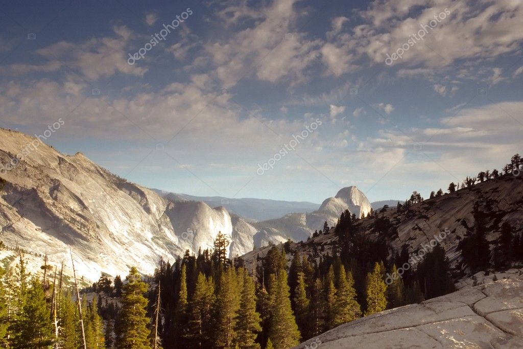
Tioga Pass — Stock Photo, Image

Tioga Pass — Photo

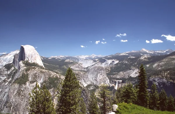
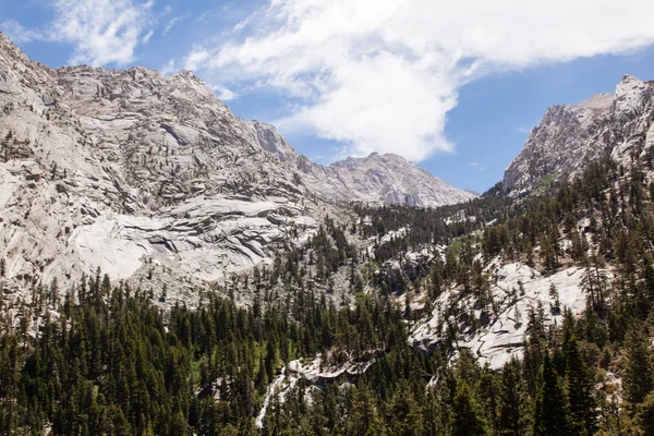
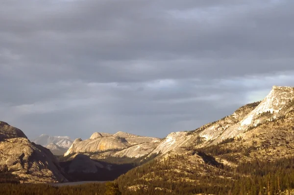
Olmsted Point, located in Yosemite National Park, is a viewing area like Glacier Point that offers an amazing view looking South-West into Yosemite.

 — Photo by melastmohican

Same Series:

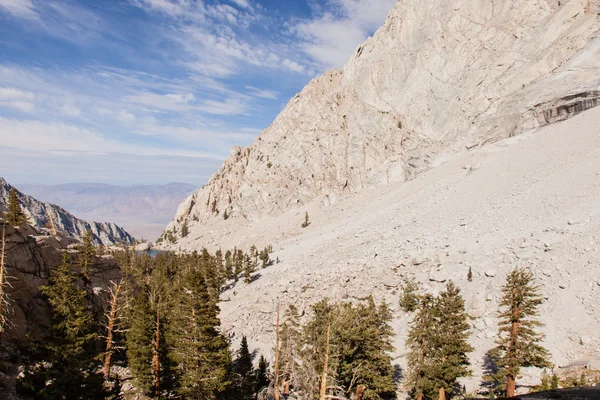
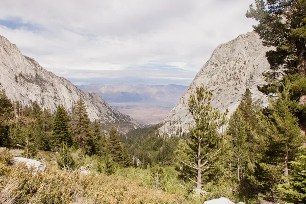
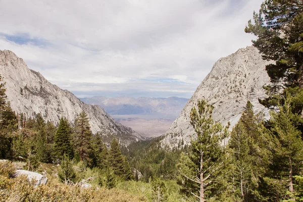
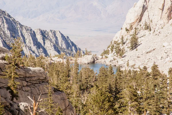
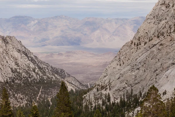
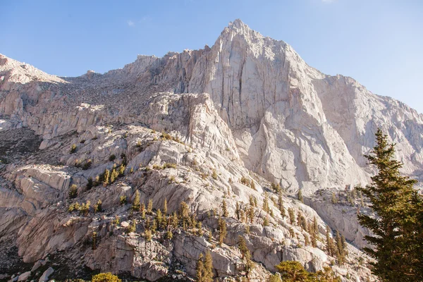
Mount Whitney Trail is a trail that climbs Mount Whitney. It starts at Whitney Portal, 13 miles (21 km) west of the town of Lone Pine, California.
Mt Whitney Trail — Stock Photo, Image
Mount Whitney Trail is a trail that climbs Mount Whitney. It starts at Whitney Portal, 13 miles (21 km) west of the town of Lone Pine, California.
Mt Whitney Trail — Stock Photo, Image
Olmsted Point, located in Yosemite National Park, is a viewing area like Glacier Point that offers an amazing view looking South-West into Yosemite. One is able
Olmsted Point — Stock Photo, Image
Mount Whitney Trail is a trail that climbs Mount Whitney. It starts at Whitney Portal, 13 miles (21 km) west of the town of Lone Pine, California.
Mt Whitney Trail — Stock Photo, Image
Mount Whitney Trail is a trail that climbs Mount Whitney. It starts at Whitney Portal, 13 miles (21 km) west of the town of Lone Pine, California.
Mt Whitney Trail — Stock Photo, Image
Mount Whitney Trail is a trail that climbs Mount Whitney. It starts at Whitney Portal, 13 miles (21 km) west of the town of Lone Pine, California.
Mt Whitney Trail — Stock Photo, Image
Mount Whitney Trail is a trail that climbs Mount Whitney. It starts at Whitney Portal, 13 miles (21 km) west of the town of Lone Pine, California.
Mt Whitney Trail — Stock Photo, Image
Mount Whitney Trail is a trail that climbs Mount Whitney. It starts at Whitney Portal, 13 miles (21 km) west of the town of Lone Pine, California.
Mt Whitney Trail — Stock Photo, Image
Mount Whitney Trail is a trail that climbs Mount Whitney. It starts at Whitney Portal, 13 miles (21 km) west of the town of Lone Pine, California.
Mt Whitney Trail — Stock Photo, Image
Mount Whitney Trail is a trail that climbs Mount Whitney. It starts at Whitney Portal, 13 miles (21 km) west of the town of Lone Pine, California.
Mt Whitney Trail — Stock Photo, Image
Mount Whitney Trail is a trail that climbs Mount Whitney. It starts at Whitney Portal, 13 miles (21 km) west of the town of Lone Pine, California.
Mt Whitney Trail — Stock Photo, Image
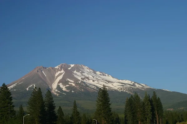
Mount Shasta stratovolcano, is the second-highest peak in the Cascade Range and the fifth highest peak in California.
Mt Shasta — Stock Photo, Image
Olmsted Point, located in Yosemite National Park, is a viewing area like Glacier Point that offers an amazing view looking South-West into Yosemite.
Tioga Pass — Stock Photo, Image
Mount Whitney Trail is a trail that climbs Mount Whitney. It starts at Whitney Portal, 13 miles (21 km) west of the town of Lone Pine, California.
Mt Whitney Trail — Stock Photo, Image
Mount Whitney Trail is a trail that climbs Mount Whitney. It starts at Whitney Portal, 13 miles (21 km) west of the town of Lone Pine, California.
Mt Whitney Trail — Stock Photo, Image

Usage Information

You can use this royalty-free photo "Tioga Pass" for personal and commercial purposes according to the Standard or Extended License. The Standard License covers most use cases, including advertising, UI designs, and product packaging, and allows up to 500,000 print copies. The Extended License permits all use cases under the Standard License with unlimited print rights and allows you to use the downloaded stock images for merchandise, product resale, or free distribution.

You can buy this stock photo and download it in high resolution up to 2400x1601. Upload Date: Nov 13, 2009