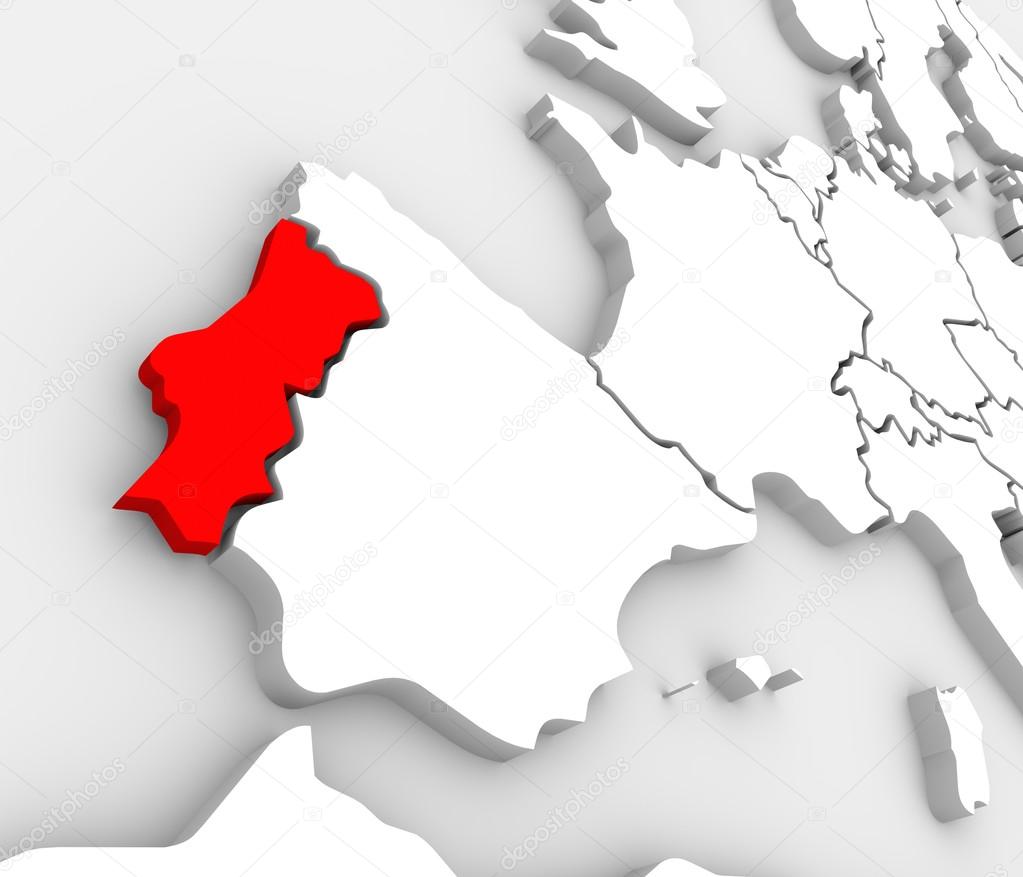
Portugal Country Map Abstract 3D Europe Atlas — Stock Photo, Image

Portugal Country Map Abstract 3D Europe Atlas — Photo

An abstract 3d map of Europe the continent and several countries, with Portugal highlighted in red, surrounded by Spain, France, the United Kingdom, Germany and other European states

 — Photo by iqoncept

Same Series:

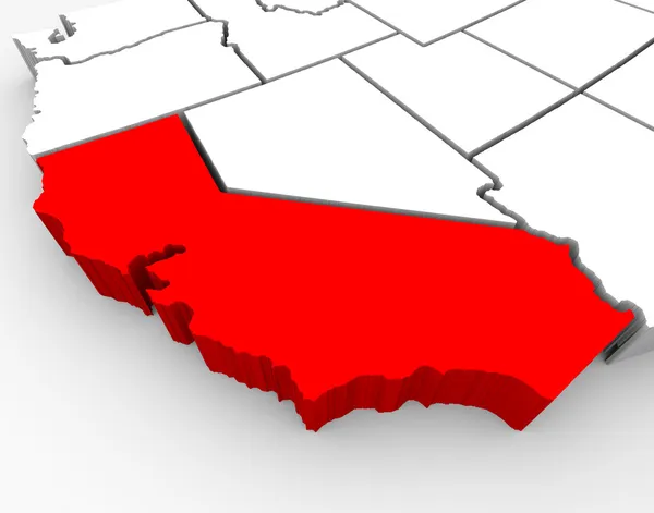
A 3d rendered map of the state of California
California Sate Map - 3d Illustration — Stock Photo, Image
An abstract 3D illustrated map of southern Europe with Greece targeted in red
Greece Abstract Illustrated 3D Map Southern Europe — Stock Photo, Image
A red abstract state map of Illinois, a 3D render symbolizing targeting the state to find its outlines and borders
Illinois Red Abstract 3D State Map United States America — Stock Photo, Image
A close up of Switzerland on an abstract 3d map of European countries
Switzerland 3d Abstract Map Country — Stock Photo, Image
The country of Spain highlighted on an abstract 3D map of Europe
Europe Abstract 3D Map Spain Country Nation — Stock Photo, Image
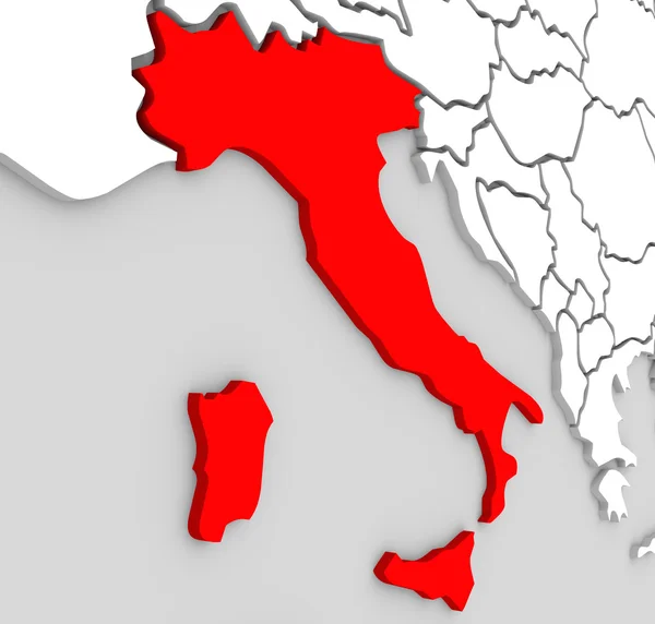
A 3d abstract map of the country or nation of Italy in central Europe surrounded by the Mediterranean Sea
Italy Nation Abstract 3d Map Red Country Mediterranean Sea — Stock Photo, Image
An abstract 3d illustrated map of the country of Sweden in the northern region of the continent of Europe surrounded by the nations Denmark, Finland and Norway
Sweden Country Map 3d Illustrated Northern Europe Continent — Stock Photo, Image
An abstract 3D illustrated map of southern Europe with Greece targeted in red
Greece Illustrated Country Map Europe 3D Continent — Stock Photo, Image
A 3d illustrated abstract map of the European continent with the county of Portugal highlighted in red, alongside countries such as Spain, Germany and France
Europe Map Portugal Country 3D Illustration — Stock Photo, Image
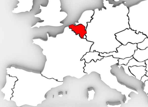
Belgium country in illustrated 3d abstract map showing neighboring countries such as France, Luxembourg, Germany, Spain, Austria and others
Belgium Country 3D Abstract Illustrated Map Europe Continent — Stock Photo, Image
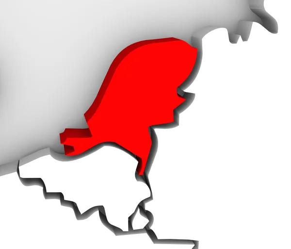
An abstract 3d map of Europe the continent and several countries, with the Netherlands highlighted in red, surrounded by Belgium France, the United Kingdom, Germany and other European states
3d Abstract Map Netherlands Europe Country — Stock Photo, Image
Finland as a red 3d illustrated abstract map in Europe
Finland Red 3d Europe Map — Stock Photo, Image
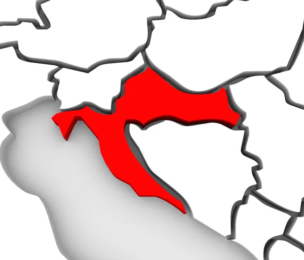
An abstract 3d map of Europe and the central or eastern region with Croatia highlighted in red and surrounding countries bosnia, herzegovina, serbia, slovenia and others
Croatia Country Abstract 3D Map Eastern Europe — Stock Photo, Image
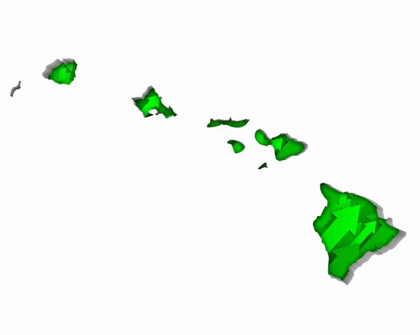
Silhouette of Hawaii with arrows on white background
Silhouette Hawaii Arrows White Background — Stock Photo, Image
The country of Romania highlighted in red on an abstract illustrated map of the continent of Europe
Romania Abstract 3D Country Europe Map — Stock Photo, Image
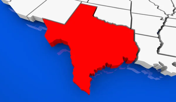
Texas State Map TX Travel Destination Business Location 3d Illustration
Texas State Map Travel Destination Business Location Illustration — Stock Photo, Image

Usage Information

You can use this royalty-free photo "Portugal Country Map Abstract 3D Europe Atlas" for personal and commercial purposes according to the Standard or Extended License. The Standard License covers most use cases, including advertising, UI designs, and product packaging, and allows up to 500,000 print copies. The Extended License permits all use cases under the Standard License with unlimited print rights and allows you to use the downloaded stock images for merchandise, product resale, or free distribution.

You can buy this stock photo and download it in high resolution up to 4200x3600. Upload Date: Apr 3, 2013