Badwater Road — Stock Photo, Image

Badwater Road — Photo

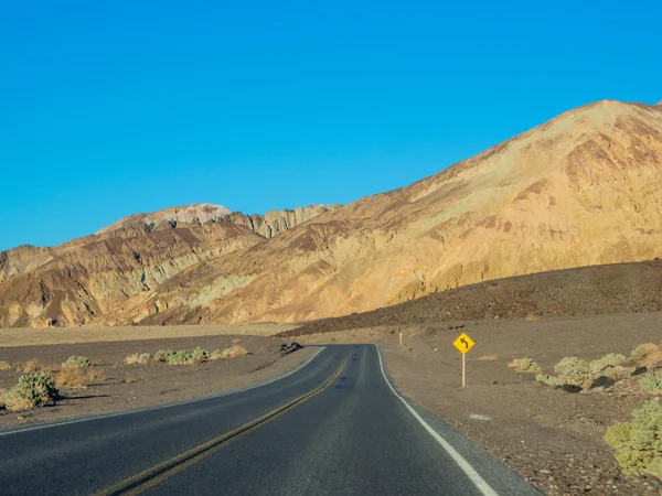
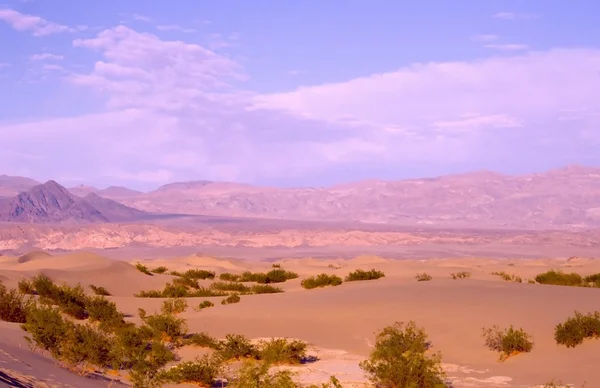
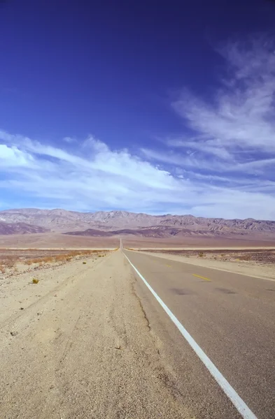
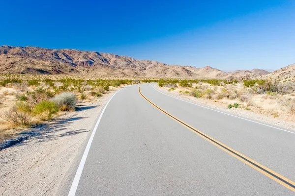
Badwater Road is not only one of the main roads through Death Valley but it is also packed with many of the Parks' most popular attractions.

 — Photo by melastmohican

Same Series:

Badwater Road is not only one of the main roads through Death Valley but it is also packed with many of the Parks' most popular attractions.
Badwater Road — Stock Photo, Image
Badwater Road is not only one of the main roads through Death Valley but it is also packed with many of the Parks' most popular attractions.
Badwater Road — Stock Photo, Image
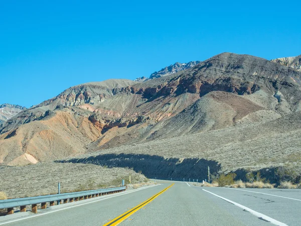
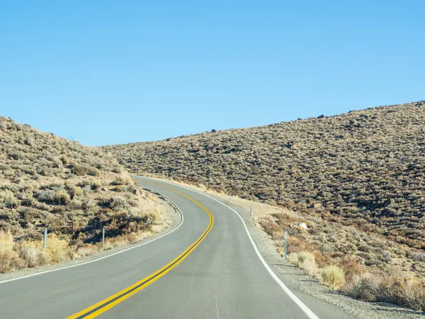
Route 190 near Towne Pass on the way to Stovepipe Wells.
Route 190 — Stock Photo, Image
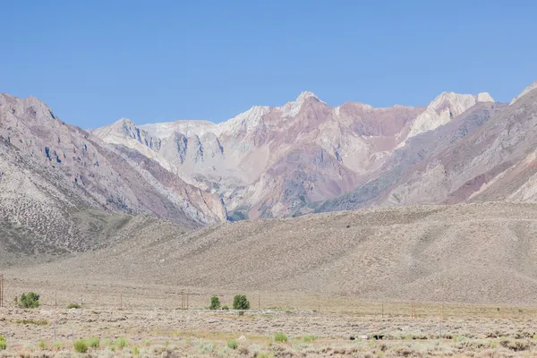
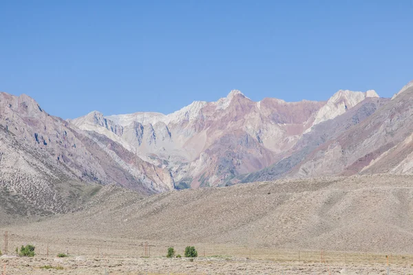
Owens Valley is the arid valley of the Owens River in eastern California in the United States, to the east of the Sierra Nevada and west of the White Mountains and Inyo Mountains on the west edge of the Great Basin section.
Owens Valley — Stock Photo, Image
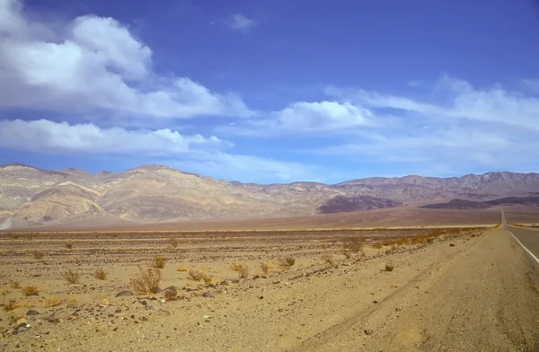
Death Valley is the lowest, driest and hottest valley in the United states. It is the location of the lowest elevation in North America
Death Valley — Stock Photo, Image
Amargosa Range is a mountain range in Inyo County, California
Amargosa Range — Stock Photo, Image
Amargosa Range is a mountain range in Inyo County, California
Amargosa Range — Stock Photo, Image
Owens Valley is the arid valley of the Owens River in eastern California in the United States, to the east of the Sierra Nevada and west of the White Mountains and Inyo Mountains on the west edge of the Great Basin section.
Owens Valley — Stock Photo, Image
Owens Valley is the arid valley of the Owens River in eastern California in the United States, to the east of the Sierra Nevada and west of the White Mountains and Inyo Mountains on the west edge of the Great Basin section.
Owens Valley — Stock Photo, Image
Furnace Creek is a census-designated place (CDP) in Inyo County, California, United States.
Furnace Creek — Stock Photo, Image
Spur route off of U.S. Route 395 south of Bridgeport, leading into Bodie State Historic Park.
California State Route 270 — Stock Photo, Image
Death Valley is the lowest, driest and hottest valley in the United states. It is the location of the lowest elevation in Western hemisphere
Death Valley — Stock Photo, Image
Spur route off of U.S. Route 395 south of Bridgeport, leading into Bodie State Historic Park.
California State Route 270 — Stock Photo, Image
Death Valley is the lowest, driest and hottest valley in the United states. It is the location of the lowest elevation in North America
Death Valley — Stock Photo, Image
Joshua Tree National Park is located in south-eastern California.
Joshua Tree — Stock Photo, Image
Route 190 near Owens Dry Lake on th eway to Death Valley National Park.
Route 190 — Stock Photo, Image

Usage Information

You can use this royalty-free photo "Badwater Road" for personal and commercial purposes according to the Standard or Extended License. The Standard License covers most use cases, including advertising, UI designs, and product packaging, and allows up to 500,000 print copies. The Extended License permits all use cases under the Standard License with unlimited print rights and allows you to use the downloaded stock images for merchandise, product resale, or free distribution.

You can buy this stock photo and download it in high resolution up to 3500x2625. Upload Date: Jan 9, 2014