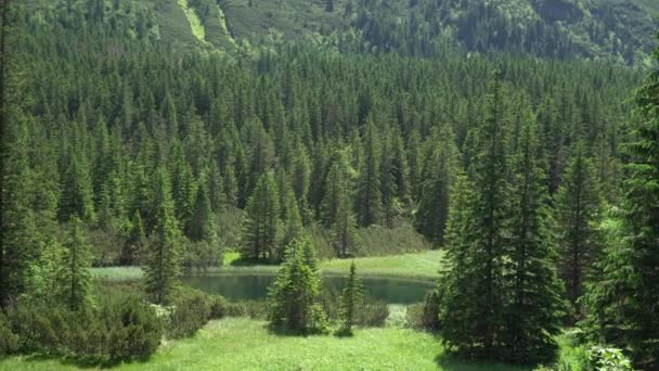
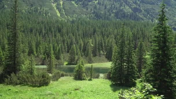
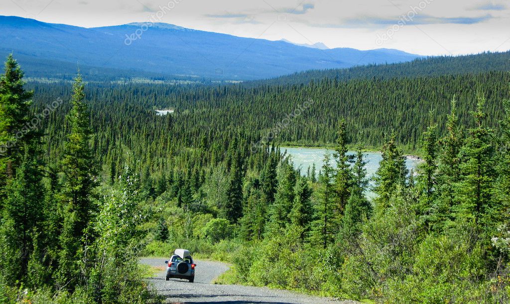
North Canol Road, Yukon Territory, Canada — Stock Photo, Image

North Canol Road, Yukon Territory, Canada — Photo

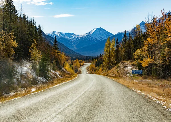
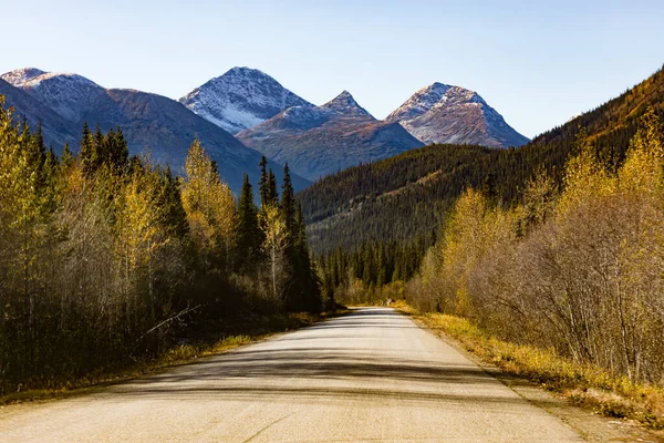
Travelling the North Canol Road, Yukon Territory, Canada, with canoe on roofrack.

 — Photo by PiLens

Same Series:

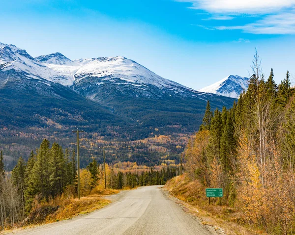
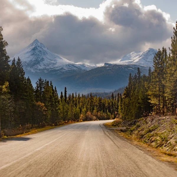
Late autumn fall and snowy mountains 137 km from Dease Lake on Stewart-Cassiar Highway 37 in Northern British Columbia, BC, Canada
Late Autumn Fall Snowy Mountains 137 Dease Lake Stewart Cassiar — Stock Photo, Image
First snow in late fall or early winter at northern section of scenic route of Stewart-Cassair-Highway 37 in Northern British Coumbia mountain landscape, BC, Canada
First Snow Late Fall Early Winter Northern Section Scenic Route — Stock Photo, Image
Bicycle on ice surface of huge frozen Lake Laberge, Yukon Territory, Canada, in April.
Bike on frozen Lake Laberge, Yukon, Canada — Stock Photo, Image
Bicycle on ice surface of huge frozen Lake Laberge, Yukon Territory, Canada, in April.
Bike on frozen Lake Laberge, Yukon, Canada — Stock Photo, Image
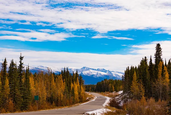
Late fall in the mountains around Stewart-Cassiar Highway 37 in Northern British Columbia, BC, Canada, just north of settlement of Good Hope Lake
Late Fall Mountains Stewart Cassiar Highway Northern British Columbia Canada — Stock Photo, Image
Boreal forest taiga wilderness with still frozen ice surface of Lake Laberge end of April at spring time in the Yukon Territory, Canada
Lake Laberge spring frozen surface Yukon Canada — Stock Photo, Image
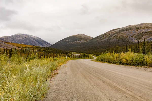
Dempster Highway gravel dirt road in subarctic terrain of Ogilvie Mountains, Yukon Territory, YT, Canada
Dempster Highway Gravel Dirt Road Subarctic Terrain Ogilvie Mountains Yukon — Stock Photo, Image
Bicycle on ice surface of huge frozen Lake Laberge, Yukon Territory, Canada, in April.
Bike on frozen Lake Laberge, Yukon, Canada — Stock Photo, Image
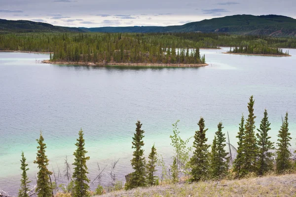
Twin Lakes, Yukon Territory, Canada
Twin Lakes, Yukon Territory, Canada — Stock Photo, Image
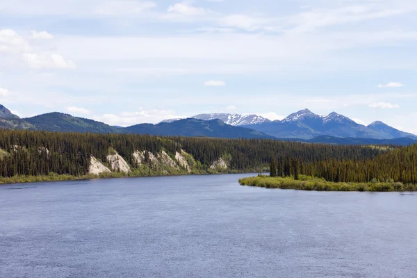
Boreal forest landscape of Teslin River just north of Teslin Lake, Yukon Territory, Canada
Teslin River Yukon Territory Canada — Stock Photo, Image
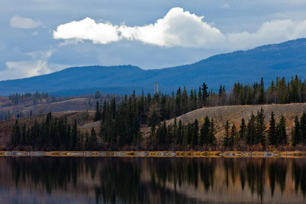
Power transmission line at calm small lake in late fall, Yukon Territory, Canada
Power Line at Calm Yukon Lake in Late Fall, Canada — Stock Photo, Image
Late autumn fall in mountains around Stewart-Cassiar Highway 37 in Northern British Columbia, BC, Canada, southwest of village of Good Hope Lake
Late Autumn Fall Mountains Stewart Cassiar Highway Northern British Columbia — Stock Photo, Image
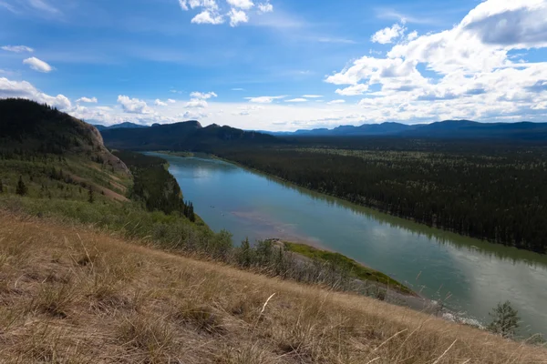
Yukon River at Eagle Bluff, Yukon Territory, Canada, site of SS Columbia desaster.
Yukon River — Stock Photo, Image
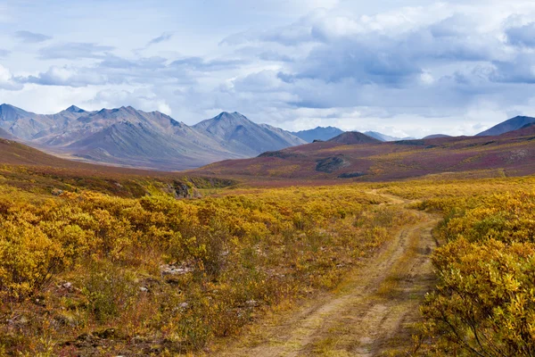
Autumn fall colors in mountain tundra of Tombstone Territorial Park near Dempster Highway north of Dawson City, Yukon Territory, Canada
Fall color Tombstone Territorial Park Yukon Canada — Stock Photo, Image
Late autumn fall in mountains around Stewart-Cassiar Highway 37 in Northern British Columbia, BC, Canada, southwest of village of Good Hope Lake
Late Autumn Fall Mountains Stewart Cassiar Highway Northern British Columbia — Stock Photo, Image
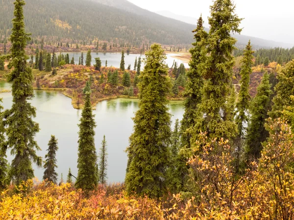
Rainy autumn weather at lake surrounded by beautiful colorful boreal forest wilderness of Yukon Territory, Canada
Fall rain on wilderness lake, Yukon T., Canada — Stock Photo, Image

Usage Information

You can use this royalty-free photo "North Canol Road, Yukon Territory, Canada" for personal and commercial purposes according to the Standard or Extended License. The Standard License covers most use cases, including advertising, UI designs, and product packaging, and allows up to 500,000 print copies. The Extended License permits all use cases under the Standard License with unlimited print rights and allows you to use the downloaded stock images for merchandise, product resale, or free distribution.

You can buy this stock photo and download it in high resolution up to 2579x1539. Upload Date: Sep 24, 2010