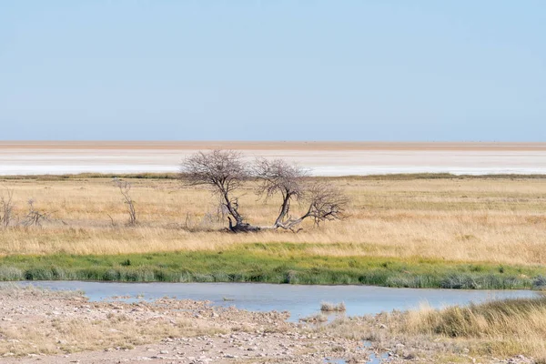
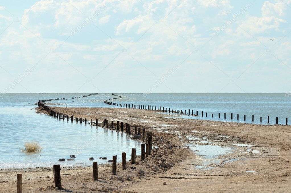
Flooded road to viewpoint on the Etosha Pan — Stock Photo, Image

Flooded road to viewpoint on the Etosha Pan — Photo

Flooded road to viewpoint on the Etosha Pan in Namibia

 — Photo by dpreezg

Same Series:

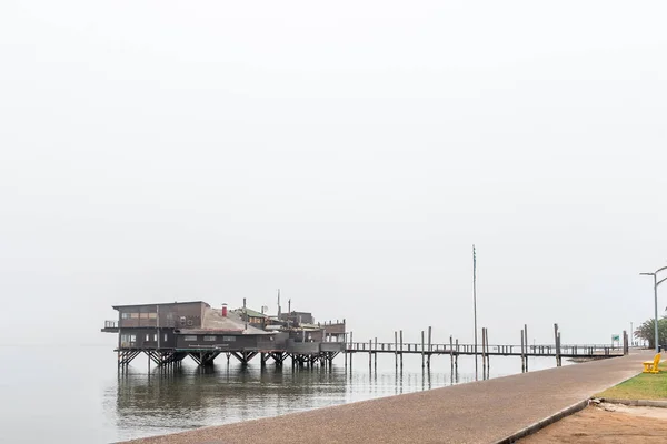
WALVIS BAY, NAMIBIA - JULY 1, 2017: The Raft Restaurant on the lagoon in Walvis Bay on the Atlantic Coast of Namibia
Raft Restaurant on the lagoon in Walvis Bay — Stock Photo, Image
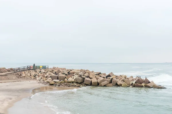
SWAKOPMUND, NAMIBIA - JUNE 30, 2017: The seawall at the Molen in Swakopmund in the Namib Desert on the Atlantic Coast of Namibia
Seawall at the Molen in Swakopmund — Stock Photo, Image
VELDDRIF, SOUTH AFRICA - APRIL 1, 2017: View of a bridge over part of the Berg River with Velddrif in the back
Bridge over the Berg River with Velddrif in the back — Stock Photo, Image
Cormorants on a seawall at the entrance to the harbor in the mouth of the Berg River in Laaiplek in the Western Cape Province of South Africa
Cormorants at the mouth of the Berg River in Laaiplek — Stock Photo, Image
A street name and directional signs at Mouille Point in Cape Town in the Western Cape Province
Street Name Directional Signs Mouille Point Cape Town Western Cape — Stock Photo, Image
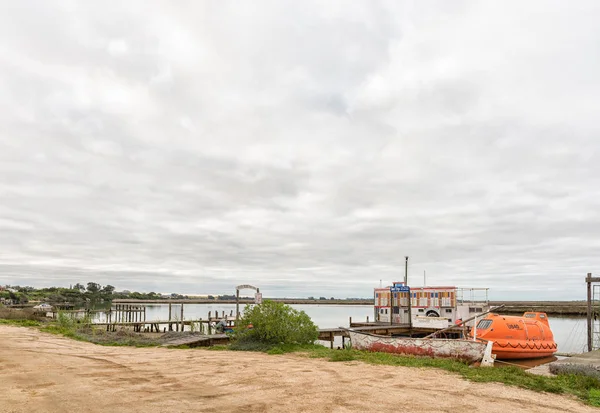
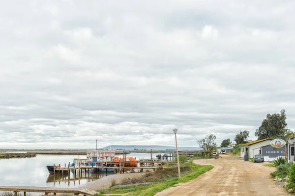
VELDDRIF, SOUTH AFRICA, AUGUST 22, 2018: The Berg River next to Bokkom Avenue in Velddrif in the Western Cape Province. Piers and boats are visible
Velddrif South Africa August 2018 Berg River Next Bokkom Avenue — Stock Photo, Image
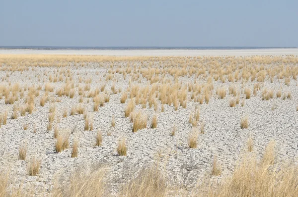
White clay and grass landscape at Fischer's Pan, Etosha National Park, Namibi
White clay and grass landscape — Stock Photo, Image
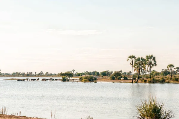
Cattle crossing a Cuvelai oshana floodwater channel near Oshakati in Northern Namibia
Cattle Crossing Cuvelai Oshana Floodwater Channel Oshakati Northern Namibia — Stock Photo, Image
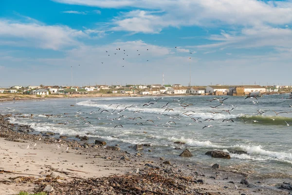
HONDEKLIPBAAI, SOUTH AFRICA - AUGUST 14, 2015: A flight of gulls take off over the bay at Hondeklipbaai (dog stone bay), a small town on the Atlantic coast
Flight of gulls — Stock Photo, Image
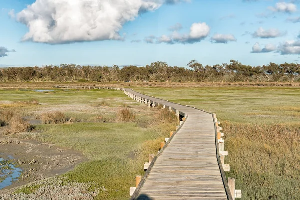
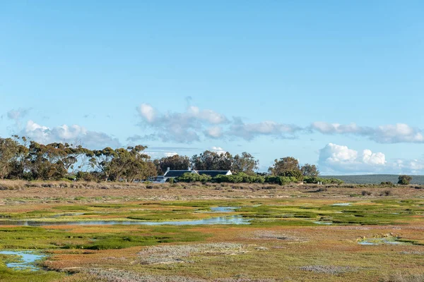
View from the boardwalk to the Geelbek Bird Hide on the Langebaan Lagoon on the Atlantic Ocean coast of the Western Cape Province
View Boardwalk Geelbek Bird Hide Langebaan Lagoon Atlantic Ocean Coast — Stock Photo, Image
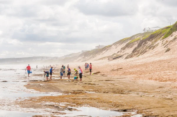
MOSSELBAY, SOUTH AFRICA - DECEMBER 28, 2014: Unidentified tourists enjoying a hazy day at the beach in Reebok
Hazy day at the beach in Reebok — Stock Photo, Image
A waterhole with a dead tree and the Etosha Pan in Northern Namibia in the back
Waterhole, dead tree and the Etosha Pan — Stock Photo, Image
VELDDRIF, SOUTH AFRICA, AUGUST 22, 2018: A view of Restaurants and businesses in Bokkom Avenue next to the Berg River in Velddrif in the Western Cape Province. Piers and boats are visible
Velddrif South Africa August 2018 View Restaurants Businesses Bokkom Avenue — Stock Photo, Image
Rusted railroad tracks at the mouth of the Swakop River at Swakopmund in the Namib Desert
Rusted railroad tracks at the mouth of the Swakop River — Stock Photo, Image
WEST COAST NATIONAL PARK, SOUTH AFRICA, AUGUST 20, 2018: View towards Geelbek Restaurant as seen from the boardwalk to the Geelbek Bird Hide on the Langebaan Lagoon
West Coast National Park South Africa August 2018 View Geelbek — Stock Photo, Image
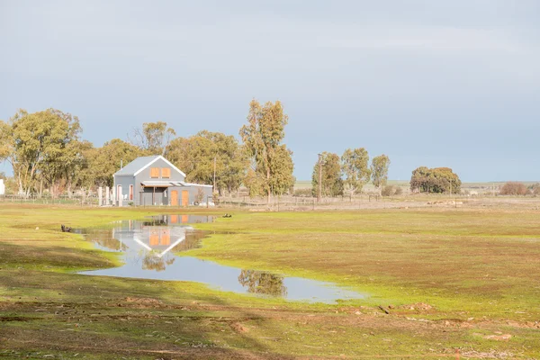
NIEUWOUDTVILLE, SOUTH AFRICA - AUGUST 11, 2015: A rustic late afternoon scene in Nieuwoudtville, a smal town in the Hantam Karoo region of the Northern Cape Province
Late afternoon scene in Nieuwoudtville — Stock Photo, Image

Usage Information

You can use this royalty-free photo "Flooded road to viewpoint on the Etosha Pan" for personal and commercial purposes according to the Standard or Extended License. The Standard License covers most use cases, including advertising, UI designs, and product packaging, and allows up to 500,000 print copies. The Extended License permits all use cases under the Standard License with unlimited print rights and allows you to use the downloaded stock images for merchandise, product resale, or free distribution.

You can buy this stock photo and download it in high resolution up to 4191x2783. Upload Date: Feb 1, 2014