United States America Map — Stock Photo, Image

United States America Map — Photo

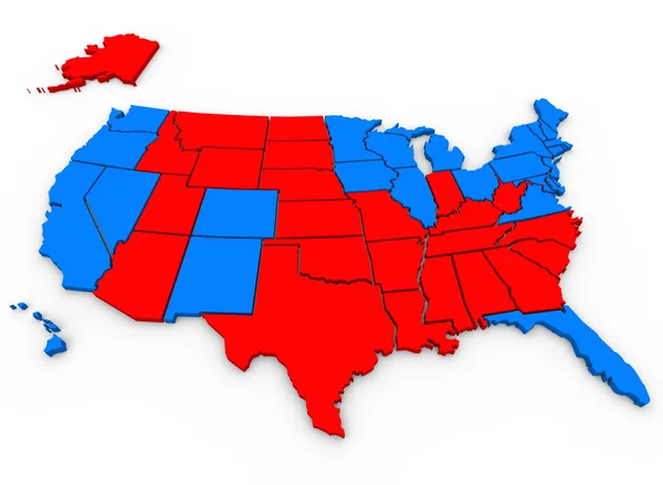
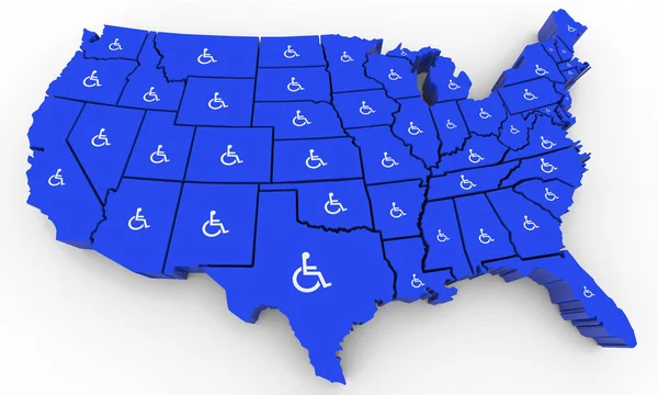
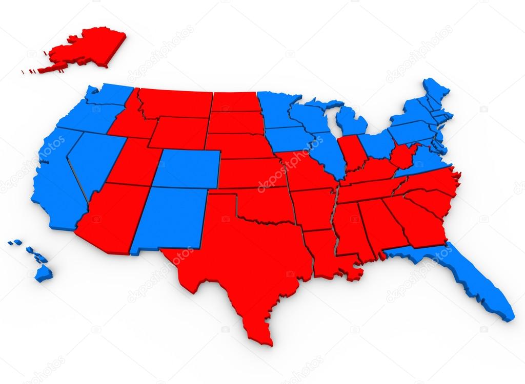
This 3d rendered, illustrated United States of America map shows the blue states that voted for Barack Obama and red states that voted for Mitt Romney in the 2012 USA presidential election

 — Photo by iqoncept

Same Series:

3d rendered, illustrated United States of America map shows the blue states that voted for Barack Obama and red states that voted for Mitt Romney in the 2012 USA presidential election
United States of America map — Stock Photo, Image
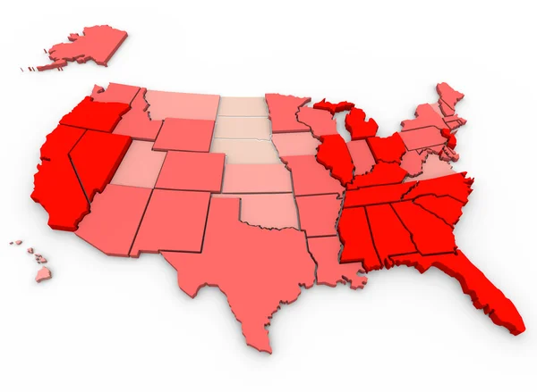
Population Growth Change United States of America 3d Illustrated Map
Growth Change United States of America — Stock Photo, Image
United States of America USA 3d red map background to illustrate the country or nation geography
United States America USA — Stock Photo, Image
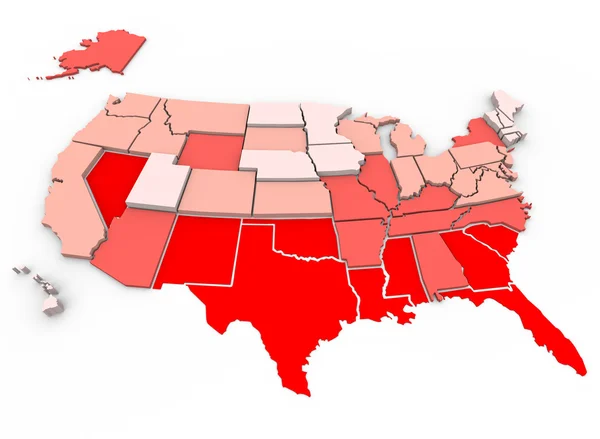
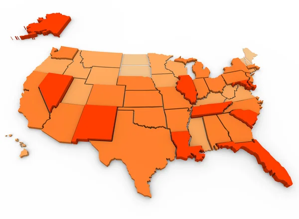
A United States map showing unemployment rates by state, with red being highest percentage of joblessness
Unemployment Rates - United States Map — Stock Photo, Image
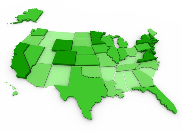
Per Capita Income of United States - state comparison with darkest states representing those with highest income levels, based on US census data
Per Capita Income - United States Map — Stock Photo, Image
A 3d render of a map of the United States of America
United States Map — Stock Photo, Image
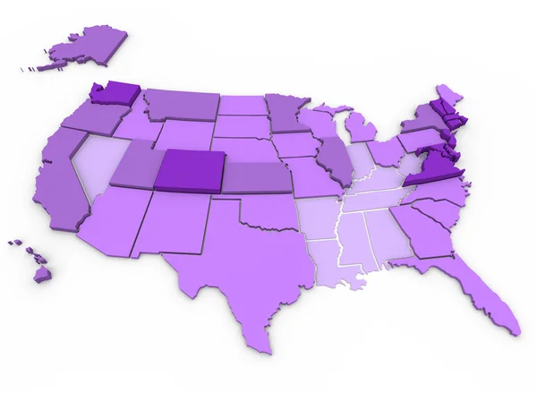
U.S. Map showing percent of citizens 25 years and older with bachelor's degree or higher education by state. Dark purple is highest (over 27.5 percent), lightes
Levels of Education by State - US Map — Stock Photo, Image
Red = unhealthiest states, White = healthiest states, based on 21 health factors measured in 2005. Health Care State Rankings, Morgan Quinto Press
Healthiest vs Unhealthiest - United States Map — Stock Photo, Image
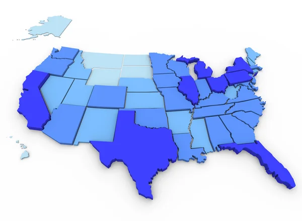
A 3d map of the United States, with the most populated states in dark blue and the least populated in light blue, data from 2000 U.S. Census
U.S. Population - Map of Most Populated States — Stock Photo, Image
A 3d map of the United States, showing the states with the most violent crimes per capita in dark orange, and the states with the least in very light orange
Violent Crimes Per Capita - U.S. Map — Stock Photo, Image
Coronavirus USA Cases Patients Statistics United States America Map 3d Illustration
Coronavirus Usa Cases Patients Statistics United States America Map Illustration — Stock Photo, Image
Green Clean Energy Electricity Power USA United States Map 3d Illustration
Green Clean Energy Electricity Power USA United States Map 3d Illustration — Stock Photo, Image
Ohio State Map USA United States America Flag 3d Illustration
Ohio State Map USA Flag — Stock Photo, Image
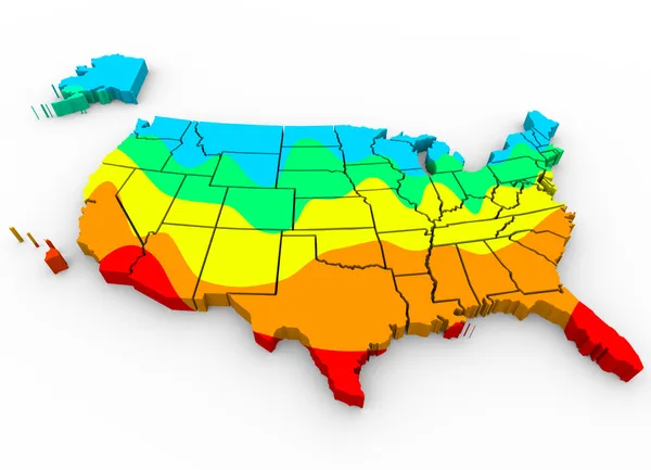
A map of the United States of America with regions color coded to illustrate average temperatures with hottest areas in red and coldest in blue
Map of the  United States of America — Stock Photo, Image
Wheelchair Disabled Person Symbol Disability USA United States America Population 3d Illustration
Wheelchair Disabled Person Symbol Disability USA United States America Population 3d Illustration — Stock Photo, Image
United States of America USA State Map Geography White Shapes Forming 3d Illustration
United States America Usa State Map Geography White Shapes Forming — Stock Photo, Image

Usage Information

You can use this royalty-free photo "United States America Map" for personal and commercial purposes according to the Standard or Extended License. The Standard License covers most use cases, including advertising, UI designs, and product packaging, and allows up to 500,000 print copies. The Extended License permits all use cases under the Standard License with unlimited print rights and allows you to use the downloaded stock images for merchandise, product resale, or free distribution.

You can buy this stock photo and download it in high resolution up to 4000x2930. Upload Date: Mar 29, 2014