New hampshire — Stock Vector

New hampshire — Vector

United States of America map and New Hampshire state territory isolated on white background

 — Vector by metrue

Same Series:

United States of America isolated map and Pennsylvania State territory. vector USA political maps. geographic banner template
United States of America isolated map and Pennsylvania State territory. vector USA political maps. geographic banner template — Stock Vector
United States of America isolated map and Massachusetts State territory. vector USA political map. geographic banner template
United States of America isolated map and Massachusetts State territory. vector USA political map. geographic banner template — Stock Vector
United States of America isolated map and Vermont State territory. vector USA political map. geographic banner template
United States of America isolated map and Vermont State territory. vector USA political map. geographic banner template — Stock Vector
United States of America isolated map and Pennsylvania State territory. vector USA political maps. geographic banner template
United States of America isolated map and Pennsylvania State territory. vector USA political maps. geographic banner template — Stock Vector
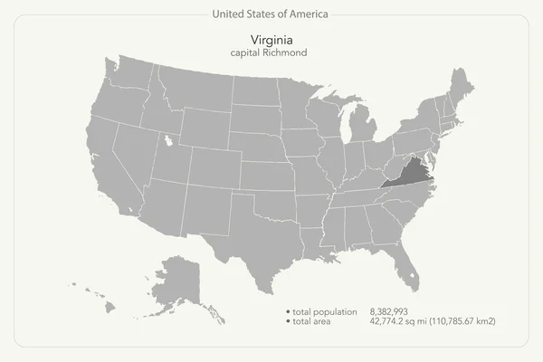
United States of America isolated map and Virginia State territory. vector USA political map. geographic banner template
United States of America isolated map and Virginia State territory. vector USA political map. geographic banner template — Stock Vector
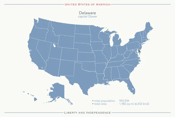
United States of America isolated map and Delaware state territory. vector USA political map. geographic banner design
United States of America isolated map and Delaware state territory. vector USA political map. geographic banner design — Stock Vector
United States of America map and Minnesota territory on paper texture
Minnesota — Stock Vector
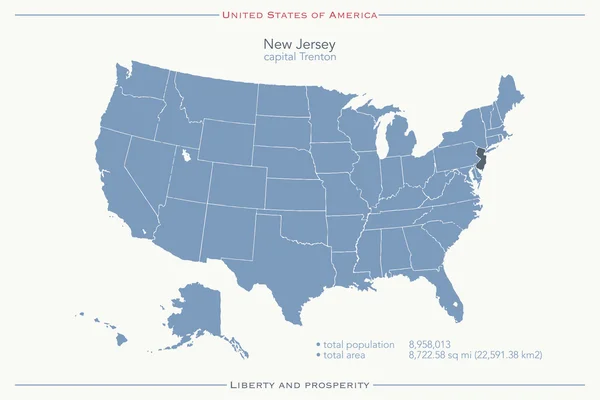
United States of America isolated map and New Jersey State territory. vector USA political map. geographic banner template
United States of America isolated map and New Jersey State territory. vector USA political map. geographic banner template — Stock Vector
United States of America isolated map and Massachusetts State territory. vector USA political map. geographic banner template
United States of America isolated map and Massachusetts State territory. vector USA political map. geographic banner template — Stock Vector
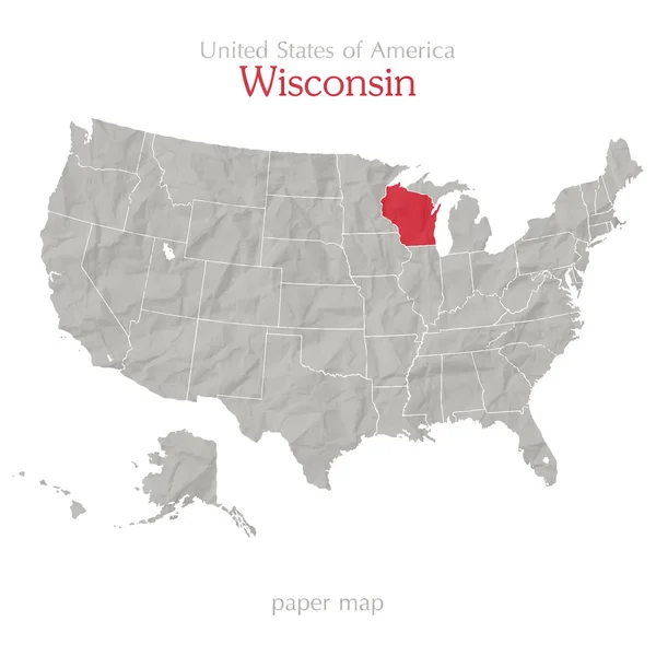
United States of America map and Wisconsin state territory on paper texture
Wisconsin — Stock Vector
United States of America isolated map and Virginia State territory. vector USA political map. geographic banner template
United States of America isolated map and Virginia State territory. vector USA political map. geographic banner template — Stock Vector
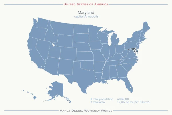
United States of America isolated map and Maryland State territory. vector USA political map. geographic banner design
United States of America isolated map and Maryland State territory. vector USA political map. geographic banner design — Stock Vector
United States of America map and Nevada territory on textured paper
Nevada — Stock Vector
United States of America map and North Dakota territory isolated on white background
North dakota — Stock Vector
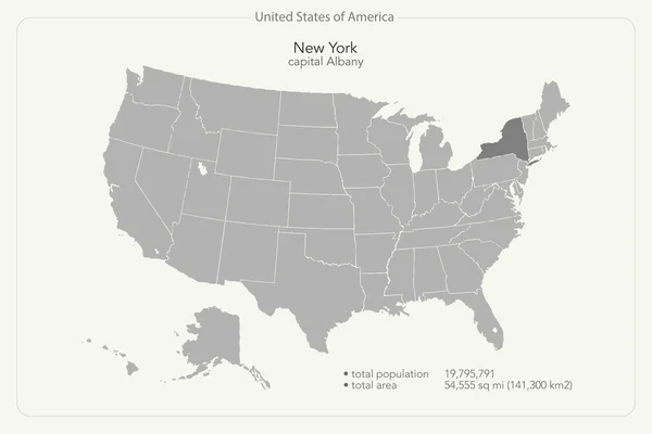
United States of America isolated map and New York State territory. vector USA political map. geographic banner template
United States of America isolated map and New York State territory. vector USA political map. geographic banner template — Stock Vector

Similar Stock Videos:
India map highlighted in India flag colors and pin of country capital New Delhi, map with neighboring Asian countries.
India Map Highlighted India Flag Colors Pin Country Capital New — Stock Video
Uzbekistan map highlighted in Uzbekistan flag colors and pin of country capital Tashkent, map with neighboring Asian countries.
Uzbekistan Map Highlighted Uzbekistan Flag Colors Pin Country Capital Tashkent — Stock Video
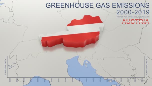
Greenhouse gas emissions in Austria from 2000 to 2019. Values in tonnes per capita (CO2 equivalent). Source data: Eurostat. 3D rendering loop able video with 4K resolution.
Greenhouse Gas Emissions Austria 2000 2019 Values Tonnes Capita Co2 — Stock Video
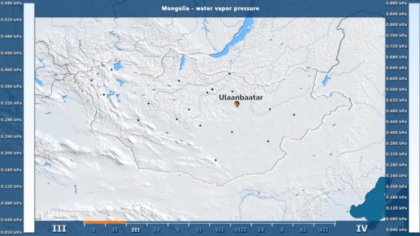
Water vapor pressure by month in the Mongolia area with animated legend - English labels: country and capital names, map description. Stereographic projection
Water Vapor Pressure Month Mongolia Area Animated Legend English Labels — Stock Video
Animated detailed map of Germany country
Animated detailed map of Germany — Stock Video
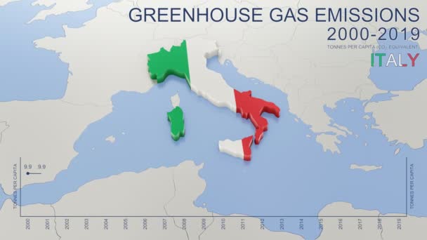
Greenhouse gas emissions in Italy from 2000 to 2019. Values in tonnes per capita (CO2 equivalent). Source data: Eurostat. 3D rendering loop able video with 4K resolution.
Greenhouse Gas Emissions Italy 2000 2019 Values Tonnes Capita Co2 — Stock Video
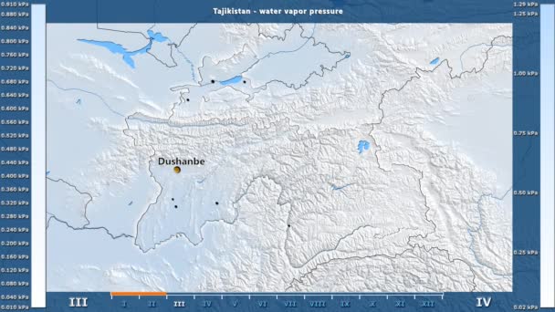
Water vapor pressure by month in the Tajikistan area with animated legend - English labels: country and capital names, map description. Stereographic projection
Water Vapor Pressure Month Tajikistan Area Animated Legend English Labels — Stock Video
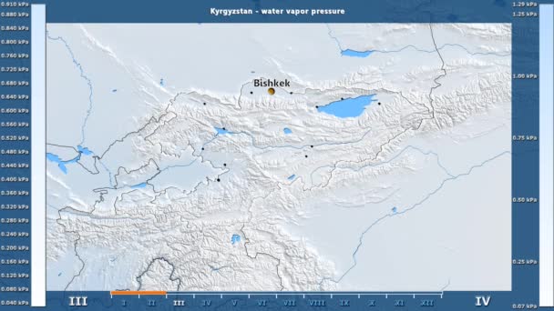
Water vapor pressure by month in the Kyrgyzstan area with animated legend - English labels: country and capital names, map description. Stereographic projection
Water Vapor Pressure Month Kyrgyzstan Area Animated Legend English Labels — Stock Video
Water vapor pressure by month in the Moldova area with animated legend - English labels: country and capital names, map description. Stereographic projection
Water Vapor Pressure Month Moldova Area Animated Legend English Labels — Stock Video
James Cook. great geographical discoveries. trip around the world
The great world tour - James Cook. — Stock Video
Vintage American Map Animation With States Names/ 4k animation of a vintage textured american map background, with names of fifty states
Vintage American Map Animation States Names Animation Vintage Textured American — Stock Video
Vintage American Map Animation With States Names/ 4k animation of a vintage textured american map background, with names of fifty states
Vintage American Map Animation States Names Animation Vintage Textured American — Stock Video
Santa Cruz blinking red highlighted in map of Argentina
Santa Cruz Blinking Red Highlighted Map Argentina — Stock Video
Abstract line animation Missouri State of USA on hexagon style. Missouri state. United States of America. Outline map of Missouri federal state highlighted from map of USA.
Abstract line animation Missouri State of USA on hexagon style. Missouri state. United States of America. Outline map of Missouri federal state highlighted from map of USA — Stock Video
Water vapor pressure by month in the Belgium area with animated legend - English labels: country and capital names, map description. Stereographic projection
Water Vapor Pressure Month Belgium Area Animated Legend English Labels — Stock Video
Puducherry India federal state map outline animation
Puducherry India Federal State Map Outline Animation — Stock Video
Vintage American Map Animation With States Names/ 4k animation of a vintage textured american map background, with names of fifty states
Vintage American Map Animation States Names Animation Vintage Textured American — Stock Video
Line map the national flag of Nigeria in stop motion effect. Nigeria flag brush strokes art background. High quality 4k footage
Line map the national flag of Nigeria in stop motion effect. Nigeria flag brush strokes art background. — Stock Video

Usage Information

You can use this royalty-free vector image "New hampshire" for personal and commercial purposes according to the Standard or Extended License. The Standard License covers most use cases, including advertising, UI designs, and product packaging, and allows up to 500,000 print copies. The Extended License permits all use cases under the Standard License with unlimited print rights and allows you to use the downloaded vector files for merchandise, product resale, or free distribution.

This stock vector image is scalable to any size. You can buy and download it in high resolution up to 4000x4000. Upload Date: May 12, 2014