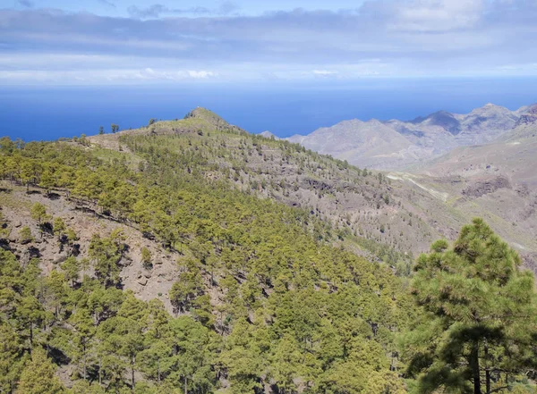
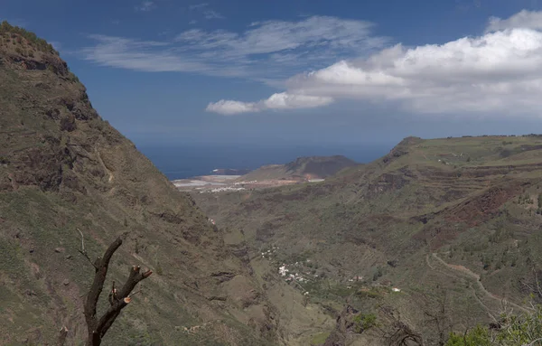
Gran Canaria, aerial view from Pico de Bandama — Stock Photo, Image

Gran Canaria, aerial view from Pico de Bandama — Photo

Gran Canaria, aerial view from Pico de Bandama

 — Photo by Tamara_k

Same Series:

Gran Canaria, landscape of the central part of the island, Las Cumbres, ie The Summits
Gran Canaria Landscape Central Part Island Las Cumbres Summits — Stock Photo, Image
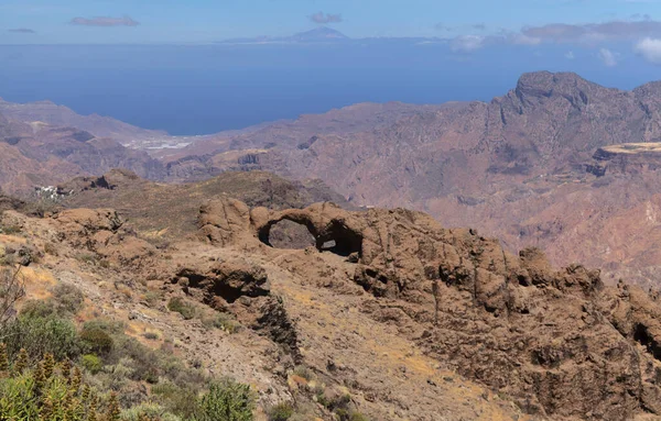
Gran Canaria, landscape of the central part of the island, Las Cumbres, ie The Summits, hiking route Cruz de Timagada - Lajas del Nublo - Aserrador - Chimirique
Gran Canaria Landscape Central Part Island Las Cumbres Summits Hiking — Stock Photo, Image
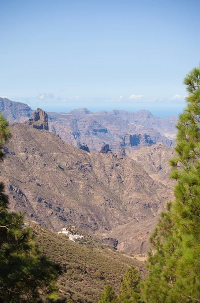
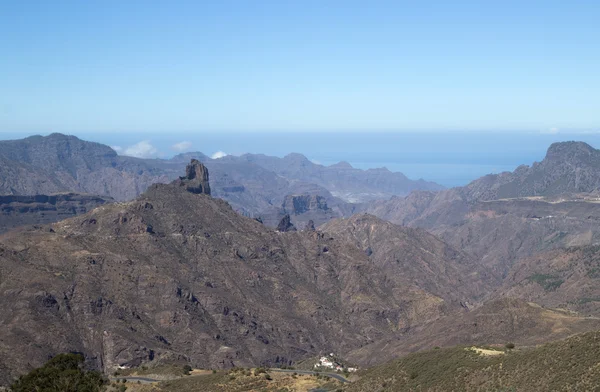
Gran Canaria, Caldera de Tejeda, morning light, Roque Bentayga dominated the landscape
Gran Canaria, Caldera de Tejeda, morning light — Stock Photo, Image
Inland Gran Canaria, Caldera de Tejeda, Roque Bentayga
Inland Gran Canaria, Caldera de Tejeda — Stock Photo, Image
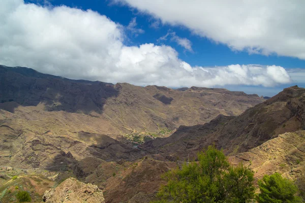
Gran Canaria, Caldera of Tejeda, view from Cruz de Tejeda viewpoint
Gran Canaria, Caldera de Tejeda — Stock Photo, Image
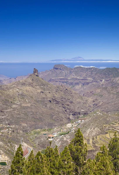
Gran Canaria, June, view across caldera de Tejeda towards Teide on Tenerife
Gran Canaria,  June — Stock Photo, Image
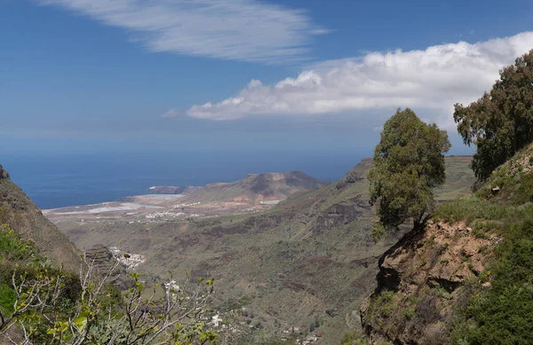
Western Gran Canaria, May, hiking route Tasartico - Playa GuiGui, ravine Barranco de Guigui Grande, steep rocky slopes
Western Gran Canaria, May — Stock Photo, Image
Gran Canaria, landscape of the central montainous part of the island, hiking route in the upper part of Agaete valley, famous for its coffee plantations
Gran Canaria Landscape Central Montainous Part Island Hiking Route Upper — Stock Photo, Image
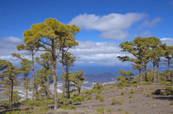
West Gran Canaria in February, hiking path through old pine forest around Integral Nature Reserve Inagua
West Gran Canaria in February — Stock Photo, Image
La Gomera, Canary islands, view over Barranco de Cabrito ravine from Degollada de Peraza
La Gomera, Canary islands — Stock Photo, Image
Gran Canaria, Caldera de Tejeda, morning light, Roque Bentayga dominated the landscape
Gran Canaria, Caldera de Tejeda, morning light — Stock Photo, Image
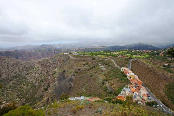
Gran Canaria, aerial view from Pico de Bandama
Gran Canaria, aerial view from Pico de Bandama — Stock Photo, Image
Gran Canaria, aerial view south west from Pico de Bandama
Gran Canaria, aerial view west from Pico de Bandama — Stock Photo, Image
Gran Canaria, landscape of the central montainous part of the island, hiking route in the upper part of Agaete valley, famous for its coffee plantations
Gran Canaria Landscape Central Montainous Part Island Hiking Route Upper — Stock Photo, Image
Gran Canaria, landscape of the western part of the island along a hiking route called The Postman Route, El Camino del Cartero
Gran Canaria Landscape Western Part Island Hiking Route Called Postman — Stock Photo, Image
West Gran Canaria in February, hiking path through old pine forest around Integral Nature Reserve Inagua
West Gran Canaria in February — Stock Photo, Image

Usage Information

You can use this royalty-free photo "Gran Canaria, aerial view from Pico de Bandama" for personal and commercial purposes according to the Standard or Extended License. The Standard License covers most use cases, including advertising, UI designs, and product packaging, and allows up to 500,000 print copies. The Extended License permits all use cases under the Standard License with unlimited print rights and allows you to use the downloaded stock images for merchandise, product resale, or free distribution.

You can buy this stock photo and download it in high resolution up to 5498x3565. Upload Date: Jul 23, 2014