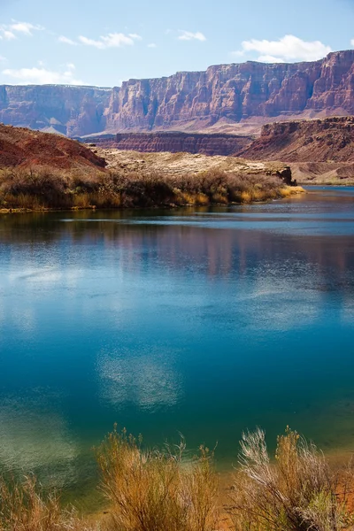
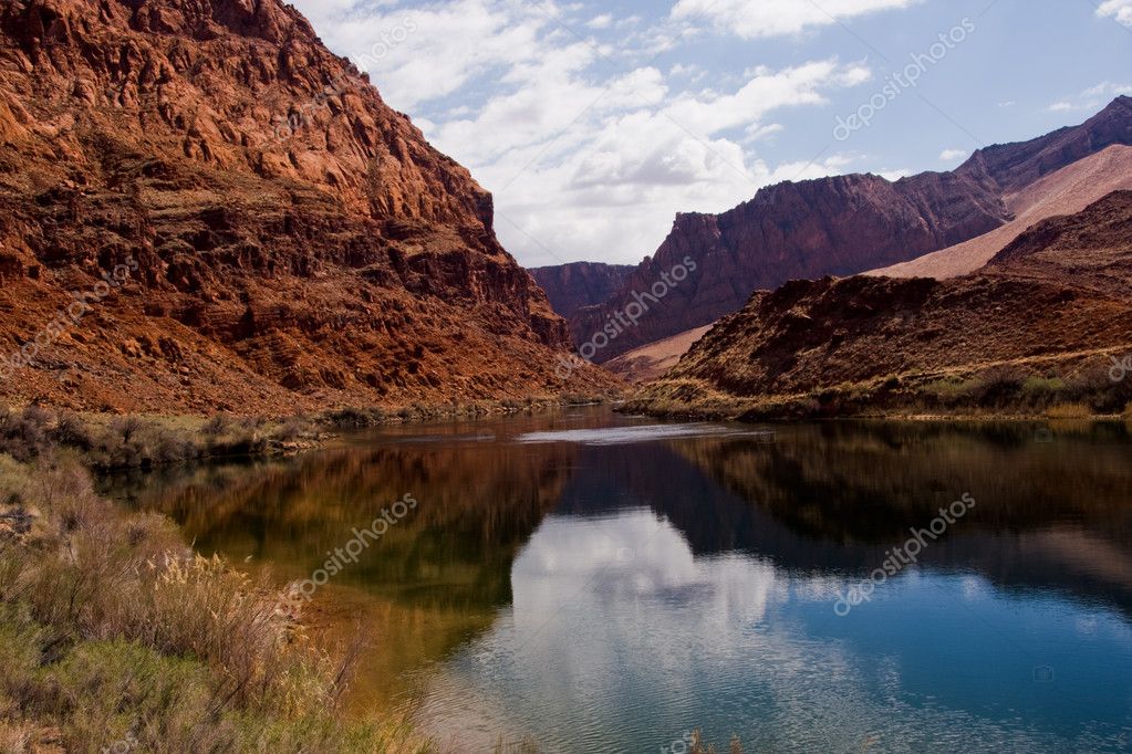
Colorado River at Lees Ferry Crossing — Stock Photo, Image

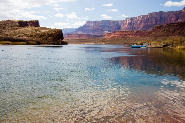
Colorado River at Lees Ferry Crossing — Photo

Lees Ferry is the only place within Glen Canyon where visitors can drive to the Colorado River in over 700 miles of Canyon Country, right up to the first "rapid

 — Photo by sprokop

Same Series:

The Colorado River at the bottom of the Grand Canyon
Colorado River at the Grand Canyon — Stock Photo, Image
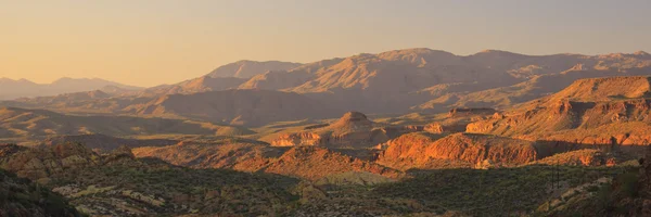
Desert landscape near Phoenix, Arizona
Arizona Desert — Stock Photo, Image
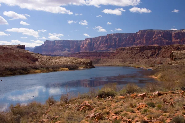
Lees Ferry is the only place within Glen Canyon where visitors can drive to the Colorado River in over 700 miles of Canyon Country, right up to the first "rapid
Colorado River at Lees Ferry Crossing — Stock Photo, Image
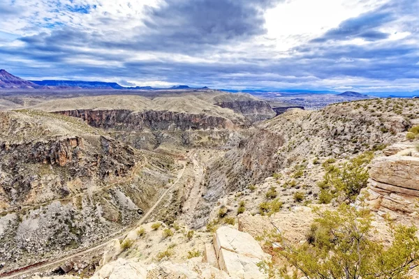
The desert landscape of Southern Utah near La Verkin where the Virgin River Canyon cuts through the landscape.
Southern Utah Desert — Stock Photo, Image
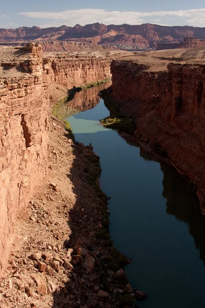
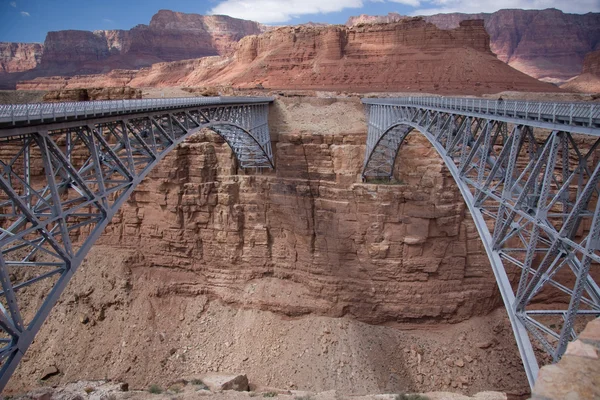
A view of the Grand Canyon and the Colorado River from Navajo Bridge in Northern Arizona.
Colorado River at the Bottom of the Grand Canyon — Stock Photo, Image
Colorado River at Lees Ferry Crossing is also mile zero of the Grand Canyon rafting voyage.
Colorado River at Lees Ferry Crossing — Stock Photo, Image
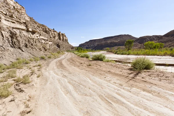
Driving the Cottonwood Canyon Road in Grand Staircase Escalante National Park, Utah
Desert offroad of the Cottonwood Canyon Road — Stock Photo, Image
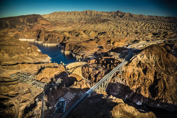
Aerial view of a hydroelectric plant by the Hoover Dam and large Bridge
Hoover Dam and Bridge — Stock Photo, Image
Person admiring the desert landscape of Southern Utah near La Verkin where the Virgin River Canyon cuts through the landscape.
Southern Utah Desert — Stock Photo, Image
A view of Big Bend from the top of the cliffs of Zion National Park at Scout's Lookout near Angels Landing.
View Big Bend Top Cliffs Zion National Park Scout Lookout — Stock Photo, Image
These two bridges, one historic and one new, represent one of only seven land crossings of the Colorado River for 750 miles (1207 km).
Navajo Bridge — Stock Photo, Image
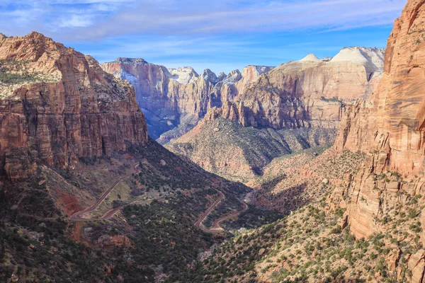
The Canyon Overlook Trail at Zion National Park offers an extraordinary view of Zion Canyon below, where you can see the road wind through the canyon, and the steep canyon walls far in the distance.
Zion Canyon Overlook — Stock Photo, Image
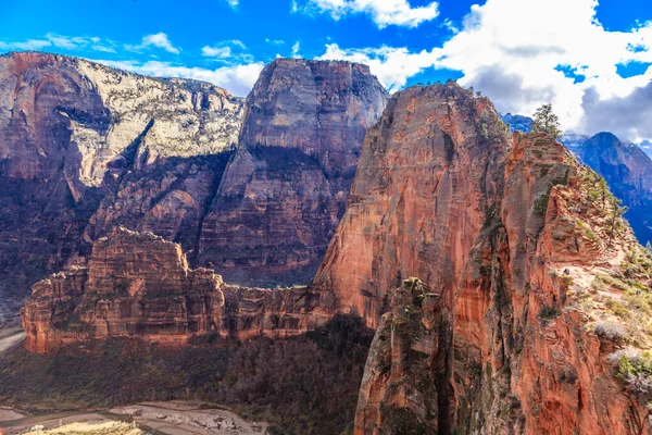
Angels Landing is a 1,488-foot tall rock formation in Zion National Park in southern Utah. The trail leading to the top is one of the most popular hikes in the park.
Angels Landing 488 Foot Tall Rock Formation Zion National Park — Stock Photo, Image
View from Dante's Peak overlooking Badwater Basin in Death Valley National Park, USA. Shot with a Fish Eye lens.
Dante's Peak at Death Valley — Stock Photo, Image
Angels Landing is a 1,488-foot tall rock formation in Zion National Park in southern Utah. The trail leading to the top is one of the most popular hikes in the park.
Angels Landing 488 Foot Tall Rock Formation Zion National Park — Stock Photo, Image
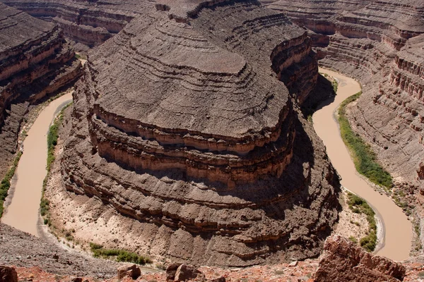
Goosenecks State Park is located near the southern border of the state of Utah in the western United States. It overlooks a deep meander of the San Juan River.
Goosenecks State Park — Stock Photo, Image

Usage Information

You can use this royalty-free photo "Colorado River at Lees Ferry Crossing" for personal and commercial purposes according to the Standard or Extended License. The Standard License covers most use cases, including advertising, UI designs, and product packaging, and allows up to 500,000 print copies. The Extended License permits all use cases under the Standard License with unlimited print rights and allows you to use the downloaded stock images for merchandise, product resale, or free distribution.

You can buy this stock photo and download it in high resolution up to 3888x2592. Upload Date: Mar 11, 2011