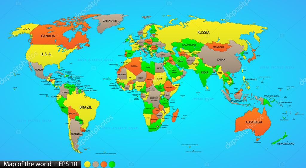
Political world map on ocean blue background, with every state labeled and selectable (labeled in Layers panel also). Versatile file, turn on an off visibility and color of each country in one click. — Stock Vector

Political world map on ocean blue background, with every state labeled and selectable (labeled in Layers panel also). Versatile file, turn on an off visibility and color of each country in one click. — Vector

Political world map on ocean blue background, with every state labeled and selectable (labeled in Layers panel also). Versatile file, turn on an off visibility and color of each country in one click.

 — Vector by Ivsanmas

Same Series:

Political world map on white background, with every state labeled and selectable (labeled in Layers panel also). Versatile file, turn on an off visibility and color of each country in one click.
Political world map on white background, with every state labeled and selectable (labeled in Layers panel also). Versatile file, turn on an off visibility and color of each country in one click. — Stock Vector
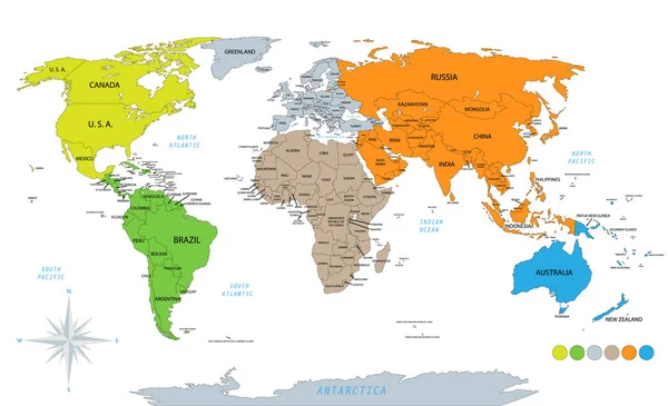
Political world map on white background, with every state labeled and selectable. Colored by continents. Versatile file, turn on an off visibility and color of each country in one click
Political World Map White Background Every State Labeled Selectable Colored — Stock Vector
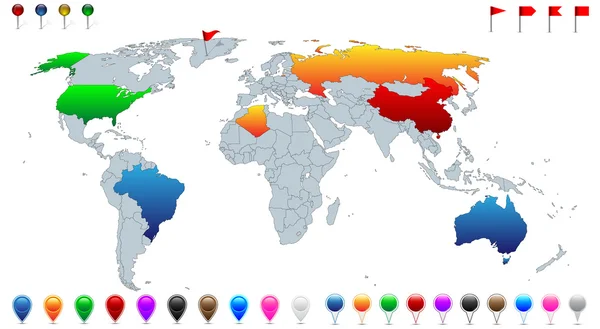
Detailed world map, with every recognized country selectable. Collection of colorful pins, pointers, flags and banners for location pinpoint.
Detailed world map, with every recognized country selectable. Collection of colorful pins, pointers, flags and banners for location pinpoint. — Stock Vector
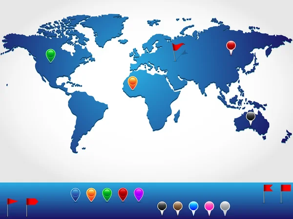
World map in slight 3d look and perspective, with colorful pins and banners for location pinpoint
World map in slight 3d look and perspective, with colorful pins and banners for location pinpoint — Stock Vector
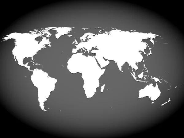
Very high detailed map of the world, with slight 3 D appearance, placed on gray ellipse background,vector
Very high detailed map of the world, with slight 3 D appearance, placed on gray ellipse background,vector — Stock Vector
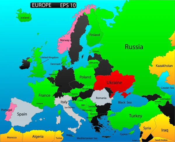
Political map of European continent. Versatile file, easy editable color and visibility of every state in one click in layers panel
Political map of European continent. Versatile file, easy editable color and visibility of every state in one click in layers panel — Stock Vector
Infographic world map, every country and continent selectable independently.
Infographic world map — Stock Vector
Countries flags with official currency symbols, North and Central America
Countries flags with official currency symbols, North and Central America — Stock Vector
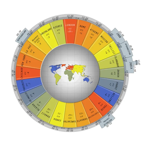
World map surrounded with colorful time zone tabs containing belonging cities or countries, displaying time info for 24 zones.
World map surrounded with colorful time zone tabs — Stock Vector
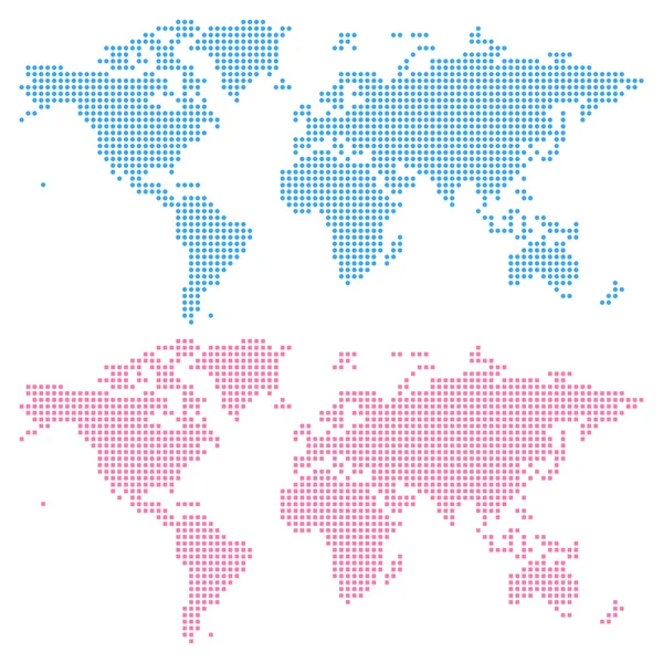
World map created from circles (upper) and squares (lower), not a pattern. Edit colors easy in one click.
World map created from circles (upper) and squares (lower) — Stock Vector
World map scribble outlines, black and white
World map scribble outlines, black and white — Stock Vector
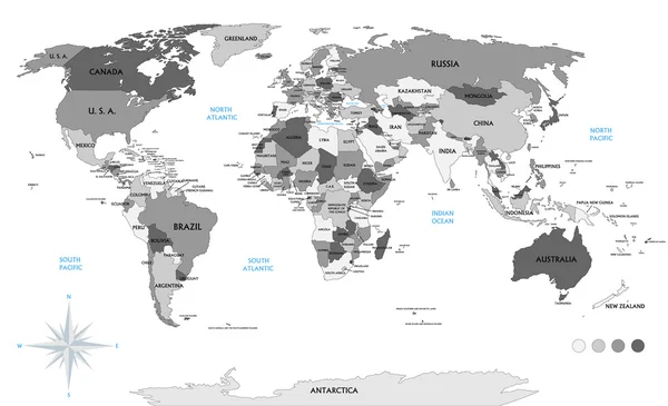
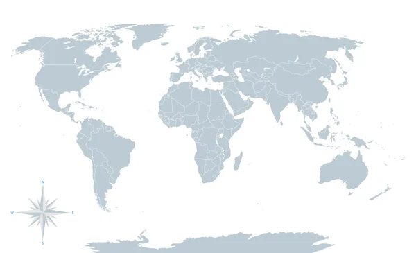
Political world map, grey, with white borders. Every state and continent labeled and selectable. Versatile file, turn on an off visibility and color of each country in one click.
Political world map, grey, with white borders. — Stock Vector
Map of the world isolated on blue
Map of the world isolated on blue — Stock Vector
Detailed location map of South America, very easy, fully editable, with instruction details in separate layer, vector
Detailed location map of South America, very easy, fully editable, with instruction details in separate layer, vector — Stock Vector
World map shape, filled with circles pattern
World map shape, filled with circles pattern — Stock Vector
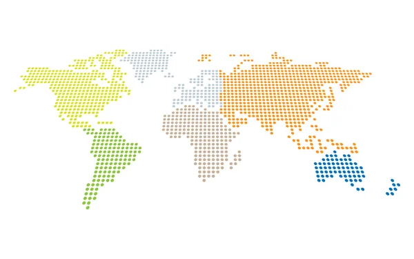
Dotted world map in perspective with separately selectable continents
Dotted world map — Stock Vector

Similar Stock Videos:

A world map and connection line all over the world
A growing network across the world — Stock Video
Animation of world map with individual countries
Animation of world map with individual countries — Stock Video
4k Global GPS data detect earth map military radar GPS navigation interface.
4k Global GPS data detect earth map military radar GPS navigation interface. — Stock Video
World drawing outline map green screen isolated
World Drawing Outline Map Green Screen Isolated — Stock Video
Gray background, 2 in 1, loop (151-450 frames), alpha matte, created in 4K, 3d animation
World Map Turns Into a Globe. A look inside — Stock Video
Animation of a social network diagram on a world map. Network connection from different parts of the world. The concept of cooperation, communication or connection. Alpha channel. 4K
Animation of a social network diagram on a world map. Network connection from different parts of the world. The concept of cooperation, communication or connection. Alpha channel. 4K — Stock Video
Gray background, 2 in 1, loop (151-450 frames), alpha matte, created in 4K, 3d animation
World Map Turns Into a Globe. A look inside — Stock Video
World map animation drawn with lines ( 4K | MP4 )
World Map Animation Drawn Lines Mp4 — Stock Video
Points appear on the world map. Outbreaks Epidemic, virus. Dissemination of knowledge, social networks, technologies. Black and white background. 4K.
Points Appear World Map Outbreaks Epidemic Virus Dissemination Knowledge Social — Stock Video
White background, 2 in 1, loop (151-450 frames), alpha matte, created in 4K, 3d animation
World Map Turns Into a Globe. A look inside — Stock Video
Gray background, 2 in 1, loop (151-450 frames), alpha matte, created in 4K, 3d animation
World Map Turns Into a Globe. A look inside — Stock Video
Drawing contours, borders of continents and islands, map planet earth. High quality 4k footage
Drawing contours, borders of continents and islands, map planet earth — Stock Video
Gray background, 2 in 1, loop (151-450 frames), alpha matte, created in 4K, 3d animation
World Map Turns Into a Globe. A look inside — Stock Video
The coronavirus is flooding world. Animation of epidemic situation with coronavirus (COVID-19, SARS-COV-2). Virus particle bounce on the world map from east to west. Pandemic concept, 3D render.
Coronavirus Flooding World Animation Epidemic Situation Coronavirus Covid Sars Cov — Stock Video
Animation of colourful world map on white background. global travel and connection concept digitally generated video.
Animation Colourful World Map White Background Global Travel Connection Concept — Stock Video
White background, 2 in 1, loop (151-450 frames), alpha matte, created in 4K, 3d animation
World Map Turns Into a Globe. A look inside — Stock Video
White background, 2 in 1, loop (151-450 frames), alpha matte, created in 4K, 3d animation
World Map Turns Into a Globe. A look inside — Stock Video
White background, 3 in 1, 3d animation
World Map Animation — Stock Video

Usage Information

You can use this royalty-free vector image "Political world map on ocean blue background, with every state labeled and selectable (labeled in Layers panel also). Versatile file, turn on an off visibility and color of each country in one click." for personal and commercial purposes according to the Standard or Extended License. The Standard License covers most use cases, including advertising, UI designs, and product packaging, and allows up to 500,000 print copies. The Extended License permits all use cases under the Standard License with unlimited print rights and allows you to use the downloaded vector files for merchandise, product resale, or free distribution.

This stock vector image is scalable to any size. You can buy and download it in high resolution up to 6656x3653. Upload Date: Aug 28, 2014