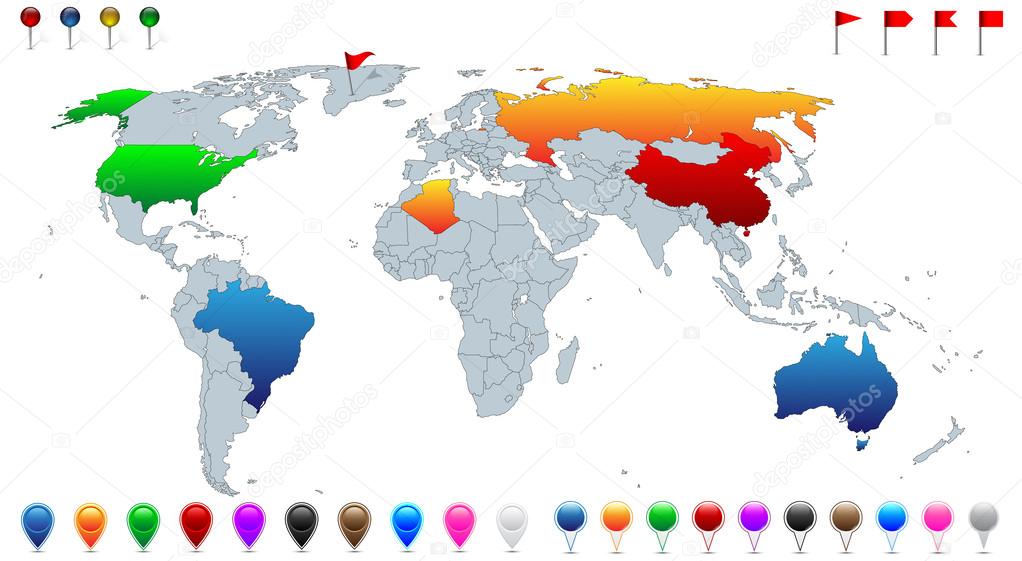
Detailed world map, with every recognized country selectable. Collection of colorful pins, pointers, flags and banners for location pinpoint. — Stock Vector

Detailed world map, with every recognized country selectable. Collection of colorful pins, pointers, flags and banners for location pinpoint. — Vector

Detailed world map, with every recognized country selectable. Collection of colorful pins, pointers, flags and banners for location pinpoint.

 — Vector by Ivsanmas

Same Series:

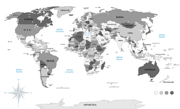
Political world map on white background, with every state labeled and selectable (labeled in Layers panel also). Versatile file, turn on an off visibility and color of each country in one click.
Political world map on white background, with every state labeled and selectable (labeled in Layers panel also). Versatile file, turn on an off visibility and color of each country in one click. — Stock Vector
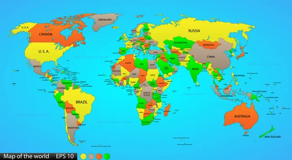
Political world map on ocean blue background, with every state labeled and selectable (labeled in Layers panel also). Versatile file, turn on an off visibility and color of each country in one click.
Political world map on ocean blue background, with every state labeled and selectable (labeled in Layers panel also). Versatile file, turn on an off visibility and color of each country in one click. — Stock Vector
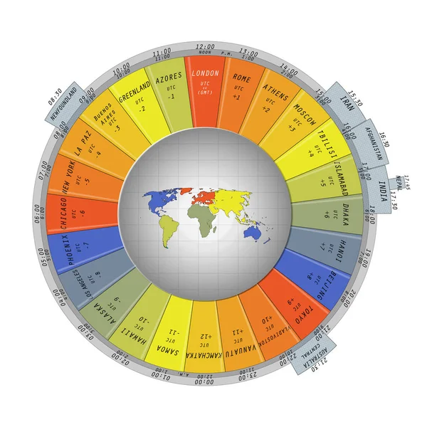
World map surrounded with colorful time zone tabs containing belonging cities or countries, displaying time info for 24 zones.
World map surrounded with colorful time zone tabs — Stock Vector
World map scribble outlines, black and white
World map scribble outlines, black and white — Stock Vector
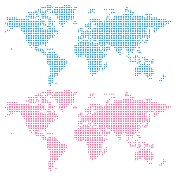
World map created from circles (upper) and squares (lower), not a pattern. Edit colors easy in one click.
World map created from circles (upper) and squares (lower) — Stock Vector
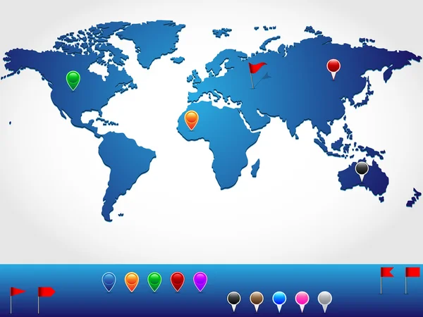
World map in slight 3d look and perspective, with colorful pins and banners for location pinpoint
World map in slight 3d look and perspective, with colorful pins and banners for location pinpoint — Stock Vector
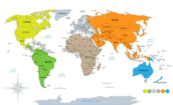
Political world map on white background, with every state labeled and selectable. Colored by continents. Versatile file, turn on an off visibility and color of each country in one click
Political World Map White Background Every State Labeled Selectable Colored — Stock Vector
Infographic world map, every country and continent selectable independently.
Infographic world map — Stock Vector
Countries flags with official currency symbols, Asia part 1
Countries flags with official currency symbols, Asia part 1 — Stock Vector
Detailed location map of South America, very easy, fully editable, with instruction details in separate layer, vector
Detailed location map of South America, very easy, fully editable, with instruction details in separate layer, vector — Stock Vector
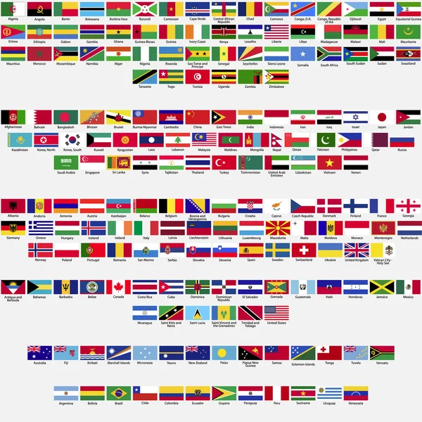
Flags of the world, all sovereign states recognized by UN, collection, listed alphabetically by continents, eps 10
Flags of the world, all sovereign states recognized by UN, collection, listed alphabetically by continents, eps 10 — Stock Vector
Countries flags with official currency symbols, North and Central America
Countries flags with official currency symbols, North and Central America — Stock Vector
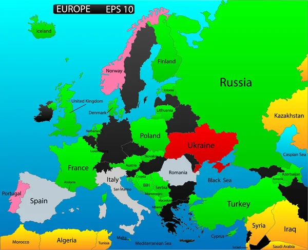
Political map of European continent. Versatile file, easy editable color and visibility of every state in one click in layers panel
Political map of European continent. Versatile file, easy editable color and visibility of every state in one click in layers panel — Stock Vector
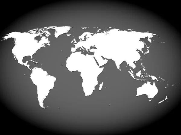
Very high detailed map of the world, with slight 3 D appearance, placed on gray ellipse background,vector
Very high detailed map of the world, with slight 3 D appearance, placed on gray ellipse background,vector — Stock Vector
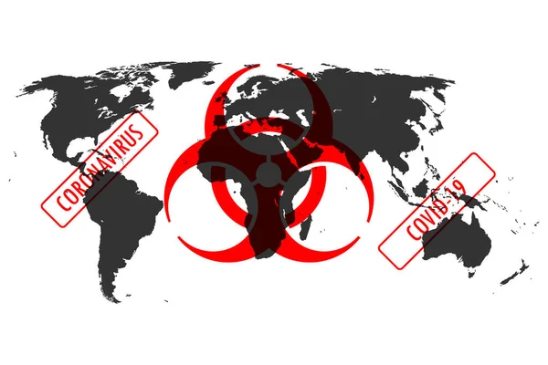
Illustration of Corona virus, Covid-19 related biohazard sign over the world map. Concept of the world in quarantine or in danger.
Illustration Corona Virus Covid Related Biohazard Sign World Map Concept — Stock Vector
Countries flags with official currency symbols, Asia part 2
Countries flags with official currency symbols, Asia part 2 — Stock Vector

Similar Stock Videos:

Different diagrams appearing on a white world map
Diagrams appearing on a white world map — Stock Video
Different diagrams appearing on a world map
Diagrams appearing on a world map — Stock Video
Ukraine wants peace, no war. World map on which hearts fly in the colors of the flag of Ukraine.
Ukraine Wants Peace War World Map Which Hearts Fly Colors — Stock Video
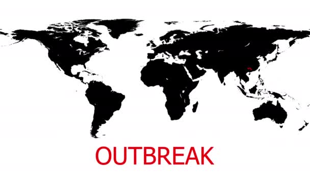
The outbreaks around the world of Covit 19 virus or Corona virus.
Outbreaks World Covit Virus Corona Virus — Stock Video
Animation of covid 19 cells over people silhouettes and world map. global covid 19 pandemic, medicine and healthcare concept digitally generated video.
Animation Covid Cells People Silhouettes World Map Global Covid Pandemic — Stock Video
World Map Abstract Point spread virus in the world Loop Animation Background. international Epidemic, COVID outbreak. Number of gadgets and computers infected with virus, Global Hacking Attack.
World Map Abstract Point spread virus in the world Loop Animation Background — Stock Video
Different diagrams appearing on a blue world map
Diagrams appearing on a blue world map — Stock Video
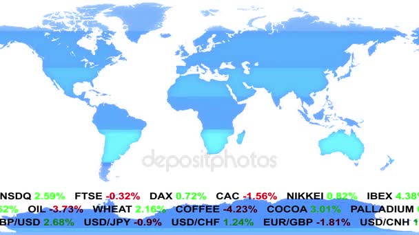
Forex stock market ticker news line and holographic earth map on background - new quality financial business animated dynamic motion video footage
Forex stock market ticker news line and holographic earth map on background - new quality financial business animated dynamic motion video footage — Stock Video
The coronavirus is flooding world. Animation of epidemic situation with coronavirus (COVID-19, SARS-COV-2). Virus particle bounce on the world map from east to west. Pandemic concept, 3D render.
Coronavirus Flooding World Animation Epidemic Situation Coronavirus Covid Sars Cov — Stock Video
Ferdinand Magellan. great geographical discoveries. trip around the world
The great travels the world - Ferdinand Magellan. — Stock Video
World map of airline airplane flight path. Travel around the world plane route. Motion Animation. Video available in 4K FullHD and HD render footage
World map of airline airplane flight path. Travel around the world plane route — Stock Video
Global connection on the world map, planes
Global connection on the world map — Stock Video
Digital animation of World map against blue shimmering background
World map against blue shimmering background — Stock Video
Animation on coronavirus spread on world map. Spreading begin from Wu Chan city, China region and virus particles are moving to another parts of world. Concept of pandemic situation. 3D render.
Animation Coronavirus Spread World Map Spreading Begin Chan City China — Stock Video
Computer generated motion graphic of modern communication systems traveling between cities around the globe
CG Motion Graphic of Global Communication Systems — Stock Video
Animation of network of connections over world map on black bacground. global connections, digital interface and networks concept digitally generated video.
Animation Network Connections World Map Black Bacground Global Connections Digital — Stock Video
Animation of a world map, continents turning red, showing Covid-19 Coronavirus spread. Global coronavirus Covid 19 pandemic concept digitally generated
Animation World Map Continents Turning Red Showing Covid Coronavirus Spread — Stock Video
Animation of data processing recording with blue and red world map showing global spread of Covid 19 coronavirus in the background.
Animation Data Processing Recording Blue Red World Map Showing Global — Stock Video

Usage Information

You can use this royalty-free vector image "Detailed world map, with every recognized country selectable. Collection of colorful pins, pointers, flags and banners for location pinpoint." for personal and commercial purposes according to the Standard or Extended License. The Standard License covers most use cases, including advertising, UI designs, and product packaging, and allows up to 500,000 print copies. The Extended License permits all use cases under the Standard License with unlimited print rights and allows you to use the downloaded vector files for merchandise, product resale, or free distribution.

This stock vector image is scalable to any size. You can buy and download it in high resolution up to 6554x3597. Upload Date: Aug 28, 2014