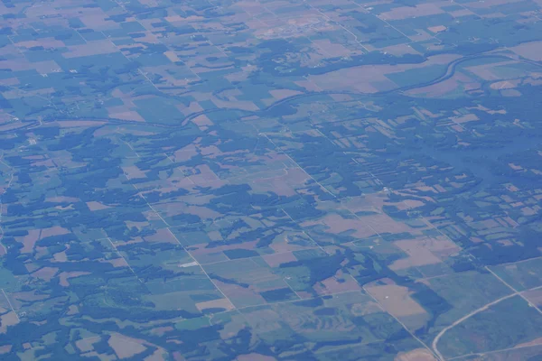
Aerial photograph of rural middle USA with river running though — Stock Photo, Image

Aerial photograph of rural middle USA with river running though — Photo

Aerial photograph of rural middle USA with river running though the center with houses, and roads seen from high above.

 — Photo by ericbvd

Same Series:

Aerial photograph of rural Eastern USA with fields, river, houses, and roads from high above.
Aerial photograph of rural Eastern USA — Stock Photo, Image
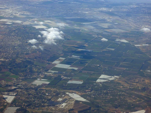
California fields of crops surrounded by suburbs, seen from above.
California fields of crops seen from above — Stock Photo, Image
Aerial view of salt evaporation ponds, bridge, airports, cities surrounding San Francisco Bay near San Jose, California, United States.
Aerial view of salt evaporation ponds, bridge, airports, cities — Stock Photo, Image
California Farm Landscape with small hills seen from the sky.
California Farm Landscape seen from the sky — Stock Photo, Image
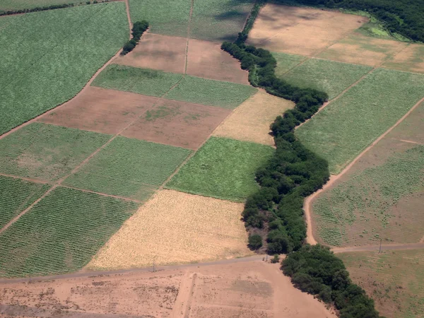
Aerial of Sugar Cane fields of different stages of age on Maui, Hawaii.
Aerial of Sugar Cane fields of different stages of age — Stock Photo, Image
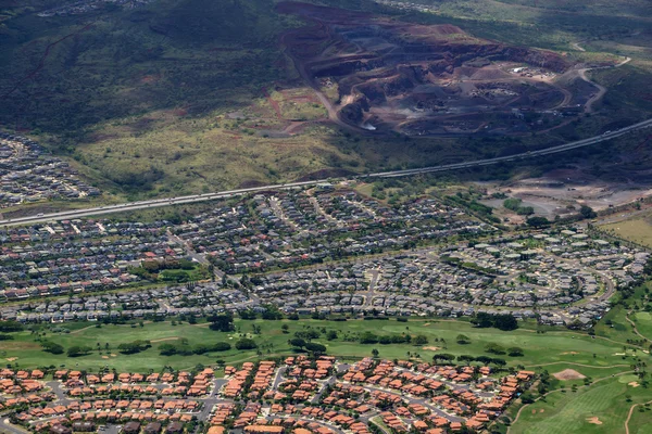
Aerial of Highway, Kapolei homes, golf course, and quarry on the west side Oahu, Hawaii on a beautiful day.
Aerial of Highway,  Kapolei homes, golf course, and quarry on Oa — Stock Photo, Image
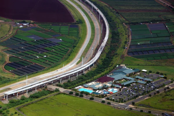
Aerial HART Rail system under construction, Highway, and Knoc Center next to each other in Kapolei city on Oahu, Hawaii.
Aerial HART Rail system under construction and Highway next to e — Stock Photo, Image
Aerial of Kapolei Golf Course on Oahu, Hawaii.
Aerial of Kapolei Golf Course — Stock Photo, Image
Aerial HART Rail system under construction and Highway next to each other in Kapolei city on Oahu, Hawaii.
Aerial HART Rail system under construction and Highway next to e — Stock Photo, Image
Aerial view of Landmark University of Hawaii Baseball Les Murakami Stadium, Stan Sheriff Center, and college campus in Manoa with H-1 Highway and Surrounding town community Honolulu, Hawaii June 13, 2014.
Aerial view of Landmark University of Hawaii Baseball Les Muraka — Stock Photo, Image
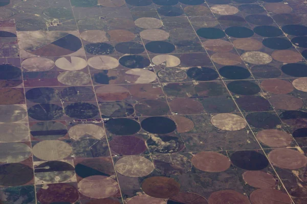
High aerial view of the crop circles created in farm fields by center pivot sprinklers and roads in USA.
High aerial view of the crop circles created in farm fields by c — Stock Photo, Image
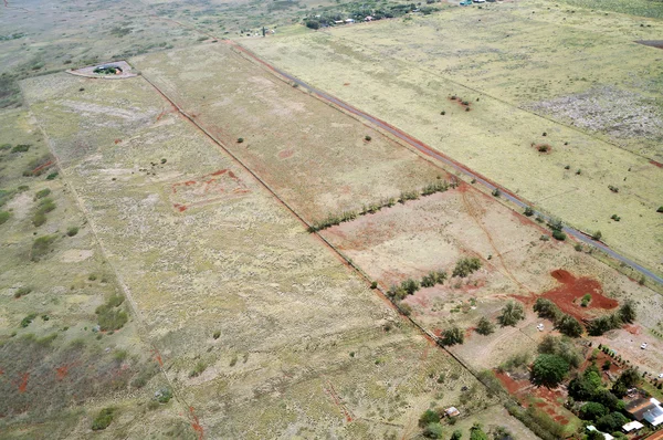
Aerial of empty dry crops fields in Maui, Hawaii.
Aerial Empty Dry Crops Fields Maui Hawaii — Stock Photo, Image
Aerial view of Waimanalo Beach, Homes, bay. Highway, and Pacific Ocean on Oahu, Hawaii.
Aerial view of Waimanalo Beach — Stock Photo, Image
Aerial view of Kahala, Beach and Pacific ocean on Oahu, Hawaii. April 2016.
Aerial view of Kahala, Beach and Pacific ocean — Stock Photo, Image
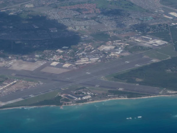
Aerial of Kalaeloa Airport on the coast of Oahu in the state of Hawaii. Kalaeloa Airport, also called John Rodgers Field and formerly Naval Air Station Barbers Point, is a joint civil-military regional airport of the State of Hawaii.
Aerial Kalaeloa Airport Coast Oahu State Hawaii Kalaeloa Airport Also — Stock Photo, Image
Aerial of Farm fields of different stages of age and homes on Molokai, Hawaii. April 2016.
Aerial of Farm fields of different stages of age and homes on Mo — Stock Photo, Image

Usage Information

You can use this royalty-free photo "Aerial photograph of rural middle USA with river running though" for personal and commercial purposes according to the Standard or Extended License. The Standard License covers most use cases, including advertising, UI designs, and product packaging, and allows up to 500,000 print copies. The Extended License permits all use cases under the Standard License with unlimited print rights and allows you to use the downloaded stock images for merchandise, product resale, or free distribution.

You can buy this stock photo and download it in high resolution up to 6000x4000. Upload Date: Aug 30, 2014