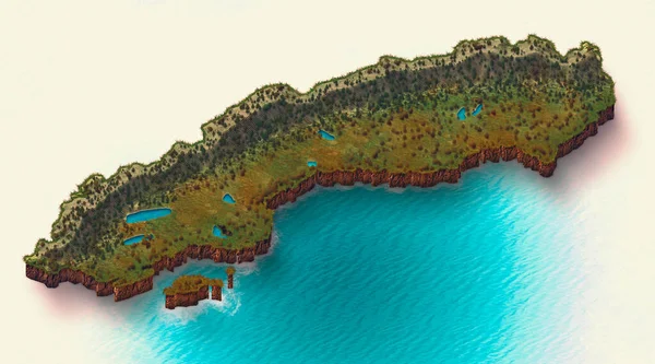
St. Barts island satellite view map — Stock Photo, Image

St. Barts island satellite view map — Photo

3d section of St. Barts island satellite view map. Element of this image are furnished by NASA

 — Photo by vampy1

Same Series:

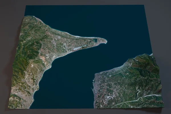
Strait of Messina, satellite view, Sicily and Calabria, Italy. Element of this image are furnished by NASA
Strait of Messina, satellite view, Sicily and Calabria, Italy — Stock Photo, Image
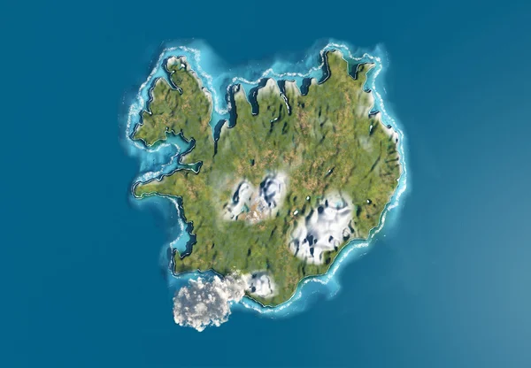
An aerial view of the Iceland
Iceland and volcano — Stock Photo, Image
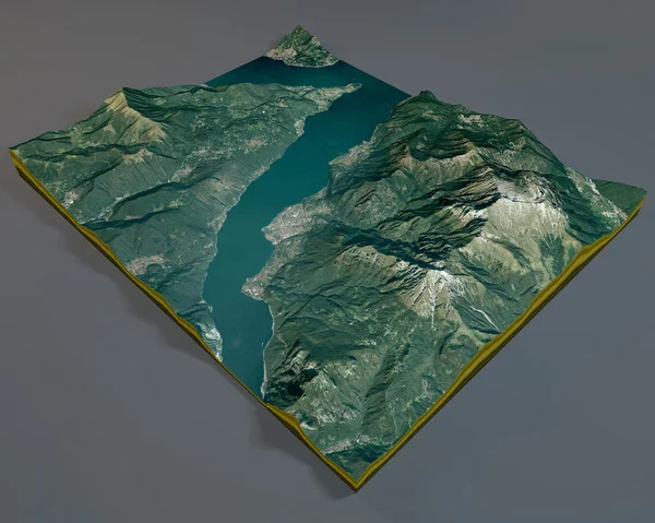
Grigna monte, satellite view, Lecco lake, aerial view, Alps, Italy. Element of this image are furnished by NASA
Grigna monte, satellite view — Stock Photo, Image
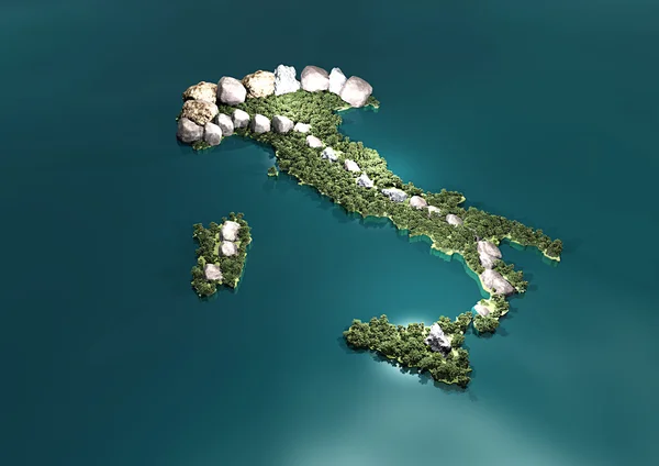
Italy 3d physical map
Italy 3d physical map — Stock Photo, Image
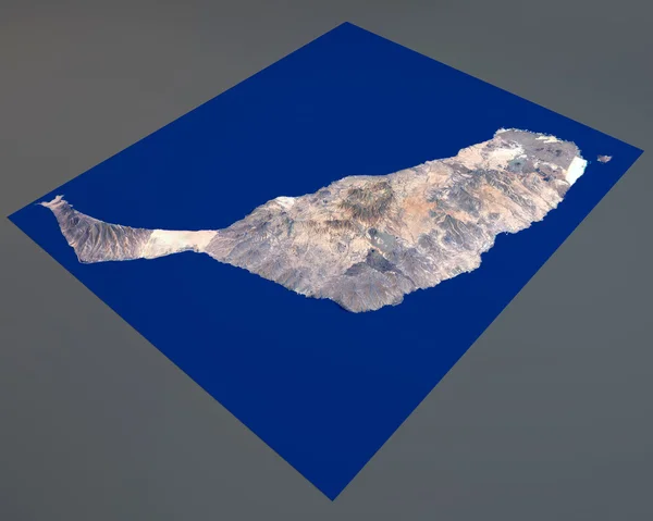
Fuerteventura island, satellite view, Canary Islands, Spain. 3d rendering. Element of this image are furnished by NASA
Fuerteventura island, satellite view, Canary Islands, Spain. 3d rendering — Stock Photo, Image
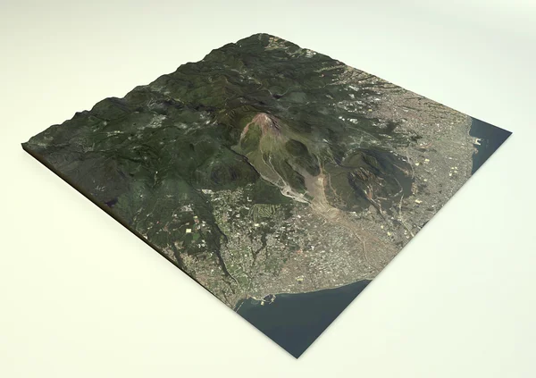
Volcano Mount Unzen satellite view, Shimabara, Nagasaki Prefecture, Japan. Element of this image are furnished by NASA
Volcano Mount Unzen satellite view — Stock Photo, Image
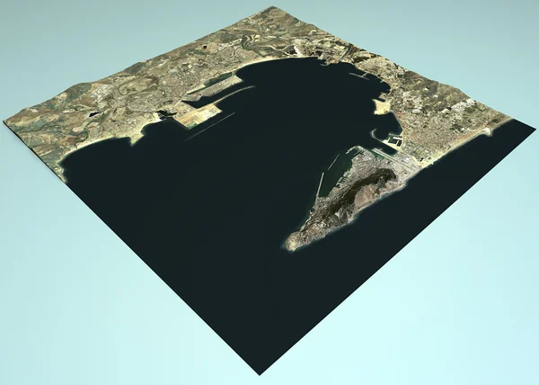
Satellite view of Gibraltar country maps on blue background. Element of this image are furnished by NASA
Satellite view of Gibraltar — Stock Photo, Image
Satellite view of Bellagio map, Lake, Como, Lecco, Italy. Element of this image are furnished by NASA
Satellite view of Bellagio map — Stock Photo, Image
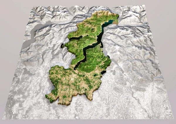
Satellite view of the Como province, Lombardia region. Italy. 3d rendering. Physical map, plains, mountains, lakes, mountain range. Element of this image is furnished by Nasa
Satellite View Como Province Lombardia Region Italy Rendering Physical Map — Stock Photo, Image
Satellite view of Sweden illustrated map including nature parks and lakes, vacations. Cutaway 3d effect of the terrain. 3d render
Satellite View Sweden Illustrated Map Including Nature Parks Lakes Vacations — Stock Photo, Image
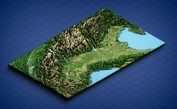
Italian Alpine Arch and Northern Italy, satellite view. Aerial view of the north of the peninsula. Mountains, lakes and plains. Physical map. 3d render.
Italian Alpine Arch Northern Italy Satellite View Aerial View North — Stock Photo, Image
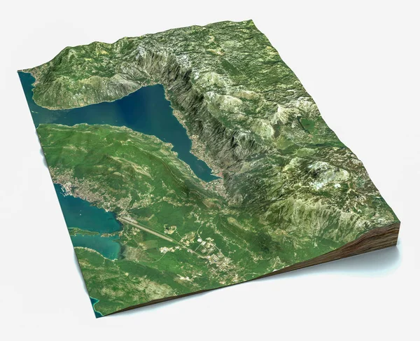
Satellite view of the largest fjord in the Mediterranean. The Bay of Kotor, Boka. It is surrounded by Dinaric Alps: the Orjen and the Lovcen mountains. 3d render. Section of the fjord. Map
Satellite View Largest Fjord Mediterranean Bay Kotor Boka Surrounded Dinaric — Stock Photo, Image
Satellite view of the Canazei, Italy. Elements of this image are furnished by NASA
Satellite view of Canazei — Stock Photo, Image
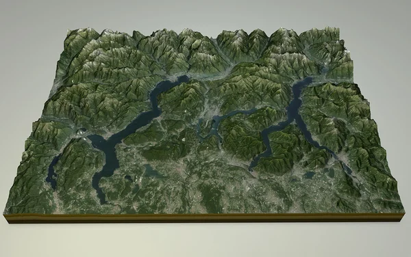
Satellite View of Lake Maggiore, Como and Lecco, reliefs, Italy. 3d view of the Alps. Element of this images are furnished by NASA
Satellite View of  Lake Maggiore, Como and Lecco, reliefs, Italy — Stock Photo, Image
Satellite View of Lake Maggiore, Como and Lecco, reliefs, Italy. 3d view of the Alps. Element of this images are furnished by NASA
Satellite View of  Lake Maggiore, Como and Lecco, reliefs, Italy — Stock Photo, Image
Aerial, satellite view of Fuerteventura, Canary Islands, Spain. Cofete Beach, South of the island. Punta Jandia. Playa de los Ojos. Morro Jable. 3d render. Element of this image is furnished by NASA
Aerial Satellite View Fuerteventura Canary Islands Spain Cofete Beach South — Stock Photo, Image

Usage Information

You can use this royalty-free photo "St. Barts island satellite view map" for personal and commercial purposes according to the Standard or Extended License. The Standard License covers most use cases, including advertising, UI designs, and product packaging, and allows up to 500,000 print copies. The Extended License permits all use cases under the Standard License with unlimited print rights and allows you to use the downloaded stock images for merchandise, product resale, or free distribution.

You can buy this stock photo and download it in high resolution up to 4724x3333. Upload Date: Apr 25, 2015