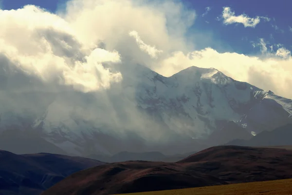
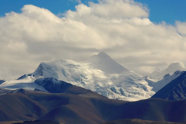
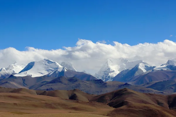
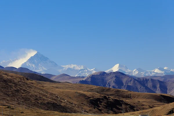
View to the S.of Karo-La mountain pass. Tibet. 1555 — Stock Photo, Image

View to the S.of Karo-La mountain pass. Tibet. 1555 — Photo

Himalayas mountains seen towards the South from the 5036 ms.high Karo La-mountain pass in the Lhagoi Kangri range of the Himalayas. Lhoka or Shannan pref.-Tibet.

 — Photo by rweisswald

Same Series:

Clouds cover mounts Shisha Pangma-Gosainthan-Crest above the grassy plains 8013 ms.+Yebokangal Ri 7365 ms.to the right. From Tong La pass at 5120 ms.-Friendship Highway between Tingri and Nyalam-Tibet
Shisha Pangma peak behind clouds. Himalayas-Tibet. 1990 — Stock Photo, Image
Extreme NE.of Lapche or Labuche Kang Himal section-Himalayas-peaks ranging L.to R.from 6850 ms.to 6030 ms. From Tong La pass 5120 ms.-Friendship Highway between Tingri and Nyalam-Nyalam county-Tibet.
Peaks at the N.E.of Lapche Kang massif-Tibet. 1969 — Stock Photo, Image
Clouds cover mounts Shisha Pangma-Gosainthan-Crest above the grassy plains 8013 ms.+Yebokangal Ri 7365 ms.to the right. From Tong La pass at 5120 ms.-Friendship Highway between Tingri and Nyalam-Tibet
Shisha Pangma and surrounding peaks under the clouds. Himalayas-Tibet. 1991 — Stock Photo, Image
Clouds cover mounts Shisha Pangma-Gosainthan-Crest above the grassy plains 8013 ms.+Yebokangal Ri 7365 ms.to the right. From Tong La pass at 5120 ms.-Friendship Highway between Tingri and Nyalam-Tibet
Shisha Pangma peak behind the clouds. Himalayas-Tibet. 1977 — Stock Photo, Image
Extreme W.of Lapche or Labuche Kang Himal section-Himalayas-unnominated peak at 6585 ms. From Tong La pass 5120 ms.-Friendship Highway between Tingri and Nyalam-Nyalam county-Tibet.
Peaks at the W.end of Lapche Kang massif-Tibet. 1970 — Stock Photo, Image
Togolung mount at 6773 ms.-left- and the 7206 ms.high Nojin Kangsang mount and glacier -right- seen towards the North from the 5036 ms.high Karo-La pass in the Himalayan Lhagoi Kangri range. Tibet.
Mounts Togolung-Nojin Kangsang from Karo-La. Tibet. 1561 — Stock Photo, Image
Himalayas-Lapche or Labuche Kang Himal. L.to R. Colangma 6952 ms.+Gyao Kang 6720 ms.+P.6850 I+P.6850 II. From Tong La pass 5120 ms.-Friendship Hway.between Tingri and Nyalam towns-Nyalam county-Tibet
Peaks at W.side of Lapche or Labuche Kang massif-Tibet. 1967 — Stock Photo, Image
Extreme W.of Lapche or Labuche Kang Himal section-Himalayas-peaks ranging L.to R.from 6850 ms.to 6030 ms. From Tong La pass 5120 ms.-Friendship Highway between Tingri and Nyalam-Nyalam county-Tibet.
Peaks at the W.end of Lapche Kang massif-Tibet. 1960 — Stock Photo, Image
Clouds cover mounts Shisha Pangma-Gosainthan-Crest above the grassy plains 8013 ms.+Yebokangal Ri 7365 ms.to the right. From Tong La pass at 5120 ms.-Friendship Highway between Tingri and Nyalam-Tibet
Shisha Pangma peak behind the clouds. Himalayas-Tibet. 1957 — Stock Photo, Image
The 7937 ms.Annapurna II and the 6932 ms.Lamjung Himal at sunset seem from Dhampus village on the Annapurnas Tour trekking route through the foothills of the Himalayas. Kaski district-Gandaki zone-Nepal.
Mts.Annapurna II and Lamjung Himal. Dhampus-Nepal. 0536 — Stock Photo, Image
L.to R. Lhotse 8516ms. Chomolungma-Holy Mother-Everest 8844 ms. Nuptse W.Peak 7861 ms. Changtse N.Peak 7543 ms. Khumbutse 6665 ms. Lingtren 6714 ms. All seen from Friendship Highway km.5115. Tibet.
Mount Everest and other Himalayan peaks. Tibet. 1920 — Stock Photo, Image
Peaks-extreme NE.of Lapche or Labuche Himal section-high Himalayas-altitudes ranging R.to L.from 7080 to 6350 ms. From Tong La pass at 5120 ms.-Friendship Highway between Tingri and Nyalam towns-Tibet
Peaks at the NE.end of Lapche Himal section. Himalayas-Tibet. 1964 — Stock Photo, Image
Himalayas airview. Peaks -L.to R.- Cho Oyu 8201 ms.-Ngozumpa Kang I-II 7916-7743-7681 ms.-Gyachung Kang 7952 ms.-Nuptse 7861 ms.from plane on flight Kathmandu-Lhasa. Nepal-Tibet A.R.-China.
Cho Oyu-Ngozumpa Kang I II III-Gyachung Kang-Nuptse airview. Nepal. 1120 — Stock Photo, Image
The 6773 ms.high Togolung mount -left- and the 7206 ms.high Nojin Kangsang mount and glacier -right- seen towards the North from the 5036 ms.high Karo-La pass in the Himalayan Lhagoi Kangri range. Tibet.
Mounts Togolung and Nojin Kangsang. Karo-La Tibet. 1556 — Stock Photo, Image
L.to R.: Ngozumpa Kang III 7681 ms. Ngozumpa Kang II 7743 ms. Ngozumpa Kang I 7916 ms. Cho Oyu-Turquoise Goddess 8201 ms.as seen from the tibetan plateau Tingri-Lawn mountain town at 4348 ms. Tibet.
Mount Everest and several Himalayan peaks, Tibet. 1915 — Stock Photo, Image
L.to R. Lhotse 8516ms. Chomolungma-Holy Mother-Everest 8844 ms. Nuptse W.Peak 7861 ms. Changtse N.Peak 7543 ms. Khumbutse 6665 ms. Lingtren 6714 ms. All seen from Friendship Highway km.5115. Tibet.
Mount Everest and several Himalayan peaks. Tibet. 1917 — Stock Photo, Image

Usage Information

You can use this royalty-free photo "View to the S.of Karo-La mountain pass. Tibet. 1555" for personal and commercial purposes according to the Standard or Extended License. The Standard License covers most use cases, including advertising, UI designs, and product packaging, and allows up to 500,000 print copies. The Extended License permits all use cases under the Standard License with unlimited print rights and allows you to use the downloaded stock images for merchandise, product resale, or free distribution.

You can buy this stock photo and download it in high resolution up to 4500x3000. Upload Date: Jun 27, 2015