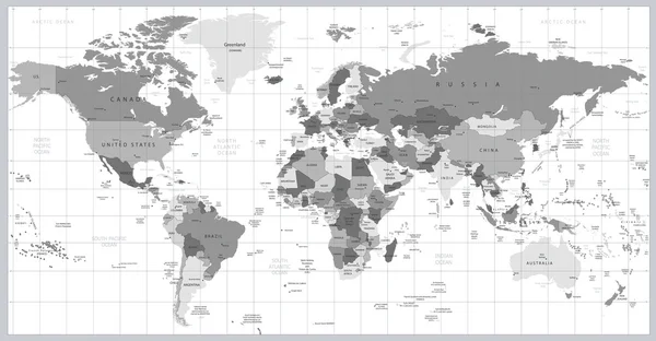
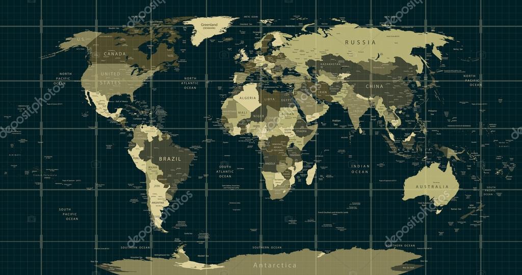
Detailed World Map in camouflage colors with a square grid — Stock Vector

Detailed World Map in camouflage colors with a square grid — Vector

Detailed World Map in camouflage colors with a square grid,country and city names.

 — Vector by Livenart

Same Series:

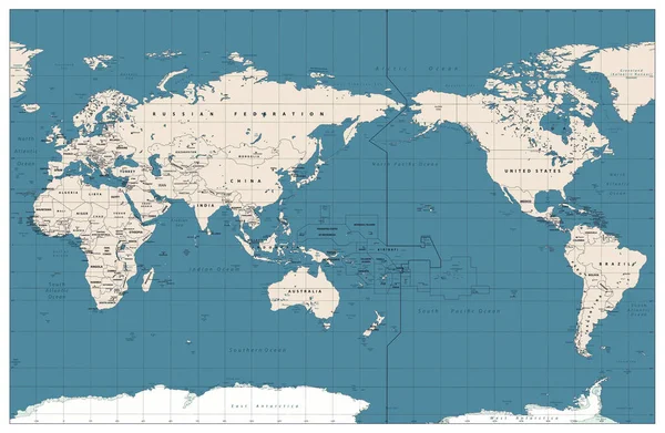
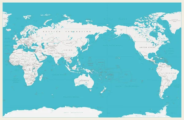
Pacific Centered World Map Vintage Color. Countries and capitals, cities, borders and water objects, state outline. Detailed World Map vector illustration.
Pacific Centered World Map Vintage Color Countries Capitals Cities Borders — Stock Vector
World map continents in colors of blue. America in center. Highly detailed vector illustration of World Map with America in center.
World map continents in colors of blue. America in center — Stock Vector
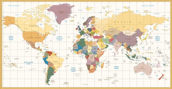
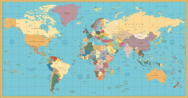
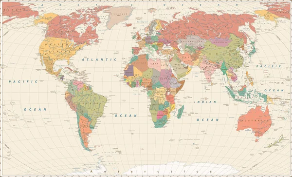
Vintage color political World Map.All elements are separated in editable layers clearly labeled.
Vintage color political World Map — Stock Vector
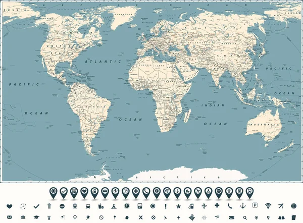
Retro World Map Main State Roads and Markers. Large Detailed World Map vector illustration.
Retro World Map Main State Roads Markers Large Detailed World — Stock Vector
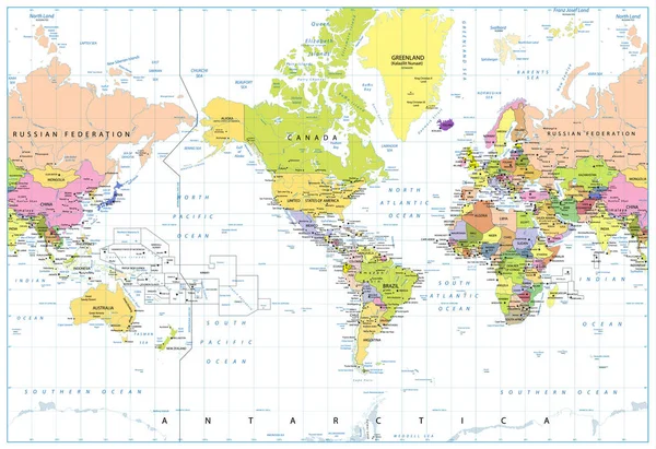
World Map - Political - American View - America in Center - Green Colors. Vector Detailed illustration of World Map.
World Map Political American View America Center Green Colors Vector — Stock Vector
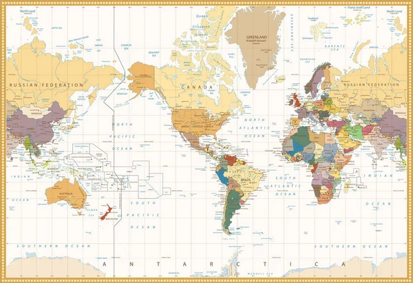
Vintage Color Map America Centered Political World Map. Highly detailed vector illustration of World Map.
Vintage Color Map America Centered Political World Map — Stock Vector
Grayscale World map detailed vector illustration. Names, town marks and national borders are in separate layers.
Grayscale World map detailed vector illustration — Stock Vector
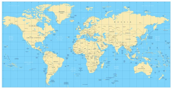
Highly detailed world map: countries, cities, water objects. All elements are separated in editable layers clearly labeled.
Highly detailed world map: countries, cities, water objects — Stock Vector
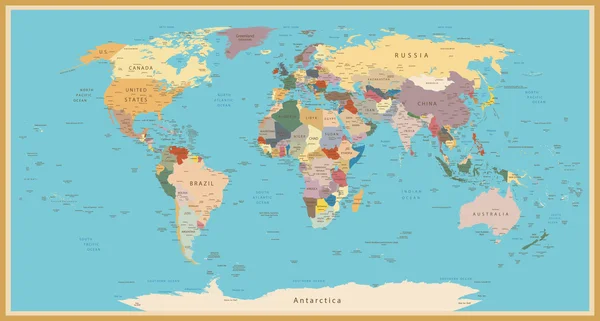
Highly detailed World Map with vintage color.
VINTAGE WORLD MAP — Stock Vector
Retro color political World Map.All elements are separated in editable layers clearly labeled.
Retro color political World Map — Stock Vector
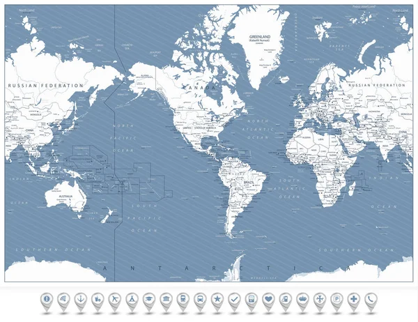
America Centered World Map and 3D navigation icons. Highly detailed vector illustration of World Map with America in center.
America Centered World Map and 3D navigation icons — Stock Vector
Vintage World Map. Large Detailed World Map vector illustration.
Vintage World Map Large Detailed World Map Vector Illustration — Stock Vector
World Map Pacific Centered. Old colors, borders, countries and cities. Detailed World Map vector illustration
World Map Pacific Centered Old Colors Borders Countries Cities Detailed — Stock Vector
World Map, Globes and Navigation Icons. America in center. Highly detailed vector illustration of World Map with America in center.
World Map, Globes and Navigation Icons. America in center — Stock Vector
Vintage World Map. Large Detailed World Map vector illustration.
Vintage World Map Large Detailed World Map Vector Illustration — Stock Vector
America Centered Political World Map isolated on white. Highly detailed vector illustration of World Map.
America Centered Political World Map isolated on white — Stock Vector

Similar Stock Videos:

Animation of a world map, continents turning red, showing Covid-19 Coronavirus spread. Global coronavirus Covid 19 pandemic concept digitally generated
Animation World Map Continents Turning Red Showing Covid Coronavirus Spread — Stock Video
Animation of numbers changing and data processing with world map. global data processing and digital interface concept digitally generated video.
Animation Numbers Changing Data Processing World Map Global Data Processing — Stock Video
Animation of a world map, continents turning red, showing Covid-19 Coronavirus spread. Global coronavirus Covid 19 pandemic concept digitally generated
Animation World Map Continents Turning Red Showing Covid Coronavirus Spread — Stock Video
4k Global GPS data detect earth map military radar GPS navigation interface.
4k Global GPS data detect earth map military radar GPS navigation interface. — Stock Video
Animation of data processing over hacker with computer. online security, cyber crime and data processing concept digitally generated video.
Animation Data Processing Hacker Computer Online Security Cyber Crime Data — Stock Video
Animation of a world map, continents turning red, showing Covid-19 Coronavirus spread. Global coronavirus Covid 19 pandemic concept digitally generated
Animation World Map Continents Turning Red Showing Covid Coronavirus Spread — Stock Video
CG projection of worldwide networking map
CG motion of worldwide networking map — Stock Video
Stylized electrocardiogram on a background of a world map with the naming of the covid-19 virus, the concept of a global pandemic.
Stylized electrocardiogram on a background of a world map with the naming of the covid-19 virus, the concept of a global pandemic — Stock Video
4k Global GPS data detect earth map military radar GPS navigation interface.
4k Global GPS data detect earth map military radar GPS navigation interface. — Stock Video
Loop-ready white world map outline with water reflection
Loopable world map outline with water reflection — Stock Video
Animation of the spread of a virus or infection from Africa to other continents. The spread of viruses around the world in a short video.
Animation Spread Virus Infection Africa Other Continents Spread Viruses World — Stock Video
Corona virus COVID-19 World map , Chinese virus infection with Black pointers, concept ,3D rendering. 4k Resolution
Corona Virus Covid World Map Chinese Virus Infection Black Pointers — Stock Video
Yellow biohazard signs appear on a gray world map with a red pulsating animation of the spread of danger across different territories of states. Epidemic, war, nodes, blockchain. Worldwide earth map
Biohazard warning on a world map background. On the world map shows the increase of viruses around the world. Corona virus COVID-19, Chinese virus infection with red pointer, 4k Resolution. 3d scene — Stock Video
Animation of a world map, continents turning red, showing Covid-19 Coronavirus spread. Global coronavirus Covid 19 pandemic concept digitally generated
Animation World Map Continents Turning Red Showing Covid Coronavirus Spread — Stock Video
Planet earth connect
Planet earth connect — Stock Video
Animation of a blue world map with blue numbers rising going up and down on black background. Global economy stock market concept digital composition
Animation Blue World Map Blue Numbers Rising Going Black Background — Stock Video
Animation of data processing recording with blue and red world map showing global spread of Covid 19 coronavirus in the background.
Animation Data Processing Recording Blue Red World Map Showing Global — Stock Video

Usage Information

You can use this royalty-free vector image "Detailed World Map in camouflage colors with a square grid" for personal and commercial purposes according to the Standard or Extended License. The Standard License covers most use cases, including advertising, UI designs, and product packaging, and allows up to 500,000 print copies. The Extended License permits all use cases under the Standard License with unlimited print rights and allows you to use the downloaded vector files for merchandise, product resale, or free distribution.

This stock vector image is scalable to any size. You can buy and download it in high resolution up to 5732x3018. Upload Date: Sep 8, 2015