London and its environs vintage engraving — Stock Vector

London and its environs vintage engraving — Vector

London and its environs, during the 1890s, vintage engraving. Old engraved illustration of London map with its environs.

 — Vector by Morphart

Same Series:

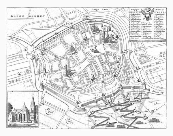
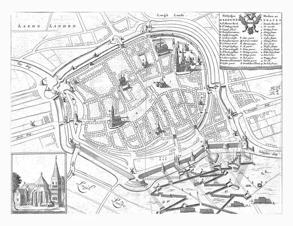
Map of the city of Groningen during the siege of 1594, Jan Luyken, 1681 Bird's-eye view of Groningen during the siege by the State army under Maurits in 1594.
Map City Groningen Siege 1594 Jan Luyken 1681 Bird Eye — Stock Photo, Image
Map of the city of Groningen during the siege of 1594, Jan Luyken, 1681 Bird's-eye view of Groningen during the siege by the State army under Maurits in 1594.
Map City Groningen Siege 1594 Jan Luyken 1681 Bird Eye — Stock Photo, Image
Journey of the State army under Prince Maurits to Ostend, 19-27 June 1600. The State fleet near Philippine, on the right the army advances through Flanders, at the bottom of Sluis.
Journey State Army Prince Maurits Ostend June 1600 State Fleet — Stock Photo, Image
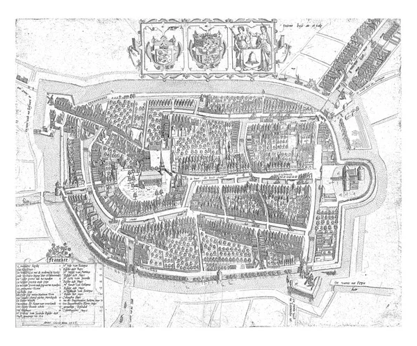
Franeker in a nutshell. In the center above the map a cartouche with the coats of arms of Friesland, the Frisian stadholder and Franeker. Below left a legend of 1-23.
Franeker Nutshell Center Map Cartouche Coats Arms Friesland Frisian Stadholder — Stock Photo, Image
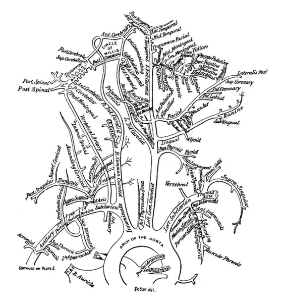
The Arteries of the Lower Limb is shown in the figure its function is to supply blood to the lower section of the body, vintage line drawing or engraving illustration.
Arteries Lower Limb Shown Figure Its Function Supply Blood Lower — Stock Vector
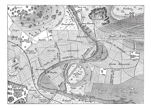
Topographical Map, vintage engraved illustration. Dictionary of Words and Things - Larive and Fleury - 1895
Topographical Map, vintage engraving — Stock Vector
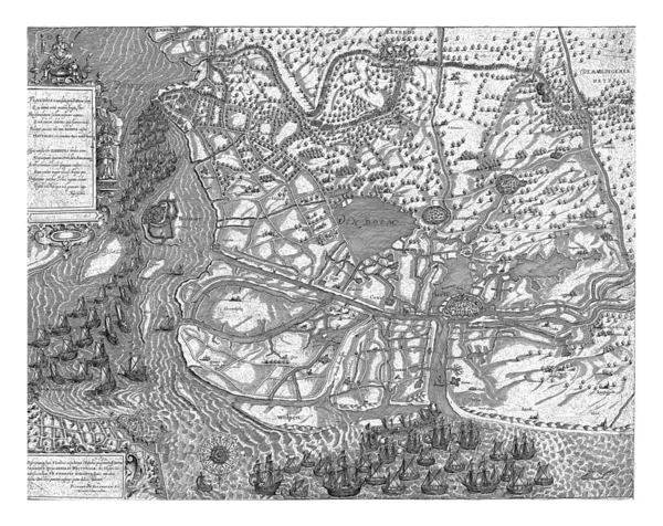
Map of Den Bosch and surroundings during the siege by the State army under Frederik Hendrik, vintage engraving.
Map Den Bosch Surroundings Siege State Army Frederik Hendrik Vintage — Stock Photo, Image
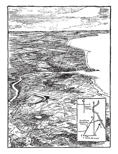
This illustration represents Aeroplane Flying Over Plane, vintage line drawing or engraving illustration.
Illustration Represents Aeroplane Flying Plane Vintage Line Drawing Engraving Illustration — Stock Vector
Map of the city of Goes. Two angels hold the coat of arms of the city of Goes. Next to it a banderole with the name of the city.
Map City Goes Two Angels Hold Coat Arms City Goes — Stock Photo, Image
Map showing Fort Nassau, 1636-1644, Jan van Brosterhuyzen, after Frans Jansz Post, 1645 - 1647 Map showing the location of Fort Nassau, 1636-1644, vintage engraving.
Map Showing Fort Nassau 1636 1644 Jan Van Brosterhuyzen Frans — Stock Photo, Image
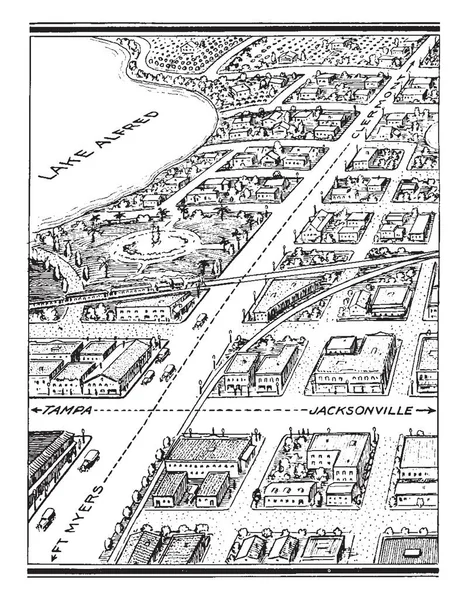
City is a large human settlement and generally have extensive systems for housing transportation sanitation utilities land use and communication, vintage line drawing or engraving illustration.
City Large Human Settlement Generally Have Extensive Systems Housing Transportation — Stock Vector
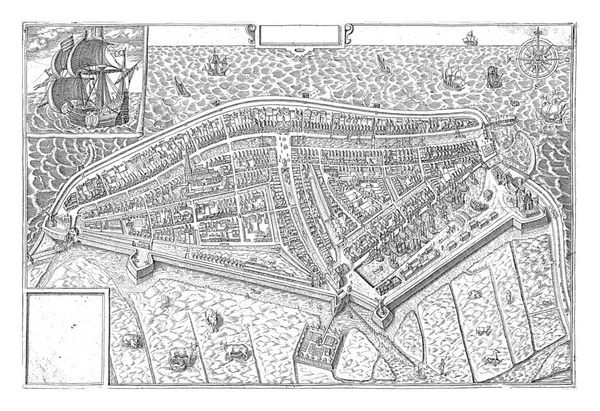
Map of the walled city of Medemblik, seen from a bird's eye view. Cows and horses in the meadow at the bottom.
Map Walled City Medemblik Seen Bird Eye View Cows Horses — Stock Photo, Image

Usage Information

You can use this royalty-free vector image "London and its environs vintage engraving" for personal and commercial purposes according to the Standard or Extended License. The Standard License covers most use cases, including advertising, UI designs, and product packaging, and allows up to 500,000 print copies. The Extended License permits all use cases under the Standard License with unlimited print rights and allows you to use the downloaded vector files for merchandise, product resale, or free distribution.

This stock vector image is scalable to any size. You can buy and download it in high resolution up to 7366x6988. Upload Date: Sep 12, 2011