Uk map Stock Photos

100,000 Uk map pictures are available under a royalty-free license

  • Best Match
  • Fresh
  • Popular
1-100 of 100,000
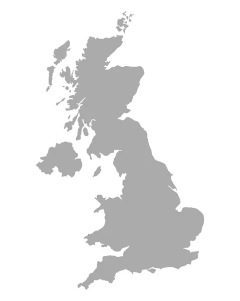
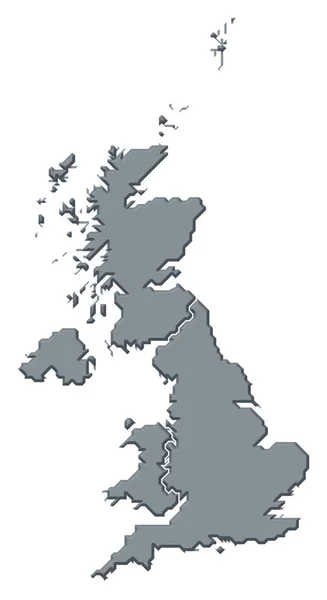
UK map
UK map — Stock Photo, Image
Map Of United Kingdom 3d Shape
Map Of United Kingdom 3d Shape — Stock Photo, Image
UK Map
UK Map — Stock Photo, Image
Illustration of united kingdom of great britain
Illustration of united kingdom of great britain — Stock Photo, Image
GB England map pin
GB England    map pin — Stock Photo, Image
UK map
UK map — Stock Photo, Image
England 3D Abstract Map Europe Great Britain
England 3D Abstract Map Europe Great Britain — Stock Photo, Image
Map of UK - isolated
Map of UK - isolated — Stock Photo, Image
Map of United Kingdom
Map United Kingdom — Stock Photo, Image
Colchester UK map pin
Colchester  UK  map pin — Stock Photo, Image
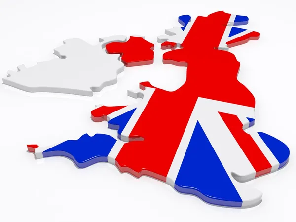
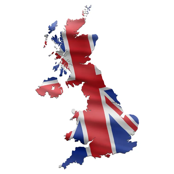
UK Map with British Flag
UK Map with British Flag — Stock Photo, Image
Detailed Earth. United Kingdom and the North Sea
Detailed Earth. United Kingdom and the North Sea — Stock Photo, Image
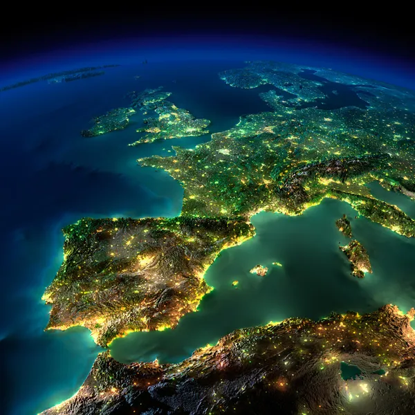
Night Earth. A piece of Europe - Spain, Portugal, France
Night Earth. A piece of Europe - Spain, Portugal, France — Stock Photo, Image
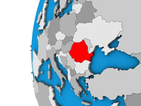
Romania on blue political 3D globe. 3D illustration.
Romania Blue Political Globe Illustration — Stock Photo, Image
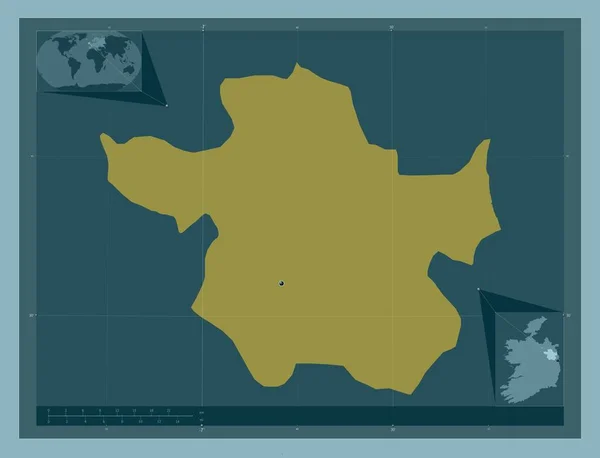
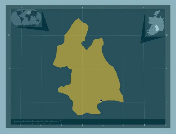
Meath, county of Ireland. Solid color shape. Corner auxiliary location maps
Meath County Ireland Solid Color Shape Corner Auxiliary Location Maps — Stock Photo, Image
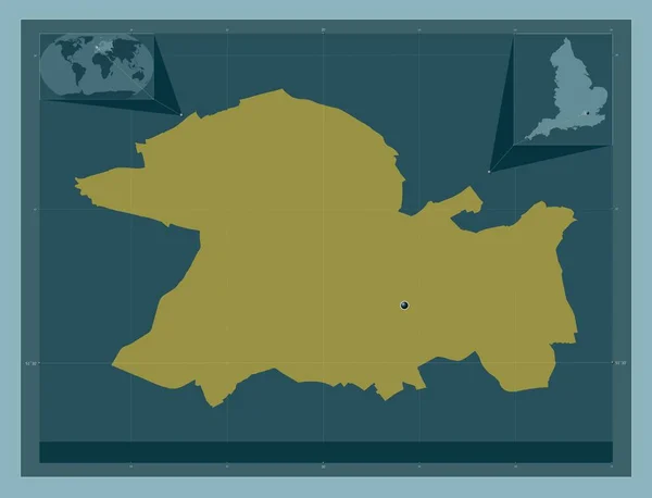
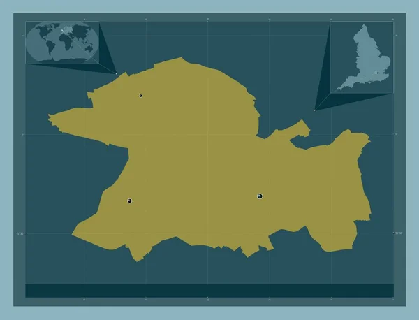
London Borough of Ealing, london borough of England - Great Britain. Solid color shape. Corner auxiliary location maps
London Borough Ealing London Borough England Great Britain Solid Color — Stock Photo, Image
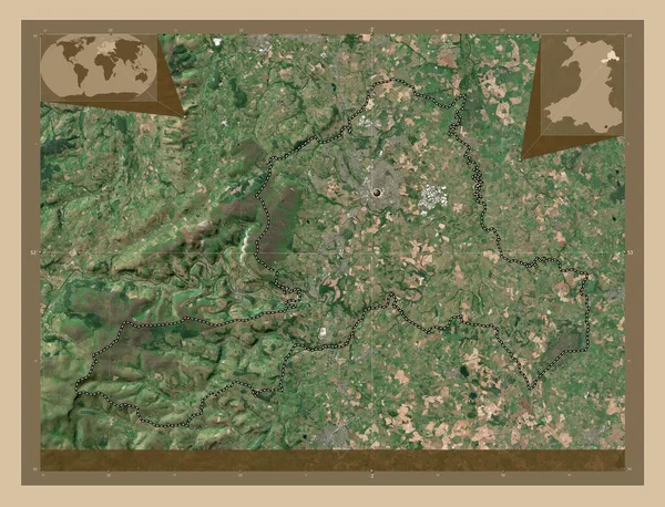
Wrexham, region of Wales - Great Britain. Low resolution satellite map. Corner auxiliary location maps
Wrexham Region Wales Great Britain Low Resolution Satellite Map Corner — Stock Photo, Image
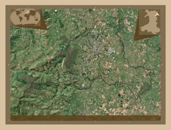
Wrexham, region of Wales - Great Britain. Low resolution satellite map. Locations of major cities of the region. Corner auxiliary location maps
Wrexham Region Wales Great Britain Low Resolution Satellite Map Locations — Stock Photo, Image
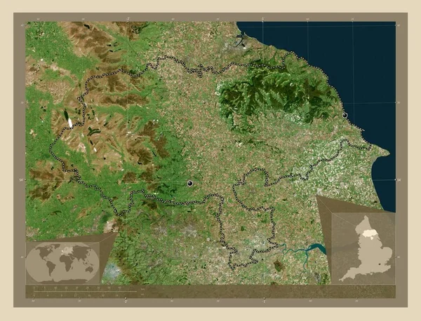
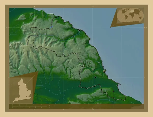
North Yorkshire, administrative county of England - Great Britain. High resolution satellite map. Locations of major cities of the region. Corner auxiliary location maps
North Yorkshire Administrative County England Great Britain High Resolution Satellite — Stock Photo, Image
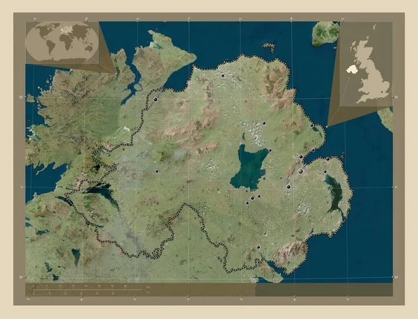
Northern Ireland, region of United Kingdom. High resolution satellite map. Locations of major cities of the region. Corner auxiliary location maps
Northern Ireland Region United Kingdom High Resolution Satellite Map Locations — Stock Photo, Image
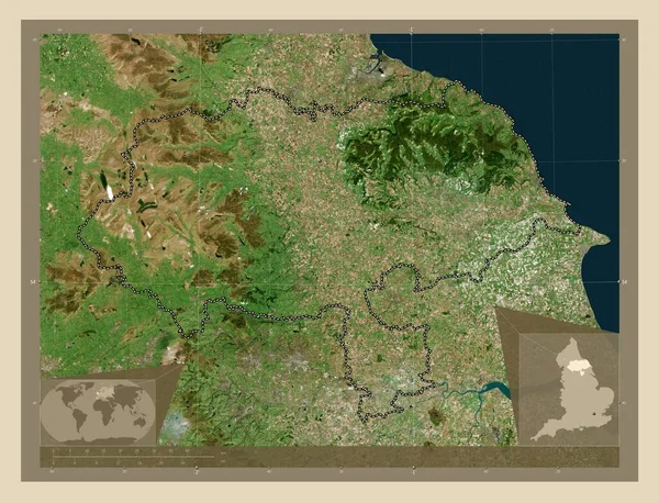
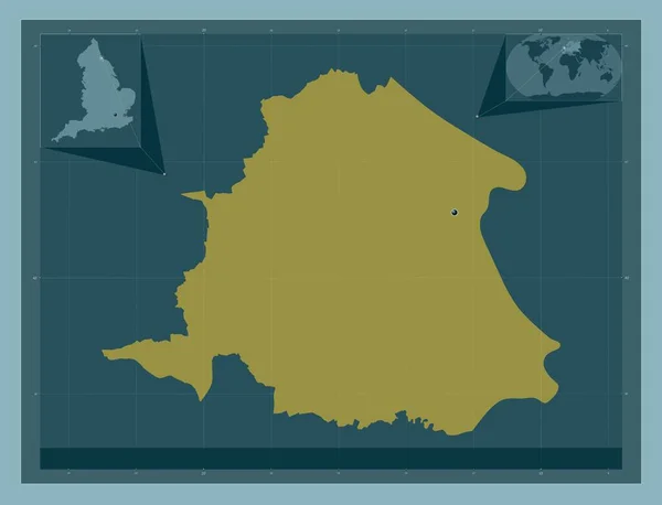
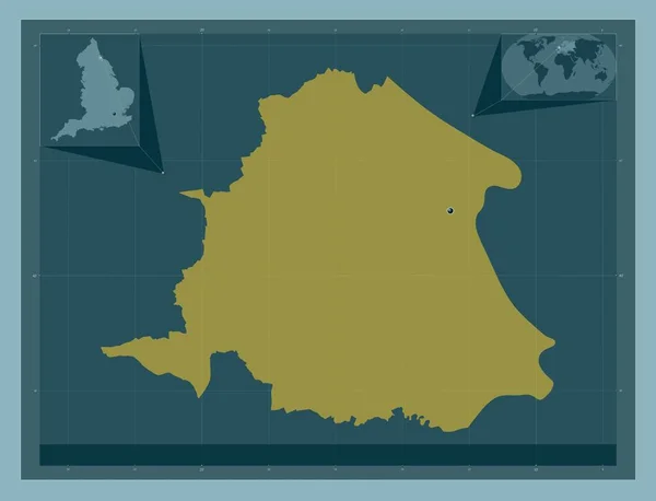
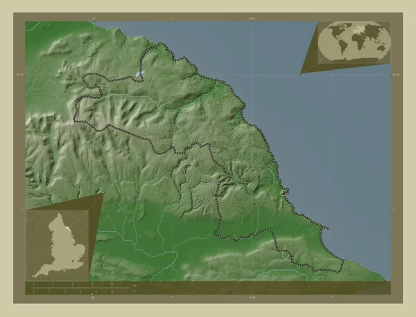
North Yorkshire, administrative county of England - Great Britain. High resolution satellite map. Corner auxiliary location maps
North Yorkshire Administrative County England Great Britain High Resolution Satellite — Stock Photo, Image
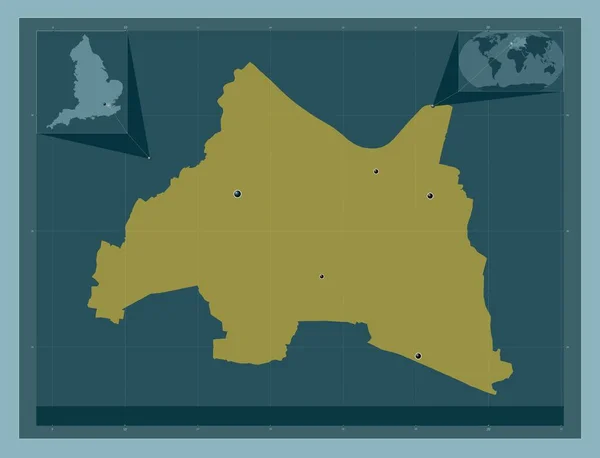
Dartford, non metropolitan district of England - Great Britain. Solid color shape. Locations of major cities of the region. Corner auxiliary location maps
Dartford Non Metropolitan District England Great Britain Solid Color Shape — Stock Photo, Image
England map blue print artwork illustration silhouette
England map blue print artwork illustration silhouette — Stock Photo, Image
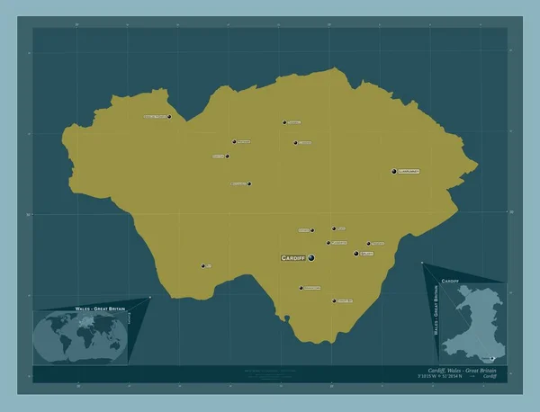
Cardiff, region of Wales - Great Britain. Solid color shape. Locations and names of major cities of the region. Corner auxiliary location maps
Cardiff Region Wales Great Britain Solid Color Shape Locations Names — Stock Photo, Image
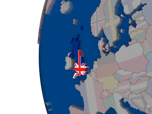
United Kingdom with national flag
United Kingdom with national flag — Stock Photo, Image
United Kingdom with national flag
United Kingdom with national flag — Stock Photo, Image
3D planet earth with flag in the wind UK
3D planet earth with flag in the wind UK — Stock Photo, Image
Country Shape isolated on chalk board with the name and shape of
Country Shape isolated on chalk board with the name and shape of — Stock Photo, Image
Country Shape isolated on chalk board with the name and shape of
Country Shape isolated on chalk board with the name and shape of — Stock Photo, Image
Kvemo Kartli, region of Georgia. Solid color shape. Locations and names of major cities of the region. Corner auxiliary location maps
Kvemo Kartli Region Georgia Solid Color Shape Locations Names Major — Stock Photo, Image
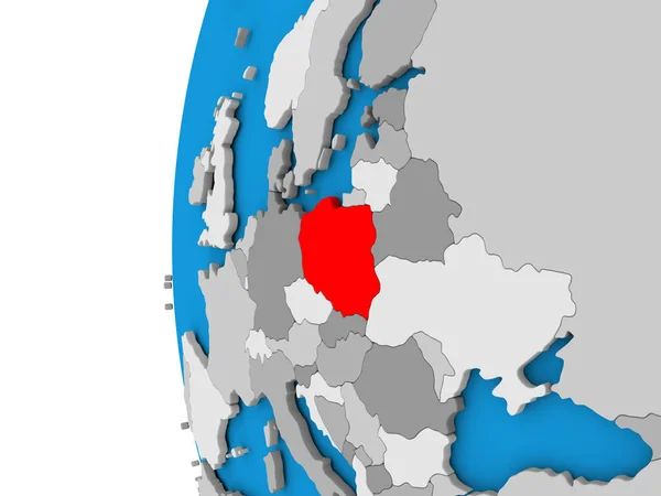
Poland on globe
Poland on globe — Stock Photo, Image
Cyprus in red on blue model of political globe with transparent oceans. 3D illustration.
Cyprus Red Blue Model Political Globe Transparent Oceans Illustration — Stock Photo, Image
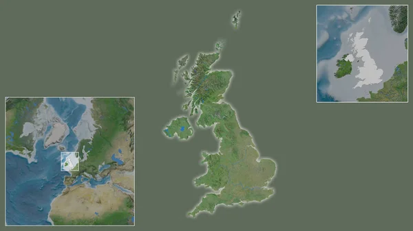
Close-up of United Kingdom and its location in the region and in the center of a large-scale world map. Satellite imagery
Close United Kingdom Its Location Region Center Large Scale World — Stock Photo, Image
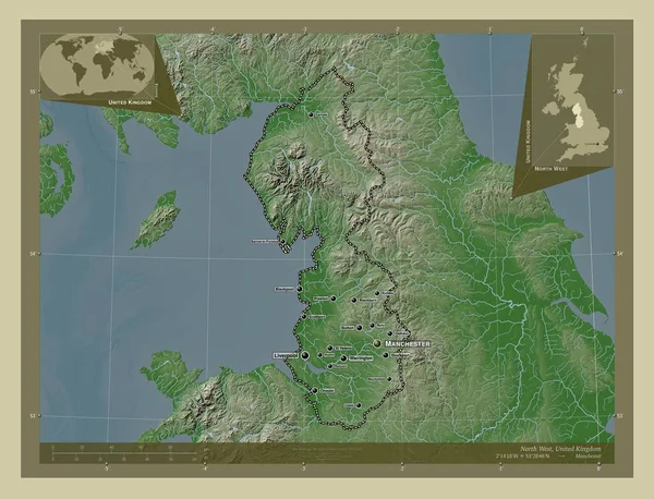
North West, region of United Kingdom. Elevation map colored in wiki style with lakes and rivers. Locations and names of major cities of the region. Corner auxiliary location maps
North West Region United Kingdom Elevation Map Colored Wiki Style — Stock Photo, Image
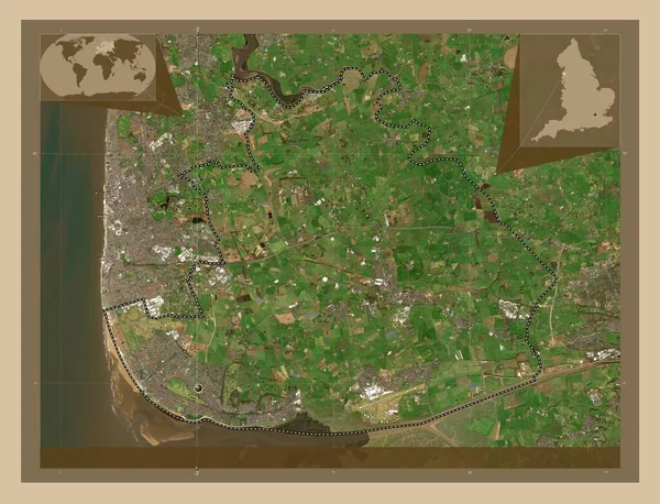
Fylde, non metropolitan district of England - Great Britain. Low resolution satellite map. Corner auxiliary location maps
Fylde Non Metropolitan District England Great Britain Low Resolution Satellite — Stock Photo, Image
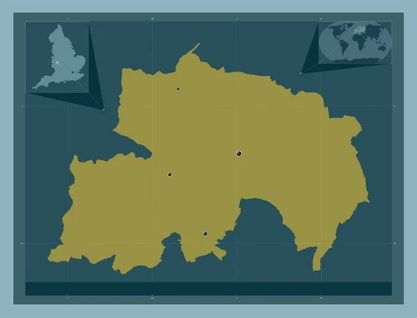
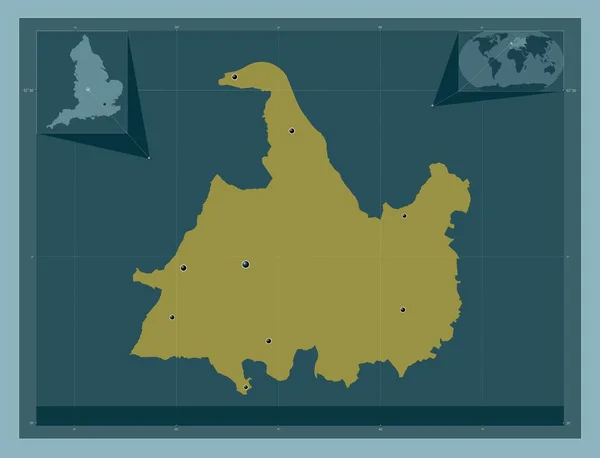
Walsall, unitary authority of England - Great Britain. Solid color shape. Corner auxiliary location maps
Walsall Unitary Authority England Great Britain Solid Color Shape Corner — Stock Photo, Image
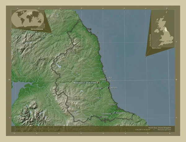
North East, region of United Kingdom. Elevation map colored in wiki style with lakes and rivers. Locations and names of major cities of the region. Corner auxiliary location maps
North East Region United Kingdom Elevation Map Colored Wiki Style — Stock Photo, Image
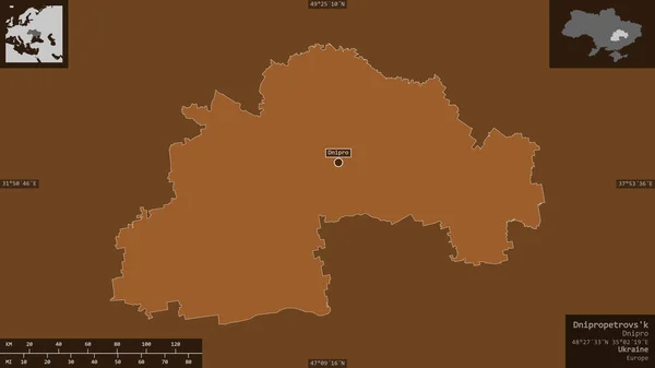
Dnipropetrovs'k, region of Ukraine. Patterned solids with lakes and rivers. Shape presented against its country area with informative overlays. 3D rendering
Dnipropetrovs Region Ukraine Patterned Solids Lakes Rivers Shape Presented Its — Stock Photo, Image
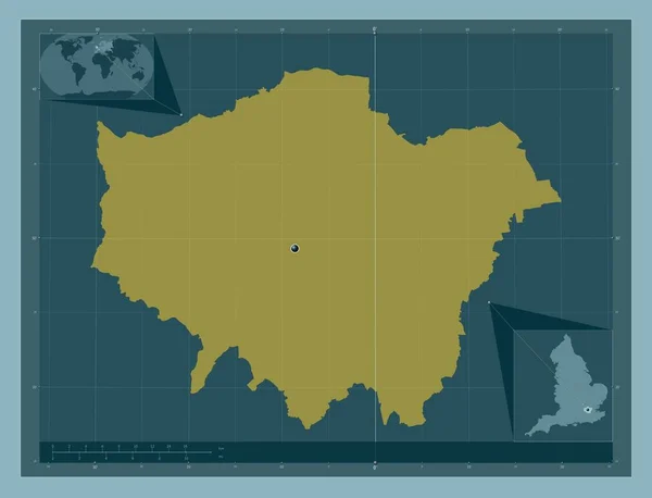
London, london borough of England - Great Britain. Solid color shape. Corner auxiliary location maps
London London Borough England Great Britain Solid Color Shape Corner — Stock Photo, Image
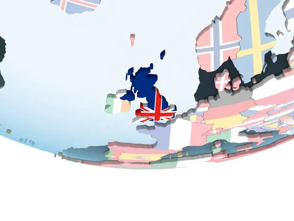
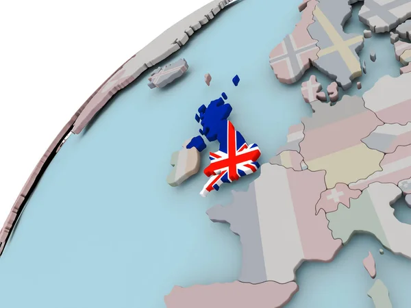
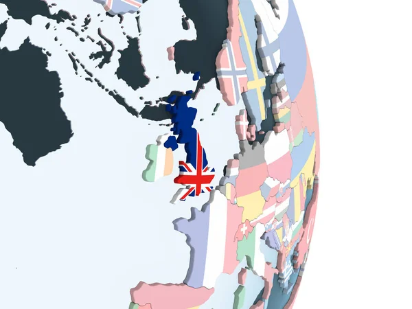
United Kingdom on bright political globe with embedded flag. 3D illustration.
United Kingdom Bright Political Globe Embedded Flag Illustration — Stock Photo, Image
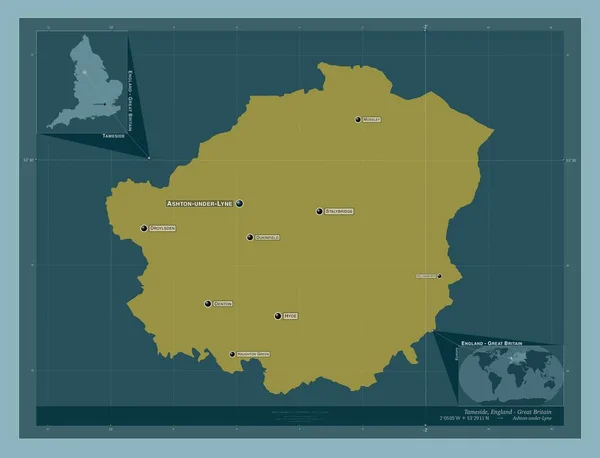
Tameside, metropolitan district of England - Great Britain. Solid color shape. Locations of major cities of the region. Corner auxiliary location maps
Tameside Metropolitan District England Great Britain Solid Color Shape Locations — Stock Photo, Image
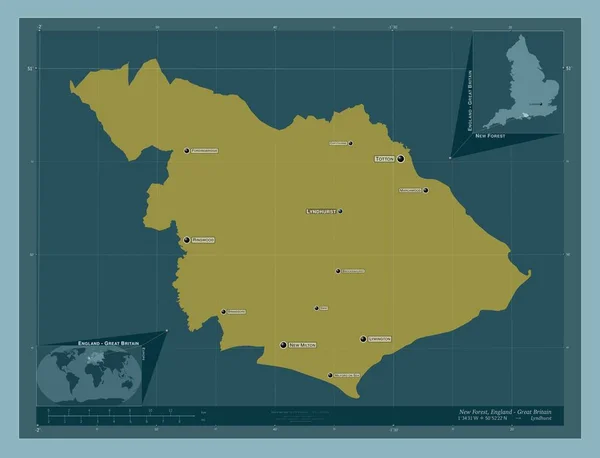
New Forest, non metropolitan district of England - Great Britain. Solid color shape. Locations and names of major cities of the region. Corner auxiliary location maps
New Forest Non Metropolitan District England Great Britain Solid Color — Stock Photo, Image
London Borough of Ealing, london borough of England - Great Britain. Solid color shape. Locations of major cities of the region. Corner auxiliary location maps
London Borough Ealing London Borough England Great Britain Solid Color — Stock Photo, Image
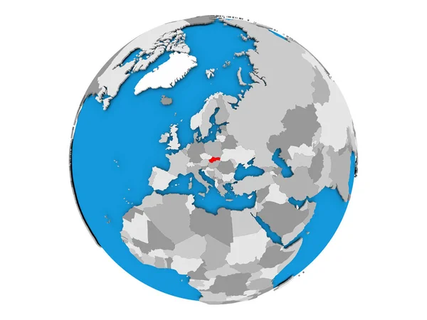
Map of Slovakia on political globe
Map of Slovakia on political globe — Stock Photo, Image
Tameside, metropolitan district of England - Great Britain. Solid color shape. Locations and names of major cities of the region. Corner auxiliary location maps
Tameside Metropolitan District England Great Britain Solid Color Shape Locations — Stock Photo, Image
Map of United Kingdom with flag
Map of United Kingdom with flag — Stock Photo, Image
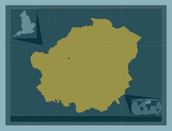
Tameside, metropolitan district of England - Great Britain. Solid color shape. Corner auxiliary location maps
Tameside Metropolitan District England Great Britain Solid Color Shape Corner — Stock Photo, Image
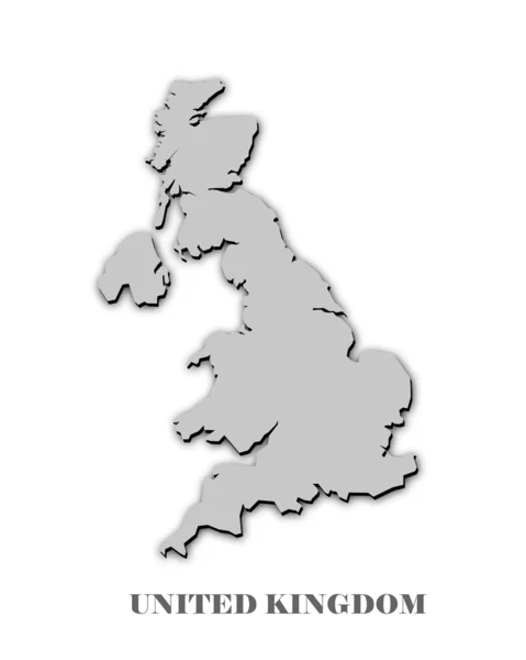
UNITED KINGDOM MAP
UNITED KINGDOM MAP — Stock Photo, Image
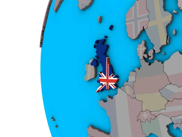
United Kingdom with national flag on blue political 3D globe. 3D illustration.
United Kingdom National Flag Blue Political Globe Illustration — Stock Photo, Image
Wyre Forest, non metropolitan district of England - Great Britain. Solid color shape. Locations of major cities of the region. Corner auxiliary location maps
Wyre Forest Non Metropolitan District England Great Britain Solid Color — Stock Photo, Image
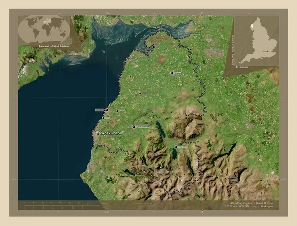
Allerdale, non metropolitan district of England - Great Britain. High resolution satellite map. Locations and names of major cities of the region. Corner auxiliary location maps
Allerdale Non Metropolitan District England Great Britain High Resolution Satellite — Stock Photo, Image
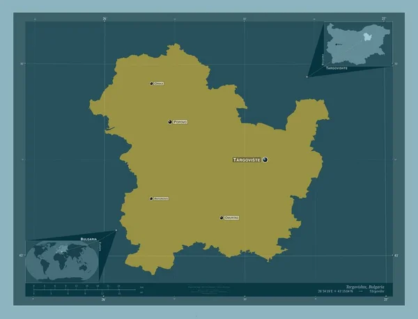
Targovishte, province of Bulgaria. Solid color shape. Locations and names of major cities of the region. Corner auxiliary location maps
Targovishte Province Bulgaria Solid Color Shape Locations Names Major Cities — Stock Photo, Image
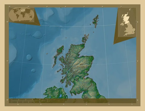
Scotland, region of United Kingdom. Colored elevation map with lakes and rivers. Locations of major cities of the region. Corner auxiliary location maps
Scotland Region United Kingdom Colored Elevation Map Lakes Rivers Locations — Stock Photo, Image
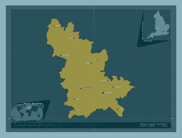
Wychavon, non metropolitan district of England - Great Britain. Solid color shape. Locations and names of major cities of the region. Corner auxiliary location maps
Wychavon Non Metropolitan District England Great Britain Solid Color Shape — Stock Photo, Image
Fictional map of imaginary world with green continents, blue ocean. Map for banner, poster, print, cover or wall decoration. Imaginary world.
Fictional Map Imaginary World Green Continents Blue Ocean Map Banner — Stock Photo, Image
Ouaddai, region of Chad. Solid color shape. Locations of major cities of the region. Corner auxiliary location maps
Ouaddai Region Chad Solid Color Shape Locations Major Cities Region — Stock Photo, Image
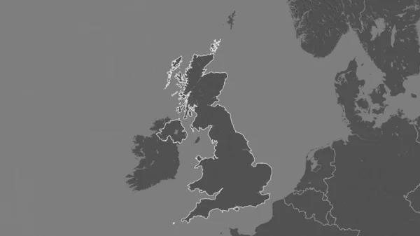
Outlined shape of the United Kingdom area. Bilevel elevation map with surface waters. 3D rendering
Outlined Shape United Kingdom Area Bilevel Elevation Map Surface Waters — Stock Photo, Image
Hartlepool, unitary authority of England - Great Britain. Solid color shape. Corner auxiliary location maps
Hartlepool Unitary Authority England Great Britain Solid Color Shape Corner — Stock Photo, Image
Hartlepool, unitary authority of England - Great Britain. Solid color shape. Locations of major cities of the region. Corner auxiliary location maps
Hartlepool Unitary Authority England Great Britain Solid Color Shape Locations — Stock Photo, Image
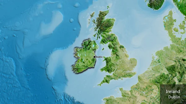
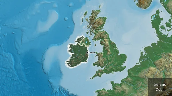
Close-up of the Ireland border area on a satellite map. Capital point. Bevelled edges of the country shape. English name of the country and its capital
Close Ireland Border Area Satellite Map Capital Point Bevelled Edges — Stock Photo, Image
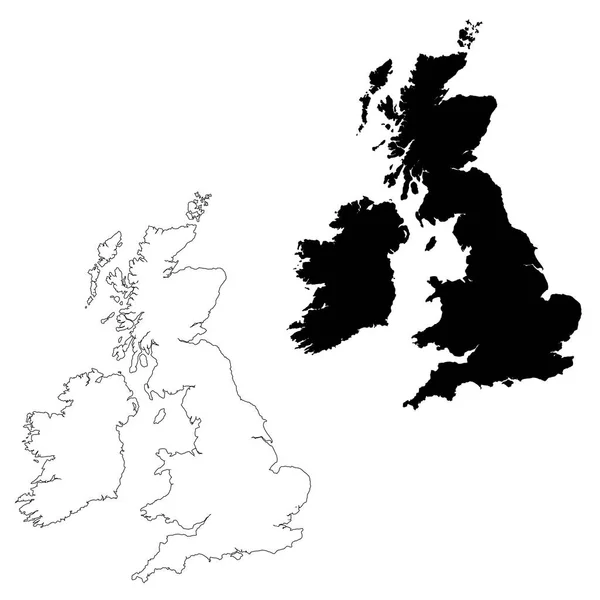
UK and Ireland map
UK and Ireland map — Stock Photo, Image
Meath, county of Ireland. Solid color shape. Locations of major cities of the region. Corner auxiliary location maps
Meath County Ireland Solid Color Shape Locations Major Cities Region — Stock Photo, Image
Nana-Mambere, prefecture of Central African Republic. Solid color shape. Locations and names of major cities of the region. Corner auxiliary location maps
Nana Mambere Prefecture Central African Republic Solid Color Shape Locations — Stock Photo, Image
Paper map of UK
Paper map of UK — Stock Photo, Image
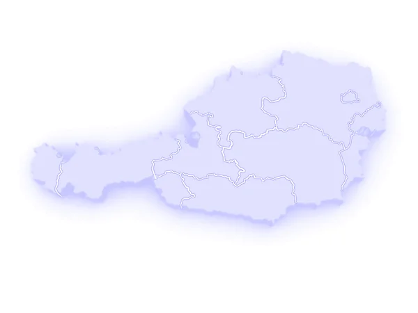
Three-dimensional map of Austria.
Three-dimensional map of Austria. — Stock Photo, Image
Belgium on shiny globe with water
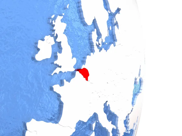
Belgium on shiny globe with water — Stock Photo, Image
Haskovo, province of Bulgaria. Solid color shape. Locations and names of major cities of the region. Corner auxiliary location maps
Haskovo Province Bulgaria Solid Color Shape Locations Names Major Cities — Stock Photo, Image
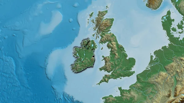
Close-up of the Ireland border area highlighting with a dark overlay on a relief map. Capital point. Glow around the country shape. English name of the country and its capital
Close Ireland Border Area Highlighting Dark Overlay Relief Map Capital — Stock Photo, Image
Netherlands on shiny globe with water
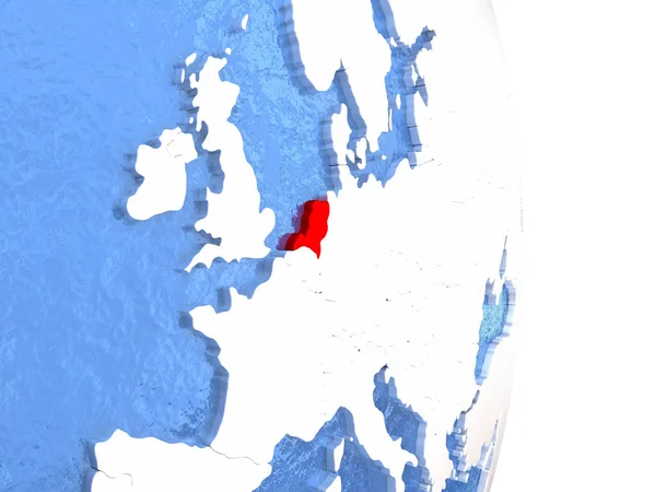
Netherlands on shiny globe with water — Stock Photo, Image
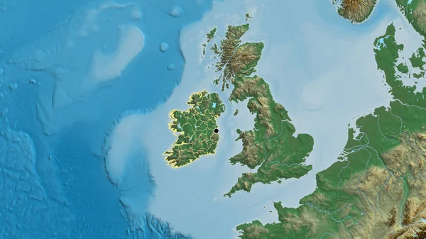
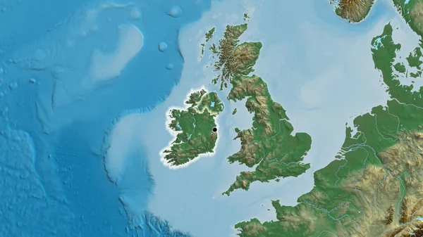
Close-up of the Ireland border area and its regional borders on a relief map. Capital point. Outline around the country shape.
Close Ireland Border Area Its Regional Borders Relief Map Capital — Stock Photo, Image
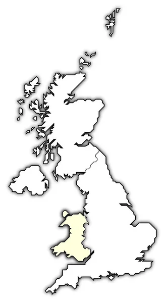
Political map of united kingdom with the several countries where wales is highlighted.
Political Map United Kingdom Several Countries Wales Highlighted — Stock Photo, Image
Scarborough, non metropolitan district of England - Great Britain. Colored elevation map with lakes and rivers. Locations of major cities of the region. Corner auxiliary location maps
Scarborough Non Metropolitan District England Great Britain Colored Elevation Map — Stock Photo, Image
Maidstone, non metropolitan district of England - Great Britain. Solid color shape. Locations of major cities of the region. Corner auxiliary location maps
Maidstone Non Metropolitan District England Great Britain Solid Color Shape — Stock Photo, Image
Dartford, non metropolitan district of England - Great Britain. Solid color shape. Corner auxiliary location maps
Dartford Non Metropolitan District England Great Britain Solid Color Shape — Stock Photo, Image
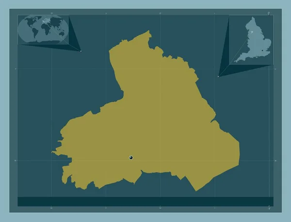
Pendle, non metropolitan district of England - Great Britain. Solid color shape. Corner auxiliary location maps
Pendle Non Metropolitan District England Great Britain Solid Color Shape — Stock Photo, Image
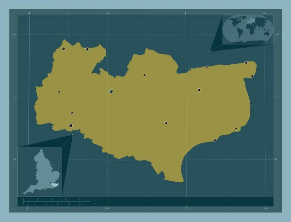
Kent, administrative county of England - Great Britain. Solid color shape. Locations of major cities of the region. Corner auxiliary location maps
Kent Administrative County England Great Britain Solid Color Shape Locations — Stock Photo, Image
United Kingdom on bright political globe with embedded flag. 3D illustration.
United Kingdom Bright Political Globe Embedded Flag Illustration — Stock Photo, Image
Slovakia on globe isolated
Slovakia on globe isolated — Stock Photo, Image
Political map of United Kingdom with the several countries.
Political Map United Kingdom Several Countries — Stock Photo, Image
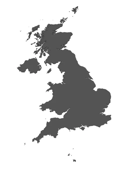
Map Great Britain. Isolated Illustration. Black on White background.
Map Great Britain Isolated Illustration Black White Background — Stock Photo, Image
Close-up of the Ireland border area on a relief map. Capital point. Glow around the country shape.
Close Ireland Border Area Relief Map Capital Point Glow Country — Stock Photo, Image
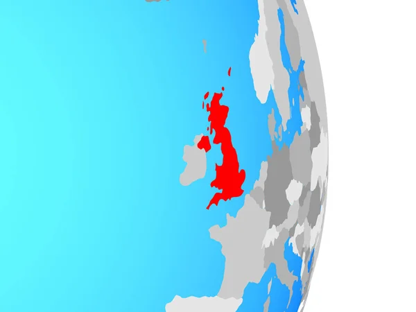
United Kingdom on simple political globe. 3D illustration.
United Kingdom Simple Political Globe Illustration — Stock Photo, Image
United Kingdom on simple political globe. 3D illustration.
United Kingdom Simple Political Globe Illustration — Stock Photo, Image
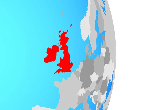
British Isles on simple political globe. 3D illustration.
British Isles Simple Political Globe Illustration — Stock Photo, Image
United Kingdom map
United Kingdom map — Stock Photo, Image
Tipperary, county of Ireland. Solid color shape. Corner auxiliary location maps
Tipperary County Ireland Solid Color Shape Corner Auxiliary Location Maps — Stock Photo, Image
Scarborough, non metropolitan district of England - Great Britain. Elevation map colored in wiki style with lakes and rivers. Corner auxiliary location maps
Scarborough Non Metropolitan District England Great Britain Elevation Map Colored — Stock Photo, Image
Political map of united kingdom with the several countries.
Political Map United Kingdom Several Countries — Stock Photo, Image
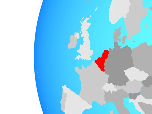
Benelux Union on blue political globe. 3D illustration.
Benelux Union Blue Political Globe Illustration — Stock Photo, Image
Benelux Union on blue political globe. 3D illustration.
Benelux Union Blue Political Globe Illustration — Stock Photo, Image
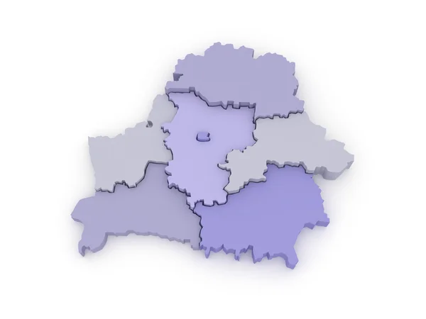
Three-dimensional map of Belarus.
Three-dimensional map of Belarus. — Stock Photo, Image
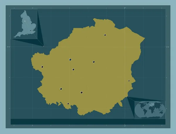
Solihull, unitary authority of England - Great Britain. Solid color shape. Locations of major cities of the region. Corner auxiliary location maps
Solihull Unitary Authority England Great Britain Solid Color Shape Locations — Stock Photo, Image
Close-up of the Ireland border area on a relief map. Capital point. Bevelled edges of the country shape.
Close Ireland Border Area Relief Map Capital Point Bevelled Edges — Stock Photo, Image
Map of Bolivia.
Map of Bolivia. — Stock Photo, Image

Related image searches

UK Map Images - Stock Images Downloads

Discover a Wide Range of UK Map Images

Are you searching for high-quality UK map images to enhance your projects?

Look no further! Our stock image collection offers a plethora of visually stunning options to meet your needs.

Various File Formats for Your Convenience

Our UK map images are available in the widely used file formats of JPG, AI, and EPS. While SVG is not currently available, these formats provide excellent quality and compatibility for your projects. Whether you require digital or print materials, our images are adaptable and ready for use.

Where Can You Use UK Map Images?

Our diverse UK map images can be utilized in a range of projects. Whether you're creating educational materials, designing websites, or producing marketing collateral, our stock images are versatile in their applications.

Teachers can utilize our UK map images to enhance geography lessons and engage students. Businesses can incorporate these images into presentations, reports, and promotional materials to convey a strong and professional message. Web designers can add a touch of creativity by incorporating UK map images into their website layouts.

Unleash Your Creativity with UK Map Images

With our wide selection of UK map images, you can let your creativity soar. Whether you need a clear and accurate depiction or a stylized version, our collection offers both traditional and artistic interpretations of UK maps.
For a classic look, our detailed and accurate maps provide a comprehensive view of the United Kingdom. These images are ideal for educational materials or professional documents where precision is essential.

If you're looking for a unique touch, explore our artistic interpretations of UK maps. These images showcase the beauty of the United Kingdom in a more abstract and creative manner. Perfect for eye-catching designs and visual storytelling, these images add a touch of personality to your projects.

Choosing the Right UK Map Image

When selecting a UK map image, consider the specific needs of your project. Pay attention to the level of detail, style, and color scheme.

If you require a map with detailed information, opt for our accurate and informative options. These images provide labels of cities, towns, and other landmarks on the map, enhancing their educational value.

For projects that require a more artistic approach, choose from our stylized UK maps. These images focus on the overall visual impact and make a bold statement with their unique designs.

Furthermore, consider the color scheme of the image and ensure it aligns with the overall aesthetics of your project. Vibrant and colorful maps can be eye-catching, while more muted and subtle tones offer a sophisticated and professional look.

Enhance Your Projects with UK Map Images

Are you ready to take your projects to the next level? Our collection of UK map images offers endless possibilities for enhancing your materials across various industries.

From educational materials to marketing campaigns, our stock images are carefully curated to provide you with the highest quality visuals. Explore our collection today and unlock the power of UK map images for your projects!