Australia map Stock Photos

100,000 Australia map pictures are available under a royalty-free license

  • Best Match
  • Fresh
  • Popular
1-100 of 100,000
Australia 3D flag map on white
Australia 3D flag map on white — Stock Photo, Image
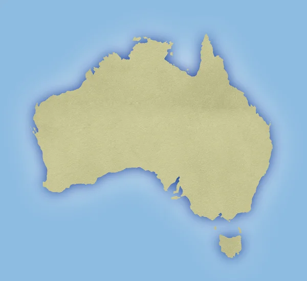
Paper map of Australia
Paper map of Australia — Stock Photo, Image
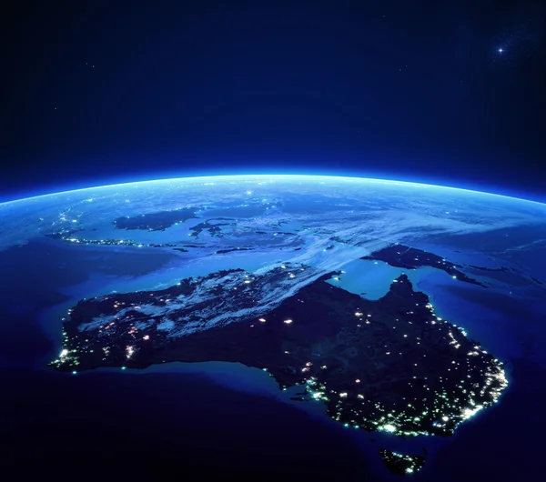
Australia with city lights from space at night
Australia with city lights from space at night — Stock Photo, Image
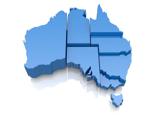
Three-dimensional map of Australia
Three-dimensional map of Australia — Stock Photo, Image
Australia
Australia — Stock Photo, Image
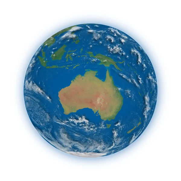
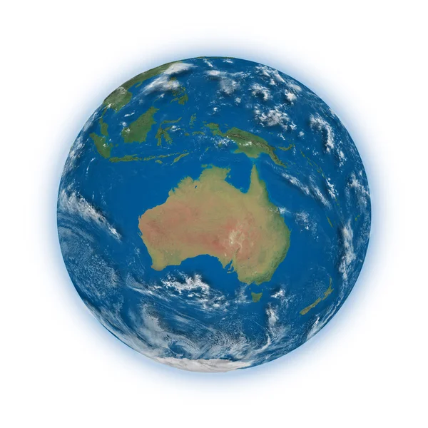
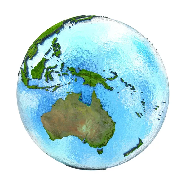
Planet earth on white - Australian view
Planet earth on white - Australian view — Stock Photo, Image
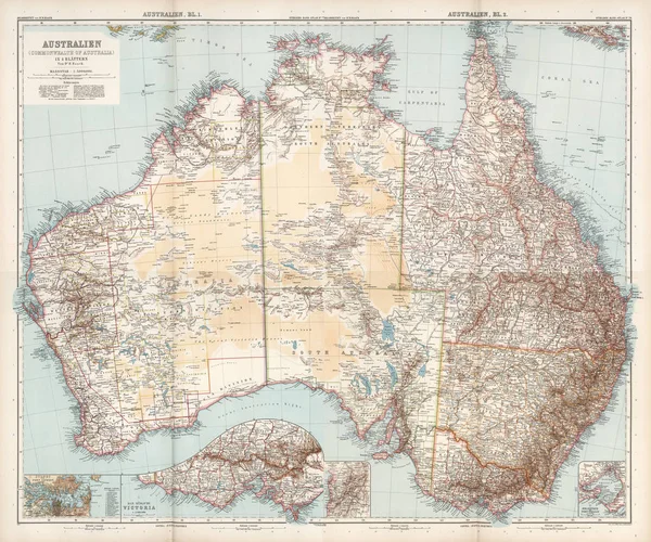
Vintage map of Australia on grunge paper
Vintage map of Australia on grunge paper — Stock Photo, Image
Map of Australia isolated
Map of Australia isolated — Stock Photo, Image
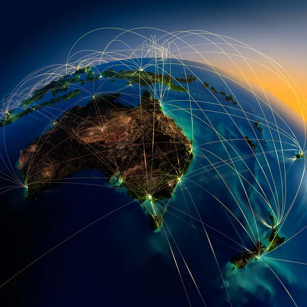
Main air routes in Australia and Oceania
Main air routes in Australia and Oceania — Stock Photo, Image
3d map of Australia
3d map of Australia — Stock Photo, Image
Australia
Australia — Stock Photo, Image
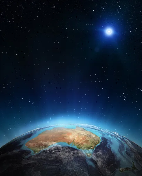
Orbital view on Earth from space
Orbital view on Earth from space — Stock Photo, Image
Commonwealth of Australia map with city signs
Commonwealth Australia Map City Signs — Stock Photo, Image
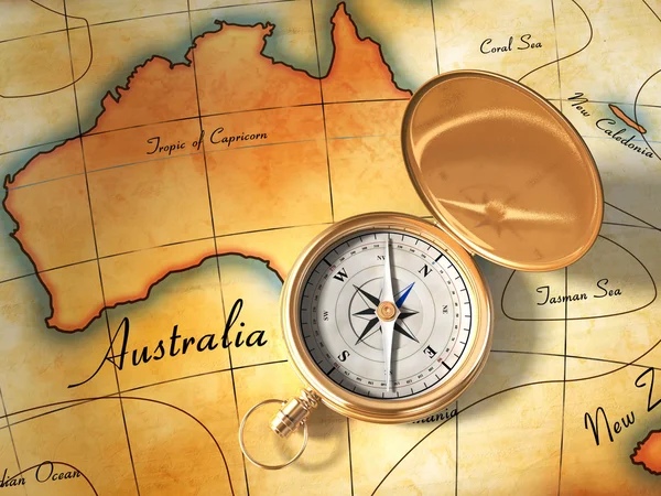
Old map and compass
Old map and compass — Stock Photo, Image
Map of Australia
Map of Australia — Stock Photo, Image
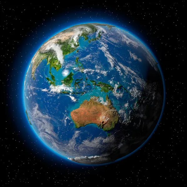
Earth in Space
Earth in Space — Stock Photo, Image
Australia and New Zealand
Australia and New Zealand — Stock Photo, Image
Australia
Australia — Stock Photo, Image
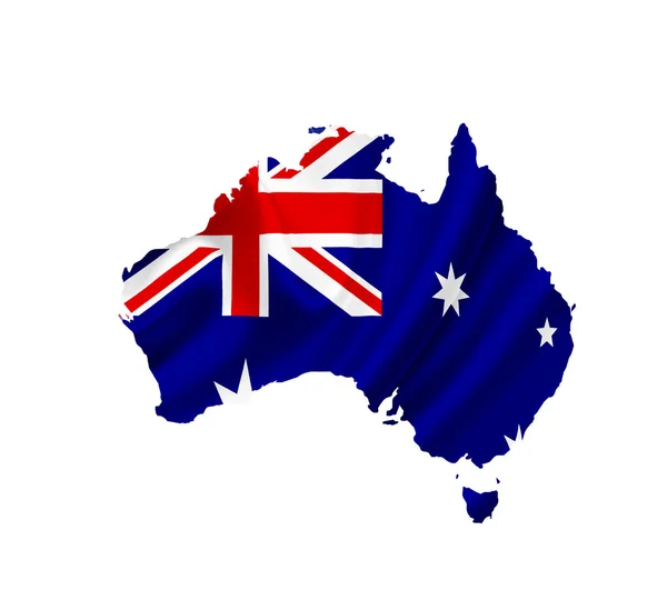
Map of Australia with waving flag isolated on white
Map of Australia with waving flag isolated on white — Stock Photo, Image
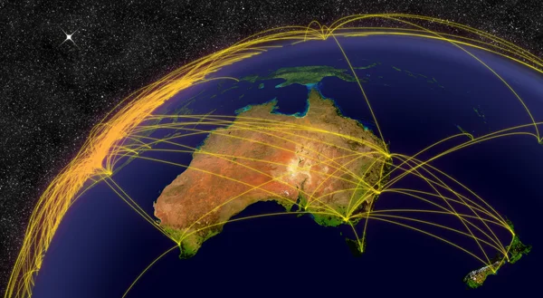
Main air routes in Australia and New Zealand
Main air routes in Australia and New Zealand — Stock Photo, Image
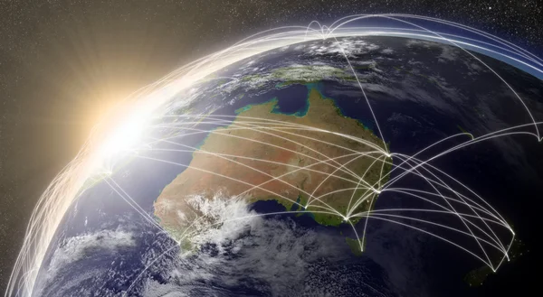
Air travel in Australia
Air travel in Australia — Stock Photo, Image
Network over Australia
Network over Australia — Stock Photo, Image
World map
World map — Stock Photo, Image
Australia map
Australia map — Stock Photo, Image
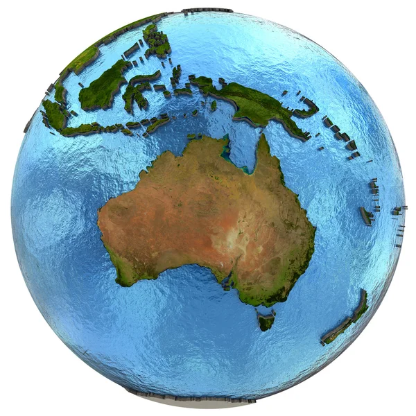
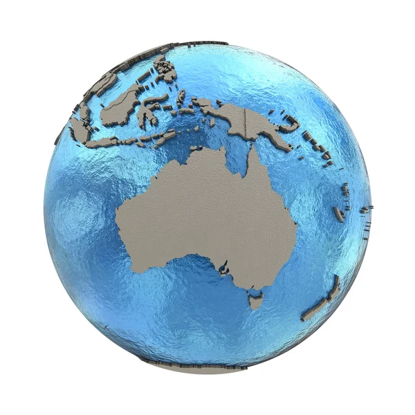
Planet Earth with embossed continents and country borders. Australia. Isolated on white background. Elements of this image furnished by NASA.
Planet Earth Embossed Continents Country Borders Australia Isolated White Background — Stock Photo, Image
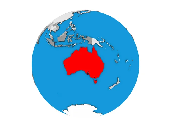
Australia on simple political globe. 3D illustration.
Australia Simple Political Globe Illustration — Stock Photo, Image
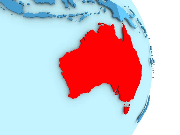
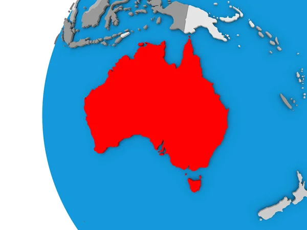
Australia on blue political globe. 3D illustration.
Australia Blue Political Globe Illustration — Stock Photo, Image
Australia map
Australia map — Stock Photo, Image
Ryazan, Russia - July 08, 2018: Country of Australia on the google maps service
Ryazan Russia July 2018 Country Australia Google Maps Service — Stock Photo, Image
Map of Australia
Map of Australia — Stock Photo, Image
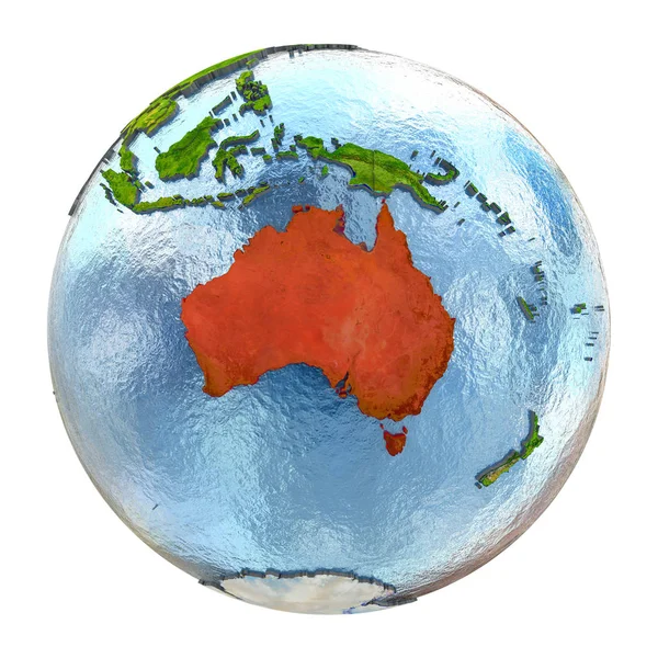
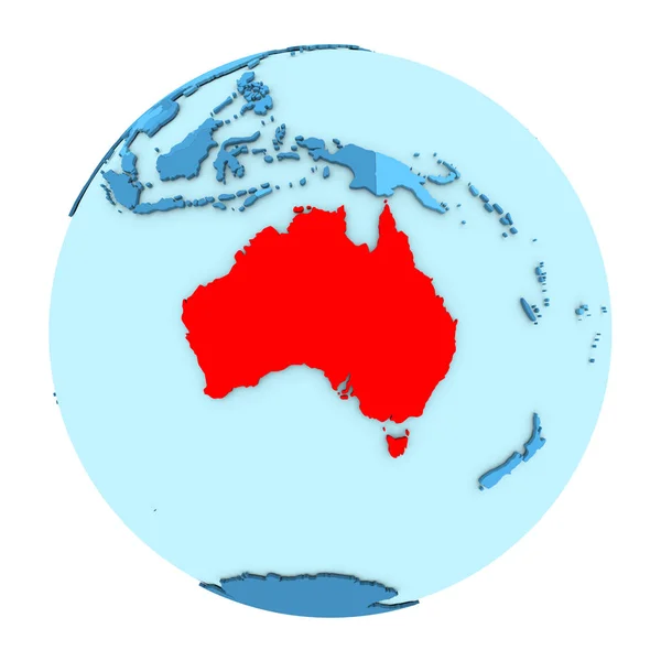
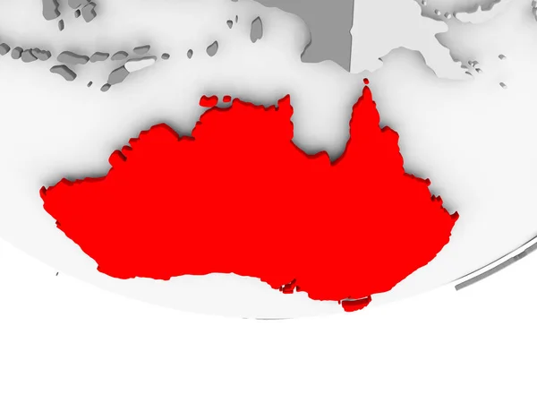
Australia in red on full Earth
Australia in red on full Earth — Stock Photo, Image
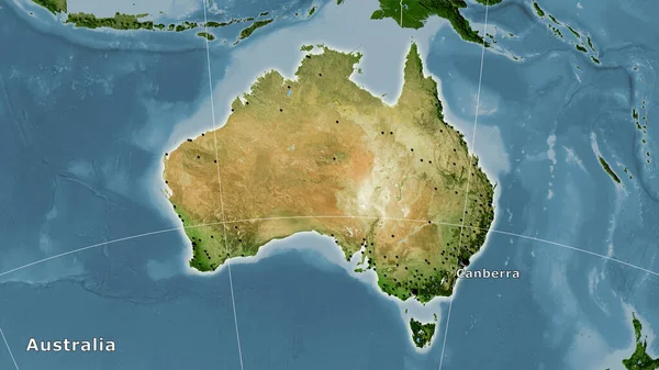
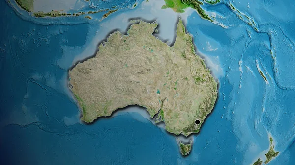
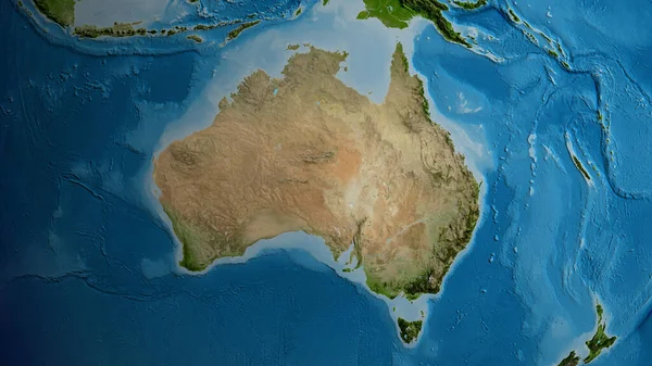
Close-up of the Australia border area on a satellite map. Capital point. Bevelled edges of the country shape.
Close Australia Border Area Satellite Map Capital Point Bevelled Edges — Stock Photo, Image
Australia area on the satellite B map in the stereographic projection - main composition
Australia Area Satellite Map Stereographic Projection Main Composition — Stock Photo, Image
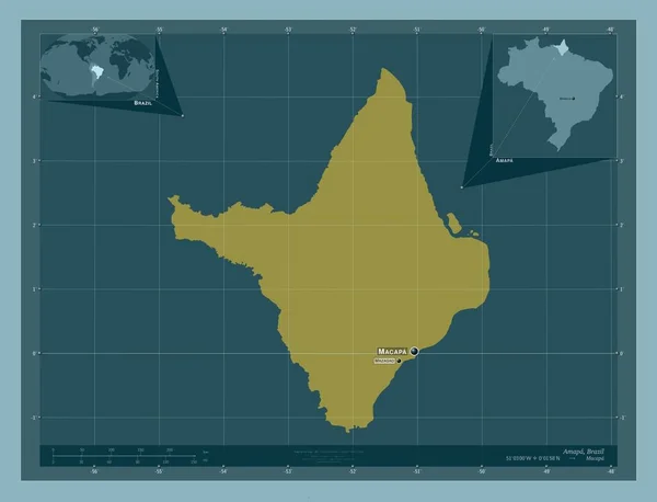
Amapa, state of Brazil. Solid color shape. Locations and names of major cities of the region. Corner auxiliary location maps
Amapa State Brazil Solid Color Shape Locations Names Major Cities — Stock Photo, Image
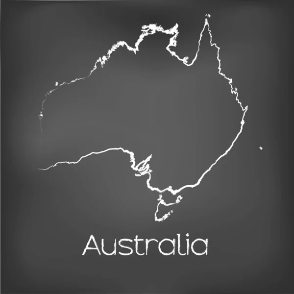
Country Shape isolated on chalk board with the name and shape of
Country Shape isolated on chalk board with the name and shape of — Stock Photo, Image
Country Shape isolated on chalk board with the name and shape of
Country Shape isolated on chalk board with the name and shape of — Stock Photo, Image
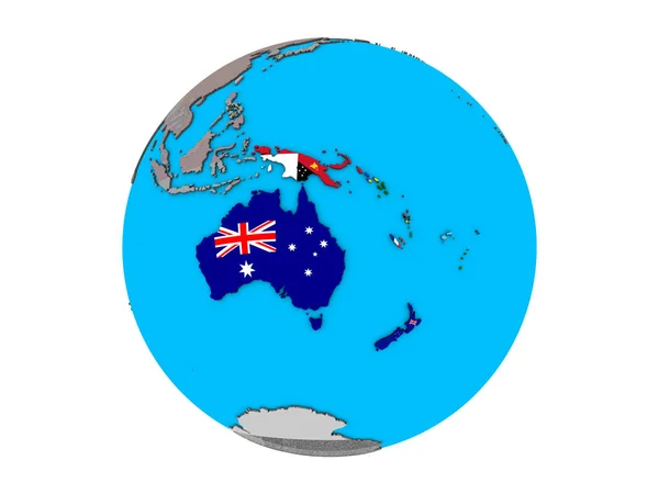
Australia with embedded national flags on blue political 3D globe. 3D illustration isolated on white background.
Australia Embedded National Flags Blue Political Globe Illustration Isolated White — Stock Photo, Image
Australia on Earth
Australia on Earth — Stock Photo, Image
Australia on Earth
Australia on Earth — Stock Photo, Image
Squared Background with the country shape of Australia
Squared Background with the country shape of Australia — Stock Photo, Image
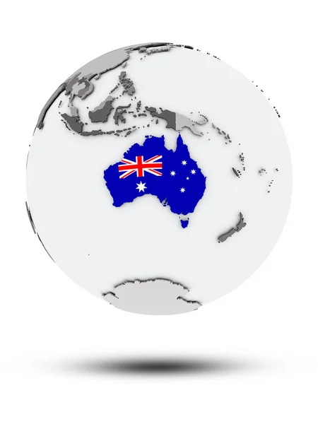
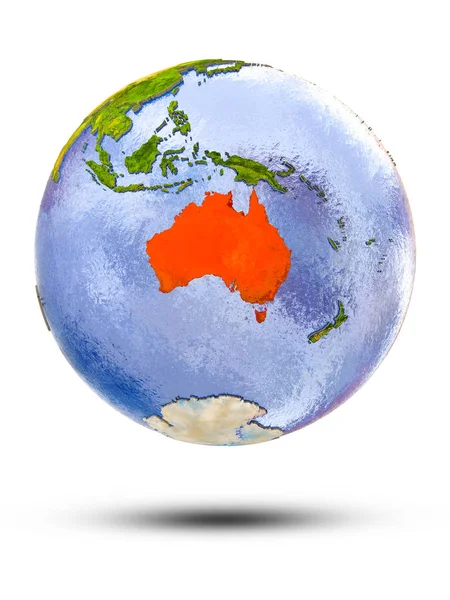
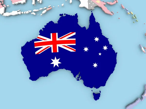
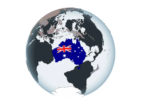
Australia with flag on globe with shadow isolated on white background. 3D illustration.
Australia Flag Globe Shadow Isolated White Background Illustration — Stock Photo, Image
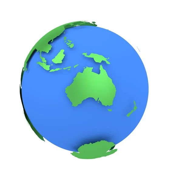
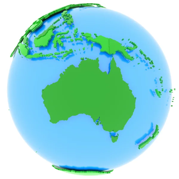
Earth globe with green continents isolated on white background. World Map. 3D rendering illustration. australia
Earth globe with green continents isolated on white background. World Map. 3D rendering illustration.  australia — Stock Photo, Image
Three-dimensional map of Australia.
Three-dimensional map of Australia. — Stock Photo, Image
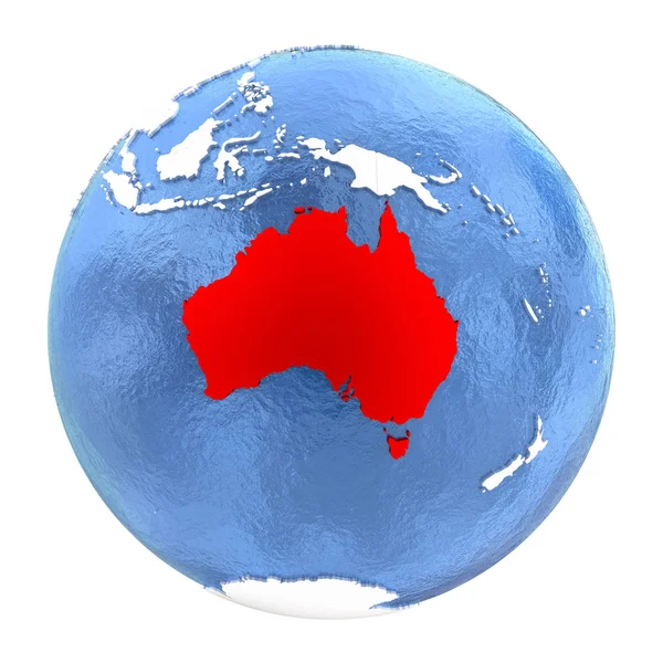
Illustration of Australia highlighted in red on blue globe with transparent oceans. 3D illustration.
Illustration Australia Highlighted Red Blue Globe Transparent Oceans Illustration — Stock Photo, Image
Australia 3d map with national color
Australia 3d map with national color — Stock Photo, Image
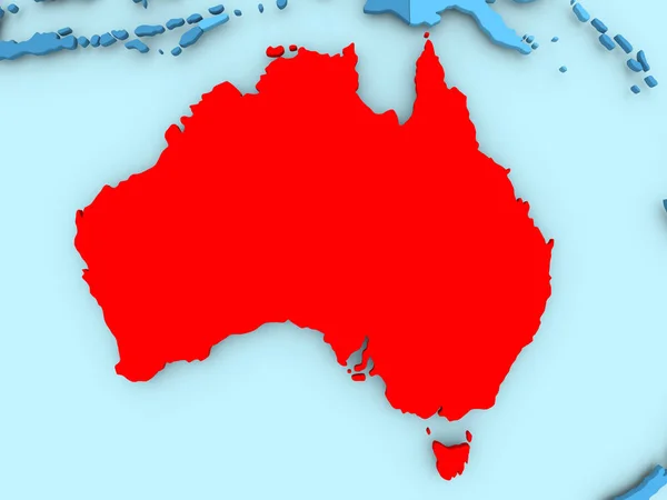
Map of Australia in red
Map of Australia in red — Stock Photo, Image
Australia on bright political globe with embedded flag. 3D illustration isolated on white background.
Australia Bright Political Globe Embedded Flag Illustration Isolated White Background — Stock Photo, Image
Australia on globe isolated
Australia on globe isolated — Stock Photo, Image
Australian continent on Earth
Australian continent on Earth — Stock Photo, Image
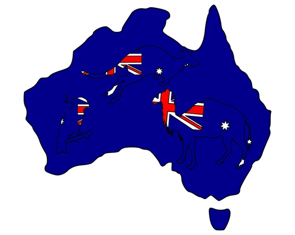
Australian animals
Australian animals — Stock Photo, Image
Australia on planet Earth
Australia on planet Earth — Stock Photo, Image
Australia on planet Earth
Australia on planet Earth — Stock Photo, Image
Close-up of the Australia border area on a satellite map. Capital point. Bevelled edges of the country shape.
Close Australia Border Area Satellite Map Capital Point Bevelled Edges — Stock Photo, Image
Australia on globe with shadow isolated on white background. 3D illustration.
Australia Globe Shadow Isolated White Background Illustration — Stock Photo, Image
Australia illustration. Mainland illustration with text.
Australia Illustration Mainland Illustration Text — Stock Photo, Image
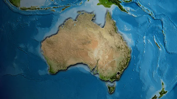
Close-up of asatellite map centered on Australia
Close Asatellite Map Centered Australia — Stock Photo, Image
Three-dimensional map of Australia
Three-dimensional map of Australia — Stock Photo, Image
Australia on blue political 3D globe. 3D illustration isolated on white background.
Australia Blue Political Globe Illustration Isolated White Background — Stock Photo, Image
Map of Australia
Map of Australia — Stock Photo, Image
Australia on planet Earth
Australia on planet Earth — Stock Photo, Image
Country Shape isolated on background of the country of Australia
Country Shape isolated on background of the country of Australia — Stock Photo, Image
Country Shape isolated on background of the country of Australia
Country Shape isolated on background of the country of Australia — Stock Photo, Image
Australia
Australia — Stock Photo, Image
Australia on isolated globe
Australia on isolated globe — Stock Photo, Image
Map of Australia with flag on globe
Map of Australia with flag on globe — Stock Photo, Image
Map of Australia with flag on globe
Map of Australia with flag on globe — Stock Photo, Image
Map of Philippines with flag on globe
Map of Philippines with flag on globe — Stock Photo, Image
A Neon outline of Australia
Neon Outline Australia — Stock Photo, Image
Australia on globe isolated
Australia on globe isolated — Stock Photo, Image
Australia on globe isolated
Australia on globe isolated — Stock Photo, Image
Australia on globe
Australia on globe — Stock Photo, Image
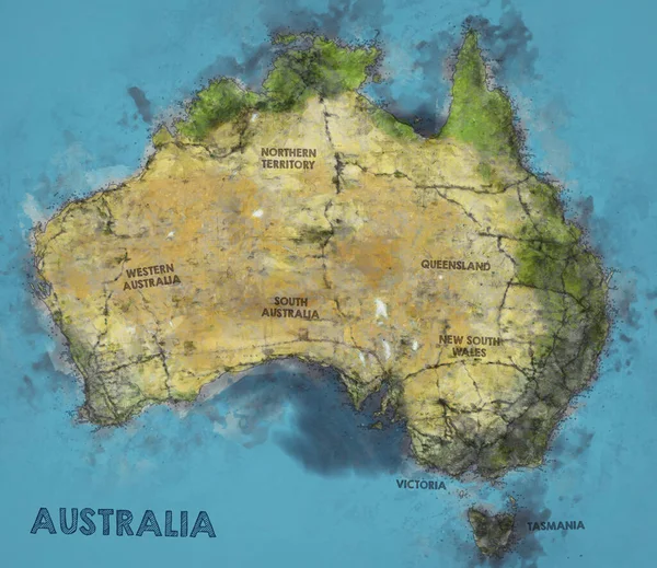
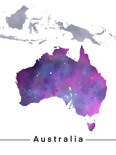
Watercolor Illustration of Australia Map
Watercolor Illustration of Australia Map — Stock Photo, Image
Australia on Earth
Australia on Earth — Stock Photo, Image
Australia on model of planet Earth
Australia on model of planet Earth — Stock Photo, Image
Australia on model of planet Earth
Australia on model of planet Earth — Stock Photo, Image
Australia on globe isolated on white
Australia on globe isolated on white — Stock Photo, Image
Australia. Globe with the shape of the country against zoomed map with its outline isolated on the blue background. topographic relief map
Australia Globe Shape Country Zoomed Map Its Outline Isolated Blue — Stock Photo, Image
Watercolor Painting of Australia Map
Watercolor Painting Australia Map — Stock Photo, Image
3d Illustration of Australia Map Isolated On White Background
3d Illustration of Australia Map Isolated On White Background — Stock Photo, Image
Australia on political globe with embedded flag. 3D illustration isolated on white background.
Australia Political Globe Embedded Flag Illustration Isolated White Background — Stock Photo, Image
Australia. Neighborhood - distant perspective with outline of the country. shapes only - land/ocean mask
Australia Neighborhood Distant Perspective Outline Country Shapes Only Land Ocean — Stock Photo, Image
Australia and islands drawn watercolor clip art
Australia and islands drawn watercolor clip art — Stock Photo, Image
Australia on simple political globe. 3D illustration.
Australia Simple Political Globe Illustration — Stock Photo, Image
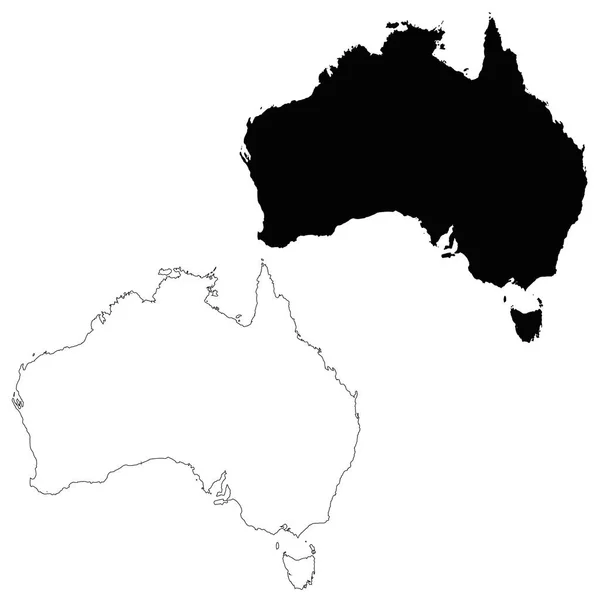
Vector map Australia. Isolated vector Illustration. Black on White background. EPS 10 Illustration.
Vector Map Australia Isolated Vector Illustration Black White Background Eps — Stock Photo, Image
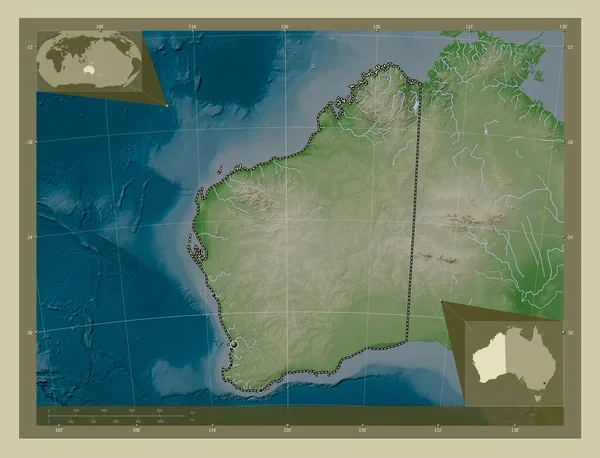
Western Australia, state of Australia. Elevation map colored in wiki style with lakes and rivers. Locations of major cities of the region. Corner auxiliary location maps
Western Australia State Australia Elevation Map Colored Wiki Style Lakes — Stock Photo, Image
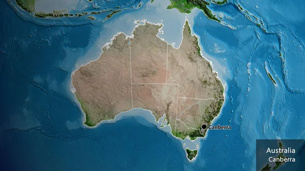
Close-up of the Australia border area and its regional borders on a satellite map. Capital point. Outline around the country shape. English name of the country and its capital
Close Australia Border Area Its Regional Borders Satellite Map Capital — Stock Photo, Image
Australia map
Australia map — Stock Photo, Image
Australia map on a white background
Australia map on a white background — Stock Photo, Image
Australia map
Australia map — Stock Photo, Image
Map of Australia on grey political globe
Map of Australia on grey political globe — Stock Photo, Image
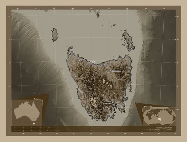
Tasmania, state of Australia. Elevation map colored in sepia tones with lakes and rivers. Locations and names of major cities of the region. Corner auxiliary location maps
Tasmania State Australia Elevation Map Colored Sepia Tones Lakes Rivers — Stock Photo, Image
Australia on Earth isolated on white
Australia on Earth isolated on white — Stock Photo, Image

Australian Map Images: High-Quality Visuals for Your Next Project

Are you searching for stunning visual aids that showcase the beauty of Australia? Look no further because our collection of Australia map images is here to help you in your creative endeavors! Whether you are working on a website, brochure, or presentation, our varied stock images are sure to captivate your audience.

Types of Images Available

We offer an extensive collection of images of Australia’s map in different styles and formats. You can find vector illustrations, high-resolution photographs, and detailed maps of cities and states. Our stock images range from classic to contemporary designs, so you can choose the perfect visual representation for your project.

Furthermore, we provide images in various color schemes, including vibrant, minimalistic, and retro. You can explore our collection and find the ideal image that compliments the tone of your project.

Where to Use Our Images

Our high-quality Australian map images are versatile and can be used in various mediums and platforms. Use our photographs to create engaging banners for your social media campaigns or incorporate vector images into your website design and user interface. Imbue your marketing materials with an Australian flair using our map images and evoke a sense of adventure and inspiration in your audience.

You can also use our map images in print materials, such as brochures and flyers, to showcase the diverse regions and attractions of Australia. Our images can help promote tourism or convey information about the climate and geography of different locations in Australia.

Using Images Effectively

While images can improve the visual appeal of your project, it's crucial to use them properly. Here are some tips on how to use our Australia map images effectively:

  • Choose an image that aligns with the theme and the message of your project.
  • Use high-resolution images to ensure that the quality is not compromised when scaled for different mediums.
  • Place the images in an appropriate location in your design, ensuring that they don't interfere with the text or overall layout of the project.
  • Consider the backgrounds, fonts, and colors that compliment the image and create a harmonious design.
  • Make sure that the images are optimized for web and print purposes and don't impact the website's loading speed.
  • Ensure that the images you use are licensed and approved for commercial use.

Conclusion

In conclusion, our collection of Australian map images offers an array of options for your next creative project. From high-quality photographs to intricate vector illustrations, our images can help you promote, showcase, or inform your audience about the beauty and culture of Australia. With our tips and tricks, you can use our images effectively and create a memorable impact on your audience.