Colonialism Stock Photos

100,000 Colonialism pictures are available under a royalty-free license

  • Best Match
  • Fresh
  • Popular
1-100 of 100,000
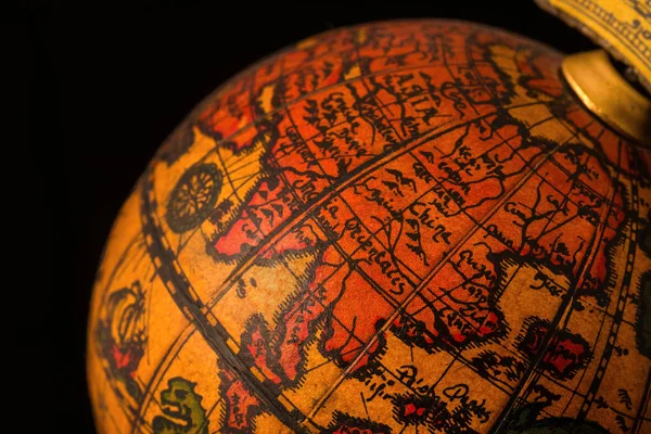
Ancient globe replica with map of East Asia countries on Eastern Hemisphere during the Age of Discovery
Ancient Globe Replica Map East Asia Countries Eastern Hemisphere Age — Stock Photo, Image
Sokoto
Sokoto — Stock Photo, Image
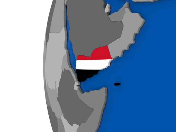
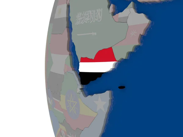
Yemen on globe
Yemen on globe — Stock Photo, Image
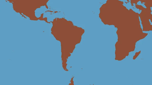
Pattern map of the area around the South American tectonic plate. 3D rendering
Pattern Map Area South American Tectonic Plate Rendering — Stock Photo, Image
Africa 3D White Map
Africa 3D White Map — Stock Photo, Image
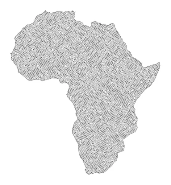
Polygonal Network Mesh High Resolution Raster Map of Africa Abstractions
Polygonal Network Mesh High Resolution Raster Map of Africa Abstractions — Stock Photo, Image
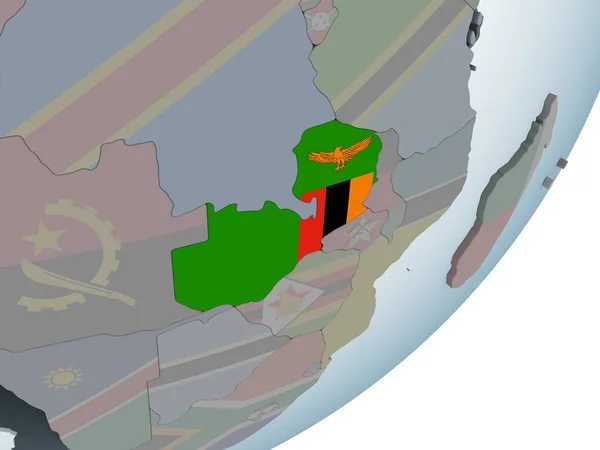
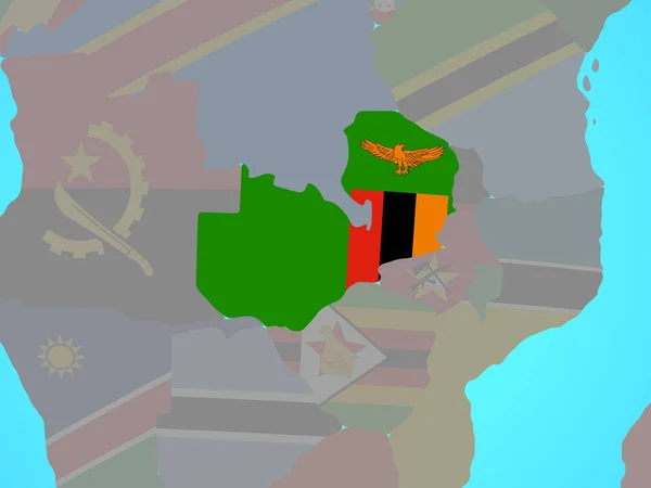
Zambia with embedded national flag on simple political 3D globe. 3D illustration.
Zambia Embedded National Flag Simple Political Globe Illustration — Stock Photo, Image
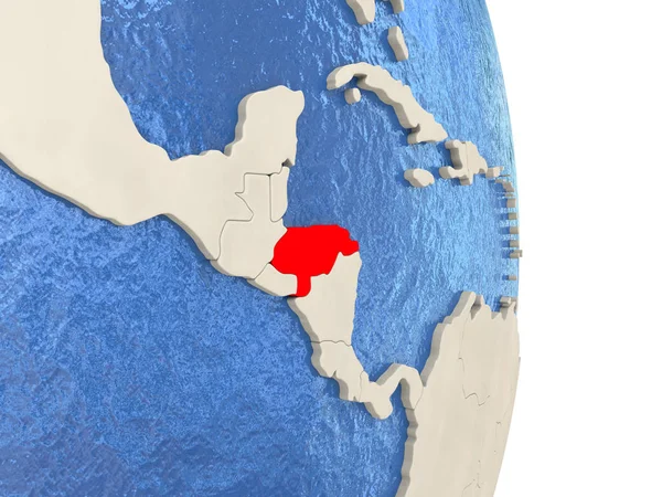
Honduras on model of political globe
Honduras on model of political globe — Stock Photo, Image
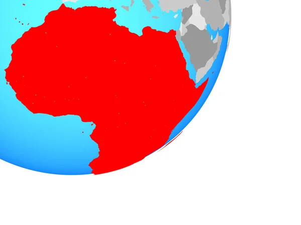
East Africa on simple globe. 3D illustration.
East Africa Simple Globe Illustration — Stock Photo, Image
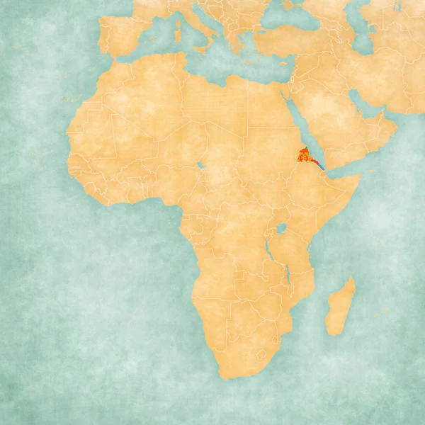
Map of Africa - Eritrea
Map of Africa - Eritrea — Stock Photo, Image
Angola Independence Day map 3d illustration.
Angola Independence Day Map Illustration — Stock Photo, Image
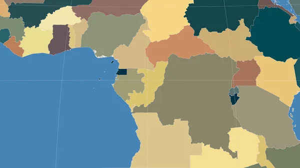
Botswana and its neighborhood. Distant oblique perspective - shape glowed. color map of administrative divisions
Botswana Its Neighborhood Distant Oblique Perspective Shape Glowed Color Map — Stock Photo, Image
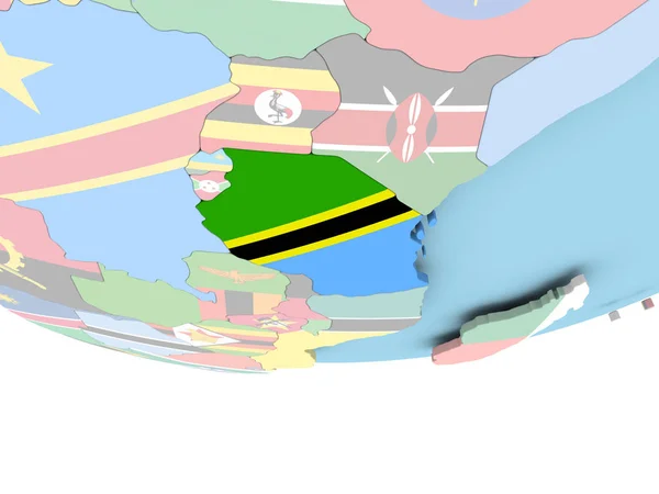
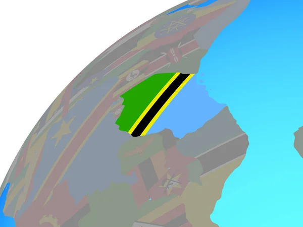
Map of Tanzania with flag on globe
Map of Tanzania with flag on globe — Stock Photo, Image
Namibia outlined on the administrative orthographic map. Capital, administrative borders and graticule
Namibia Outlined Administrative Orthographic Map Capital Administrative Borders Graticule — Stock Photo, Image
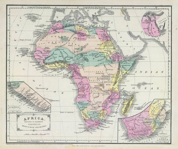
A colored historic 18th-19th century map of Africa
Colored Historic 18Th 19Th Century Map Africa — Stock Photo, Image
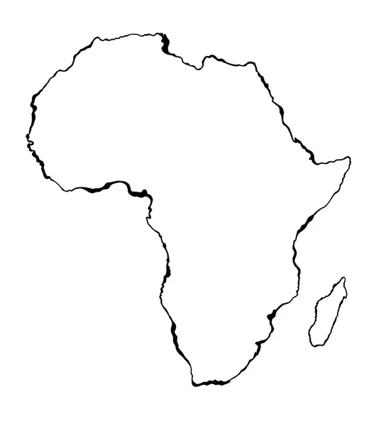
Hand drawn sketched Africa map (originals, no tracing)
Hand Drawn Sketched Africa Map Originals Tracing — Stock Photo, Image
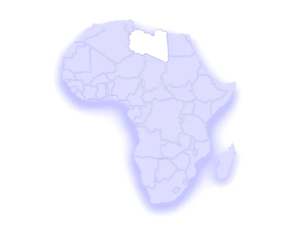
Map of worlds. Libya.
Map of worlds. Libya. — Stock Photo, Image
Congo Brazzaville and its neighborhood. Distant oblique perspective - no outline. color map of administrative divisions
Congo Brazzaville Its Neighborhood Distant Oblique Perspective Outline Color Map — Stock Photo, Image
Lesotho on political globe with embedded flag. 3D illustration.
Lesotho Political Globe Embedded Flag Illustration — Stock Photo, Image
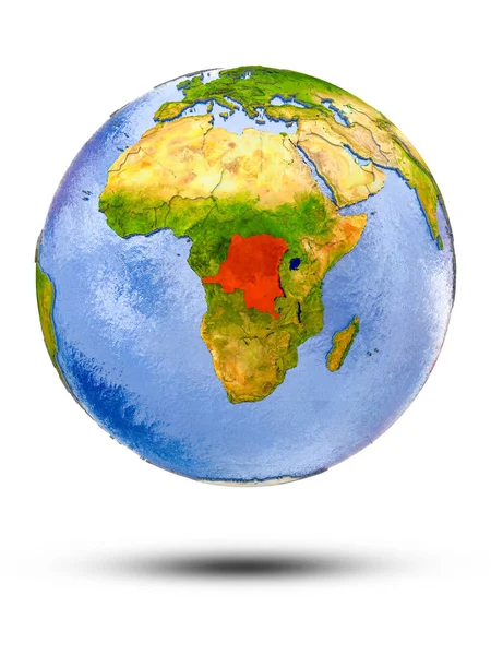
Democratic Republic of Congo on globe with shadow isolated on white background. 3D illustration.
Democratic Republic Congo Globe Shadow Isolated White Background Illustration — Stock Photo, Image
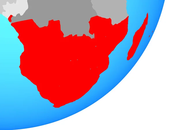
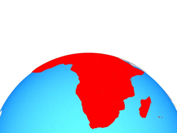
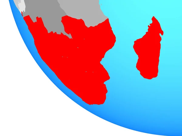
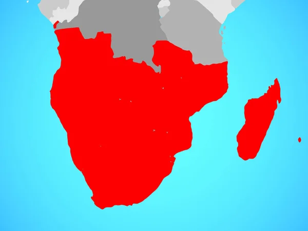
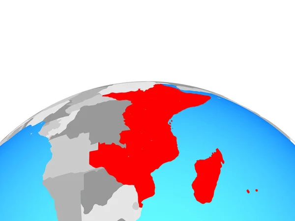
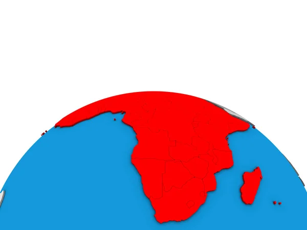
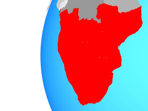
Southern Africa on blue political globe. 3D illustration.
Southern Africa Blue Political Globe Illustration — Stock Photo, Image
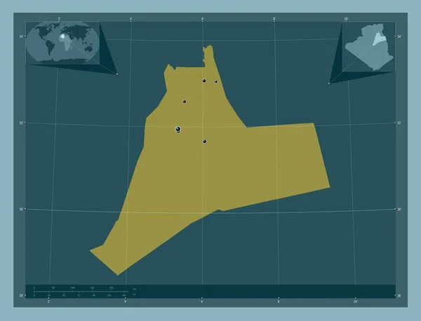
Ouargla, province of Algeria. Solid color shape. Locations of major cities of the region. Corner auxiliary location maps
Ouargla Province Algeria Solid Color Shape Locations Major Cities Region — Stock Photo, Image
Illustration on isolated background of the continent of Africa
Illustration on isolated background of the continent of Africa — Stock Photo, Image
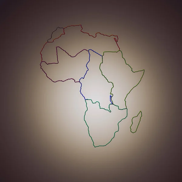
State of Africa on a brown background
State of Africa on a brown background — Stock Photo, Image
Africa on political globe. 3D illustration.
Africa Political Globe Illustration — Stock Photo, Image
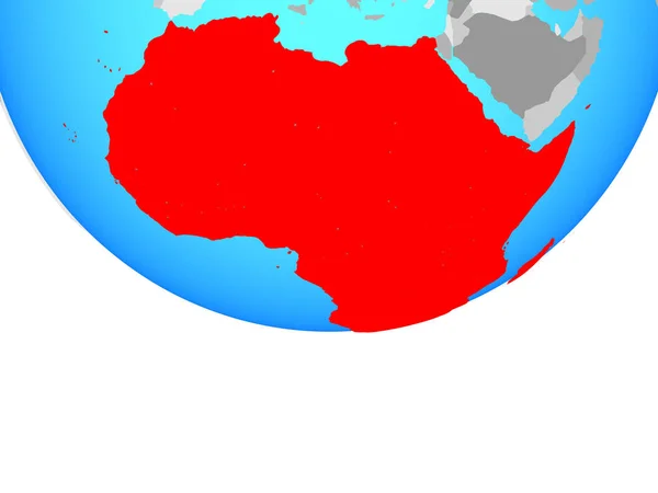
Africa on blue political globe. 3D illustration.
Africa Blue Political Globe Illustration — Stock Photo, Image
Africa on blue political globe. 3D illustration.
Africa Blue Political Globe Illustration — Stock Photo, Image
Map of Africa - isolated
Map of Africa - isolated — Stock Photo, Image
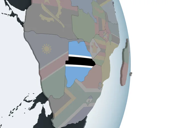
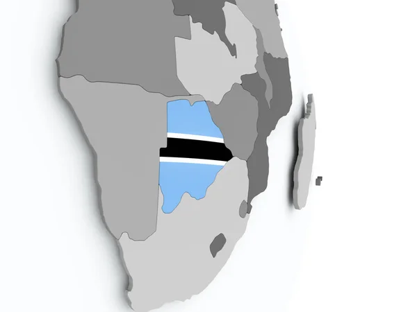
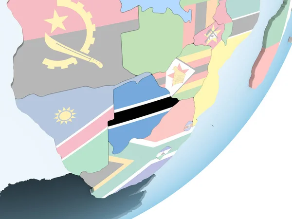
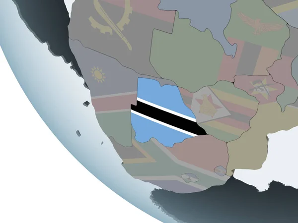
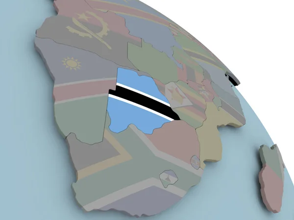
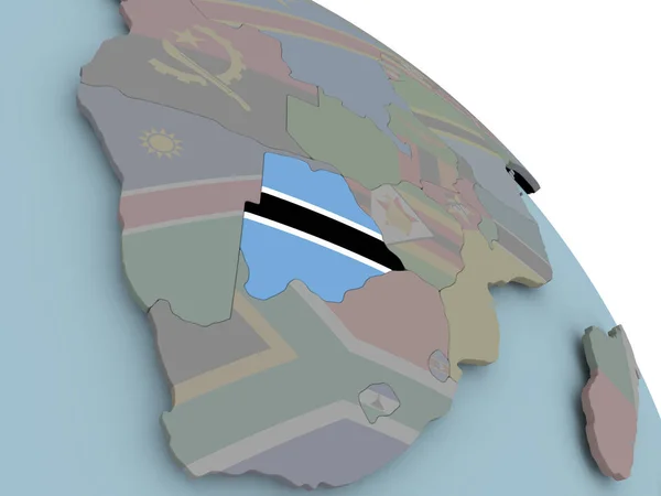
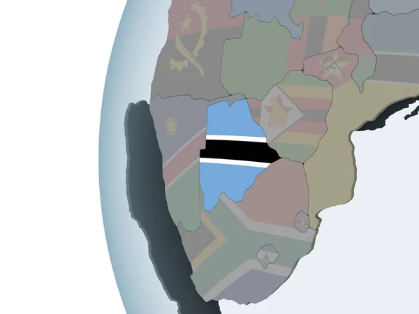
Botswana on political globe with embedded flag. 3D illustration.
Botswana Political Globe Embedded Flag Illustration — Stock Photo, Image
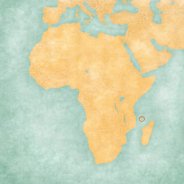
Map of Africa - Comoros
Map of Africa - Comoros — Stock Photo, Image
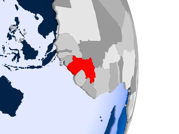
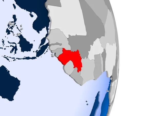
Guinea in red on model of political globe with transparent oceans. 3D illustration.
Guinea Red Model Political Globe Transparent Oceans Illustration — Stock Photo, Image
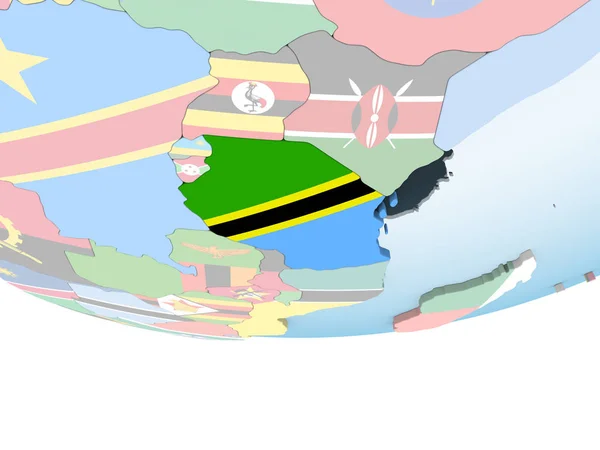
Tanzania with embedded national flag on globe. 3D illustration.
Tanzania Embedded National Flag Globe Illustration — Stock Photo, Image
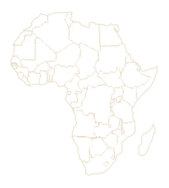
Outline map of Africa and its countries over a pale background
Outline Map Africa Its Countries Pale Background — Stock Photo, Image
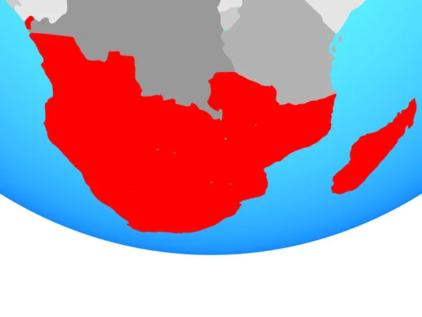
Southern Africa on simple globe. 3D illustration.
Southern Africa Simple Globe Illustration — Stock Photo, Image
Sierra Leone with flag on globe
Sierra Leone with flag on globe — Stock Photo, Image
Africa on simple political globe. 3D illustration.
Africa Simple Political Globe Illustration — Stock Photo, Image
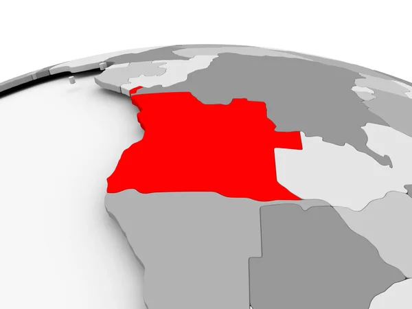
Angola on grey globe
Angola on grey globe — Stock Photo, Image
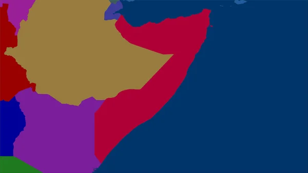
Somalia area on the administrative divisions map in the stereographic projection - raw composition of raster layers
Somalia Area Administrative Divisions Map Stereographic Projection Raw Composition Raster — Stock Photo, Image
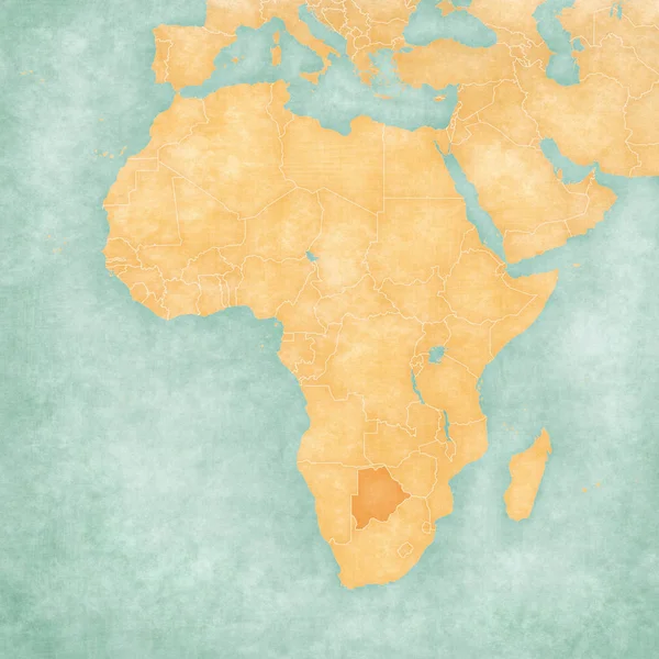
Map of Africa - Botswana
Map of Africa - Botswana — Stock Photo, Image
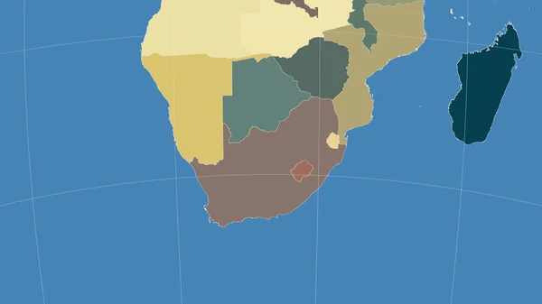
South Africa and its neighborhood. Distant oblique perspective - no outline. color map of administrative divisions
South Africa Its Neighborhood Distant Oblique Perspective Outline Color Map — Stock Photo, Image
Flags
Flags — Stock Photo, Image
Zambia on political globe with embedded flag. 3D illustration.
Zambia Political Globe Embedded Flag Illustration — Stock Photo, Image
Mauritania on globe
Mauritania on globe — Stock Photo, Image
Southern Africa on blue political globe. 3D illustration.
Southern Africa Blue Political Globe Illustration — Stock Photo, Image
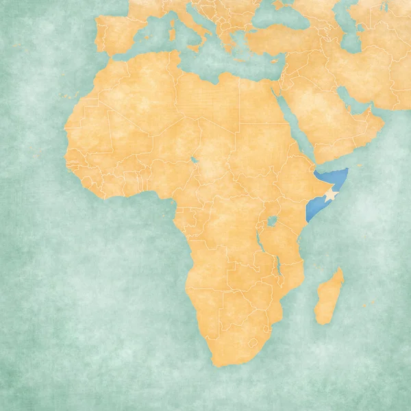
Map of Africa - Somalia
Map of Africa - Somalia — Stock Photo, Image
Africa on simple globe. 3D illustration.
Africa Simple Globe Illustration — Stock Photo, Image
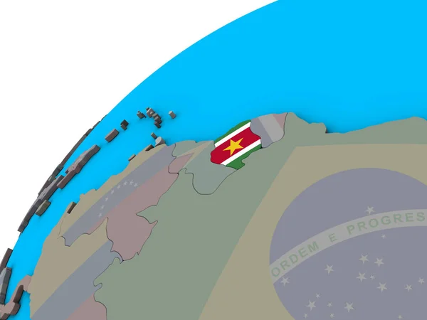
Suriname with national flag on 3D globe. 3D illustration.
Suriname National Flag Globe Illustration — Stock Photo, Image
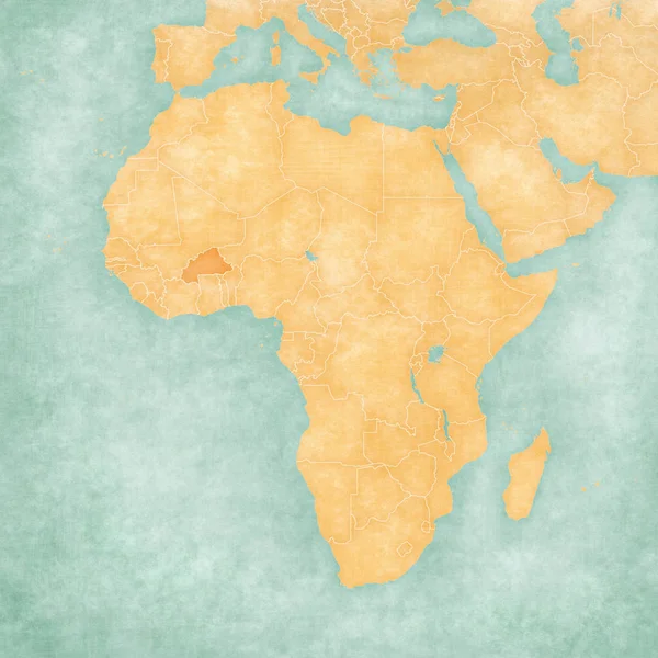
Map of Africa - Burkina Faso
Map of Africa - Burkina Faso — Stock Photo, Image
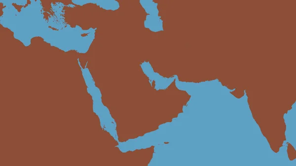
Pattern map of the area around the Arabian tectonic plate. 3D rendering
Pattern Map Area Arabian Tectonic Plate Rendering — Stock Photo, Image
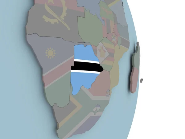
Botswana with embedded national flag on political globe. 3D illustration.
Botswana Embedded National Flag Political Globe Illustration — Stock Photo, Image
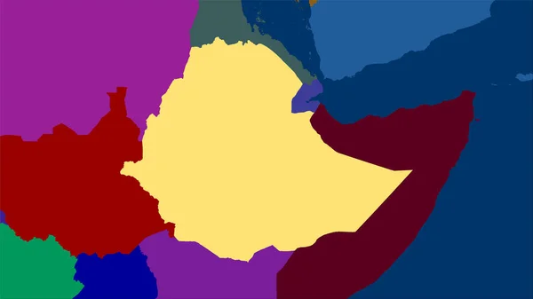
Ethiopia area on the administrative divisions map in the stereographic projection - raw composition of raster layers
Ethiopia Area Administrative Divisions Map Stereographic Projection Raw Composition Raster — Stock Photo, Image
Map of Botswana with flag
Map of Botswana with flag — Stock Photo, Image
Map of the Africa in the colors of the flag with administrative divisions blank
Map Africa Colors Flag Administrative Divisions Blank — Stock Photo, Image
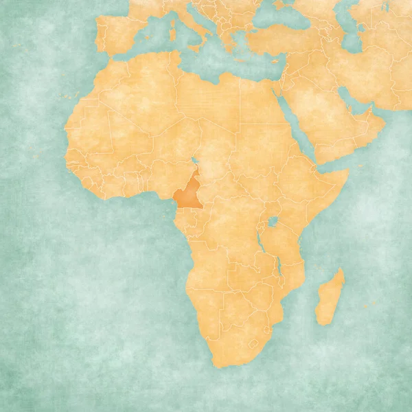
Map of Africa - Cameroon
Map of Africa - Cameroon — Stock Photo, Image
East Africa on political globe. 3D illustration.
East Africa Political Globe Illustration — Stock Photo, Image
Malawi on political globe with shadow and translucent oceans isolated on white background. 3D illustration.
Malawi Political Globe Shadow Translucent Oceans Isolated White Background Illustration — Stock Photo, Image
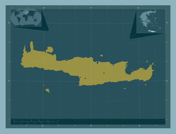
Crete, decentralized administration of Greece. Solid color shape. Locations of major cities of the region. Corner auxiliary location maps
Crete Decentralized Administration Greece Solid Color Shape Locations Major Cities — Stock Photo, Image
Old map. Engraving image
Old Map Engraving Image — Stock Photo, Image
Africa on blue political globe. 3D illustration.
Africa Blue Political Globe Illustration — Stock Photo, Image
Southern Africa on simple political globe. 3D illustration.
Southern Africa Simple Political Globe Illustration — Stock Photo, Image
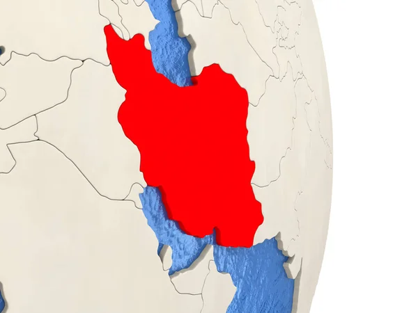
Iran on model of political globe
Iran on model of political globe — Stock Photo, Image
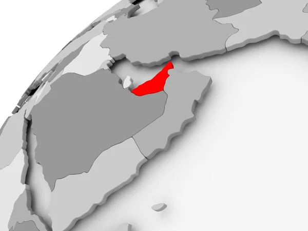
United Arab Emirates on grey political globe
United Arab Emirates on grey political globe — Stock Photo, Image
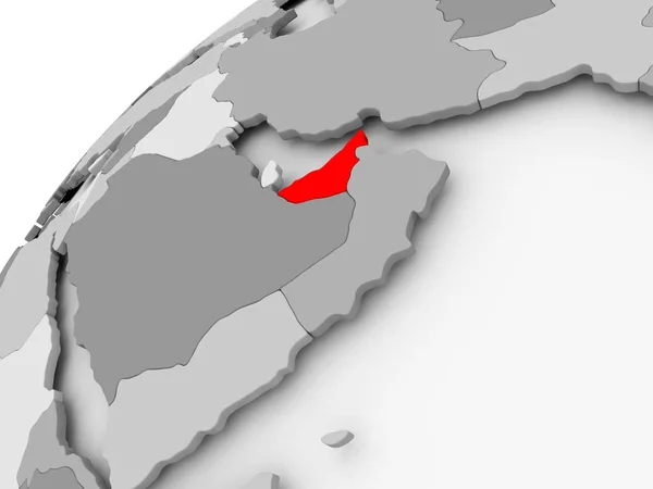
United Arab Emirates on grey political globe
United Arab Emirates on grey political globe — Stock Photo, Image
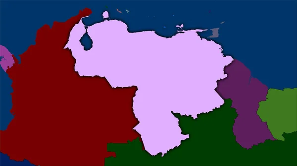
Venezuela area on the administrative divisions map in the stereographic projection - raw composition of raster layers with dark glowing outline
Venezuela Area Administrative Divisions Map Stereographic Projection Raw Composition Raster — Stock Photo, Image
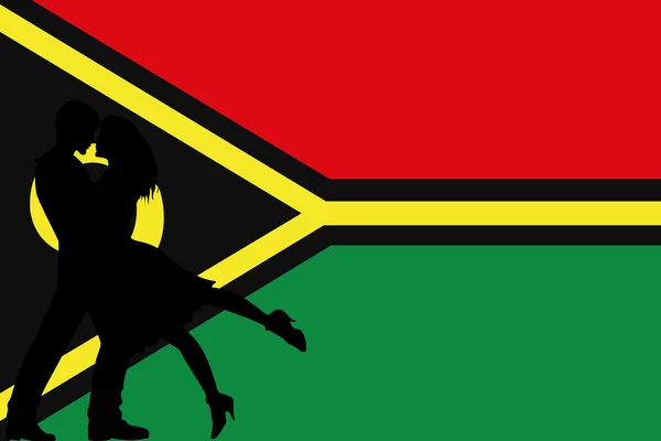
An Illustrated flag of Vanuatu
An Illustrated flag of Vanuatu — Stock Photo, Image
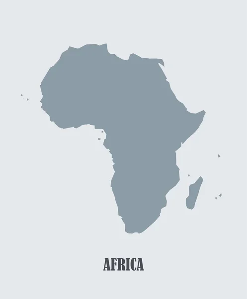
Africa map silhouette illustration
Africa Map Silhouette Illustration — Stock Photo, Image
Tanzania on bright political globe with embedded flag. 3D illustration.
Tanzania Bright Political Globe Embedded Flag Illustration — Stock Photo, Image
Zambia with national flag on blue political globe. 3D illustration.
Zambia National Flag Blue Political Globe Illustration — Stock Photo, Image
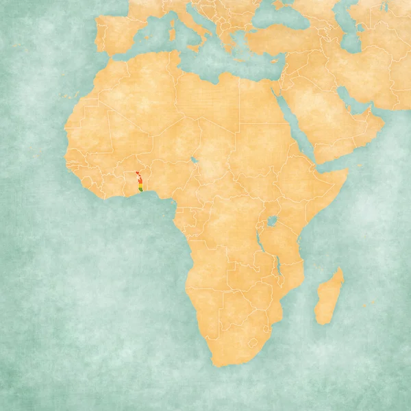
Map of Africa - Togo
Map of Africa - Togo — Stock Photo, Image
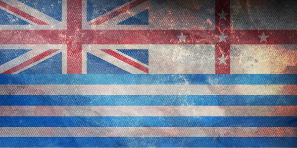
Top view of Murray River Lower , Australia retro flag with grunge texture. Australian travel and patriot concept. no flagpole. Plane layout, design. Flag background
Top View Murray River Lower Australia Retro Flag Grunge Texture — Stock Photo, Image
Botswana on bright political globe with embedded flag. 3D illustration.
Botswana Bright Political Globe Embedded Flag Illustration — Stock Photo, Image
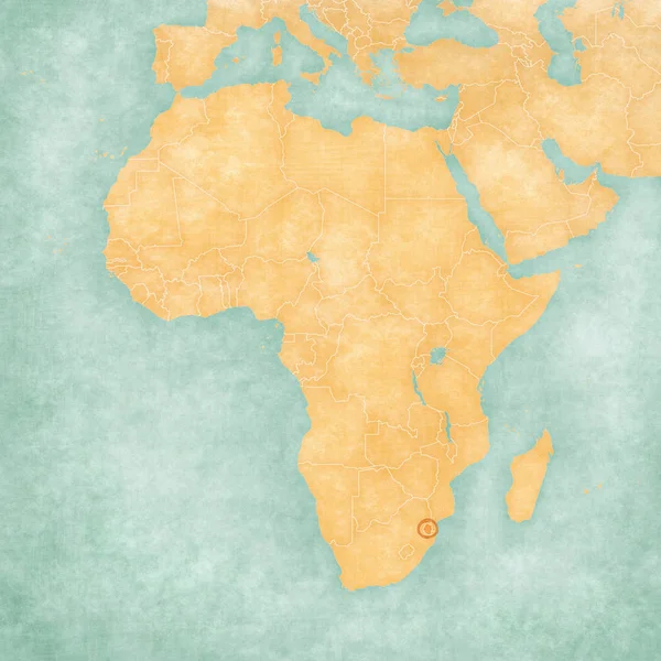
Map of Africa - Swaziland
Map of Africa - Swaziland — Stock Photo, Image
Southern Cone on blue political globe. 3D illustration.
Southern Cone Blue Political Globe Illustration — Stock Photo, Image
Old map. Retro image
Old Map Retro Image — Stock Photo, Image
Botswana on political globe with embedded flag. 3D illustration.
Botswana Political Globe Embedded Flag Illustration — Stock Photo, Image
Eritrea with national flag on simple blue political globe. 3D illustration.
Eritrea National Flag Simple Blue Political Globe Illustration — Stock Photo, Image
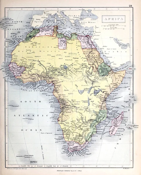
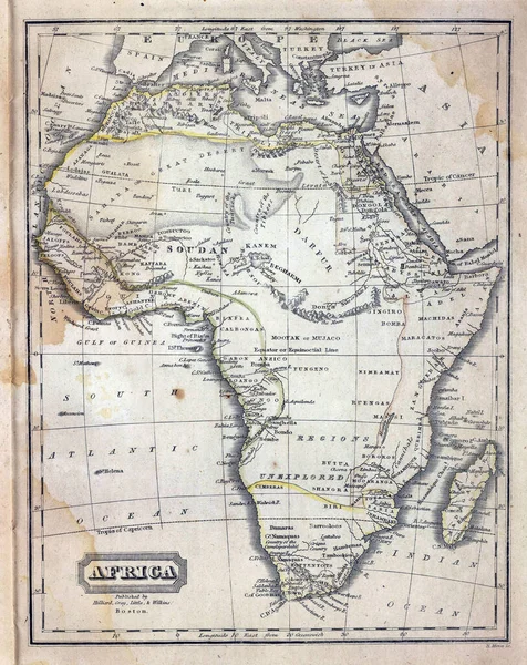
The 18-19th century old vintage map of Africa
19Th Century Old Vintage Map Africa — Stock Photo, Image
Map of Africa - Somalia
Map of Africa - Somalia — Stock Photo, Image
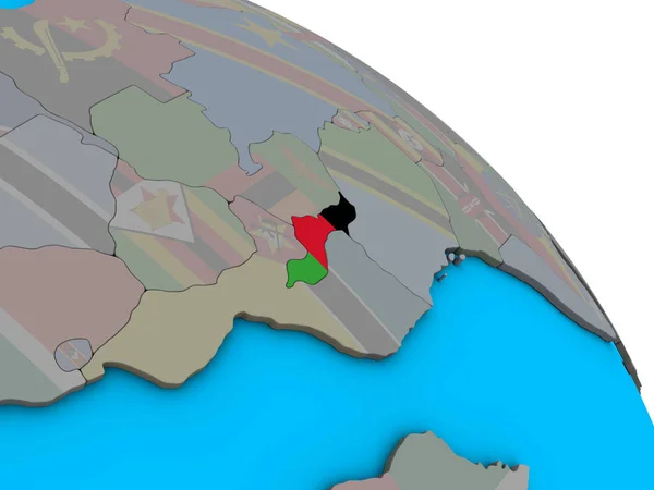
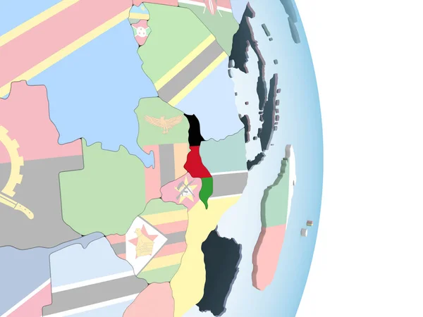
Malawi with embedded national flag on simple blue political 3D globe. 3D illustration.
Malawi Embedded National Flag Simple Blue Political Globe Illustration — Stock Photo, Image
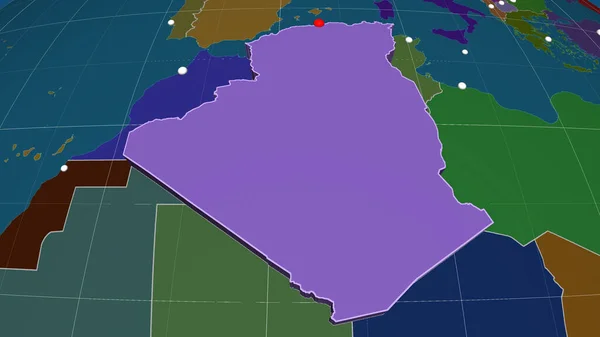
Algeria extruded on the administrative orthographic map. Capital, administrative borders and graticule
Algeria Extruded Administrative Orthographic Map Capital Administrative Borders Graticule — Stock Photo, Image
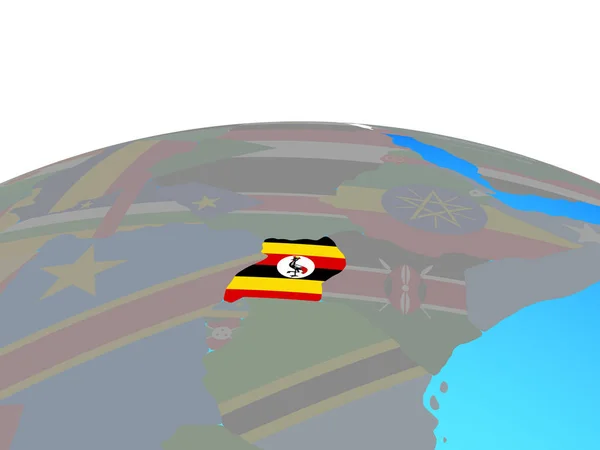
Uganda with national flag on political globe. 3D illustration.
Uganda National Flag Political Globe Illustration — Stock Photo, Image
Map of Botswana with flag
Map of Botswana with flag — Stock Photo, Image
Map of Botswana with flag
Map of Botswana with flag — Stock Photo, Image
Map 3D Earth with forms and colors
Map 3D Earth with forms and colors — Stock Photo, Image
South Sudan. Neighborhood - distant perspective without outline. satellite imagery
South Sudan Neighborhood Distant Perspective Outline Satellite Imagery — Stock Photo, Image
Map of worlds. Mali.
Map of worlds. Mali. — Stock Photo, Image
Malawi on bright political globe with embedded flag. 3D illustration.
Malawi Bright Political Globe Embedded Flag Illustration — Stock Photo, Image
Botswana on bright political globe with embedded flag. 3D illustration.
Botswana Bright Political Globe Embedded Flag Illustration — Stock Photo, Image
Africa on political 3D globe. 3D illustration.
Africa Political Globe Illustration — Stock Photo, Image
Sudan on blue political globe. 3D illustration.
Sudan Blue Political Globe Illustration — Stock Photo, Image
Botswana on political globe with embedded flag. 3D illustration.
Botswana Political Globe Embedded Flag Illustration — Stock Photo, Image
Yemen with national flag
Yemen with national flag — Stock Photo, Image
Map of Africa - Republic of the Congo
Map of Africa - Republic of the Congo — Stock Photo, Image
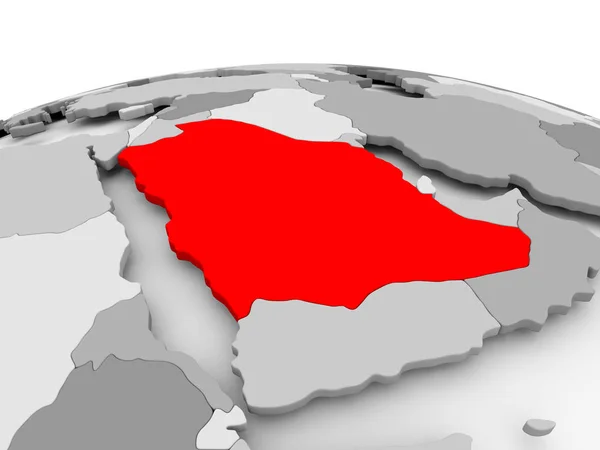
Saudi Arabia on grey globe
Saudi Arabia on grey globe — Stock Photo, Image
Southern Africa on blue political globe. 3D illustration.
Southern Africa Blue Political Globe Illustration — Stock Photo, Image
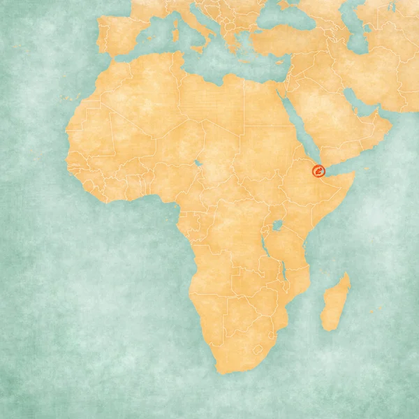
Map of Africa - Djibouti
Map of Africa - Djibouti — Stock Photo, Image
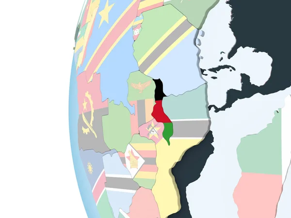
Malawi on bright political globe with embedded flag. 3D illustration.
Malawi Bright Political Globe Embedded Flag Illustration — Stock Photo, Image
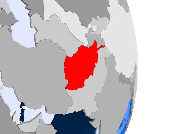
Afghanistan in red on model of political globe with transparent oceans. 3D illustration.
Afghanistan Red Model Political Globe Transparent Oceans Illustration — Stock Photo, Image

Related image searches

Colonialism Images: A Search Page Overview

Are you searching for powerful visuals to support your projects on colonialism? Look no further than our stock images collection. We offer a wide range of high-quality photos, illustrations, and vectors that showcase the impact of colonialism on different cultures and nations.

The Types of Images Available

Our collection includes various types of images related to colonialism. You can find historical pictures of colonial structures, such as forts, churches, and government buildings. You can also choose from images that depict the impact of colonialism on landscapes, environments, and native people's lives.

In addition, we offer illustrations that represent colonialism's ideology and propaganda. These images often showcase narratives of superiority, cultural assimilation, and exoticism. You can also find images that illustrate resistance and anticolonial movements.

The Formats and Usage of Images

All our colonialism images are available in three main formats: JPG, AI, and EPS. You can easily download them and use them for various purposes, such as blogs, magazines, social media, and educational materials. We also offer extended licenses for commercial use.

However, before using any image, it's essential to consider the context, the target audience, and the message you want to convey. Using colonialism images appropriately requires sensitivity, respect, and ethical considerations. It's crucial to avoid harmful stereotypes, misrepresentations, or glorification of colonizers.

Practical Tips on Using Colonialism Images

Here are some practical tips to help you use colonialism images effectively:

- Choose images that align with your project's message and purpose. Make sure they are relevant, authentic, and accurate. - Avoid using images that reinforce colonial stereotypes or inaccuracies. Research the cultural and historical context of the images before using them. - Use images that empower rather than exoticize or dehumanize native cultures or peoples. Highlight their achievements, struggles, and cultural expressions. - Consider the ethics of using colonialism images in commercial projects. Avoid exploiting or profiting from the representation of marginalized people or cultures. - Get permission and attribution for using images wherever necessary. Respect the rights of the creators and the subjects depicted in the images.

Colonialism Images: Your Window to the Past and Present

Our colonialism stock images collection is not just a visual resource. It's also a window to understanding the past and present impact of colonialism on different regions and communities worldwide. By using these images, you can shed light on hidden histories, decolonize narratives, and promote intercultural awareness and understanding.

New Keywords

Here are some related keywords that can broaden your search for colonialism images: imperialism, exploitation, resistance, cultural appropriation, power dynamics.

Additional Keywords

Here are some additional keywords that can help you choose the right colonialism images for your project: history, anthropology, decolonization, representation, diversity, social justice.

In conclusion, our colonialism images collection is a valuable resource for anyone interested in exploring the complexities of colonialism and its aftermath. By using these images, you can showcase the beauty, resilience, and diversity of the world's cultures and peoples while being respectful and ethical. Browse our collection now and find the perfect image for your project!