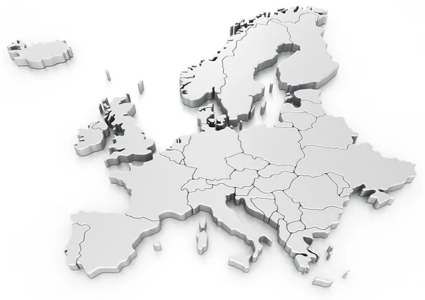
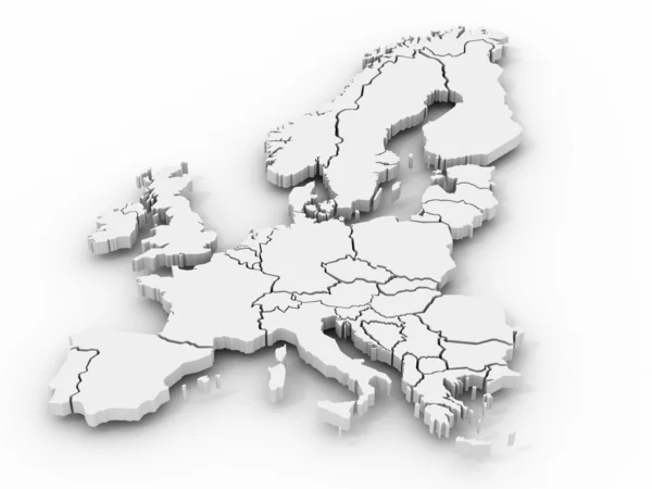
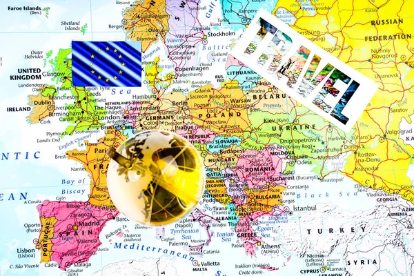
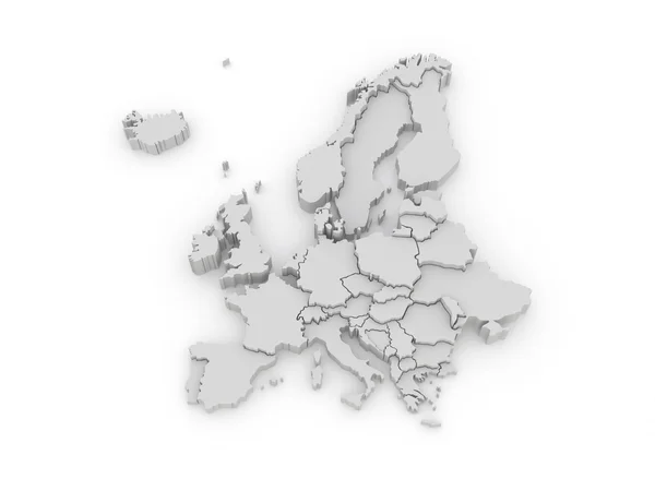
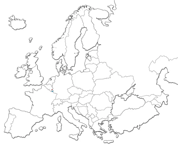
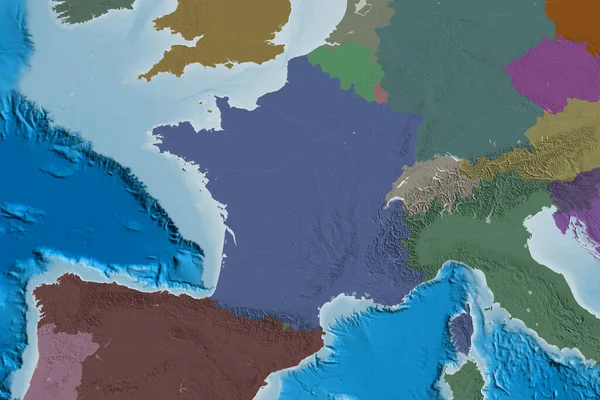
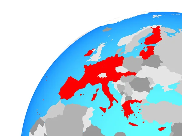
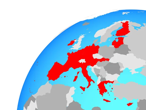
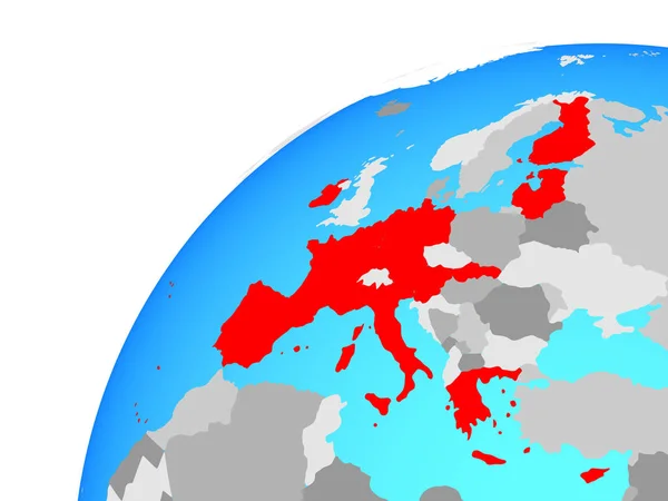
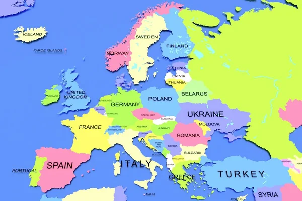
Euro map
Euro map — Stock Photo, Image
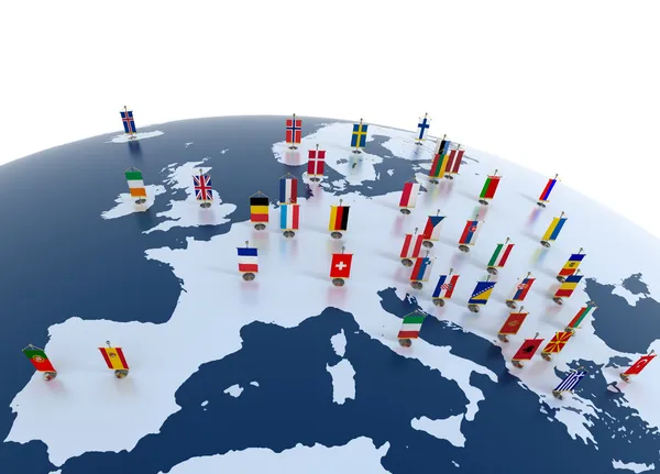
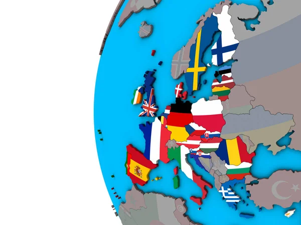
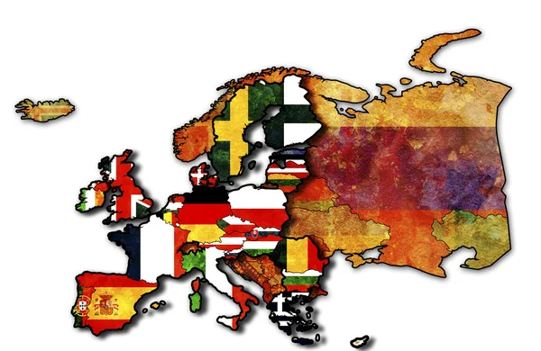
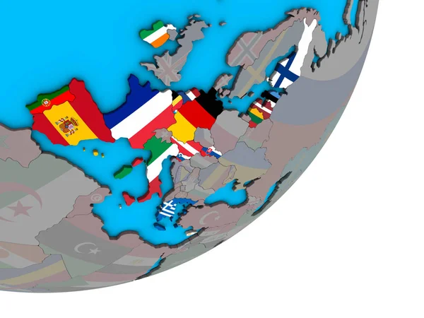
European continent marked with flags
European continent marked with flags — Stock Photo, Image
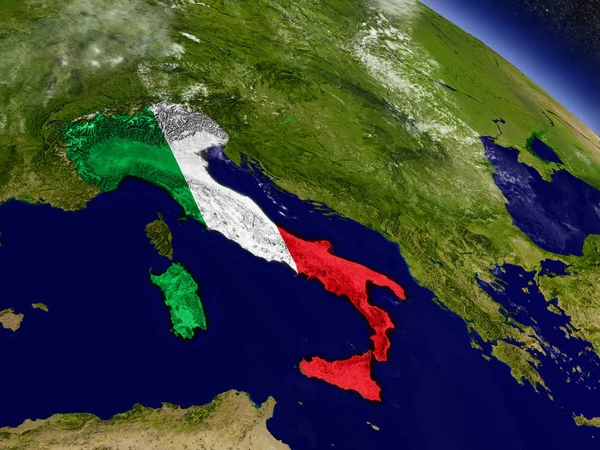
Italy with embedded flag on Earth
Italy with embedded flag on Earth — Stock Photo, Image
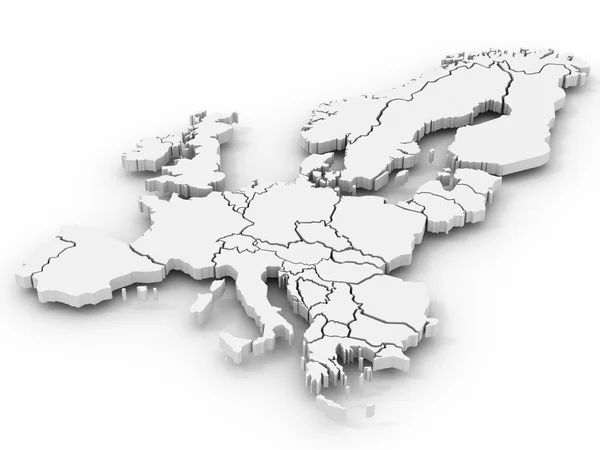
Map of europe
Map of europe — Stock Photo, Image
Europe
Europe — Stock Photo, Image
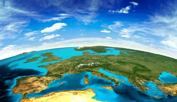
Europe landscape from space
Europe landscape from space — Stock Photo, Image
Map of Europe
Map of Europe — Stock Photo, Image
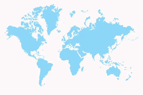
World map
World map — Stock Photo, Image
Businesswoman on blurred background using globe network hologram with Europe map 3D rendering
Businesswoman Blurred Background Using Globe Network Hologram Europe Map Rendering — Stock Photo, Image
Map of europe
Map of europe — Stock Photo, Image
Europe map.Blurred abstract background
Europe Map Blurred Abstract Background — Stock Photo, Image
Graphic designer on blurred background using globe network hologram with America Usa map 3D rendering
Graphic Designer Blurred Background Using Globe Network Hologram America Usa — Stock Photo, Image
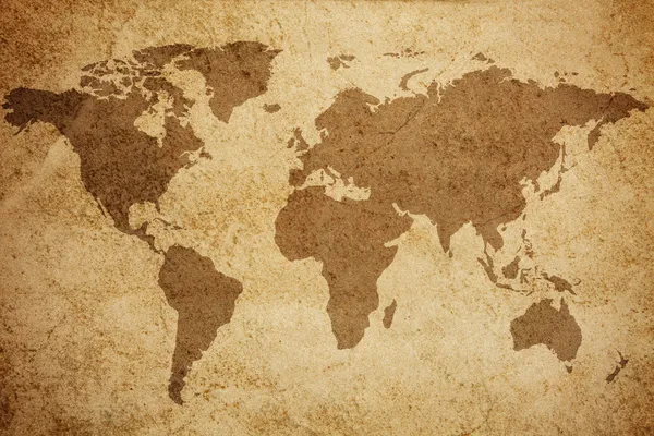
World map texture background
World map texture background — Stock Photo, Image
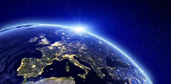
City lights - Europe
City lights - Europe — Stock Photo, Image
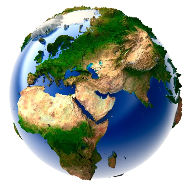
Miniature real Earth
Miniature real Earth — Stock Photo, Image
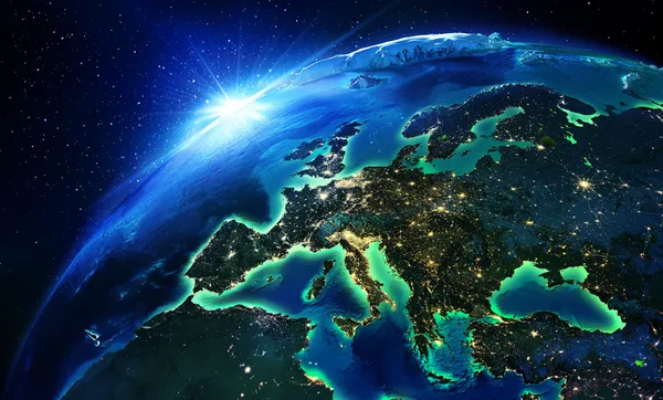
Land area in Europe the night
Land area in Europe the night — Stock Photo, Image
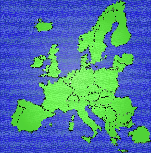
Europe map
Europe map — Stock Photo, Image
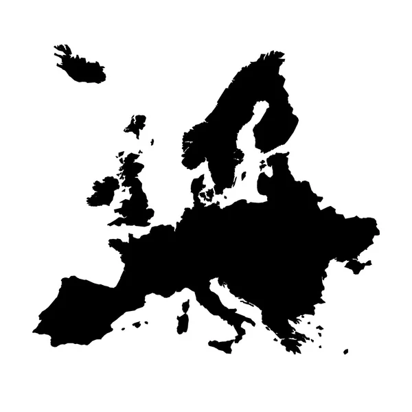
Map of europe
Map of europe — Stock Photo, Image
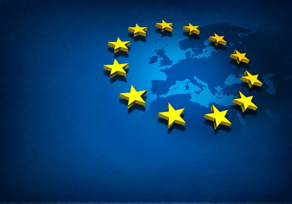
European Union
European Union — Stock Photo, Image
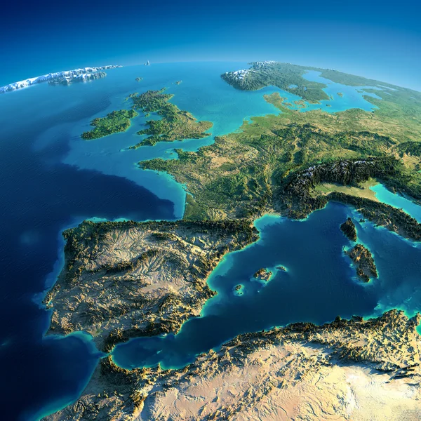
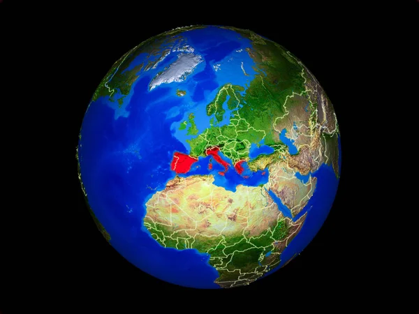
Detailed Earth. Spain and the Mediterranean Sea
Detailed Earth. Spain and the Mediterranean Sea — Stock Photo, Image
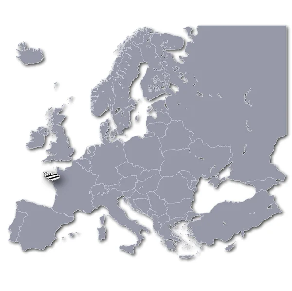
Europe map with brittany
Europe Map Brittany — Stock Photo, Image
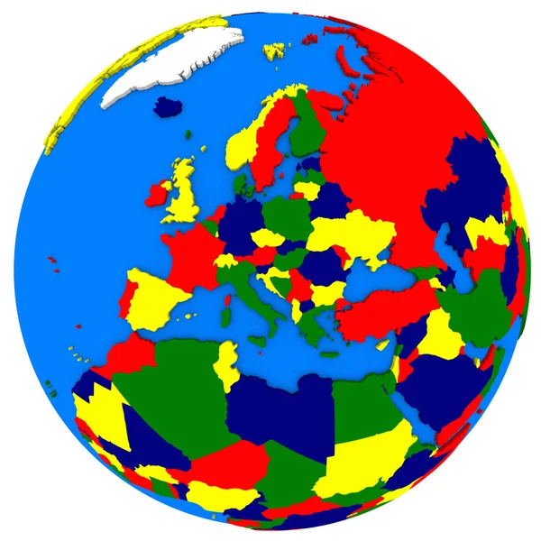
Europe on Earth political map
Europe on Earth political map — Stock Photo, Image
Map of Europe, digitally generated image
Map Europe Digitally Generated Image — Stock Photo, Image
European Union
European Union — Stock Photo, Image
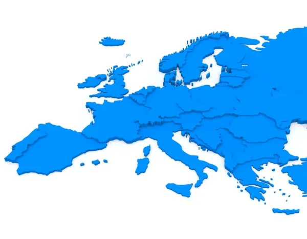
A 3D rendering of t map of Europe on blue isolated background
Rendering Map Europe Blue Isolated Background — Stock Photo, Image
World Map Illustration
World Map Illustration — Stock Photo, Image
Europe map
Europe map — Stock Photo, Image
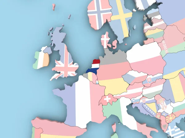
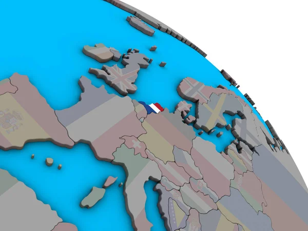
Map of Netherlands with flag on globe
Map of Netherlands with flag on globe — Stock Photo, Image
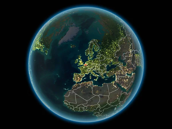
Belgium in red with visible country borders and city lights from space at night. 3D illustration. Elements of this image furnished by NASA.
Belgium Red Visible Country Borders City Lights Space Night Illustration — Stock Photo, Image
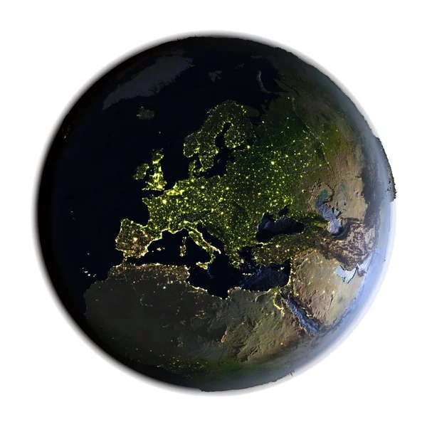
Europe on Earth at night isolated on white
Europe on Earth at night isolated on white — Stock Photo, Image
3D rendered map of COVID-19 virus pandemic with bright colors in UK
Rendered Map Covid Virus Pandemic Bright Colors — Stock Photo, Image
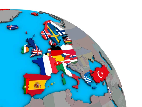
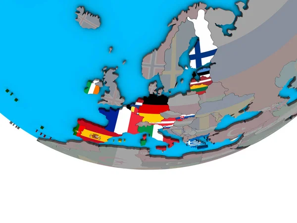
European Union with embedded national flags on simple 3D globe. 3D illustration.
European Union Embedded National Flags Simple Globe Illustration — Stock Photo, Image
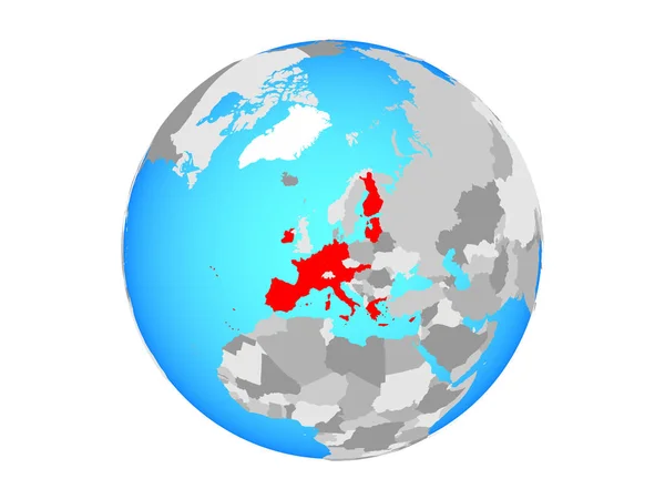
OECD European members with embedded national flags on simple blue political 3D globe. 3D illustration.
Oecd European Members Embedded National Flags Simple Blue Political Globe — Stock Photo, Image
Europe map blue print artwork illustration silhouette
Europe map blue print artwork illustration silhouette — Stock Photo, Image
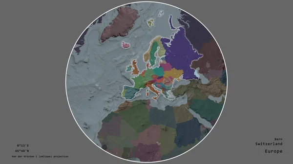
The area of Switzerland centered in the circle surrounding its continent on the desaturated background. Capital georeferences and names given. Color map of the administrative division
Area Switzerland Centered Circle Surrounding Its Continent Desaturated Background Capital — Stock Photo, Image
Old flag of eu
Old flag of eu — Stock Photo, Image
CEI countries with national flags on blue political 3D globe. 3D illustration.
Cei Countries National Flags Blue Political Globe Illustration — Stock Photo, Image
European Union with national flags on blue political 3D globe. 3D illustration.
European Union National Flags Blue Political Globe Illustration — Stock Photo, Image
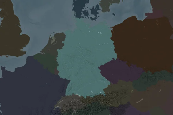
Shape of Germany separated by the desaturation of neighboring areas. Colored elevation map. 3D rendering
Shape Germany Separated Desaturation Neighboring Areas Colored Elevation Map Rendering — Stock Photo, Image
EU flag
EU flag — Stock Photo, Image
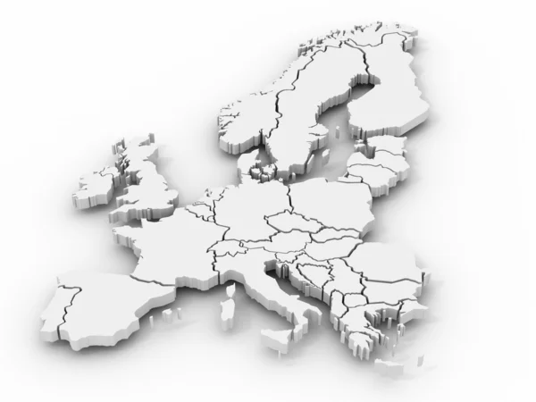
Three-dimensional map of Europe.
Three-dimensional map of Europe. — Stock Photo, Image
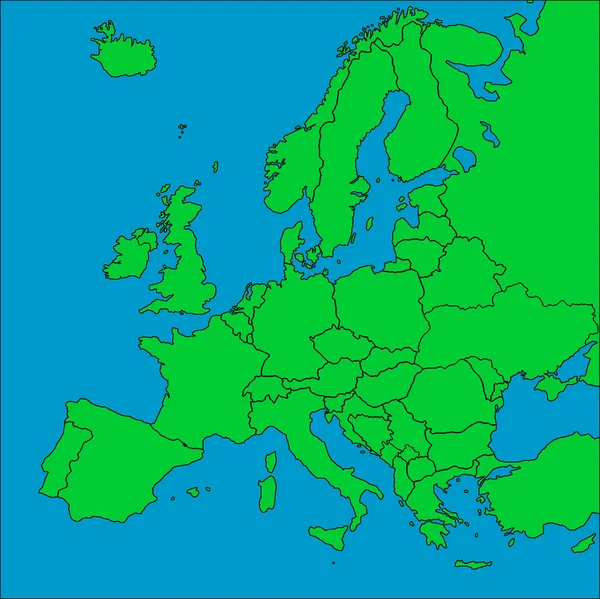
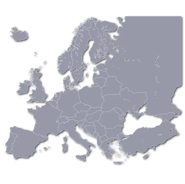
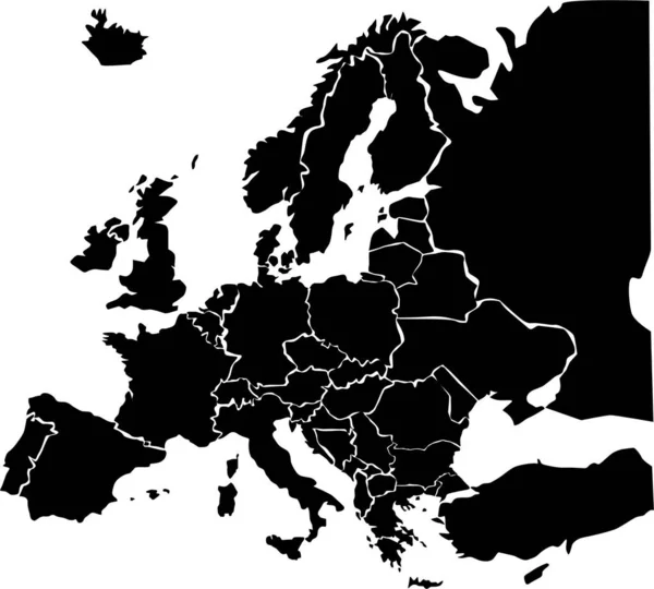
Map of Europe with borders
Map of Europe with borders — Stock Photo, Image
Three-dimensional map of Europe. 3d
Three-dimensional map of Europe. 3d — Stock Photo, Image
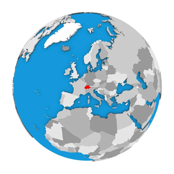
Switzerland on globe
Switzerland on globe — Stock Photo, Image
Southern Europe on planet planet Earth with country borders. Extremely detailed planet surface. 3D illustration. Elements of this image furnished by NASA.
Southern Europe Planet Planet Earth Country Borders Extremely Detailed Planet — Stock Photo, Image
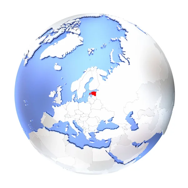
Estonia in red on full globe isolated on white
Estonia in red on full globe isolated on white — Stock Photo, Image
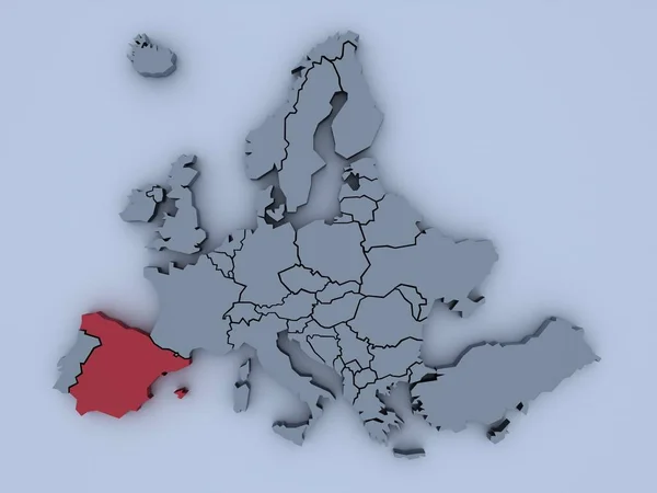
3D rendered map of Europe with bright colors focused on Spain
Rendered Map Europe Bright Colors Focused Spain — Stock Photo, Image
Old flag of eu
Old flag of eu — Stock Photo, Image
A 3D rendered map of Europe
Rendered Map Europe — Stock Photo, Image
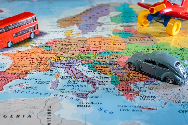
Euro-trip. Map travel outdoor background
Euro Trip Map Travel Outdoor Background — Stock Photo, Image
Geographical map, graphic illustration
Geographical Map Graphic Illustration — Stock Photo, Image
Europe map simple illustration
Europe Map Simple Illustration — Stock Photo, Image
Three-dimensional map of Europe on blue isolated background
Three Dimensional Map Europe Blue Isolated Background — Stock Photo, Image
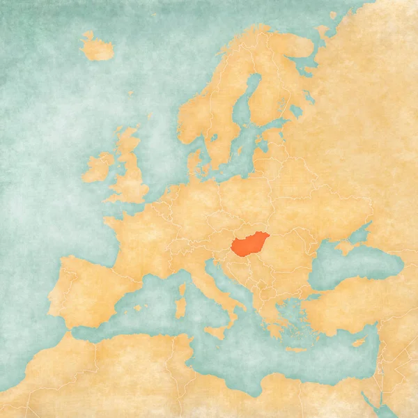
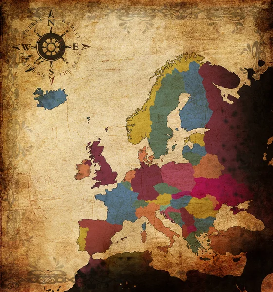
Hungary on the map of Europe in soft grunge and vintage style, like old paper with watercolor painting.
Hungary Map Europe Soft Grunge Vintage Style Old Paper Watercolor — Stock Photo, Image
Estonia on metallic globe isolated
Estonia on metallic globe isolated — Stock Photo, Image
Estonia on metallic globe isolated
Estonia on metallic globe isolated — Stock Photo, Image
Map of europe
Map of europe — Stock Photo, Image
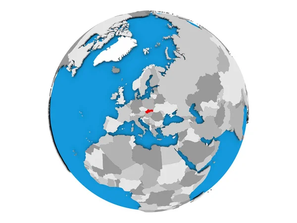
Slovakia on globe isolated
Slovakia on globe isolated — Stock Photo, Image
Map of europe
Map of europe — Stock Photo, Image
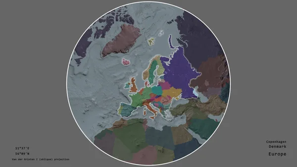
The area of Denmark centered in the circle surrounding its continent on the desaturated background. Capital georeferences and names given. Color map of the administrative division
Area Denmark Centered Circle Surrounding Its Continent Desaturated Background Capital — Stock Photo, Image
Europe illiustration
Europe Illiustration — Stock Photo, Image
Serbia with national flag on political globe with shadow isolated on white background. 3D illustration.
Serbia National Flag Political Globe Shadow Isolated White Background Illustration — Stock Photo, Image
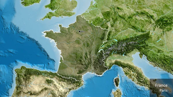
Close-up of the France border area highlighting with a dark overlay on a satellite map. Capital point. Outline around the country shape. English name of the country and its capital
Close France Border Area Highlighting Dark Overlay Satellite Map Capital — Stock Photo, Image
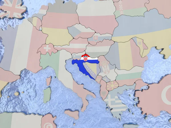
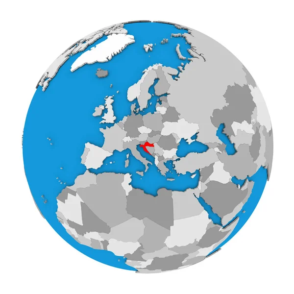
Croatia with flag on globe
Croatia with flag on globe — Stock Photo, Image
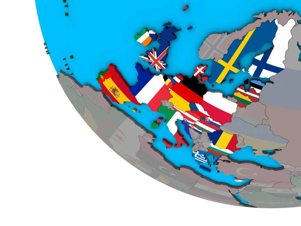
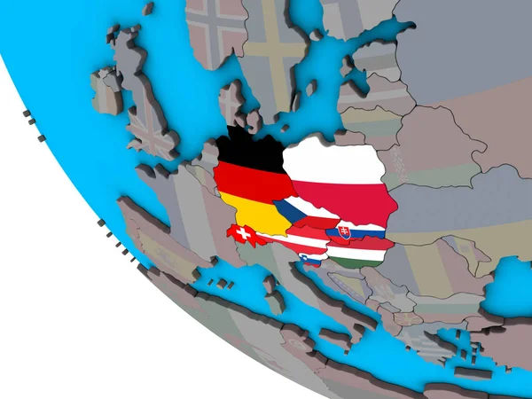
Central Europe with embedded national flags on simple 3D globe. 3D illustration.
Central Europe Embedded National Flags Simple Globe Illustration — Stock Photo, Image
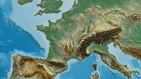
Close-up of arelief map centered on France
Close Arelief Map Centered France — Stock Photo, Image
Eurozone member states with national flags on blue political 3D globe. 3D illustration.
Eurozone Member States National Flags Blue Political Globe Illustration — Stock Photo, Image
Western Europe on simple blue political 3D globe. 3D illustration.
Western Europe Simple Blue Political Globe Illustration — Stock Photo, Image
Slovakia on political 3D globe. 3D illustration.
Slovakia Political Globe Illustration — Stock Photo, Image
Netherlands with embedded national flag on simple blue political 3D globe. 3D illustration.
Netherlands Embedded National Flag Simple Blue Political Globe Illustration — Stock Photo, Image
Three-dimensional map of Europe
Three-dimensional map of Europe — Stock Photo, Image
Map of Luxembourg
Map of Luxembourg — Stock Photo, Image
Croatia on globe
Croatia on globe — Stock Photo, Image
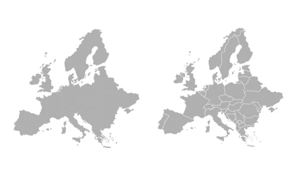
High quality map Europe with borders of the regions
High quality map Europe with borders of the regions — Stock Photo, Image
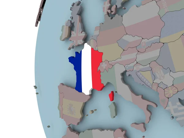
France with embedded flag on political globe. 3D illustration.
France Embedded Flag Political Globe Illustration — Stock Photo, Image
Eurozone member states with embedded national flags on simple political 3D globe. 3D illustration.
Eurozone Member States Embedded National Flags Simple Political Globe Illustration — Stock Photo, Image
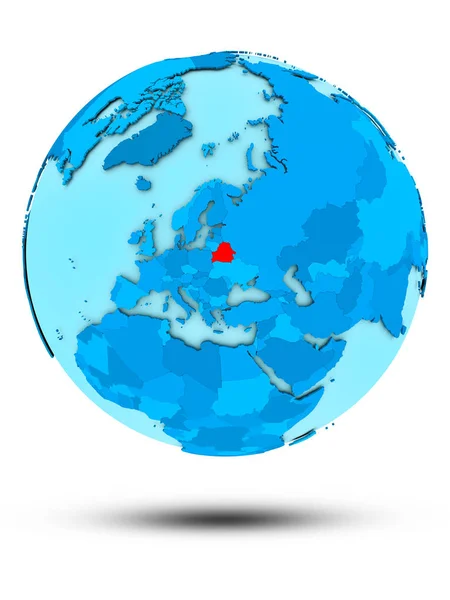
Belarus on blue globe isolated on white background. 3D illustration.
Belarus Blue Globe Isolated White Background Illustration — Stock Photo, Image
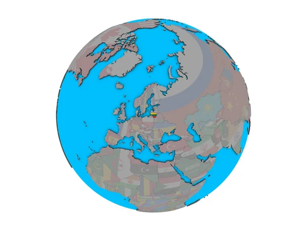
Lithuania with embedded national flag on blue political 3D globe. 3D illustration isolated on white background.
Lithuania Embedded National Flag Blue Political Globe Illustration Isolated White — Stock Photo, Image
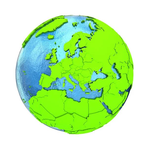
Europe on green Earth
Europe on green Earth — Stock Photo, Image
Europe on green Earth
Europe on green Earth — Stock Photo, Image
Schengen Area members with embedded national flags on blue political 3D globe. 3D illustration isolated on white background.
Schengen Area Members Embedded National Flags Blue Political Globe Illustration — Stock Photo, Image
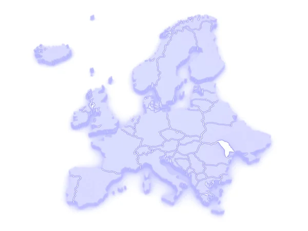
Map of Europe and Moldova.
Map of Europe and Moldova. — Stock Photo, Image
Europe on political Earth
Europe on political Earth — Stock Photo, Image
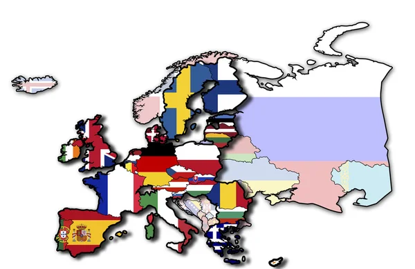
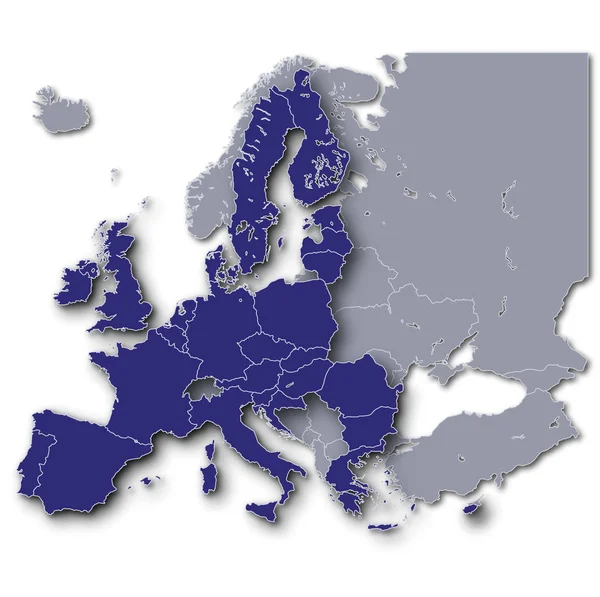
Europe and its eu membership
Europe Its Membership — Stock Photo, Image
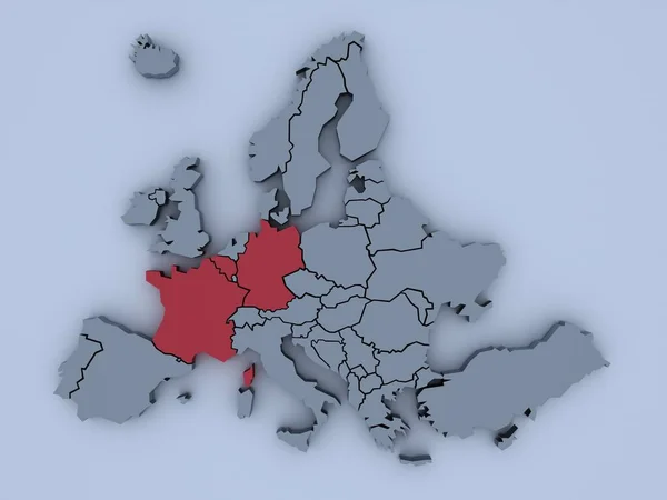
3D rendered map of Europe with bright colors focused on France and Germany
Rendered Map Europe Bright Colors Focused France Germany — Stock Photo, Image
Eurozone member states on blue political globe. 3D illustration isolated on white background.
Eurozone Member States Blue Political Globe Illustration Isolated White Background — Stock Photo, Image
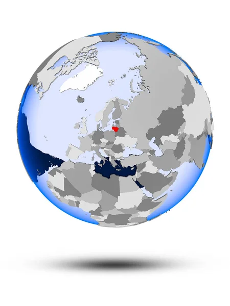
Lithuania on political globe with shadow and translucent oceans isolated on white background. 3D illustration.
Lithuania Political Globe Shadow Translucent Oceans Isolated White Background Illustration — Stock Photo, Image
Europe map
Europe map — Stock Photo, Image
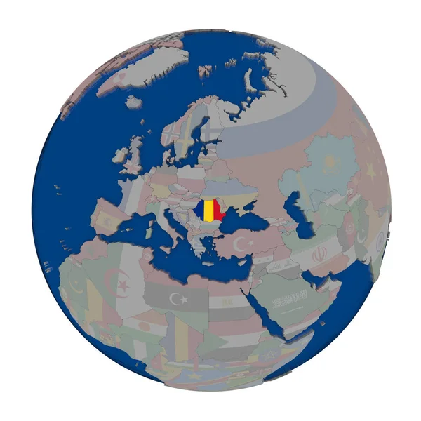
Romania on political globe
Romania on political globe — Stock Photo, Image
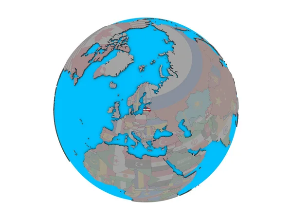
Latvia with embedded national flag on blue political 3D globe. 3D illustration isolated on white background.
Latvia Embedded National Flag Blue Political Globe Illustration Isolated White — Stock Photo, Image
Extended area of France. Colored elevation map. 3D rendering
Extended Area France Colored Elevation Map Rendering — Stock Photo, Image
Eurozone member states on globe. 3D illustration.
Eurozone Member States Globe Illustration — Stock Photo, Image
Eurozone member states on globe. 3D illustration.
Eurozone Member States Globe Illustration — Stock Photo, Image
Eurozone member states on globe. 3D illustration.
Eurozone Member States Globe Illustration — Stock Photo, Image
Eurozone member states on globe. 3D illustration.
Eurozone Member States Globe Illustration — Stock Photo, Image
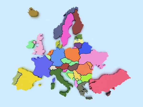
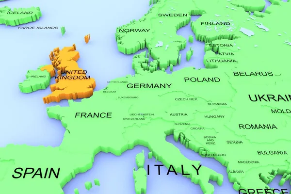
Three dimensional rendered map of Europe with country names
Three Dimensional Rendered Map Europe Country Names — Stock Photo, Image

Related image searches

Find the Perfect Europe Map Images for Your Project

Europe is a diverse continent with an array of different cultures, languages, and landscapes, which makes it an exciting place to explore and an ideal destination for many photographers and designers. If you're looking for high-quality Europe map images to use in your next project, you're in the right place. Our extensive collection showcases some of the best stock images of Europe that you're unlikely to find elsewhere.

Whether you need a map of the entire continent or just a specific region, we have plenty of options to choose from. Our collection features hand-drawn maps, vector graphics, photographs, and illustrations created by talented artists from all over Europe. All of our images are available in different sizes and formats, including JPG, AI, and EPS, so you can easily find the right fit for your project.

Hand-drawn Maps

If you're looking for a more personal touch or a unique map that stands out from the crowd, our hand-drawn maps are perfect for you. Created by skilled artists, these maps capture the essence of a country or region, highlighting its most iconic sights and landmarks. They're great for travel brochures, books, or marketing materials and are sure to make your project stand out for all the right reasons.

Vector Graphics

If you need a map that's easy to edit and resize without losing quality, our vector graphics are perfect for you. Vector graphics are created using mathematical equations, which means that they're infinitely scalable and can be edited without losing resolution. They're a popular choice for web designers, app developers, and marketing professionals who need high-quality maps that can be used in a variety of settings.
Photographs

Nothing captures the beauty and diversity of Europe quite like a photograph. From picturesque landscapes to bustling cities and quaint villages, our collection of Europe map images features some of the best photographs of the continent. Whether you're creating a travel brochure or designing a website, our photographs are a great way to add a touch of authenticity to your project.

Illustrations

If you're looking for a more stylized interpretation of Europe, our illustrations are perfect for you. Created by talented artists, these illustrations capture the spirit of Europe in a unique and creative way. They're great for use in travel guides, magazines, or posters and are sure to catch the eye of anyone who sees them.

When choosing Europe map images for your project, it's important to consider the purpose and context of the images. If you're creating a promotional brochure for a travel agency, for example, you may want to use colorful, eye-catching photographs that showcase the beauty and diversity of Europe. If you're designing a mobile app, on the other hand, you may want to use vector graphics that can be easily resized and edited to fit different screen sizes. Whatever your needs may be, our collection of Europe map images has something for everyone.

So why wait? Browse our collection today and find the perfect Europe map images for your project.