Ireland map Stock Photos

100,000 Ireland map pictures are available under a royalty-free license

  • Best Match
  • Fresh
  • Popular
1-100 of 100,000
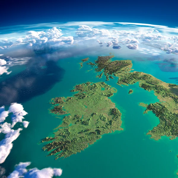
Fragments of the planet Earth. Ireland and UK
Fragments of the planet Earth. Ireland and UK — Stock Photo, Image
Ireland
Ireland — Stock Photo, Image
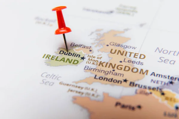
Map of Ireland with a red pushpin.
Map Ireland Red Pushpin — Stock Photo, Image
Great Britain and Ireland
Great Britain and Ireland — Stock Photo, Image
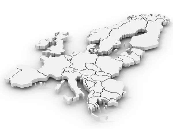
Map of europe
Map of europe — Stock Photo, Image
Grunge Ireland flag
Grunge Ireland flag — Stock Photo, Image
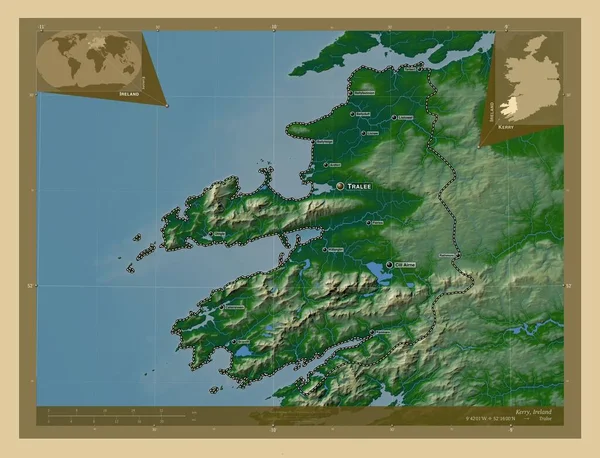
Kerry, county of Ireland. Colored elevation map with lakes and rivers. Locations and names of major cities of the region. Corner auxiliary location maps
Kerry County Ireland Colored Elevation Map Lakes Rivers Locations Names — Stock Photo, Image
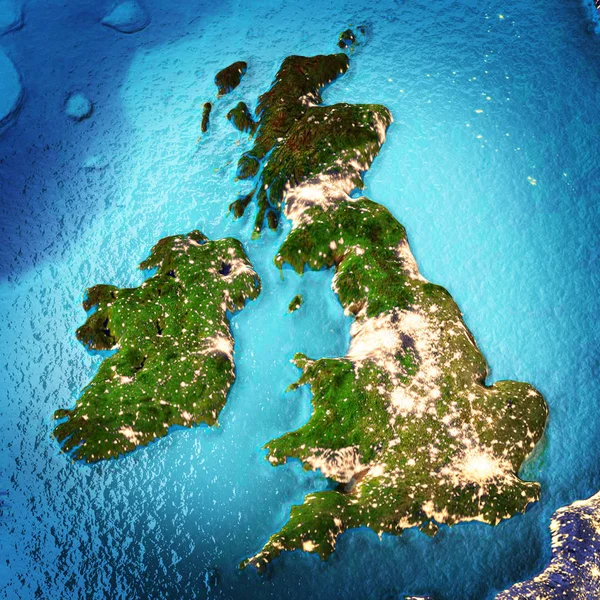
3D map on blue water background of Ireland
3D map on blue water background of  Ireland — Stock Photo, Image
Political map of Ireland with the several provinces.
Political Map Ireland Several Provinces — Stock Photo, Image
Kerry, county of Ireland. Colored elevation map with lakes and rivers. Locations of major cities of the region. Corner auxiliary location maps
Kerry County Ireland Colored Elevation Map Lakes Rivers Locations Major — Stock Photo, Image
Kerry, county of Ireland. Colored elevation map with lakes and rivers. Corner auxiliary location maps
Kerry County Ireland Colored Elevation Map Lakes Rivers Corner Auxiliary — Stock Photo, Image
Shape of Northern Ireland, region of United Kingdom, with its capital isolated on solid background. Distance scale, region preview and labels. Satellite imagery. 3D rendering
Shape Northern Ireland Region United Kingdom Its Capital Isolated Solid — Stock Photo, Image
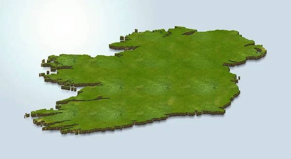
Map of Ireland Series Countries out of realistic Grass
Map Ireland Series Countries Out Realistic Grass — Stock Photo, Image
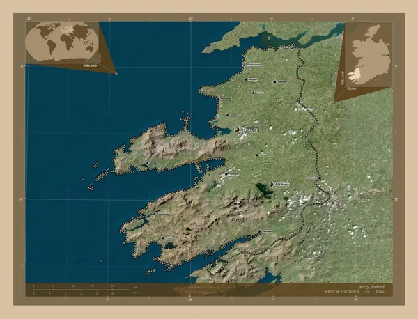
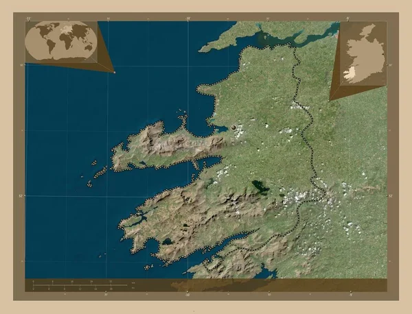
Kerry, county of Ireland. Low resolution satellite map. Locations and names of major cities of the region. Corner auxiliary location maps
Kerry County Ireland Low Resolution Satellite Map Locations Names Major — Stock Photo, Image
Illustration on an Orange background of Denmark
Illustration on an Orange background of Denmark — Stock Photo, Image
Abstract monochrome surface, grungy textured background
Abstract Monochrome Surface Grungy Textured Background — Stock Photo, Image
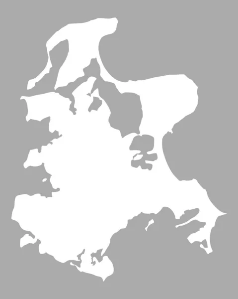
Map of Ruegen, geographical map
Map Ruegen Geographical Map — Stock Photo, Image
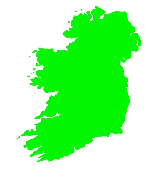
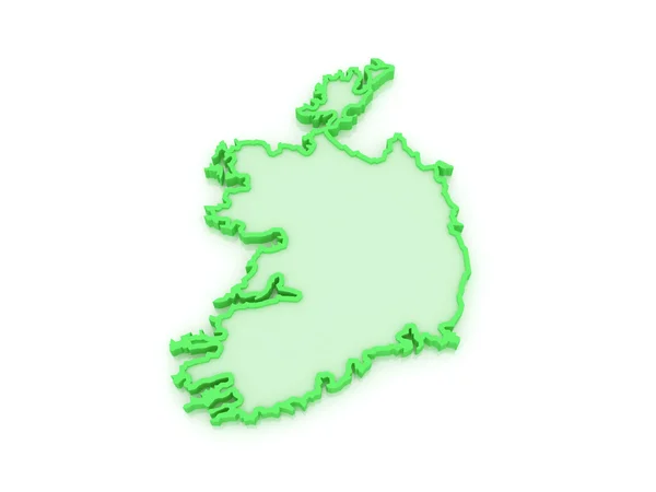
Green outline map of Ireland isolated on white background
Green Outline Map Ireland Isolated White Background — Stock Photo, Image
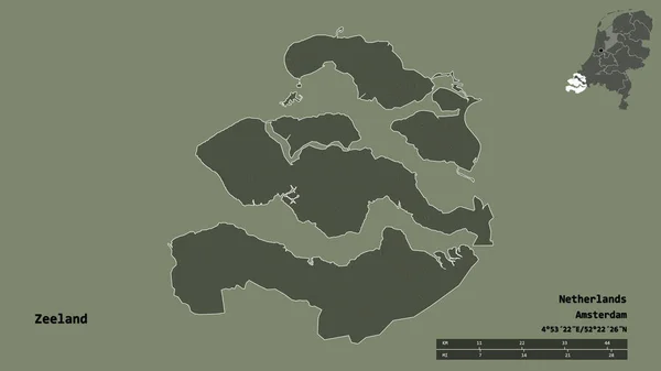
Shape of Zeeland, province of Netherlands, with its capital isolated on solid background. Distance scale, region preview and labels. Topographic relief map. 3D rendering
Shape Zeeland Province Netherlands Its Capital Isolated Solid Background Distance — Stock Photo, Image
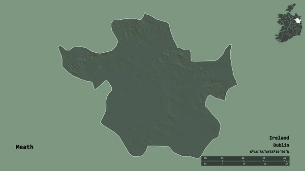
Shape of Meath, county of Ireland, with its capital isolated on solid background. Distance scale, region preview and labels. Colored elevation map. 3D rendering
Shape Meath County Ireland Its Capital Isolated Solid Background Distance — Stock Photo, Image
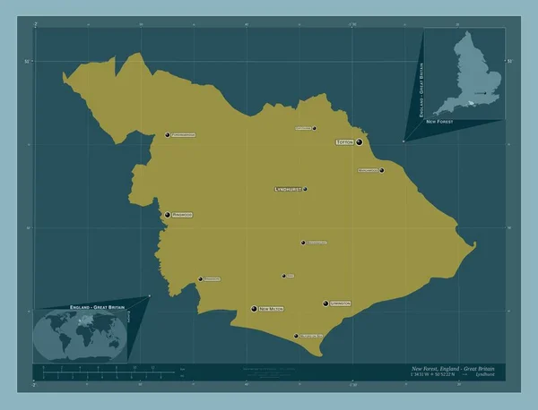
New Forest, non metropolitan district of England - Great Britain. Solid color shape. Locations and names of major cities of the region. Corner auxiliary location maps
New Forest Non Metropolitan District England Great Britain Solid Color — Stock Photo, Image
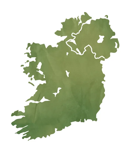
Ireland map on green paper
Ireland map on green paper — Stock Photo, Image
Old green map of Kazahkstan
Old green map of Kazahkstan — Stock Photo, Image
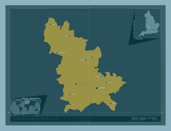
Wychavon, non metropolitan district of England - Great Britain. Solid color shape. Locations and names of major cities of the region. Corner auxiliary location maps
Wychavon Non Metropolitan District England Great Britain Solid Color Shape — Stock Photo, Image
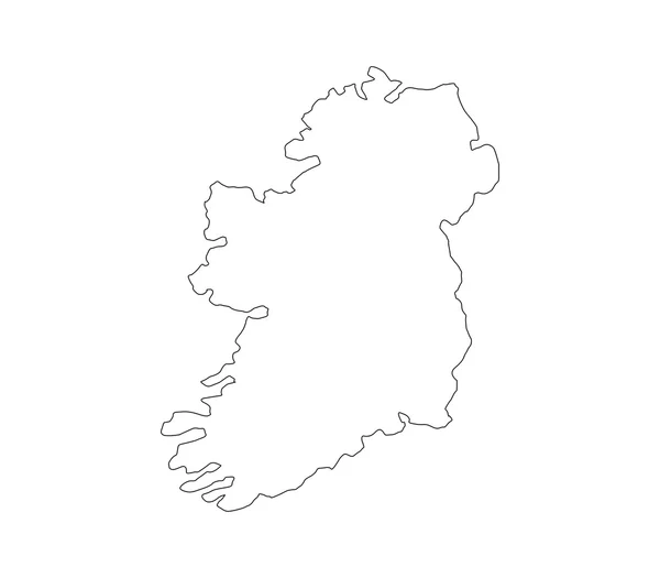
Map of ireland illustrated on a white background
Map of ireland illustrated on a white background — Stock Photo, Image
Fictional map of imaginary world with green continents, blue ocean. Map for banner, poster, print, cover or wall decoration. Imaginary world.
Fictional Map Imaginary World Green Continents Blue Ocean Map Banner — Stock Photo, Image
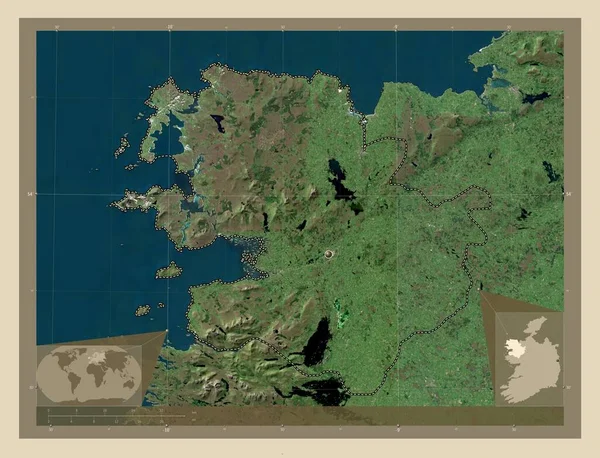
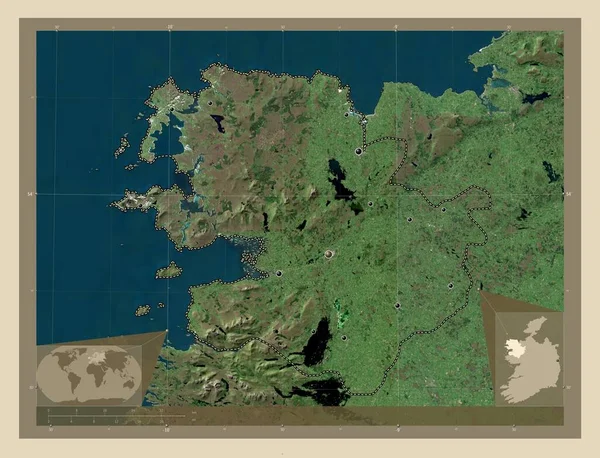
Mayo, county of Ireland. High resolution satellite map. Corner auxiliary location maps
Mayo County Ireland High Resolution Satellite Map Corner Auxiliary Location — Stock Photo, Image
Map of the country of Ireland
Map of the country of Ireland — Stock Photo, Image
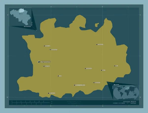
Antwerpen, province of Belgium. Solid color shape. Locations and names of major cities of the region. Corner auxiliary location maps
Antwerpen Province Belgium Solid Color Shape Locations Names Major Cities — Stock Photo, Image
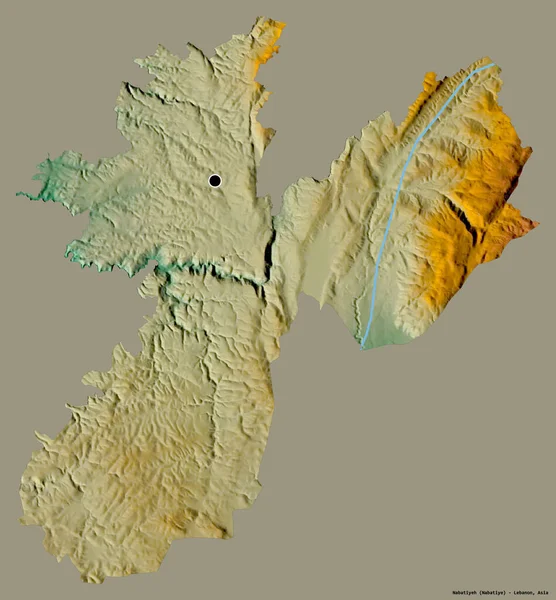
Shape of Nabatiyeh, governorate of Lebanon, with its capital isolated on a solid color background. Topographic relief map. 3D rendering
Shape Nabatiyeh Governorate Lebanon Its Capital Isolated Solid Color Background — Stock Photo, Image
Polygonal Wire Frame Mesh High Detail Raster Map of Corsica Abstractions
Polygonal Wire Frame Mesh High Detail Raster Map of Corsica Abstractions — Stock Photo, Image
Black white textured pattern, abstract background
Black White Textured Pattern Abstract Background — Stock Photo, Image
Map of Maranhao on dark slate
Map Maranhao Dark Slate — Stock Photo, Image
Polygonal Carcass Mesh High Resolution Raster Map of Heard and McDonald Islands Abstractions
Polygonal Carcass Mesh High Resolution Raster Map of Heard and McDonald Islands Abstractions — Stock Photo, Image
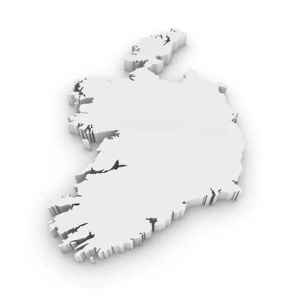
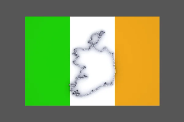
White 3D Outline of Ireland Isolated on White
White 3D Outline of Ireland Isolated on White — Stock Photo, Image
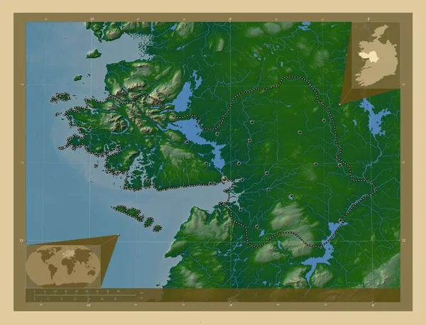
Galway, county of Ireland. Colored elevation map with lakes and rivers. Locations of major cities of the region. Corner auxiliary location maps
Galway County Ireland Colored Elevation Map Lakes Rivers Locations Major — Stock Photo, Image
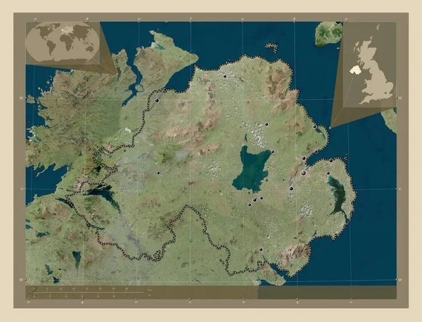
Northern Ireland, region of United Kingdom. High resolution satellite map. Locations of major cities of the region. Corner auxiliary location maps
Northern Ireland Region United Kingdom High Resolution Satellite Map Locations — Stock Photo, Image
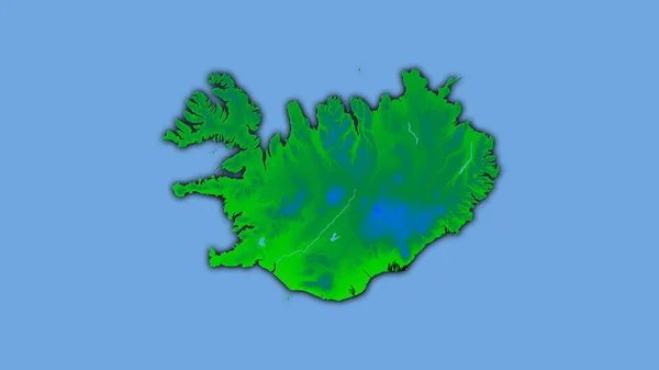
Iceland area on the annual temperature map in the stereographic projection - raw composition of raster layers with dark glowing outline
Iceland Area Annual Temperature Map Stereographic Projection Raw Composition Raster — Stock Photo, Image
Map Iceland. Isolated Illustration. Black on White background.
Map Iceland Isolated Illustration Black White Background — Stock Photo, Image
Hunan, province of China. Solid color shape
Hunan Province China Solid Color Shape — Stock Photo, Image
Map of Ireland
Map of Ireland — Stock Photo, Image
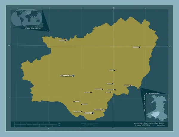
Carmarthenshire, region of Wales - Great Britain. Solid color shape. Locations and names of major cities of the region. Corner auxiliary location maps
Carmarthenshire Region Wales Great Britain Solid Color Shape Locations Names — Stock Photo, Image
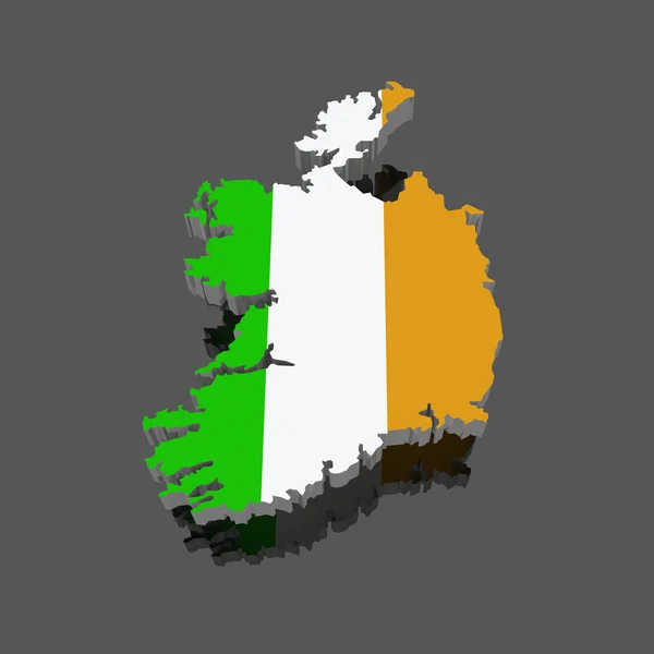
3d render of the map of ireland
Render Map Ireland — Stock Photo, Image
Mayo, county of Ireland. High resolution satellite map. Locations and names of major cities of the region. Corner auxiliary location maps
Mayo County Ireland High Resolution Satellite Map Locations Names Major — Stock Photo, Image
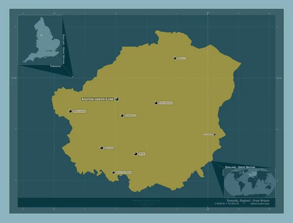
Tameside, metropolitan district of England - Great Britain. Solid color shape. Locations and names of major cities of the region. Corner auxiliary location maps
Tameside Metropolitan District England Great Britain Solid Color Shape Locations — Stock Photo, Image
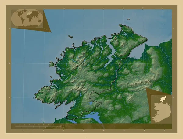
Donegal, county of Ireland. Colored elevation map with lakes and rivers. Corner auxiliary location maps
Donegal County Ireland Colored Elevation Map Lakes Rivers Corner Auxiliary — Stock Photo, Image
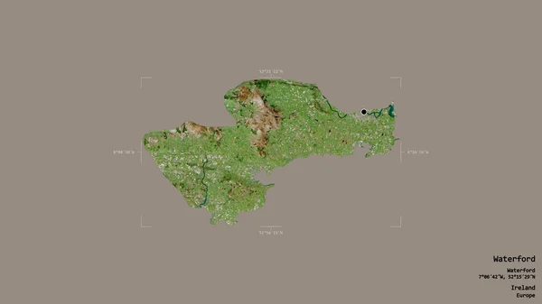
Area of Waterford, county of Ireland, isolated on a solid background in a georeferenced bounding box. Labels. Satellite imagery. 3D rendering
Area Waterford County Ireland Isolated Solid Background Georeferenced Bounding Box — Stock Photo, Image
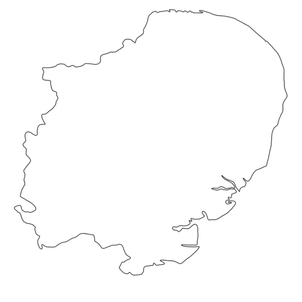
Quality outline map of East of England is a region of England, with borders
Quality Outline Map East England Region England Borders — Stock Photo, Image
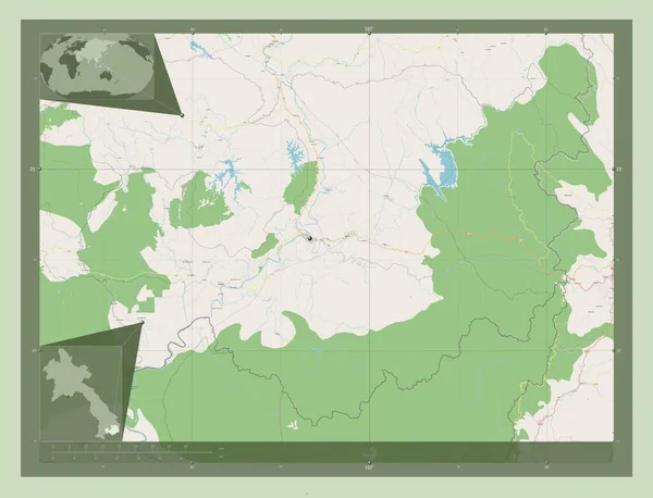
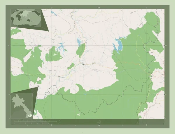
Attapu, province of Laos. Open Street Map. Corner auxiliary location maps
Attapu Province Laos Open Street Map Corner Auxiliary Location Maps — Stock Photo, Image
Attapu, province of Laos. Open Street Map. Locations of major cities of the region. Corner auxiliary location maps
Attapu Province Laos Open Street Map Locations Major Cities Region — Stock Photo, Image
Abstract black white grungy textured background
Abstract Black White Grungy Textured Background — Stock Photo, Image
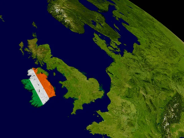
Ireland with flag on Earth
Ireland with flag on Earth — Stock Photo, Image
Map of Minas Gerais on green felt
Map Minas Gerais Green Felt — Stock Photo, Image
Polygonal Carcass Mesh High Resolution Raster Map of Palencia Province Abstractions
Polygonal Carcass Mesh High Resolution Raster Map of Palencia Province Abstractions — Stock Photo, Image
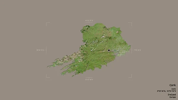
Area of Cork, county of Ireland, isolated on a solid background in a georeferenced bounding box. Labels. Satellite imagery. 3D rendering
Area Cork County Ireland Isolated Solid Background Georeferenced Bounding Box — Stock Photo, Image
Map of Ireland.
Map of Ireland. — Stock Photo, Image
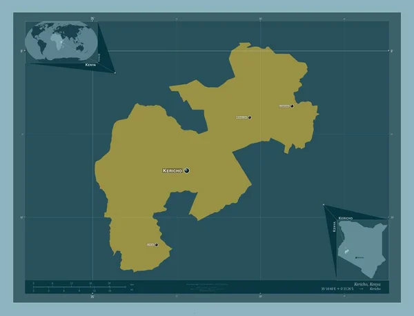
Kericho, county of Kenya. Solid color shape. Locations and names of major cities of the region. Corner auxiliary location maps
Kericho County Kenya Solid Color Shape Locations Names Major Cities — Stock Photo, Image
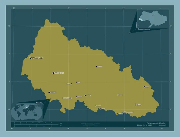
Transcarpathia, region of Ukraine. Solid color shape. Locations and names of major cities of the region. Corner auxiliary location maps
Transcarpathia Region Ukraine Solid Color Shape Locations Names Major Cities — Stock Photo, Image
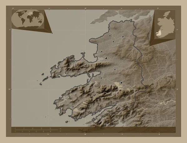
Kerry, county of Ireland. Elevation map colored in sepia tones with lakes and rivers. Locations of major cities of the region. Corner auxiliary location maps
Kerry County Ireland Elevation Map Colored Sepia Tones Lakes Rivers — Stock Photo, Image
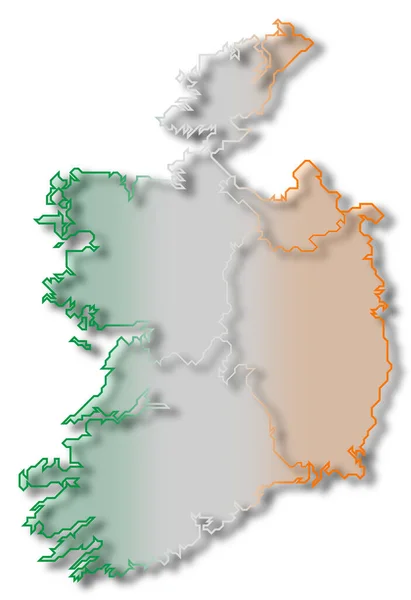
Ireland flag on map
Ireland flag on map — Stock Photo, Image
Donegal, county of Ireland. Colored elevation map with lakes and rivers. Locations of major cities of the region. Corner auxiliary location maps
Donegal County Ireland Colored Elevation Map Lakes Rivers Locations Major — Stock Photo, Image
Map of Ireland.
Map of Ireland. — Stock Photo, Image
Shape of Chukot, autonomous province of Russia, with its capital isolated on white background. Satellite imagery. 3D rendering
Shape Chukot Autonomous Province Russia Its Capital Isolated White Background — Stock Photo, Image
Kerry, county of Ireland. Low resolution satellite map. Corner auxiliary location maps
Kerry County Ireland Low Resolution Satellite Map Corner Auxiliary Location — Stock Photo, Image
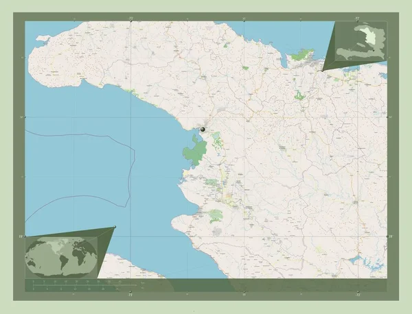
L'Artibonite, department of Haiti. Open Street Map. Corner auxiliary location maps
Artibonite Department Haiti Open Street Map Corner Auxiliary Location Maps — Stock Photo, Image
Galway, county of Ireland. High resolution satellite map. Locations and names of major cities of the region. Corner auxiliary location maps
Galway County Ireland High Resolution Satellite Map Locations Names Major — Stock Photo, Image
Galway, county of Ireland. Low resolution satellite map. Locations of major cities of the region. Corner auxiliary location maps
Galway County Ireland Low Resolution Satellite Map Locations Major Cities — Stock Photo, Image
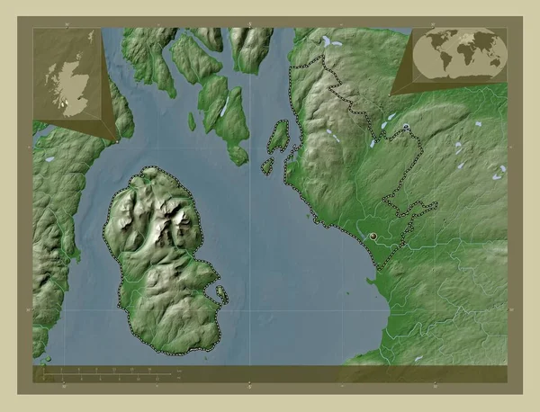
North Ayrshire, region of Scotland - Great Britain. Elevation map colored in wiki style with lakes and rivers. Corner auxiliary location maps
North Ayrshire Region Scotland Great Britain Elevation Map Colored Wiki — Stock Photo, Image
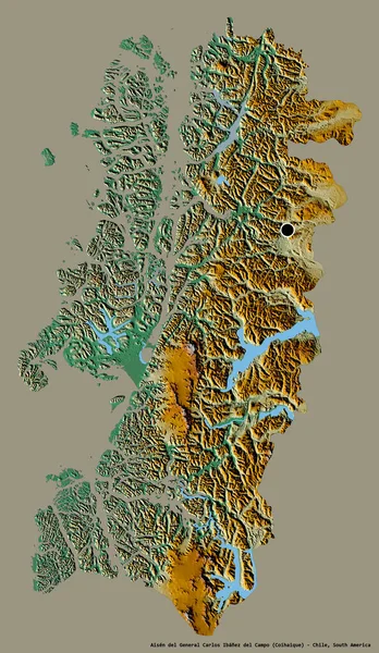
Shape of Aisen del General Carlos Ibanez del Campo, region of Chile, with its capital isolated on a solid color background. Topographic relief map. 3D rendering
Shape Aisen Del General Carlos Ibanez Del Campo Region Chile — Stock Photo, Image
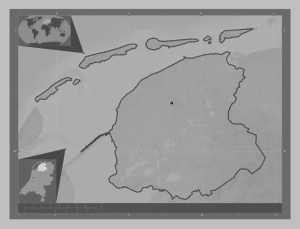
Friesland, province of Netherlands. Grayscale elevation map with lakes and rivers. Corner auxiliary location maps
Friesland Province Netherlands Grayscale Elevation Map Lakes Rivers Corner Auxiliary — Stock Photo, Image
Shape of Zeeland, province of Netherlands, with its capital isolated on solid background. Distance scale, region preview and labels. Colored elevation map. 3D rendering
Shape Zeeland Province Netherlands Its Capital Isolated Solid Background Distance — Stock Photo, Image
Polygonal Network Mesh High Detail Raster Map of Leningrad Region Abstractions
Polygonal Network Mesh High Detail Raster Map of Leningrad Region Abstractions — Stock Photo, Image
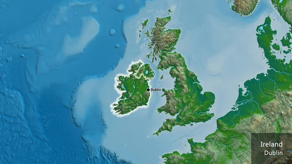
Close-up of the Ireland border area on a physical map. Capital point. Glow around the country shape. English name of the country and its capital
Close Ireland Border Area Physical Map Capital Point Glow Country — Stock Photo, Image
Black white textured pattern, abstract background
Black White Textured Pattern Abstract Background — Stock Photo, Image
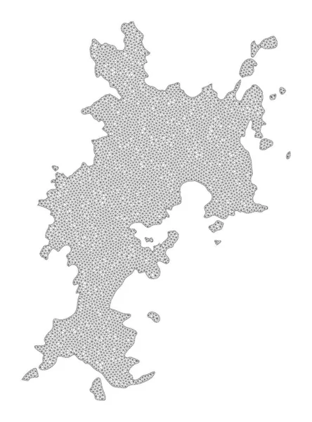
Polygonal Network Mesh High Resolution Raster Map of Komodo Island Abstractions
Polygonal Network Mesh High Resolution Raster Map of Komodo Island Abstractions — Stock Photo, Image
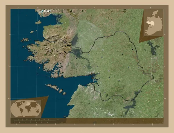
Galway, county of Ireland. Low resolution satellite map. Corner auxiliary location maps
Galway County Ireland Low Resolution Satellite Map Corner Auxiliary Location — Stock Photo, Image
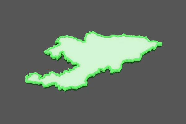
Map of Kyrgyzstan.
Map of Kyrgyzstan. — Stock Photo, Image
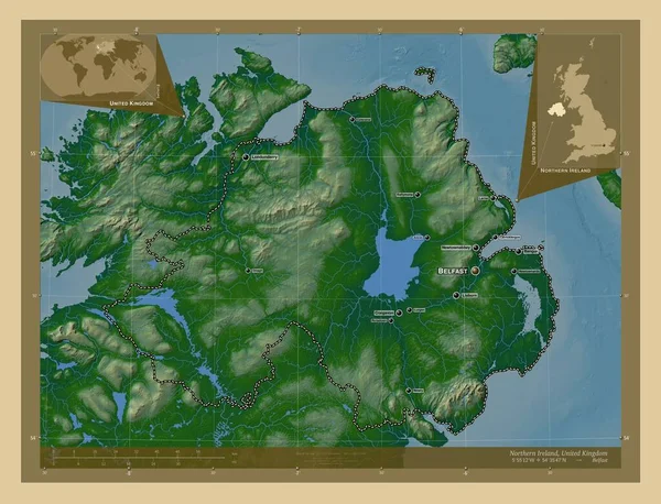
Northern Ireland, region of United Kingdom. Colored elevation map with lakes and rivers. Locations and names of major cities of the region. Corner auxiliary location maps
Northern Ireland Region United Kingdom Colored Elevation Map Lakes Rivers — Stock Photo, Image
3D map on blue water background of Ireland
3D map on blue water background of Ireland — Stock Photo, Image
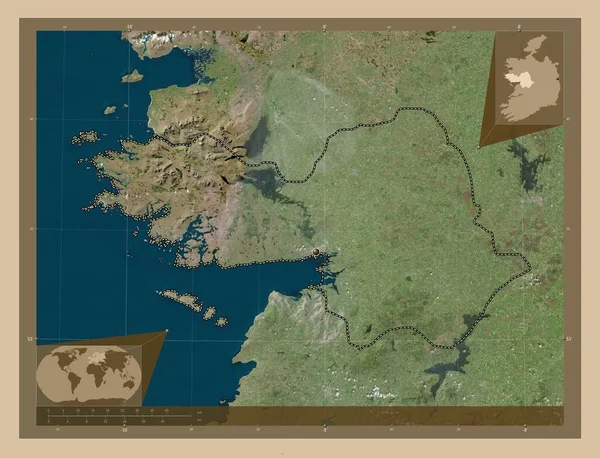
Mayo, county of Ireland. Low resolution satellite map. Corner auxiliary location maps
Mayo County Ireland Low Resolution Satellite Map Corner Auxiliary Location — Stock Photo, Image
Three-dimensional map of Austria.
Three-dimensional map of Austria. — Stock Photo, Image
Mayo, county of Ireland. High resolution satellite map. Locations of major cities of the region. Corner auxiliary location maps
Mayo County Ireland High Resolution Satellite Map Locations Major Cities — Stock Photo, Image
Sligo, county of Ireland. Elevation map colored in wiki style with lakes and rivers. Locations of major cities of the region. Corner auxiliary location maps
Sligo County Ireland Elevation Map Colored Wiki Style Lakes Rivers — Stock Photo, Image
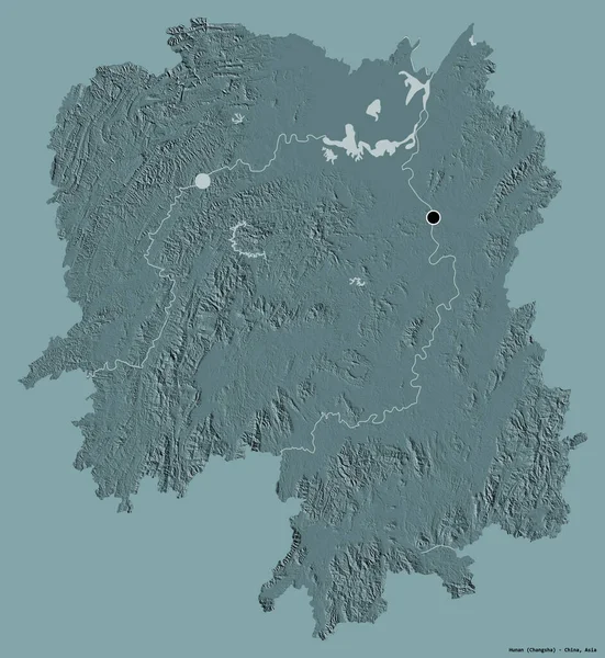
Shape of Hunan, province of China, with its capital isolated on a solid color background. Colored elevation map. 3D rendering
Shape Hunan Province China Its Capital Isolated Solid Color Background — Stock Photo, Image
Shape of Roscommon, county of Ireland, with its capital isolated on solid background. Distance scale, region preview and labels. Colored elevation map. 3D rendering
Shape Roscommon County Ireland Its Capital Isolated Solid Background Distance — Stock Photo, Image
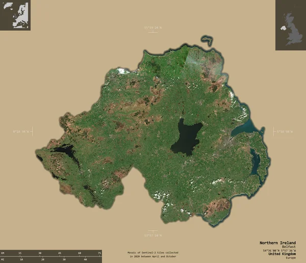
Northern Ireland, region of United Kingdom. Sentinel-2 satellite imagery. Shape isolated on solid background with informative overlays. 3D rendering
Northern Ireland Region United Kingdom Sentinel Satellite Imagery Shape Isolated — Stock Photo, Image
Map of Ireland on dark slate
Map Ireland Dark Slate — Stock Photo, Image
Map of Ireland.
Map of Ireland. — Stock Photo, Image
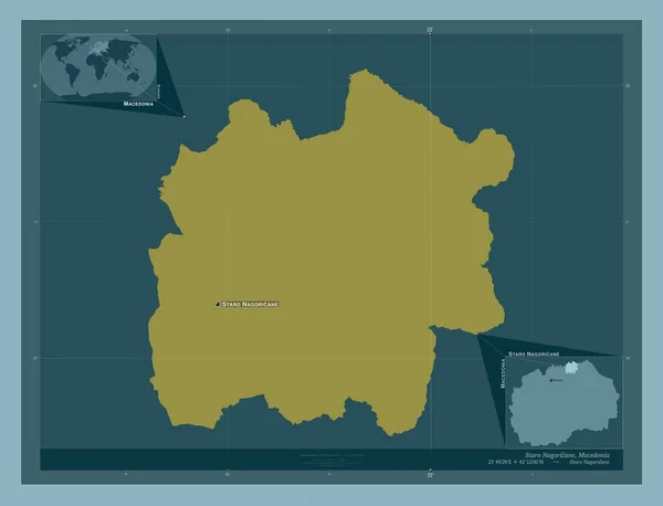
Staro Nagoricane, municipality of Macedonia. Solid color shape. Locations and names of major cities of the region. Corner auxiliary location maps
Staro Nagoricane Municipality Macedonia Solid Color Shape Locations Names Major — Stock Photo, Image
Mayo, county of Ireland. Low resolution satellite map. Locations of major cities of the region. Corner auxiliary location maps
Mayo County Ireland Low Resolution Satellite Map Locations Major Cities — Stock Photo, Image
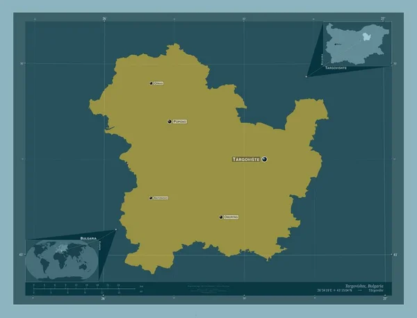
Targovishte, province of Bulgaria. Solid color shape. Locations and names of major cities of the region. Corner auxiliary location maps
Targovishte Province Bulgaria Solid Color Shape Locations Names Major Cities — Stock Photo, Image
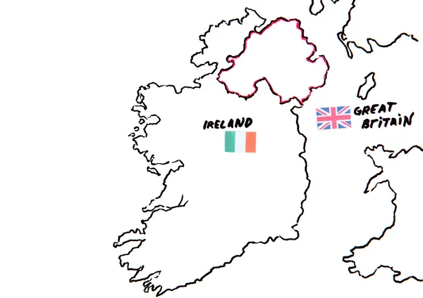
Territorial dispute concept
Territorial dispute concept — Stock Photo, Image
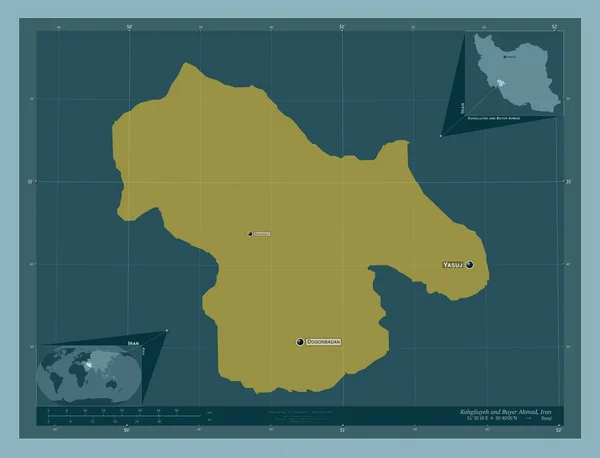
Kohgiluyeh and Buyer Ahmad, province of Iran. Solid color shape. Locations and names of major cities of the region. Corner auxiliary location maps
Kohgiluyeh Buyer Ahmad Province Iran Solid Color Shape Locations Names — Stock Photo, Image
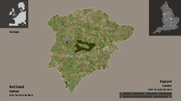
Shape of Rutland, unitary authority of England, and its capital. Distance scale, previews and labels. Satellite imagery. 3D rendering
Shape Rutland Unitary Authority England Its Capital Distance Scale Previews — Stock Photo, Image

Stock Images of Ireland Map

If you are looking for professional and high-quality images of the Ireland map, you have come to the right place. Our stock image collection offers a wide variety of stunning images that can be used for personal and commercial projects. Whether you want to create a travel brochure or a website for your Irish business, our images will help you bring your project to life.

Types of Images Available

Our stock image collection includes various types of images of the Ireland map, including aerial views, city maps, road maps, and topographical maps. The images are available in JPG, AI, and EPS formats, making them compatible with most design software. You can easily resize, crop, and manipulate the images to suit your needs.

Where to Use the Images

The Ireland map images can be used for a variety of purposes, such as travel brochures, websites, posters, and advertisements. They can also be used for educational purposes, such as creating classroom materials or illustrating research projects. Whatever your project may be, our Ireland map images will provide your audience with an accurate and visually appealing representation of the country.

How to Choose the Right Image

Choosing the right image is crucial to the success of your project. Here are some tips on how to choose the perfect image for your needs:

  • Consider your audience - Choose an image that will resonate with your target audience. If your audience is primarily tourists, choose an image that showcases Ireland's natural beauty and tourist attractions.
  • Consider the message you want to convey - If you want to emphasize Ireland's history and culture, choose an image that features historical landmarks or traditional architecture.
  • Choose a high-quality image - A high-quality image will look more professional and will give your project a polished finish. Choose an image with good resolution and clarity.
  • Consider the color scheme - Choose an image that complements your project's color scheme. You can use the color picker tool to match the colors in the image to your project's palette.

Conclusion

Our stock image collection of Ireland map images is a valuable resource for anyone looking to create a professional and visually appealing project. Our high-quality images are available in a variety of formats, making them easy to use in a variety of design projects. By following the tips outlined above, you can choose the perfect image that will elevate your project and impress your audience.