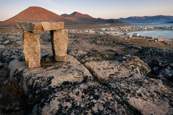
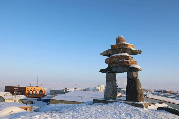
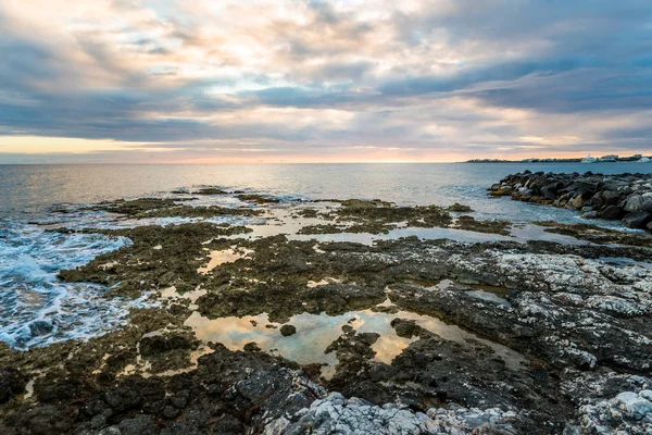
Dusk in a harsh arctic landscape with bare hills and ocean. Inuksuk with Inuit settlement of Qikiqtarjuaq in the background. Broughton Island, Nunavut. The north.
Dusk Harsh Arctic Landscape Bare Hills Ocean Inuksuk Inuit Settlement — Stock Photo, Image
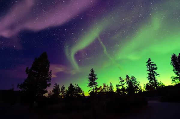
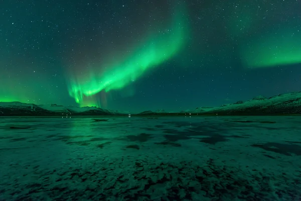
Northern lights
Northern lights — Stock Photo, Image
Aurora borealis, northern lights
Aurora borealis, northern lights — Stock Photo, Image
Nunavut (canadian arctic)
Nunavut (canadian arctic) — Stock Photo, Image
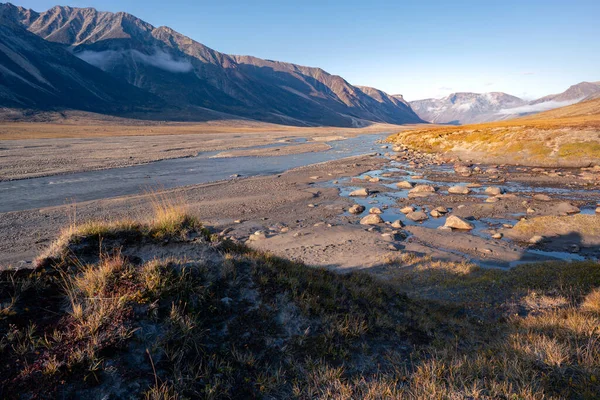
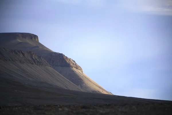
Owl River bed in arctic remote valley, Akshayuk Pass, Nunavut. Beautiful arctic landscape in the late, sunny afternoon. Iconic mountains on distant horizon. Autumn colors. Wild north.
Owl River Bed Arctic Remote Valley Akshayuk Pass Nunavut Beautiful — Stock Photo, Image
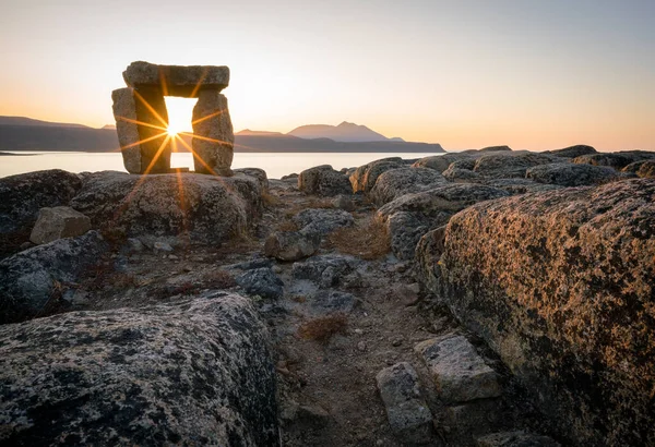
Sunset through Inuksuk in rough arctic landscape. Sunstar on the horizon in the fjord of Qikiqtarjuaq, Broughton Island, Nunavut. The north.
Sunset Inuksuk Rough Arctic Landscape Sunstar Horizon Fjord Qikiqtarjuaq Broughton — Stock Photo, Image
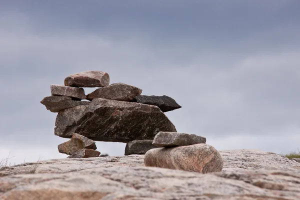
Inukshuk
Inukshuk — Stock Photo, Image
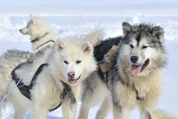
Husky sled dog portrait
Husky sled dog portrait — Stock Photo, Image
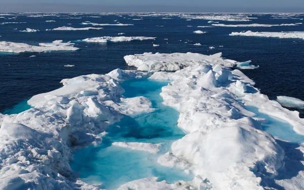
Glacier, Nunavut, Canada
Glacier, Nunavut, Canada — Stock Photo, Image
Boat On Water
Boat On Water — Stock Photo, Image
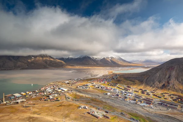
View over Longyearbyen from above - the most Northern settlement in the world. Svalbard, Norway
View Longyearbyen Most Northern Settlement World Svalbard Norway — Stock Photo, Image
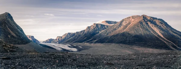
Sunset above above remote arctic valley of Akshayuk Pass, Baffin Island, Canada. Last rays of light on the peaks around Highway glacier. Arctic summer in the wild of the far north. Wild Arctic.
Sunset Remote Arctic Valley Akshayuk Pass Baffin Island Canada Last — Stock Photo, Image
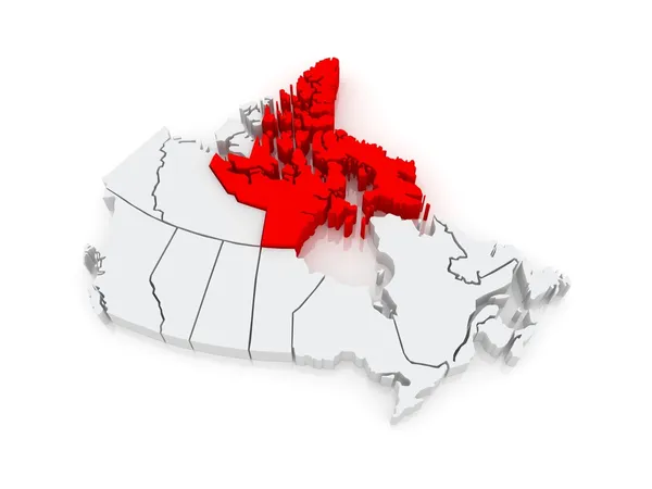
Map of Nunavut. Canada.
Map of Nunavut. Canada. — Stock Photo, Image
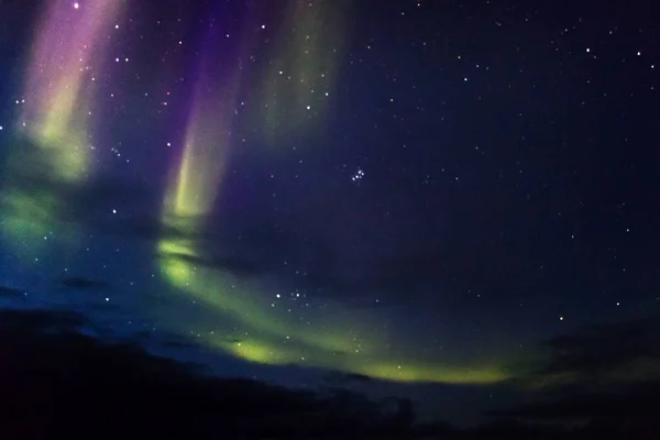
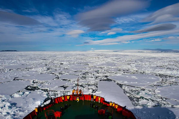
Northern Boreal Lights in the sky while sailing across the northwest passage in Canada.
Northern Boreal Lights Sky While Sailing Northwest Passage Canada — Stock Photo, Image
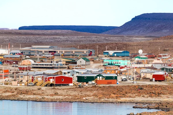
Clyde River, Baffin Island, Canada - August 20th, 2019: Panoramic view of residential houses in Clyde River, Nunavut, Canada.
Clyde River Baffin Island Canada August 20Th 2019 Panoramic View — Stock Photo, Image
Single Inuksuk or Inukshuk landmark covered in snow on the top of the hill in the community of Rankin Inlet, Nunavut, Canada
Single Inuksuk Inukshuk Landmark Covered Snow Top Hill Community Rankin — Stock Photo, Image
The Coastline of Ulukhaktok located on the west side of Victoria Island, the northwest passage in Canada.
Coastline Ulukhaktok Located West Side Victoria Island Northwest Passage Canada — Stock Photo, Image
Coburg Island In The Canadian Arctic
Coburg Island In The Canadian Arctic — Stock Photo, Image
Kayakers By Ice Berg Off Coast Of Nunavut, Canada
Kayakers By Ice Berg Off Coast Of Nunavut, Canada — Stock Photo, Image
Franz-Josef Land landscape
Franz-Josef Land landscape — Stock Photo, Image
Tropical sunset with ocean and corals on foreground
Tropical sunset with ocean and corals on foreground — Stock Photo, Image
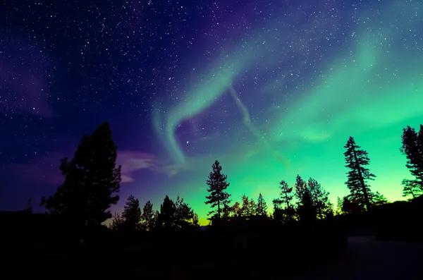
Northern lights
Northern lights — Stock Photo, Image
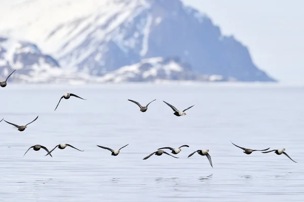
King Eider (Somateria spectabilis) in flight
King Eider (Somateria spectabilis) in flight — Stock Photo, Image
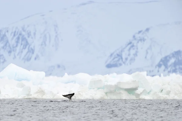
Narwhal, or narwhale (Monodon monoceros)
Narwhal, or narwhale (Monodon monoceros) — Stock Photo, Image
Griese Fiord In Nunavut
Griese Fiord In Nunavut — Stock Photo, Image
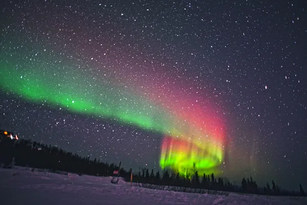
Northern Lights
Northern Lights — Stock Photo, Image
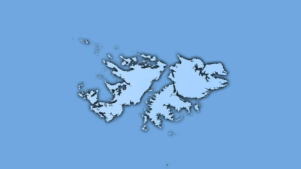
Falkland Islands map
Falkland Islands map — Stock Photo, Image
Falkland Islands area on the annual precipitation map in the stereographic projection - raw composition of raster layers with dark glowing outline
Falkland Islands Area Annual Precipitation Map Stereographic Projection Raw Composition — Stock Photo, Image
Modern simple abstract design with white waves decoration on black and red background
Modern Simple Abstract Design White Waves Decoration Black Red Background — Stock Photo, Image
Imaginary map with green continents, blue ocean. Map for banner, poster, print, cover or wall decoration. Fictional country map.
Imaginary Map Green Continents Blue Ocean Map Banner Poster Print — Stock Photo, Image
3D Isometric Flag Illustration of a map of the world with the fl
3D Isometric Flag Illustration of a map of the world with the fl — Stock Photo, Image
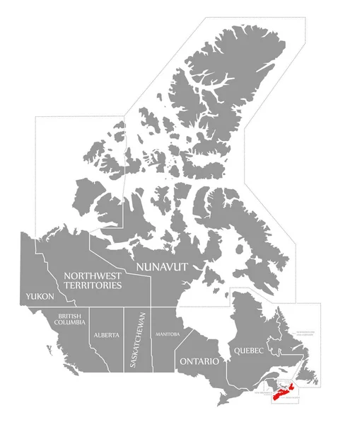
Nova Scotia red highlighted in map of Canada
Nova Scotia red highlighted in map of Canada — Stock Photo, Image
Zambia on blue globe
Zambia on blue globe — Stock Photo, Image
Guernsey. Neighborhood - distant perspective without outline. shapes only - land/ocean mask
Guernsey Neighborhood Distant Perspective Outline Shapes Only Land Ocean Mask — Stock Photo, Image
Northern Ireland map with gray tone on white background,illustration,textured , Symbols of Northern Ireland
Northern Ireland Map Gray Tone White Background Illustration Textured Symbols — Stock Photo, Image
Northern Ireland map with gray tone on white background,illustration,textured , Symbols of Northern Ireland
Northern Ireland Map Gray Tone White Background Illustration Textured Symbols — Stock Photo, Image
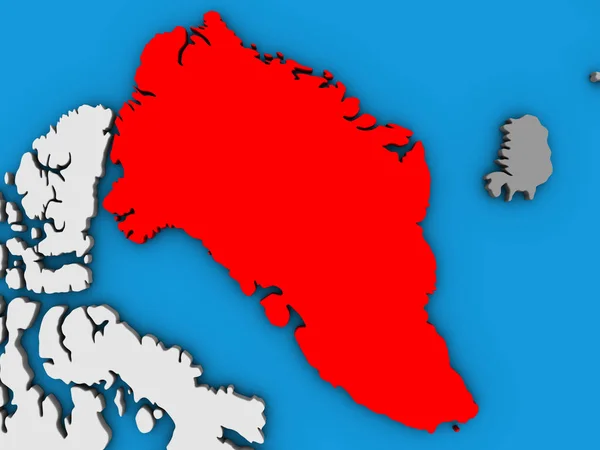
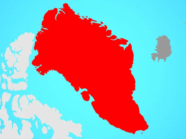
Greenland on blue political globe. 3D illustration.
Greenland Blue Political Globe Illustration — Stock Photo, Image
3D Isometric Flag Illustration of a map of the world with the fl
3D Isometric Flag Illustration of a map of the world with the fl — Stock Photo, Image
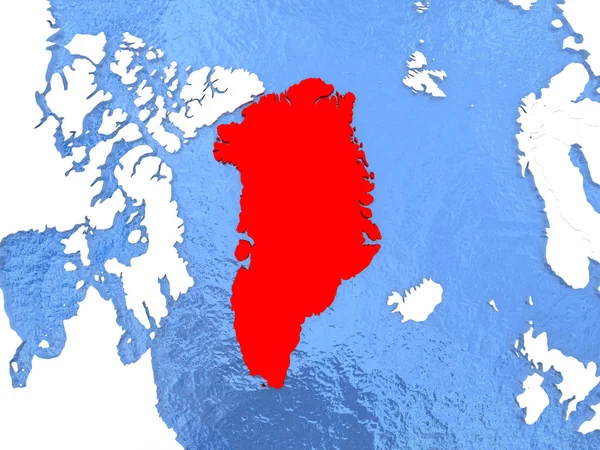
Greenland on globe
Greenland on globe — Stock Photo, Image
Mauritania on blue globe
Mauritania on blue globe — Stock Photo, Image
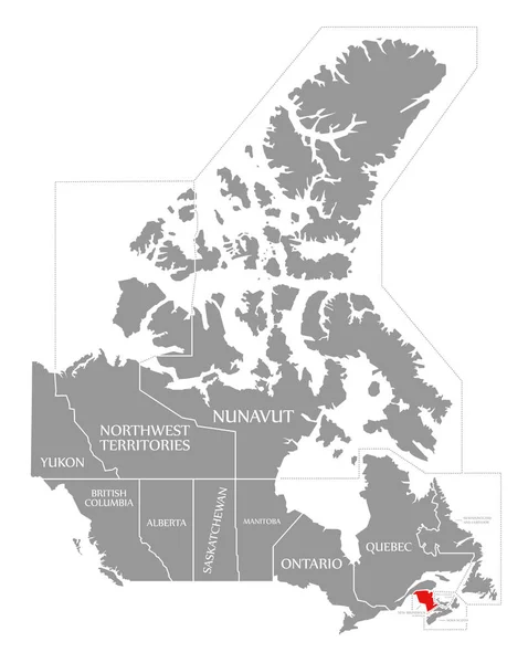
New Brunswick red highlighted in map of Canada
New Brunswick red highlighted in map of Canada — Stock Photo, Image
Fictional map of imaginary world with green continents, blue ocean. Map for banner, poster, print, cover or wall decoration. Imaginary world.
Fictional Map Imaginary World Green Continents Blue Ocean Map Banner — Stock Photo, Image
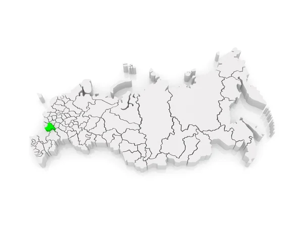
Map of the Russian Federation. Voronezh region.
Map of the Russian Federation. Voronezh region. — Stock Photo, Image
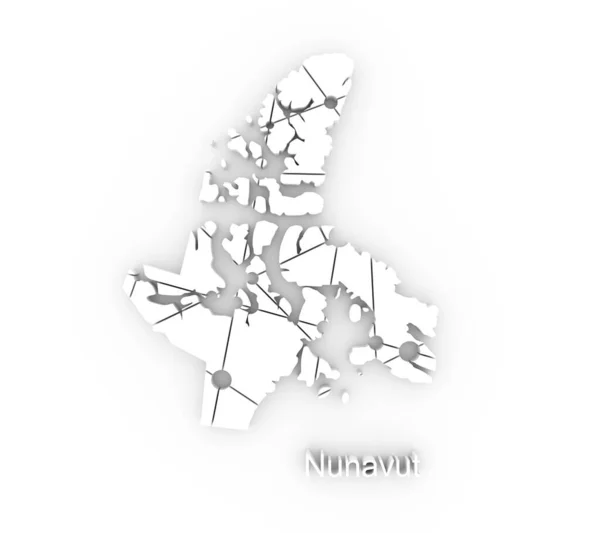
Map of Nunavut. Concept of travel and geography of Canada.
Map of Nunavut. Concept of travel and geography of Canada. — Stock Photo, Image
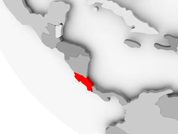
Map of Costa Rica in red
Map of Costa Rica in red — Stock Photo, Image
Map of Guna Yala. Panama.
Map of Guna Yala. Panama. — Stock Photo, Image
Old color grunge vintage weathered background abstract antique t
Old color grunge vintage weathered background abstract antique t — Stock Photo, Image
Bahrain flag.
Bahrain flag. — Stock Photo, Image
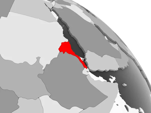
3D render of Eritrea in red on grey political globe with transparent oceans. 3D illustration.
Render Eritrea Red Grey Political Globe Transparent Oceans Illustration — Stock Photo, Image
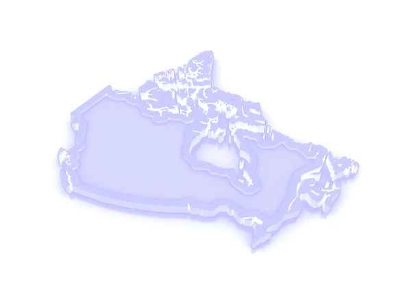
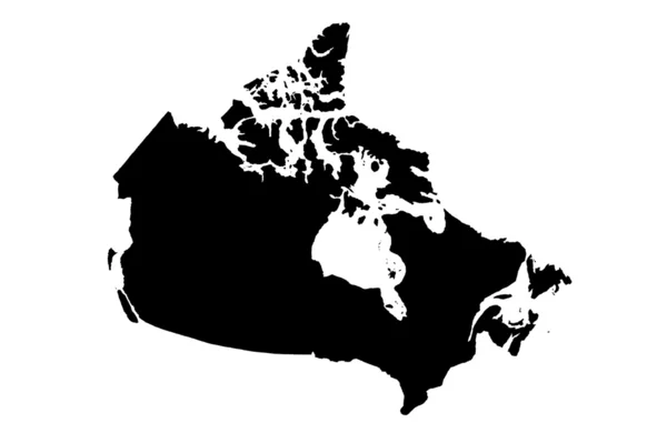
Three-dimensional map of Canada.
Three-dimensional map of Canada. — Stock Photo, Image
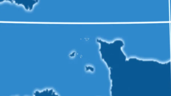
Guernsey. Neighborhood - distant perspective with outline of the country. shapes only - land/ocean mask
Guernsey Neighborhood Distant Perspective Outline Country Shapes Only Land Ocean — Stock Photo, Image
White maple leaf vertical
White maple leaf vertical — Stock Photo, Image
3d Render of Canada
3d Render of Canada — Stock Photo, Image
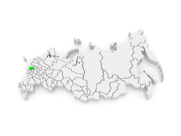
Map of the Russian Federation. Kaluga region.
Map of the Russian Federation. Kaluga region. — Stock Photo, Image
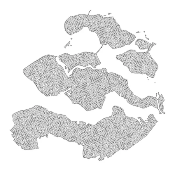
Polygonal Wire Frame Mesh High Detail Raster Map of Zeeland Province Abstractions
Polygonal Wire Frame Mesh High Detail Raster Map of Zeeland Province Abstractions — Stock Photo, Image
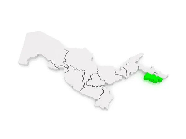
Map of Fergana region. Uzbekistan.
Map of Fergana region. Uzbekistan. — Stock Photo, Image
3D Isometric Flag Illustration of a map of the world with the fl
3D Isometric Flag Illustration of a map of the world with the fl — Stock Photo, Image
Franco-Nunavois flag background
Franco Nunavois Flag Background — Stock Photo, Image
Abstract color painting background. Ink pattern illustration. Contemporary and modern texture. Creative and artistic wallpaper. Artistic wall with brushed shapes design. Urban Grunge.
Abstract Color Painting Background Ink Pattern Illustration Contemporary Modern Texture — Stock Photo, Image
Canada and Angola Flags on White Background
Canada Angola Flags White Background — Stock Photo, Image
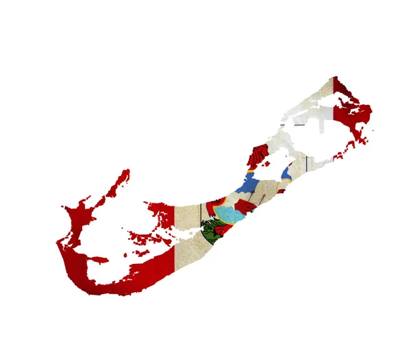
Map of Bermuda isolated
Map of Bermuda isolated — Stock Photo, Image
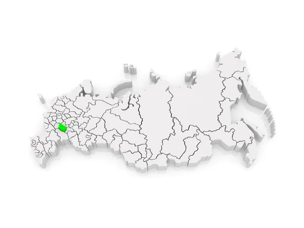
Map of the Russian Federation. Penza region.
Map of the Russian Federation. Penza region. — Stock Photo, Image
Imaginary map with green continents, blue ocean. Map for banner, poster, print, cover or wall decoration. Fictional country map.
Imaginary Map Green Continents Blue Ocean Map Banner Poster Print — Stock Photo, Image
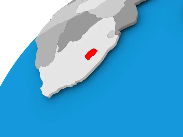
Map of Lesotho in red
Map of Lesotho in red — Stock Photo, Image
Djibouti in red on blue model of political globe with transparent oceans. 3D illustration.
Djibouti Red Blue Model Political Globe Transparent Oceans Illustration — Stock Photo, Image
Serbia map with gray tone on white background,illustration,textured , Symbols of Serbia ,for advertising ,promote, TV commercial, ads, web design, magazine, news paper, report
Serbia Map Gray Tone White Background Illustration Textured Symbols Serbia — Stock Photo, Image
Marijuana and cannabis in Canada; Canadian drug business
Marijuana and cannabis in Canada; Canadian drug business — Stock Photo, Image
Haiti on globe. 3D illustration.
Haiti Globe Illustration — Stock Photo, Image
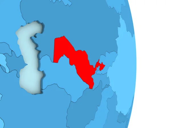
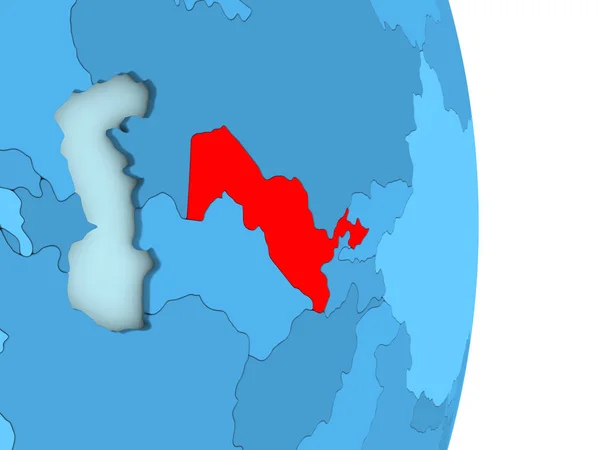
Uzbekistan on blue political globe
Uzbekistan on blue political globe — Stock Photo, Image
Uzbekistan on blue political globe
Uzbekistan on blue political globe — Stock Photo, Image
Uzbekistan on blue political globe
Uzbekistan on blue political globe — Stock Photo, Image
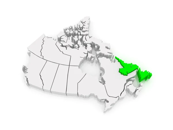
Map of Newfoundland and Labrador. Canada.
Map of Newfoundland and Labrador. Canada. — Stock Photo, Image
Three-dimensional map of Canada.
Three-dimensional map of Canada. — Stock Photo, Image
Modern technology business abstract triangles and square simple cover design . Cover design template for the presentation, brochure, catalog, poster, book, magazines.
Modern Technology Business Abstract Triangles Square Simple Cover Design Cover — Stock Photo, Image
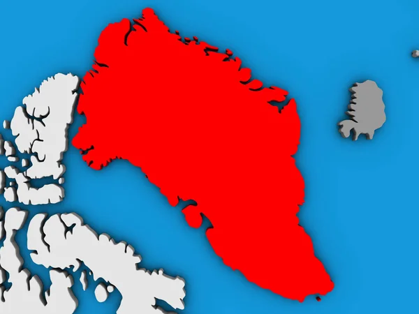
Greenland on blue political 3D globe. 3D illustration.
Greenland Blue Political Globe Illustration — Stock Photo, Image
Greenland on blue political 3D globe. 3D illustration.
Greenland Blue Political Globe Illustration — Stock Photo, Image
Modern art, digital illustration background
Modern Art Digital Illustration Background — Stock Photo, Image
Canada
Canada — Stock Photo, Image
Three-dimensional map of Canada.
Three-dimensional map of Canada. — Stock Photo, Image
Greenland with national flag on blue political 3D globe. 3D illustration.
Greenland National Flag Blue Political Globe Illustration — Stock Photo, Image
Four national flag of canada waving in wind focused on first flag and blue sky motion animation
Four National Flag Canada Waving Wind Focused First Flag Blue — Stock Photo, Image
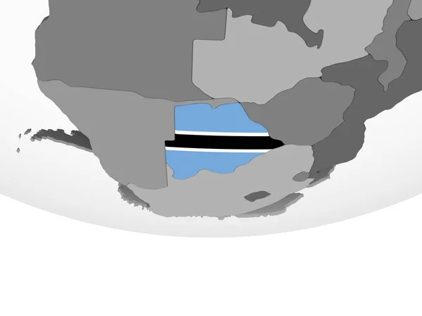
Botswana on gray political globe with embedded flag. 3D illustration.
Botswana Gray Political Globe Embedded Flag Illustration — Stock Photo, Image
Swaziland in red
Swaziland in red — Stock Photo, Image
Map of Canary Islands on green felt
Map Canary Islands Green Felt — Stock Photo, Image
Abstract image with shades of blue. Simplified minimalism in contemporary art.
Abstract Image Shades Blue Simplified Minimalism Contemporary Art — Stock Photo, Image
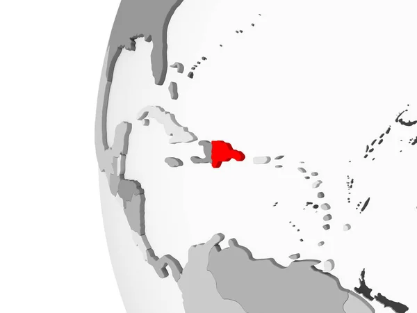
Dominican Republic highlighted on grey 3D model of political globe with transparent oceans. 3D illustration.
Dominican Republic Highlighted Grey Model Political Globe Transparent Oceans Illustration — Stock Photo, Image
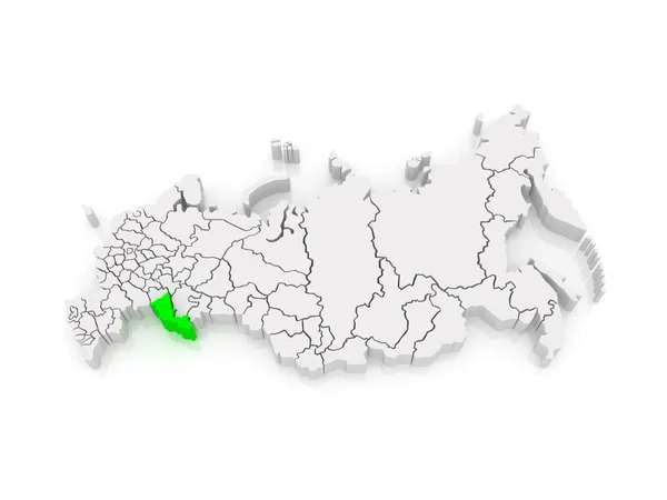
Map of the Russian Federation. Orenburg region.
Map of the Russian Federation. Orenburg region. — Stock Photo, Image
Map of Nepal in red
Map of Nepal in red — Stock Photo, Image
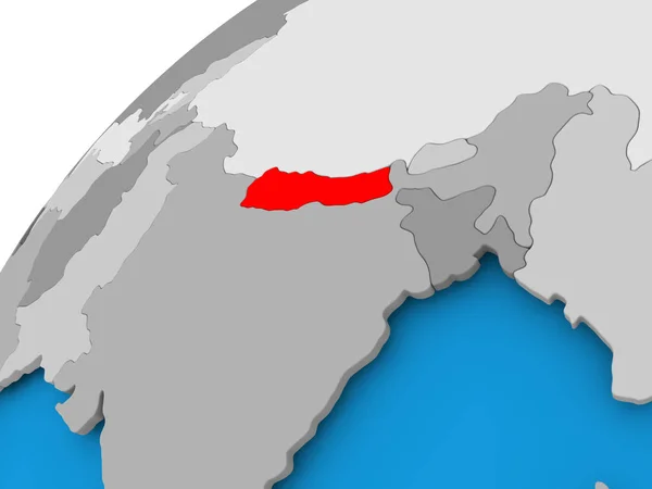
Nepal in red on blue model of political globe with transparent oceans. 3D illustration.
Nepal Red Blue Model Political Globe Transparent Oceans Illustration — Stock Photo, Image
Morocco in red on map
Morocco in red on map — Stock Photo, Image
Canada and Nauru Flags on White Background
Canada Nauru Flags White Background — Stock Photo, Image
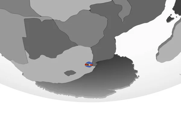
Swaziland on gray political globe with embedded flag. 3D illustration.
Swaziland Gray Political Globe Embedded Flag Illustration — Stock Photo, Image
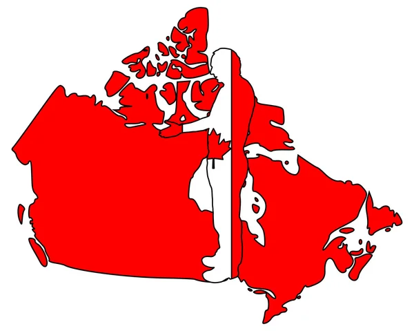
Canadian handshake
Canadian handshake — Stock Photo, Image
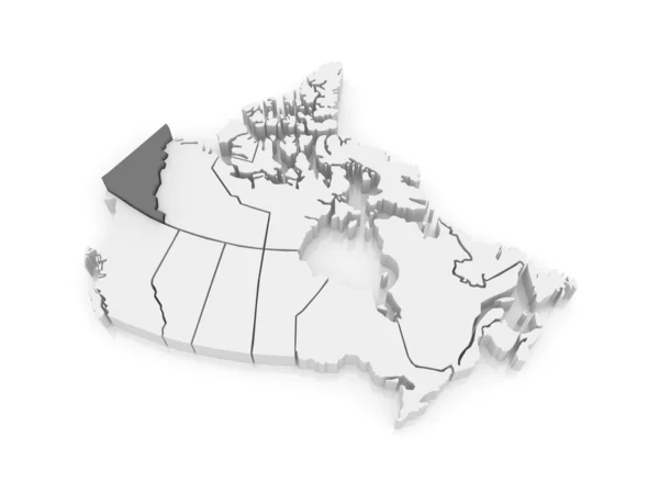
Map of Yukon. Canada.
Map of Yukon. Canada. — Stock Photo, Image
Canadia hand signal
Canadia hand signal — Stock Photo, Image
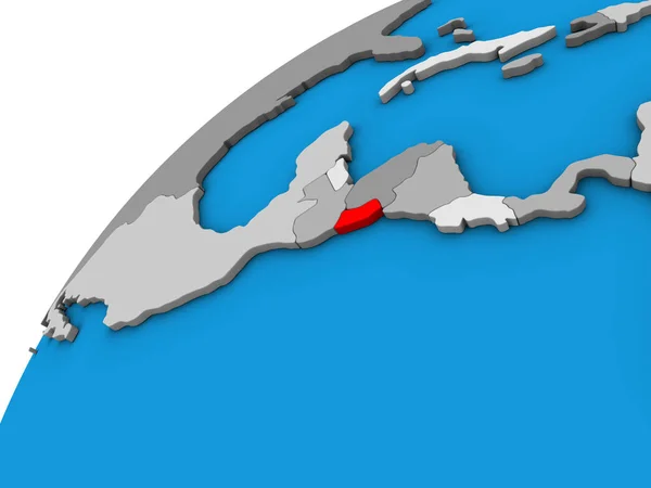
El Salvador on 3D globe. 3D illustration.
Salvador Globe Illustration — Stock Photo, Image
Map of Yukon. Canada.
Map of Yukon. Canada. — Stock Photo, Image
Map of Bangladesh on blue political globe
Map of Bangladesh on blue political globe — Stock Photo, Image
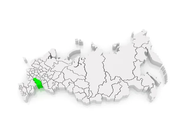
Map of the Russian Federation. Saratov region.
Map of the Russian Federation. Saratov region. — Stock Photo, Image
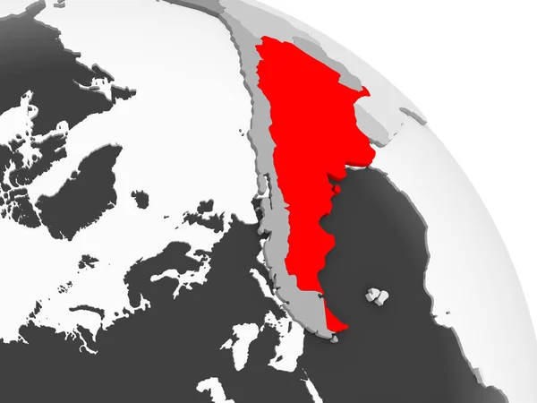
3D render of Argentina in red on grey political globe with transparent oceans. 3D illustration.
Render Argentina Red Grey Political Globe Transparent Oceans Illustration — Stock Photo, Image

Nunavut Images: Discover the Beauty of Canada's Arctic Region

Looking for stunning images that showcase the natural beauty of Nunavut? You've come to the right place! Our stock photo collection features a wide range of high-quality images that capture the essence of this unique and remote region in Canada. Whether you're a designer, marketer, blogger, or simply looking for inspiration, our Nunavut images are perfect for a variety of projects.

Types of Images Available

Our collection of Nunavut images includes a variety of types, from scenic landscapes to wildlife and cultural events. You'll find breathtaking photos of the aurora borealis, the vast Arctic tundra, and towering ice formations that will leave you in awe. Our collection also includes vivid images of the region's iconic polar bears, caribou, and other wildlife, as well as photos of indigenous communities and their cultural practices.
Where and How to Use Nunavut Images

Our Nunavut images can be used in a variety of contexts, such as websites, social media, print materials, and more. They are ideal for travel and tourism promotions, environmental campaigns, educational materials, and cultural events. When using our images, it's important to consider the tone and message of your project and choose images that align with your goals. For instance, a promotional brochure for a luxury Arctic cruise may feature stunning landscapes and wildlife shots, while a blog post about indigenous culture may focus on portraits of local people and their traditions.

Tips for Using Images Effectively

Using images effectively can make a big difference in the impact of your project. Here are some practical tips to keep in mind:

1. Choose images that are relevant to your topic and reflect your message. 2. Use high-quality images that are clear and visually appealing. 3. Consider the context and medium of your project when selecting images. 4. Use images sparingly and strategically to avoid cluttering your layout. 5. Add captions or descriptions to help contextualize your images and provide additional information.
Conclusion

In conclusion, our collection of Nunavut images offers a vast and diverse range of high-quality visuals to suit a variety of design needs. No matter what type of project you're working on, our images can help you capture the beauty and essence of Canada's Arctic region. By using them effectively and strategically, you can elevate your project and engage your audience with stunning visuals that leave a lasting impression. Browse our collection today and let the beauty of Nunavut inspire your next project!