Plateau Stock Photos

100,000 Plateau pictures are available under a royalty-free license

  • Best Match
  • Fresh
  • Popular
1-100 of 100,000
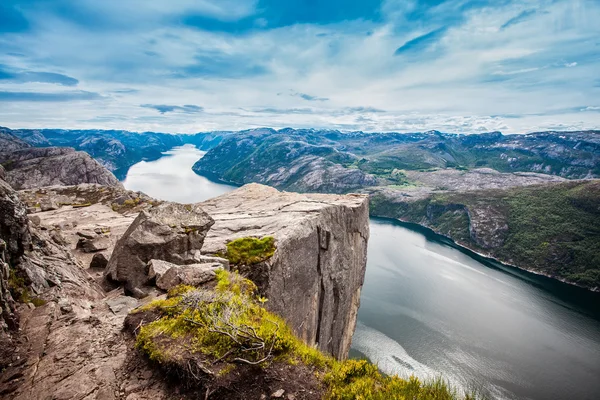
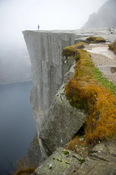
Preikestolen or Prekestolen
Preikestolen or Prekestolen — Stock Photo, Image
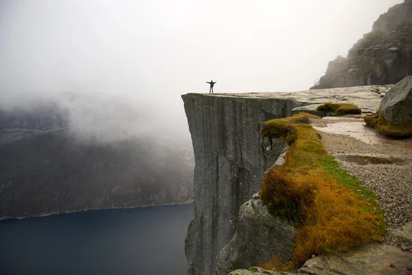
Preikestolen, Pulpit Rock
Preikestolen, Pulpit Rock — Stock Photo, Image
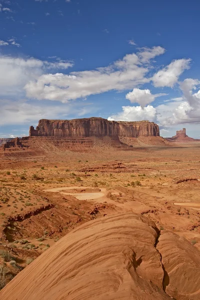
Arizona Desert Landscape
Arizona Desert Landscape — Stock Photo, Image
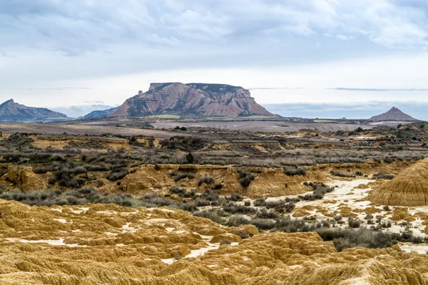
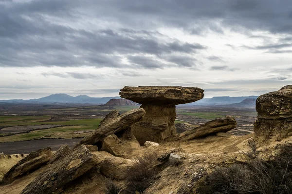
Plateau in Bardenas Reales
Plateau in Bardenas Reales — Stock Photo, Image
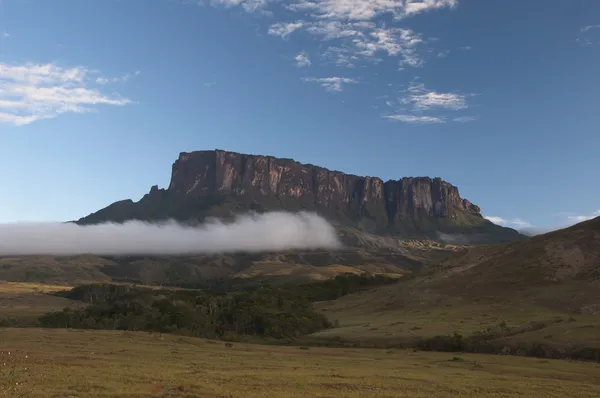
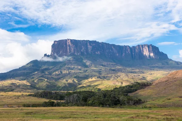
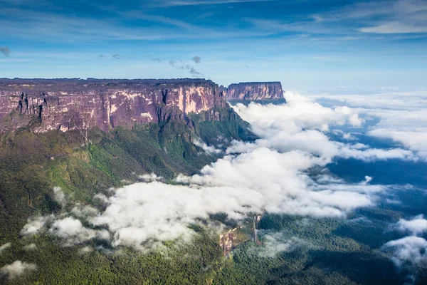
Roraima plateau. Venezuela
Roraima plateau. Venezuela — Stock Photo, Image
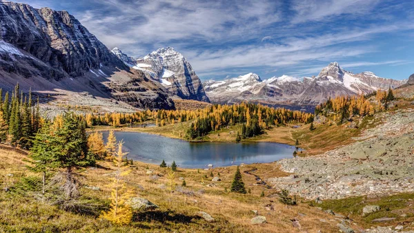
Autumn at the Opabin Plateau
Autumn at the Opabin Plateau — Stock Photo, Image
Hikers
Hikers — Stock Photo, Image
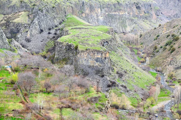
Green plateau in Armenia mountains
Green plateau in Armenia mountains — Stock Photo, Image
Breakfast served on a tray
Breakfast served on a tray — Stock Photo, Image
Autumn evening mountain plateau landscape (Carpathian, Ukraine)
Autumn evening mountain plateau landscape (Carpathian, Ukraine) — Stock Photo, Image
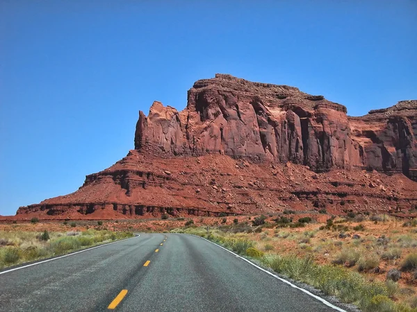
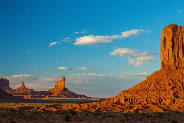
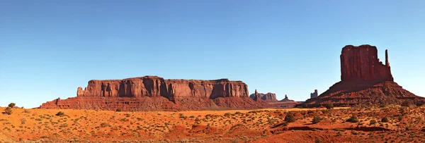
Monument Valley, U.S.A.
Monument Valley, U.S.A. — Stock Photo, Image
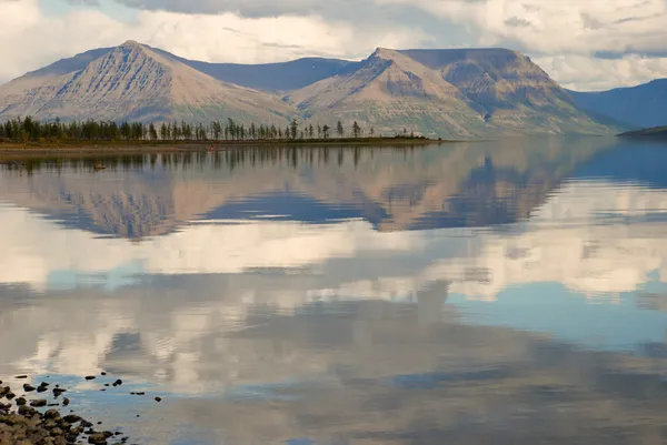
Lake Lama and reflected in the water clouds and mountains of the
Lake Lama and reflected in the water clouds and mountains of the — Stock Photo, Image
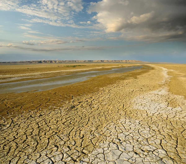
Turgai riverbed
Turgai riverbed — Stock Photo, Image
Conceptual photo of unlocking secret of weight loss, Isolated on white
Conceptual photo of unlocking secret of weight loss, Isolated on white — Stock Photo, Image
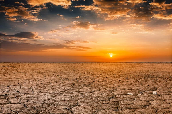
Cracked earth soil sunset landscape
Cracked earth soil sunset landscape — Stock Photo, Image
Idyllic scenery in Monument Valley, Arizona, at sunset
Idyllic scenery in Monument Valley, Arizona, at sunset — Stock Photo, Image
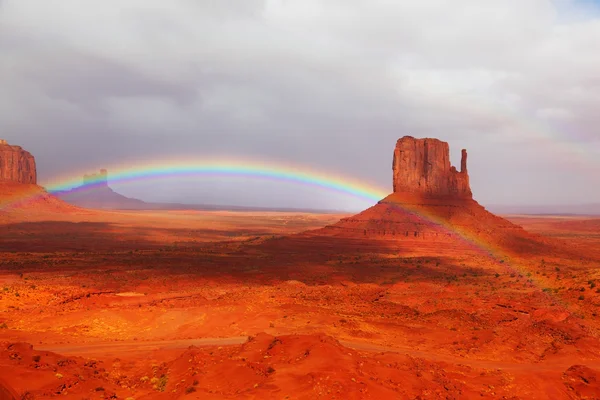
Famous "Mittens" after the storm
Famous "Mittens" after the storm — Stock Photo, Image
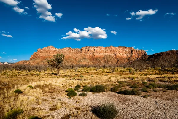
Panorama on kolob plateau
Panorama on kolob plateau — Stock Photo, Image
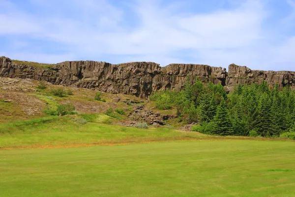
Thingvellir
Thingvellir — Stock Photo, Image
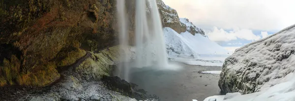
Iceland Nature
Iceland Nature — Stock Photo, Image
Preikestolen, Pulpit Rock
Preikestolen, Pulpit Rock — Stock Photo, Image
Plateau Lagonaki.
Plateau Lagonaki. — Stock Photo, Image
Monument Valley pano
Monument Valley pano — Stock Photo, Image
Mount Roraima Venezuela
Mount Roraima Venezuela — Stock Photo, Image
Sunset when the mountains
Sunset when the mountains — Stock Photo, Image
High tock in Bardenas Reales
High tock in Bardenas Reales — Stock Photo, Image
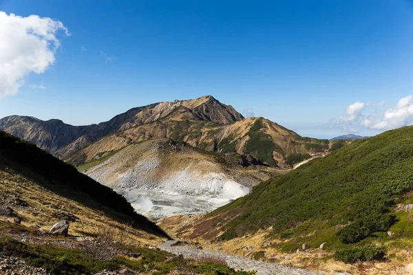
Hell Valley in Murodo
Hell Valley in Murodo — Stock Photo, Image
View from the Roraima tepui on Kukenan tepui at the fog - Venezuela, Latin America
View from the Roraima tepui on Kukenan tepui at the fog - Venezuela, Latin America — Stock Photo, Image
Big rock
Big rock — Stock Photo, Image
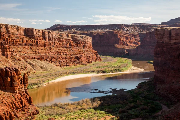
Views of Canyonlands National Park
Views of Canyonlands National Park — Stock Photo, Image
Texture background of ceramic wall and floor tiles. Interior home decor. Seamless texture map for 3D graphics. Wallpaper, textile, web page background.
Texture Background Ceramic Wall Floor Tiles Interior Home Decor Seamless — Stock Photo, Image
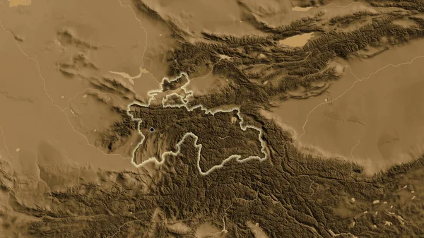
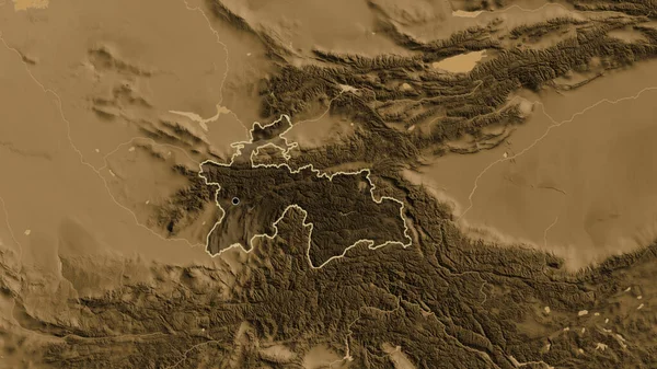
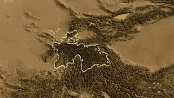
Close-up of the Tajikistan border area highlighting with a dark overlay on a sepia elevation map. Capital point. Glow around the country shape.
Close Tajikistan Border Area Highlighting Dark Overlay Sepia Elevation Map — Stock Photo, Image
Close-up of the Tajikistan border area on a sepia elevation map. Capital point. Glow around the country shape.
Close Tajikistan Border Area Sepia Elevation Map Capital Point Glow — Stock Photo, Image
Colorful green countryside field and grass. Summer time. 2d illustration. Oil painting landscape art. Rural mountain region.
Colorful Green Countryside Field Grass Summer Time Illustration Oil Painting — Stock Photo, Image
Hela, province of Papua New Guinea. Colored shader data with lakes and rivers. Shape outlined against its country area. 3D rendering
Hela Province Papua New Guinea Colored Shader Data Lakes Rivers — Stock Photo, Image
Nigeria. Close-up perspective of the country - no outline. grayscale elevation map
Nigeria Close Perspective Country Outline Grayscale Elevation Map — Stock Photo, Image
2d illustration. Wild mountains. Digital art. Handmade digital painting.
Illustration Wild Mountains Digital Art Handmade Digital Painting — Stock Photo, Image
Area of Steiermark, state of Austria, isolated on a solid background in a georeferenced bounding box. Labels. Bilevel elevation map. 3D rendering
Area Steiermark State Austria Isolated Solid Background Georeferenced Bounding Box — Stock Photo, Image
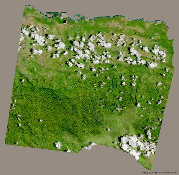
Shape of Trelawny, parish of Jamaica, with its capital isolated on a solid color background. Satellite imagery. 3D rendering
Shape Trelawny Parish Jamaica Its Capital Isolated Solid Color Background — Stock Photo, Image
Close-up of the Tajikistan border area highlighting with a dark overlay on a sepia elevation map. Capital point. Outline around the country shape.
Close Tajikistan Border Area Highlighting Dark Overlay Sepia Elevation Map — Stock Photo, Image
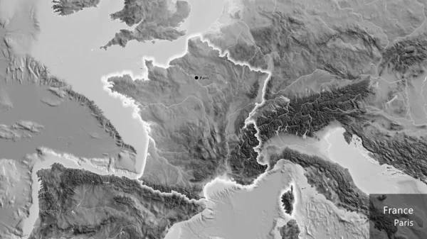
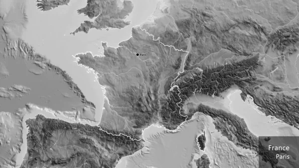
Close-up of the France border area on a grayscale map. Capital point. Glow around the country shape. English name of the country and its capital
Close France Border Area Grayscale Map Capital Point Glow Country — Stock Photo, Image
Viljandi, county of Estonia. Grayscaled map with lakes and rivers. Shape outlined against its country area. 3D rendering
Viljandi County Estonia Grayscaled Map Lakes Rivers Shape Outlined Its — Stock Photo, Image
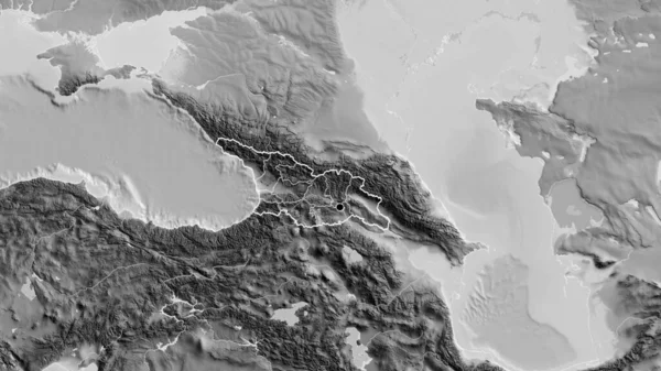
Close-up of the Georgia border area and its regional borders on a grayscale map. Capital point. Outline around the country shape.
Close Georgia Border Area Its Regional Borders Grayscale Map Capital — Stock Photo, Image
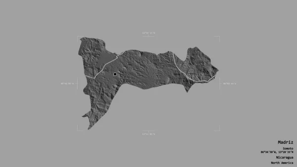
Area of Madriz, department of Nicaragua, isolated on a solid background in a georeferenced bounding box. Labels. Bilevel elevation map. 3D rendering
Area Madriz Department Nicaragua Isolated Solid Background Georeferenced Bounding Box — Stock Photo, Image
Texture background of ceramic wall and floor tiles. Interior home decor. Seamless texture map for 3D graphics. Wallpaper, textile, web page background.
Texture Background Ceramic Wall Floor Tiles Interior Home Decor Seamless — Stock Photo, Image
Abstract silhouetted background with misty mountains
Abstract Silhouetted Background Misty Mountains — Stock Photo, Image
Close-up of agrayscale map centered on North Korea
Close Agrayscale Map Centered North Korea — Stock Photo, Image
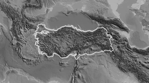
Turkey area enlarged and glowed on a darkened background of its surroundings. Grayscale bumped elevation map
Turkey Area Enlarged Glowed Darkened Background Its Surroundings Grayscale Bumped — Stock Photo, Image
Turkey area enlarged and glowed on a darkened background of its surroundings. Grayscale bumped elevation map
Turkey Area Enlarged Glowed Darkened Background Its Surroundings Grayscale Bumped — Stock Photo, Image
Colorful green countryside field and grass. Summer time. 2d illustration. Oil painting landscape art. Rural mountain region.
Colorful Green Countryside Field Grass Summer Time Illustration Oil Painting — Stock Photo, Image
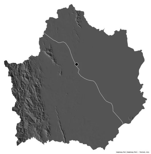
Shape of Kamphaeng Phet, province of Thailand, with its capital isolated on white background. Bilevel elevation map. 3D rendering
Shape Kamphaeng Phet Province Thailand Its Capital Isolated White Background — Stock Photo, Image
Abstract silhouetted background with misty mountains
Abstract Silhouetted Background Misty Mountains — Stock Photo, Image
Kosovo area enlarged and glowed on a darkened background of its surroundings. Grayscale bumped elevation map
Kosovo Area Enlarged Glowed Darkened Background Its Surroundings Grayscale Bumped — Stock Photo, Image
Kosovo area enlarged and glowed on a darkened background of its surroundings. Grayscale bumped elevation map
Kosovo Area Enlarged Glowed Darkened Background Its Surroundings Grayscale Bumped — Stock Photo, Image
Kosovo area enlarged and glowed on a darkened background of its surroundings. Grayscale bumped elevation map
Kosovo Area Enlarged Glowed Darkened Background Its Surroundings Grayscale Bumped — Stock Photo, Image
Kosovo area enlarged and glowed on a darkened background of its surroundings. Grayscale bumped elevation map
Kosovo Area Enlarged Glowed Darkened Background Its Surroundings Grayscale Bumped — Stock Photo, Image
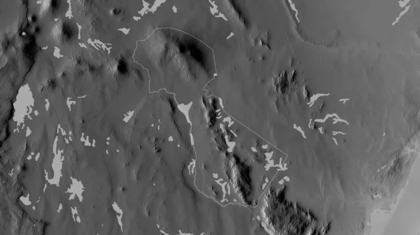
Kilimanjaro, region of Tanzania. Grayscaled map with lakes and rivers. Shape outlined against its country area. 3D rendering
Kilimanjaro Region Tanzania Grayscaled Map Lakes Rivers Shape Outlined Its — Stock Photo, Image
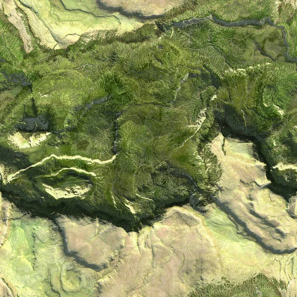
Aerial view from air plane of mountains seamless texture background. 3d illustration
Aerial view from air plane of mountains seamless texture background. 3d illustration — Stock Photo, Image
2d illustration. Oil painting landscape art. Rural mountain region. Colorful green field and grass. Summer time. Countryside.
Illustration Oil Painting Landscape Art Rural Mountain Region Colorful Green — Stock Photo, Image
Mountain landscape in the mountains
Mountain Landscape Mountains — Stock Photo, Image
View of mountain landscape at night
View Mountain Landscape Night — Stock Photo, Image
2d illustration. Skyscraper city metropolis. Digital art. Handmade digital painting.
Illustration Skyscraper City Metropolis Digital Art Handmade Digital Painting — Stock Photo, Image
Abstract silhouetted background with misty mountains
Abstract Silhouetted Background Misty Mountains — Stock Photo, Image
Abstract silhouetted background with misty mountains
Abstract Silhouetted Background Misty Mountains — Stock Photo, Image
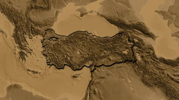
Close-up of the Turkiye border area on a sepia elevation map. Capital point. Bevelled edges of the country shape.
Close Turkiye Border Area Sepia Elevation Map Capital Point Bevelled — Stock Photo, Image
Close-up of the France border area on a grayscale map. Capital point. Outline around the country shape. English name of the country and its capital
Close France Border Area Grayscale Map Capital Point Outline Country — Stock Photo, Image
Background With Bokeh And Bright Lights. Vintage Magic Background With Color Festive background with natural bokeh and bright lights
Background Bokeh Bright Lights Vintage Magic Background Color Festive Background — Stock Photo, Image
Background With Bokeh And Bright Lights. Vintage Magic Background With Color Festive background with natural bokeh and bright lights
Background Bokeh Bright Lights Vintage Magic Background Color Festive Background — Stock Photo, Image
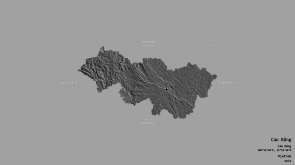
Area of Cao Bang, province of Vietnam, isolated on a solid background in a georeferenced bounding box. Labels. Bilevel elevation map. 3D rendering
Area Cao Bang Province Vietnam Isolated Solid Background Georeferenced Bounding — Stock Photo, Image
Area of Sabha, district of Libya, isolated on a solid background in a georeferenced bounding box. Labels. Bilevel elevation map. 3D rendering
Area Sabha District Libya Isolated Solid Background Georeferenced Bounding Box — Stock Photo, Image
Colorful green countryside field and grass. Summer time. 2d illustration. Oil painting landscape art. Rural mountain region.
Colorful Green Countryside Field Grass Summer Time Illustration Oil Painting — Stock Photo, Image
Saint Elizabeth, parish of Jamaica. Grayscaled map with lakes and rivers. Shape outlined against its country area. 3D rendering
Saint Elizabeth Parish Jamaica Grayscaled Map Lakes Rivers Shape Outlined — Stock Photo, Image
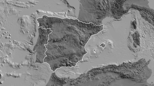
Close-up of the Spain border area on a bilevel map. Capital point. Outline around the country shape.
Close Spain Border Area Bilevel Map Capital Point Outline Country — Stock Photo, Image
Abstract silhouetted background with misty mountains
Abstract Silhouetted Background Misty Mountains — Stock Photo, Image
Turkey area on the bilevel elevation map in the stereographic projection - raw composition of raster layers with light glowing outline
Turkey Area Bilevel Elevation Map Stereographic Projection Raw Composition Raster — Stock Photo, Image
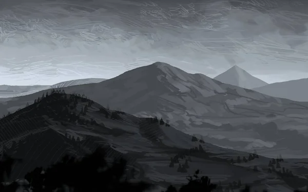
2d illustration. Wild mountains. Digital art. Handmade digital painting.
Illustration Wild Mountains Digital Art Handmade Digital Painting — Stock Photo, Image
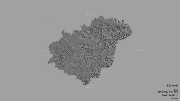
Area of Zlinsky, region of Czech Republic, isolated on a solid background in a georeferenced bounding box. Labels. Bilevel elevation map. 3D rendering
Area Zlinsky Region Czech Republic Isolated Solid Background Georeferenced Bounding — Stock Photo, Image
Abstract silhouetted background with misty mountains
Abstract Silhouetted Background Misty Mountains — Stock Photo, Image
2d illustration. Mountains Scotland. Digital painting art. Hand made drawing.
Illustration Mountains Scotland Digital Painting Art Hand Made Drawing — Stock Photo, Image
2d illustration. Mountains Scotland. Digital painting art. Hand made drawing.
Illustration Mountains Scotland Digital Painting Art Hand Made Drawing — Stock Photo, Image
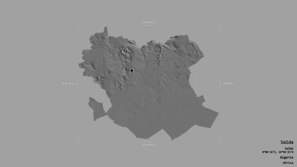
Area of Saida, province of Algeria, isolated on a solid background in a georeferenced bounding box. Labels. Bilevel elevation map. 3D rendering
Area Saida Province Algeria Isolated Solid Background Georeferenced Bounding Box — Stock Photo, Image
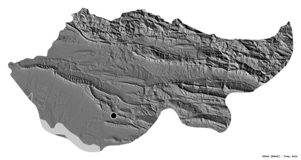
Shape of Dihok, province of Iraq, with its capital isolated on white background. Bilevel elevation map. 3D rendering
Shape Dihok Province Iraq Its Capital Isolated White Background Bilevel — Stock Photo, Image
Turkey area on the bilevel elevation map in the stereographic projection - raw composition of raster layers with dark glowing outline
Turkey Area Bilevel Elevation Map Stereographic Projection Raw Composition Raster — Stock Photo, Image
Abstract pastel soft colorful smooth blurred textured background off focus toned. Use as wallpaper or for web design
Abstract Pastel Soft Colorful Smooth Blurred Textured Background Focus Toned — Stock Photo, Image
Digital Render Dreamy Orange Yellow Landscape Horizon
Digital Render Dreamy Orange Yellow Landscape Horizon — Stock Photo, Image
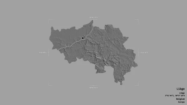
Area of Liege, province of Belgium, isolated on a solid background in a georeferenced bounding box. Labels. Bilevel elevation map. 3D rendering
Area Liege Province Belgium Isolated Solid Background Georeferenced Bounding Box — Stock Photo, Image
2d illustration. Wild mountains. Digital art. Handmade digital painting.
Illustration Wild Mountains Digital Art Handmade Digital Painting — Stock Photo, Image
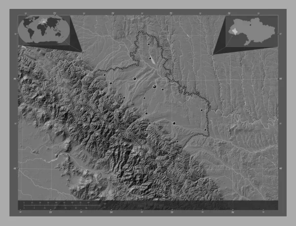
Ivano-Frankivs'k, region of Ukraine. Bilevel elevation map with lakes and rivers. Locations of major cities of the region. Corner auxiliary location maps
Ivano Frankivs Region Ukraine Bilevel Elevation Map Lakes Rivers Locations — Stock Photo, Image
Area of Suhbaatar, province of Mongolia, isolated on a solid background in a georeferenced bounding box. Labels. Bilevel elevation map. 3D rendering
Area Suhbaatar Province Mongolia Isolated Solid Background Georeferenced Bounding Box — Stock Photo, Image
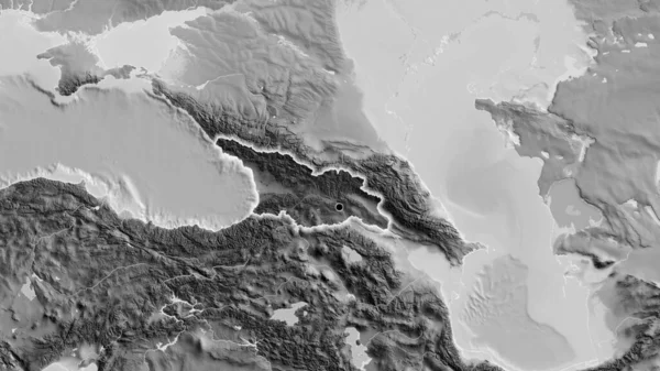
Close-up of the Georgia border area highlighting with a dark overlay on a grayscale map. Capital point. Glow around the country shape.
Close Georgia Border Area Highlighting Dark Overlay Grayscale Map Capital — Stock Photo, Image
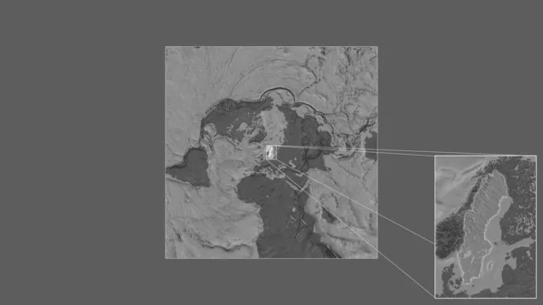
Expanded and enlarged area of Sweden extracted from the large-scale map of the world with leading lines connecting the corners of the frames. Bilevel elevation map
Expanded Enlarged Area Sweden Extracted Large Scale Map World Leading — Stock Photo, Image
Creative pattern. Stone pattern. Ceramic texture. wallpaper design. Vector pattern. Repeat lines.
Creative Pattern Stone Pattern Ceramic Texture Wallpaper Design Vector Pattern — Stock Photo, Image
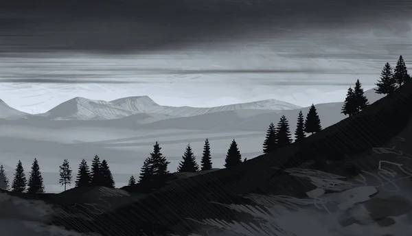
Abstract foggy mountains landscape with trees, natural background
Abstract Foggy Mountains Landscape Trees Natural Background — Stock Photo, Image
Scenic view of mountainous scene with trees
Scenic View Mountainous Scene Trees — Stock Photo, Image
Close-up of the Turkiye border area on a grayscale map. Capital point. Glow around the country shape.
Close Turkiye Border Area Grayscale Map Capital Point Glow Country — Stock Photo, Image
Background With Bokeh And Bright Lights. Vintage Magic Background With Color Festive background with natural bokeh and bright lights
Background Bokeh Bright Lights Vintage Magic Background Color Festive Background — Stock Photo, Image
2d illustration. Mountains Scotland. Digital painting art. Hand made drawing.
Illustration Mountains Scotland Digital Painting Art Hand Made Drawing — Stock Photo, Image
Abstract silhouetted background with misty mountains
Abstract Silhouetted Background Misty Mountains — Stock Photo, Image
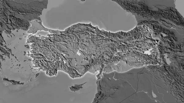
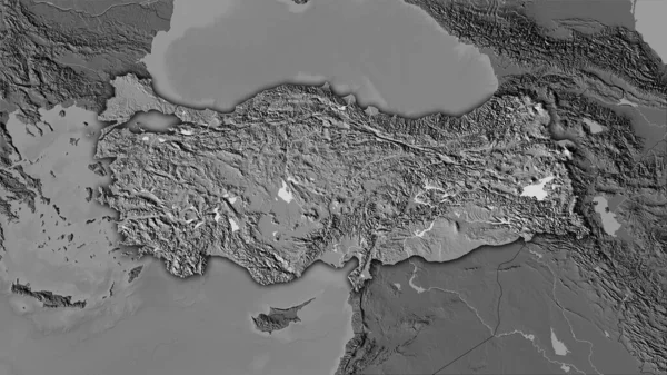
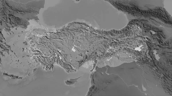
Turkey area on the grayscale elevation map in the stereographic projection - raw composition of raster layers
Turkey Area Grayscale Elevation Map Stereographic Projection Raw Composition Raster — Stock Photo, Image

Choose Stock Plateau Images that Set Your Project Apart

Do you need images that showcase the grandeur of a plateau? You’ve come to the right place! We offer stock plateau images that are sure to elevate your project. Our collection includes high-quality JPG, AI, and EPS formats that can be used for a variety of applications. Whether you’re creating a website or designing a brochure, our plateau images will add the visual appeal you need to make a lasting impression.

The Different Types of Plateau Images Available

Our plateau image collection features a variety of types, such as mountainous landscapes, rock formations, and flat plains. You can choose from images that capture different times of day, such as the hues of dawn or the glowing sunshine of the afternoon. Our collection also includes aerial views that showcase the vastness and scale of a plateau. Whatever your project needs, our plateau images help bring your ideas to life.

The Perfect Application for Plateau Images

Looking to create an awe-inspiring travel brochure or a website for a scenic resort? Our plateau images are just what you need. They can also be used by graphic designers to craft promotional materials for outdoor recreation companies or advertisements for energy-themed initiatives. The extensive array of our images means you’ll be able to find visuals perfectly suited to the tone of your particular project.

Tips for Choosing the Right Plateau Images

While our different plateau images offer an array of visual appeal, selecting the right one for your project takes some thought. Be sure to consider the intended audience of your project and the message you want to convey. When selecting an image, make sure it’s high-resolution so it will appear clear and vibrant in a variety of applications. You can also experiment with our plateau images to achieve different effects, such as using a sepia-tone image to create a nostalgic or vintage feel. By choosing the right plateau image, you can rest assured that your project will leave a lasting impression.
At [Company Name], we offer a wide range of high-quality stock plateau images that cater to a variety of project needs. Our images are available in JPG, AI, and EPS formats, which makes them versatile for use in different applications. Our vast collection of images and types means you can choose the perfect plateau image that adds exceptional visual appeal to your project. So, what are you waiting for? Browse our plateau image collection today and elevate your project to the next level!