Lithuania map Stock Vector Images

100,000 Lithuania map vector art & graphics are available under a royalty-free license

  • Best Match
  • Fresh
  • Popular
1-100 of 100,000
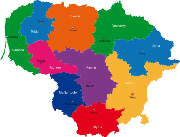
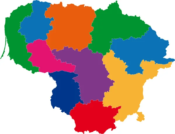
Lithuania map
Lithuania map — Stock Vector
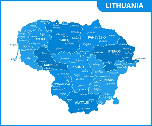
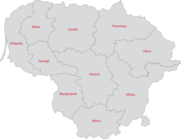
The detailed map of Lithuania with regions or states and cities, capital. Administrative division
Detailed Map Lithuania Regions States Cities Capital Administrative Division — Stock Vector
Lithuania map - vector shape
Lithuania map - vector shape — Stock Vector
Lithuania map card paper 3D natural
Lithuania map card paper 3D natural — Stock Vector
Lithuania map
Lithuania map — Stock Vector
Lithuania map in gray on a white background
Lithuania map in gray on a white background — Stock Vector
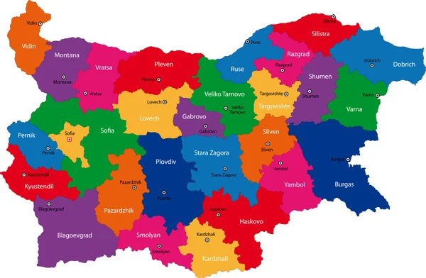
Bulgaria
Bulgaria — Stock Vector
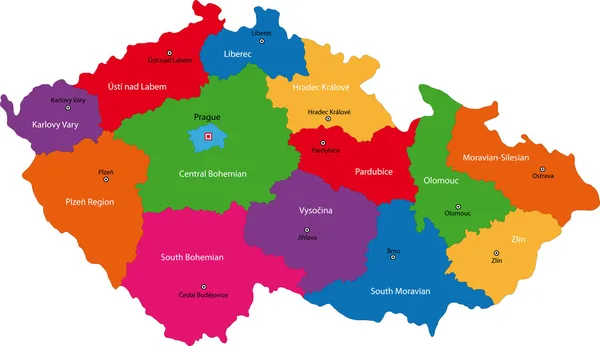
Czech Republic map
Czech Republic map — Stock Vector
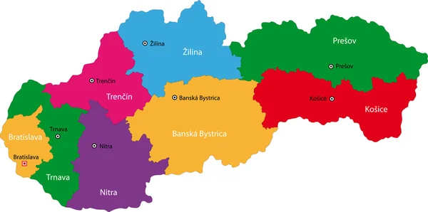
Slovakia map
Slovakia map — Stock Vector
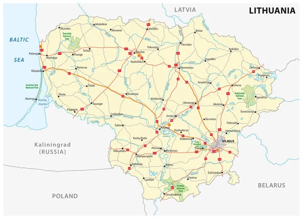
Lithuania road and national park map
Lithuania road and national park map — Stock Vector
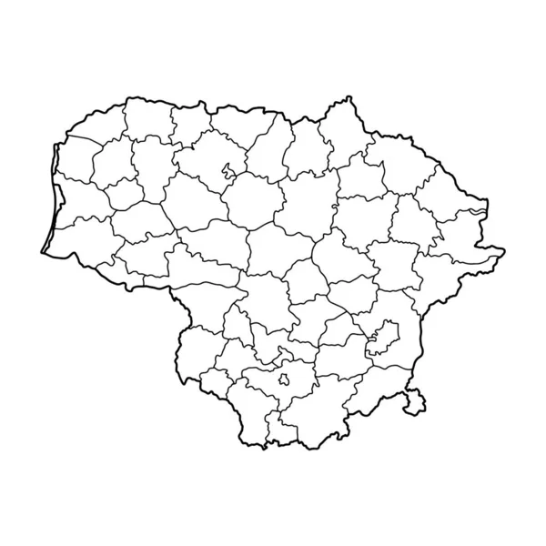
Outline map of Lithuania white background. Vector map with contour.
Outline Map Lithuania White Background Vector Map Contour — Stock Vector
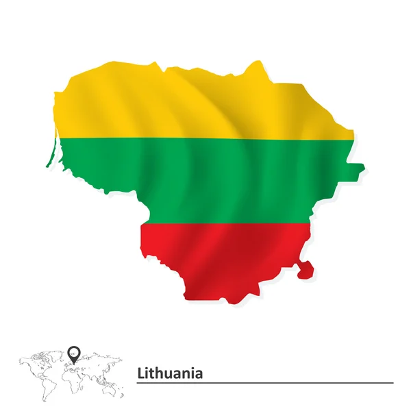
Map of Lithuania with flag
Map of Lithuania with flag — Stock Vector
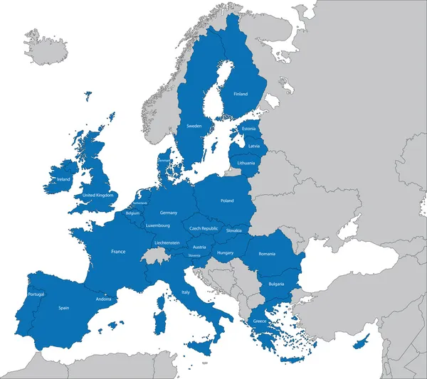
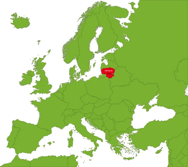
Europe and European Union map with indication of Lithuania
Europe and European Union map with indication of Lithuania — Stock Vector
Lithuania map
Lithuania map — Stock Vector
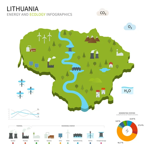
Energy industry and ecology of Lithuania
Energy industry and ecology of Lithuania — Stock Vector
World map with magnified Lithuania
World map with magnified Lithuania — Stock Vector
Map of Lithuania
Map of Lithuania — Stock Vector
European Union
European Union — Stock Vector
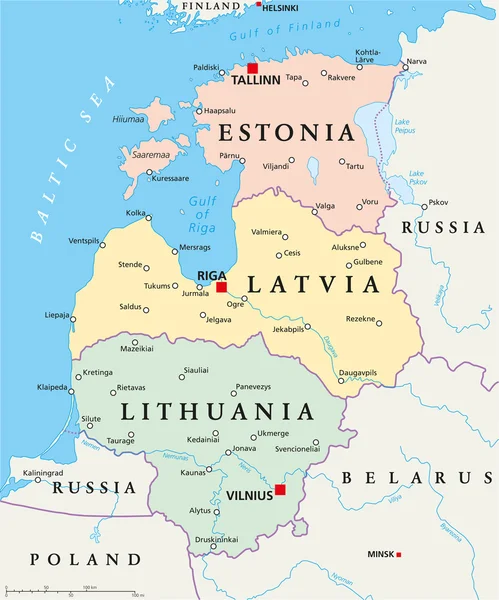
Baltic States Political Map
Baltic States Political Map — Stock Vector
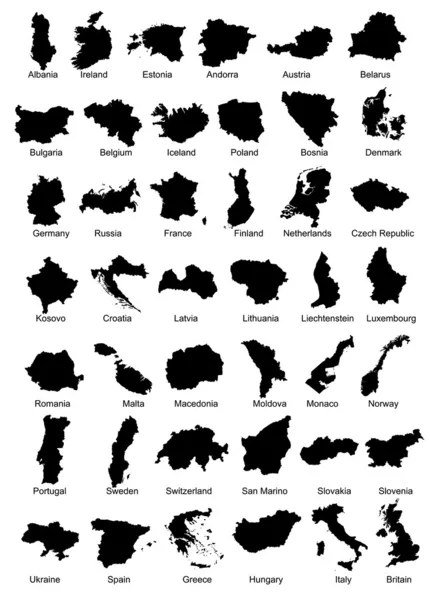
42 Europe Country Maps
42 Europe Country Maps — Stock Vector
Outline Lithuania map
Outline Lithuania map — Stock Vector
Black Location Map of Polish West Pomeranian Province within Grey Map of Poland
Black Location Map Polish West Pomeranian Province Grey Map Poland — Stock Vector
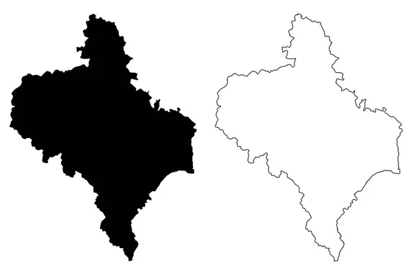
Ivano-Frankivsk Oblast map vecto
Ivano-Frankivsk Oblast map vecto — Stock Vector
Handan City (People's Republic of China, Hebei Province) map vector illustration, scribble sketch City of Hantan map
Handan City People Republic China Hebei Province Map Vector Illustration — Stock Vector
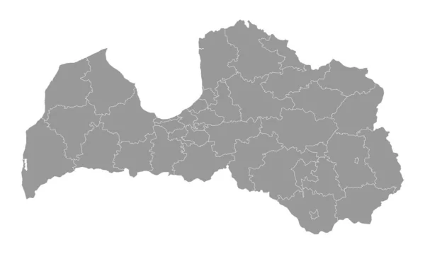
Latvia gray map with administrative division. Vector illustration.
Latvia Gray Map Administrative Division Vector Illustration — Stock Vector
Latvia - detailed country outline and location on world map. Vector illustration
Latvia Detailed Country Outline Location World Map Vector Illustration — Stock Vector
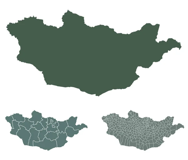
Mongolia map outline vector with administrative borders, regions, municipalities, departments in black white colors. Infographic design template map.
Mongolia Map Outline Vector Administrative Borders Regions Municipalities Departments Black — Stock Vector
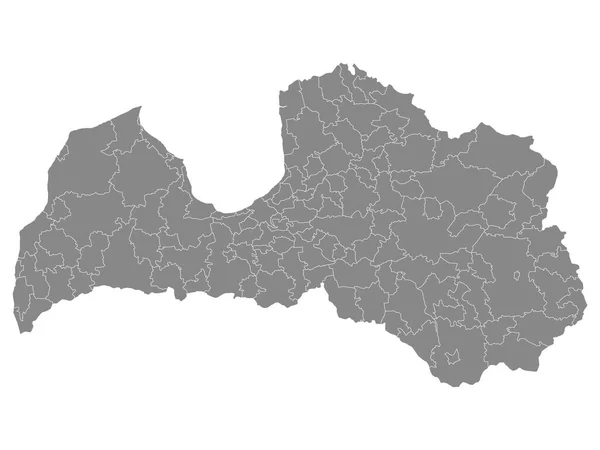
Grey Municipalities Map of European Country of Latvia
Grey Municipalities Map European Country Latvia — Stock Vector
Fier county map, administrative subdivisions of Albania. Vector illustration.
Fier County Map Administrative Subdivisions Albania Vector Illustration — Stock Vector
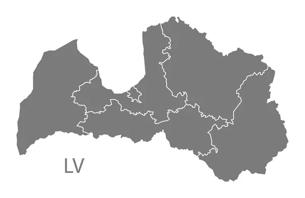
Latvia regions Map grey
Latvia regions Map grey — Stock Vector
GrandAnse department (Republic of Haiti, Hayti, Hispaniola, Departments of Haiti) map vector illustration, scribble sketch Grand'Anse ma
GrandAnse department (Republic of Haiti, Hayti, Hispaniola, Departments of Haiti) map vector illustration, scribble sketch Grand'Anse ma — Stock Vector
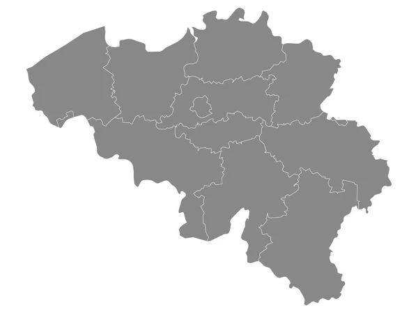
Gray Regions Map of European Country of Belgium
Gray Regions Map European Country Belgium — Stock Vector
Kent county administrative map isolated on white background, England
Kent County Administrative Map Isolated White Background England — Stock Vector
Guinea vector country map silhouette
Guinea vector country map silhouette — Stock Vector
Highly detailed Democratic Republic of the Congo map with borders isolated on background
Highly Detailed Democratic Republic Congo Map Borders Isolated Background — Stock Vector
Black Location Map of Belgian Province of Antwerp within Grey Map of Belgium
Black Location Map Belgian Province Antwerp Grey Map Belgium — Stock Vector
Grand Est dark silhouette map isolated on white background, France
Grand Est Dark Silhouette Map Isolated White Background France — Stock Vector
High detailed vector map of Belarus with navigation pins.
High detailed vector map of Belarus with navigation pins. — Stock Vector
Carinthia state, silhouette map isolated on white background, Austria
Carinthia State Silhouette Map Isolated White Background Austria — Stock Vector
Rangpur division map, administrative division of Bangladesh.
Rangpur Division Map Administrative Division Bangladesh — Stock Vector
Latvia map
Latvia map — Stock Vector
Kanto map green icon
Kanto map green icon — Stock Vector
Black flat blank highlighted location map of the KALUSH RAION inside gray raions map of the Ukrainian administrative area of Ivano-Frankivsk Oblast, Ukraine
Black Flat Blank Highlighted Location Map Kalush Raion Gray Raions — Stock Vector
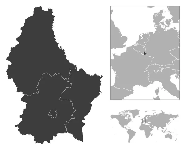
Luxembourg - detailed country outline and location on world map. Vector illustration
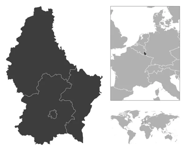
Luxembourg Detailed Country Outline Location World Map Vector Illustration — Stock Vector
Latvia administrative map isolated on white background
Latvia Administrative Map Isolated White Background — Stock Vector
Luxembourg - detailed country outline and location on world map. Vector illustration
Luxembourg Detailed Country Outline Location World Map Vector Illustration — Stock Vector
Parwan Province map vecto
Parwan Province map vecto — Stock Vector
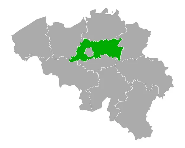
Map of Flemish Brabant in Belgium
Map Flemish Brabant Belgium — Stock Vector
Black Flat Map of Bulgarian Empire (year 814) inside Gray Map of European Continent
Black Flat Map Bulgarian Empire Year 814 Gray Map European — Stock Vector
Hand Drawn Latvia Map Illustration
Hand Drawn Latvia Map Illustration — Stock Vector
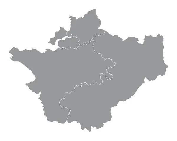
Cheshire county administrative map isolated on white background, England
Cheshire County Administrative Map Isolated White Background England — Stock Vector
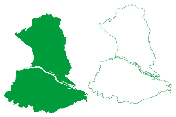
Barcelos municipality (Amazonas state, Municipalities of Brazil, Federative Republic of Brazil) map vector illustration, scribble sketch Barcellos or Mariua map
Barcelos Municipality Amazonas State Municipalities Brazil Federative Republic Brazil Map — Stock Vector
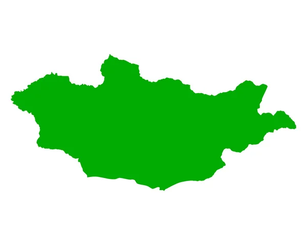
Accurate map of Mongolia
Accurate map of Mongolia — Stock Vector
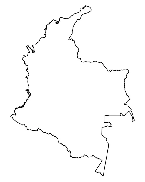
Accurate map of Colombia
Accurate map of Colombia — Stock Vector
Belarus
Belarus — Stock Vector
Black Flat Map of Voivodeship of Moldavia (year 1812) inside Gray Map of European Continent
Black Flat Map Voivodeship Moldavia Year 1812 Gray Map European — Stock Vector
Luxembourg province map, Belgium provinces. Vector illustration.
Luxembourg Province Map Belgium Provinces Vector Illustration — Stock Vector
Illustrated Country Shape of Cambodia
Illustrated Country Shape of Cambodia — Stock Vector
Hand Drawn Lined Cambodia Simple Map Drawing
Hand Drawn Lined Cambodia Simple Map Drawing — Stock Vector
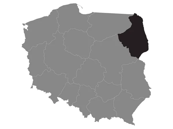
Black Location Map of Polish Podlaskie Province within Grey Map of Poland
Black Location Map Polish Podlaskie Province Grey Map Poland — Stock Vector
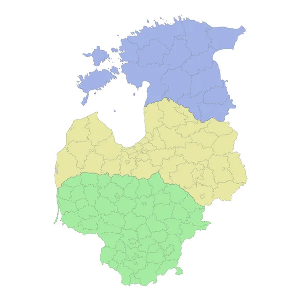
High quality political map of Lithuania,Latvia and Estonia with borders of the regions or provinces. Vector illustration
High Quality Political Map Lithuania Latvia Estonia Borders Regions Provinces — Stock Vector
Steung Treng Province (Kingdom of Cambodia, Kampuchea, Provinces of Cambodia) map vector illustration, scribble sketch Stung Treng map
Steung Treng Province (Kingdom of Cambodia, Kampuchea, Provinces of Cambodia) map vector illustration, scribble sketch Stung Treng map — Stock Vector
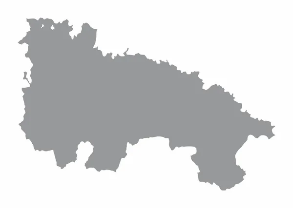
The La Rioja province map isolated on white background, Spain
Rioja Province Map Isolated White Background Spain — Stock Vector
High Quality map of Leningrad Oblast is a region of Russia with borders of the districts
High Quality Map Leningrad Oblast Region Russia Borders Districts — Stock Vector
Black Flat Map of People's Republic of Hungary (year 1956-1990) inside Gray Map of European Continent
Black Flat Map People Republic Hungary Year 1956 1990 Gray — Stock Vector
Vector Illustration of Map of Russia
Vector Illustration of Map of Russia — Stock Vector
Latvia administrative and political vector map with flag
Latvia Administrative Political Vector Map Flag — Stock Vector
Abstract Silhouette Tajikistan Simple Map
Abstract Silhouette Tajikistan Simple Map — Stock Vector
Northern Ireland map country
Northern Ireland map country — Stock Vector
Guinea Icon with Color Variations
Guinea Icon with Color Variations — Stock Vector
Ukraine map silhouette vector art
Ukraine Map Silhouette Vector Art — Stock Vector
Accurate map of Maranhao
Accurate map of Maranhao — Stock Vector
Mongolia map country icon
Mongolia map country icon — Stock Vector
High Quality map of Tambov Oblast is a region of Russia with borders of the districts
High Quality Map Tambov Oblast Region Russia Borders Districts — Stock Vector
Usak (Provinces of the Republic of Turkey) map vector illustration, scribble sketch Usak ili map
Usak Provinces Republic Turkey Map Vector Illustration Scribble Sketch Usak — Stock Vector
Malanje Province map vecto
Malanje Province map vecto — Stock Vector
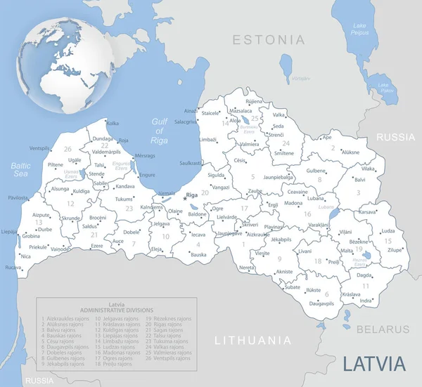
Blue-gray detailed map of Latvia administrative divisions and location on the globe.
Blue-gray detailed map of Latvia administrative divisions and location on the globe. — Stock Vector
West Flanders Province map, Provinces of Belgium. Vector illustration.
West Flanders Province Map Provinces Belgium Vector Illustration — Stock Vector
Lithuania map
Lithuania map — Stock Vector
Black Location Map of Ukrainian Region (Oblast) of Kiev within Grey Map of Ukraine
Black Location Map Ukrainian Region Oblast Kiev Grey Map Ukraine — Stock Vector
West New Britain Province (Independent State of Papua New Guinea, PNG, Provinces of Papua New Guinea) map vector illustration, scribble sketch West New Britain ma
West New Britain Province (Independent State of Papua New Guinea, PNG, Provinces of Papua New Guinea) map vector illustration, scribble sketch West New Britain ma — Stock Vector
Mindanao island (Southeast Asia, Republic of the Philippines) map vector illustration, scribble sketch Mindanao map
Mindanao Island Southeast Asia Republic Philippines Map Vector Illustration Scribble — Stock Vector
Democratic Republic of the Congo - pencil scribble sketch silhouette map of country area with dropped shadow. Simple flat vector illustration
Democratic Republic of the Congo - pencil scribble sketch silhouette map of country area with dropped shadow. Simple flat vector illustration — Stock Vector
Belgium map Country icon
Belgium map Country icon — Stock Vector
Halftone Grey Ukraine Map With Crimea
Halftone Grey Ukraine Map With Crimea — Stock Vector
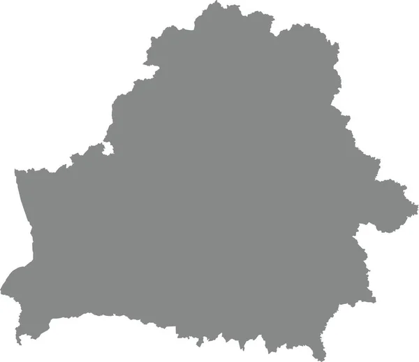
GRAY CMYK color detailed flat stencil map of the European country of BELARUS on transparent background
Gray Cmyk Color Detailed Flat Stencil Map European Country Belarus — Stock Vector
Black Flat Map of Kingdom of Poland (year 1097) inside Gray Map of European Continent
Black Flat Map Kingdom Poland Year 1097 Gray Map European — Stock Vector
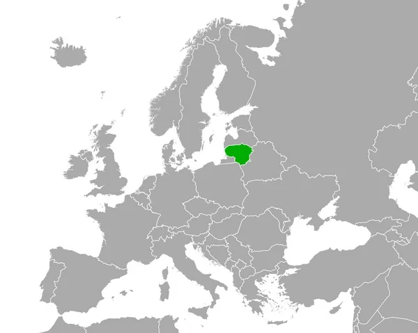
Map of Lithuania in Europe
Map Lithuania Europe — Stock Vector
Turkey national map vector image on white background
Turkey National Map Vector Image White Background — Stock Vector
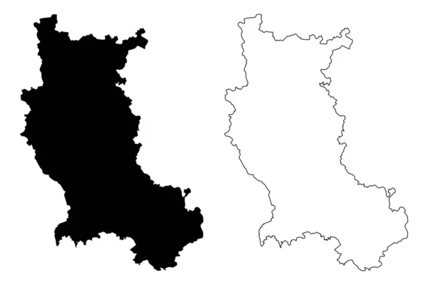
Loire Department (France, French Republic, Auvergne-Rhone-Alpes region, ARA) map vector illustration, scribble sketch Loire map
Loire Department France French Republic Auvergne Rhone Alpes Region Ara — Stock Vector
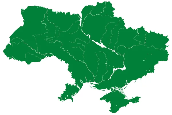
Silhouette map of Ukraine
Silhouette map of Ukraine — Stock Vector
Europe map 3d Vector illustration eps 10
Europe map 3d Vector illustration eps 10 — Stock Vector
BLACK CMYK color detailed flat stencil map of the European country of LATVIA on transparent background
Black Cmyk Color Detailed Flat Stencil Map European Country Latvia — Stock Vector
Latvia Map grey
Latvia Map grey — Stock Vector
Colombia Icon with Four Color Variations
Colombia Icon with Four Color Variations — Stock Vector
Saxony State map
Saxony State map — Stock Vector
Accurate map of Cambodia
Accurate map of Cambodia — Stock Vector
Oberwart district (Republic of Austria or Osterreich, Burgenland state) map vector illustration, scribble sketch Bezirk Oberwart map
Oberwart District Republic Austria Osterreich Burgenland State Map Vector Illustration — Stock Vector
Dortmund City (Federal Republic of Germany, North Rhine-Westphalia) map vector illustration, scribble sketch City of Dortmund map
Dortmund City (Federal Republic of Germany, North Rhine-Westphalia) map vector illustration, scribble sketch City of Dortmund map — Stock Vector
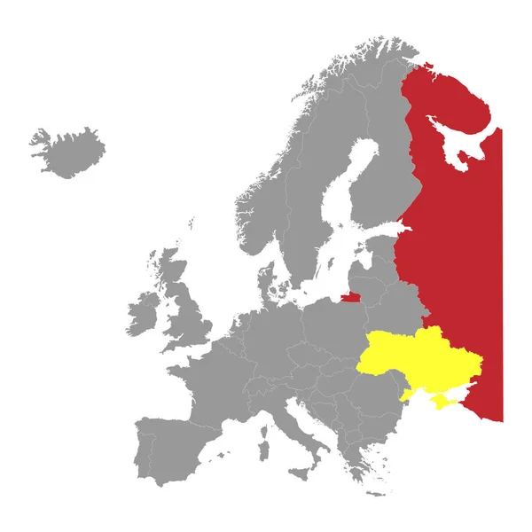
Europe map with Ukraine and Russia.
Europe Map Ukraine Russia — Stock Vector

Explore Lithuania Map Vector Images for Your Next Project

If you are in search of Lithuania map vector images for your next project, look no further than our collection. Our vector images are available in JPG, AI, and EPS formats, making them versatile for any project. Whether you’re creating a website, designing a brochure, or composing a presentation, our Lithuania map vectors are perfect for capturing the essence of this beautiful country.

The Art of Choosing the Right Visual

Choosing the perfect visual for a project is an art. When it comes to Lithuania map vector images, there are several factors to consider. First, what is the purpose of the project? Is it to attract tourists, showcase business opportunities, or simply provide a visual of the country? Second, what is the aesthetic of the visual? Does it match the tone of the project? Finally, consider the audience. Who will be viewing the project? What message do you want to convey to them? With these factors in mind, you can choose the perfect Lithuania map vector image for your project.

Our Collection of Lithuania Map Vector Images

Our collection of Lithuania map vector images is extensive. We have a variety of vector images that showcase different parts of the country, including cities, regions, and landmarks. Some of the images are colorful and vibrant, while others are muted and understated. These images are perfect for different projects, depending on the purpose, aesthetic, and audience. Simply choose the right image and format, and you’re ready to go.

Practical Advice on Using Vector Images

When using vector images, it’s important to keep in mind the resolution. Unlike raster images, which lose quality when they are scaled up or down, vector images remain high-quality at any size. This means that you can use our Lithuania map vector images for any project, from tiny icons to large billboards, without worrying about quality loss. Another advantage of vector images is that they are editable. You can change the colors, shapes, and sizes to fit your project perfectly. Lastly, be sure to choose the right format for your project. If you’re designing a website, use JPGs or SVGs. If you’re creating a print piece, use AI or EPS files.

Choose Our Lithuania Map Vector Images for Your Next Project

In summary, our collection of Lithuania map vector images is perfect for any project that needs a visual of this beautiful country. With our extensive collection and versatile formats, you’re sure to find the perfect image for your project. Remember to choose the right visual by considering the purpose, aesthetic, and audience, and be practical when it comes to resolution and format. Choose our Lithuania map vector images for your next project and take it to the next level.