Romania map Stock Vector Images

100,000 Romania map vector art & graphics are available under a royalty-free license

  • Best Match
  • Fresh
  • Popular
1-100 of 100,000
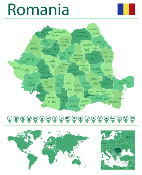
Detailed map of Romania with country flag and location on world map. Vector illustration
Detailed Map Romania Country Flag Location World Map Vector Illustration — Stock Vector
Romania
Romania — Stock Vector
Romania country map polygonal with spot lights places
Romania country map polygonal with spot lights places — Stock Vector
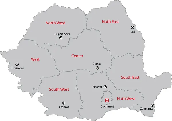
Romania maps 1
Romania maps 1 — Stock Vector
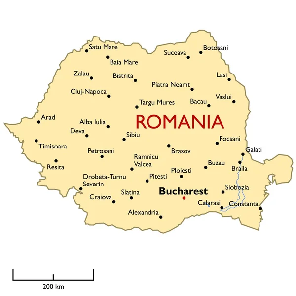
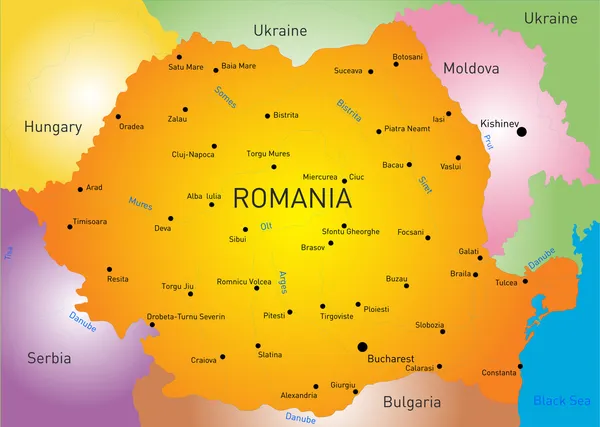
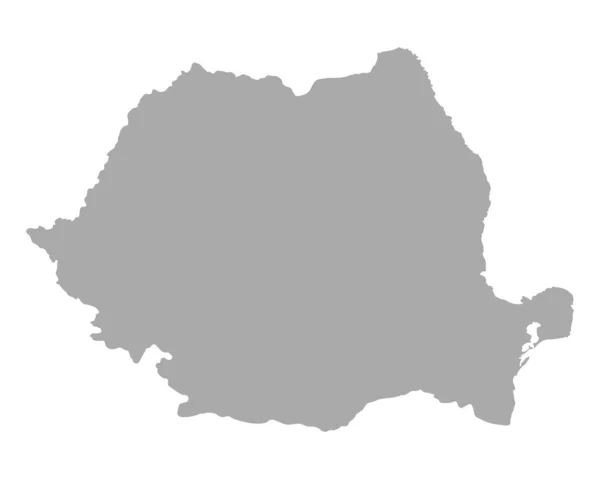
Romania map
Romania map — Stock Vector
Romania shape map
Romania shape map — Stock Vector
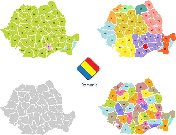
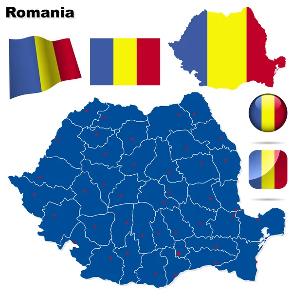
Romania vector set.
Romania vector set. — Stock Vector
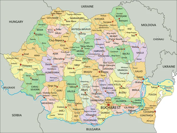
Romania - Highly detailed editable political map with labeling.
Romania Highly Detailed Editable Political Map Labeling — Stock Vector
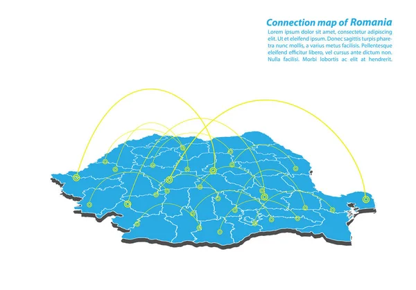
Modern of romania Map connections network design, Best Internet Concept of romania map business from concepts series, map point and line composition. Infographic map. Vector Illustration.
Modern Romania Map Connections Network Design Best Internet Concept Romania — Stock Vector
Romania map
Romania map — Stock Vector
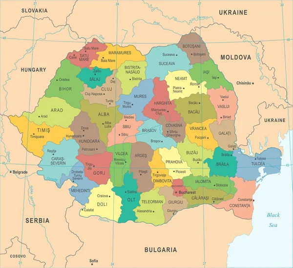
Romanian counties
Romanian counties — Stock Vector
Map of Romania
Map of Romania — Stock Vector
Map of Romania
Map of Romania — Stock Vector
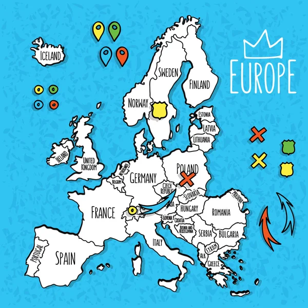
Cartoon style hand drawn travel map of Europe with pins vector illustration
Cartoon style hand drawn travel map of Europe with pins vector illustration — Stock Vector
Map of Romania for your design
Map of Romania for your design — Stock Vector
Love Romania symbol. Heart flag icon.
Love Romania symbol. Heart flag icon. — Stock Vector
Produced in Romania with map.
Produced in Romania with  map. — Stock Vector
Romania map glowing silhouette outline made of stars lines dots triangles, low polygonal shapes.
Romania map glowing silhouette outline made of stars lines dots triangles, low polygonal shapes. — Stock Vector
Romania Map country green icon
Romania Map Country Green Icon — Stock Vector
Romania Map - Detailed Vector Illustration
Romania Map - Detailed Vector Illustration — Stock Vector
Romania map and official flag icons over grunge background. vector Romanian political map 3d illustration. European State geographic banner template. travel and business concept vector
Romania map and official flag icons over grunge background. vector Romanian political map 3d illustration. European State geographic banner template. travel and business concept vector — Stock Vector
Vector Romania Map card paper
Vector Romania Map card paper — Stock Vector
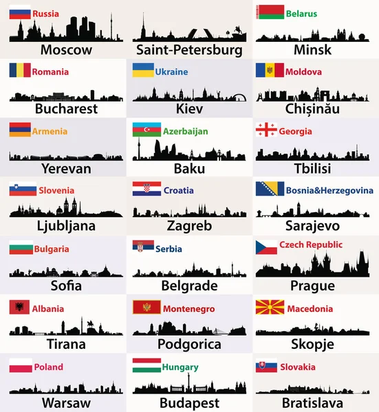
Vector silhouettes of East European cities skylines with countries flags
Vector Silhouettes East European Cities Skylines Countries Flags — Stock Vector
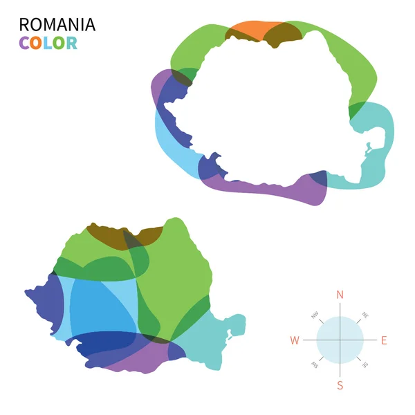
Abstract vector color map of Romania with transparent paint effect.
Abstract vector color map of Romania with transparent paint effect. — Stock Vector
Vintage label cards of Romania flag.
Vintage label cards of Romania flag. — Stock Vector
Romania badge Bright gradient logo of country in low poly style Multicolored Romania rounded sign
Romania badge Bright gradient logo of country in low poly style Multicolored Romania rounded sign — Stock Vector
Romania
Romania — Stock Vector
Central Europe Political Map
Central Europe Political Map — Stock Vector
Romania map Silk
Romania map Silk — Stock Vector
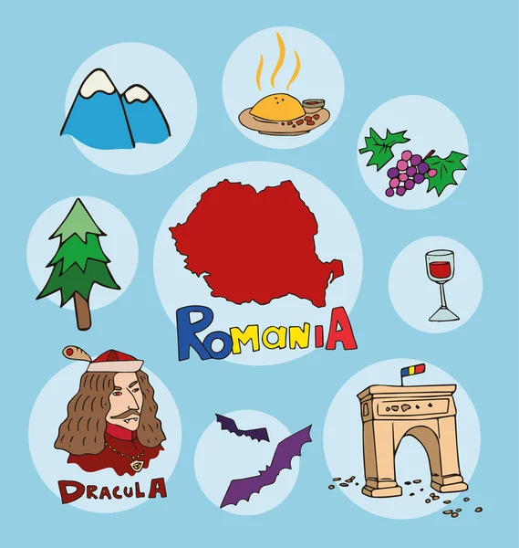
The set of national profile of the geographic maps of the romania
The set of  national profile of the geographic maps of the romania — Stock Vector
Map of Romania
Map of Romania — Stock Vector
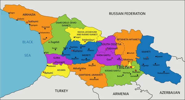
Colorful Georgia political map with clearly labeled, separated layers. Vector illustration.
Colorful Georgia Political Map Clearly Labeled Separated Layers Vector Illustration — Stock Vector
Handan City (People's Republic of China, Hebei Province) map vector illustration, scribble sketch City of Hantan map
Handan City People Republic China Hebei Province Map Vector Illustration — Stock Vector
Sumadija district map, administrative district of Serbia. Vector illustration.
Sumadija District Map Administrative District Serbia Vector Illustration — Stock Vector
Accurate map of Colombia
Accurate map of Colombia — Stock Vector
Armenia outline map vector with administrative borders, regions, municipalities, departments in black white colors
Armenia Outline Map Vector Administrative Borders Regions Municipalities Departments Black — Stock Vector
Armenia map with administrative divisions.
Armenia Map Administrative Divisions — Stock Vector
Gegharkunik province map, administrative division of Armenia.
Gegharkunik Province Map Administrative Division Armenia — Stock Vector
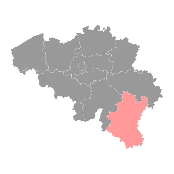
Luxembourg province map, Belgium provinces. Vector illustration.
Luxembourg Province Map Belgium Provinces Vector Illustration — Stock Vector
Accurate map of Colombia
Accurate map of Colombia — Stock Vector
Gray flat blank vector map of raion areas of the Ukrainian administrative area of POLTAVA OBLAST, UKRAINE with white border lines of its raions
Gray Flat Blank Vector Map Raion Areas Ukrainian Administrative Area — Stock Vector
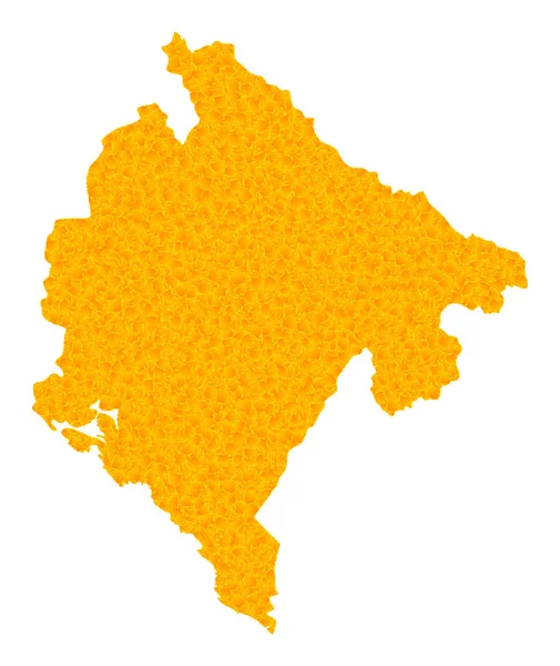
Golden Vector Map of Montenegro
Golden Vector Map of Montenegro — Stock Vector
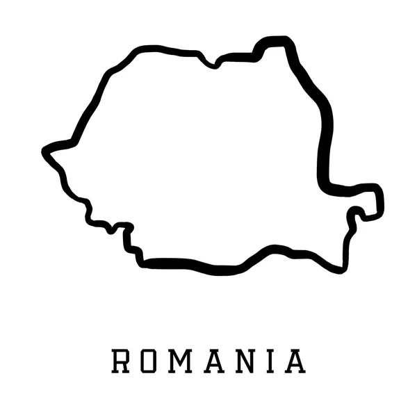
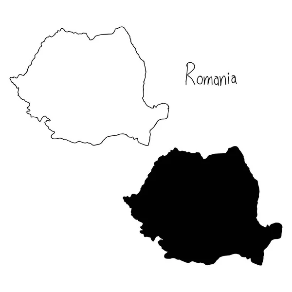
Outline and silhouette map of Romania - vector illustration hand drawn with black lines, isolated on white background
Outline and silhouette map of Romania - vector illustration hand drawn with black lines, isolated on white background — Stock Vector
Black flat blank highlighted location map of the POLTAVA RAION inside gray raions map of the Ukrainian administrative area of Poltava Oblast, Ukraine
Black Flat Blank Highlighted Location Map Poltava Raion Gray Raions — Stock Vector
Hsinchu county map, county of the Republic of China, Taiwan. Vector illustration.
Hsinchu County Map County Republic China Taiwan Vector Illustration — Stock Vector
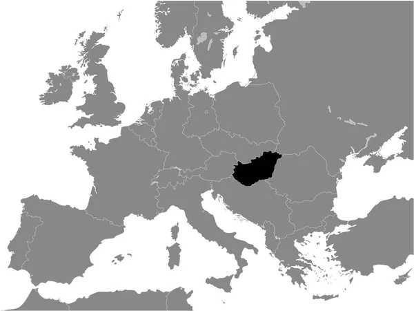
Black Flat Map of People's Republic of Hungary (year 1956-1990) inside Gray Map of European Continent
Black Flat Map People Republic Hungary Year 1956 1990 Gray — Stock Vector
Black flat blank highlighted location map of the VERSBACH DISTRICT inside gray administrative map of Wrzburg, Germany
Black Flat Blank Highlighted Location Map Versbach District Gray Administrative — Stock Vector
High detailed Outline of the country of Montenegro
High detailed Outline of the country of  Montenegro — Stock Vector
Accurate map of Belgium
Accurate map of Belgium — Stock Vector
3d map of Belarus with borders of regions
Map Belarus Borders Regions — Stock Vector
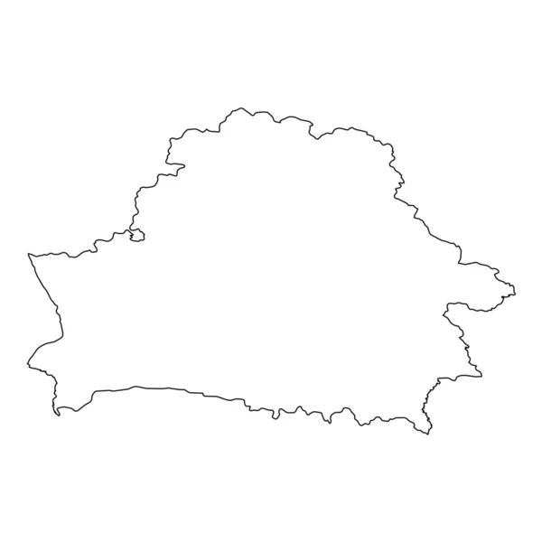
High detailed Outline of the country of Belarus
High detailed Outline of the country of  Belarus — Stock Vector
Black Flat Map of Kingdom of Hungary (year 1928-1938) inside Gray Map of European Continent
Black Flat Map Kingdom Hungary Year 1928 1938 Gray Map — Stock Vector
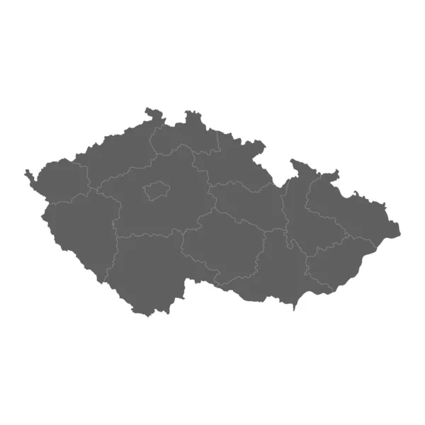
Vector illustration of grey Czech map. Vector map.
Vector illustration of grey Czech map. Vector map. — Stock Vector
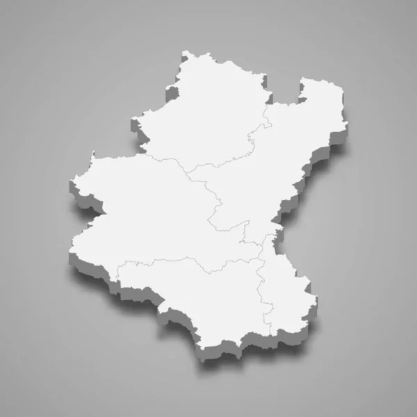
3d map of Luxembourg is a province of Belgium, vector illustration
Map Luxembourg Province Belgium Vector Illustration — Stock Vector
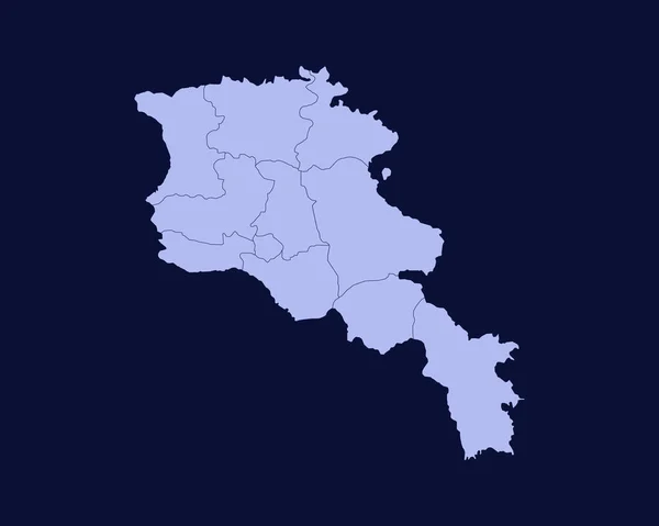
Modern Light Blue Color High Detailed Border Map Of Armenia Isolated on Blue Background Vector
Modern Light Blue Color High Detailed Border Map Armenia Isolated — Stock Vector
Sofia city map silhouette isolated on white background, Bulgaria
Sofia City Map Silhouette Isolated White Background Bulgaria — Stock Vector
Ukraine map illustration
Ukraine map illustration — Stock Vector
Black flat blank highlighted location map of the LENGFELD DISTRICT inside gray administrative map of Wrzburg, Germany
Black Flat Blank Highlighted Location Map Lengfeld District Gray Administrative — Stock Vector
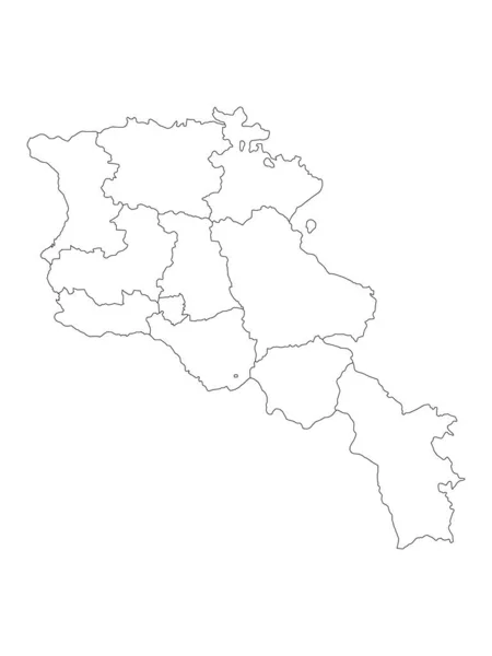
White Provinces Map of European Country of Armenia
White Provinces Map European Country Armenia — Stock Vector
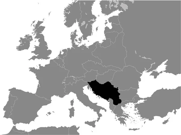
Black Flat Map of Kingdom of Yugoslavia (year 1930) inside Gray Map of European Continent
Black Flat Map Kingdom Yugoslavia Year 1930 Gray Map European — Stock Vector
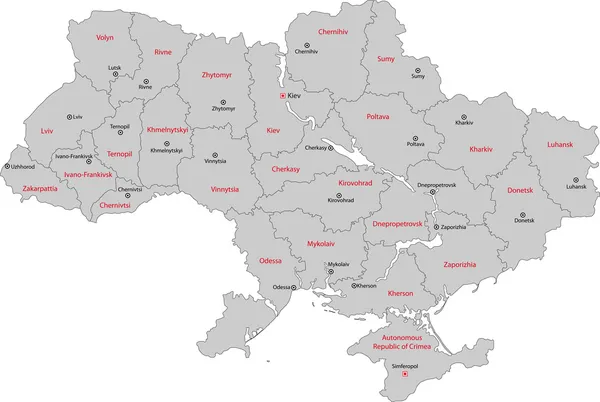
Gray flat blank vector administrative map of UKRAINE
Gray Flat Blank Vector Administrative Map Ukraine — Stock Vector
Grey Flat Provinces Map of Asian Country of Mongolia
Grey Flat Provinces Map Asian Country Mongolia — Stock Vector
Isolated vector Illustration. Black on White background. EPS 10 Illustration
Isolated Vector Illustration Black White Background Eps Illustration — Stock Vector
Colombia Icon with Four Color Variations
Colombia Icon with Four Color Variations — Stock Vector
Black Flat Map of Bulgarian Empire (year 814) inside Gray Map of European Continent
Black Flat Map Bulgarian Empire Year 814 Gray Map European — Stock Vector
Pristina district map, districts of Kosovo. Vector illustration.
Pristina District Map Districts Kosovo Vector Illustration — Stock Vector
Colombia country thin black outline. High detailed map. Vector illustration isolated on white background.
Colombia Country Thin Black Outline High Detailed Map Vector Illustration — Stock Vector
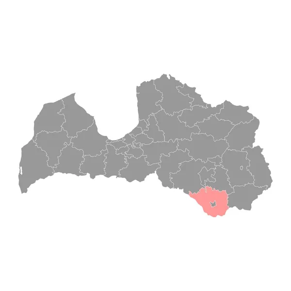
Sigulda Municipality map, administrative division of Latvia. Vector illustration.
Sigulda Municipality Map Administrative Division Latvia Vector Illustration — Stock Vector
The L'Aquila province dark silhouette map isolated on white background, Italy
Aquila Province Dark Silhouette Map Isolated White Background Italy — Stock Vector
Map of Romania
Map of Romania — Stock Vector
Guinea Icon with Color Variations
Guinea Icon with Color Variations — Stock Vector
Map of Saxony-Anhalt
Map of Saxony-Anhalt — Stock Vector
La Rioja map, Spain region. Vector illustration.
Rioja Map Spain Region Vector Illustration — Stock Vector
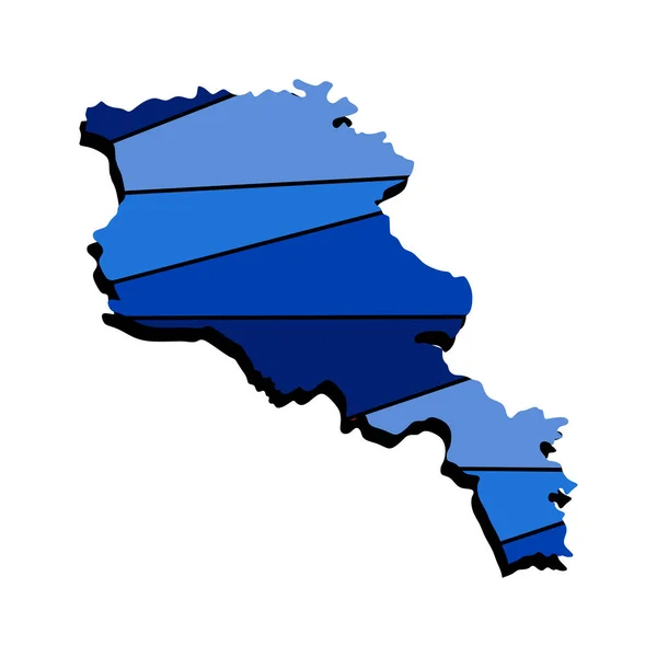
Armenia map 3d realistic design on blue. The concept for a symbol, use on banners, in typography. Armenia country map template in 3d view, excellent illustration for the wall.
Armenia Map Realistic Design Blue Concept Symbol Use Banners Typography — Stock Vector
Malatya (Provinces of the Republic of Turkey) map vector illustration, scribble sketch Malatya ili map
Malatya Provinces Republic Turkey Map Vector Illustration Scribble Sketch Malatya — Stock Vector
Gulbene Municipality map, administrative division of Latvia. Vector illustration.
Gulbene Municipality Map Administrative Division Latvia Vector Illustration — Stock Vector
Vector illustration of maps of Belgium
Vector illustration of maps of Belgium — Stock Vector
High level detailed map Belgium. Very accurate map layout satellite. Traced all the islands
High level detailed map Belgium. Very accurate map layout satellite. Traced all the islands — Stock Vector
Black Location Map of the Colombian Department of La Guajira within Grey Map of Colombia
Black Location Map Colombian Department Guajira Grey Map Colombia — Stock Vector
Bosnia and Herzegovina administrative map isolated on white background
Bosnia Herzegovina Administrative Map Isolated White Background — Stock Vector
Guinea - highly detailed black and white map.
Guinea - highly detailed black and white map. — Stock Vector
Northern Ireland map country
Northern Ireland map country — Stock Vector
Iran - solid black outline border map of country area. Simple flat vector illustration
Iran - solid black outline border map of country area. Simple flat vector illustration — Stock Vector
White Districts Map of European Country of Kosovo
White Districts Map European Country Kosovo — Stock Vector
Black flat blank highlighted location map of the KOLOMYIA RAION inside gray raions map of the Ukrainian administrative area of Ivano-Frankivsk Oblast, Ukraine
Black Flat Blank Highlighted Location Map Kolomyia Raion Gray Raions — Stock Vector
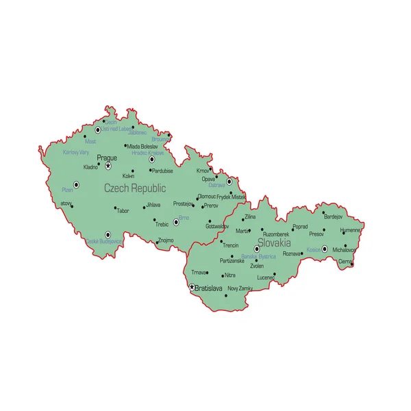
Czech Republic and Slovakia map
Czech Republic and Slovakia map — Stock Vector
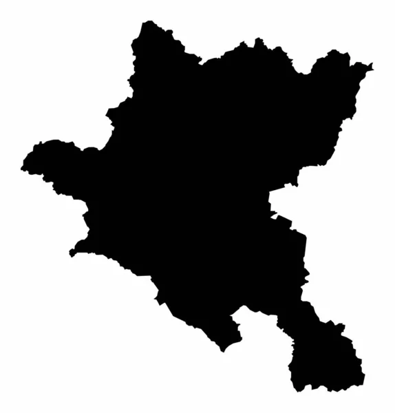
Silhouette map of the country of Bulgaria isolated over a white background
Silhouette Map Country Bulgaria Isolated White Background — Stock Vector
Rezina District map, province of Moldova. Vector illustration.
Rezina District Map Province Moldova Vector Illustration — Stock Vector
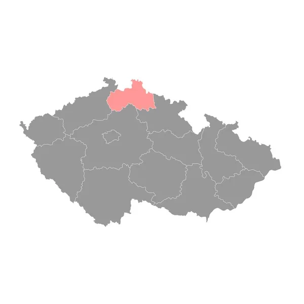
Liberec region administrative unit of the Czech Republic. Vector illustration.
Liberec Region Administrative Unit Czech Republic Vector Illustration — Stock Vector
Black Location Map of the Colombian Department of Santander within Grey Map of Colombia
Black Location Map Colombian Department Santander Grey Map Colombia — Stock Vector
Illustrated Country Shape of Belgium
Illustrated Country Shape of Belgium — Stock Vector
Ukraine vector country map silhouette
Ukraine vector country map silhouette — Stock Vector
Highly detailed Democratic Republic of the Congo map with borders isolated on background
Highly Detailed Democratic Republic Congo Map Borders Isolated Background — Stock Vector
Isolated vector Illustration. Black on White background. EPS 10 Illustration
Isolated Vector Illustration Black White Background Eps Illustration — Stock Vector
Map of Lower Austria
Map of Lower Austria — Stock Vector
Accurate map of Saxony
Accurate map of Saxony — Stock Vector
Country Shape Illustration of Belarus
Country Shape Illustration of Belarus — Stock Vector
Black Flat Map of Voivodeship of Moldavia (year 1812) inside Gray Map of European Continent
Black Flat Map Voivodeship Moldavia Year 1812 Gray Map European — Stock Vector
Augshdaugava Municipality map, administrative division of Latvia. Vector illustration.
Augshdaugava Municipality Map Administrative Division Latvia Vector Illustration — Stock Vector
Dortmund City (Federal Republic of Germany, North Rhine-Westphalia) map vector illustration, scribble sketch City of Dortmund map
Dortmund City (Federal Republic of Germany, North Rhine-Westphalia) map vector illustration, scribble sketch City of Dortmund map — Stock Vector

Romania Map Vector: High-Quality Images for Your Projects

Are you in need of a high-quality Romania map vector for your next project? Look no further than our collection of stunning vector images. Designed with precision and accuracy, our images are perfect for a wide range of uses, including website design, application development, marketing materials, and more.

What Are Vector Images?

Vector images are resizable graphics that are created using mathematical equations rather than pixels. This means that they can be scaled up or down without losing any of their quality or clarity. And because they are created using math, they are incredibly precise and can be edited and adjusted with ease. If you're looking for a high-quality Romania map vector, then using vector images is the way to go.

What Types of Images Are Available?

Our collection of Romania map vector images includes a variety of styles and designs to fit your specific needs. Whether you're looking for a simple outline of Romania or a more detailed map with topographical features, we have you covered. We also offer different color schemes, so you can choose the one that works best for your project.

Our vector images are available in three file formats: JPG, AI, and EPS. AI and EPS files are vector-based, making them ideal for editing and customization, while JPG files are perfect for use in website design and other digital projects. All of our images are high-quality and professionally designed, so you can trust that you're getting the best possible product.

Where Can You Use Romania Map Vector Images?

Our Romania map vector images are incredibly versatile and can be used in a wide variety of projects. Some popular uses include:
  • Website design
  • Application development
  • Marketing materials
  • Infographics

No matter what your project may be, our images are sure to add an extra level of professionalism and style. And because they are vector-based, you can resize and adjust them to fit your exact needs without losing any quality or clarity.
Why Choose Our Romania Map Vector Images?

When it comes to finding the perfect visual for your project, quality is key. Our Romania map vector images are professionally designed to ensure the highest quality possible. And with a variety of styles, color schemes, and file formats to choose from, you can easily find the image that best fits your needs.

Additionally, our images are incredibly versatile and can be used in a wide range of projects. With the ability to adjust and customize them to fit your exact needs, you can create a truly unique end product.

So why wait? Browse our collection of Romania map vector images today and find the perfect visual for your next project.