Serbia map Stock Vector Images

100,000 Serbia map vector art & graphics are available under a royalty-free license

  • Best Match
  • Fresh
  • Popular
1-100 of 100,000
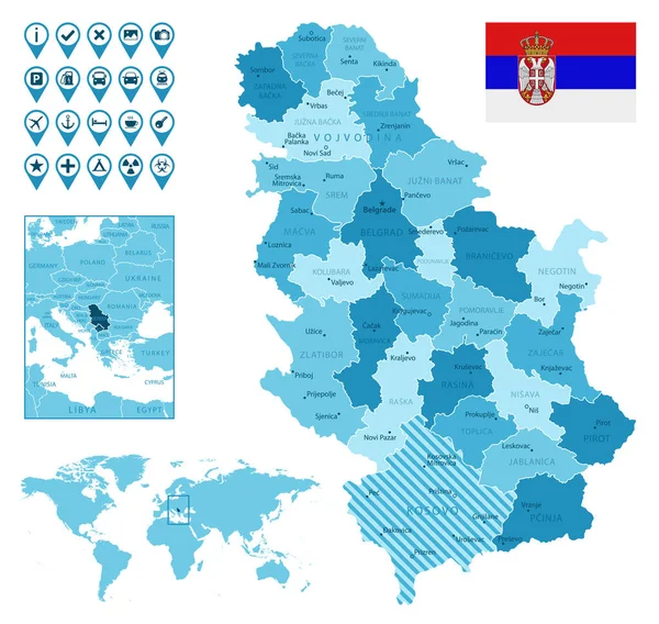
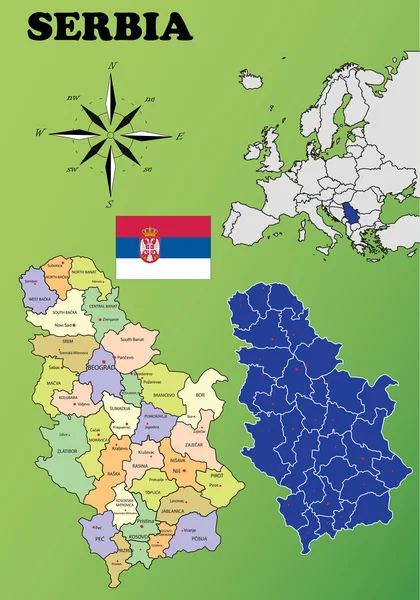
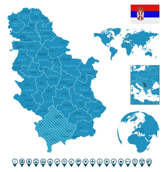
Serbia detailed administrative blue map with country flag and location on the world map.
Serbia detailed administrative blue map with country flag and location on the world map. — Stock Vector
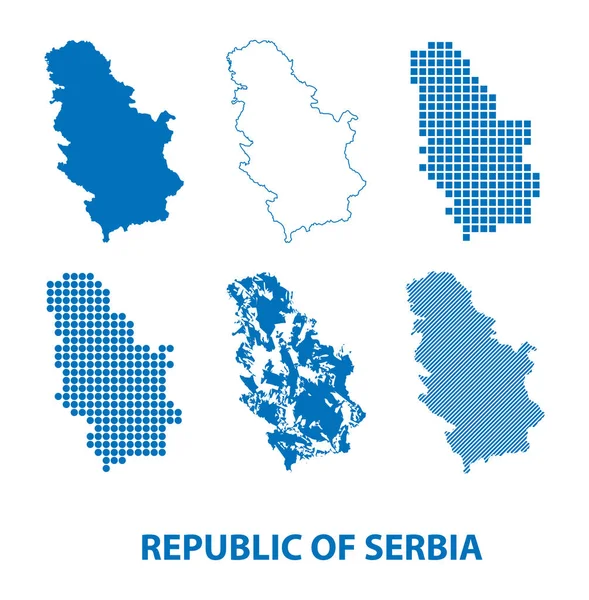
Map of Republic of Serbia - vector set of silhouettes in different patterns
Map Republic Serbia Vector Set Silhouettes Different Patterns — Stock Vector
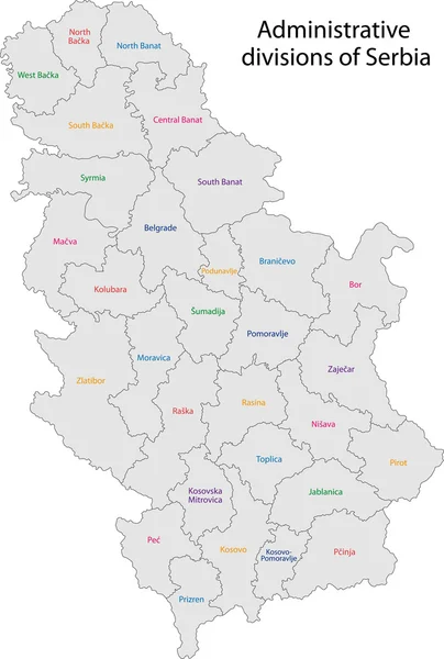
Serbia map
Serbia map — Stock Vector
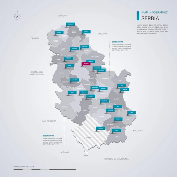
Serbia vector map with infographic elements, pointer marks.
Serbia vector map with infographic elements, pointer marks. — Stock Vector
Christmas decorative lacy card
Christmas decorative lacy card — Stock Vector
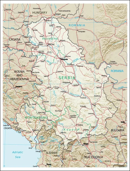
Serbia Montenegro Kosov physiography map
Serbia Montenegro Kosov physiography map — Stock Vector
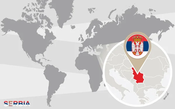
World map with magnified Serbia
World map with magnified Serbia — Stock Vector
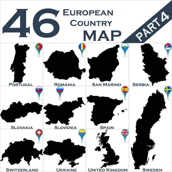
Maps of European country
Maps of European country — Stock Vector
Serbia
Serbia — Stock Vector
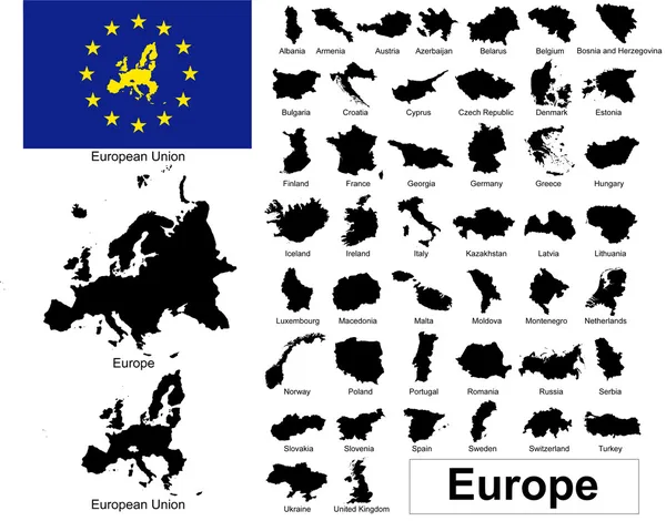
Vectors of european countries
Vectors of european countries — Stock Vector
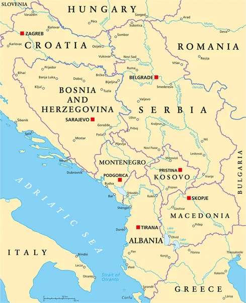
Central Balkan Political Map
Central Balkan Political Map — Stock Vector
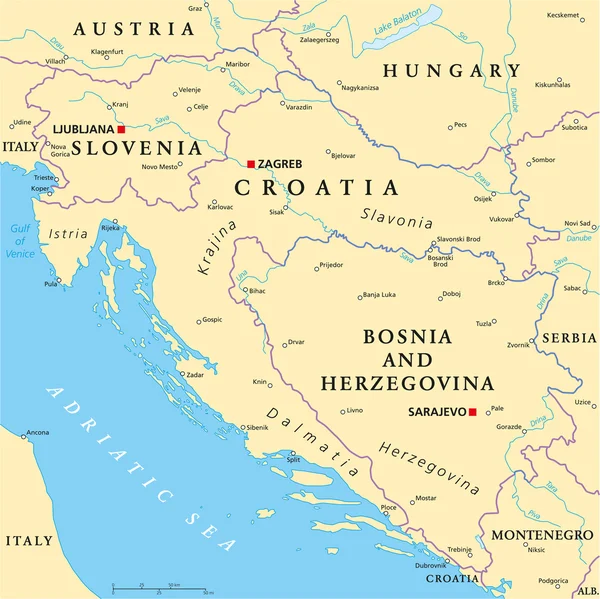
West Balkan Political Map
West Balkan Political Map — Stock Vector
Croatia Political Map
Croatia Political Map — Stock Vector
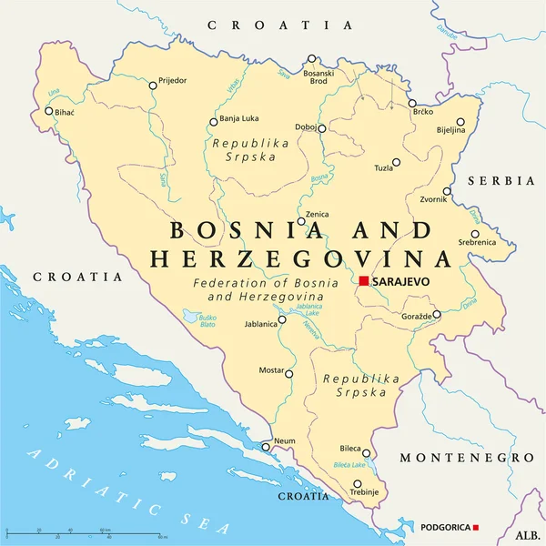
Bosnia And Herzegovina Political Map
Bosnia And Herzegovina Political Map — Stock Vector
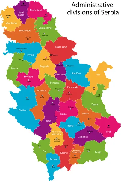
Vector Serbia map
Vector Serbia map — Stock Vector
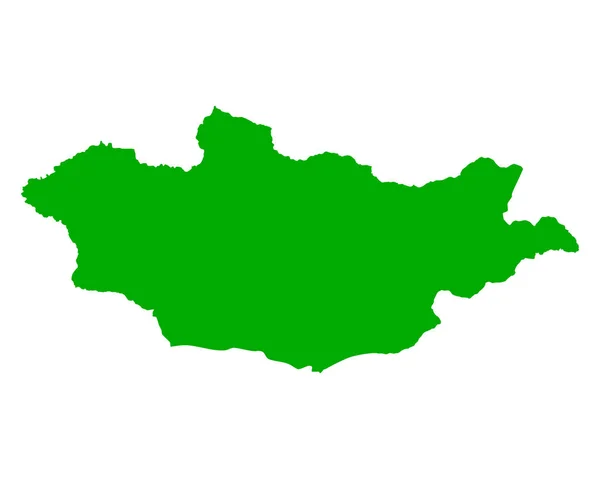
Mongolia map country icon
Mongolia map country icon — Stock Vector
Bosnia and Herzegovina administrative map isolated on white background
Bosnia Herzegovina Administrative Map Isolated White Background — Stock Vector
Black flat blank highlighted location map of the POLTAVA RAION inside gray raions map of the Ukrainian administrative area of Poltava Oblast, Ukraine
Black Flat Blank Highlighted Location Map Poltava Raion Gray Raions — Stock Vector
Gray flat blank vector map of raion areas of the Ukrainian administrative area of POLTAVA OBLAST, UKRAINE with white border lines of its raions
Gray Flat Blank Vector Map Raion Areas Ukrainian Administrative Area — Stock Vector
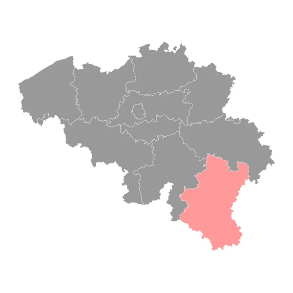
Luxembourg province map, Belgium provinces. Vector illustration.
Luxembourg Province Map Belgium Provinces Vector Illustration — Stock Vector
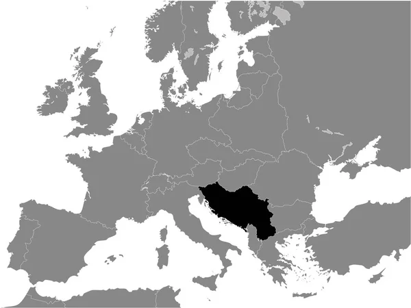
Black Flat Map of Kingdom of Yugoslavia (year 1930) inside Gray Map of European Continent
Black Flat Map Kingdom Yugoslavia Year 1930 Gray Map European — Stock Vector
Czech Republic Map - Vintage Detailed Vector Illustration
Czech Republic Map - Vintage Detailed Vector Illustration — Stock Vector
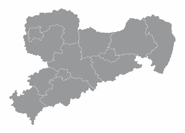
Saxony State map
Saxony State map — Stock Vector
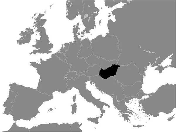
Black Flat Map of Kingdom of Hungary (year 1928-1938) inside Gray Map of European Continent
Black Flat Map Kingdom Hungary Year 1928 1938 Gray Map — Stock Vector
Sumadija district map, administrative district of Serbia. Vector illustration.
Sumadija District Map Administrative District Serbia Vector Illustration — Stock Vector
Aichi Japan map icon
Aichi Japan map icon — Stock Vector
Ukraine vector country map silhouette
Ukraine vector country map silhouette — Stock Vector
Bosnia and Herzegovina country thin black outline. High detailed map. Vector illustration isolated on white background.
Bosnia Herzegovina Country Thin Black Outline High Detailed Map Vector — Stock Vector
Black Flat Map of People's Republic of Hungary (year 1956-1990) inside Gray Map of European Continent
Black Flat Map People Republic Hungary Year 1956 1990 Gray — Stock Vector
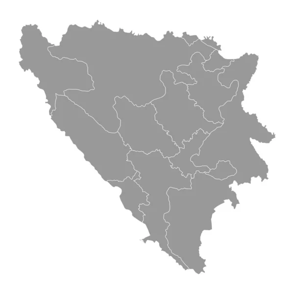
Bosnia and Herzegovina grey map with administrative districts. Vector illustration.
Bosnia Herzegovina Grey Map Administrative Districts Vector Illustration — Stock Vector
Black flat blank highlighted location map of the VERSBACH DISTRICT inside gray administrative map of Wrzburg, Germany
Black Flat Blank Highlighted Location Map Versbach District Gray Administrative — Stock Vector
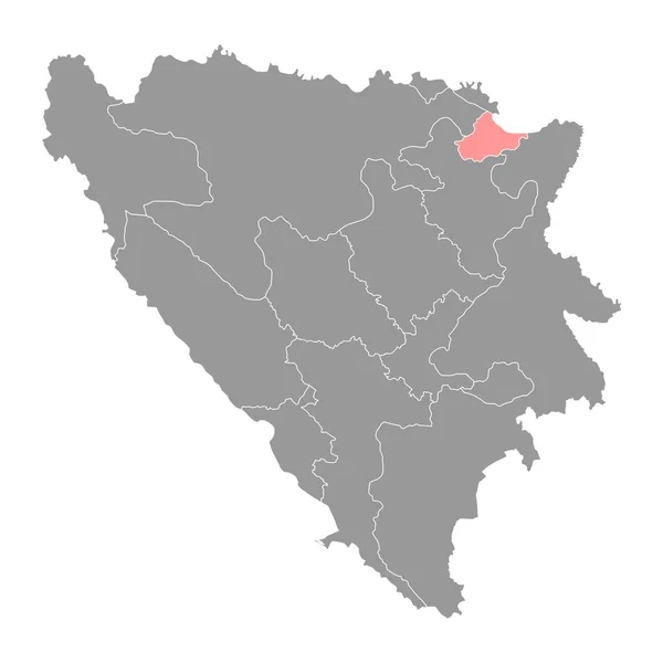
Posavina canton map, administrative district of Federation of Bosnia and Herzegovina. Vector illustration.
Posavina Canton Map Administrative District Federation Bosnia Herzegovina Vector Illustration — Stock Vector
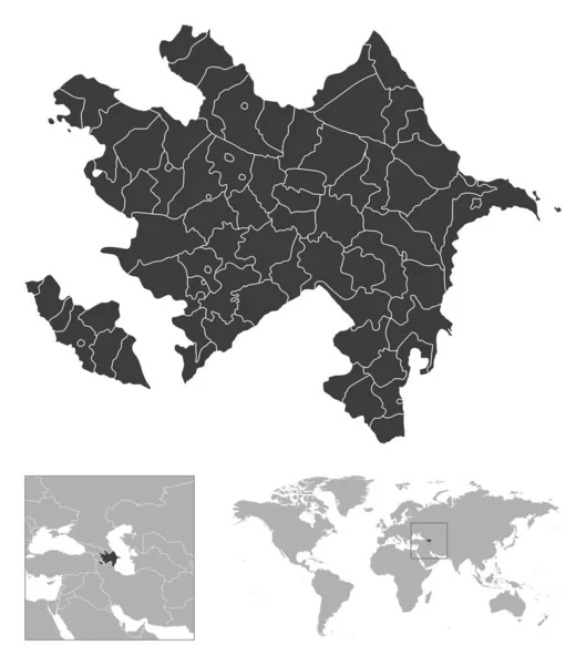
Azerbaijan - detailed country outline and location on world map. Vector illustration
Azerbaijan Detailed Country Outline Location World Map Vector Illustration — Stock Vector
Accurate map of Mongolia
Accurate map of Mongolia — Stock Vector
Black Flat Map of Bulgarian Empire (year 814) inside Gray Map of European Continent
Black Flat Map Bulgarian Empire Year 814 Gray Map European — Stock Vector
Black location map of the Pylaia municipal unit inside gray urban municipal units map of the Greek regional capital city of Thessaloniki, Greece
Black Location Map Pylaia Municipal Unit Gray Urban Municipal Units — Stock Vector
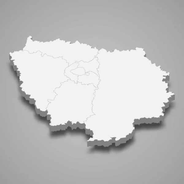
3d map of Ile-de-France is a region of France
Map Ile France Region France — Stock Vector
Ungheni District map, province of Moldova. Vector illustration.
Ungheni District Map Province Moldova Vector Illustration — Stock Vector
Kotor municipality map, administrative subdivision of Montenegro. Vector illustration.
Kotor Municipality Map Administrative Subdivision Montenegro Vector Illustration — Stock Vector
Outline map of Czech Republic
Outline Map Czech Republic — Stock Vector
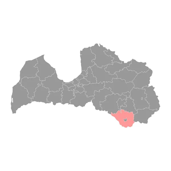
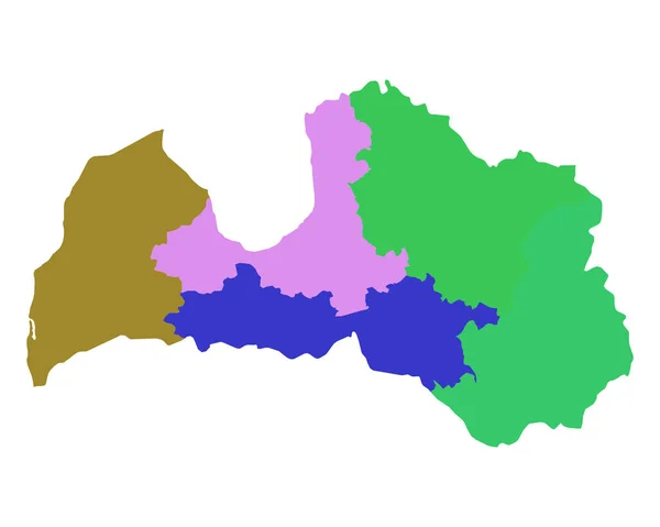
Augshdaugava Municipality map, administrative division of Latvia. Vector illustration.
Augshdaugava Municipality Map Administrative Division Latvia Vector Illustration — Stock Vector
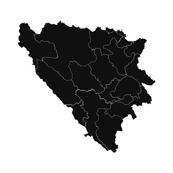
Abstract Bosnia and Herzegovina Silhouette Detailed Map
Abstract Bosnia Herzegovina Silhouette Detailed Map — Stock Vector
Vector map Bosnia and Herzegovina. Isolated vector Illustration. Black on White background. EPS 10 Illustration.
Vector Map Bosnia Herzegovina Isolated Vector Illustration Black White Background — Stock Vector
Austria map colorful country icon
Austria Map Colorful Country Icon — Stock Vector
Hsinchu county map, county of the Republic of China, Taiwan. Vector illustration.
Hsinchu County Map County Republic China Taiwan Vector Illustration — Stock Vector
Map of Saxony-Anhalt
Map of Saxony-Anhalt — Stock Vector
Illustrated Country Shape of Cambodia
Illustrated Country Shape of Cambodia — Stock Vector
Illustrated Country Shape of Burkina Faso
Illustrated Country Shape of Burkina Faso — Stock Vector
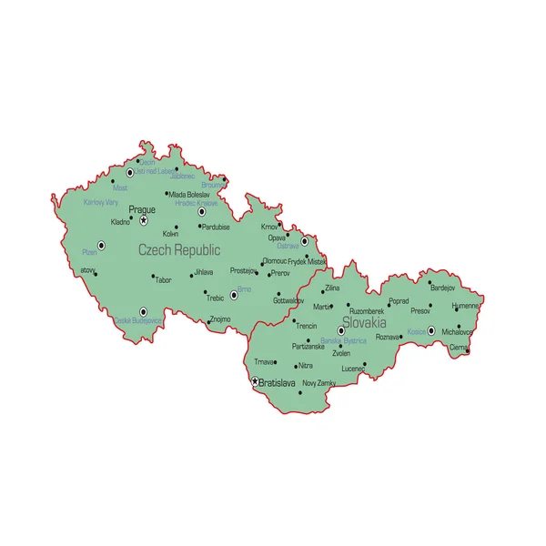
Czech Republic and Slovakia map
Czech Republic and Slovakia map — Stock Vector
Map of Turkey, Mardin
Map of Turkey, Mardin — Stock Vector
Zenica Doboj canton map, administrative district of Federation of Bosnia and Herzegovina. Vector illustration.
Zenica Doboj Canton Map Administrative District Federation Bosnia Herzegovina Vector — Stock Vector
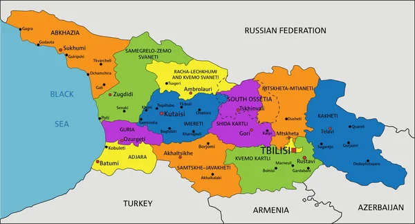
Colorful Georgia political map with clearly labeled, separated layers. Vector illustration.
Colorful Georgia Political Map Clearly Labeled Separated Layers Vector Illustration — Stock Vector
Gegharkunik province map, administrative division of Armenia.
Gegharkunik Province Map Administrative Division Armenia — Stock Vector
Accurate map of Belgium
Accurate map of Belgium — Stock Vector
Black flat blank highlighted location map of the LENGFELD DISTRICT inside gray administrative map of Wrzburg, Germany
Black Flat Blank Highlighted Location Map Lengfeld District Gray Administrative — Stock Vector
Montenegro
Montenegro — Stock Vector
Romania map city icon
Romania map city icon — Stock Vector
Guangzhou city administrative map isolated on white background, China
Guangzhou City Administrative Map Isolated White Background China — Stock Vector
Dominican Republic administrative map isolated on white background
Dominican Republic Administrative Map Isolated White Background — Stock Vector
Stencil map of South Sudan Simple and minimal transparent map of South Sudan Black rectangle with
Stencil map of South Sudan Simple and minimal transparent map of South Sudan Black rectangle with — Stock Vector
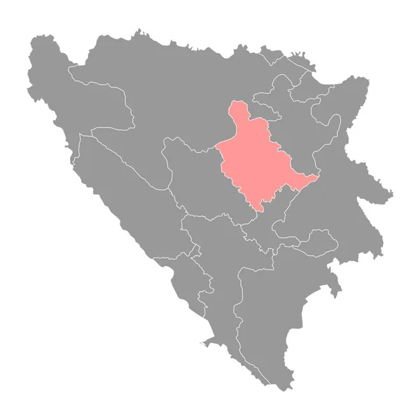
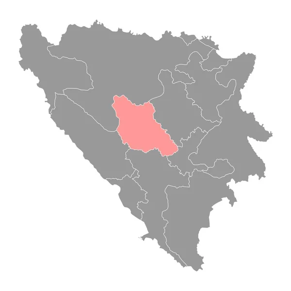
Central Bosnia canton map, administrative district of Federation of Bosnia and Herzegovina. Vector illustration.
Central Bosnia Canton Map Administrative District Federation Bosnia Herzegovina Vector — Stock Vector
Grey Flat Provinces Map of Asian Country of Mongolia
Grey Flat Provinces Map Asian Country Mongolia — Stock Vector
Accurate map of Hungary
Accurate map of Hungary — Stock Vector
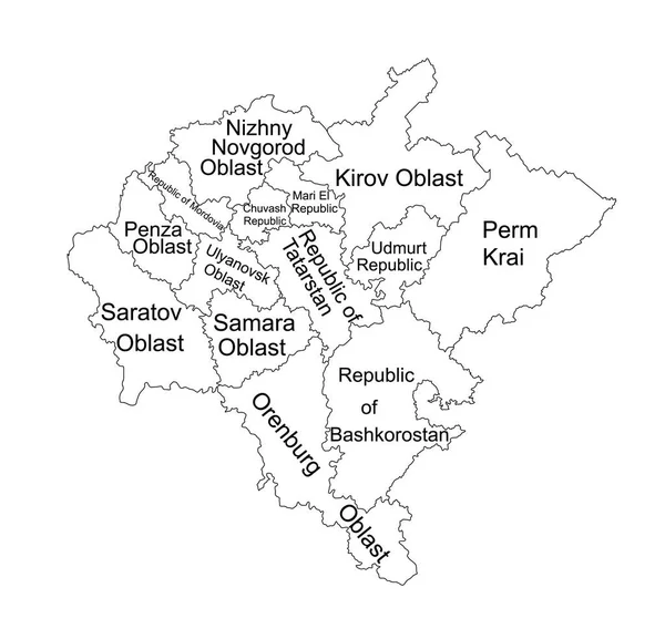
Volga federal district map vector silhouette illustration isolated on white background. Russian federation province. Privolzhsky federal district map. Volga line contour district map.
Volga Federal District Map Vector Silhouette Illustration Isolated White Background — Stock Vector
Serbia maps
Serbia maps — Stock Vector
Niksic Municipality map, administrative subdivision of Montenegro. Vector illustration.
Niksic Municipality Map Administrative Subdivision Montenegro Vector Illustration — Stock Vector
Upper Carniola map, region of Slovenia. Vector illustration.
Upper Carniola Map Region Slovenia Vector Illustration — Stock Vector
Highly detailed editable political map with separated layers. Poland.
Highly Detailed Editable Political Map Separated Layers Poland — Stock Vector
3d map of Lesser Poland voivodeship is a province of Poland, vector illustration
Map Lesser Poland Voivodeship Province Poland Vector Illustration — Stock Vector
Abstract Moldova Silhouette Detailed Map
Abstract Moldova Silhouette Detailed Map — Stock Vector
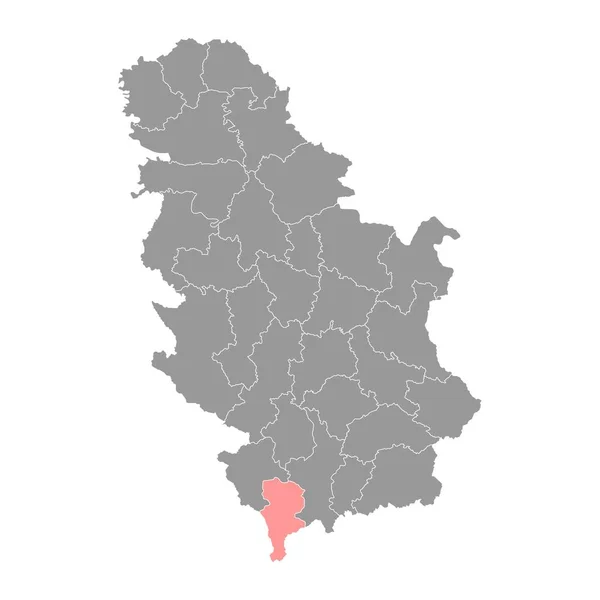
Prizren district map, administrative district of Serbia. Vector illustration.
Prizren District Map Administrative District Serbia Vector Illustration — Stock Vector
Isolated vector Illustration. Black on White background. EPS 10 Illustration
Isolated Vector Illustration Black White Background Eps Illustration — Stock Vector
Black location map of the Panorama municipal unit inside gray urban municipal units map of the Greek regional capital city of Thessaloniki, Greece
Black Location Map Panorama Municipal Unit Gray Urban Municipal Units — Stock Vector
Wealden Non-metropolitan district (United Kingdom of Great Britain and Northern Ireland, ceremonial county East Sussex, England) map vector illustration, scribble sketch map
Wealden Non Metropolitan District United Kingdom Great Britain Northern Ireland — Stock Vector
Fier county map, administrative subdivisions of Albania. Vector illustration.
Fier County Map Administrative Subdivisions Albania Vector Illustration — Stock Vector
Vector Illustration of the Map of Bulgaria on green Background
Vector Illustration Map Bulgaria Green Background — Stock Vector
Serbia - detailed blue country map with cities, regions, location on world map and globe. Infographic icons. Vector illustration
Serbia Detailed Blue Country Map Cities Regions Location World Map — Stock Vector
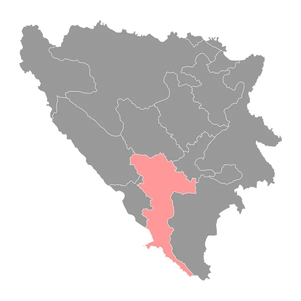
Herzegovina Neretva canton map, administrative district of Federation of Bosnia and Herzegovina. Vector illustration.
Herzegovina Neretva Canton Map Administrative District Federation Bosnia Herzegovina Vector — Stock Vector
Black Flat Map of Voivodeship of Moldavia (year 1812) inside Gray Map of European Continent
Black Flat Map Voivodeship Moldavia Year 1812 Gray Map European — Stock Vector
Brcko District map, administrative district of Federation of Bosnia and Herzegovina. Vector illustration.
Brcko District Map Administrative District Federation Bosnia Herzegovina Vector Illustration — Stock Vector
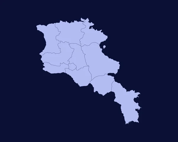
Modern Light Blue Color High Detailed Border Map Of Armenia Isolated on Blue Background Vector
Modern Light Blue Color High Detailed Border Map Armenia Isolated — Stock Vector
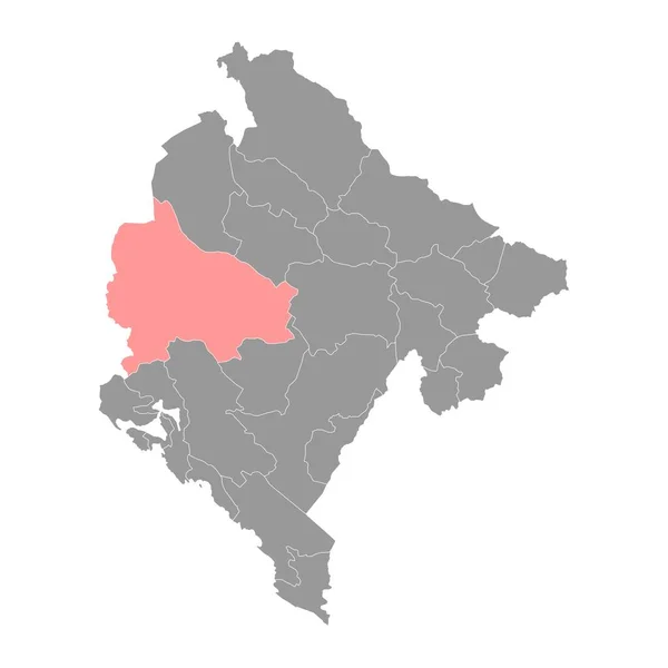
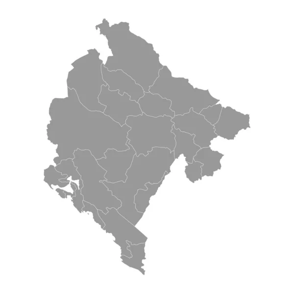
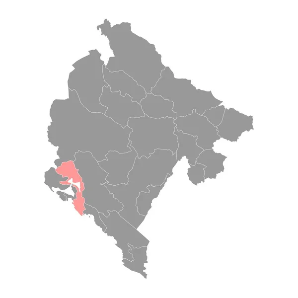
Montenegro gray map with administrative subdivisions. Vector illustration.
Montenegro Gray Map Administrative Subdivisions Vector Illustration — Stock Vector
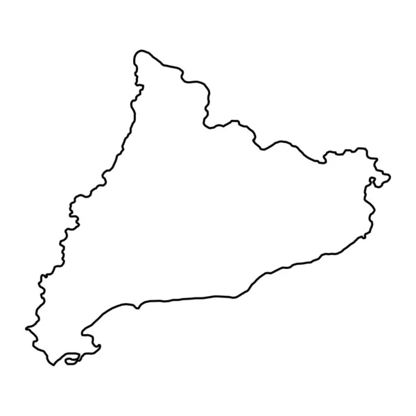
Catalonia map, Spain region. Vector illustration.
Catalonia Map Spain Region Vector Illustration — Stock Vector
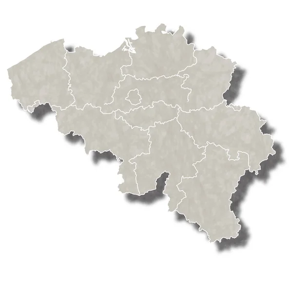
Belgium map city icon
Belgium map city icon — Stock Vector
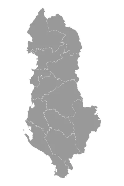
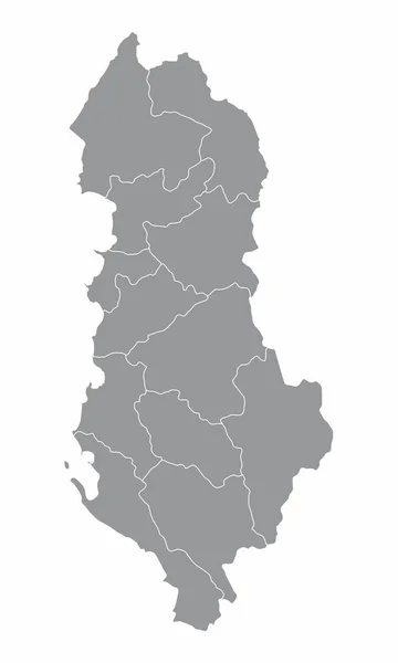
Albania grey map with administrative subdivisions. Vector illustration.
Albania Grey Map Administrative Subdivisions Vector Illustration — Stock Vector
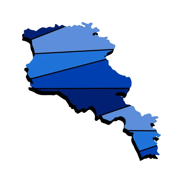
Armenia map 3d realistic design on blue. The concept for a symbol, use on banners, in typography. Armenia country map template in 3d view, excellent illustration for the wall.
Armenia Map Realistic Design Blue Concept Symbol Use Banners Typography — Stock Vector
Black Flat Map of Socialist Republic of Romania (year 1956-1990) inside Gray Map of European Continent
Black Flat Map Socialist Republic Romania Year 1956 1990 Gray — Stock Vector
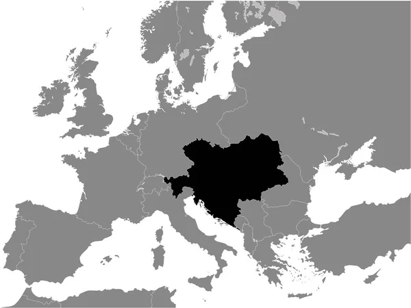
Black Flat Map of Austria-Hungary (1914) inside Gray Map of Europe
Black Flat Map Austria Hungary 1914 Gray Map Europe — Stock Vector
Guinea vector country map silhouette
Guinea vector country map silhouette — Stock Vector
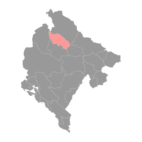
Zabljak Municipality map, administrative subdivision of Montenegro. Vector illustration.
Zabljak Municipality Map Administrative Subdivision Montenegro Vector Illustration — Stock Vector
Accurate map of Latvia
Accurate map of Latvia — Stock Vector
Map of Minas Gerais
Map of Minas Gerais — Stock Vector
Bulgaria map Country icon
Bulgaria map Country icon — Stock Vector
Sofia city map silhouette isolated on white background, Bulgaria
Sofia City Map Silhouette Isolated White Background Bulgaria — Stock Vector
Pristina district map, districts of Kosovo. Vector illustration.
Pristina District Map Districts Kosovo Vector Illustration — Stock Vector
Halftone Grey Ukraine Map With Crimea
Halftone Grey Ukraine Map With Crimea — Stock Vector
Black flat blank highlighted location map of the LUBNY RAION inside gray raions map of the Ukrainian administrative area of Poltava Oblast, Ukraine
Black Flat Blank Highlighted Location Map Lubny Raion Gray Raions — Stock Vector
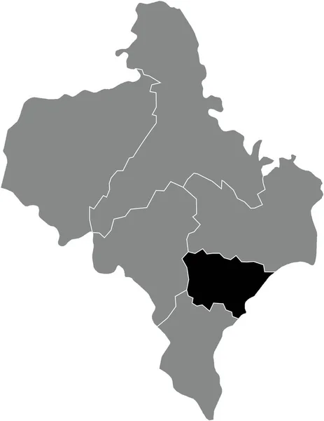
Black flat blank highlighted location map of the KOSIV RAION inside gray raions map of the Ukrainian administrative area of Ivano-Frankivsk Oblast, Ukraine
Black Flat Blank Highlighted Location Map Kosiv Raion Gray Raions — Stock Vector
The Albania isolated map divided in regions
Albania Isolated Map Divided Regions — Stock Vector
3d isometric map of Central Macedonia is a region of Greece, vector illustration
Isometric Map Central Macedonia Region Greece Vector Illustration — Stock Vector

Serbia Map Vector: Finding the Right Image for Your Project

Whether you are designing a website, creating marketing materials or working on a research project, using the right image can make all the difference. A vector image provides a high-quality resolution that can be enlarged or reduced without losing quality. If you need a Serbia map vector, we have a range of options available to suit your needs.

Types of Images Available

We offer a range of Serbia map vector images that can be used for a variety of projects. Our images come in various styles, including black and white, colored, and 3D images. We have a range of file formats available, including JPG, AI, and EPS. Our collection includes maps of Serbia that show cities, regions and landmarks, making them perfect for tourism or educational projects.

If you require a Serbia map vector for a commercial project, we have a range of images that include businesses, transportation routes, and industrial locations. Our vectors can be used for marketing materials such as brochures, websites and advertising campaigns. Our selection of Serbia map vector images allows you to choose the right image to suit your requirements.

Where to Use Serbia Map Vector Images

Our Serbia map vector images can be used for a variety of projects. They are ideal for educational projects such as textbooks, brochures, presentations, and websites. Our images can also be used for advertising campaigns and marketing materials, including billboards, banners, and flyers. Our maps can be used to showcase different locations for various projects, including books and publications, presentations or research papers.

Our collection also includes maps of Serbia that show cities, landmarks and points of interest, making them perfect for travel-related projects. These images are commonly used in tourism and travel guides, making it easy for visitors to navigate the area.

Advice on Choosing the Right Image

When selecting an image, consider what you are using it for and who your audience is. It’s important to choose an image that accurately reflects your project and the message you want to convey. For example, if you are creating a brochure about Serbia’s historical sites, you might want to choose an image that highlights those landmarks. Similarly, if you are marketing a new resort in Serbia, you might want to include images that highlight the natural beauty of the area.

While it’s important to choose an image that is visually appealing, it is also important to make sure that it’s appropriate for the project. If you are working on a project that requires a high level of detail, such as a research project, you may want to choose a vector image that provides a high level of detail. Consider how the image will be used – if it will be displayed on a large screen or in a print format – before selecting a vector image.

Choosing the right Serbia map vector can be challenging, especially if you have a specific project in mind. Our collection of images includes a range of options to suit your needs, whether for educational, commercial or tourism projects. We offer a range of file formats, styles and color options so you can choose the perfect vector image for your project.