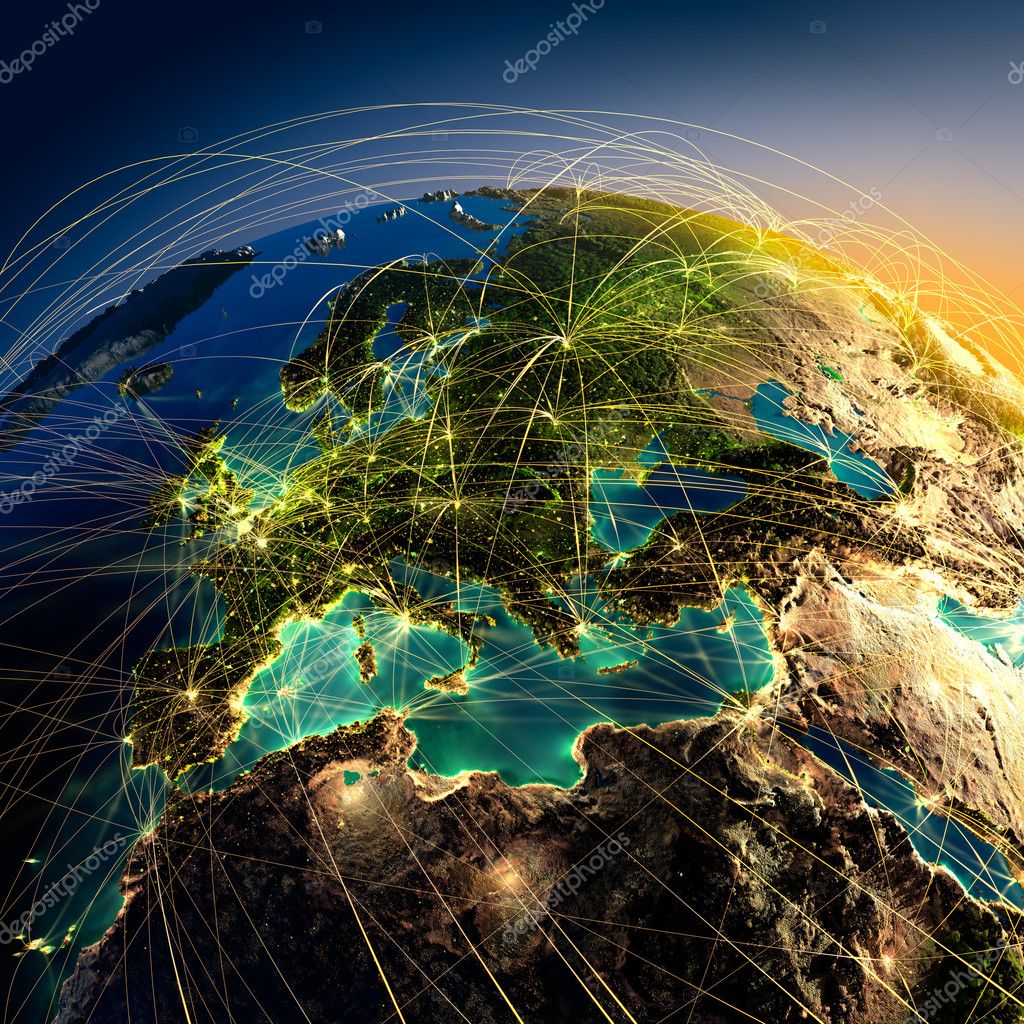
Highly detailed Earth at night with embossed continents — Stock Photo, Image

Highly detailed Earth at night with embossed continents — Photo

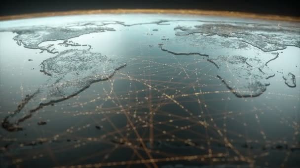
Highly detailed planet Earth at night with embossed continents, illuminated by light of cities, translucent and reflective ocean. Earth is surrounded by a luminous network, representing the major air routes based on real data

 — Photo by Antartis

Same Series:

Planet Earth with detailed relief is covered with a complex luminous network of air routes based on real data. Iran and the countries of Central Asia. 3D rendering. Elements of this image furnished by NASA
Detailed air routes on Earth. Iran and the countries of Central — Stock Photo, Image
Highly detailed planet Earth at night, lit by the rising sun, with embossed continents, illuminated by light of cities, translucent and reflective ocean. Earth is surrounded by a luminous network, representing the major air routes based on real data
The main air routes of Asia — Stock Photo, Image
Highly detailed planet Earth at night, lit by the rising sun, with embossed continents, illuminated by light of cities, translucent and reflective ocean. Earth is surrounded by a luminous network, representing the major air routes based on real data
The main air route over the Atlantic — Stock Photo, Image
Planet Earth with detailed relief is covered with a complex luminous network of air routes based on real data. Northern United States and Canada. 3D rendering. Elements of this image furnished by NASA
Detailed air routes on Earth. West Africa, Morocco. 3D rendering — Stock Photo, Image
Highly detailed planet Earth at night with embossed continents, illuminated by light of cities, translucent and reflective ocean. Earth is surrounded by a luminous network, representing the major air routes based on real data
Main air routes in Asia — Stock Photo, Image
Highly detailed planet Earth at night, lit by the rising sun, with embossed continents, illuminated by light of cities, translucent and reflective ocean. Earth is surrounded by a luminous network, representing the major air routes based on real data
The main air routes of the Middle East — Stock Photo, Image
Highly detailed planet Earth at night with embossed continents, illuminated by light of cities, translucent and reflective ocean. Earth is surrounded by a luminous network, representing the major air routes based on real data
Main air routes in Africa and Madagascar — Stock Photo, Image
Highly detailed planet Earth at night, lit by the rising sun, with embossed continents, illuminated by light of cities, translucent and reflective ocean. Earth is surrounded by a luminous network, representing the major air routes based on real data
The main air route over Central America — Stock Photo, Image
Highly detailed planet Earth on a white background, lit by the rising sun, with embossed continents, illuminated by light of cities, translucent and reflective ocean
The main air routes of Asia — Stock Photo, Image
Highly detailed planet Earth at night, lit by the rising sun, illuminated by light of cities. Earth is surrounded by a luminous network
Main air routes in North America — Stock Photo, Image
Highly detailed planet Earth at night, lit by the rising sun, with embossed continents, illuminated by light of cities, translucent and reflective ocean
Main air routes in Asia — Stock Photo, Image
Planet Earth with detailed relief is covered with a complex luminous network of air routes based on real data. Europe. 3D rendering. Elements of this image furnished by NASA
Detailed air routes on Earth. 3D rendering — Stock Photo, Image
Highly detailed planet Earth at night, lit by the rising sun, with embossed continents, illuminated by light of cities, translucent and reflective ocean. Earth is surrounded by a luminous network, representing the major air routes based on real data
Main air routes in Japan — Stock Photo, Image
Highly detailed planet Earth on a white background, lit by the rising sun, with embossed continents, illuminated by light of cities, translucent and reflective ocean
Main air routes in Asia — Stock Photo, Image
Planet Earth with detailed relief is covered with a complex luminous network of air routes based on real data. 3D rendering. Indonesia and Malaysia. Elements of this image furnished by NASA
Detailed air routes on Earth. Indonesia and Malaysia. 3D renderi — Stock Photo, Image
Highly detailed planet Earth at night with embossed continents, illuminated by light of cities, translucent and reflective ocean. Earth is surrounded by a luminous network, representing the major air routes based on real data
Main air routes in North America — Stock Photo, Image

Similar Stock Videos:

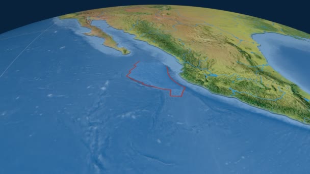
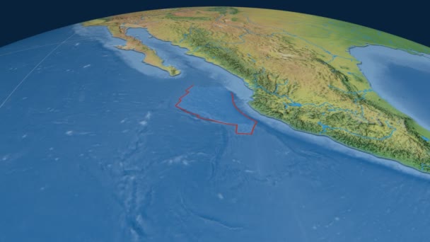
Rivera tectonic plate. Satellite imagery. Plate extruded and animated against the globe
Rivera tectonic plate. Satellite imagery — Stock Video
Abstract globe with particles and plexus structure. Digital technology planet with continent forming. Triangulated structure. Glows and particles, alpha channel
Abstract globe with particles and plexus structure. Digital technology planet with continent forming. Triangulated structure. Glows and particles. alpha channel — Stock Video
Rivera tectonic plate. Topography. Plate extruded and animated against the globe
Rivera tectonic plate. Topography — Stock Video
Digital earth data globe - abstract 3D rendering satellites starlink video network connection the world. satellites create oneweb or skybridge surrounding planet conveying complexity big data flood
Digital earth data globe - abstract 3D rendering satellites starlink video network connection the world. satellites create oneweb or skybridge surrounding planet conveying complexity big data flood — Stock Video
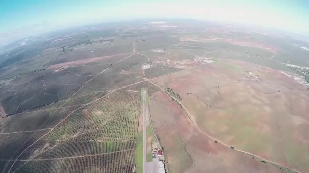
Professional skydiver fly on parachute in sky. Landscape. Adrenaline. Nature. Sport
Professional skydiver fly on parachute in sky. Landscape. Adrenaline. Nature. — Stock Video
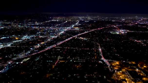
Aerial view of a Los Angeles, CA in 4K
Aerial view of a LA in 4K — Stock Video
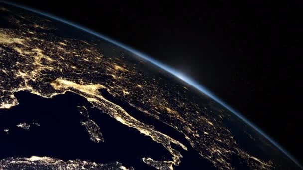
Sun rises over Earth to reveal Italy, Greece, France and North East Africa.
Sun Rises Earth Reveal Italy Greece France North East Africa — Stock Video
Globalized world, the future of digital technology. Connections and cloud computing in the virtual world. World map with satellite data connections. Connectivity across the world.
Globalized World Future Digital Technology Connections Cloud Computing Virtual World — Stock Video
North America tectonic plate featured & animated against the global relief map in the Mollweide projection. Tectonic plates borders (newest, prof. Peter Bird's division), earthquakes by strength & volcanoes
North America tectonics featured. Relief. Mollweide projection — Stock Video
Professional skydiver flying on parachute in sky. Extreme. Adrenaline. Height. Adrenaline. Speed
Professional skydiver flying on parachute in sky. Extreme. Adrenaline. Height. — Stock Video
Flying over Moscow, Russia in the night
Flying over Moscow in the night — Stock Video
Abstract globe with particles and plexus structure. Digital technology planet with continent forming. Triangulated structure. Glows and particles, alpha channel
Abstract globe with particles and plexus structure. Digital technology planet with continent forming. Triangulated structure. Glows and particles. alpha channel — Stock Video
Rivera tectonic plate. Natural Earth. Plate extruded and animated against the globe
Rivera tectonic plate. Natural Earth — Stock Video
Aerial view -Tokyo Cityscape Time Lapse
Aerial view -Tokyo Cityscape — Stock Video

Usage Information

You can use this royalty-free photo "Highly detailed Earth at night with embossed continents" for personal and commercial purposes according to the Standard or Extended License. The Standard License covers most use cases, including advertising, UI designs, and product packaging, and allows up to 500,000 print copies. The Extended License permits all use cases under the Standard License with unlimited print rights and allows you to use the downloaded stock images for merchandise, product resale, or free distribution.

You can buy this stock photo and download it in high resolution up to 5000x5000. Upload Date: May 16, 2012