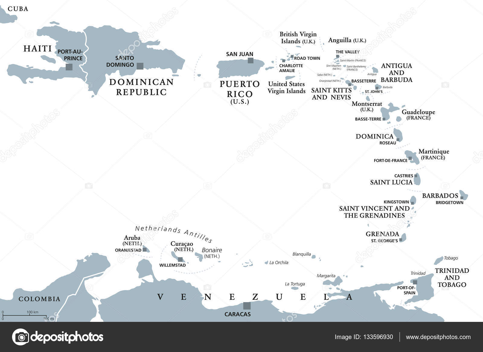
Lesser Antilles political map — Stock Vector

Lesser Antilles political map — Vector

Lesser Antilles political map. Caribbees with Haiti, Dominican Republic and Puerto Rico in the Caribbean Sea. Gray illustration with English labeling on white background. Vector.

 — Vector by Furian

Same Series:

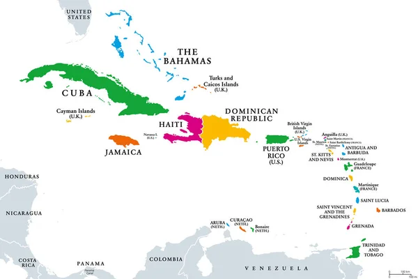
The Caribbean, colored political map. Subregion of the Americas in the Caribbean Sea with its islands and English names. The Greater Antilles and the Lesser Antilles. Isolated illustration over white.
Caribbean Colored Political Map Subregion Americas Caribbean Sea Its Islands — Stock Vector
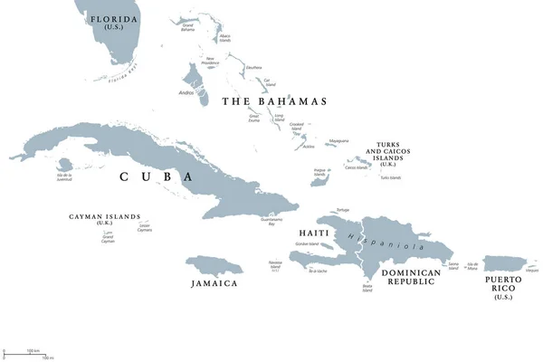
Greater Antilles political map with English labeling. Grouping of the larger islands in the Caribbean Sea with Cuba, Hispaniola, Puerto Rico, Jamaica and the Cayman Islands. Gray illustration. Vector.
Greater Antilles political map — Stock Vector
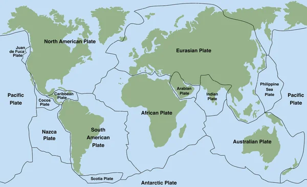
Plate tectonics - world map with major an minor plates. Vector illustration.
Plate Tectonics World — Stock Vector
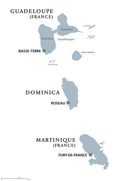
Guadeloupe, Dominica, Martinique political map with capitals Basse-Terre, Roseau and Fort-de-France. Caribbean islands, parts of Lesser Antilles. Gray illustration over white. English labeling. Vector
Guadeloupe, Dominica, Martinique political map — Stock Vector
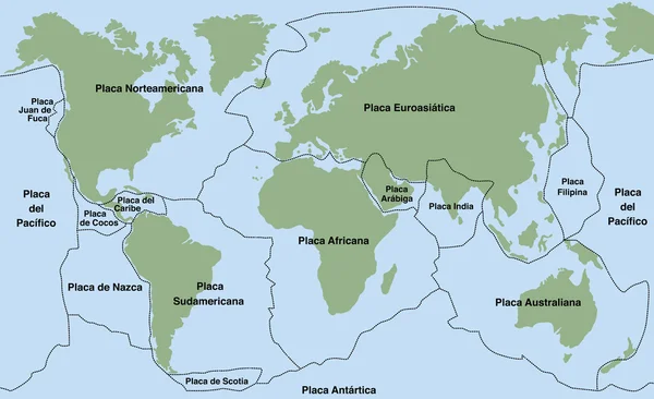
Plate tectonics- SPANISH TEXT! - planet earth with major an minor plates - vector illustration.
Plate Tectonics SPANISH TEXT — Stock Vector
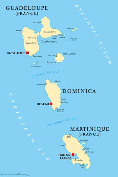
Guadeloupe, Dominica and Martinique political map with capitals Basse-Terre, Roseau and Fort-de-France. Islands in Caribbean Sea and parts of Lesser Antilles. Illustration. English labeling. Vector.
Guadeloupe, Dominica and Martinique political map — Stock Vector
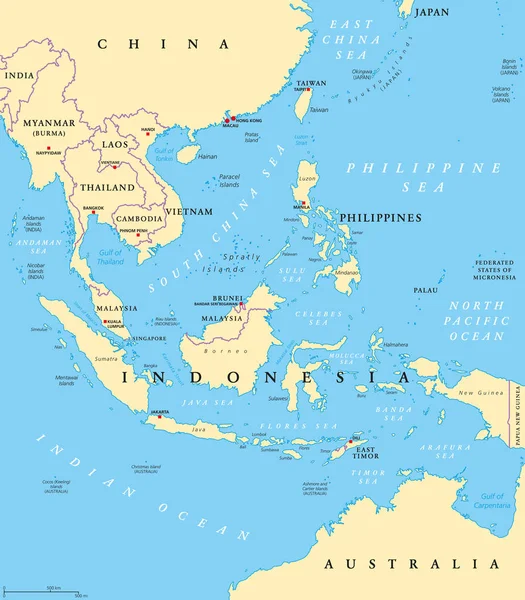
Southeast Asia, political map with capitals and borders. Subregion of Asia with countries south of China, east of India, west of New Guinea, north of Australia. English labeling. Illustration. Vector.
Southeast Asia Political Map Capitals Borders Subregion Asia Countries South — Stock Vector
Plate tectonics- ITALIAN LABELING! - planet earth with major an minor plates - vector illustration.
Plate Tectonics ITALIAN LABELING — Stock Vector
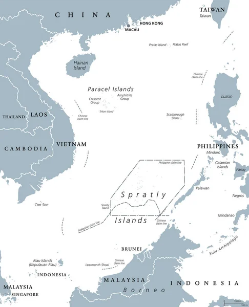
South China Sea Islands, political map. Paracel and Spratly Islands, atolls, cays and reefs. Partially claimed by China and other neighboring states. Gray illustration on white background. Vector.
South China Sea Islands political map — Stock Vector
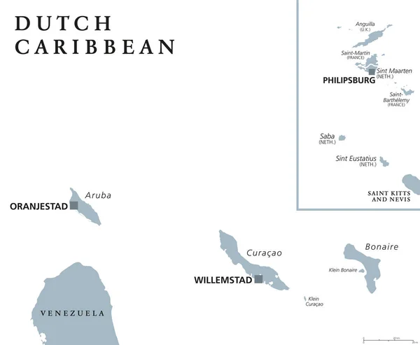
Dutch Caribbean political map with Aruba, Curacao, Bonaire, Sint Maarten, Saba and Sint Eustatius. Former Netherlands Antilles. Gray illustration isolated on white background. English labeling. Vector
Dutch Caribbean political map — Stock Vector
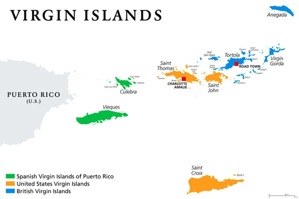
Virgin Islands map with political jurisdictions. British, Spanish and U.S. Virgin Islands in the Caribbean. British overseas territory and unincorporated territories of the USA. Illustration. Vector.
Virgin Islands Map Political Jurisdictions British Spanish Virgin Islands Caribbean — Stock Vector
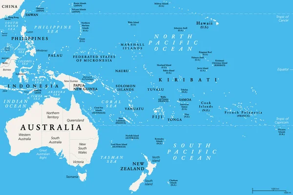
Oceania, political map. Australia and the Pacific, including New Zealand. Geographic region, southeast of the Asia-Pacific region, including Australasia, Melanesia, Micronesia and Polynesia. Vector.
Oceania Political Map Australia Pacific Including New Zealand Geographic Region — Stock Vector
Plate tectonics- FRENCH TERMS! - planet earth with major an minor plates - vector illustration.
Plate Tectonics FRENCH TERMS — Stock Vector
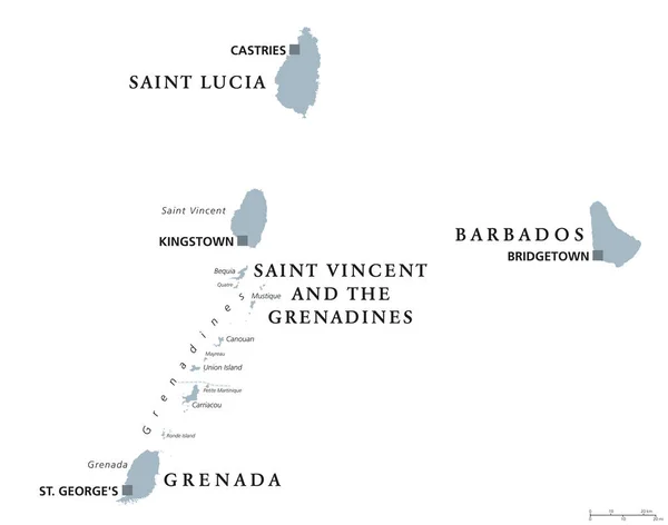
Barbados, Grenada, Saint Lucia, Saint Vincent and the Grenadines political map. Caribbean islands, part of Lesser Antilles and Windward Islands. Gray illustration over white. English labeling. Vector.
Barbados, Grenada, Saint Lucia, Saint Vincent political map — Stock Vector
Grenada political map with capital St. Georges. Island Country and part of the Windward Islands and Lesser Antilles in the Caribbean Sea. English labeling and scaling. Illustration.
Grenada Political Map — Stock Vector
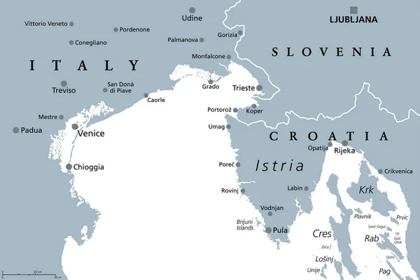
Gulf of Venice, gray political map. A bay of water in the northern Adriatic Sea, limited by the Po delta and Venetian Lagoon in Italy, and the Istrian Peninsula in Croatia, also bordered by Slovenia.
Gulf Venice Gray Political Map Bay Water Northern Adriatic Sea — Stock Vector

Similar Stock Videos:
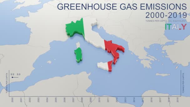
Greenhouse gas emissions in Italy from 2000 to 2019. Values in tonnes per capita (CO2 equivalent). Source data: Eurostat. 3D rendering loop able video with 4K resolution.
Greenhouse Gas Emissions Italy 2000 2019 Values Tonnes Capita Co2 — Stock Video
Animated detailed map of Germany country
Animated detailed map of Germany — Stock Video
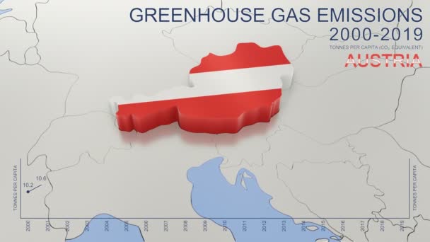
Greenhouse gas emissions in Austria from 2000 to 2019. Values in tonnes per capita (CO2 equivalent). Source data: Eurostat. 3D rendering loop able video with 4K resolution.
Greenhouse Gas Emissions Austria 2000 2019 Values Tonnes Capita Co2 — Stock Video
Uzbekistan map highlighted in Uzbekistan flag colors and pin of country capital Tashkent, map with neighboring Asian countries.
Uzbekistan Map Highlighted Uzbekistan Flag Colors Pin Country Capital Tashkent — Stock Video
India map highlighted in India flag colors and pin of country capital New Delhi, map with neighboring Asian countries.
India Map Highlighted India Flag Colors Pin Country Capital New — Stock Video
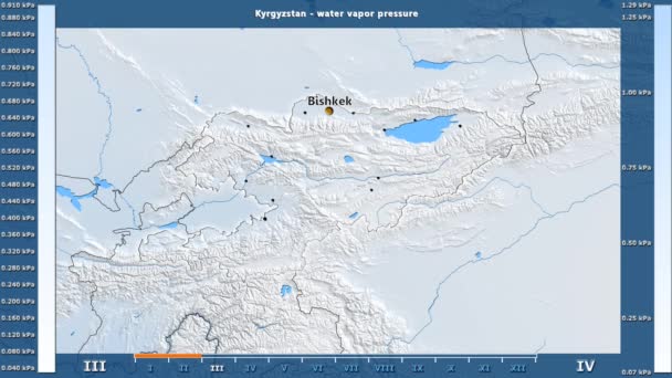
Water vapor pressure by month in the Kyrgyzstan area with animated legend - English labels: country and capital names, map description. Stereographic projection
Water Vapor Pressure Month Kyrgyzstan Area Animated Legend English Labels — Stock Video
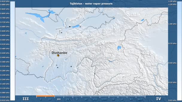
Water vapor pressure by month in the Tajikistan area with animated legend - English labels: country and capital names, map description. Stereographic projection
Water Vapor Pressure Month Tajikistan Area Animated Legend English Labels — Stock Video
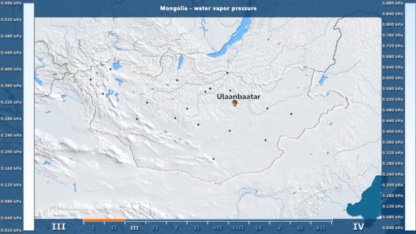
Water vapor pressure by month in the Mongolia area with animated legend - English labels: country and capital names, map description. Stereographic projection
Water Vapor Pressure Month Mongolia Area Animated Legend English Labels — Stock Video
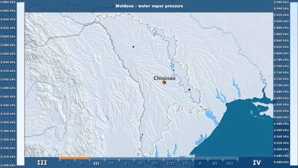
Water vapor pressure by month in the Moldova area with animated legend - English labels: country and capital names, map description. Stereographic projection
Water Vapor Pressure Month Moldova Area Animated Legend English Labels — Stock Video
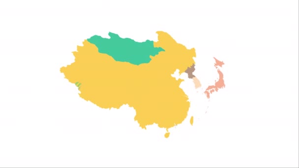
Animation of the map of East Asia region
Animation of the map of East Asia — Stock Video
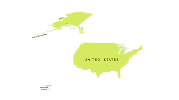
Animation of the map of the USA
Animation of the map of the United States of America — Stock Video
Greenhouse gas emissions in France from 2000 to 2019. Values in tonnes per capita (CO2 equivalent). Source data: Eurostat. 3D rendering loop able video with 4K resolution.
Greenhouse Gas Emissions France 2000 2019 Values Tonnes Capita Co2 — Stock Video
Thank You Word Cloud in vector format.(multi language translation: Thank you)
Thank You Word Cloud Vector Format Multi Language Translation Thank — Stock Video
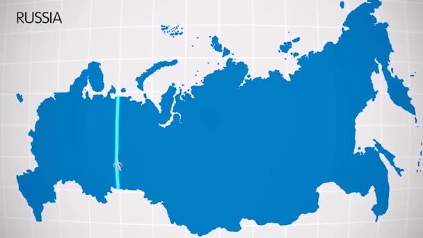
The division of Europe and Asia on the map. the city Ekaterinburg divides Europe and Asia. Eurasia on the map Animation. Eurasia. Yekaterinburg animation HD
The division of Europe and Asia on the map. the city Ekaterinburg divides Europe and Asia. Eurasia on the map Animation. Eurasia. Yekaterinburg animation — Stock Video
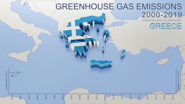
Greenhouse gas emissions in Greece from 2000 to 2019. Values in tonnes per capita (CO2 equivalent). Source data: Eurostat. 3D rendering loop able video with 4K resolution.
Greenhouse Gas Emissions Greece 2000 2019 Values Tonnes Capita Co2 — Stock Video
Water vapor pressure by month in the Belgium area with animated legend - English labels: country and capital names, map description. Stereographic projection
Water Vapor Pressure Month Belgium Area Animated Legend English Labels — Stock Video
The division of Europe and Asia on the map. the city Ekaterinburg divides Europe and Asia. Eurasia on the map Animation. Eurasia. Yekaterinburg animation HD
The division of Europe and Asia on the map. the city Ekaterinburg divides Europe and Asia. Eurasia on the map Animation. Eurasia. Yekaterinburg animation — Stock Video
World map 3d cartography China
World Map Cartography China — Stock Video

Usage Information

You can use this royalty-free vector image "Lesser Antilles political map" for personal and commercial purposes according to the Standard or Extended License. The Standard License covers most use cases, including advertising, UI designs, and product packaging, and allows up to 500,000 print copies. The Extended License permits all use cases under the Standard License with unlimited print rights and allows you to use the downloaded vector files for merchandise, product resale, or free distribution.

This stock vector image is scalable to any size. You can buy and download it in high resolution up to 9666x6455. Upload Date: Dec 8, 2016