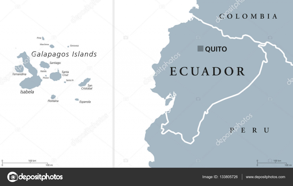
Ecuador and Galapagos Islands Political Map — Stock Vector

Ecuador and Galapagos Islands Political Map — Vector

Ecuador political map with capital Quito and the Galapagos Islands in the Pacific Ocean. Republic in South America. Gray illustration with English labeling on white background. Vector.

 — Vector by Furian

Same Series:

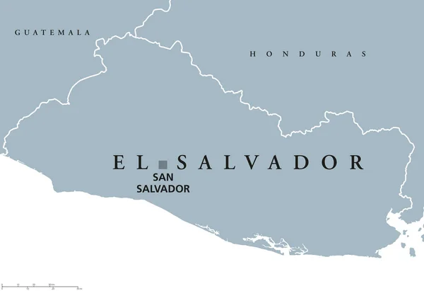
El Salvador political map with capital San Salvador, national borders and neighbors. Republic and country in Central America. Gray illustration isolated on white background. English labeling. Vector.
El Salvador political map — Stock Vector
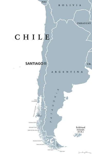
Chile political map with capital Santiago, national borders and neighbors. Republic and country in South America. Long, narrow strip of land. Gray illustration over white. English labeling. Vector.
Chile political map — Stock Vector
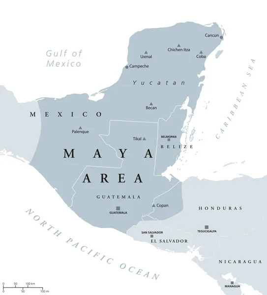
Maya area political map. Mesoamerican civilization and high culture of pre-Columbian Americas. Capitals, national borders and most important ancient cities. Illustration with English labeling. Vector.
Maya area political map — Stock Vector
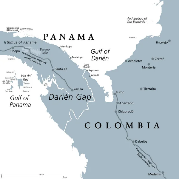
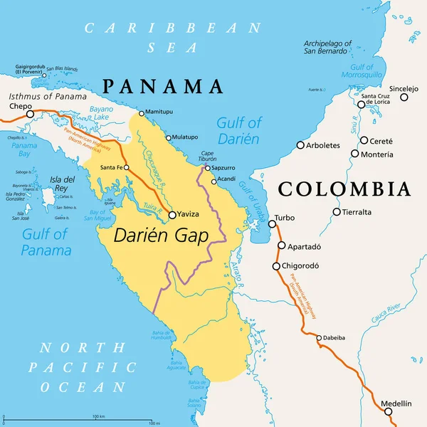
Darien Gap, gray political map. Region in the Isthmus of Panama, connecting North and South America with Central America. The gap is in the Pan-American Highway of which a part were not built.
Darien Gap Gray Political Map Region Isthmus Panama Connecting North — Stock Vector
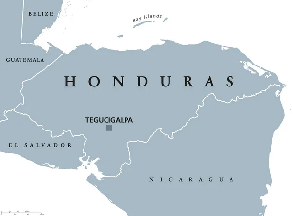
Honduras political map with capital Tegucigalpa, national borders and neighbors. Republic and country in Central America. Spanish Honduras. Gray illustration over white. English labeling. Vector.
Honduras political map — Stock Vector
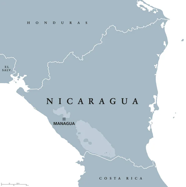
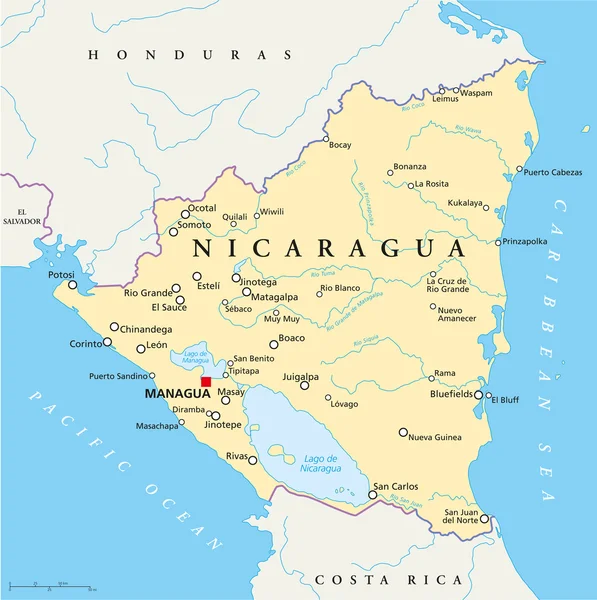
Nicaragua political map with capital Managua, national borders and neighbors. Republic and country in Central America isthmus. Gray illustration isolated on white background. English labeling. Vector.
Nicaragua political map — Stock Vector
El Salvador Political Map with capital San Salvador, national borders, most important cities, rivers and lakes. Illustration with English labeling and scaling.
El Salvador Political Map — Stock Vector
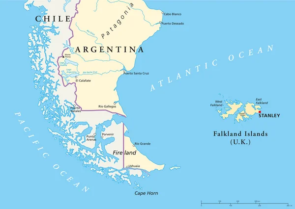
Political map of the Falkland Islands and part of South America with national borders, most important cities, rivers and lakes. Vector illustration with English labeling and scaling.
Falkland Islands Policikal Map — Stock Vector
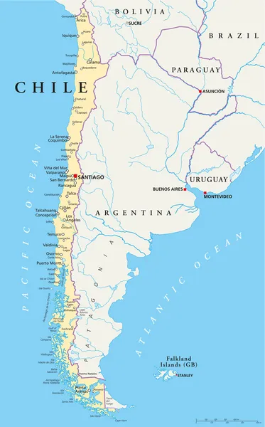
Political map of Chile with the capital Santiago, national borders, most important cities, rivers and lakes. Vector illustration with english labeling and scale.
Chile Political Map — Stock Vector
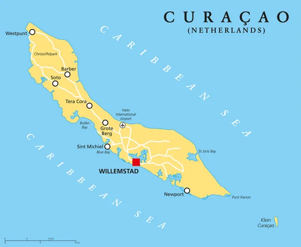
Curacao Political Map with capital Willemstad and important cities. English labeling and scaling. Illustration.
Curacao Political Map — Stock Vector
Political map of Nicaragua with capital Managua, with national borders, most important cities, rivers and lakes. Illustration with English labeling and scaling.
Nicaragua Political Map — Stock Vector
Darien Gap, political map. Geographical region in the Isthmus of Panama, connecting North and South America with Central America. The gap is in the Pan-American Highway of which a part were not built.
Darien Gap Political Map Geographical Region Isthmus Panama Connecting North — Stock Vector
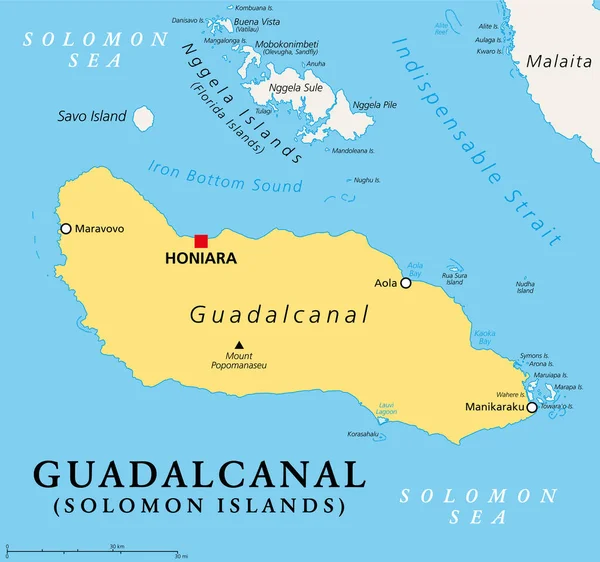
Guadalcanal, principal and largest island of the Solomon Islands, located in the Solomon Sea, and in the southwestern Pacific Ocean, with Honiara, the capital of the island country. Illustration.
Guadalcanal Principal Largest Island Solomon Islands Located Solomon Sea Southwestern — Stock Vector
Curacao, gray political map. Island in the Leeward Antilles in the Caribbean Sea with capital Willemstad. Lesser Antilles island country and part of the ABC islands, off the coast of Venezuela. Vector
Curacao Gray Political Map Island Leeward Antilles Caribbean Sea Capital — Stock Vector
Political map of South America with single states,capitals, national borders, lakes and rivers. Vector illustration with English labeling and scaling.
South America Single States Map — Stock Vector

Similar Stock Videos:
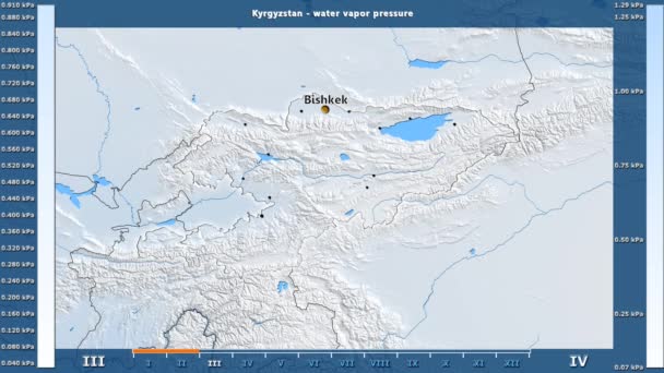
Water vapor pressure by month in the Kyrgyzstan area with animated legend - English labels: country and capital names, map description. Stereographic projection
Water Vapor Pressure Month Kyrgyzstan Area Animated Legend English Labels — Stock Video
Sibiu, county of Romania, with its capital, localized, outlined and zoomed with informative overlays on a solid patterned map in the Stereographic projection
Sibiu location. Romania. Solid patterned map — Stock Video
Solar radiation by month in the Panama area with animated legend - raw color shader. Stereographic projection
Solar Radiation Month Panama Area Animated Legend Raw Color Shader — Stock Video
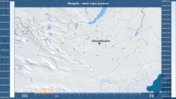
Water vapor pressure by month in the Mongolia area with animated legend - English labels: country and capital names, map description. Stereographic projection
Water Vapor Pressure Month Mongolia Area Animated Legend English Labels — Stock Video
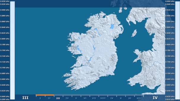
Water vapor pressure by month in the Ireland area with animated legend - raw color shader. Stereographic projection
Water Vapor Pressure Month Ireland Area Animated Legend Raw Color — Stock Video
India map highlighted in India flag colors and pin of country capital New Delhi, map with neighboring Asian countries.
India Map Highlighted India Flag Colors Pin Country Capital New — Stock Video
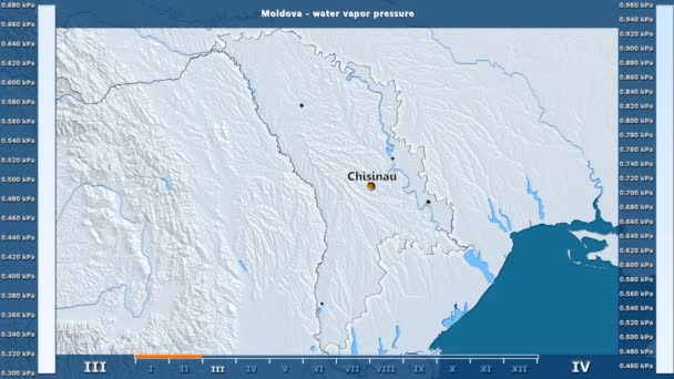
Water vapor pressure by month in the Moldova area with animated legend - English labels: country and capital names, map description. Stereographic projection
Water Vapor Pressure Month Moldova Area Animated Legend English Labels — Stock Video
Water vapor pressure by month in the Finland area with animated legend - raw color shader. Stereographic projection
Water Vapor Pressure Month Finland Area Animated Legend Raw Color — Stock Video
Water vapor pressure by month in the Germany area with animated legend - English labels: country and capital names, map description. Stereographic projection
Water Vapor Pressure Month Germany Area Animated Legend English Labels — Stock Video
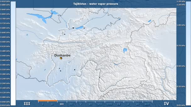
Water vapor pressure by month in the Tajikistan area with animated legend - English labels: country and capital names, map description. Stereographic projection
Water Vapor Pressure Month Tajikistan Area Animated Legend English Labels — Stock Video
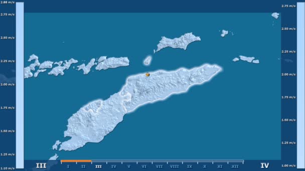
Wind speed by month in the East Timor area with animated legend - glowing shape, administrative borders, main cities, capital. Stereographic projection
Wind Speed Month East Timor Area Animated Legend Glowing Shape — Stock Video
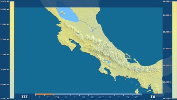
Solar radiation by month in the Costa Rica area with animated legend - raw color shader. Stereographic projection
Solar Radiation Month Costa Rica Area Animated Legend Raw Color — Stock Video
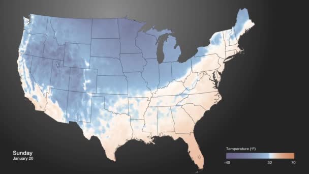
An extreme cold front moves into the American midwest.
Extreme Cold Front Moves American Midwest — Stock Video
Water vapor pressure by month in the Finland area with animated legend - English labels: country and capital names, map description. Stereographic projection
Water Vapor Pressure Month Finland Area Animated Legend English Labels — Stock Video
Water vapor pressure by month in the Sweden area with animated legend - raw color shader. Stereographic projection
Water Vapor Pressure Month Sweden Area Animated Legend Raw Color — Stock Video
Uzbekistan map highlighted in Uzbekistan flag colors and pin of country capital Tashkent, map with neighboring Asian countries.
Uzbekistan Map Highlighted Uzbekistan Flag Colors Pin Country Capital Tashkent — Stock Video
Wind speed by month in the Costa Rica area with animated legend - raw color shader. Stereographic projection
Wind Speed Month Costa Rica Area Animated Legend Raw Color — Stock Video
Water vapor pressure by month in the Denmark area with animated legend - raw color shader. Stereographic projection
Water Vapor Pressure Month Denmark Area Animated Legend Raw Color — Stock Video

Usage Information

You can use this royalty-free vector image "Ecuador and Galapagos Islands Political Map" for personal and commercial purposes according to the Standard or Extended License. The Standard License covers most use cases, including advertising, UI designs, and product packaging, and allows up to 500,000 print copies. The Extended License permits all use cases under the Standard License with unlimited print rights and allows you to use the downloaded vector files for merchandise, product resale, or free distribution.

This stock vector image is scalable to any size. You can buy and download it in high resolution up to 10333x5920. Upload Date: Dec 10, 2016