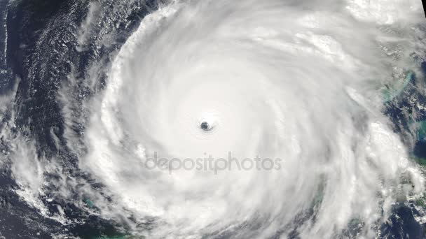
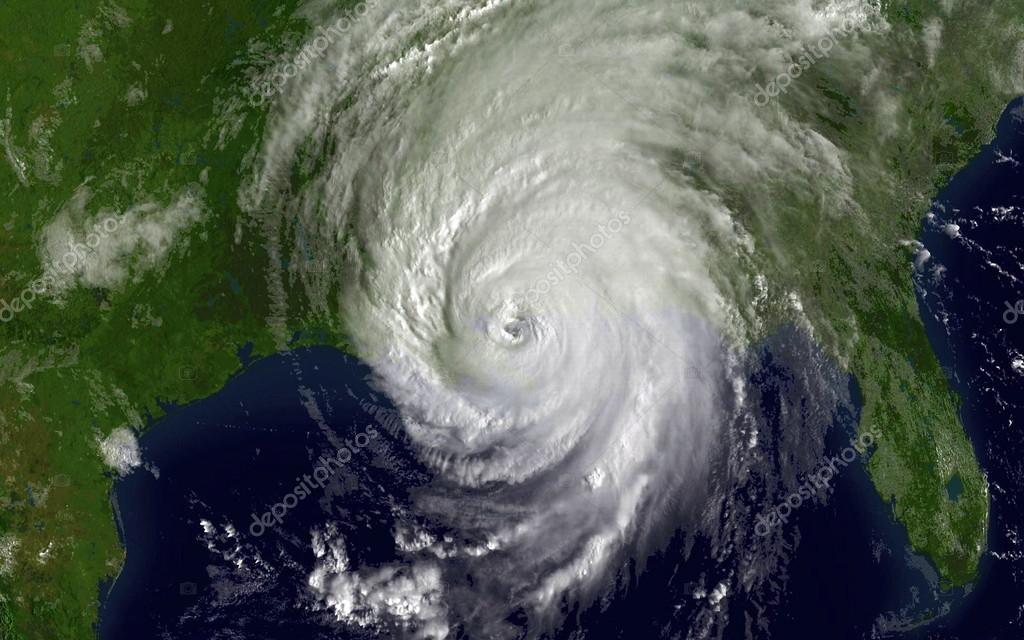
Satellite photo of Hurricane Katrina over The Gulf of Mexico — Stock Photo, Image

Satellite photo of Hurricane Katrina over The Gulf of Mexico — Photo

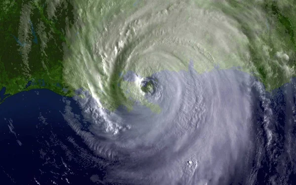
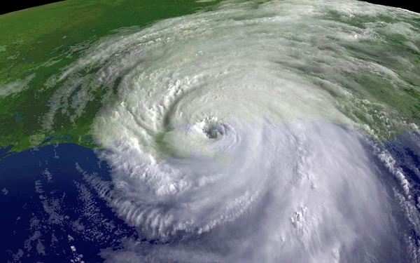
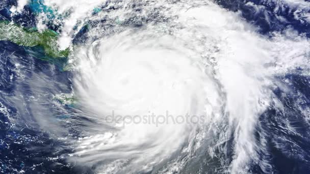
Satellite photo of Hurricane Katrina over The Gulf of Mexico on August 28, 2005. This NOAA image is in the public domain. GOES-12 4 km infrared imagery.

 — Photo by alancrosthwaite

Same Series:

Satellite photo of Hurricane Katrina over The Gulf of Mexico on August 28, 2005. This NOAA image is in the public domain. GOES-12 4 km infrared imagery.
Hurricane Katrina 2005 — Stock Photo, Image
Satellite photo of Hurricane Katrina over The Gulf of Mexico on August 28, 2005. This NOAA image is in the public domain. GOES-12 4 km infrared imagery.
Satellite photo of Hurricane Katrina over The Gulf of Mexico — Stock Photo, Image
Satellite photo of Hurricane Katrina over The Gulf of Mexico on August 28, 2005. This NOAA image is in the public domain. GOES-12 4 km infrared imagery.
Hurricane Katrina 2005 — Stock Photo, Image
Satellite photo of Hurricane Katrina over The Gulf of Mexico on August 28, 2005. This NOAA image is in the public domain. GOES-12 4 km infrared imagery.
Hurricane Katrina - 2005 — Stock Photo, Image
Satellite photo of Hurricane Katrina over The Gulf of Mexico on August 28, 2005. This NOAA image is in the public domain. GOES-12 4 km infrared imagery.
Satellite photo of Hurricane Katrina over The Gulf of Mexico — Stock Photo, Image
Satellite photo of Hurricane Katrina over The Gulf of Mexico on August 28, 2005. This NOAA image is in the public domain. GOES-12 4 km infrared imagery
Hurricane Katrina over The Gulf of Mexico — Stock Photo, Image
Hurricane Sandy in the Gulf Of Mexico photograph courtesy of NOAA satellite imagery in the public domain taken on October 25th, 2012. Sandy is estimated to have left $100 Billion in damage and destruction.
Hurricane Sandy — Stock Photo, Image
Satellite photo of Hurricane Katrina over The Gulf of Mexico on August 28, 2005. This NOAA image is in the public domain. GOES-12 4 km infrared imagery.
Satellite photo of Hurricane Katrina over The Gulf of Mexico — Stock Photo, Image
Satellite photo of Hurricane Katrina over The Gulf of Mexico on August 28, 2005. This NOAA image is in the public domain. GOES-12 4 km infrared imagery
Hurricane Katrina over The Gulf of Mexico — Stock Photo, Image
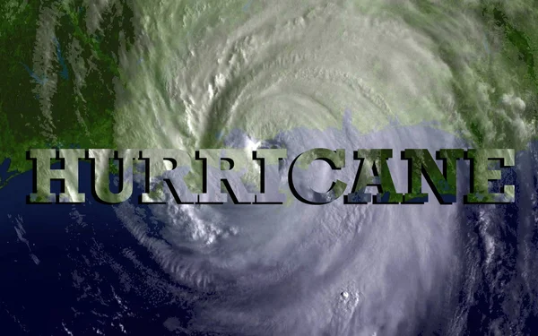
Satellite photo of Hurricane Katrina over The Gulf of Mexico on August 28, 2005. This NOAA image is in the public domain. GOES-12 4 km infrared imagery. The bolded words "hurricane force" in the middle of the image.
Satellite photo of Hurricane Katrina over The Gulf of Mexico — Stock Photo, Image
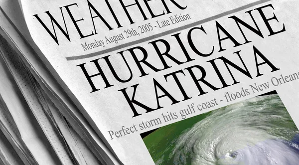
Hurricane Katrina slams into the gulf on August 29th, 2005 reaping devastation and billions of dollars worth of damage. Katrina satellite image courtesy of NOAA via
Hurricane Katrina slams into the gulf — Stock Photo, Image
Hurricane Katrina slams into the gulf on August 29th, 2005 reaping devastation and billions of dollars worth of damage. Katrina satellite image courtesy of NOAA via
Hurricane Katrina slams into the gulf — Stock Photo, Image
Hurricane Katrina slams into the gulf on August 29th, 2005 reaping devastation and billions of dollars worth of damage. Katrina satellite image courtesy of NOAA via
Hurricane Katrina slams into the gulf — Stock Photo, Image
Tracking A Hurricane
Tracking A Hurricane — Stock Photo, Image

Similar Stock Videos:

CYCLONE
CYCLONE — Stock Video
Hurricane storm, tornado, satellite view. Elements of this image furnished by NASA
Hurricane From Space on Earth — Stock Video
Volcanic Eruption as seen from space. Breathtaking view.
Volcanic Eruption as seen from space — Stock Video
Hurricane sattelite view
Hurricane — Stock Video
Hurricane storm, tornado, satellite view. Elements of this image furnished by NASA
Hurricane From Space on Earth — Stock Video
Realistic giant hurricane seen from the space. Spinning hurricane animation made from NASA images. 4k
Realistic Giant Hurricane Seen Space Spinning Hurricane Animation Made Nasa — Stock Video
Hurricane view from space. hurricane spinning in ocean from satellite from above. eye of a large typhoon. hurricane in the ocean. hurricane storm, tornado, satellite view.
Hurricane view from space. hurricane spinning in ocean from satellite from above. eye of a large typhoon. hurricane in the ocean. hurricane storm, tornado, satellite view — Stock Video
Hurricane Storm, tornado, satellite view. Elements of this image furnished by NASA
Hurricane Storm, tornado, satellite view. Elements of this image furnished by NASA — Stock Video
Hurricane spinning in ocean from satellite from above.
Hurricane spinning in ocean from satellite from above. eye of a large typhoon. hurricane in the ocean. hurricane storm, tornado, satellite view — Stock Video
Hurricane storm, tornado, satellite view. Elements of this image furnished by NASA
Hurricane From Space on Earth — Stock Video
A fictional hurricane resembling Katrina spins in the open ocean. Modified hurricane image courtesy of NOAA.GOV.
Hurricane in the Ocean — Stock Video
A fictional hurricane resembling Katrina bears down on America's Gulf Coast near Louisiana. Hurricane image courtesy of NOAA.GOV.
Hurricane — Stock Video
Hurricane Storm, tornado, satellite view. Elements of this image furnished by NASA
Hurricane Storm, tornado, satellite view. Elements of this image furnished by NASA — Stock Video
Real slow motion shot at 120fps. Wave passing by.-
Ocean Wave (Super Slow Motion) — Stock Video
Fish in the pond eating bread. fish feeding:Full HD
Fish in the pond eating bread. fish feeding:Full HD — Stock Video
Time-lapse custom composited animation of a massive hurricane. Multiple layers of depth to create a very realistic look and feel. Fractional parts of imagery sourced from the amazing public domain images from http://www.nasa.gov.
Hurricane Satellite View (HD) — Stock Video
Breathtaking view from space with a huge hurricane. Hurricane Irma, storm, tornado.
Breathtaking View Space Huge Hurricane Hurricane Irma Storm Tornado — Stock Video
Ice stalactites and stalagmites in landscape underground ice cave inside mountain in Arctic between l towns Barentsburg and Longyearbyen among snow-capped mountains of Svalbard in spring. Spitsbergen.
Ice stalactites and stalagmites in ice cave. — Stock Video

Usage Information

You can use this royalty-free photo "Satellite photo of Hurricane Katrina over The Gulf of Mexico" for personal and commercial purposes according to the Standard or Extended License. The Standard License covers most use cases, including advertising, UI designs, and product packaging, and allows up to 500,000 print copies. The Extended License permits all use cases under the Standard License with unlimited print rights and allows you to use the downloaded stock images for merchandise, product resale, or free distribution.

You can buy this stock photo and download it in high resolution up to 8000x5000. Upload Date: Nov 1, 2012