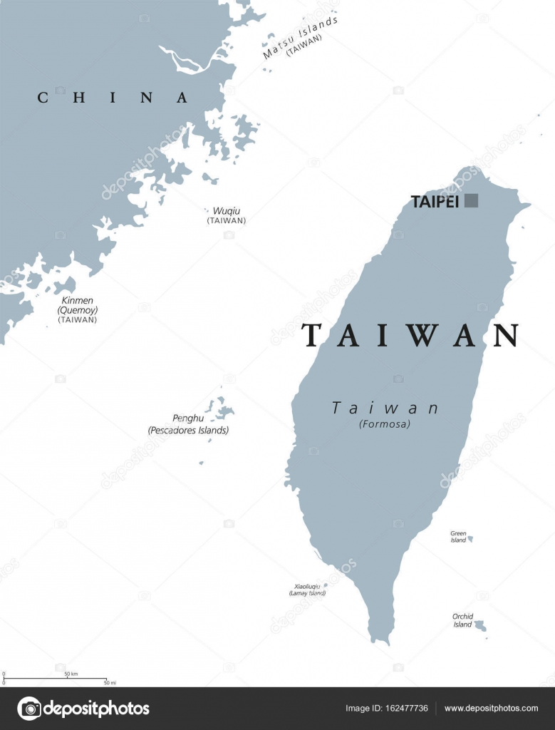
Taiwan or Republic of China ROC political map — Stock Vector

Taiwan or Republic of China ROC political map — Vector

Taiwan political map with capital Taipei. English labeling. Officially the Republic of China, ROC, a state in East Asia on the island of Taiwan, formerly known as Formosa. Gray illustration. Vector.

 — Vector by Furian

Same Series:

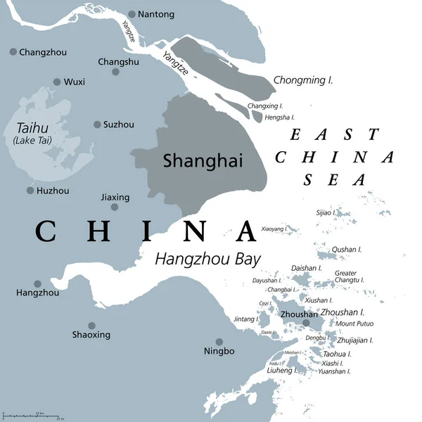
Shanghai and the Yangtze River Delta, gray political map, with major cities. Megalopolis of China, located where Yangtze River drains into East China Sea, with Hangzhou Bay and Zhoushan Archipelago.
Shanghai Yangtze River Delta Gray Political Map Major Cities Megalopolis — Stock Vector
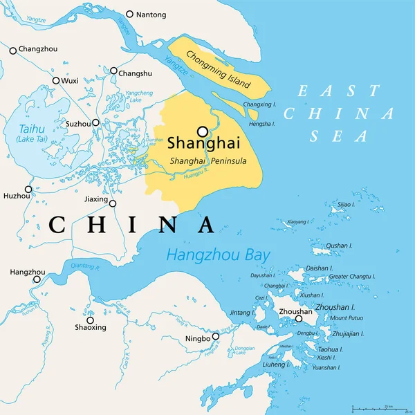
Shanghai and the Yangtze River Delta, political map with major cities. Megalopolis of China, located where the Yangtze River drains into the East China Sea, with Hangzhou Bay and Zhoushan Archipelago.
Shanghai Yangtze River Delta Political Map Major Cities Megalopolis China — Stock Vector
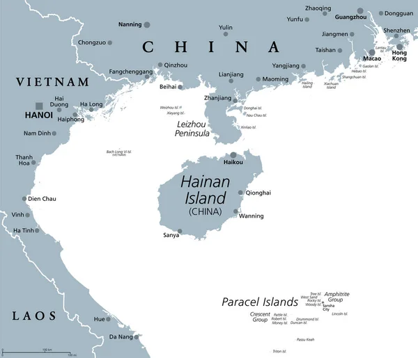
Hainan, southernmost province of China, and surrounding area, gray political map. Hainan Island, and Paracel Islands in the South China Sea, south of the Leizhou Peninsula, and east of Gulf of Tonkin.
Hainan Southernmost Province China Surrounding Area Gray Political Map Hainan — Stock Vector
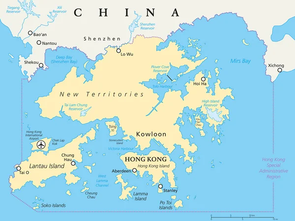
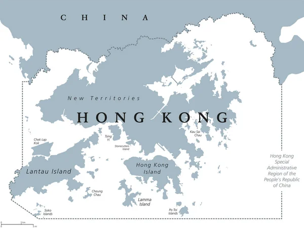
Hong Kong and vicinity political map. World financial Centre and Special Administrative Region in Guangdong Province of China. English labeling and scaling. Illustration.
Hong Kong And Vicinity Political Map — Stock Vector
Hong Kong and vicinity political map. English labeling. Hong Kong Special Administrative Region of the Peoples Republic of China. Autonomous territory on Pearl River Delta. Gray illustration. Vector.
Hong Kong political map — Stock Vector
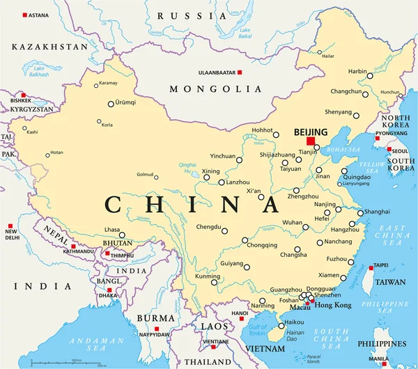
China political map with capital Beijing, national borders, important cities, rivers and lakes. English labeling and scaling. Illustration.
China Political Map — Stock Vector
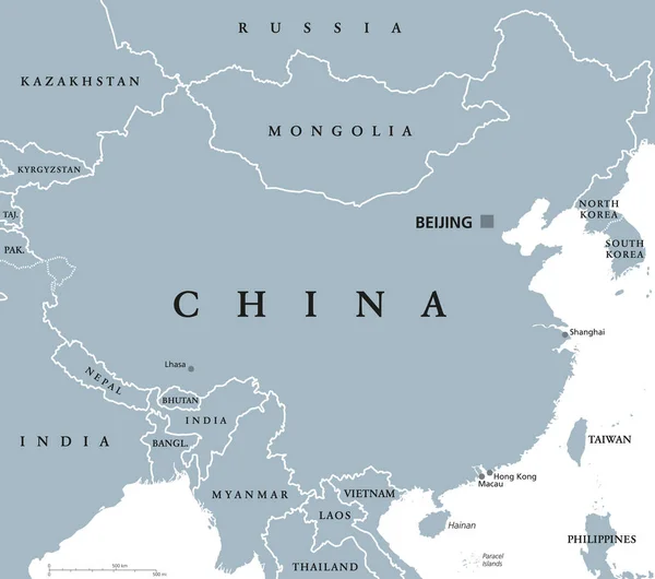
China political map with capital Beijing and national borders. Peoples Republic in East Asia. With Shanghai, Hong Kong and Macau. Gray illustration with English labeling on white background. Vector.
China political map — Stock Vector
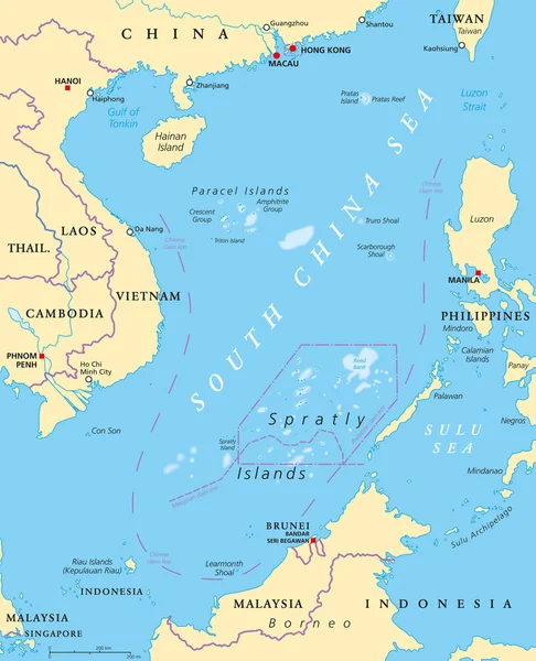
South China Sea Islands, political map. Islands, atolls, cays, shoals, reefs and sandbars. Partially claimed by China and other neighboring states. Paracel and Spratly Islands. Illustration. Vector.
South China Sea Islands Political Map Islands Atolls Cays Shoals — Stock Vector
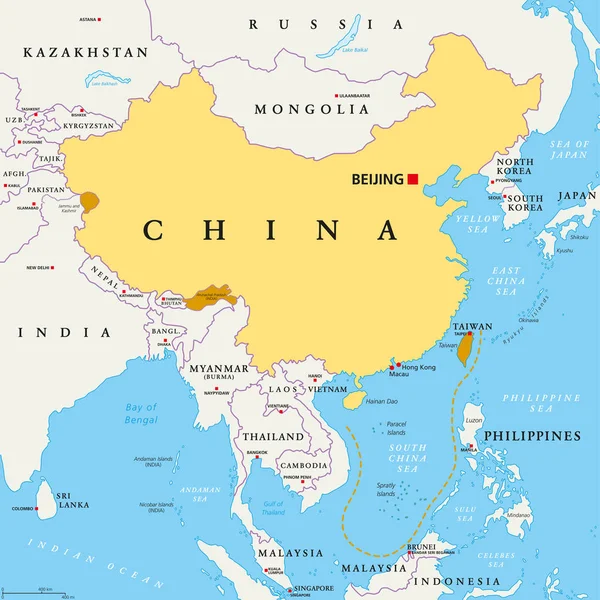
Peoples Republic of China, PRC, political map. Area controlled by China in yellow, and claimed but uncontrolled regions shown in orange. Capitals and borders. English labeling. Illustration. Vector.
Peoples Republic China Prc Political Map Area Controlled China Yellow — Stock Vector
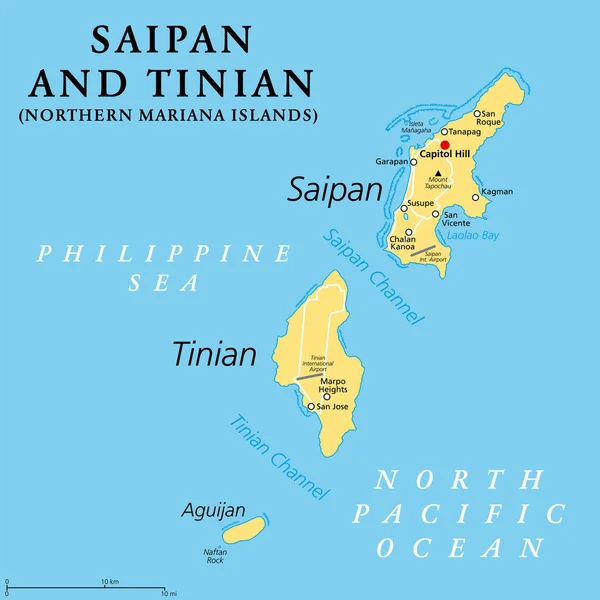
Saipan and Tinian, Northern Mariana Islands, political map. Islands of the Mariana Archipelago. Unincorporated territory and commonwealth of the United States, with administrative center Capitol Hill.
Saipan Tinian Northern Mariana Islands Political Map Islands Mariana Archipelago — Stock Vector
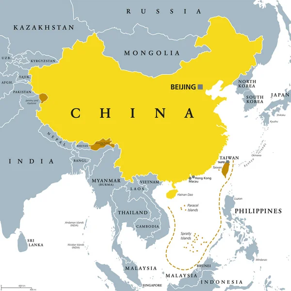
Peoples Republic of China, PRC, gray political map. Area controlled by China in yellow color, and claimed but uncontrolled regions shown in brown. English labeling. Illustration over white. Vector.
Peoples Republic China Prc Gray Political Map Area Controlled China — Stock Vector
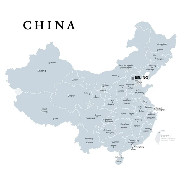
China, gray political map, with administrative divisions. PRC, People's Republic of China with capital Beijing, provinces with capitals and borders. English labeling. Illustration over white. Vector.
China Gray Political Map Administrative Divisions Prc People Republic China — Stock Vector
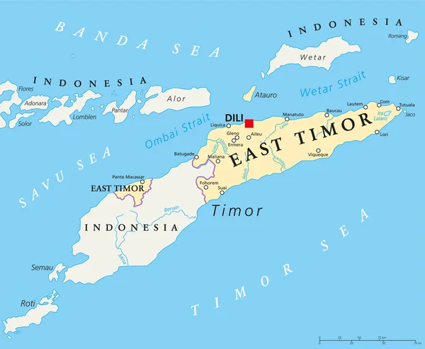
East Timor political map with capital Dili, national borders, important cities and rivers. Also known as Timor Leste, a sovereign state in Southeast Asia bordered to Indonesia. English labeling.
East Timor Political Map — Stock Vector
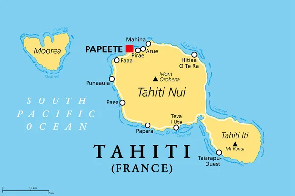
Tahiti, French Polynesia, political map. Largest island of the Windward group of the Society Islands, with capital Papeete. Overseas collectivity of France, located in the South Pacific Ocean. Vector.
Tahiti French Polynesia Political Map Largest Island Windward Group Society — Stock Vector
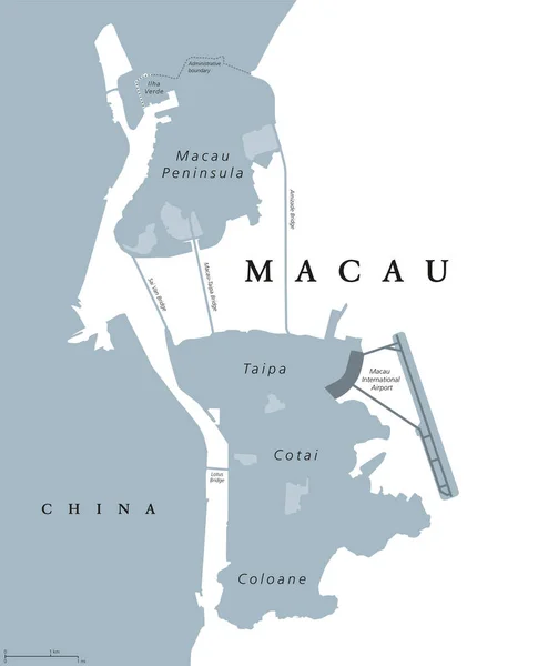
Macau political map. Also spelled Macao. English labeling. Special Administrative Region of Peoples Republic of China in East Asia. Worlds largest gambling centre. Gray illustration over white. Vector
Macau political map — Stock Vector
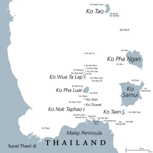
From Ko Samui to Ko Tao, gray political map. Popular tourist and travel destinations with numerous islands off the coast of Thailand, geographically in the Chumphon Province and Surat Thani Province.
Samui Tao Gray Political Map Popular Tourist Travel Destinations Numerous — Stock Vector

Similar Stock Videos:

Uzbekistan map highlighted in Uzbekistan flag colors and pin of country capital Tashkent, map with neighboring Asian countries.
Uzbekistan Map Highlighted Uzbekistan Flag Colors Pin Country Capital Tashkent — Stock Video
India map highlighted in India flag colors and pin of country capital New Delhi, map with neighboring Asian countries.
India Map Highlighted India Flag Colors Pin Country Capital New — Stock Video
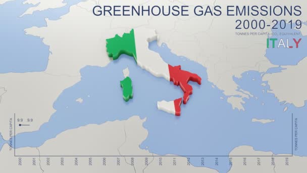
Greenhouse gas emissions in Italy from 2000 to 2019. Values in tonnes per capita (CO2 equivalent). Source data: Eurostat. 3D rendering loop able video with 4K resolution.
Greenhouse Gas Emissions Italy 2000 2019 Values Tonnes Capita Co2 — Stock Video
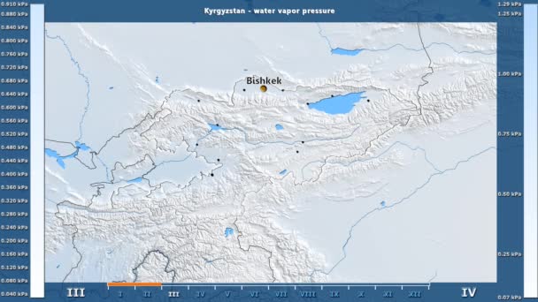
Water vapor pressure by month in the Kyrgyzstan area with animated legend - English labels: country and capital names, map description. Stereographic projection
Water Vapor Pressure Month Kyrgyzstan Area Animated Legend English Labels — Stock Video
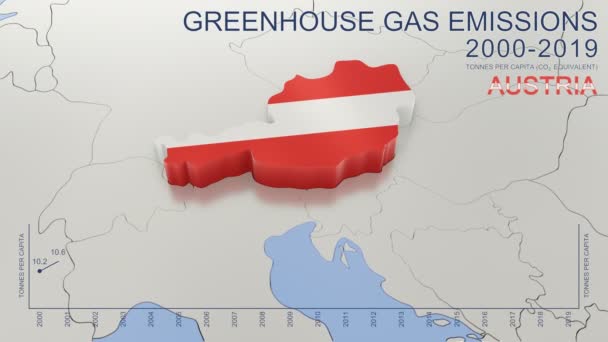
Greenhouse gas emissions in Austria from 2000 to 2019. Values in tonnes per capita (CO2 equivalent). Source data: Eurostat. 3D rendering loop able video with 4K resolution.
Greenhouse Gas Emissions Austria 2000 2019 Values Tonnes Capita Co2 — Stock Video
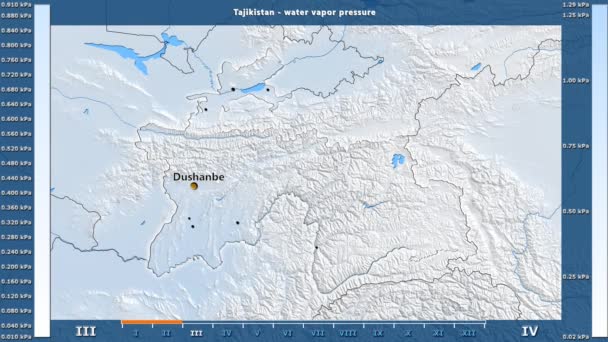
Water vapor pressure by month in the Tajikistan area with animated legend - English labels: country and capital names, map description. Stereographic projection
Water Vapor Pressure Month Tajikistan Area Animated Legend English Labels — Stock Video
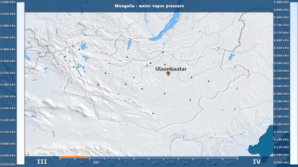
Water vapor pressure by month in the Mongolia area with animated legend - English labels: country and capital names, map description. Stereographic projection
Water Vapor Pressure Month Mongolia Area Animated Legend English Labels — Stock Video
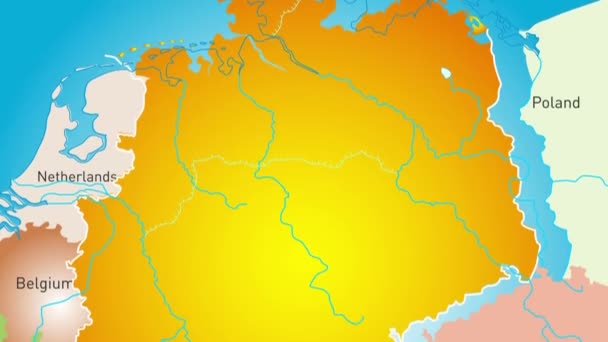
Animated detailed map of Germany country
Animated detailed map of Germany — Stock Video
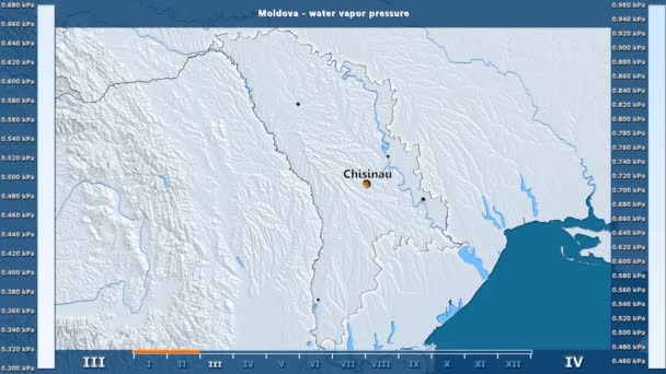
Water vapor pressure by month in the Moldova area with animated legend - English labels: country and capital names, map description. Stereographic projection
Water Vapor Pressure Month Moldova Area Animated Legend English Labels — Stock Video
Water vapor pressure by month in the Belgium area with animated legend - English labels: country and capital names, map description. Stereographic projection
Water Vapor Pressure Month Belgium Area Animated Legend English Labels — Stock Video
James Cook. great geographical discoveries. trip around the world
The great world tour - James Cook. — Stock Video
Vintage American Map Animation With States Names/ 4k animation of a vintage textured american map background, with names of fifty states
Vintage American Map Animation States Names Animation Vintage Textured American — Stock Video
The division of Europe and Asia on the map. the city Ekaterinburg divides Europe and Asia. Eurasia on the map Animation. Eurasia. Yekaterinburg animation HD
The division of Europe and Asia on the map. the city Ekaterinburg divides Europe and Asia. Eurasia on the map Animation. Eurasia. Yekaterinburg animation — Stock Video
Animation of the map of East Asia region
Animation of the map of East Asia — Stock Video
Animation of the map of the USA
Animation of the map of the United States of America — Stock Video
Line map the national flag of Nigeria in stop motion effect. Nigeria flag brush strokes art background. High quality 4k footage
Line map the national flag of Nigeria in stop motion effect. Nigeria flag brush strokes art background. — Stock Video
Line animated map showing the state of Thailand. 2d map of Thailand. 4k
Line animated map showing the state of Thailand. 2d map of Thailand. — Stock Video
Map of Kazakhstan, Kazakhstan outline, Animated close up map Kazakhstan. Motion graphic design
Map of Kazakhstan, Kazakhstan outline, Animated close up map Kazakhstan — Stock Video

Usage Information

You can use this royalty-free vector image "Taiwan or Republic of China ROC political map" for personal and commercial purposes according to the Standard or Extended License. The Standard License covers most use cases, including advertising, UI designs, and product packaging, and allows up to 500,000 print copies. The Extended License permits all use cases under the Standard License with unlimited print rights and allows you to use the downloaded vector files for merchandise, product resale, or free distribution.

This stock vector image is scalable to any size. You can buy and download it in high resolution up to 7188x8888. Upload Date: Aug 5, 2017