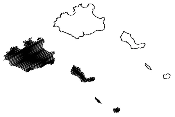
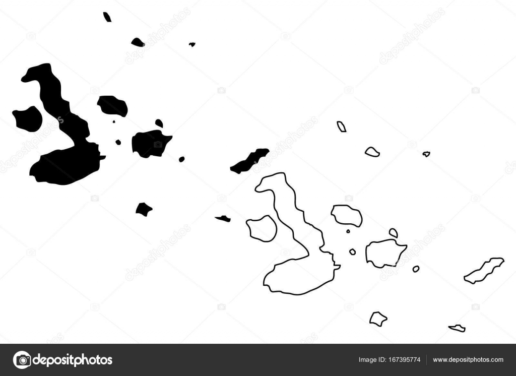
Galapagos islands map vector — Stock Vector

Galapagos islands map vector — Vector

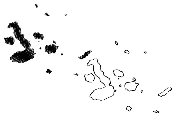
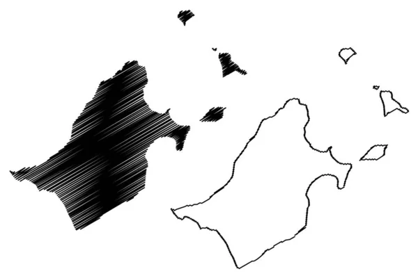
Galapagos islands map vector illustration, scribble sketch Galapagos

 — Vector by Danler

Same Series:

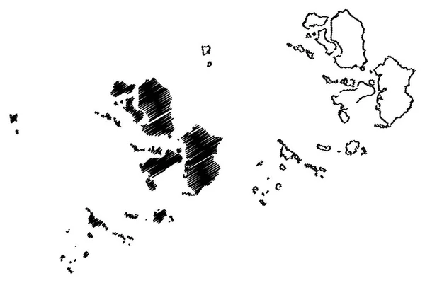
Incheon (South Korea, Republic of Korea, ROK, Special cities of South Korea) map vector illustration, scribble sketch Incheon Metropolitan City (Inchon) map
Incheon map vecto — Stock Vector
Galapagos islands map vector illustration, scribble sketch Galapagos
Galapagos islands map vector — Stock Vector
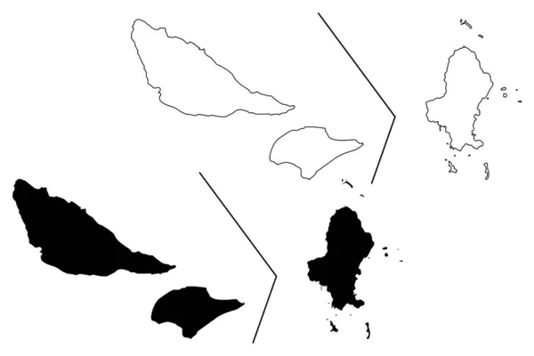
Wallis and Futuna island (France, French Republic, Overseas collectivity) map vector illustration, scribble sketch Territory of the Wallis and Futuna Islands (Alofi) map
Wallis Futuna Island France French Republic Overseas Collectivity Map Vector — Stock Vector
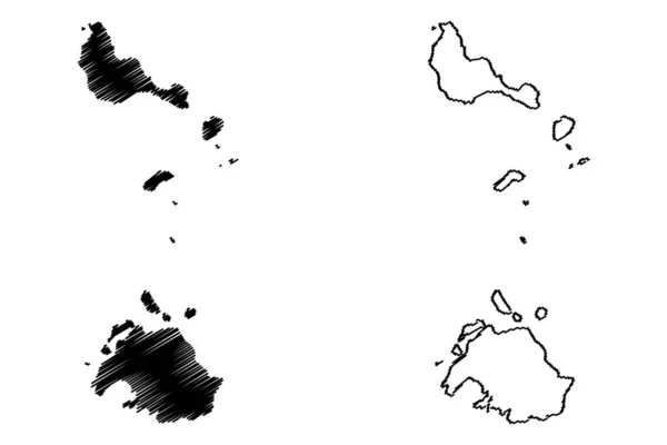
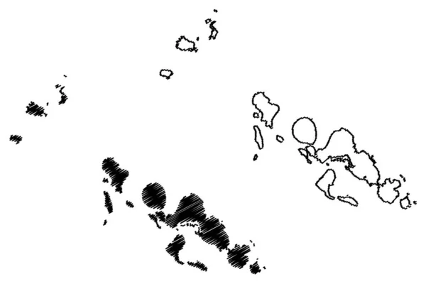
Shefa Province (Republic of Vanuatu, archipelago) map vector illustration, scribble sketch Efate, Shepherd Islands, Epi island map
Shefa Province Republic Vanuatu Archipelago Map Vector Illustration Scribble Sketch — Stock Vector
Rosemary island (Western Australia, Commonwealth of Australia, Indian Ocean, Dampier Archipelago) map vector illustration, scribble sketch Rosemary map
Rosemary Island Western Australia Commonwealth Australia Indian Ocean Dampier Archipelago — Stock Vector
Western Province (Provinces of Solomon Islands, Solomon Islands, island) map vector illustration, scribble sketch New Georgia, Vella Lavella, Kolombangara, Vangunu, Rendova and Shortland Island map
Western Province Provinces Solomon Islands Solomon Islands Island Map Vector — Stock Vector
Franz Josef Land (archipelago of Russia, Franz Joseph Land or Francis Joseph's Land) map vector illustration, scribble sketch Prince George Land, Wilczek Land, Graham Bell Island, Alexandra Land map
Franz Josef Land Archipelago Russia Franz Joseph Land Francis Joseph — Stock Vector
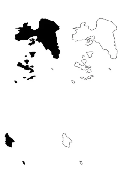
Attica Region (Greece, Hellenic Republic, Hellas) map vector illustration, scribble sketch Attica map
Attica Region (Greece, Hellenic Republic, Hellas) map vector illustration, scribble sketch Attica map — Stock Vector
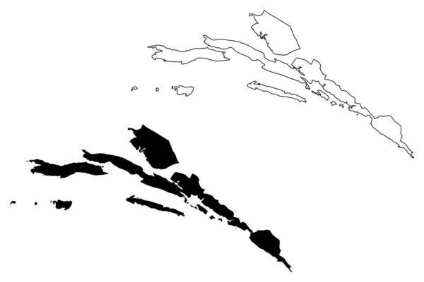
Dubrovnik-Neretva County (Counties of Croatia, Republic of Croatia) map vector illustration, scribble sketch Dubrovnik Neretva (Korcula, Lastovo, Mljet, Sipan, Lopud and Kolocep island) map
Dubrovnik-Neretva County (Counties of Croatia, Republic of Croatia) map vector illustration, scribble sketch Dubrovnik Neretva (Korcula, Lastovo, Mljet, Sipan, Lopud and Kolocep island) map — Stock Vector
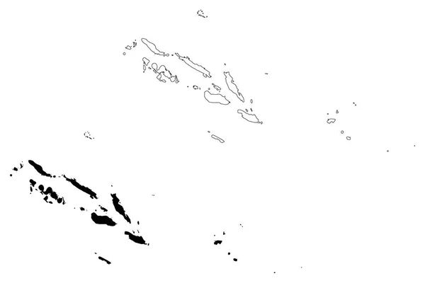
Solomon Islands map vector illustration, scribble sketch Solomon Islands
Solomon Islands map vector — Stock Vector
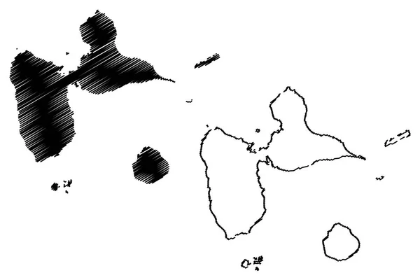
Guadeloupe map vector illustration, scribble sketch Guadeloupe Islands
Guadeloupe map vector — Stock Vector
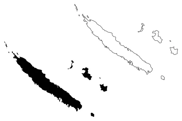
New Caledonia map vector illustration, scribble sketch New Caledonia Island
New Caledonia map vector — Stock Vector
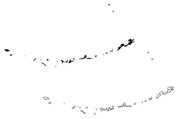
Aleutians West Census Area, Alaska (Boroughs and census areas in Alaska, United States of America,USA, U.S., US) map vector illustration, scribble sketch Aleutian, Attu, Unalaska, Pribilof Islands map
Aleutians West Census Area, Alaska (Boroughs and census areas in Alaska, United States of America,USA, U.S., US) map vector illustration, scribble sketch Aleutian, Attu, Unalaska, Pribilof Islands map — Stock Vector
Tinian Municipality, Commonwealth of the Northern Mariana Islands (United States of America, USA, Mariana Archipelago) map vector illustration, scribble sketch Tinian and Aguigan island map
Tinian Municipality Commonwealth Northern Mariana Islands United States America Usa — Stock Vector
Sao Vicente municipality (Republic of Cabo Verde, concelhos, Cape Verde, island, archipelago) map vector illustration, scribble sketch Sao Vicente, Santa Luzia, Ilheu Raso and Branco map
Sao Vicente Municipality Republic Cabo Verde Concelhos Cape Verde Island — Stock Vector
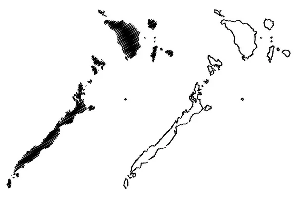
Mimaropa Region (Regions and provinces of the Philippines, Republic of the Philippines) map vector illustration, scribble sketch Southern Tagalog Mainland map
Mimaropa Region Regions Provinces Philippines Republic Philippines Map Vector Illustration — Stock Vector

Similar Stock Videos:

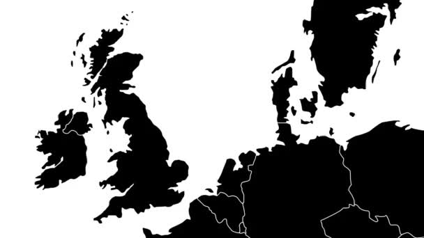
European Union map animated to illustrate the Brexit - United Kingdom is excluded with an evaporating steam effect
European Union map animated to illustrate the Brexit - United Kingdom is excluded with an evaporating steam effect — Stock Video
Brexit - animated map showing the European Union map erasing the United Kingdom after the 2016's June's referendum.
Brexit - animated map showing the European Union map erasing the United Kingdom after the 2016's June's referendum. — Stock Video
Brexit - geopolitical animated map showing the United Kingdom leaving the European Union after the 2016's referendum.
Brexit - geopolitical animated map showing the United Kingdom leaving the European Union after the 2016's referendum. — Stock Video
Line animated map showing the state of Thailand. 2d map of Thailand. 4k
Line animated map showing the state of Thailand. 2d map of Thailand. — Stock Video
Brexit, the UK's EU referendum - 24 of june 2016 - United Kingdom is erased from the EU's map in a smoky effect - black on white background.
Brexit, the UK's EU referendum - 24 of june 2016 - United Kingdom is erased from the EU's map in a smoky effect - black on white background — Stock Video
South Korea animated map in blue on a white background. Motion design 4k
South Korea animated map in blue on a white background. Motion design — Stock Video
Line animated map showing the state of West Virginia from the united state of American. 2d map of West Virginia. 4k Motion graphics.
Line animated map showing the state of West Virginia from the united state of American. 2d map of West Virginia. — Stock Video
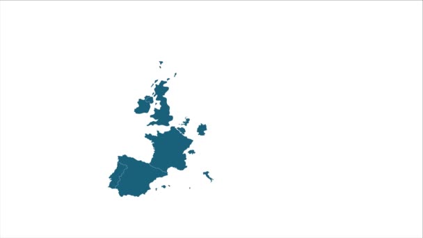
Animated cartography with bokeh in background showing the United Kingdom being erased from the European Union map
Animated cartography with bokeh in background showing the United Kingdom — Stock Video
Denmark animated map with alpha channel. Motion design 4k
Denmark animated map with alpha channel. — Stock Video
Line animated map showing the state of Turkey from the united state of america. 2d map of Turkey. 4k
Line animated map showing the state of Turkey from the united state of america. 2d map of Turkey. — Stock Video
Vintage map showing UK, United Kingdom, Great Britain in England.
Vintage map showing UK, United Kingdom — Stock Video
4k animated Germany map intro background with new administrative regions appearing. Germany Map Showing Up Intro With New Regions.
Germany Map Showing Up Intro With New Regions. 4k animated Germany map intro background with new administrative regions — Stock Video
Quindio Colombia map outline animation
Quindio Colombia Map Outline Animation — Stock Video
Johor Malaysia map outline animation
Johor Malaysia Map Outline Animation — Stock Video
Black inks drop on wet paper
Black inks drop on wet paper — Stock Video
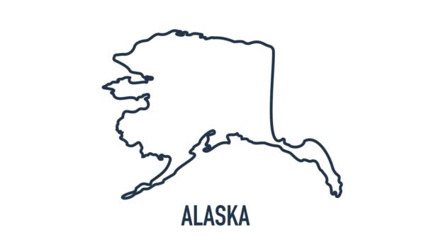
Line animated map showing the state of Alaska from the united state of america. 2d map of Alaska. 4k
Line animated map showing the state of Alaska from the united state of america. 2d map of Alaska. — Stock Video
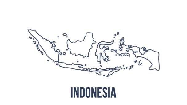
Line Indonesia Animated Map With Alpha Channel. Motion graphics. High quality 4k footage
Line Indonesia Animated Map With Alpha Channel. Motion graphics. — Stock Video
Line map the national flag of Germany in stop motion effect. Germany flag brush strokes art background. High quality 4k footage
Line map the national flag of Germany in stop motion effect. Germany flag brush strokes art background. — Stock Video

Usage Information

You can use this royalty-free vector image "Galapagos islands map vector" for personal and commercial purposes according to the Standard or Extended License. The Standard License covers most use cases, including advertising, UI designs, and product packaging, and allows up to 500,000 print copies. The Extended License permits all use cases under the Standard License with unlimited print rights and allows you to use the downloaded vector files for merchandise, product resale, or free distribution.

This stock vector image is scalable to any size. You can buy and download it in high resolution up to 7087x4724. Upload Date: Sep 25, 2017