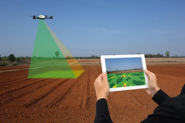
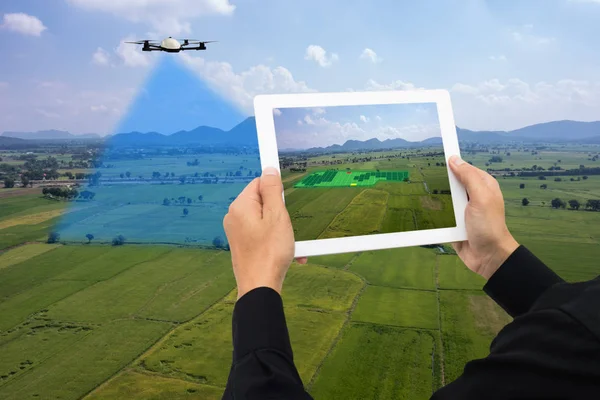
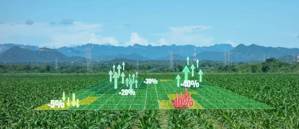
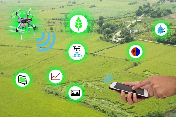
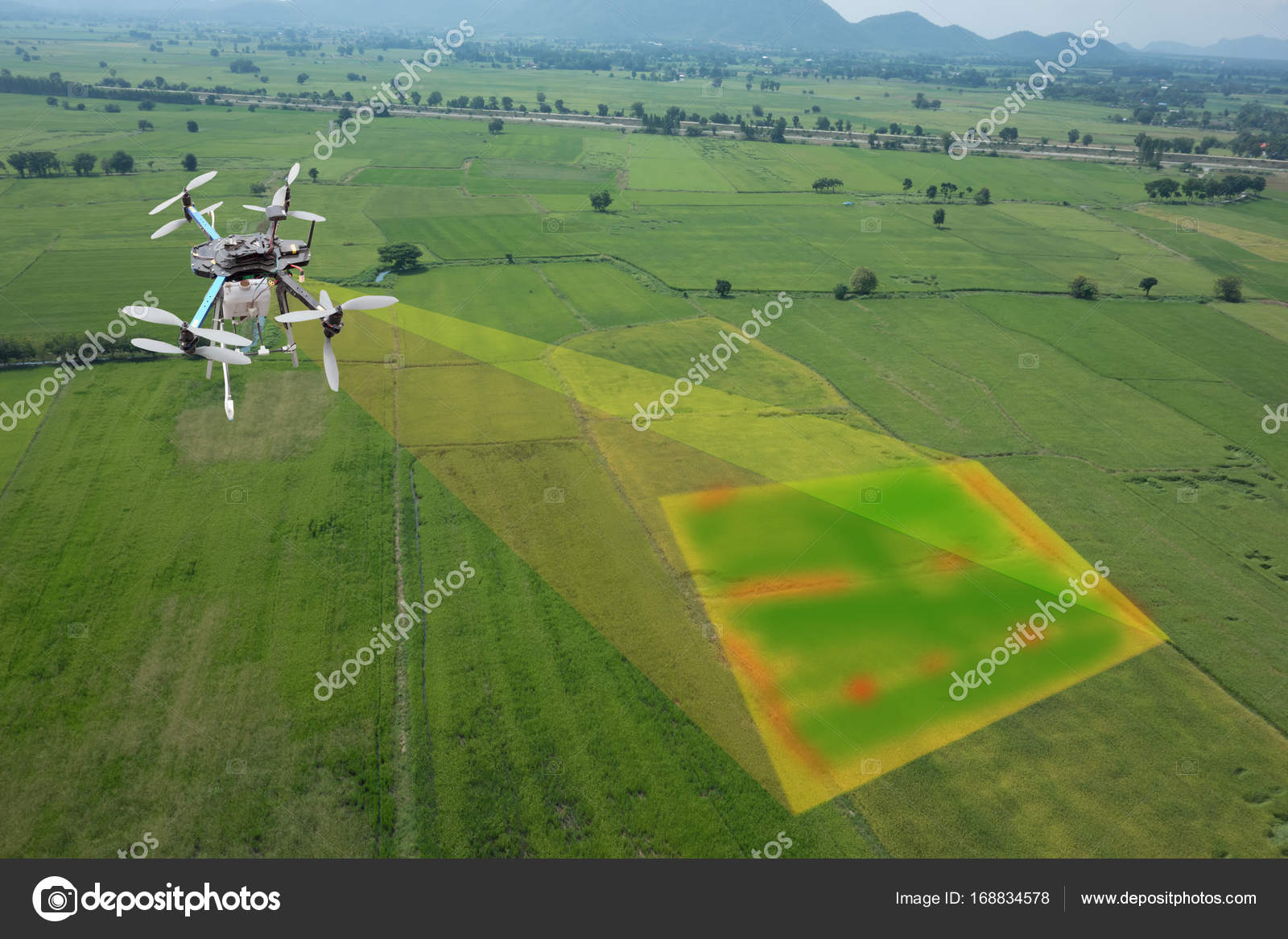
Drone for agriculture, drone use for various fields like research analysis, safety,rescue, terrain scanning technology, monitoring soil hydration ,yield problem and send data to smart farmer on tablet — Stock Photo, Image

Drone for agriculture, drone use for various fields like research analysis, safety,rescue, terrain scanning technology, monitoring soil hydration ,yield problem and send data to smart farmer on tablet — Photo

Drone for agriculture, drone use for various fields like research analysis, safety,rescue, terrain scanning technology, monitoring soil hydration ,yield problem and send data to smart farmer on tablet

 — Photo by ekkasit919

Same Series:

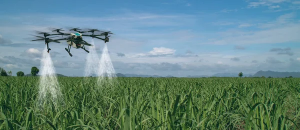
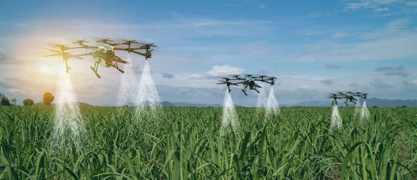
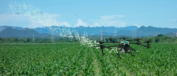
Iot smart agriculture industry 4.0 concept, drone (in precision farm) use for spray a water, fertilizer or chemical to the field, farm for growth a yields,crops, use for control, kill the bug or weed
Iot Smart Agriculture Industry Concept Drone Precision Farm Use Spray — Stock Photo, Image
Drone for agriculture, drone use for various fields like research analysis, safety,rescue, terrain scanning technology, monitoring soil hydration ,yield problem and send data to smart farmer on tablet
Drone Agriculture Drone Use Various Fields Research Analysis Safety Rescue — Stock Photo, Image
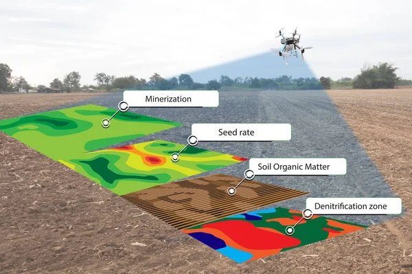
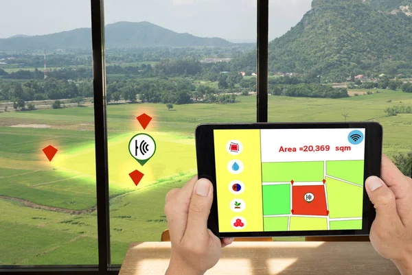
Smart agriculture concept, farmer use infrared in drone with high definition soil mapping while planting,conduct deep soil scan during a tillage pass include organic, ec, om, Nitrogen,seed rate
Smart agriculture concept, farmer use infrared in drone with hig — Stock Photo, Image
Drone for agriculture, drone use for various fields like research analysis, safety,rescue, terrain scanning technology, monitoring soil hydration ,yield problem and send data to smart farmer on tablet
Drone Agriculture Drone Use Various Fields Research Analysis Safety Rescue — Stock Photo, Image
Drone for agriculture, drone use for various fields like research analysis, safety,rescue, terrain scanning technology, monitoring soil hydration ,yield problem and send data to smart farmer on tablet
Drone Agriculture Drone Use Various Fields Research Analysis Safety Rescue — Stock Photo, Image
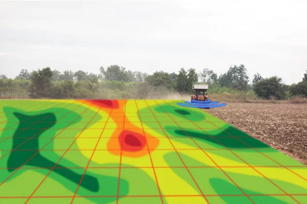
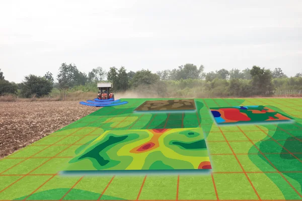
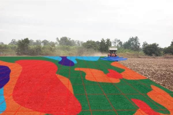
Smart agriculture concept, farmer use infrared in tractor with high definition soil mapping while planting,conduct deep soil scan during a tillage pass include organic, ec, om, Nitrogen,seed rate
Smart agriculture concept, farmer use infrared in tractor with h — Stock Photo, Image
Iot smart agriculture industry 4.0 concept, drone (in precision farm) use for spray a water, fertilizer or chemical to the field, farm for growth a yields,crops, use for control, kill the bug or weed
Iot Smart Agriculture Industry Concept Drone Precision Farm Use Spray — Stock Photo, Image
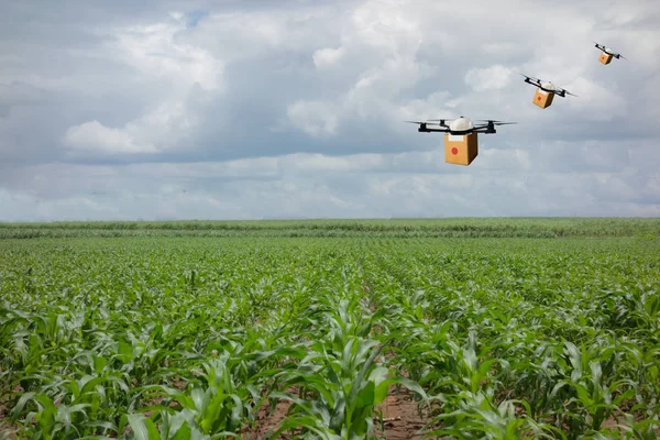
Drone flying transportation in agriculture concept, smart farmer use a drone(artificial intelligence technology delivery to send a tool kit, product, fruit, vegetable in the farm, to another place
Drone flying transportation in agriculture concept, smart farmer — Stock Photo, Image
Augmented mixed virtual reality use for various fields like research analysis, safety,rescue, terrain scanning technology, monitoring soil hydration ,yield problem and send data to smart farmer
Augmented Mixed Virtual Reality Use Various Fields Research Analysis Safety — Stock Photo, Image
Smart agriculture concept, farmer use infrared in tractor with high definition soil mapping while planting,conduct deep soil scan during a tillage pass include organic, ec, om, Nitrogen,seed rate
Smart agriculture concept, farmer use infrared in tractor with h — Stock Photo, Image
Internet of things(agriculture concept).Icon of smart farming,the man hold the taplet with smart farm concept on sugarcane field background
Internet of things(agriculture concept).Icon of smart farming,the man hold the tablet with smart farm concept on sugarcane field background — Stock Photo, Image
Smart agriculture concept, farmer use infrared in tractor with high definition soil mapping while planting,conduct deep soil scan during a tillage pass include organic, ec, om, Nitrogen,seed rate
Smart agriculture concept, farmer use infrared in tractor with h — Stock Photo, Image
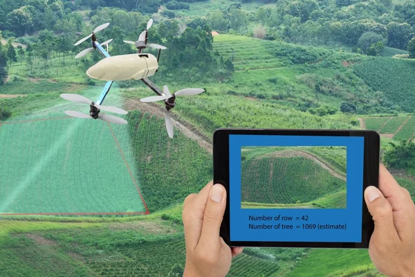
Smart farming concept, drone use a technology in agriculture with artificial intelligence to measure the amount and row of tree, and send the data back to farmer in cloud system
Smart farming concept, drone use a technology in agriculture wit — Stock Photo, Image
Internet of things(agriculture concept).Icon of smart farming,the man hold the taplet with smart farm concept on sugarcane field background
Internet of things(agriculture concept).Icon of smart farming,the man hold the tablet with smart farm concept on sugarcane field background — Stock Photo, Image
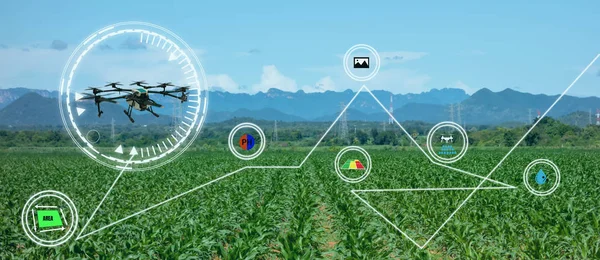
Iot drone smart farming, agriculture in industry 4.0 technology ,artificial intelligence ,machine learning concept. it help to improve, categorized, specified goal, solve problem, keep goal, predict
Iot Drone Smart Farming Agriculture Industry Technology Artificial Intelligence Machine — Stock Photo, Image
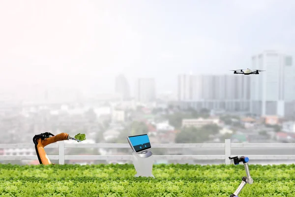
Smart farming concept, robot in agriculture field work in the urban or vertical farm and check,management, monitor keep data analysis in each day in the agriculture farm
Smart farming concept, robot in agriculture field work in the ur — Stock Photo, Image

Similar Stock Videos:
Two Planes are taken off in the field
Planes — Stock Video
Aerial panorama wind turbine towers in wide green fields against distant village and hills in highland
Aerial Panorama Wind Turbine Towers Wide Green Fields Distant Village — Stock Video
Flying above the car driving offroad through rural countryside
Car driving offroad — Stock Video
Flying above the car driving offroad through rural countryside
Aerial view of car driving offroad through rural countryside — Stock Video
Slope of the mountain and working mountain lift. The camera moves along the mountainside and rises to a height. Beautiful scenery of the mountains and the village in the lowlands of the mountains.
Slope of the mountain and working mountain lift. — Stock Video
Upper view pictorial green rural landscape with wind generator towers on ground road against distant hills
Upper View Pictorial Green Rural Landscape Wind Generator Towers Ground — Stock Video
Aerial view light wind moves slowly turbine blades on towers in green tropical valley against clear sky
Aerial View Light Wind Moves Slowly Turbine Blades Towers Green — Stock Video
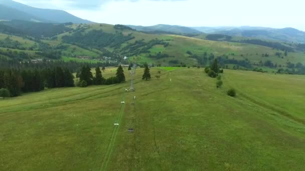
Aerial survey of a mountain lift on the mountainside. Slope of the mountain and working mountain lift. The camera moves along the mountainside and rises to a height.
Aerial survey of a mountain lift on the mountainside. — Stock Video
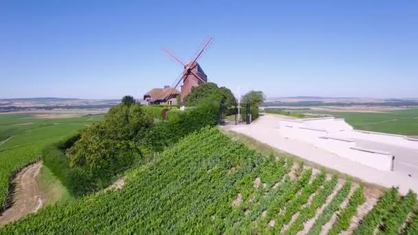
France, Champagne, regional park of Montagne de Reims, Aerial view of windmill of Verzenay, 4K, UHD movie (3840X2160)
France, Champagne, Aerial view of windmill of Verzenay, 4K, UHD movie (3840X2160) — Stock Video
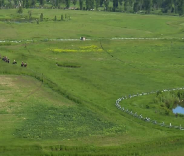
Aerial shot of cowboys in Green Valley
Cowboys in Green Valley — Stock Video
Video of aerial shot of cowboys in green valley
Aerial shot of cowboys in green valley — Stock Video
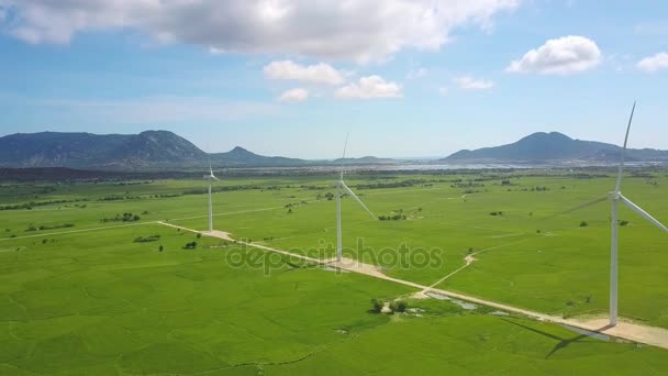
Flycam moves around electrical wind power stations in meadow valley against hills lake and blue sky with white clouds
Flycam Moves Electrical Wind Power Stations Meadow Valley Hills Lake — Stock Video
Aerial shot of cowboys in Green Valley
Aerial shot of cowboys in Green Valley — Stock Video
View of the rolling hills of Tuscany, Italy
View of the rolling hills of Tuscany, Italy — Stock Video
Aerial drone view of volcano and beautiful fields landscape during sunny summer day in Bali, Indonesia
Aerial Drone View Volcano Beautiful Fields Landscape Sunny Summer Day — Stock Video
Tractor Spraying a Controversial Glyphosate Herbicide on Agricultural Land
Tractor Spraying Controversial Glyphosate Herbicide Agricultural Land — Stock Video
Prepared haystacks lay on a big field during a season.
Harvested hay is on a field, top view. — Stock Video
Mountain valley with river, farmland, rice fields. Aerial view of Mountains with green tropical rainforest, trees, jungle with blue sky. Philippines, Luzon.
Mountain valley with farmlands in the Philippines — Stock Video

Usage Information

You can use this royalty-free photo "Drone for agriculture, drone use for various fields like research analysis, safety,rescue, terrain scanning technology, monitoring soil hydration ,yield problem and send data to smart farmer on tablet" for personal and commercial purposes according to the Standard or Extended License. The Standard License covers most use cases, including advertising, UI designs, and product packaging, and allows up to 500,000 print copies. The Extended License permits all use cases under the Standard License with unlimited print rights and allows you to use the downloaded stock images for merchandise, product resale, or free distribution.

You can buy this stock photo and download it in high resolution up to 5472x3648. Upload Date: Oct 6, 2017