Scenic Route Aerial View — Stock Photo, Image

Scenic Route Aerial View — Photo

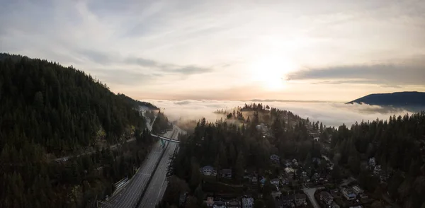
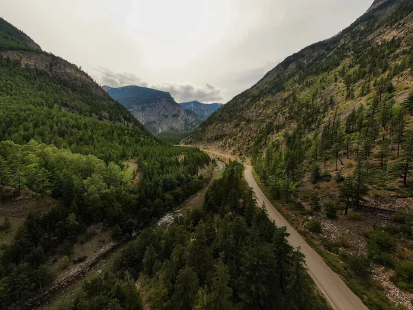
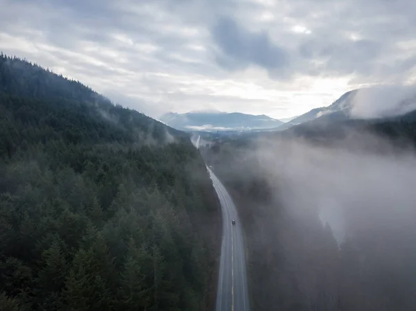
Aerial panoramic drone view of a scenic highway by the beautiful Canadian Landscape covered in clouds and fog. Taken in Vancouver Island, British Columbia, Canada.

 — Photo by edb3_16

Same Series:

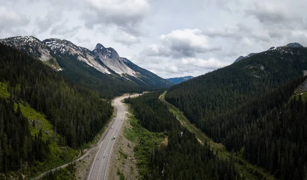
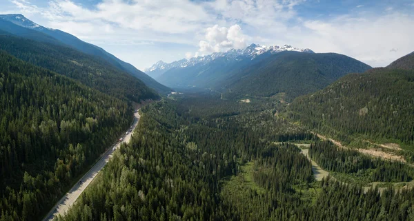
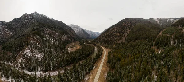
Aerial view of the scenic route passing in the valley between the mountains. Taken in Coquihalla Hwy Northeast from Hope, British Columbia, Canada.
Aerial View Scenic Route Passing Valley Mountains Taken Coquihalla Hwy — Stock Photo, Image
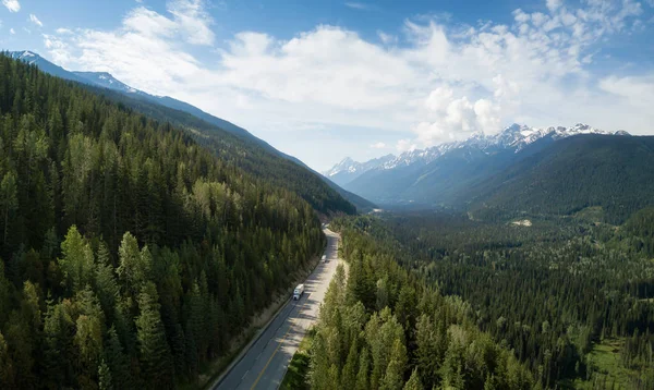
Aerial view of Trans-Canada Highway in the Canadian Mountain Landscape. Located between Golden and Revelstoke, BC, Canada.
Aerial View Trans Canada Highway Canadian Mountain Landscape Located Golden — Stock Photo, Image
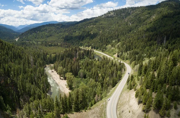
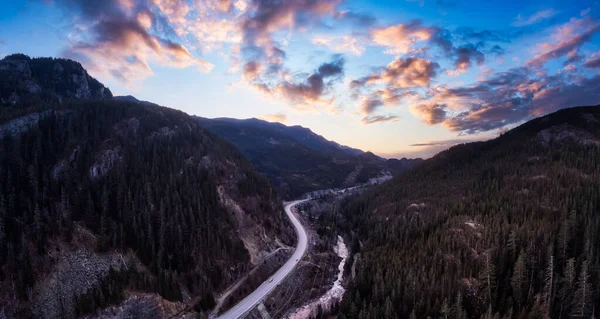
Aerial panoramic view of a scenic road going through the valley surrounded by the Beautiful Canadian Mountains. Located between Hope and Princeton, BC, Canada.
Aerial Panoramic View Scenic Road Going Valley Surrounded Beautiful Canadian — Stock Photo, Image
Aerial view of fog covering the Horseshoe Bay in Howe Sound. Taken in West Vancouver, British Columbia, Canada.
Aerial View Fog Covering Horseshoe Bay Howe Sound Taken West — Stock Photo, Image
Aerial view of Trans-Canada Highway in the Canadian Mountain Landscape. Located between Golden and Revelstoke, BC, Canada.
Aerial View Trans Canada Highway Canadian Mountain Landscape Located Golden — Stock Photo, Image
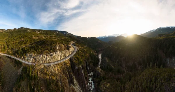
Aerial Panoramic View of the Famous Scenic Drive, Sea to Sky Highway, during a colorful sunrise. Located between Squamish and Whistler, North of Vancouver, British Columbia, Canada.
Aerial Panoramic View of the Famous Scenic Drive, Sea to Sky Highway — Stock Photo, Image
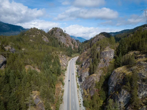
Aerial drone view of Sea to Sky Highway during a bright summer day. Taken between Squamish and Whistler, North of Vancouver, British Columbia, Canada.
Aerial drone view of Sea to Sky hwy — Stock Photo, Image
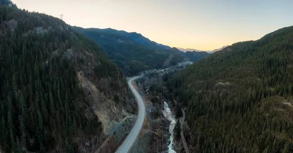
Aerial Panoramic View of the Famous Scenic Drive, Sea to Sky Highway, during a sunny sunset. Located between Squamish and Whistler, North of Vancouver, British Columbia, Canada.
Aerial Panoramic View of the Famous Scenic Drive, Sea to Sky Highway — Stock Photo, Image
Aerial Panoramic View of a Scenic Dirt Road towards Gold Bridge in the Valley surrounded by Canadian Mountain Landscape. Taken near Lillooet, British Columbia, Canada.
Aerial Panoramic View Scenic Dirt Road Gold Bridge Valley Surrounded — Stock Photo, Image
Aerial Panoramic View of a Scenic Dirt Road towards Gold Bridge in the Valley surrounded by Canadian Mountain Landscape. Taken near Lillooet, British Columbia, Canada.
Aerial Panoramic View Scenic Dirt Road Gold Bridge Valley Surrounded — Stock Photo, Image
Aerial Panoramic View of the Famous Scenic Drive, Sea to Sky Highway, during a colorful sunrise. Located between Squamish and Whistler, North of Vancouver, British Columbia, Canada.
Aerial Panoramic View Famous Scenic Drive Sea Sky Highway Colorful — Stock Photo, Image
Aerial Panoramic View of the Famous Scenic Drive, Sea to Sky Highway, during a colorful sunrise. Located between Squamish and Whistler, North of Vancouver, British Columbia, Canada.
Aerial Panoramic View Famous Scenic Drive Sea Sky Highway Colorful — Stock Photo, Image
Aerial drone view of a scenic highway by the beautiful Canadian Landscape covered in clouds and fog. Taken in Vancouver Island, British Columbia, Canada.
Aerial Drone view of Highway — Stock Photo, Image
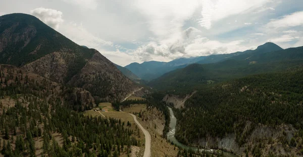
Aerial Panoramic View of a Scenic Road in the Canadian Mountain Landscape during a cloudy springtime. Taken between Pemberton and Lillooet, BC, Canada.
Aerial Panoramic View of a Scenic Road in the Canadian Mountain — Stock Photo, Image
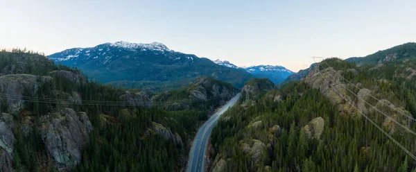
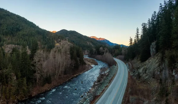
Aerial drone view of Sea to Sky Highway during a bright winter sunset. Taken between Squamish and Whistler, North of Vancouver, British Columbia, Canada.
Aerial drone view of Sea to Sky Highway during a bright winter sunset — Stock Photo, Image
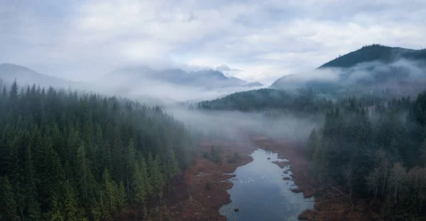
Beautiful and vibrant aerial drone panoramic view of a swampy lake. Taken in Vancouver Island, British Columbia, Canada, during a foggy sunrise.
Swampy Lake with Swans — Stock Photo, Image

Usage Information

You can use this royalty-free photo "Scenic Route Aerial View" for personal and commercial purposes according to the Standard or Extended License. The Standard License covers most use cases, including advertising, UI designs, and product packaging, and allows up to 500,000 print copies. The Extended License permits all use cases under the Standard License with unlimited print rights and allows you to use the downloaded stock images for merchandise, product resale, or free distribution.

You can buy this stock photo and download it in high resolution up to 4935x2963. Upload Date: Jan 17, 2018