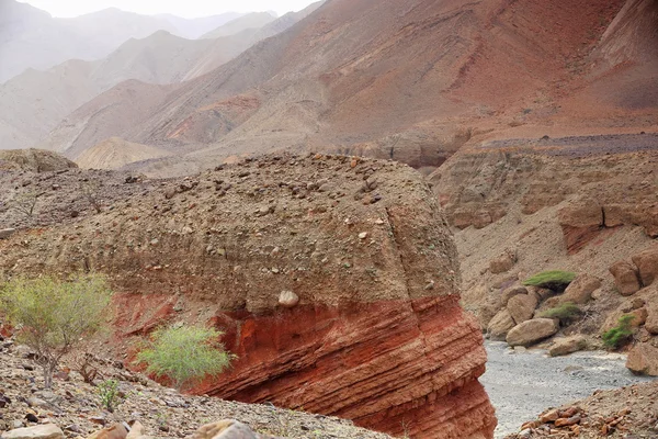
Wards View Central Altyn Tagh Mountains Dry River Bed Nnal — Stock Photo, Image

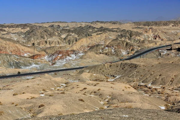
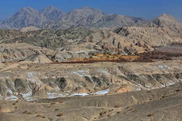
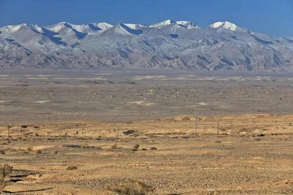
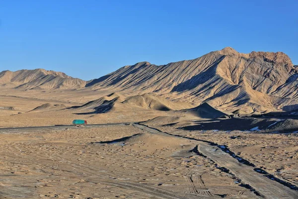
SE.wards view of Central Altyn tagh-mountains across a dry river bed from Nnal.Highway G315 crossing the North Xorkol basin-dividing mountain range from the Main Xorkol basin to the S. Xinjiang-China. — Photo

SE.wards view of Central Altyn tagh-mountains across a dry river bed from Nnal.Highway G315 crossing the North Xorkol basin-dividing mountain range from the Main Xorkol basin to the S. Xinjiang-China.

 — Photo by rweisswald

Same Series:

Nnal.Highway G315 crossing the Altyn-Tagh ranges of the Kunlun mountains through a 3600 ms.high mountain pass going from the Taklamakan desert into the Qaidam basin. Xingjiang-Qinghai provinces-China.
Nnal Highway G315 Crossing Altyn Tagh Ranges Kunlun Mountains 3600 — Stock Photo, Image
View from Nnal.Highway G315 crossing the Altyn-Tagh ranges of the Kunlun mountains-3600 ms.high mountain pass going from the Taklamakan desert into the Qaidam basin. Xingjiang-Qinghai provinces-China.
View Nnal Highway G315 Crossing Altyn Tagh Ranges Kunlun Mountains — Stock Photo, Image
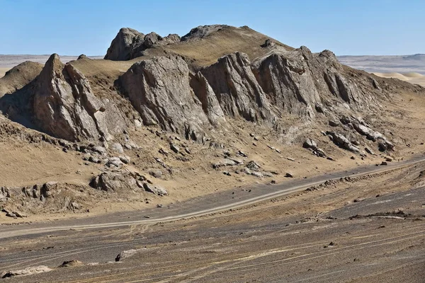
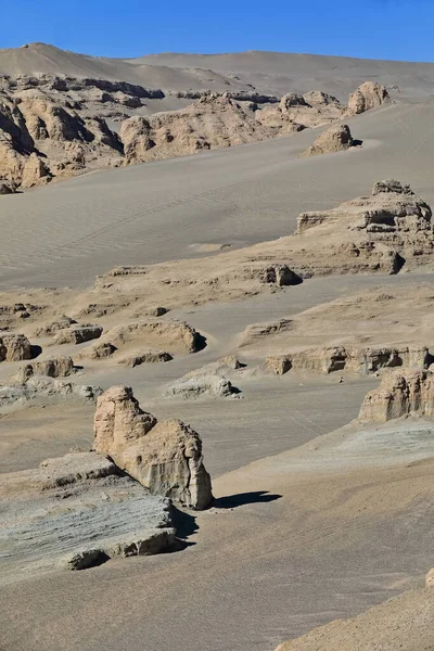
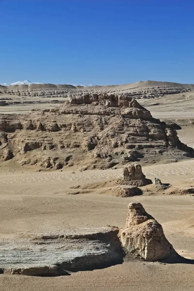
NW-SE alignment of yardangs-elongated streamlined landforms carved in tectonically folded sedimentary rocks by wind erosion near Nnal.Highway G315 crossing Qaidam basin desert. Qinghai province-China.
Alignment Yardangs Elongated Streamlined Landforms Carved Tectonically Folded Sedimentary Rocks — Stock Photo, Image
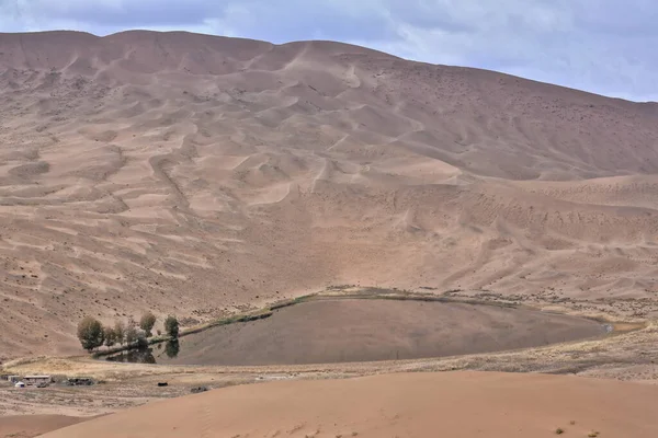
Lake Tamaying among moving and stationary sand dunes of the Badain Jaran Desert-some of them reaching up to 500 meters-footprints on the desert floor-overcast sky. Alxa Plateau-Inner Mongolia-China.
Lake Tamaying Moving Stationary Sand Dunes Badain Jaran Desert Some — Stock Photo, Image
NW-SE alignment of yardangs-elongated streamlined landforms carved in tectonically folded sedimentary rocks by wind erosion near Nnal.Highway G315 crossing Qaidam basin desert. Qinghai province-China.
Alignment Yardangs Elongated Streamlined Landforms Carved Tectonically Folded Sedimentary Rocks — Stock Photo, Image
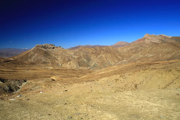
Mountains around the 4950 ms.high Yulung La-pass on route from Shigatse to Sakya on the South Friendship Highway. Lhatse county-Shigatse prefecture-Tibet.
Landscape around Yulung La-mountain pass. Lhatse county-Tibet. 1792 — Stock Photo, Image
Early morning-SSW.wards view from Nnal.Highway G315 to snowcapped Eastern Qimantag range-Kunlun mts.over the derricks of Youshashan oilfield near Huatugou town. Haixi prefecture-Qinghai prov.-China.
Early Morning Ssw Wards View Nnal Highway G315 Snowcapped Eastern — Stock Photo, Image
NW-SE alignment of yardangs-elongated streamlined landforms carved in tectonically folded sedimentary rocks by wind erosion near Nnal.Highway G315 crossing Qaidam basin desert. Qinghai province-China.
Alignment Yardangs Elongated Streamlined Landforms Carved Tectonically Folded Sedimentary Rocks — Stock Photo, Image
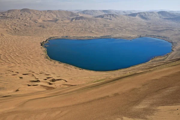
Full view Nuoertu lake -biggest in the Badain Jaran desert with 1'45 km2- and eastern megadunes seen from the 420 ms.high of its western megadune under hazy-scant cloudy blue sky. Inner Mongolia-China
Full View Nuoertu Lake Biggest Badain Jaran Desert Km2 Eastern — Stock Photo, Image
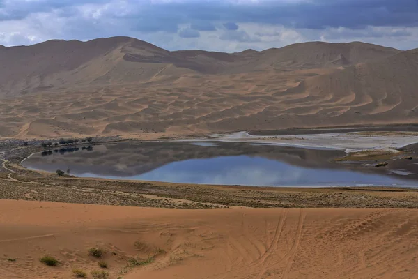
Yindeertu-Yinderitu Lake in Badain Jaran Desert-sand dunes up to c.500 ms-dark water reflecting cloudy sky and megadunes-seen from the slope up to Bilutu Feng peak. Alxa Plateau-Inner Mongolia-China.
Yindeertu Yinderitu Lake Badain Jaran Desert Sand Dunes 500 Dark — Stock Photo, Image
Chinese truck on Nnal.Highway G315 crossing the last and lesser chains of the Upper Altyn tagh-mountains while leaving the North Xorkol basin southwards into the Main Xorkol basin. Xinjiang-China.
Chinese Truck Nnal Highway G315 Crossing Last Lesser Chains Upper — Stock Photo, Image
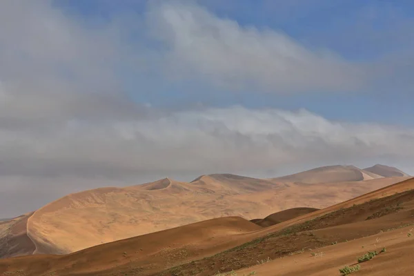
Sand ridges of megadunes overlooking the east shore of Sumu Barun Jaran Lake illuminated by the morning light of an unevenly sparsely cloudy sky. Badain Jaran Desert-Alxa Plateau-Inner Mongolia-China.
Sand Ridges Megadunes Overlooking East Shore Sumu Barun Jaran Lake — Stock Photo, Image
Red cliffs under the evening sun of a dry riverbed indented in the soil of the desert-sparse acacia trees on the bend of a stream on Hamed Ale-Berahile track. Danakil depression-Afar region-Ethiopia.
Red cliffs over dry riverbed. Danakil-Ethiopia. 0366 — Stock Photo, Image
Chinese truck on Nnal.Highway G315 crossing the last and lesser chains of the Upper Altyn tagh-mountains while leaving the North Xorkol basin southwards into the Main Xorkol basin. Xinjiang-China.
Chinese Truck Nnal Highway G315 Crossing Last Lesser Chains Upper — Stock Photo, Image

Usage Information

You can use this royalty-free photo "SE.wards view of Central Altyn tagh-mountains across a dry river bed from Nnal.Highway G315 crossing the North Xorkol basin-dividing mountain range from the Main Xorkol basin to the S. Xinjiang-China." for personal and commercial purposes according to the Standard or Extended License. The Standard License covers most use cases, including advertising, UI designs, and product packaging, and allows up to 500,000 print copies. The Extended License permits all use cases under the Standard License with unlimited print rights and allows you to use the downloaded stock images for merchandise, product resale, or free distribution.

You can buy this stock photo and download it in high resolution up to 5700x3200. Upload Date: Apr 21, 2020