Wards View Nnal Highway G315 Snowcapped Eastern Qimantag Range Kunlun — Stock Photo, Image

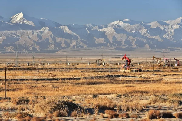
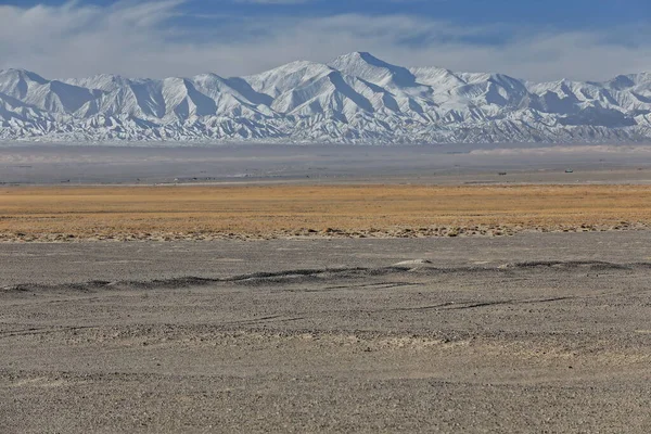
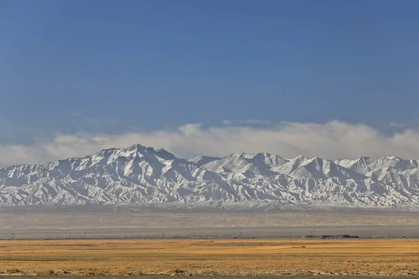
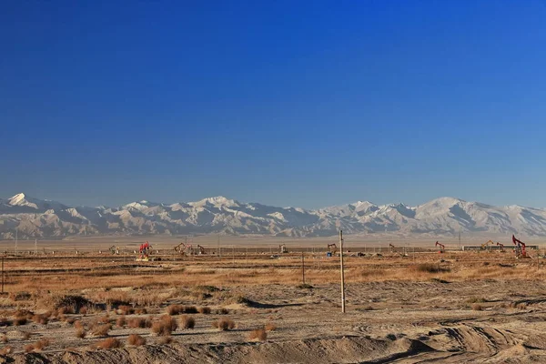
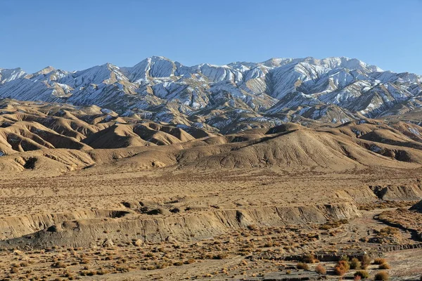
S-SW.wards view from Nnal.Highway G315 to snowcapped Eastern Qimantag range-Kunlun mts.over Gasikule-salt lake near Huatugou oil-drilling town in the early morning. Haixi prefect.-Qinghai prov.-China. — Photo

S-SW.wards view from Nnal.Highway G315 to snowcapped Eastern Qimantag range-Kunlun mts.over Gasikule-salt lake near Huatugou oil-drilling town in the early morning. Haixi prefect.-Qinghai prov.-China.

 — Photo by rweisswald

Same Series:

Early morning-SSW.wards view from Nnal.Highway G315 to snowcapped Eastern Qimantag range-Kunlun mts.over the derricks of Youshashan oilfield near Huatugou town. Haixi prefecture-Qinghai prov.-China.
Early Morning Ssw Wards View Nnal Highway G315 Snowcapped Eastern — Stock Photo, Image
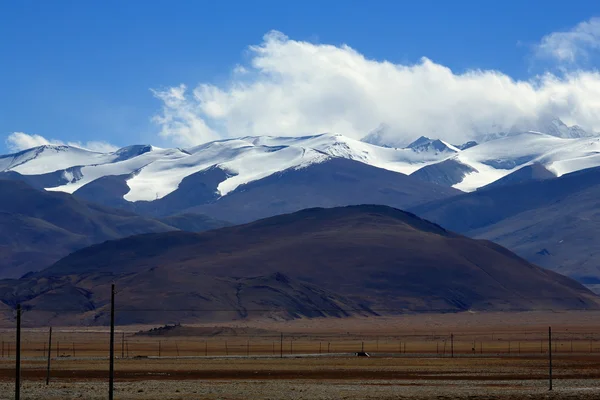
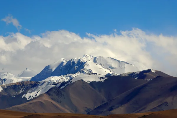
Nangpa La pass at 5716 ms.between Mahalangur and Rolwaling himalayan sections. Peaks L.to R.: Nagpai Gosum 7352 ms.+the pass itself+Jobo Rinjang 6777 ms.+Lunag Ri massif. From Tingri at 4348 ms.-Tibet
Nangpa La-pass between Mahalangur and Rolwaling Himal sections. Himalayas-Tibet. 1940 — Stock Photo, Image
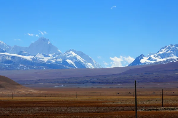
L.to R.: Mounts Lapche Kang II 7250 ms.+L.Kang I 7367 ms.+L.Kang West 7072 ms.+Colangma 6952 ms.+Gyao Kang 6720 ms. From Tong La pass 5120 ms.-Friendship Highway between Tingri and Nyalam towns-Tibet.
Mounts Gyachung Kang-Ngozumpa Kang III-Nogozumpa Kang II. Tibet. 1938 — Stock Photo, Image
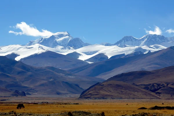
Mahalangur Himal section of the high Himalayas range-mount Cho Oyu at 8201ms.behind the clouds. Seen from the tibetan plateau Tingri-Lawn Mountain town at 4348 ms. Tingri county-Shigatse pref.-Tibet.
Mahalangur himalayan section-Cho Oyu behind the clouds. Tibet. 1942 — Stock Photo, Image
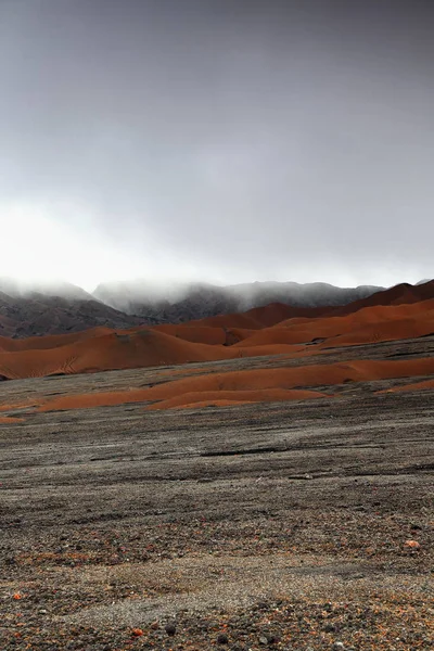
Brown ash mounds inside the 8x12km.wide volcanic caldera with loose black ash grounds and solid lava tracts covered with lichens and small green plants-Marum crater-Ambrym island-Malampa prov.-Vanuatu
Brown ash mounds inside the 12km.-wide caldera. Ambrym island-Vanuatu. 5893 — Stock Photo, Image
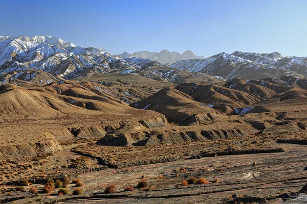
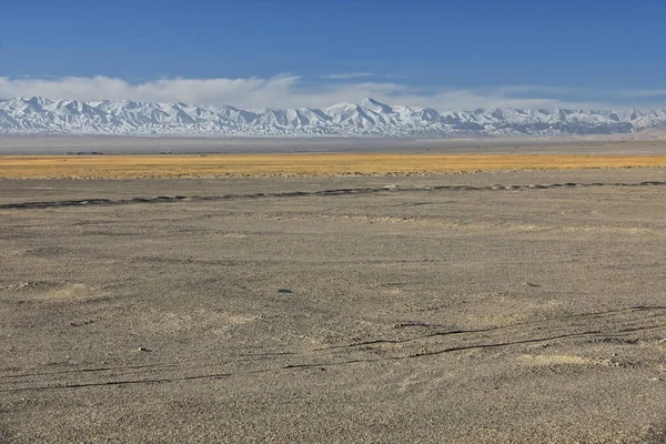
SW.wards view from Nnal.Highway G315 over the desert Qaidam basin to the snowcapped SE.end of the Eastern Qimantag range of the Kunlun mountains in the morning. Haixi prefecture-Qinghai province-China
Wards View Nnal Highway G315 Desert Qaidam Basin Snowcapped End — Stock Photo, Image
SW.wards view from Nnal.Highway G315 over the desert Qaidam basin to the snowcapped SE.end of the Eastern Qimantag range of the Kunlun mountains in the morning. Haixi prefecture-Qinghai province-China
Wards View Nnal Highway G315 Desert Qaidam Basin Snowcapped End — Stock Photo, Image
L.to R. Mounts Gyachung Kang 7952 ms.+Ngozumpa Kang III 7681 ms.+Ngozumpa Kang II 7743 ms.as seen from the tibetan plateau Tingri-Lawn Mountain town at 4348 ms. Tingri county-Shigatse pref.-Tibet.
Mounts Gyachung Kang-Ngozumpa Kang III-Nogozumpa Kang II. Tibet. 1932 — Stock Photo, Image
Early morning-SSW.wards view from Nnal.Highway G315 to snowcapped Eastern Qimantag range-Kunlun mts.over the derricks of Youshashan oilfield near Huatugou town. Haixi prefecture-Qinghai prov.-China.
Early Morning Ssw Wards View Nnal Highway G315 Snowcapped Eastern — Stock Photo, Image
View of Lapche or Labuche Kang massif-summits under clouds: Lapche Kang II 7250 ms.+L.Kang I 7367 ms. From Tong La pass 5120 ms.-Friendship Highway between Tingri and Nyalam towns-Nyalam county-Tibet.
Lapche Kang massif-L.K.II and I behind clouds. Tibet. 1962 — Stock Photo, Image
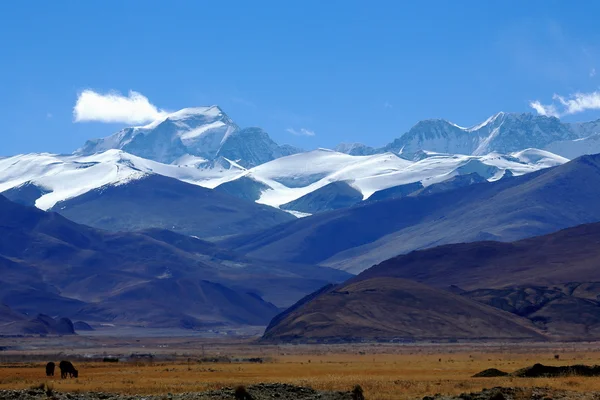
View of the high Himalayas-Mahalangur Himal section. L.toR.: Ngozumpa Kang I 7916 ms.+Cho Oyu 8201 ms.+Phasang Lhamu Chuli or Nagpai Gosum 7352 ms.seen from Tingri-Lawn mountain town at 4348 ms. Tibet
Lapche Kang Himal-L.K.II and behind clouds L.K.I. Tibet. 1974 — Stock Photo, Image
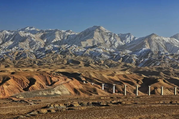
Southwards view from the Nnal.Highway G315 crossing the North Xorkol basin to the snowcovered Central Altyn tagh-mountains dividing the basin from the Main Xorkol basin to the south. Xinjiang-China.
Southwards View Nnal Highway G315 Crossing North Xorkol Basin Snowcovered — Stock Photo, Image
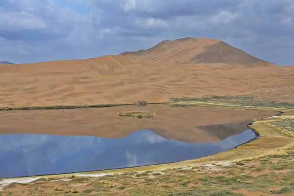
Lake Zhalate among the sand dunes of the Badain Jaran Desert-some reaching up to 500 meters-nomadic yurts on SE shore-clouds in the sky-megadune and sky reflection. Alxa Plateau-Inner Mongolia-China.
Lake Zhalate Sand Dunes Badain Jaran Desert Some Reaching 500 — Stock Photo, Image
Southwards view from the Nnal.Highway G315 crossing the North Xorkol basin to the snowcovered Central Altyn tagh-mountains dividing the basin from the Main Xorkol basin to the south. Xinjiang-China.
Southwards View Nnal Highway G315 Crossing North Xorkol Basin Snowcovered — Stock Photo, Image
SW.wards view from Nnal.Highway G315 over the desert Qaidam basin to the snowcapped SE.end of the Eastern Qimantag range of the Kunlun mountains in the morning. Haixi prefecture-Qinghai province-China
Wards View Nnal Highway G315 Desert Qaidam Basin Snowcapped End — Stock Photo, Image
S.wards view from Nnal.Highway G315 crossing North Xorkol basin to snowcapped Central Altyn tagh-mountains divide from the Main Xorkol basin to the S.-railway track under construction. Xinjiang-China.
Wards View Nnal Highway G315 Crossing North Xorkol Basin Snowcapped — Stock Photo, Image

Usage Information

You can use this royalty-free photo "S-SW.wards view from Nnal.Highway G315 to snowcapped Eastern Qimantag range-Kunlun mts.over Gasikule-salt lake near Huatugou oil-drilling town in the early morning. Haixi prefect.-Qinghai prov.-China." for personal and commercial purposes according to the Standard or Extended License. The Standard License covers most use cases, including advertising, UI designs, and product packaging, and allows up to 500,000 print copies. The Extended License permits all use cases under the Standard License with unlimited print rights and allows you to use the downloaded stock images for merchandise, product resale, or free distribution.

You can buy this stock photo and download it in high resolution up to 5400x3600. Upload Date: Apr 21, 2020