Greenland Political Map — Stock Vector

Greenland Political Map — Vector

Greenland Political Map with capital Nuuk and important cities. Autonomous country within the Kingdom of Denmark. English labeling and scaling. Illustration.

 — Vector by Furian

Same Series:

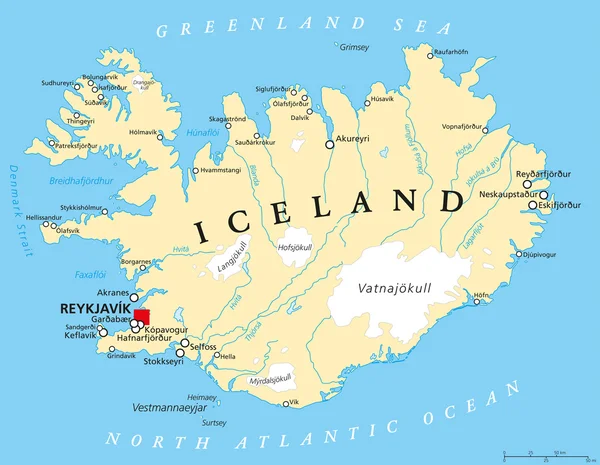
Iceland Political Map with capital Reykjavik, national borders, important cities, rivers, lakes and glaciers. English labeling and scaling. Illustration.
Iceland Political Map — Stock Vector
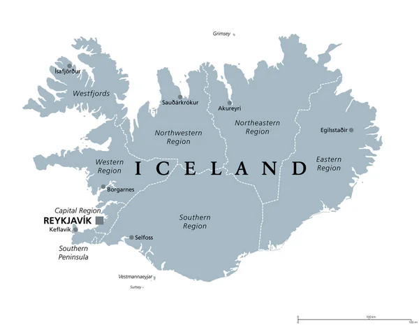
Regions of Iceland, gray political map, with capital Reykjavik. Eight regions and their seats, used for statistical purposes. Nordic island country in Atlantic Ocean. Isolated illustration. Vector.
Regions Iceland Gray Political Map Capital Reykjavik Eight Regions Seats — Stock Vector
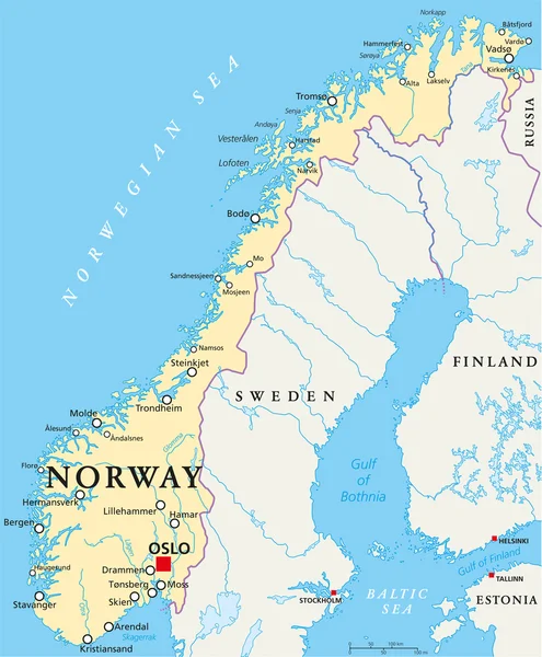
Norway Political Map with capital Oslo, national borders, important cities, rivers and lakes. English labeling and scaling. Illustration.
Norway Political Map — Stock Vector
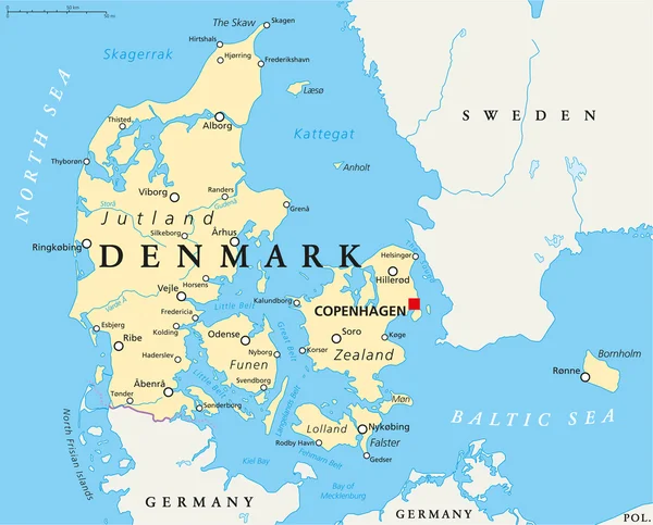
Denmark Political Map with capital Copenhagen, national borders, important cities and rivers. English labeling and scaling. Illustration.
Denmark Political Map — Stock Vector
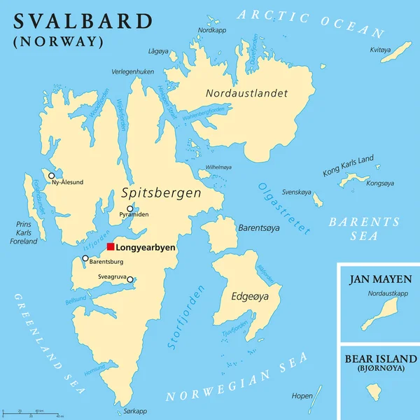
Svalbard Political Map with capital Longyearbyen, a Norwegian archipelago in the Arctic Ocean, formerly known by its Dutch name Spitsbergen. English labeling and scaling. Illustration.
Svalbard Political Map — Stock Vector
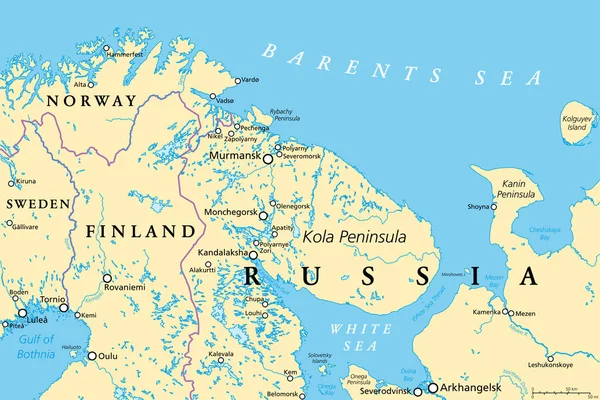
Murmansk Oblast and Kola Peninsula, political map. Federal subject of Russia, part of Lapland region, bordering Norway and Finland. With Murmansk, most important port city of Russia on Arctic Ocean.
Murmansk Oblast Kola Peninsula Political Map Federal Subject Russia Part — Stock Vector
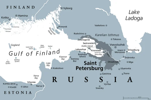
Saint Petersburg area, gray political map. Second-largest city in Russia, formerly known as Petrograd and later Leningrad. Situated on the Neva River, at the head of Gulf of Finland in the Baltic Sea.
Saint Petersburg Area Gray Political Map Second Largest City Russia — Stock Vector
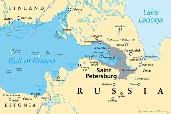
Saint Petersburg area, political map. Second-largest city in Russia, formerly known as Petrograd and later Leningrad. Situated on the Neva River, at the head of the Gulf of Finland on the Baltic Sea.
Saint Petersburg Area Political Map Second Largest City Russia Formerly — Stock Vector
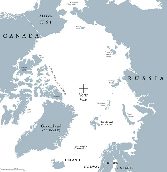
Arctic region political map. Polar region around the North Pole at the northernmost part of Earth. The Arctic Ocean without ice. Gray illustration with English labeling on white background. Vector.
Arctic region political map — Stock Vector
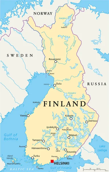
Finland Political Map with capital Helsinki, national borders, important cities, rivers and lakes. English labeling and scaling. Illustration.
Finland Political Map — Stock Vector
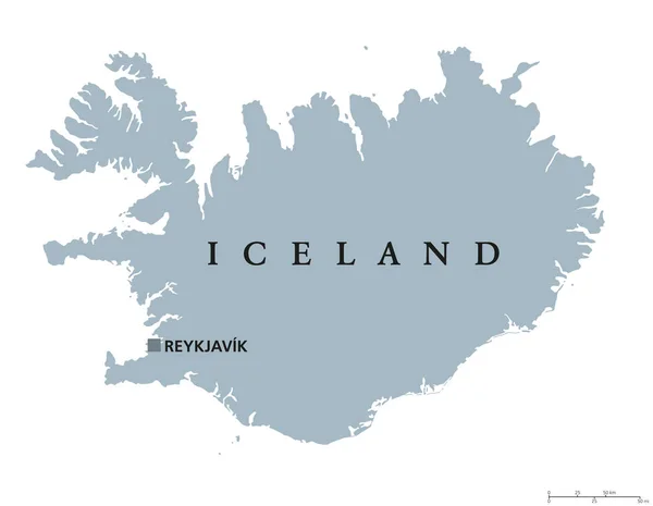
Iceland political map with capital Reykjavik. Republic and Nordic island country in Europe and the North Atlantic Ocean. Gray illustration with English labeling on white background. Vector.
Iceland political map — Stock Vector
Danish island Bornholm and Germanys largest island Ruegen, gray political map. Both islands are located in southern Baltic Sea, a marginal sea of the Atlantic Ocean. Illustration on white background.
Danish Island Bornholm Germanys Largest Island Ruegen Gray Political Map — Stock Vector
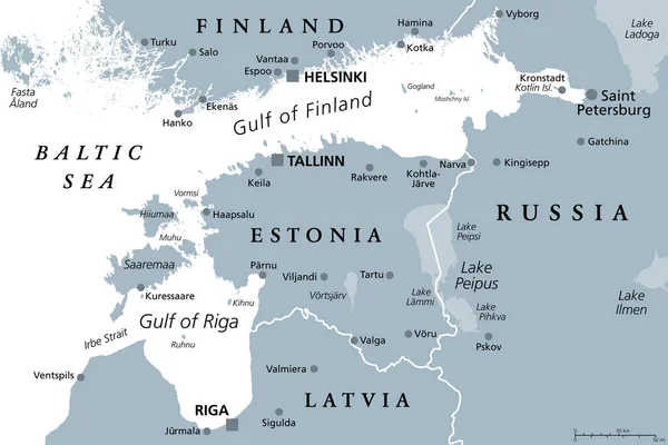
Gulf of Finland and Gulf of Riga region, gray political map. The Nordic countries Finland, Estonia and Latvia with their capitals, and the seaway from the Baltic Sea to Saint Petersburg, Russia.
Gulf Finland Gulf Riga Region Gray Political Map Nordic Countries — Stock Vector
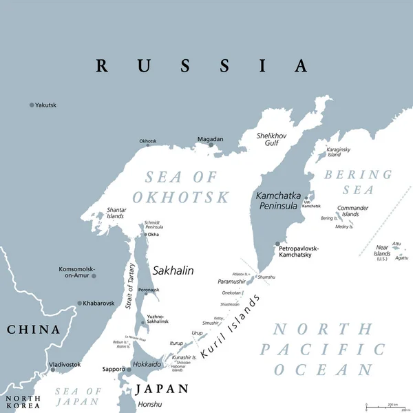
Sea of Okhotsk, gray political map. Marginal sea of the North Pacific Ocean located between the Kamchatka Peninsula, the Kuril Islands, Hokkaido, Sakhalin, and a stretch of the eastern Siberian coast.
Sea Okhotsk Gray Political Map Marginal Sea North Pacific Ocean — Stock Vector
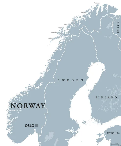
Norway political map with capital Oslo, national borders and neighbors. Kingdom and Scandinavian country in Northern Europe. Gray illustration, English labeling, isolated on white background. Vector.
Norway political map — Stock Vector
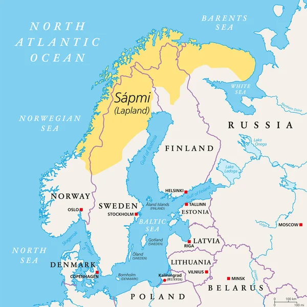
Sapmi, Lapland, political map. A cultural region in Northern and Eastern Europe, including the northern parts of Fennoscandia, stretching over the four countries Norway, Sweden, Finland and Russia.
Sapmi Lapland Political Map Cultural Region Northern Eastern Europe Including — Stock Vector

Similar Stock Videos:
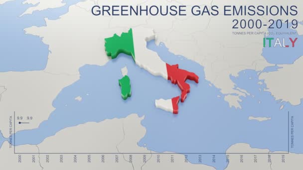
Greenhouse gas emissions in Italy from 2000 to 2019. Values in tonnes per capita (CO2 equivalent). Source data: Eurostat. 3D rendering loop able video with 4K resolution.
Greenhouse Gas Emissions Italy 2000 2019 Values Tonnes Capita Co2 — Stock Video
Animated detailed map of Germany country
Animated detailed map of Germany — Stock Video
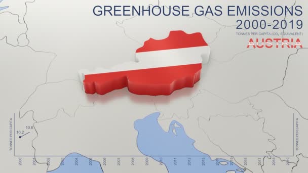
Greenhouse gas emissions in Austria from 2000 to 2019. Values in tonnes per capita (CO2 equivalent). Source data: Eurostat. 3D rendering loop able video with 4K resolution.
Greenhouse Gas Emissions Austria 2000 2019 Values Tonnes Capita Co2 — Stock Video
Uzbekistan map highlighted in Uzbekistan flag colors and pin of country capital Tashkent, map with neighboring Asian countries.
Uzbekistan Map Highlighted Uzbekistan Flag Colors Pin Country Capital Tashkent — Stock Video
India map highlighted in India flag colors and pin of country capital New Delhi, map with neighboring Asian countries.
India Map Highlighted India Flag Colors Pin Country Capital New — Stock Video
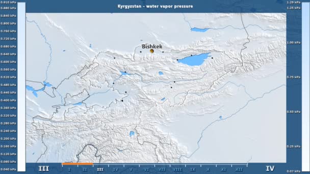
Water vapor pressure by month in the Kyrgyzstan area with animated legend - English labels: country and capital names, map description. Stereographic projection
Water Vapor Pressure Month Kyrgyzstan Area Animated Legend English Labels — Stock Video
Animation of the map of East Asia region
Animation of the map of East Asia — Stock Video
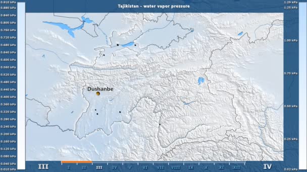
Water vapor pressure by month in the Tajikistan area with animated legend - English labels: country and capital names, map description. Stereographic projection
Water Vapor Pressure Month Tajikistan Area Animated Legend English Labels — Stock Video
World map 3d cartography China
World Map Cartography China — Stock Video
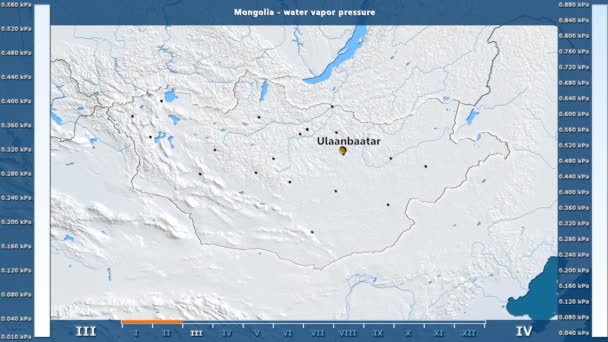
Water vapor pressure by month in the Mongolia area with animated legend - English labels: country and capital names, map description. Stereographic projection
Water Vapor Pressure Month Mongolia Area Animated Legend English Labels — Stock Video
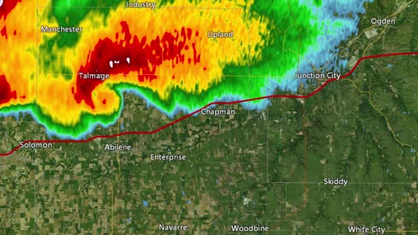
2016 Solomon/Abeline/Chapman, Kansas tornado event. Depicts radar imagery (reflectivity) taken by National Weather Service NEXRAD radar. There is an identical version WITH warning boxes available in our portfolio
2016 Solomon/Abilene/Chapman, KS Tornado Doppler Radar (Without Warn Boxes) — Stock Video
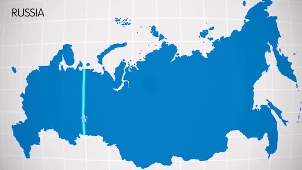
The division of Europe and Asia on the map. the city Ekaterinburg divides Europe and Asia. Eurasia on the map Animation. Eurasia. Yekaterinburg animation HD
The division of Europe and Asia on the map. the city Ekaterinburg divides Europe and Asia. Eurasia on the map Animation. Eurasia. Yekaterinburg animation — Stock Video
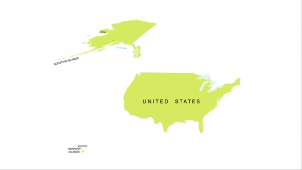
Animation of the map of the USA
Animation of the map of the United States of America — Stock Video
Thank You Word Cloud in vector format.(multi language translation: Thank you)
Thank You Word Cloud Vector Format Multi Language Translation Thank — Stock Video
Greenhouse gas emissions in France from 2000 to 2019. Values in tonnes per capita (CO2 equivalent). Source data: Eurostat. 3D rendering loop able video with 4K resolution.
Greenhouse Gas Emissions France 2000 2019 Values Tonnes Capita Co2 — Stock Video
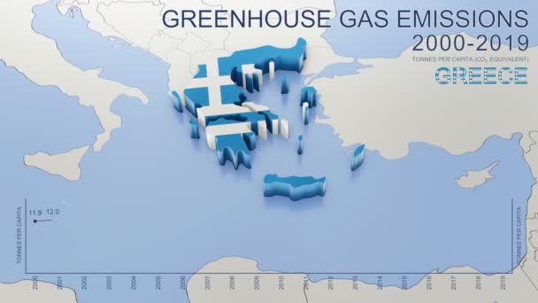
Greenhouse gas emissions in Greece from 2000 to 2019. Values in tonnes per capita (CO2 equivalent). Source data: Eurostat. 3D rendering loop able video with 4K resolution.
Greenhouse Gas Emissions Greece 2000 2019 Values Tonnes Capita Co2 — Stock Video
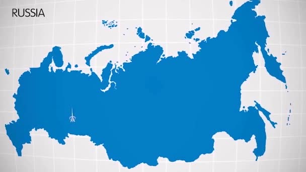
The division of Europe and Asia on the map. the city Ekaterinburg divides Europe and Asia. Eurasia on the map Animation. Eurasia. Yekaterinburg animation HD
The division of Europe and Asia on the map. the city Ekaterinburg divides Europe and Asia. Eurasia on the map Animation. Eurasia. Yekaterinburg animation — Stock Video
Water vapor pressure by month in the Estonia area with animated legend - raw color shader. Stereographic projection
Water Vapor Pressure Month Estonia Area Animated Legend Raw Color — Stock Video

Usage Information

You can use this royalty-free vector image "Greenland Political Map" for personal and commercial purposes according to the Standard or Extended License. The Standard License covers most use cases, including advertising, UI designs, and product packaging, and allows up to 500,000 print copies. The Extended License permits all use cases under the Standard License with unlimited print rights and allows you to use the downloaded vector files for merchandise, product resale, or free distribution.

This stock vector image is scalable to any size. You can buy and download it in high resolution up to 6000x7782. Upload Date: Apr 6, 2015