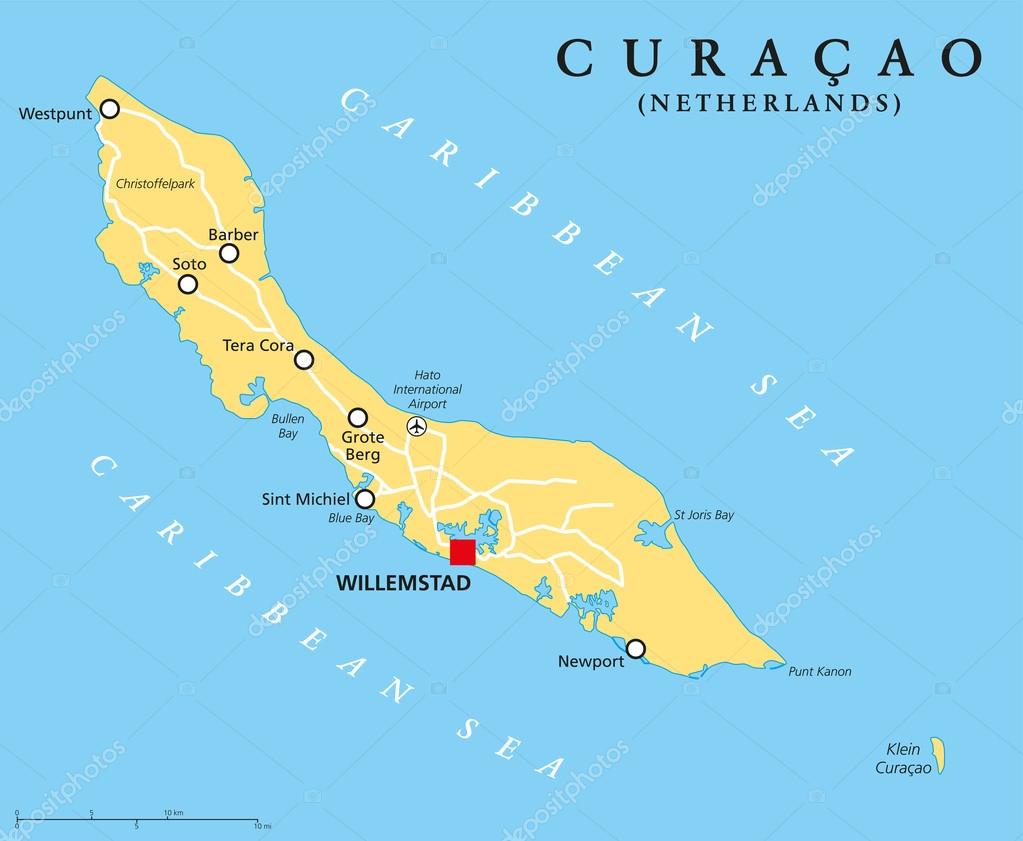
Curacao Political Map — Stock Vector

Curacao Political Map — Vector

Curacao Political Map with capital Willemstad and important cities. English labeling and scaling. Illustration.

 — Vector by Furian

Same Series:

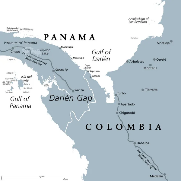
Darien Gap, gray political map. Region in the Isthmus of Panama, connecting North and South America with Central America. The gap is in the Pan-American Highway of which a part were not built.
Darien Gap Gray Political Map Region Isthmus Panama Connecting North — Stock Vector
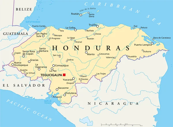
Political map of Honduras with capital Tegucigalpa, with national borders, most important cities, rivers and lakes. Illustration with English labeling and scaling.
Honduras Political Map — Stock Vector
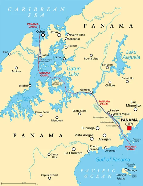
Panama Canal, political map. Artificial waterway in Panama, connecting the Atlantic Ocean (Caribbean Sea) with Pacific Ocean, cutting across the Isthmus of Panama, reducing the travel time for ships.
Panama Canal Political Map Artificial Waterway Panama Connecting Atlantic Ocean — Stock Vector
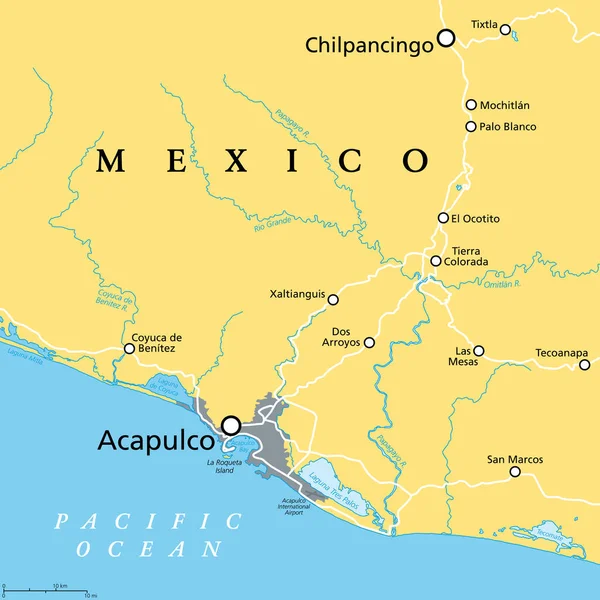
Acapulco and surroundings, political map. Acapulco de Juarez, city and major port of call in state of Guerrero on the Pacific Coast of Mexico. Popular tourist spot and port of call for cruise ships.
Acapulco Surroundings Political Map Acapulco Juarez City Major Port Call — Stock Vector
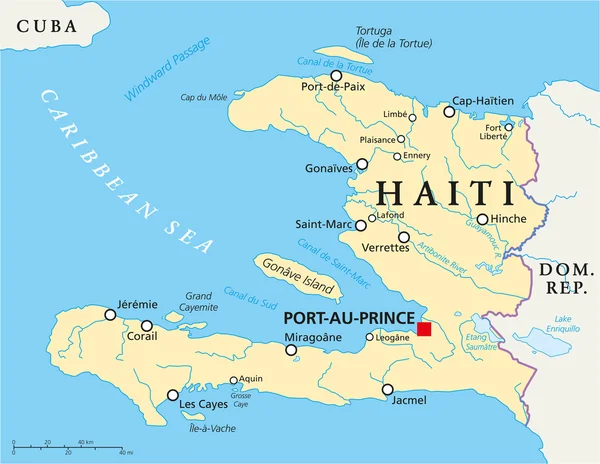
Haiti Political Map with capital Port-au-Prince, with national borders, important cities, rivers and lakes. English labeling and scaling. Illustration.
Haiti Political Map — Stock Vector
Grenada political map with capital St. Georges. Island Country and part of the Windward Islands and Lesser Antilles in the Caribbean Sea. English labeling and scaling. Illustration.
Grenada Political Map — Stock Vector
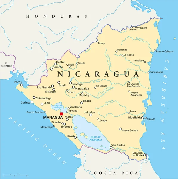
Political map of Nicaragua with capital Managua, with national borders, most important cities, rivers and lakes. Illustration with English labeling and scaling.
Nicaragua Political Map — Stock Vector
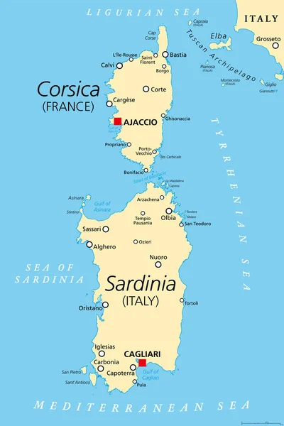
Corsica and Sardinia, political map. French and Italian islands, with capitals Ajaccio and Cagliari. Islands in Mediterranean Sea, west of Italian Peninsula and Tyrrhenian Sea, south of Ligurian Sea.
Corsica Sardinia Political Map French Italian Islands Capitals Ajaccio Cagliari — Stock Vector
Dominica political map with capital Roseau and important places. Island country in the Lesser Antilles region of the Caribbean Sea. English labeling and scaling. Illustration.
Dominica Political Map — Stock Vector
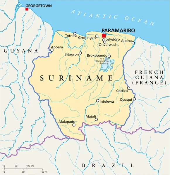
Suriname Political Map with capital Paramaribo, national borders, most important cities, rivers and lakes. Illustration with labeling and scaling.
Suriname Political Map — Stock Vector
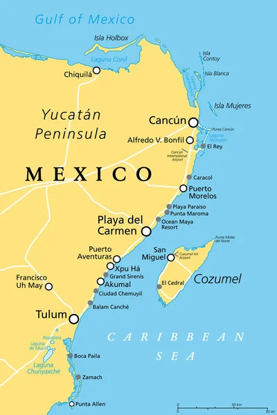
Cancun, Cozumel and Riviera Maya, Mexico, political map. Cancun, city on the coast of Yucatan Peninsula, north of Riviera Maya, a Caribbean coast resort, with Cozumel in the east of Playa del Carmen.
Cancun Cozumel Riviera Maya Mexico Political Map Cancun City Coast — Stock Vector
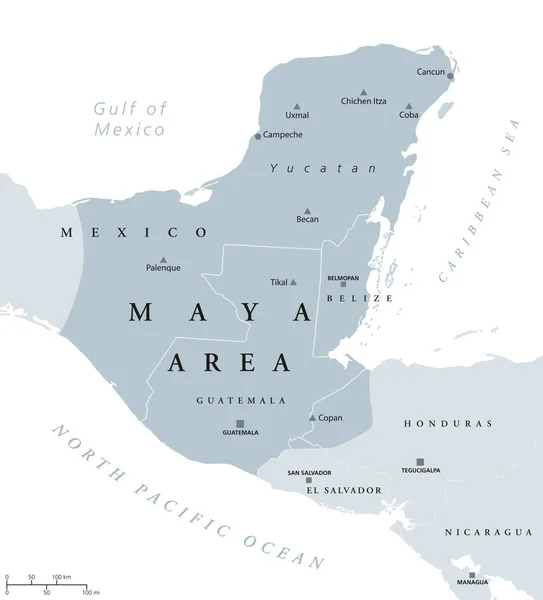
Maya area political map. Mesoamerican civilization and high culture of pre-Columbian Americas. Capitals, national borders and most important ancient cities. Illustration with English labeling. Vector.
Maya area political map — Stock Vector
El Hierro island, political map, with capital Valverde. Nicknamed Meridian Island, part of Canary Islands, an archipelago and autonomous community of Spain, in Atlantic Ocean, off the coast of Africa.
Hierro Island Political Map Capital Valverde Nicknamed Meridian Island Part — Stock Vector
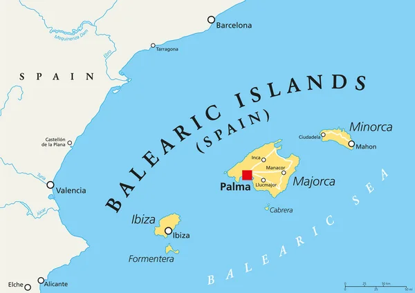
Balearic Islands political map with capital Palma. Archipelago of Spain in Mediterranean Sea near Iberian Peninsula coast. Majorca, Minorca, Ibiza, Formentera. lllustration. English labeling. Vector
Balearic Islands political map — Stock Vector
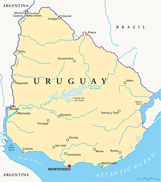
Political map of Uruguay with capital Montevideo, national borders, most important cities, rivers and lakes. Illustration with English labeling and scaling.
Uruguay Political Map — Stock Vector

Similar Stock Videos:
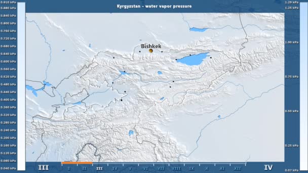
Water vapor pressure by month in the Kyrgyzstan area with animated legend - English labels: country and capital names, map description. Stereographic projection
Water Vapor Pressure Month Kyrgyzstan Area Animated Legend English Labels — Stock Video
India map highlighted in India flag colors and pin of country capital New Delhi, map with neighboring Asian countries.
India Map Highlighted India Flag Colors Pin Country Capital New — Stock Video
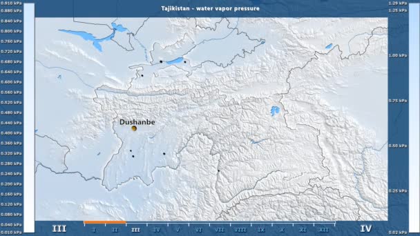
Water vapor pressure by month in the Tajikistan area with animated legend - English labels: country and capital names, map description. Stereographic projection
Water Vapor Pressure Month Tajikistan Area Animated Legend English Labels — Stock Video
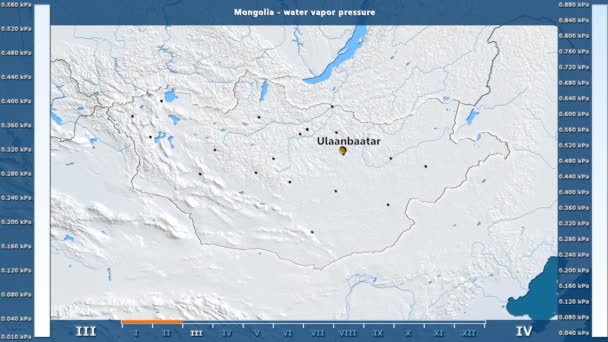
Water vapor pressure by month in the Mongolia area with animated legend - English labels: country and capital names, map description. Stereographic projection
Water Vapor Pressure Month Mongolia Area Animated Legend English Labels — Stock Video
Uzbekistan map highlighted in Uzbekistan flag colors and pin of country capital Tashkent, map with neighboring Asian countries.
Uzbekistan Map Highlighted Uzbekistan Flag Colors Pin Country Capital Tashkent — Stock Video
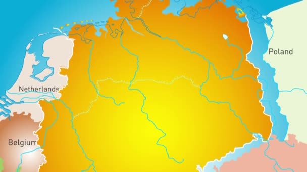
Animated detailed map of Germany country
Animated detailed map of Germany — Stock Video
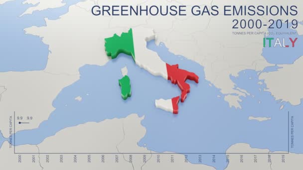
Greenhouse gas emissions in Italy from 2000 to 2019. Values in tonnes per capita (CO2 equivalent). Source data: Eurostat. 3D rendering loop able video with 4K resolution.
Greenhouse Gas Emissions Italy 2000 2019 Values Tonnes Capita Co2 — Stock Video
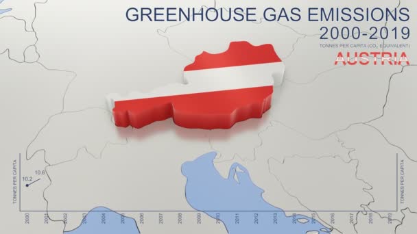
Greenhouse gas emissions in Austria from 2000 to 2019. Values in tonnes per capita (CO2 equivalent). Source data: Eurostat. 3D rendering loop able video with 4K resolution.
Greenhouse Gas Emissions Austria 2000 2019 Values Tonnes Capita Co2 — Stock Video
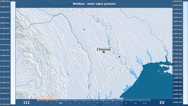
Water vapor pressure by month in the Moldova area with animated legend - English labels: country and capital names, map description. Stereographic projection
Water Vapor Pressure Month Moldova Area Animated Legend English Labels — Stock Video
Water vapor pressure by month in the Belgium area with animated legend - English labels: country and capital names, map description. Stereographic projection
Water Vapor Pressure Month Belgium Area Animated Legend English Labels — Stock Video
James Cook. great geographical discoveries. trip around the world
The great world tour - James Cook. — Stock Video
Vintage American Map Animation With States Names/ 4k animation of a vintage textured american map background, with names of fifty states
Vintage American Map Animation States Names Animation Vintage Textured American — Stock Video
Line map the national flag of Nigeria in stop motion effect. Nigeria flag brush strokes art background. High quality 4k footage
Line map the national flag of Nigeria in stop motion effect. Nigeria flag brush strokes art background. — Stock Video
Line animated map showing the state of Thailand. 2d map of Thailand. 4k
Line animated map showing the state of Thailand. 2d map of Thailand. — Stock Video
Puducherry India federal state map outline animation
Puducherry India Federal State Map Outline Animation — Stock Video
The division of Europe and Asia on the map. the city Ekaterinburg divides Europe and Asia. Eurasia on the map Animation. Eurasia. Yekaterinburg animation HD
The division of Europe and Asia on the map. the city Ekaterinburg divides Europe and Asia. Eurasia on the map Animation. Eurasia. Yekaterinburg animation — Stock Video
Vintage American Map Animation With States Names/ 4k animation of a vintage textured american map background, with names of fifty states
Vintage American Map Animation States Names Animation Vintage Textured American — Stock Video
Vintage American Map Animation With States Names/ 4k animation of a vintage textured american map background, with names of fifty states
Vintage American Map Animation States Names Animation Vintage Textured American — Stock Video

Usage Information

You can use this royalty-free vector image "Curacao Political Map" for personal and commercial purposes according to the Standard or Extended License. The Standard License covers most use cases, including advertising, UI designs, and product packaging, and allows up to 500,000 print copies. The Extended License permits all use cases under the Standard License with unlimited print rights and allows you to use the downloaded vector files for merchandise, product resale, or free distribution.

This stock vector image is scalable to any size. You can buy and download it in high resolution up to 7298x6000. Upload Date: Apr 8, 2015