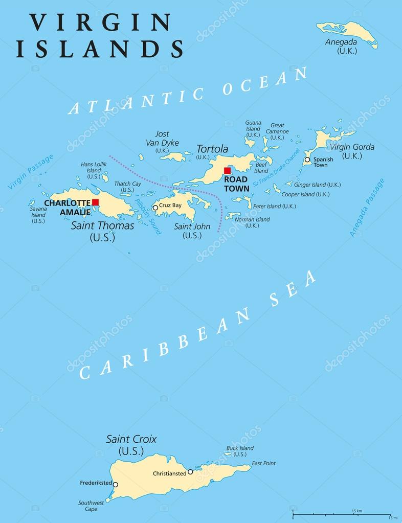
Virgin Islands Political Map — Stock Vector

Virgin Islands Political Map — Vector

Virgin Islands Political Map. An island group between the Caribbean Sea and the Atlantic Ocean. British Virgin Islands and Virgin Islands of the United States. English labeling and scaling. Illustration.

 — Vector by Furian

Same Series:

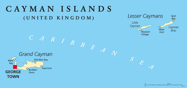
Cayman Islands Political Map with capital George Town and important places. A British Overseas Territory in the western Caribbean Sea. English labeling and scaling. Illustration.
Cayman Islands Political Map — Stock Vector
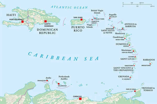
Political map of Lesser Antilles, Haiti and Dominican Republic with the capitals, national borders, rivers and lakes. Vector illustration with english labeling and scale.
Lesser Antilles, Haiti, Dominican Republic — Stock Vector
Windward Islands, gray political map. Islands of Lesser Antilles, south of Leeward Islands in the Caribbean Sea. From Dominica, Martinique, Saint Lucia, Saint Vincent and the Grenadines, to Grenada.
Windward Islands Gray Political Map Islands Lesser Antilles South Leeward — Stock Vector
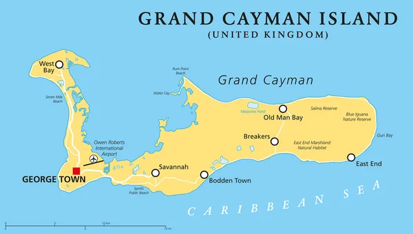
Grand Cayman Island Political Map with capital George Town and important places, the largest of the three Cayman Islands, a British Overseas Territory in the western Caribbean Sea. English labeling and scaling. Illustration.
Grand Cayman Island Political Map — Stock Vector
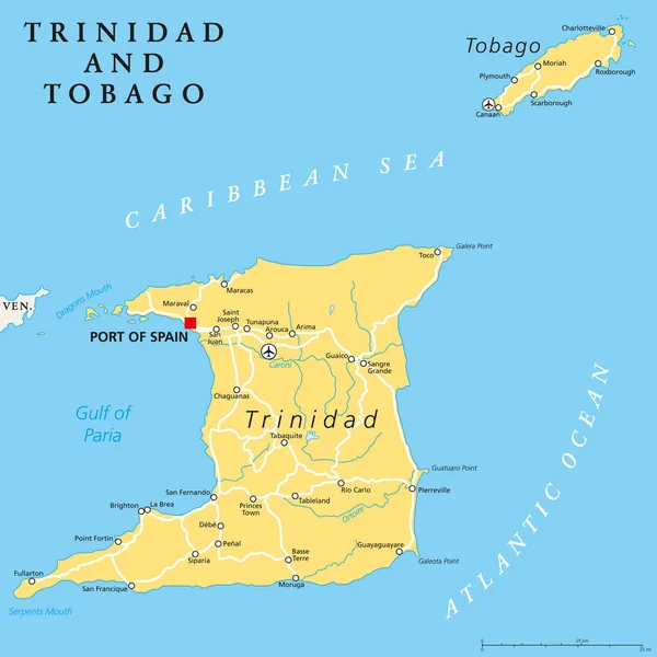
Trinidad and Tobago political map with capital Port of Spain. Twin island country in the Windward Islands and Lesser Antilles. English labeling and scaling. Illustration.
Trinidad and Tobago Political Map — Stock Vector
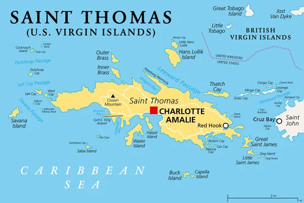
Saint Thomas, United States Virgin Islands, political map. One of the three largest islands of the USVI. The territorial capital and port of Charlotte Amalie is located on this island. Vector.
Saint Thomas United States Virgin Islands Political Map One Three — Stock Vector
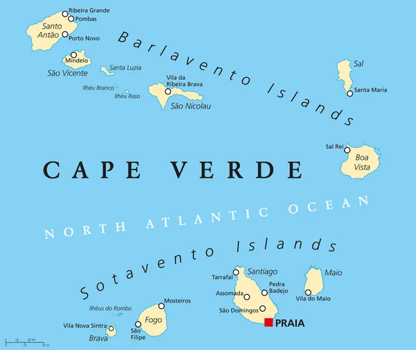
Cape Verde Political Map with capital Praia and important cities. English labeling and scaling. Illustration.
Cape Verde Political Map — Stock Vector
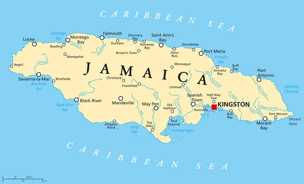
Jamaica Political Map with capital Kingston, important cities and rivers. English labeling and scaling. Illustration.
Jamaica Political Map — Stock Vector
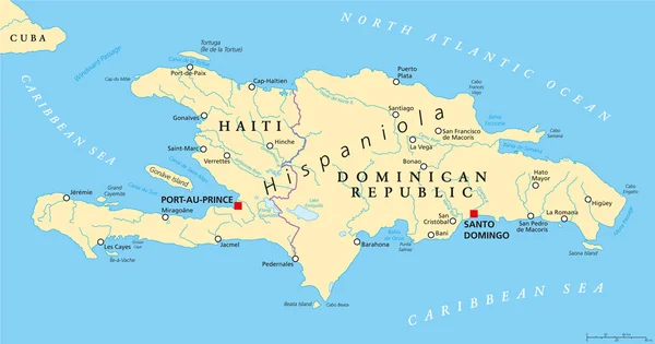
Hispaniola Political Map with Haiti and Dominican Republic, located in the Caribbean island group, the Greater Antilles. With capitals, national borders, important cities, rivers and lakes. English labeling and scaling. Illustration.
Hispaniola Political Map with Haiti and Dominican Republic — Stock Vector
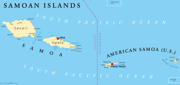
Samoan Islands political map with Samoa, formerly known as Western Samoa and American Samoa and their capitals Apia and Pago Pago. English labeling and scaling. Illustration.
Samoan Islands Political Map — Stock Vector
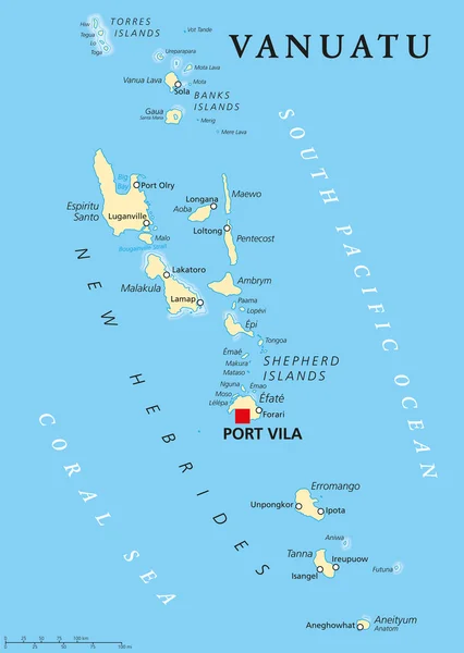
Vanuatu political map with capital Port Vila. Republic and island nation in South Pacific Ocean. New Hebrides with largest islands Espiritu Santo, Malakula and Efate. English labeling. Illustration.
Vanuatu Political Map — Stock Vector
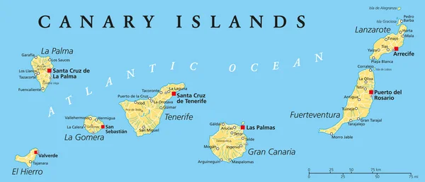
Canary Islands Political Map with Lanzarote, Fuerteventura, Gran Canaria, Tenerife, La Gomera, La Palma and El Hierro. English labeling and scaling. Illustration.
Canary Islands Political Map — Stock Vector
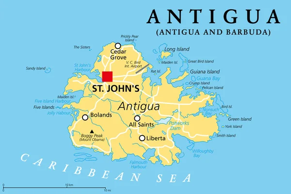
Antigua, island in the Lesser Antilles, political map. One of the Leeward Islands in the Caribbean region, and the most populous island of the country of Antigua and Barbuda, with capital St. Johns.
Antigua Island Lesser Antilles Political Map One Leeward Islands Caribbean — Stock Vector
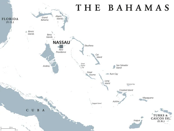
The Bahamas political map with capital Nassau. Commonwealth and archipelagic state within the Lucayan Archipelago in the Atlantic Ocean. Gray illustration on white background. English labeling. Vector
The Bahamas political map — Stock Vector
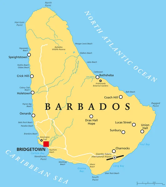
Barbados Political Map with capital Bridgetown, with important cities, places and rivers. English labeling and scaling. Illustration.
Barbados Political Map — Stock Vector
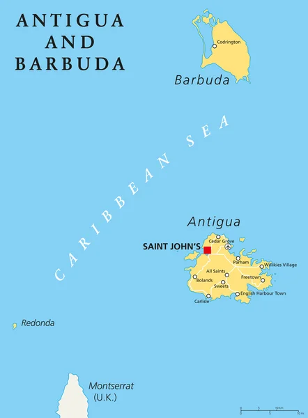
Antigua and Barbuda Political Map with capital Saint Johns and important places. English labeling and scaling. Illustration.
Antigua and Barbuda Political Map — Stock Vector

Similar Stock Videos:
Animated detailed map of Germany country
Animated detailed map of Germany — Stock Video
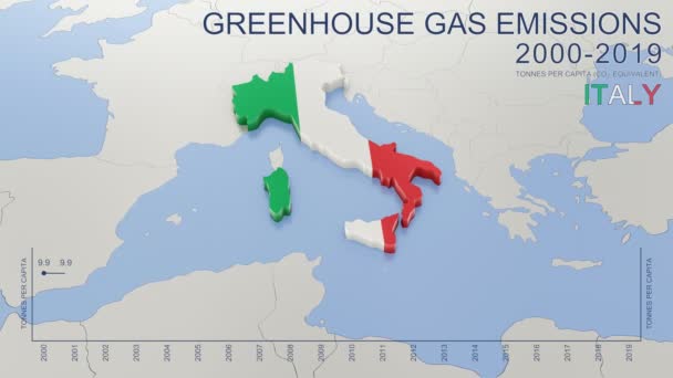
Greenhouse gas emissions in Italy from 2000 to 2019. Values in tonnes per capita (CO2 equivalent). Source data: Eurostat. 3D rendering loop able video with 4K resolution.
Greenhouse Gas Emissions Italy 2000 2019 Values Tonnes Capita Co2 — Stock Video
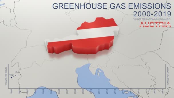
Greenhouse gas emissions in Austria from 2000 to 2019. Values in tonnes per capita (CO2 equivalent). Source data: Eurostat. 3D rendering loop able video with 4K resolution.
Greenhouse Gas Emissions Austria 2000 2019 Values Tonnes Capita Co2 — Stock Video
Uzbekistan map highlighted in Uzbekistan flag colors and pin of country capital Tashkent, map with neighboring Asian countries.
Uzbekistan Map Highlighted Uzbekistan Flag Colors Pin Country Capital Tashkent — Stock Video
India map highlighted in India flag colors and pin of country capital New Delhi, map with neighboring Asian countries.
India Map Highlighted India Flag Colors Pin Country Capital New — Stock Video
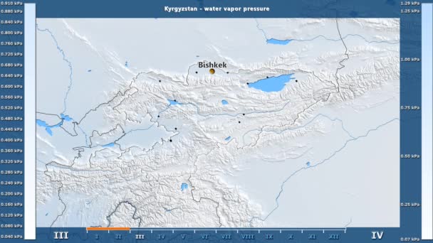
Water vapor pressure by month in the Kyrgyzstan area with animated legend - English labels: country and capital names, map description. Stereographic projection
Water Vapor Pressure Month Kyrgyzstan Area Animated Legend English Labels — Stock Video
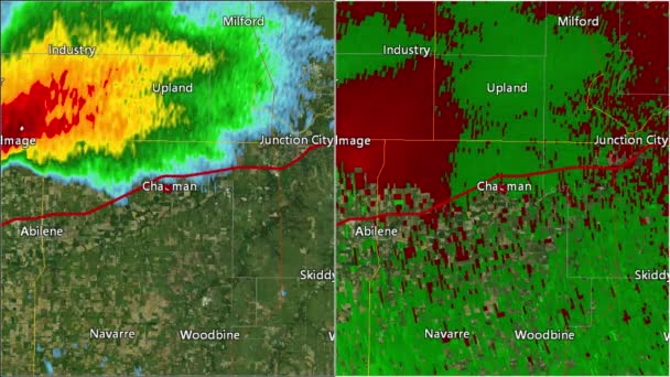
2016 Solomon/Abilene/Chapman, Kansas tornado. Depicts radar imagery (reflectivity) on the left, and base velocity (wind speed and direction) on the right. Taken by National Weather Service NEXRAD radar.
2016 Solomon/Abilene/Chapman, KS Tornado Doppler Radar (Split Screen) — Stock Video
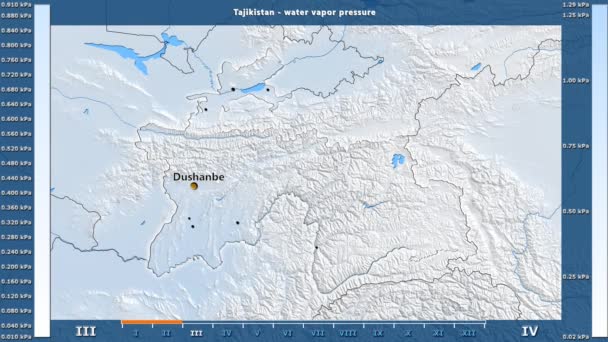
Water vapor pressure by month in the Tajikistan area with animated legend - English labels: country and capital names, map description. Stereographic projection
Water Vapor Pressure Month Tajikistan Area Animated Legend English Labels — Stock Video
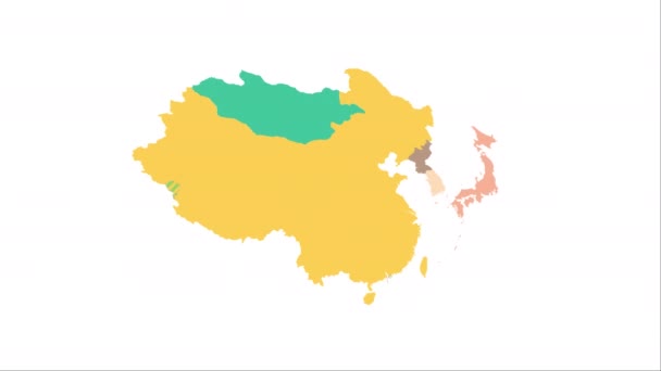
Animation of the map of East Asia region
Animation of the map of East Asia — Stock Video
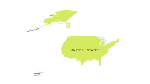
Animation of the map of the USA
Animation of the map of the United States of America — Stock Video
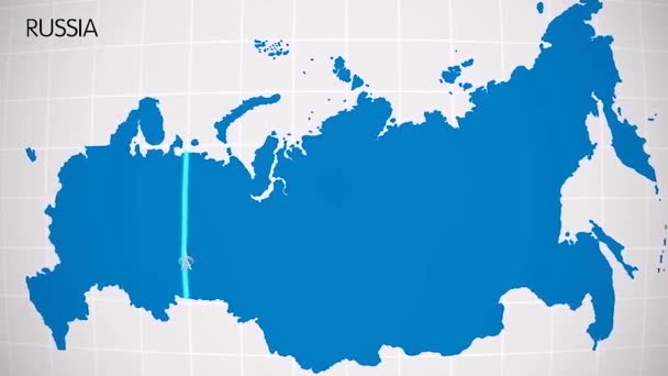
The division of Europe and Asia on the map. the city Ekaterinburg divides Europe and Asia. Eurasia on the map Animation. Eurasia. Yekaterinburg animation HD
The division of Europe and Asia on the map. the city Ekaterinburg divides Europe and Asia. Eurasia on the map Animation. Eurasia. Yekaterinburg animation — Stock Video
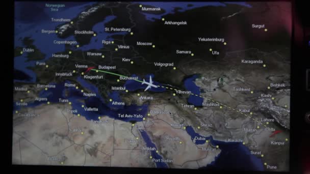
The plane takes off and land at the airport in the night and day. There are views from the windows and interior. Check out the runway, accelerate and take off into the night. View the wing against the sky.
The plane takes off at the airport. Exterior and interior. People and flight attendant on the plane are going. The TV screen shows parameters of the flight. — Stock Video
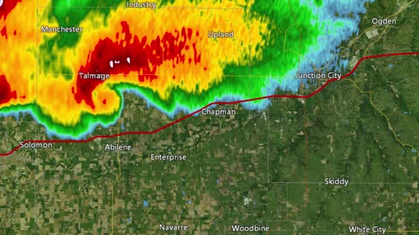
2016 Solomon/Abeline/Chapman, Kansas tornado event. Depicts radar imagery (reflectivity) taken by National Weather Service NEXRAD radar. There is an identical version WITH warning boxes available in our portfolio
2016 Solomon/Abilene/Chapman, KS Tornado Doppler Radar (Without Warn Boxes) — Stock Video
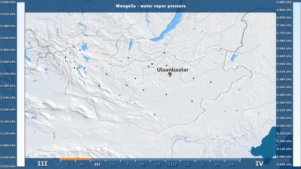
Water vapor pressure by month in the Mongolia area with animated legend - English labels: country and capital names, map description. Stereographic projection
Water Vapor Pressure Month Mongolia Area Animated Legend English Labels — Stock Video
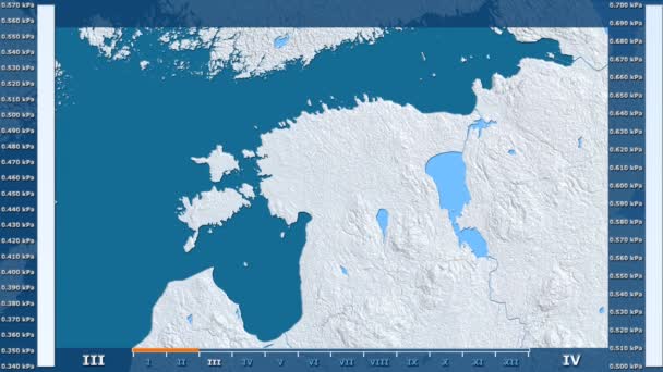
Water vapor pressure by month in the Estonia area with animated legend - raw color shader. Stereographic projection
Water Vapor Pressure Month Estonia Area Animated Legend Raw Color — Stock Video
The division of Europe and Asia on the map. the city Ekaterinburg divides Europe and Asia. Eurasia on the map Animation. Eurasia. Yekaterinburg animation HD
The division of Europe and Asia on the map. the city Ekaterinburg divides Europe and Asia. Eurasia on the map Animation. Eurasia. Yekaterinburg animation — Stock Video
Vintage American Map Animation With States Names/ 4k animation of a vintage textured american map background, with names of fifty states
Vintage American Map Animation States Names Animation Vintage Textured American — Stock Video
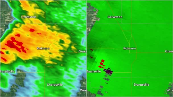
2016 Kokomo, IN tornado. Depicts radar imagery (reflectivity) on the left, and base velocity (wind speed and direction) on the right. Taken by National Weather Service NEXRAD radar.
2016 Kokomo, IN Tornado Doppler Radar Split-screen — Stock Video

Usage Information

You can use this royalty-free vector image "Virgin Islands Political Map" for personal and commercial purposes according to the Standard or Extended License. The Standard License covers most use cases, including advertising, UI designs, and product packaging, and allows up to 500,000 print copies. The Extended License permits all use cases under the Standard License with unlimited print rights and allows you to use the downloaded vector files for merchandise, product resale, or free distribution.

This stock vector image is scalable to any size. You can buy and download it in high resolution up to 6000x7810. Upload Date: Apr 12, 2015