Canada Political Map — Stock Vector

Canada Political Map — Vector

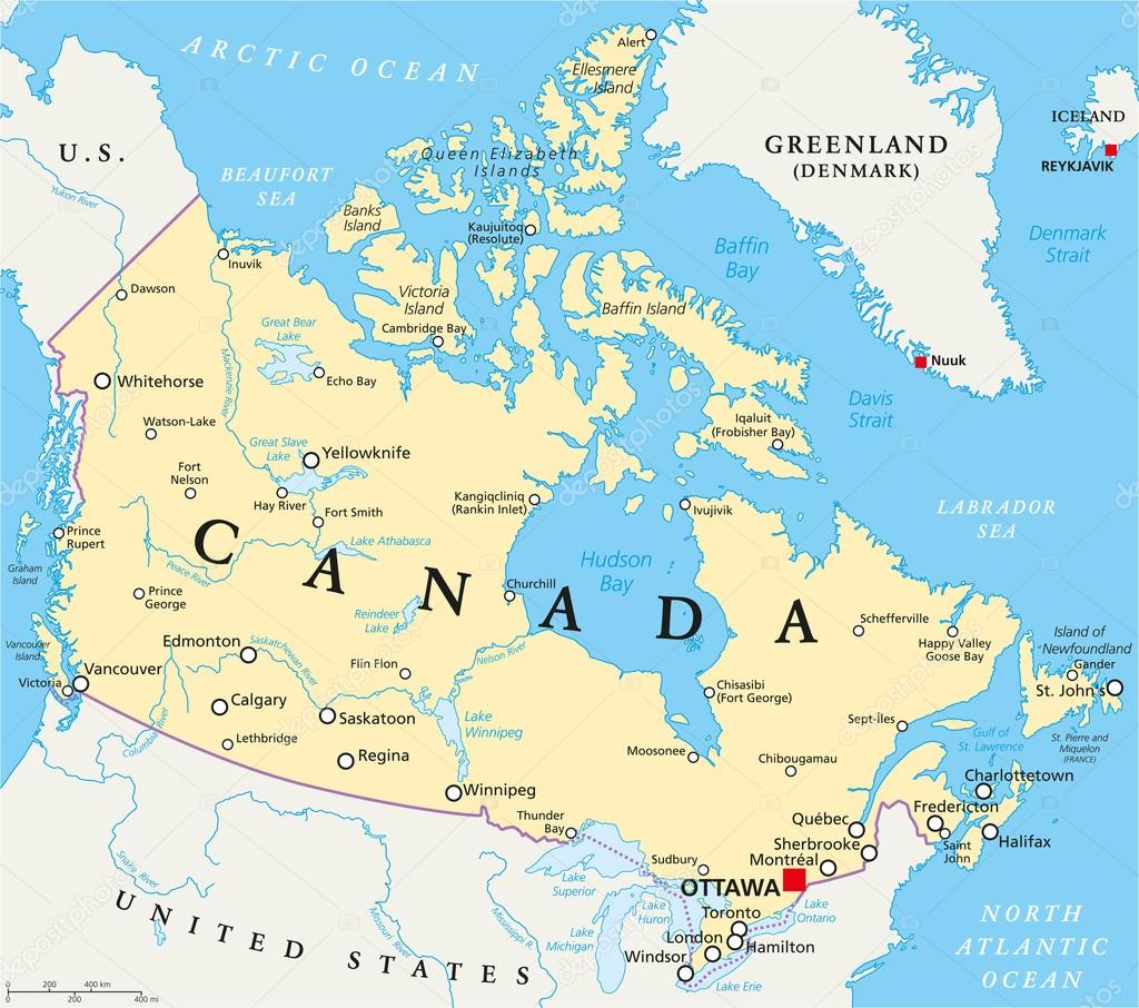
Canada Political Map with capital Ottawa, national borders, important cities, rivers and lakes. English labeling and scaling. Illustration.

 — Vector by Furian

Same Series:

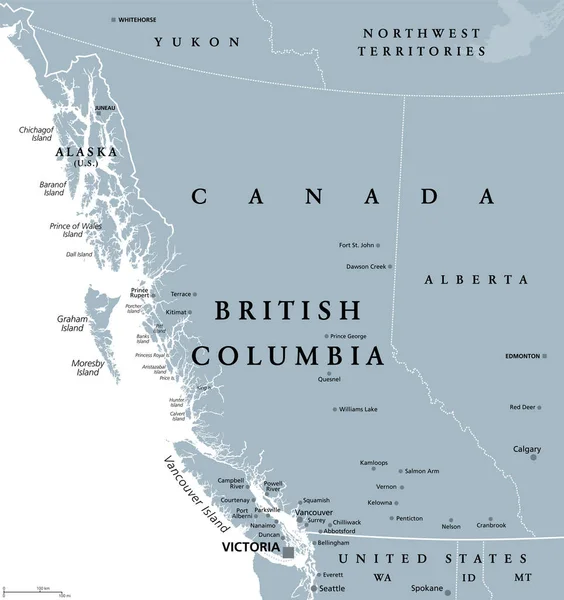
British Columbia, BC, province of Canada, gray political map. Situated on the Pacific Ocean, bordered by Alberta, Northwest Territories, Yukon, and the US states Alaska, Idaho, Montana and Washington.
British Columbia Province Canada Gray Political Map Situated Pacific Ocean — Stock Vector
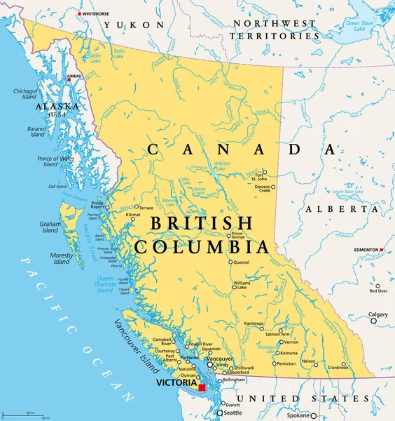
British Columbia, BC, province of Canada, political map. Situated on the Pacific Ocean, bordered by Alberta, the Northwest Territories, Yukon, and the US states Alaska, Idaho, Montana and Washington.
British Columbia Province Canada Political Map Situated Pacific Ocean Bordered — Stock Vector
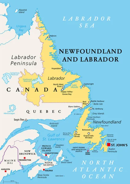
Newfoundland and Labrador, political map. Province of Canada, in the Atlantic region, with capital St. Johns. Island of Newfoundland and continental region of Labrador between Quebec and the Atlantic.
Newfoundland Labrador Political Map Province Canada Atlantic Region Capital Johns — Stock Vector
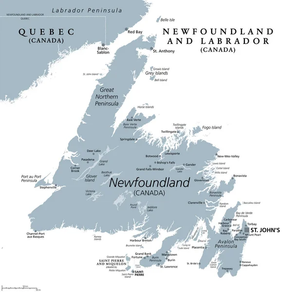
Island of Newfoundland, gray political map. Part of Canadian province of Newfoundland and Labrador with capital St. Johns. Island off the coast of mainland North America southwest of Labrador Sea.
Island Newfoundland Gray Political Map Part Canadian Province Newfoundland Labrador — Stock Vector
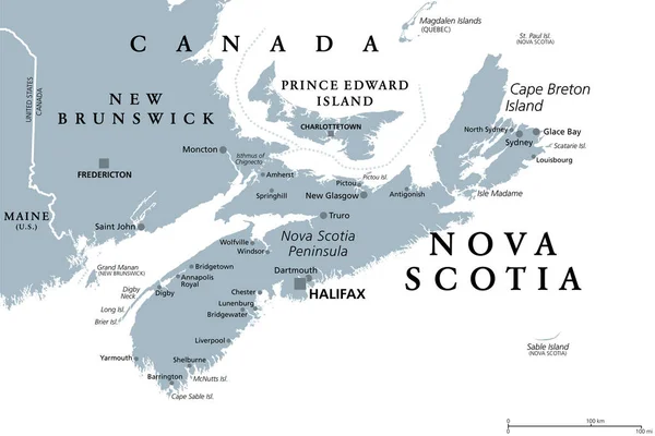
Nova Scotia, Maritime and Atlantic province of Canada, gray political map. Cape Breton Island and Nova Scotia Peninsula, with capital Halifax. Bordering on the Gulf of Maine and on the Atlantic Ocean.
Nova Scotia Maritime Atlantic Province Canada Gray Political Map Cape — Stock Vector
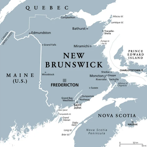
New Brunswick, Maritime and Atlantic province of Canada, gray political map. Bordering to Quebec, Nova Scotia, Gulf of St Lawrence, Bay of Fundy and the U.S. state Maine. With capital Fredericton.
New Brunswick Maritime Atlantic Province Canada Gray Political Map Bordering — Stock Vector
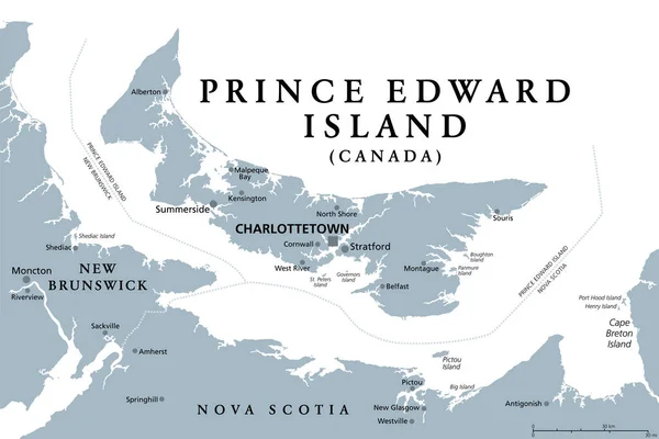
Prince Edward Island, Maritime and Atlantic province of Canada, gray political map. Known as The Island, in Gulf of St. Lawrence, bordering New Brunswick and Nova Scotia, with capital Charlottetown.
Prince Edward Island Maritime Atlantic Province Canada Gray Political Map — Stock Vector
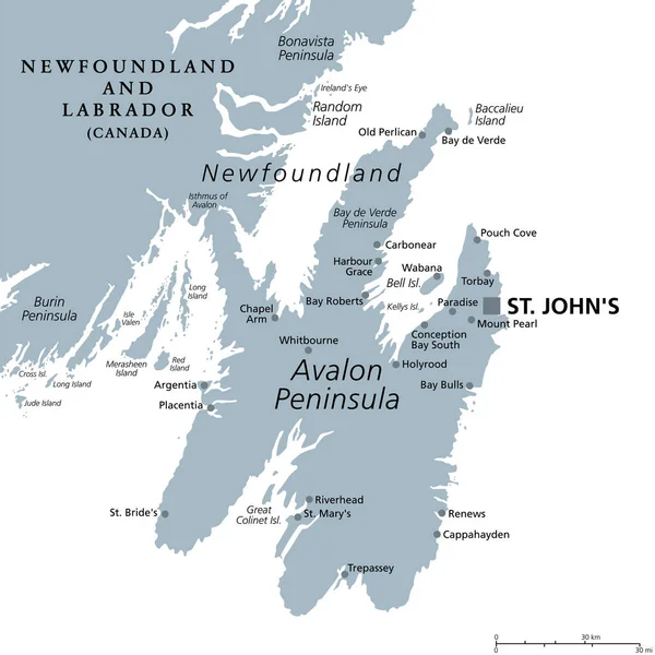
Avalon Peninsula, gray political map. Portion of the island of Newfoundland, off the coast of mainland North America, part of Canadian province of Newfoundland and Labrador, with capital St. Johns.
Avalon Peninsula Gray Political Map Portion Island Newfoundland Coast Mainland — Stock Vector
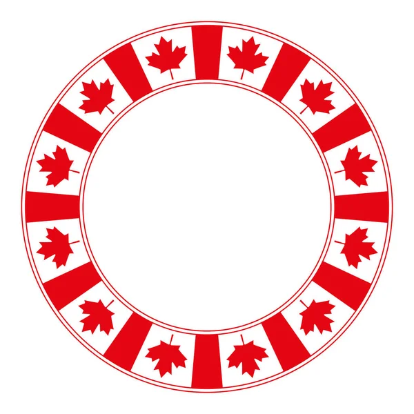
National flag of Canada motif, circle frame. Decorative circular border, made of the repeated Canadian flag pattern, also known as the Maple Leaf. Isolated illustration, on white background. Vector.
National Flag Canada Motif Circle Frame Decorative Circular Border Made — Stock Vector
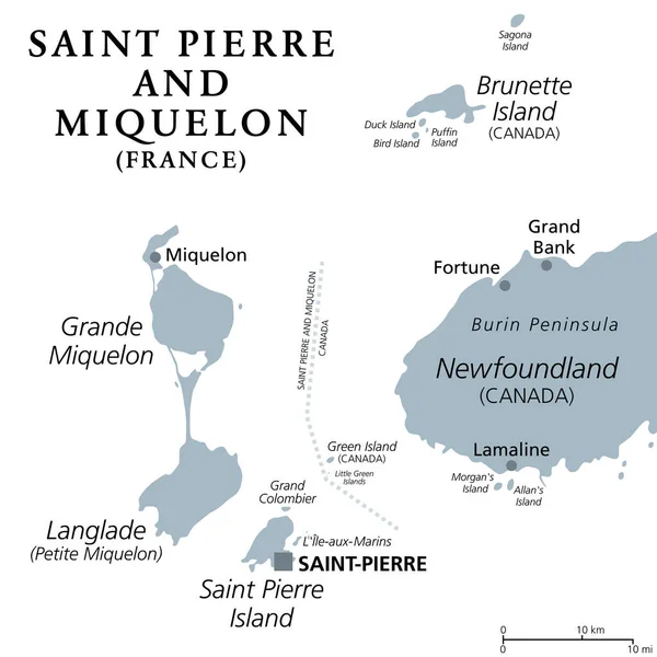
Saint Pierre and Miquelon, gray political map. Archipelago and self-governing territorial overseas collectivity of France in the North Atlantic, near Canadian province of Newfoundland and Labrador.
Saint Pierre Miquelon Gray Political Map Archipelago Self Governing Territorial — Stock Vector
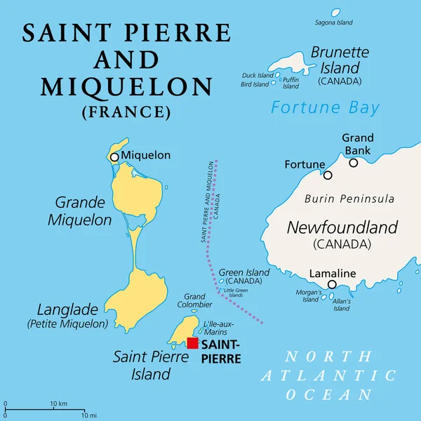
Saint Pierre and Miquelon, political map. Archipelago and self-governing territorial overseas collectivity of France in the North Atlantic Ocean, near Canadian province of Newfoundland and Labrador.
Saint Pierre Miquelon Political Map Archipelago Self Governing Territorial Overseas — Stock Vector
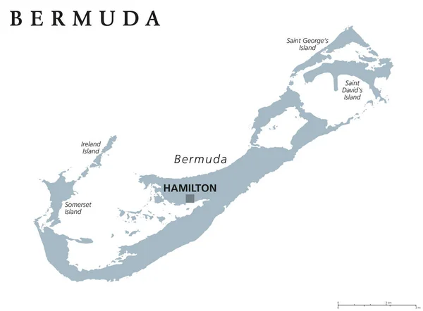
Bermuda Political Map with capital Hamilton, also called The Bermudas or Somers Isles, a British Overseas Territory. English labeling and scaling. Illustration.
Bermuda Political Map — Stock Vector
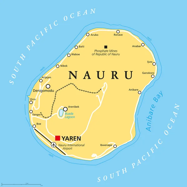
Nauru political map with de facto capital Yaren and important settlements. Republic in Micronesia in the Central Pacific. Island country, formerly known as Pleasant Island. English labeling.
Nauru Political Map — Stock Vector
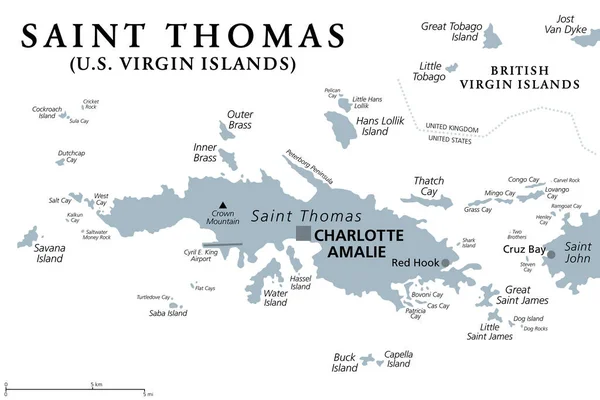
Saint Thomas, United States Virgin Islands, gray political map. One of the three largest islands of the USVI. The territorial capital and port of Charlotte Amalie is also located on the island. Vector
Saint Thomas United States Virgin Islands Gray Political Map One — Stock Vector
Bermuda political map with capital Hamilton. British Overseas Territory in the North Atlantic Ocean. Member of the Caribbean Community. Gray illustration on white background. English labeling. Vector.
Bermuda political map — Stock Vector
Maple leaf symbol red radial dot pattern. Characteristic leaf of the maple tree and national symbol of Canada. Formed by single dots beginning from the center. Illustration on white background.
Maple leaf symbol red radial dot pattern — Stock Vector

Similar Stock Videos:
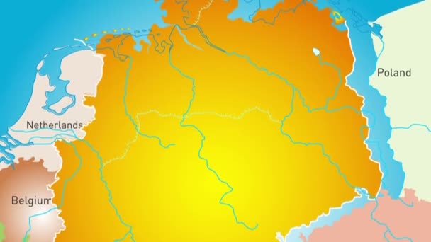
Animated detailed map of Germany country
Animated detailed map of Germany — Stock Video
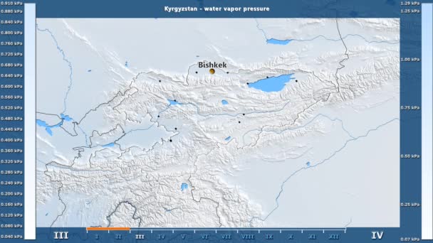
Water vapor pressure by month in the Kyrgyzstan area with animated legend - English labels: country and capital names, map description. Stereographic projection
Water Vapor Pressure Month Kyrgyzstan Area Animated Legend English Labels — Stock Video
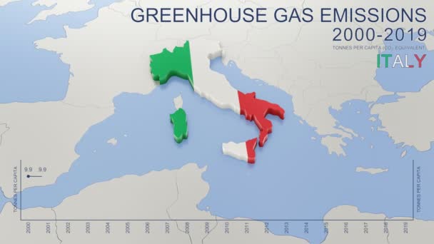
Greenhouse gas emissions in Italy from 2000 to 2019. Values in tonnes per capita (CO2 equivalent). Source data: Eurostat. 3D rendering loop able video with 4K resolution.
Greenhouse Gas Emissions Italy 2000 2019 Values Tonnes Capita Co2 — Stock Video
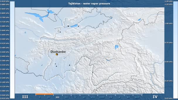
Water vapor pressure by month in the Tajikistan area with animated legend - English labels: country and capital names, map description. Stereographic projection
Water Vapor Pressure Month Tajikistan Area Animated Legend English Labels — Stock Video
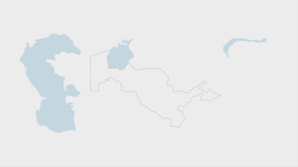
Uzbekistan map highlighted in Uzbekistan flag colors and pin of country capital Tashkent, map with neighboring Asian countries.
Uzbekistan Map Highlighted Uzbekistan Flag Colors Pin Country Capital Tashkent — Stock Video
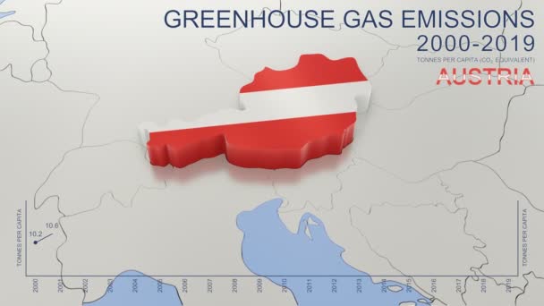
Greenhouse gas emissions in Austria from 2000 to 2019. Values in tonnes per capita (CO2 equivalent). Source data: Eurostat. 3D rendering loop able video with 4K resolution.
Greenhouse Gas Emissions Austria 2000 2019 Values Tonnes Capita Co2 — Stock Video
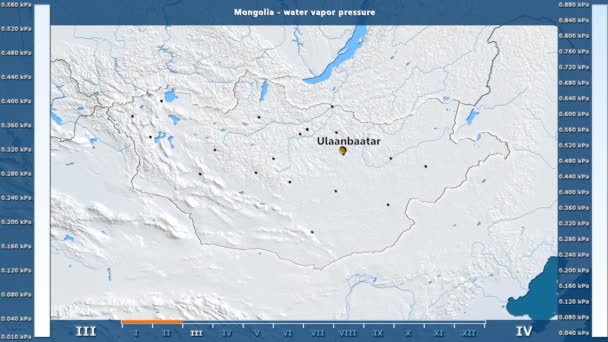
Water vapor pressure by month in the Mongolia area with animated legend - English labels: country and capital names, map description. Stereographic projection
Water Vapor Pressure Month Mongolia Area Animated Legend English Labels — Stock Video
India map highlighted in India flag colors and pin of country capital New Delhi, map with neighboring Asian countries.
India Map Highlighted India Flag Colors Pin Country Capital New — Stock Video
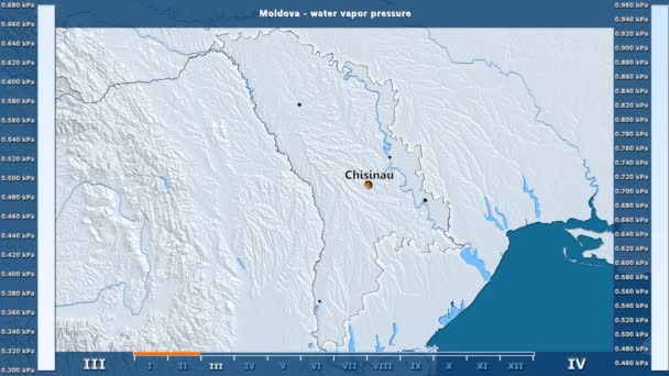
Water vapor pressure by month in the Moldova area with animated legend - English labels: country and capital names, map description. Stereographic projection
Water Vapor Pressure Month Moldova Area Animated Legend English Labels — Stock Video
Water vapor pressure by month in the Belgium area with animated legend - English labels: country and capital names, map description. Stereographic projection
Water Vapor Pressure Month Belgium Area Animated Legend English Labels — Stock Video
James Cook. great geographical discoveries. trip around the world
The great world tour - James Cook. — Stock Video
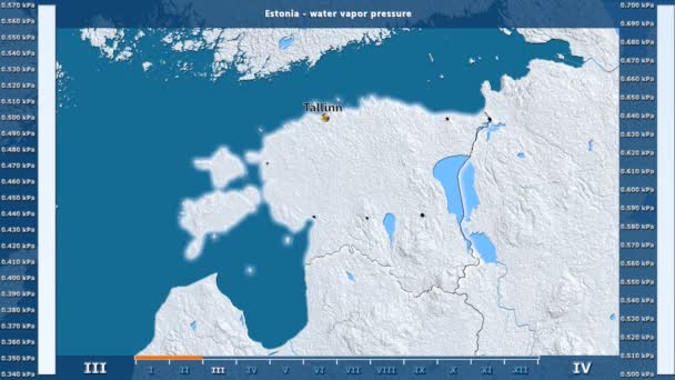
Water vapor pressure by month in the Estonia area with animated legend - English labels: country and capital names, map description. Stereographic projection
Water Vapor Pressure Month Estonia Area Animated Legend English Labels — Stock Video
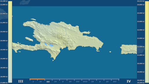
Solar radiation by month in the Dominican Republic area with animated legend - raw color shader. Stereographic projection
Solar Radiation Month Dominican Republic Area Animated Legend Raw Color — Stock Video
Water vapor pressure by month in the Estonia area with animated legend - glowing shape, administrative borders, main cities, capital. Stereographic projection
Water Vapor Pressure Month Estonia Area Animated Legend Glowing Shape — Stock Video
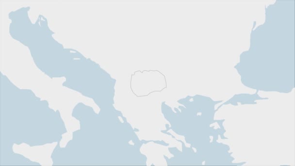
North Macedonia map highlighted in Macedonia flag colors and pin of country capital Skopje, map with neighboring European countries.
North Macedonia Map Highlighted Macedonia Flag Colors Pin Country Capital — Stock Video
Luxembourg map highlighted in Luxembourg flag colors and pin of country capital Baku, map with neighboring European countries.
Luxembourg Map Highlighted Luxembourg Flag Colors Pin Country Capital Baku — Stock Video
Montenegro map highlighted in Montenegro flag colors and pin of country capital Podgorica, map with neighboring European countries.
Montenegro Map Highlighted Montenegro Flag Colors Pin Country Capital Podgorica — Stock Video
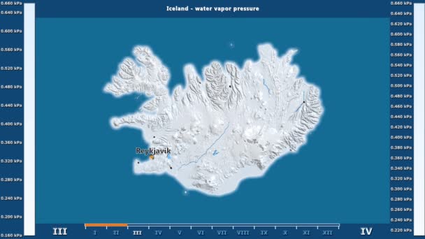
Water vapor pressure by month in the Iceland area with animated legend - English labels: country and capital names, map description. Stereographic projection
Water Vapor Pressure Month Iceland Area Animated Legend English Labels — Stock Video

Usage Information

You can use this royalty-free vector image "Canada Political Map" for personal and commercial purposes according to the Standard or Extended License. The Standard License covers most use cases, including advertising, UI designs, and product packaging, and allows up to 500,000 print copies. The Extended License permits all use cases under the Standard License with unlimited print rights and allows you to use the downloaded vector files for merchandise, product resale, or free distribution.

This stock vector image is scalable to any size. You can buy and download it in high resolution up to 6780x6000. Upload Date: May 16, 2015