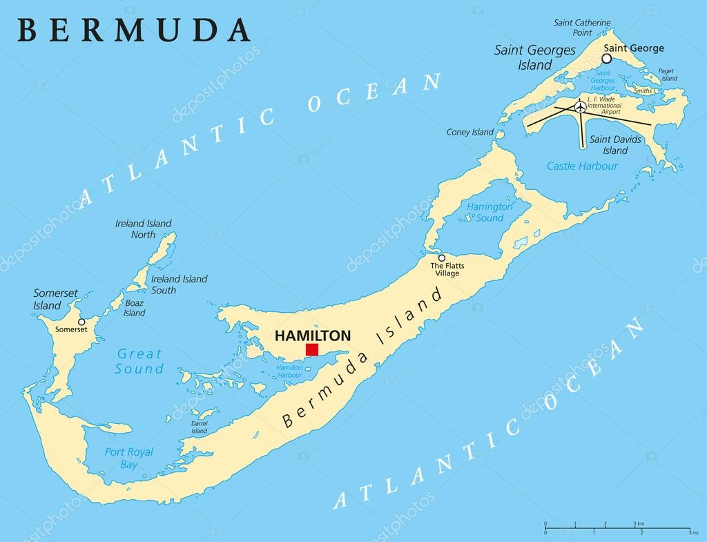
Bermuda Political Map — Stock Vector

Bermuda Political Map — Vector

Bermuda Political Map with capital Hamilton, also called The Bermudas or Somers Isles, a British Overseas Territory. English labeling and scaling. Illustration.

 — Vector by Furian

Same Series:

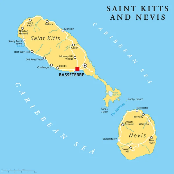
Saint Kitts and Nevis political map with capital Basseterre is a two-island country in the West Indies, located in the Leeward Islands. English labeling and scaling. Illustration.
Saint Kitts and Nevis Political Map — Stock Vector
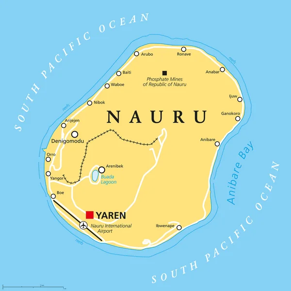
Nauru political map with de facto capital Yaren and important settlements. Republic in Micronesia in the Central Pacific. Island country, formerly known as Pleasant Island. English labeling.
Nauru Political Map — Stock Vector
Channel Islands, political map. The Crown Dependencies Bailiwick of Guernsey and Bailiwick of Jersey, an archipelago in the English Channel, off the coast of France. Remnants of the Duchy of Normandy.
Channel Islands Political Map Crown Dependencies Bailiwick Guernsey Bailiwick Jersey — Stock Vector
British Virgin Islands Political Map, a british overseas territory located between the Caribbean Sea and the Atlantic Ocean and part of the Virgin islands archipelago. English labeling and scaling. Illustration.
British Virgin Islands Political Map — Stock Vector
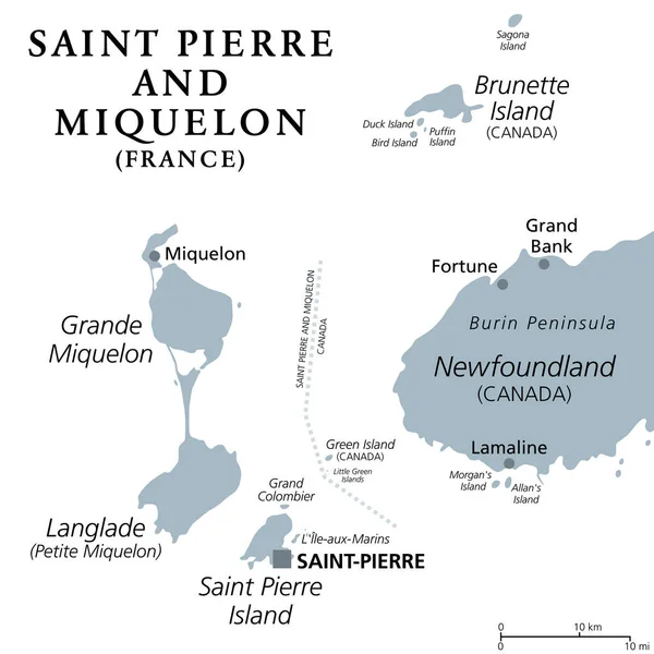
Saint Pierre and Miquelon, gray political map. Archipelago and self-governing territorial overseas collectivity of France in the North Atlantic, near Canadian province of Newfoundland and Labrador.
Saint Pierre Miquelon Gray Political Map Archipelago Self Governing Territorial — Stock Vector
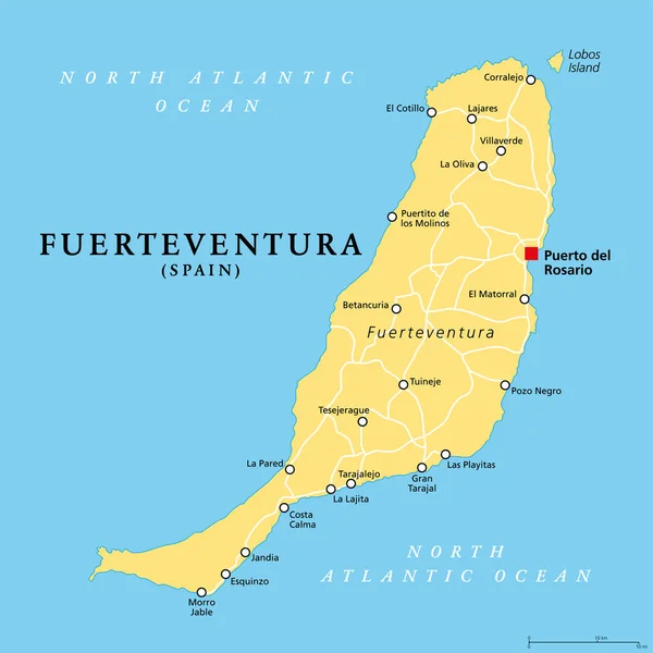
Fuerteventura island, political map, with capital Puerto del Rosario. One of the Canary Islands, an archipelago and autonomous community of Spain, in the North Atlantic Ocean, off the coast of Africa.
Fuerteventura Island Political Map Capital Puerto Del Rosario One Canary — Stock Vector
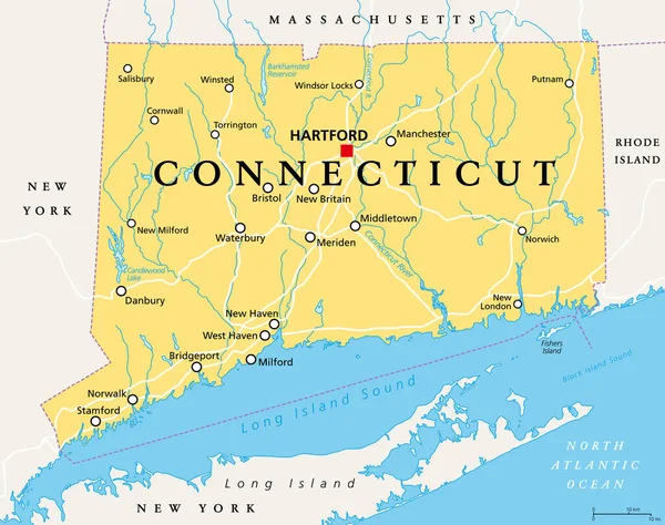
Connecticut, political map with capital Hartford. State of Connecticut, CT, the southernmost state in the New England region of the northeastern United States of America. English. Illustration. Vector
Connecticut Political Map Capital Hartford State Connecticut Southernmost State New — Stock Vector
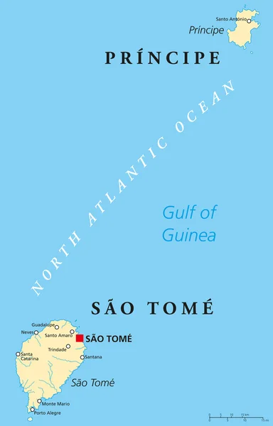
Sao Tome and Principe Political Map with capital Sao Tome. African island nation in the gulf of Guinea with two archipelagos. English labeling and scaling. Illustration.
Sao Tome and Principe Political Map — Stock Vector
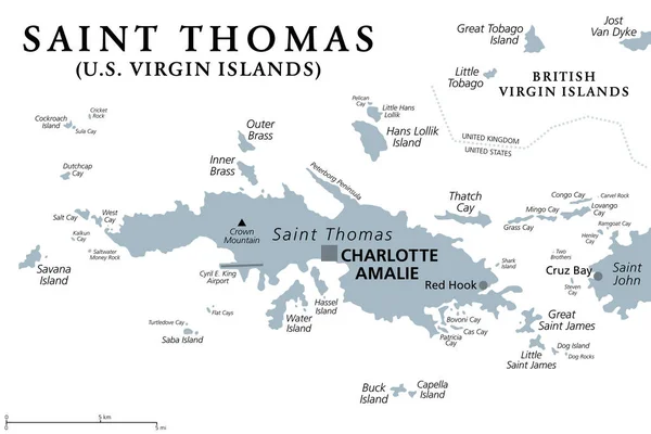
Saint Thomas, United States Virgin Islands, gray political map. One of the three largest islands of the USVI. The territorial capital and port of Charlotte Amalie is also located on the island. Vector
Saint Thomas United States Virgin Islands Gray Political Map One — Stock Vector
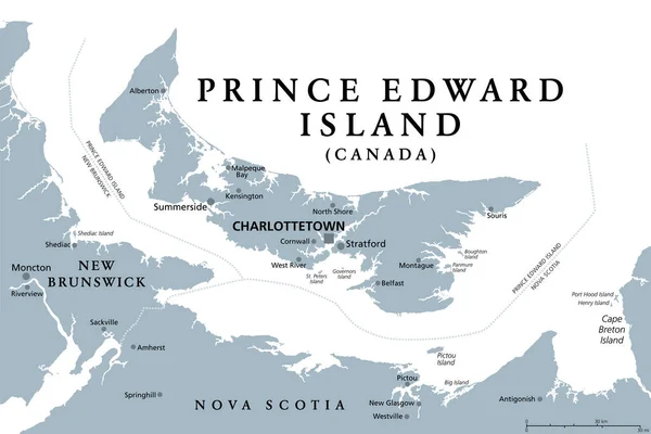
Prince Edward Island, Maritime and Atlantic province of Canada, gray political map. Known as The Island, in Gulf of St. Lawrence, bordering New Brunswick and Nova Scotia, with capital Charlottetown.
Prince Edward Island Maritime Atlantic Province Canada Gray Political Map — Stock Vector
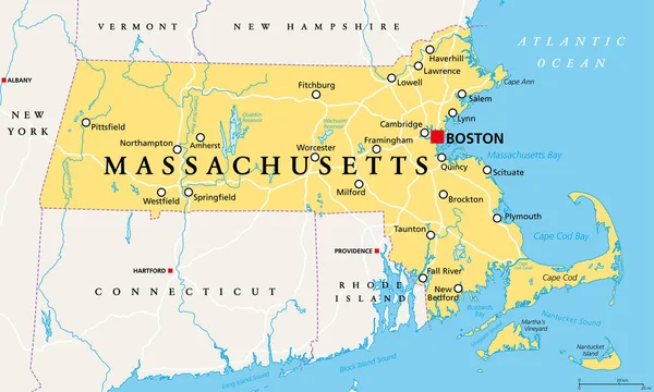
Massachusetts, political map with capital Boston. Commonwealth of Massachusetts, MA. Most populous state in the New England region of the United States. The Bay State. English. Illustration. Vector.
Massachusetts Political Map Capital Boston Commonwealth Massachusetts Most Populous State — Stock Vector
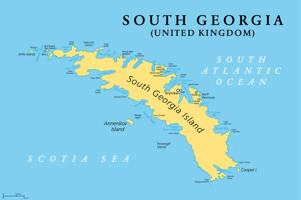
South Georgia, political map. Part of the British Overseas Territory of South Georgia and the South Sandwich Islands. Group of islands in the South Atlantic Ocean and Scotia Sea. Illustration. Vector.
South Georgia Political Map Part British Overseas Territory South Georgia — Stock Vector
Grenada political map with capital St. Georges. Island Country and part of the Windward Islands and Lesser Antilles in the Caribbean Sea. English labeling and scaling. Illustration.
Grenada Political Map — Stock Vector
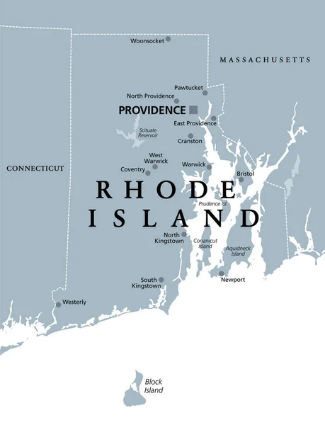
Rhode Island, political map with capital Providence. State of Rhode Island and Providence Plantations, RI, in the New England region of United States of America. Gray illustration, over white. Vector.
Rhode Island Political Map Capital Providence State Rhode Island Providence — Stock Vector
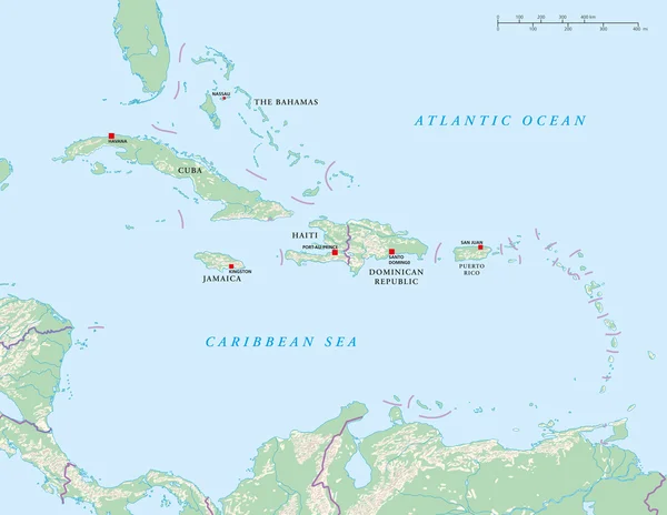
Political map of Craibbean Islands with capitals, national borders, rivers and lakes. Vector illustration with english labeling and scale.
Caribbean Islands Political Map — Stock Vector
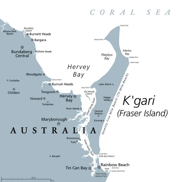
K'gari, formerly Fraser Island, gray political map. Worlds largest sand island along the coast of Queensland, Australia, with 75-Mile-Beach. Inhabited for at least 5000 years by Aboriginal Australians.
Gari Formerly Fraser Island Gray Political Map Worlds Largest Sand — Stock Vector

Similar Stock Videos:
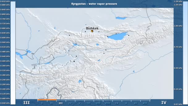
Water vapor pressure by month in the Kyrgyzstan area with animated legend - English labels: country and capital names, map description. Stereographic projection
Water Vapor Pressure Month Kyrgyzstan Area Animated Legend English Labels — Stock Video
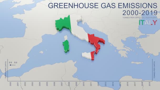
Greenhouse gas emissions in Italy from 2000 to 2019. Values in tonnes per capita (CO2 equivalent). Source data: Eurostat. 3D rendering loop able video with 4K resolution.
Greenhouse Gas Emissions Italy 2000 2019 Values Tonnes Capita Co2 — Stock Video
India map highlighted in India flag colors and pin of country capital New Delhi, map with neighboring Asian countries.
India Map Highlighted India Flag Colors Pin Country Capital New — Stock Video
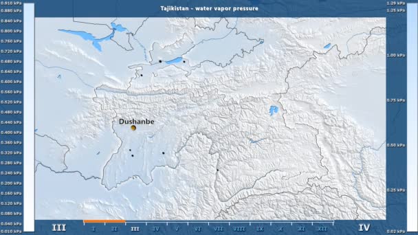
Water vapor pressure by month in the Tajikistan area with animated legend - English labels: country and capital names, map description. Stereographic projection
Water Vapor Pressure Month Tajikistan Area Animated Legend English Labels — Stock Video
Uzbekistan map highlighted in Uzbekistan flag colors and pin of country capital Tashkent, map with neighboring Asian countries.
Uzbekistan Map Highlighted Uzbekistan Flag Colors Pin Country Capital Tashkent — Stock Video
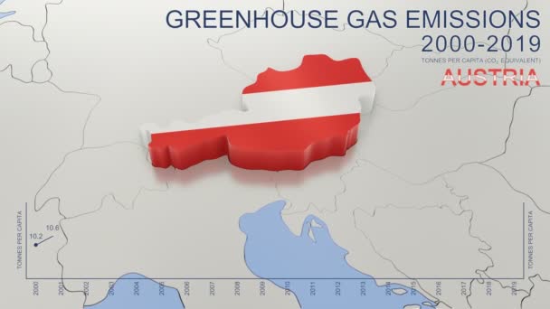
Greenhouse gas emissions in Austria from 2000 to 2019. Values in tonnes per capita (CO2 equivalent). Source data: Eurostat. 3D rendering loop able video with 4K resolution.
Greenhouse Gas Emissions Austria 2000 2019 Values Tonnes Capita Co2 — Stock Video
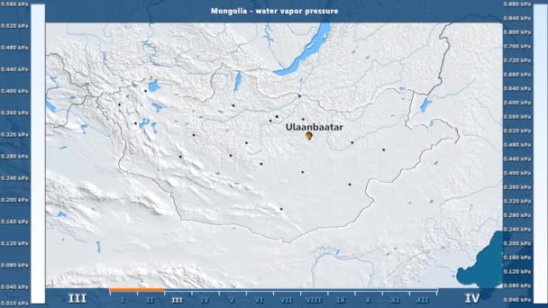
Water vapor pressure by month in the Mongolia area with animated legend - English labels: country and capital names, map description. Stereographic projection
Water Vapor Pressure Month Mongolia Area Animated Legend English Labels — Stock Video
Animated detailed map of Germany country
Animated detailed map of Germany — Stock Video
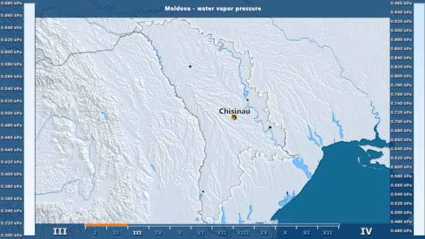
Water vapor pressure by month in the Moldova area with animated legend - English labels: country and capital names, map description. Stereographic projection
Water Vapor Pressure Month Moldova Area Animated Legend English Labels — Stock Video
Water vapor pressure by month in the Belgium area with animated legend - English labels: country and capital names, map description. Stereographic projection
Water Vapor Pressure Month Belgium Area Animated Legend English Labels — Stock Video
James Cook. great geographical discoveries. trip around the world
The great world tour - James Cook. — Stock Video
The division of Europe and Asia on the map. the city Ekaterinburg divides Europe and Asia. Eurasia on the map Animation. Eurasia. Yekaterinburg animation HD
The division of Europe and Asia on the map. the city Ekaterinburg divides Europe and Asia. Eurasia on the map Animation. Eurasia. Yekaterinburg animation — Stock Video
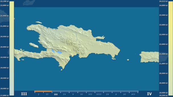
Solar radiation by month in the Dominican Republic area with animated legend - raw color shader. Stereographic projection
Solar Radiation Month Dominican Republic Area Animated Legend Raw Color — Stock Video
Luxembourg map highlighted in Luxembourg flag colors and pin of country capital Baku, map with neighboring European countries.
Luxembourg Map Highlighted Luxembourg Flag Colors Pin Country Capital Baku — Stock Video
North Macedonia map highlighted in Macedonia flag colors and pin of country capital Skopje, map with neighboring European countries.
North Macedonia Map Highlighted Macedonia Flag Colors Pin Country Capital — Stock Video
Suriname map highlighted in Suriname flag colors and pin of country capital Paramaribo, map with neighboring American countries.
Suriname Map Highlighted Suriname Flag Colors Pin Country Capital Paramaribo — Stock Video
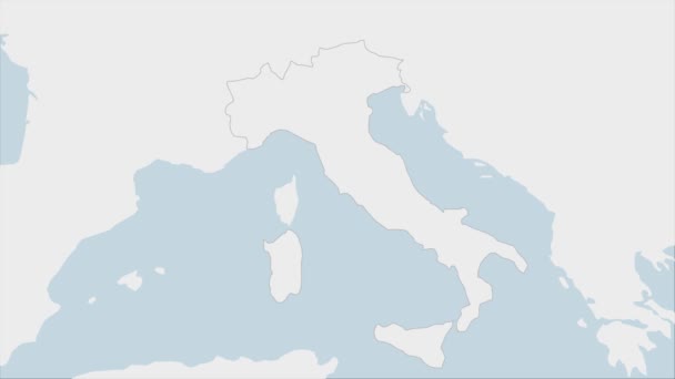
Italy map highlighted in Italy flag colors and pin of country capital Rome, map with neighboring European countries.
Italy Map Highlighted Italy Flag Colors Pin Country Capital Rome — Stock Video
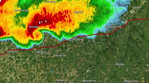
2016 Solomon/Abeline/Chapman, Kansas tornado event. Depicts radar imagery (reflectivity) taken by National Weather Service NEXRAD radar. There is an identical version WITH warning boxes available in our portfolio
2016 Solomon/Abilene/Chapman, KS Tornado Doppler Radar (Without Warn Boxes) — Stock Video

Usage Information

You can use this royalty-free vector image "Bermuda Political Map" for personal and commercial purposes according to the Standard or Extended License. The Standard License covers most use cases, including advertising, UI designs, and product packaging, and allows up to 500,000 print copies. The Extended License permits all use cases under the Standard License with unlimited print rights and allows you to use the downloaded vector files for merchandise, product resale, or free distribution.

This stock vector image is scalable to any size. You can buy and download it in high resolution up to 7823x6000. Upload Date: Jun 2, 2015