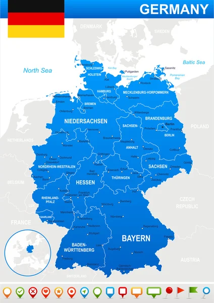
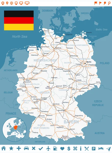
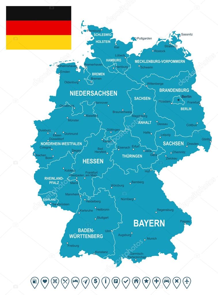
Germany map, flag and navigation labels - illustration. — Stock Vector

Germany map, flag and navigation labels - illustration. — Vector

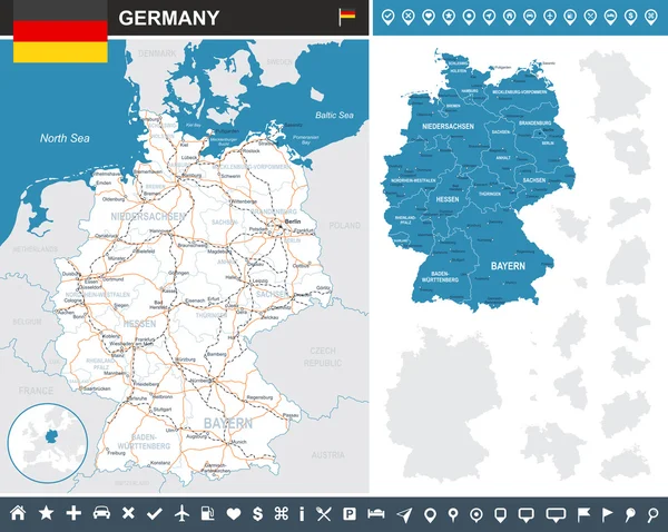
Map of Germany and flag - highly detailed vector illustration. Image contains land contours, country and land names, city names, flag, navigation icons.

 — Vector by dikobrazik

Same Series:

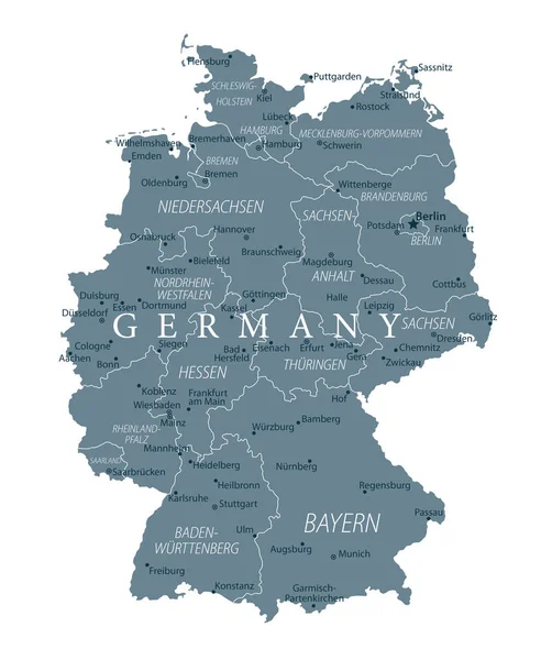
Germany Map - Grayscale - detailed vector illustration
Germany Map Grayscale Detailed Vector Illustration — Stock Vector
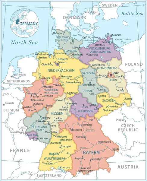
Map of Germany and flag - highly detailed vector illustration. Image contains land contours, country and land names, city names, water object names, flag, navigation icons.
Germany map, flag and navigation icons - illustration. — Stock Vector
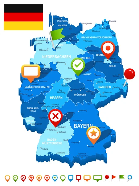
Map of Germany and flag - highly detailed vector illustration. Image contains land contours, country and land names, city names, water object names, flag, navigation icons.
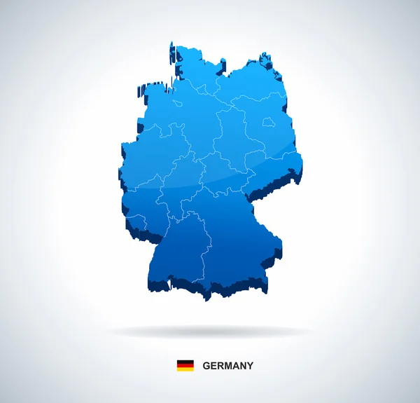
Germany map 3D, flag and navigation icons - illustration. — Stock Vector
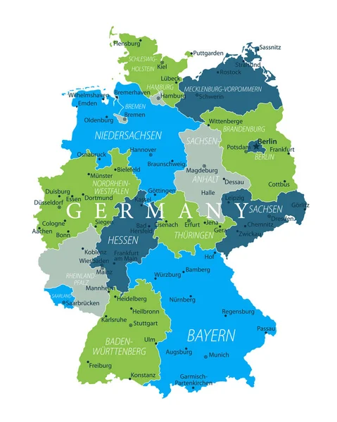
Germany Map - Blue Green Gray Isolated on White - detailed vector illustration
Germany Map Blue Green Gray Isolated White Detailed Vector Illustration — Stock Vector
Map of Germany and flag - highly detailed vector illustration. Image contains land contours, country and land names, city names, water objects, flag, navigation icons, roads, railways.
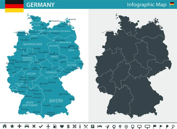
Germany infographic map - illustration. — Stock Vector
Map of Germany and flag - highly detailed vector illustration. Image contains land contours, country and land names, city names, water object names, flag, navigation icons, roads, railways, rivers.
Germany map, flag, navigation icons, roads, rivers - illustration. — Stock Vector
Germany Map - Icons - detailed vector illustration
Germany Map Icons Detailed Vector Illustration — Stock Vector
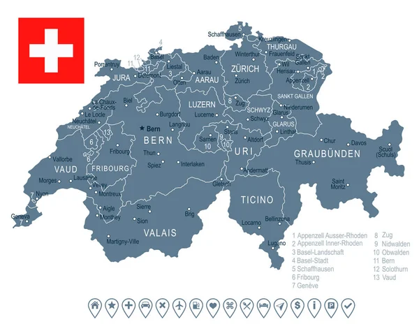
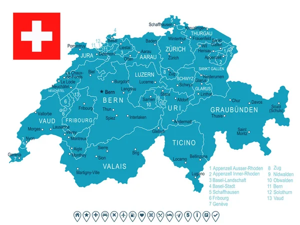
Switzerland map and flag - highly detailed vector illustration
Switzerland- map and flag illustration — Stock Vector
Germany Map - White and Grid - detailed vector illustration
Germany Map White Grid Detailed Vector Illustration — Stock Vector
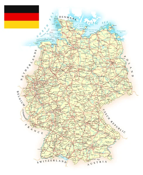
Map contains topographic contours, country and land names, cities, water objects, roads, railways.
Germany - detailed map - illustration. — Stock Vector
Map of Germany - 3D illustration.
Germany map - three-dimensional vector illustration. — Stock Vector
Germany Flag Country Contour Vector Icon - Illustration
Germany Flag Country Contour Vector Icon — Stock Vector
Germany map - high details vector illustration
Germany Map High Details Vector Illustration — Stock Vector
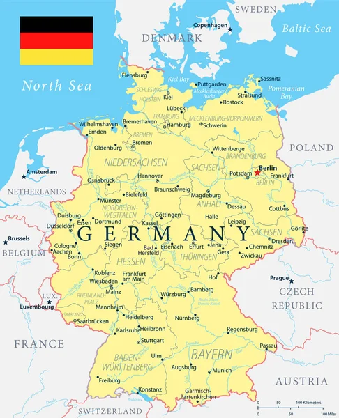
Map of Germany and flag - highly detailed vector illustration. Image contains land contours, country and land names, city names, water object names, flag, navigation icons, roads, railways.
Germany map, flag, navigation labels, roads - illustration. — Stock Vector
Germany Map - Yellow - detailed vector illustration
Germany Map Yellow Detailed Vector Illustration — Stock Vector
Switzerland map and flag - highly detailed vector illustration
Switzerland - map and flag illustration — Stock Vector

Similar Stock Videos:

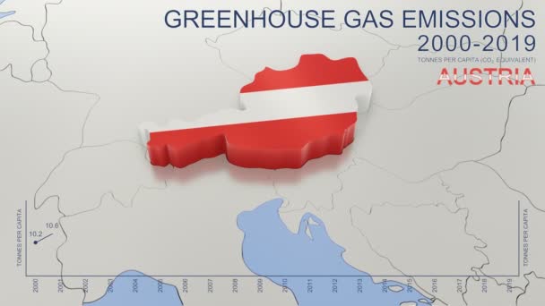
Greenhouse gas emissions in Austria from 2000 to 2019. Values in tonnes per capita (CO2 equivalent). Source data: Eurostat. 3D rendering loop able video with 4K resolution.
Greenhouse Gas Emissions Austria 2000 2019 Values Tonnes Capita Co2 — Stock Video
India map highlighted in India flag colors and pin of country capital New Delhi, map with neighboring Asian countries.
India Map Highlighted India Flag Colors Pin Country Capital New — Stock Video
Uzbekistan map highlighted in Uzbekistan flag colors and pin of country capital Tashkent, map with neighboring Asian countries.
Uzbekistan Map Highlighted Uzbekistan Flag Colors Pin Country Capital Tashkent — Stock Video
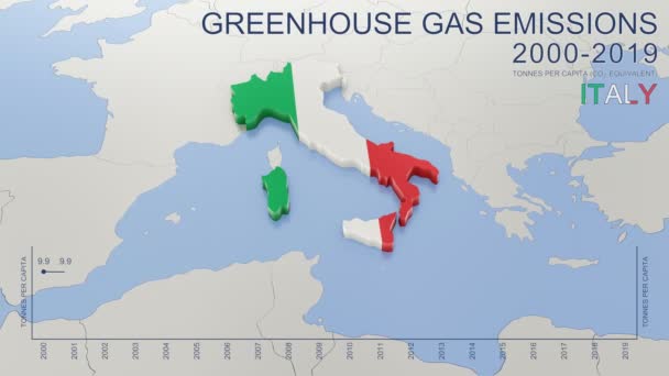
Greenhouse gas emissions in Italy from 2000 to 2019. Values in tonnes per capita (CO2 equivalent). Source data: Eurostat. 3D rendering loop able video with 4K resolution.
Greenhouse Gas Emissions Italy 2000 2019 Values Tonnes Capita Co2 — Stock Video
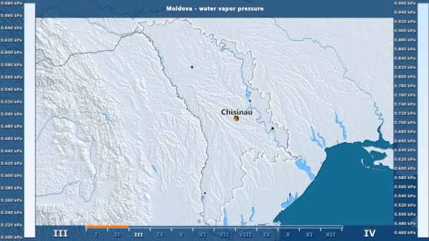
Water vapor pressure by month in the Moldova area with animated legend - English labels: country and capital names, map description. Stereographic projection
Water Vapor Pressure Month Moldova Area Animated Legend English Labels — Stock Video
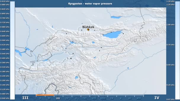
Water vapor pressure by month in the Kyrgyzstan area with animated legend - English labels: country and capital names, map description. Stereographic projection
Water Vapor Pressure Month Kyrgyzstan Area Animated Legend English Labels — Stock Video
Water vapor pressure by month in the Belgium area with animated legend - English labels: country and capital names, map description. Stereographic projection
Water Vapor Pressure Month Belgium Area Animated Legend English Labels — Stock Video
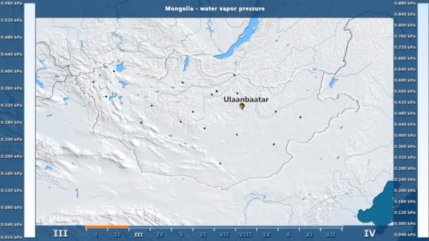
Water vapor pressure by month in the Mongolia area with animated legend - English labels: country and capital names, map description. Stereographic projection
Water Vapor Pressure Month Mongolia Area Animated Legend English Labels — Stock Video
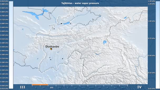
Water vapor pressure by month in the Tajikistan area with animated legend - English labels: country and capital names, map description. Stereographic projection
Water Vapor Pressure Month Tajikistan Area Animated Legend English Labels — Stock Video
Animated detailed map of Germany country
Animated detailed map of Germany — Stock Video
James Cook. great geographical discoveries. trip around the world
The great world tour - James Cook. — Stock Video
The division of Europe and Asia on the map. the city Ekaterinburg divides Europe and Asia. Eurasia on the map Animation. Eurasia. Yekaterinburg animation HD
The division of Europe and Asia on the map. the city Ekaterinburg divides Europe and Asia. Eurasia on the map Animation. Eurasia. Yekaterinburg animation — Stock Video
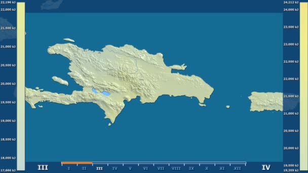
Solar radiation by month in the Dominican Republic area with animated legend - raw color shader. Stereographic projection
Solar Radiation Month Dominican Republic Area Animated Legend Raw Color — Stock Video
North Macedonia map highlighted in Macedonia flag colors and pin of country capital Skopje, map with neighboring European countries.
North Macedonia Map Highlighted Macedonia Flag Colors Pin Country Capital — Stock Video
Italy map highlighted in Italy flag colors and pin of country capital Rome, map with neighboring European countries.
Italy Map Highlighted Italy Flag Colors Pin Country Capital Rome — Stock Video
Suriname map highlighted in Suriname flag colors and pin of country capital Paramaribo, map with neighboring American countries.
Suriname Map Highlighted Suriname Flag Colors Pin Country Capital Paramaribo — Stock Video
Canada map highlighted in Canada flag colors and pin of country capital Ottawa, map with neighboring American countries.
Canada Map Highlighted Canada Flag Colors Pin Country Capital Ottawa — Stock Video
Sweden map highlighted in Sweden flag colors and pin of country capital Stockholm, map with neighboring European countries.
Sweden Map Highlighted Sweden Flag Colors Pin Country Capital Stockholm — Stock Video

Usage Information

You can use this royalty-free vector image "Germany map, flag and navigation labels - illustration." for personal and commercial purposes according to the Standard or Extended License. The Standard License covers most use cases, including advertising, UI designs, and product packaging, and allows up to 500,000 print copies. The Extended License permits all use cases under the Standard License with unlimited print rights and allows you to use the downloaded vector files for merchandise, product resale, or free distribution.

This stock vector image is scalable to any size. You can buy and download it in high resolution up to 5400x7296. Upload Date: Jul 16, 2015