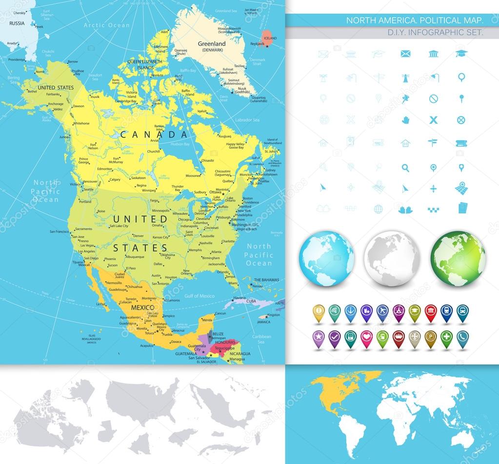
North America detailed political map — Stock Vector

North America detailed political map — Vector

North America detailed political map. D.I.Y.infographic set.All elements are separated in editable layers clearly labeled. All layers are subscribed.

 — Vector by Livenart

Same Series:

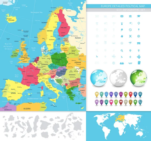
Europe detailed political map. D.I.Y.infographic set.All elements are separated in editable layers clearly labeled. All layers are subscribed.
Europe detailed political map — Stock Vector
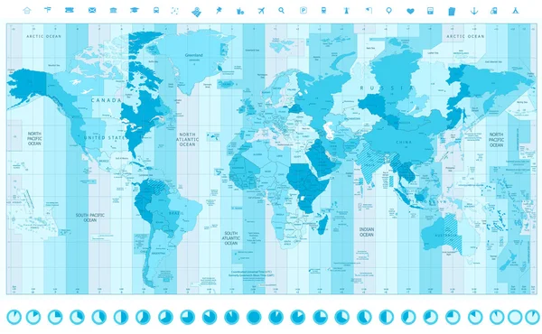
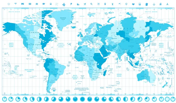
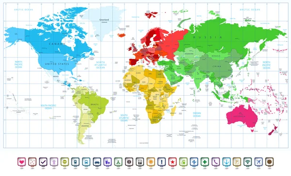
World Map with Standard Time Zones soft tints of blue with clock icons
World Map with Standard Time Zones soft tints of blue with clock — Stock Vector
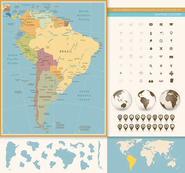
South America Map Detailed with Navigation Icon Set. Vintage Colors. All elements are separated in editable layers clearly labeled.
South America Map Detailed with Navigation Icon Set. Vintage Col — Stock Vector
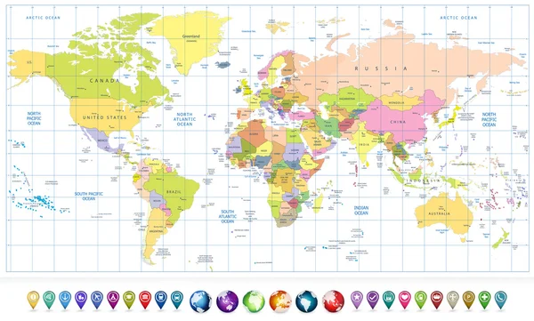
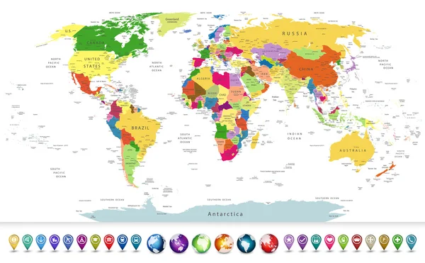
Colored political World Map and 3D globes with navigation icons isolated on white.All elements are separated in editable layers clearly labeled.
Colored political World Map and 3D globes with navigation icons — Stock Vector
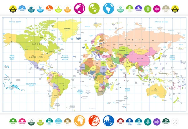
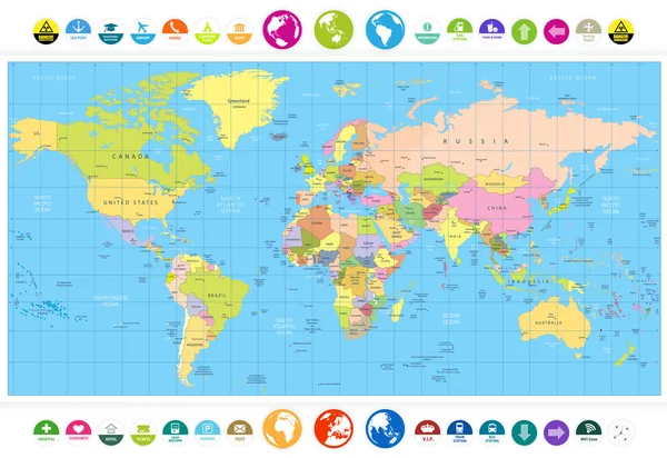
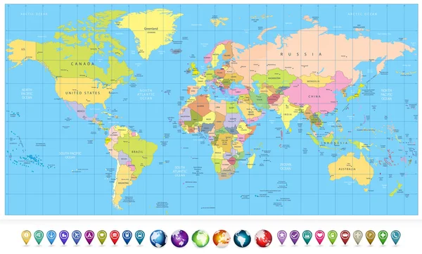
Colored political World Map with round flat icons and globes isolated on white.All elements are separated in editable layers clearly labeled.
Colored political World Map with round flat icons and globes iso — Stock Vector
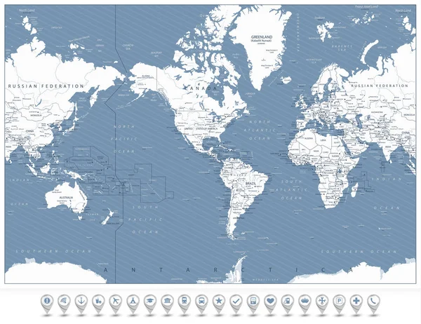
America Centered World Map and infographic elements. Detailed vector illustration of map.
America Centered World Map Infographic Elements Detailed Vector Illustration Map — Stock Vector
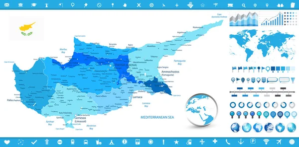
Cyprus Map and infographic elements. Detailed vector illustration of Cyprus map and infographic elements.
Cyprus Map Infographic Elements Detailed Vector Illustration Cyprus Map Infographic — Stock Vector
Colored political World Map with round flat icons and globes.All elements are separated in editable layers clearly labeled.
Colored political World Map with round flat icons and globes — Stock Vector
World Map with Standard Time Zones soft tints of blue and clock icons isolated on white
World Map with Standard Time Zones soft tints of blue and clock — Stock Vector
Highly detailed political world map with a 3D globes and navigation icons
Highly detailed political world map with a glossy navigation set — Stock Vector
Colored political World Map and 3D globes with navigation icons.All elements are separated in editable layers clearly labeled.
Colored political World Map and 3D globes with navigation icons — Stock Vector
World Map blue colors and infographic elements. Detailed vector illustration of map.
World Map Blue Colors Infographic Elements Detailed Vector Illustration Map — Stock Vector
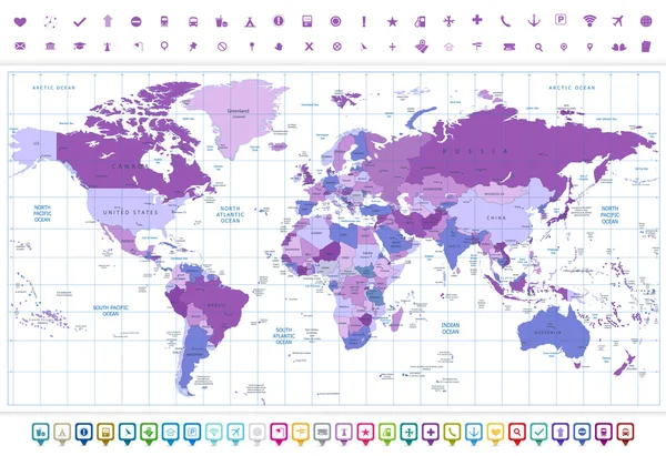
World Map Violet colors and flat navigation icon set. All elements are separated in editable layers clearly labeled.
World Map Violet colors and flat navigation icon set — Stock Vector
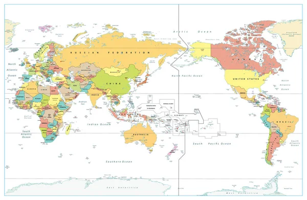
Pacific Centered World Colored Map Isolated on white. Countries and capitals, cities, borders and water objects, state outline. Detailed World Map vector illustration.
Pacific Centered World Colored Map Isolated White Countries Capitals Cities — Stock Vector
America Centered World Map and 3D navigation icons. Highly detailed vector illustration of World Map with America in center.
America Centered World Map and 3D navigation icons — Stock Vector
World Map spotted colors and 3D map pointers. All elements are separated in editable layers clearly labeled.
World Map spotted colors and 3D map pointers — Stock Vector

Similar Stock Videos:
Outbreak of infection in Italy and air travel. coronavirus. 3D rendering
Outbreak Infection Italy Air Travel Coronavirus Rendering — Stock Video
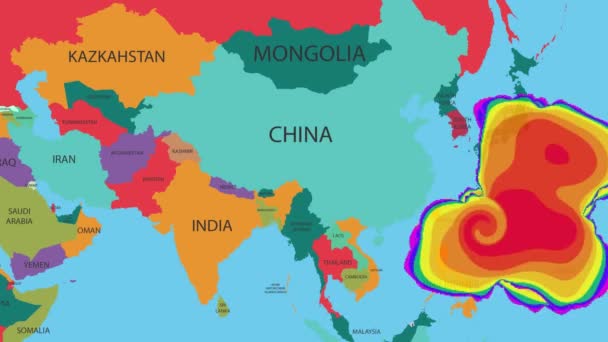
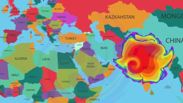
Hurricane or windstorm forecast animation on world map as seen on weather radar and satellite screen. A weather map tracks Hurricane on world map.
Hurricane Windstorm Forecast Animation World Map Seen Weather Radar Satellite — Stock Video
The division of Europe and Asia on the map. the city Ekaterinburg divides Europe and Asia. Eurasia on the map Animation. Eurasia. Yekaterinburg animation HD
The division of Europe and Asia on the map. the city Ekaterinburg divides Europe and Asia. Eurasia on the map Animation. Eurasia. Yekaterinburg animation — Stock Video
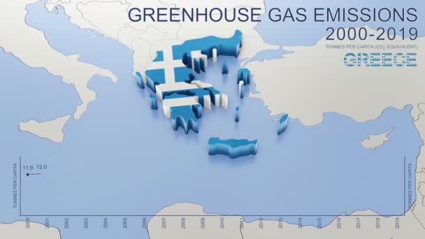
Greenhouse gas emissions in Greece from 2000 to 2019. Values in tonnes per capita (CO2 equivalent). Source data: Eurostat. 3D rendering loop able video with 4K resolution.
Greenhouse Gas Emissions Greece 2000 2019 Values Tonnes Capita Co2 — Stock Video
Outbreak of infection in Italy and air travel. coronavirus. 3D rendering
Outbreak Infection Italy Air Travel Coronavirus Rendering — Stock Video
World map, Island travel. Beach Tour, Flying airplane, illustration animation, vacation.
World map, Island travel. Beach Tour, Flying airplane, illustration animation, vacation. — Stock Video
Globe hand draw on white background
Globe hand draw — Stock Video
A world map and connection line all over the world
A growing network across the world — Stock Video
World map travel. Tour, Flying airplane, illustration animation, vacation.
World map travel. Tour, Flying airplane, illustration animation, vacation. — Stock Video
World map with destionations pins High Definition colorful animation scenes
Travel around the world HD animation — Stock Video
Soft colors of mountains and forests. Map of New York. Zoom from a world map to a map of New York. 4K FHD 60 fps animation.
Soft colors of mountains and forests. Map of New York. World map. Map of the USA. Zoom from a world map to a map of New York. Zoom from USA map to New York map. 4K FHD 60 fps animation. — Stock Video
A weather map tracks Hurricane on world map.
Hurricane or windstorm forecast animation on world map as seen on weather radar and satellite screen. A weather map tracks Hurricane on world map. — Stock Video
Screen scanning - world map
Vector Boats - Worldwide - Trees growing - map of the world - white background - purple continent - Below View — Stock Video
Wisconsin State of USA. Animated map of USA showing the state of Wisconsin. United States of America. Neumorphism minimal style.
Wisconsin State of USA. Animated map of USA showing the state of Wisconsin. United States of America. Neumorphism minimal style — Stock Video
World map isolated on white
World map — Stock Video
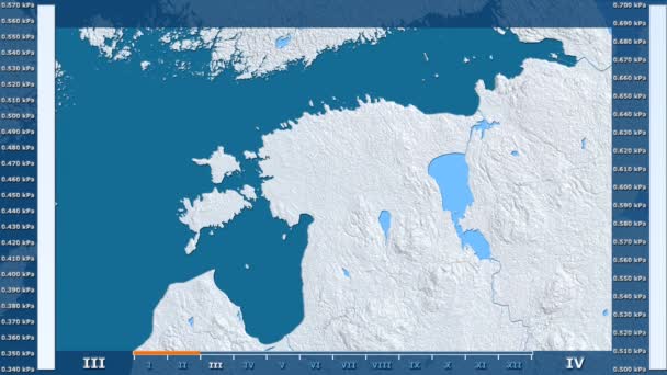
Water vapor pressure by month in the Estonia area with animated legend - raw color shader. Stereographic projection
Water Vapor Pressure Month Estonia Area Animated Legend Raw Color — Stock Video
Greenhouse gas emissions in France from 2000 to 2019. Values in tonnes per capita (CO2 equivalent). Source data: Eurostat. 3D rendering loop able video with 4K resolution.
Greenhouse Gas Emissions France 2000 2019 Values Tonnes Capita Co2 — Stock Video
Screen scanning - world map
Vector Boats - Worldwide - Trees growing - map of the world - white background - red continent - above View — Stock Video

Usage Information

You can use this royalty-free vector image "North America detailed political map" for personal and commercial purposes according to the Standard or Extended License. The Standard License covers most use cases, including advertising, UI designs, and product packaging, and allows up to 500,000 print copies. The Extended License permits all use cases under the Standard License with unlimited print rights and allows you to use the downloaded vector files for merchandise, product resale, or free distribution.

This stock vector image is scalable to any size. You can buy and download it in high resolution up to 8192x7620. Upload Date: Sep 15, 2015