Northern Bahr Ghazal State South Sudan Elevation Map Colored Wiki — Foto de Stock

Northern Bahr-el-Ghazal, state of South Sudan. Elevation map colored in wiki style with lakes and rivers. Locations and names of major cities of the region. Corner auxiliary location maps — Fotografía de stock del banco de imágenes libres de derechos

Northern Bahr-el-Ghazal, state of South Sudan. Elevation map colored in wiki style with lakes and rivers. Locations and names of major cities of the region. Corner auxiliary location maps

 — Foto de Yarr65

Misma serie:

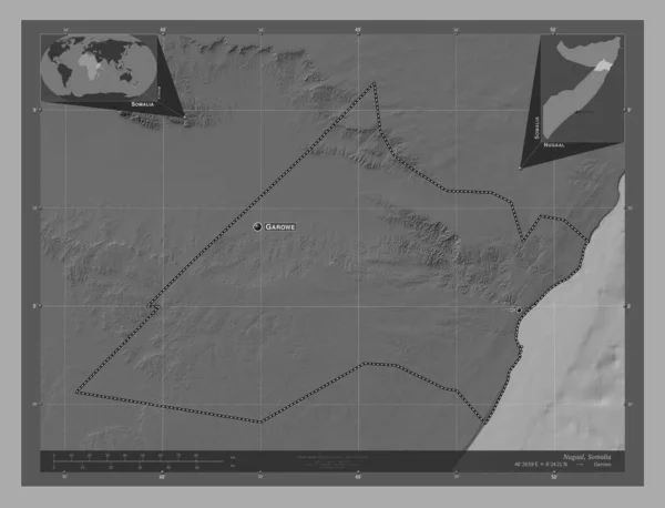
Nugaal, region of Somalia. Bilevel elevation map with lakes and rivers. Locations and names of major cities of the region. Corner auxiliary location maps
Nugaal Region Somalia Bilevel Elevation Map Lakes Rivers Locations Names — Foto de Stock
Northern Bahr-el-Ghazal, state of South Sudan. Bilevel elevation map with lakes and rivers. Locations and names of major cities of the region. Corner auxiliary location maps
Northern Bahr Ghazal State South Sudan Bilevel Elevation Map Lakes — Foto de Stock
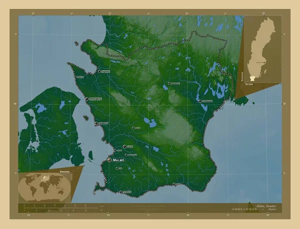
Skane, county of Sweden. Colored elevation map with lakes and rivers. Locations and names of major cities of the region. Corner auxiliary location maps
Skane County Sweden Colored Elevation Map Lakes Rivers Locations Names — Foto de Stock
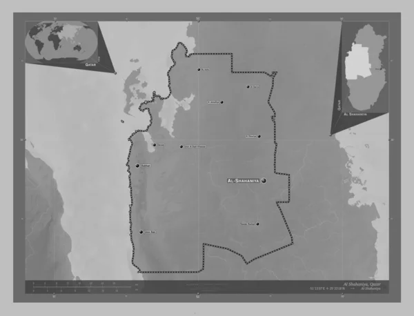
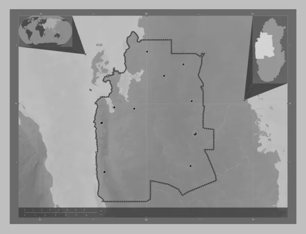
Al Shahaniya, municipality of Qatar. Grayscale elevation map with lakes and rivers. Locations and names of major cities of the region. Corner auxiliary location maps
Shahaniya Municipality Qatar Grayscale Elevation Map Lakes Rivers Locations Names — Foto de Stock
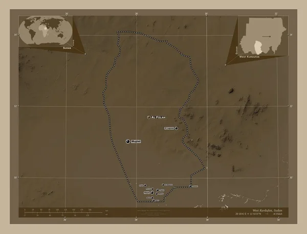
West Kurdufan, state of Sudan. Elevation map colored in sepia tones with lakes and rivers. Locations and names of major cities of the region. Corner auxiliary location maps
West Kurdufan State Sudan Elevation Map Colored Sepia Tones Lakes — Foto de Stock
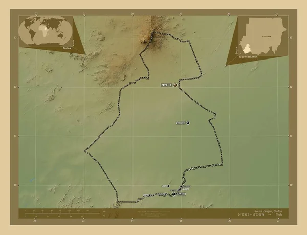
South Darfur, state of Sudan. Colored elevation map with lakes and rivers. Locations and names of major cities of the region. Corner auxiliary location maps
South Darfur State Sudan Colored Elevation Map Lakes Rivers Locations — Foto de Stock
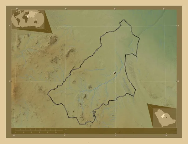
Al Qasim, region of Saudi Arabia. Colored elevation map with lakes and rivers. Corner auxiliary location maps
Qasim Region Saudi Arabia Colored Elevation Map Lakes Rivers Corner — Foto de Stock
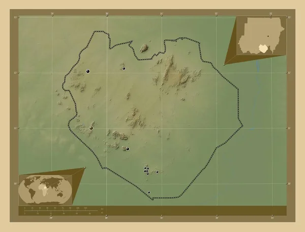
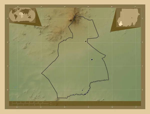
South Kurdufan, state of Sudan. Colored elevation map with lakes and rivers. Locations of major cities of the region. Corner auxiliary location maps
South Kurdufan State Sudan Colored Elevation Map Lakes Rivers Locations — Foto de Stock
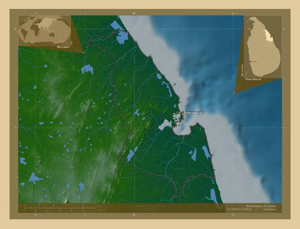
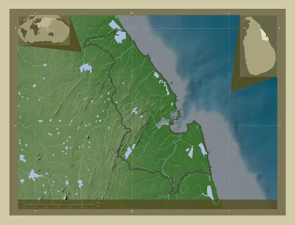
Trincomalee, district of Sri Lanka. Colored elevation map with lakes and rivers. Locations and names of major cities of the region. Corner auxiliary location maps
Trincomalee District Sri Lanka Colored Elevation Map Lakes Rivers Locations — Foto de Stock
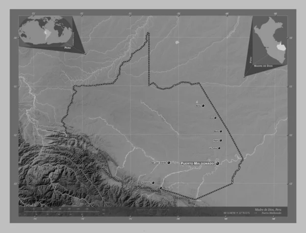
Madre de Dios, region of Peru. Grayscale elevation map with lakes and rivers. Locations and names of major cities of the region. Corner auxiliary location maps
Madre Dios Region Peru Grayscale Elevation Map Lakes Rivers Locations — Foto de Stock
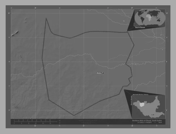
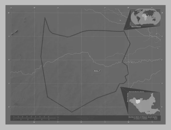
Northern Bahr-el-Ghazal, state of South Sudan. Grayscale elevation map with lakes and rivers. Locations and names of major cities of the region. Corner auxiliary location maps
Northern Bahr Ghazal State South Sudan Grayscale Elevation Map Lakes — Foto de Stock
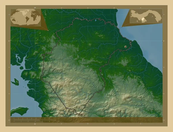
Herrera, province of Panama. Colored elevation map with lakes and rivers. Corner auxiliary location maps
Herrera Province Panama Colored Elevation Map Lakes Rivers Corner Auxiliary — Foto de Stock
South Darfur, state of Sudan. Colored elevation map with lakes and rivers. Locations of major cities of the region. Corner auxiliary location maps
South Darfur State Sudan Colored Elevation Map Lakes Rivers Locations — Foto de Stock
Al Shahaniya, municipality of Qatar. Grayscale elevation map with lakes and rivers. Locations of major cities of the region. Corner auxiliary location maps
Shahaniya Municipality Qatar Grayscale Elevation Map Lakes Rivers Locations Major — Foto de Stock
Trincomalee, district of Sri Lanka. Elevation map colored in wiki style with lakes and rivers. Corner auxiliary location maps
Trincomalee District Sri Lanka Elevation Map Colored Wiki Style Lakes — Foto de Stock
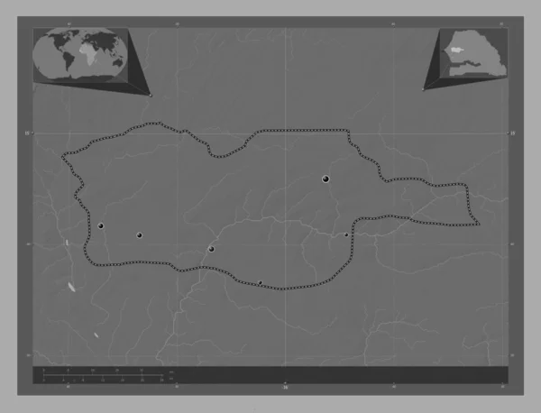
Diourbel, region of Senegal. Bilevel elevation map with lakes and rivers. Locations of major cities of the region. Corner auxiliary location maps
Diourbel Region Senegal Bilevel Elevation Map Lakes Rivers Locations Major — Foto de Stock

Información de uso

Puede usar esta foto sin royalties "Northern Bahr-el-Ghazal, state of South Sudan. Elevation map colored in wiki style with lakes and rivers. Locations and names of major cities of the region. Corner auxiliary location maps" para fines personales y comerciales de acuerdo con las licencias Estándar o Ampliada. La licencia Estándar cubre la mayoría de los casos de uso, incluida la publicidad, los diseños de interfaz de usuario y el embalaje de productos, y permite hasta 500.000 copias impresas. La licencia Ampliada permite todos los casos de uso bajo la licencia Estándar con derechos de impresión ilimitados, y le permite utilizar las imágenes descargadas para merchandising, reventa de productos o distribución gratuita.

Puede comprar esta foto de stock y descargarla en alta resolución hasta 4930x3770. Fecha de carga: 23 feb 2023