Baghlan Province Afghanistan Elevation Map Colored Sepia Tones Lakes Rivers — Photo

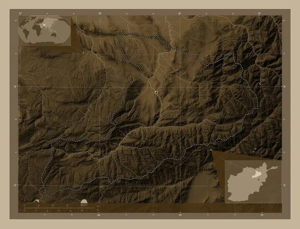
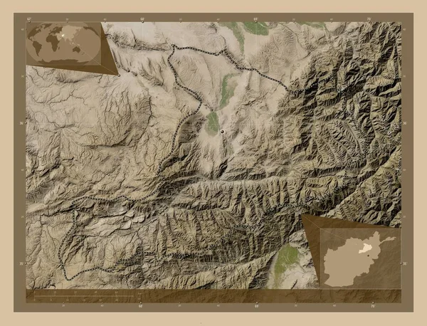
Baghlan, province of Afghanistan. Elevation map colored in sepia tones with lakes and rivers. Locations of major cities of the region. Corner auxiliary location maps — Image libre de droits

Baghlan, province of Afghanistan. Elevation map colored in sepia tones with lakes and rivers. Locations of major cities of the region. Corner auxiliary location maps

 — Image de Yarr65

Même série:

Baghlan, province of Afghanistan. Elevation map colored in sepia tones with lakes and rivers. Corner auxiliary location maps
Baghlan Province Afghanistan Elevation Map Colored Sepia Tones Lakes Rivers — Photo
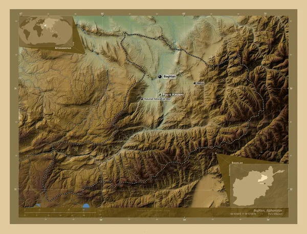
Baghlan, province of Afghanistan. Colored elevation map with lakes and rivers. Locations and names of major cities of the region. Corner auxiliary location maps
Baghlan Province Afghanistan Colored Elevation Map Lakes Rivers Locations Names — Photo
Badghis, province of Afghanistan. Elevation map colored in wiki style with lakes and rivers. Locations and names of major cities of the region. Corner auxiliary location maps
Badghis Province Afghanistan Elevation Map Colored Wiki Style Lakes Rivers — Photo
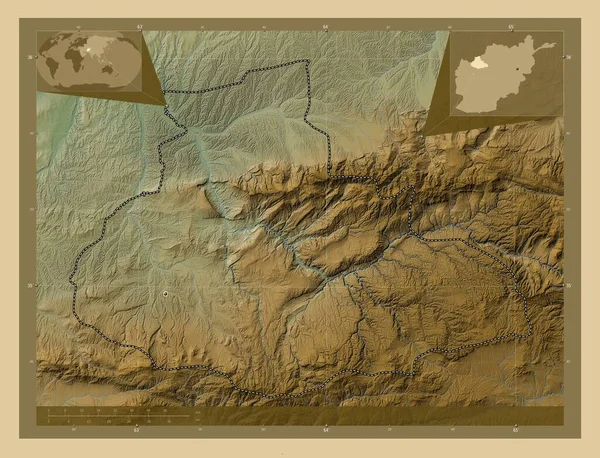
Badghis, province of Afghanistan. Colored elevation map with lakes and rivers. Corner auxiliary location maps
Badghis Province Afghanistan Colored Elevation Map Lakes Rivers Corner Auxiliary — Photo
Badghis, province of Afghanistan. Colored elevation map with lakes and rivers. Locations of major cities of the region. Corner auxiliary location maps
Badghis Province Afghanistan Colored Elevation Map Lakes Rivers Locations Major — Photo
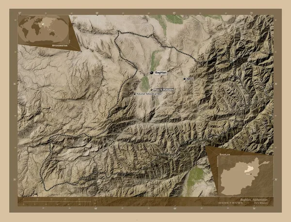
Baghlan, province of Afghanistan. Low resolution satellite map. Locations and names of major cities of the region. Corner auxiliary location maps
Baghlan Province Afghanistan Low Resolution Satellite Map Locations Names Major — Photo
Baghlan, province of Afghanistan. Low resolution satellite map. Locations of major cities of the region. Corner auxiliary location maps
Baghlan Province Afghanistan Low Resolution Satellite Map Locations Major Cities — Photo
Baghlan, province of Afghanistan. Low resolution satellite map. Corner auxiliary location maps
Baghlan Province Afghanistan Low Resolution Satellite Map Corner Auxiliary Location — Photo
Forme du Brandebourg, état d'Allemagne, avec sa capitale isolée sur un fond de couleur unie. Imagerie satellite. rendu 3D
Forme Brandebourg État Allemagne Avec Capitale Isolée Sur Fond Couleur — Photo
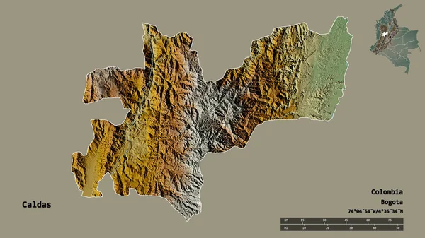
Forme de Caldas, département de la Colombie, avec sa capitale isolée sur un fond solide. Échelle de distance, aperçu de la région et étiquettes. Carte topographique de relief. rendu 3D
Forme Caldas Département Colombie Avec Capitale Isolée Sur Fond Solide — Photo
Baghlan, province of Afghanistan. High resolution satellite map. Locations and names of major cities of the region. Corner auxiliary location maps
Baghlan Province Afghanistan High Resolution Satellite Map Locations Names Major — Photo
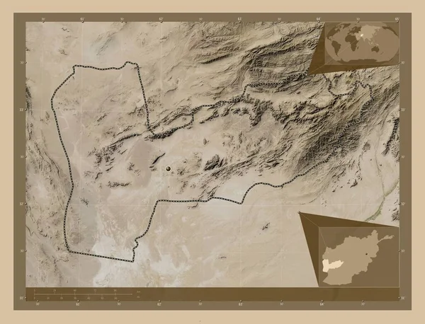
Farah, province of Afghanistan. Low resolution satellite map. Locations of major cities of the region. Corner auxiliary location maps
Farah Province Afghanistan Low Resolution Satellite Map Locations Major Cities — Photo
Baghlan, province of Afghanistan. High resolution satellite map. Corner auxiliary location maps
Baghlan Province Afghanistan High Resolution Satellite Map Corner Auxiliary Location — Photo
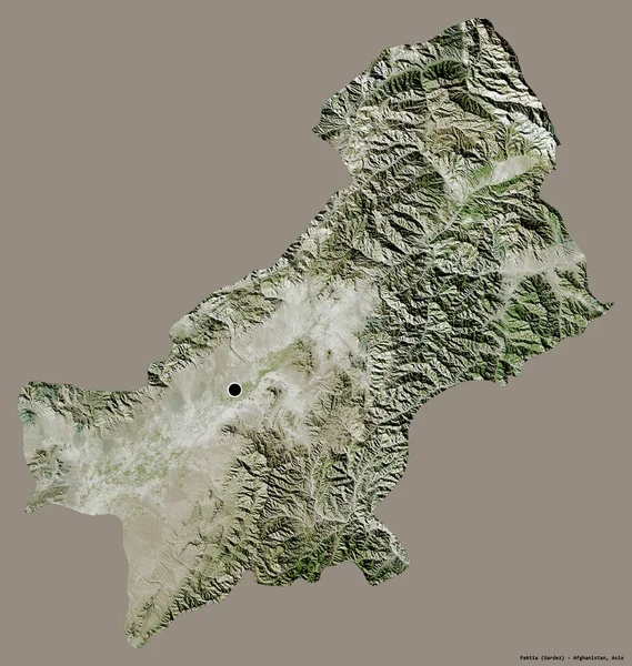
Forme de Paktia, province d'Afghanistan, avec sa capitale isolée sur un fond de couleur unie. Imagerie satellite. rendu 3D
Forme Paktia Province Afghanistan Avec Capitale Isolée Sur Fond Couleur — Photo
Forme de Santander, département de la Colombie, avec sa capitale isolée sur un fond de couleur unie. Imagerie satellite. rendu 3D
Forme Santander Département Colombie Avec Capitale Isolée Sur Fond Couleur — Photo
Farah, province of Afghanistan. High resolution satellite map. Locations of major cities of the region. Corner auxiliary location maps
Farah Province Afghanistan High Resolution Satellite Map Locations Major Cities — Photo

Informations d'utilisation

Vous pouvez utiliser cette photo libre de droits "Baghlan, province of Afghanistan. Elevation map colored in sepia tones with lakes and rivers. Locations of major cities of the region. Corner auxiliary location maps" à des fins personnelles et commerciales conformément à la licence Standard ou Étendue. La licence Standard couvre la plupart des cas d’utilisation, comprenant la publicité, les conceptions d’interface utilisateur et l’emballage de produits, et permet jusqu’à 500 000 copies imprimées. La licence Étendue autorise tous les cas d’utilisation sous la licence Standard avec des droits d’impression illimités et vous permet d’utiliser les images téléchargées pour la vente de marchandise, la revente de produits ou la distribution gratuite.

Vous pouvez acheter cette photo et la télécharger en haute définition jusqu’à 3400x2600. Date de l’upload: 27 août 2022