Cankuzo Province Burundi Satellite Imagery Shape Presented Its Country Area — Stock Photo, Image

Cankuzo, province of Burundi. Satellite imagery. Shape presented against its country area with informative overlays. 3D rendering — Photo

Cankuzo, province of Burundi. Satellite imagery. Shape presented against its country area with informative overlays. 3D rendering

 — Photo by Yarr65

Same Series:

Plateau-Central, region of Burkina Faso. Satellite imagery. Shape presented against its country area with informative overlays. 3D rendering
Plateau Central Region Burkina Faso Satellite Imagery Shape Presented Its — Stock Photo, Image
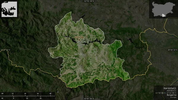
Kardzhali, province of Bulgaria. Satellite imagery. Shape presented against its country area with informative overlays. 3D rendering
Kardzhali Province Bulgaria Satellite Imagery Shape Presented Its Country Area — Stock Photo, Image
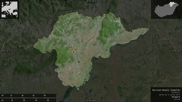
Borsod-Abaj-Zemplen , county of Hungary. Satellite imagery. Shape presented against its country area with informative overlays. 3D rendering
Borsod Abaj Zemplen County Hungary Satellite Imagery Shape Presented Its — Stock Photo, Image
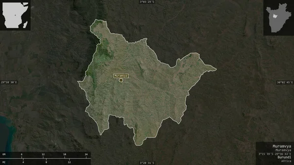
Muramvya, province of Burundi. Satellite imagery. Shape presented against its country area with informative overlays. 3D rendering
Muramvya Province Burundi Satellite Imagery Shape Presented Its Country Area — Stock Photo, Image
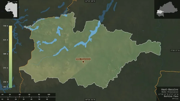
Haut-Bassins, region of Burkina Faso. Colored shader data with lakes and rivers. Shape presented against its country area with informative overlays. 3D rendering
Haut Bassins Region Burkina Faso Colored Shader Data Lakes Rivers — Stock Photo, Image
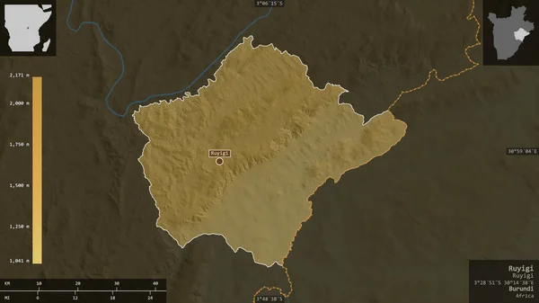
Ruyigi, province of Burundi. Colored shader data with lakes and rivers. Shape presented against its country area with informative overlays. 3D rendering
Ruyigi Province Burundi Colored Shader Data Lakes Rivers Shape Presented — Stock Photo, Image
Bas-Uele, province of Democratic Republic of the Congo. Colored shader data with lakes and rivers. Shape presented against its country area with informative overlays. 3D rendering
Bas Uele Province Democratic Republic Congo Colored Shader Data Lakes — Stock Photo, Image
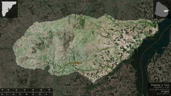
Treinta y Tres, department of Uruguay. Satellite imagery. Shape presented against its country area with informative overlays. 3D rendering
Treinta Tres Department Uruguay Satellite Imagery Shape Presented Its Country — Stock Photo, Image
Sud-Ubangi, province of Democratic Republic of the Congo. Colored shader data with lakes and rivers. Shape presented against its country area with informative overlays. 3D rendering
Sud Ubangi Province Democratic Republic Congo Colored Shader Data Lakes — Stock Photo, Image
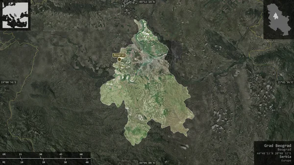
Grad Beograd, city of Serbia. Satellite imagery. Shape presented against its country area with informative overlays. 3D rendering
Grad Beograd City Serbia Satellite Imagery Shape Presented Its Country — Stock Photo, Image
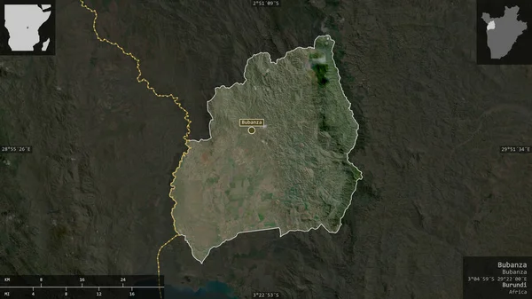
Bubanza, province of Burundi. Satellite imagery. Shape presented against its country area with informative overlays. 3D rendering
Bubanza Province Burundi Satellite Imagery Shape Presented Its Country Area — Stock Photo, Image
Savanes, district of Cote d'Ivoire. Colored relief with lakes and rivers. Shape presented against its country area with informative overlays. 3D rendering
Savanes District Cote Ivoire Colored Relief Lakes Rivers Shape Presented — Stock Photo, Image
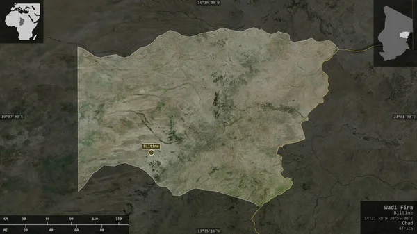
Wadi Fira, region of Chad. Satellite imagery. Shape presented against its country area with informative overlays. 3D rendering
Wadi Fira Region Chad Satellite Imagery Shape Presented Its Country — Stock Photo, Image
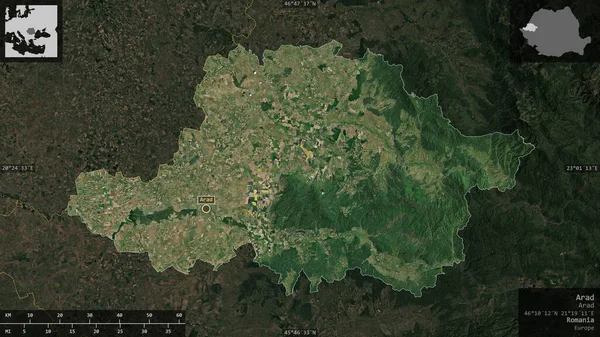
Arad, county of Romania. Satellite imagery. Shape presented against its country area with informative overlays. 3D rendering
Arad County Romania Satellite Imagery Shape Presented Its Country Area — Stock Photo, Image
Kratovo, municipality of Macedonia. Satellite imagery. Shape presented against its country area with informative overlays. 3D rendering
Kratovo Municipality Macedonia Satellite Imagery Shape Presented Its Country Area — Stock Photo, Image
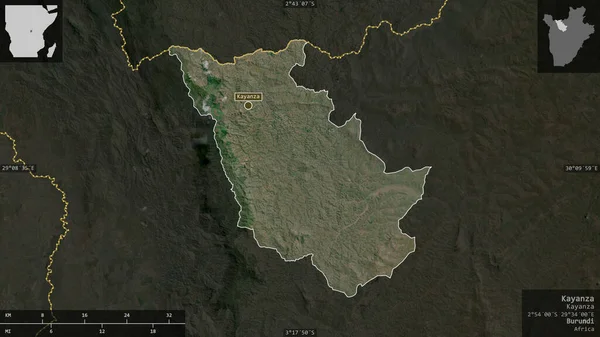
Kayanza, province of Burundi. Satellite imagery. Shape presented against its country area with informative overlays. 3D rendering
Kayanza Province Burundi Satellite Imagery Shape Presented Its Country Area — Stock Photo, Image

Usage Information

You can use this royalty-free photo "Cankuzo, province of Burundi. Satellite imagery. Shape presented against its country area with informative overlays. 3D rendering" for personal and commercial purposes according to the Standard or Extended License. The Standard License covers most use cases, including advertising, UI designs, and product packaging, and allows up to 500,000 print copies. The Extended License permits all use cases under the Standard License with unlimited print rights and allows you to use the downloaded stock images for merchandise, product resale, or free distribution.

You can buy this stock photo and download it in high resolution up to 2880x1620. Upload Date: Jun 19, 2020