Town Tangier Tangier Island Virginia Chesapeake Bay 1850 Islands Landmass — Stock Photo, Image

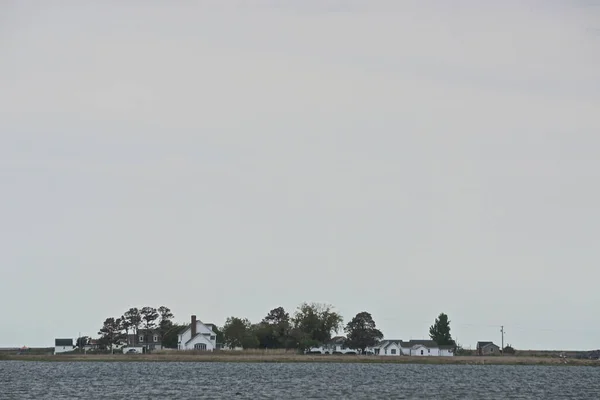
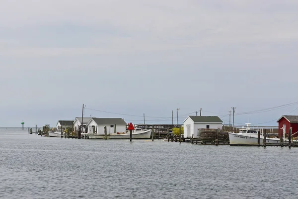
The town of Tangier, on Tangier Island, Virginia, in the Chesapeake Bay. Since 1850, the islands landmass has been reduced by 67 percent; the remaining landmass is expected to be lost in the next 50 years. — Photo

The town of Tangier, on Tangier Island, Virginia, in the Chesapeake Bay. Since 1850, the islands landmass has been reduced by 67 percent; the remaining landmass is expected to be lost in the next 50 years.

 — Photo by LindaHarms

Same Series:

Houses on the coast of Tangier Island, Virginia, in the Chesapeake Bay. Since 1850 the islands landmass has been reduced by 67 percent; the remaining landmass is expected to be lost in the next 50 years.
Houses Coast Tangier Island Virginia Chesapeake Bay 1850 Islands Landmass — Stock Photo, Image
The chimney is all that remains of a factory on an isolated island in the Chesapeake Bay.
Chimney All Remains Factory Isolated Island Chesapeake Bay — Stock Photo, Image
Shacks along the coast of Tangier Island, Virginia, in the Chesapeake Bay. Since 1850 the islands landmass has been reduced by 67 percent; the remaining landmass is expected to be lost in the next 50 years.
Shacks Coast Tangier Island Virginia Chesapeake Bay 1850 Islands Landmass — Stock Photo, Image
South Portland, Maine, USA: Spring Point Ledge Light, 1897, marks an obstruction on the west side of the main shipping channel into Portland Harbor.
South Portland Maine Usa Spring Point Ledge Light 1897 Marks — Stock Photo, Image
Houses on the coast of Tangier Island, Virginia, in the Chesapeake Bay. Since 1850 the islands landmass has been reduced by 67 percent; the remaining landmass is expected to be lost in the next 50 years.
Houses Coast Tangier Island Virginia Chesapeake Bay 1850 Islands Landmass — Stock Photo, Image
South Portland, Maine, USA: A long causeway leads visitors to Spring Point Ledge Light, 1897, in Casco Bay, Maine.
South Portland Maine Usa Long Causeway Leads Visitors Spring Point — Stock Photo, Image
Saxis, Virginia: View of Pokomoke Sound, under a dramatic cloud formation, from the fishing town of Saxis, Virginia.
Saxis Virginia View Pokomoke Sound Dramatic Cloud Formation Fishing Town — Stock Photo, Image
Porter, New York, USA: Visitors on the 23-acre grounds of the 18th-century Old Fort Niagara, on a cloudy day on Lake Ontario.
Porter New York Usa Visitors Acre Grounds 18Th Century Old — Stock Photo, Image
Portland, Maine, USA: The Portland Breakwater Light -- also called Bug Light -- was built in 1875, restored in 1989, and reactivated in 2002.
Portland Maine Usa Portland Breakwater Light Also Called Bug Light — Stock Photo, Image
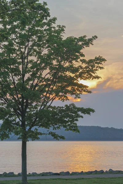
Dobbs Ferry, New York: The silhouette of a tree next to a path at sunset on the banks of the Hudson River.
Dobbs Ferry New York Silhouette Tree Next Path Sunset Banks — Stock Photo, Image
Amelia Island, Florida, USA: Fort Clinch, a 19th-century coastal fort located in Fort Clinch State Park.
Amelia Island Florida Usa Fort Clinch 19Th Century Coastal Fort — Stock Photo, Image
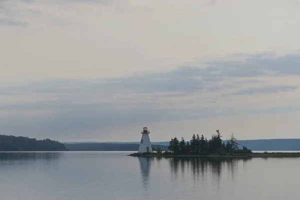
Baddeck, Nova Scotia, Canada: The Kidston Island Lighthouse, 1912, in the Bras dOr Lake on Cape Breton Island.
Baddeck Nova Scotia Canada Kidston Island Lighthouse 1912 Bras Dor — Stock Photo, Image
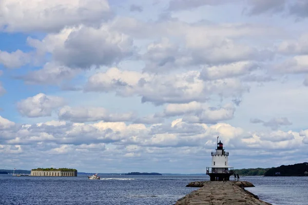
South Portland, Maine, USA: Spring Point Ledge Light, 1897, and Fort Gorges, 1864, under dramatic cloud formations in Casco Bay, Maine.
South Portland Maine Usa Spring Point Ledge Light 1897 Fort — Stock Photo, Image
Tangier Is., Chesapeake Bay, VA, USA: Fishing shacks and boats. Since 1850 Tangier has lost 67 percent of its land; the rest is expected to be lost by 2068.
Tangier Chesapeake Bay Usa Fishing Shacks Boats 1850 Tangier Has — Stock Photo, Image
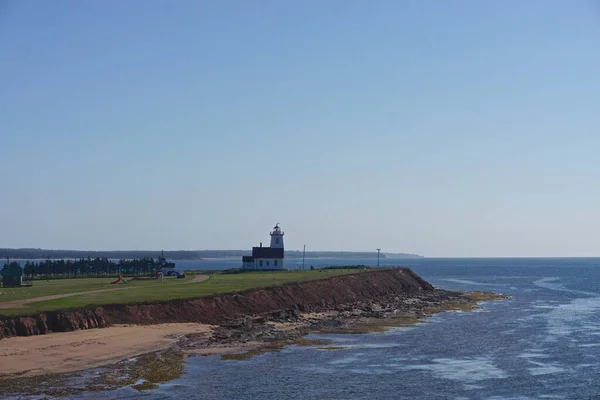
The Wood Islands Lighthouse, 1876, on the southeast shore of Prince Edward Island, Canada, viewed from the ferry to Pictou, Nova Scotia.
Wood Islands Lighthouse 1876 Southeast Shore Prince Edward Island Canada — Stock Photo, Image
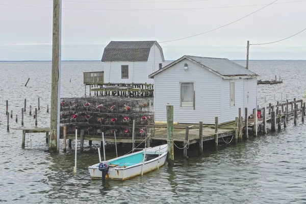
Shacks and crab traps on the coast of Tangier Island, Virginia, in the Chesapeake Bay. Since 1850 the islands landmass has been reduced by 67 percent; the remaining landmass is expected to be lost by 2068.
Shacks Crab Traps Coast Tangier Island Virginia Chesapeake Bay 1850 — Stock Photo, Image

Usage Information

You can use this royalty-free photo "The town of Tangier, on Tangier Island, Virginia, in the Chesapeake Bay. Since 1850, the islands landmass has been reduced by 67 percent; the remaining landmass is expected to be lost in the next 50 years." for personal and commercial purposes according to the Standard or Extended License. The Standard License covers most use cases, including advertising, UI designs, and product packaging, and allows up to 500,000 print copies. The Extended License permits all use cases under the Standard License with unlimited print rights and allows you to use the downloaded stock images for merchandise, product resale, or free distribution.

You can buy this stock photo and download it in high resolution up to 6000x4000. Upload Date: Jul 10, 2020