Croatia map Stock Photos

100,000 Croatia map pictures are available under a royalty-free license

  • Best Match
  • Fresh
  • Popular
1-100 of 100,000
Map of Europe and Croatia.
Map of Europe and Croatia. — Stock Photo, Image
Croatia with flag
Croatia with flag — Stock Photo, Image
Croatia Country Map on Continent
Croatia Country Map on Continent — Stock Photo, Image
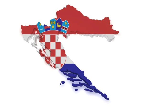
Croatia Map 3d Shape
Croatia Map 3d Shape — Stock Photo, Image
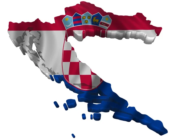
Flag and map of Croatia
Flag and map of Croatia — Stock Photo, Image
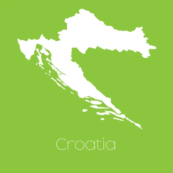
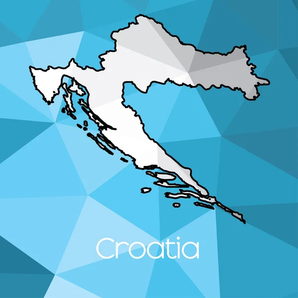
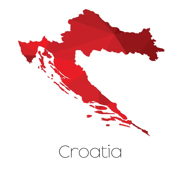
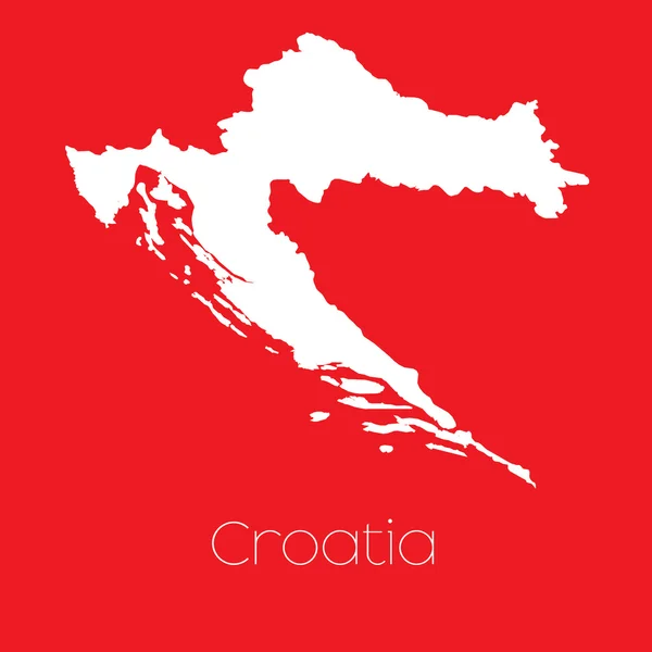
Map of the country of Croatia
Map of the country of Croatia — Stock Photo, Image
Fist in color national flag of croatia punching world map
Fist in color national flag of croatia punching world map — Stock Photo, Image
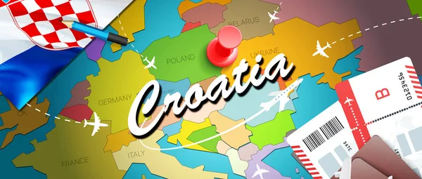
Croatia travel concept map background with planes, tickets. Visit Croatia travel and tourism destination concept. Croatia flag on map. Planes and flights to Croatian holidays to Zagreb,Spli
Croatia Travel Concept Map Background Planes Tickets Visit Croatia Travel — Stock Photo, Image
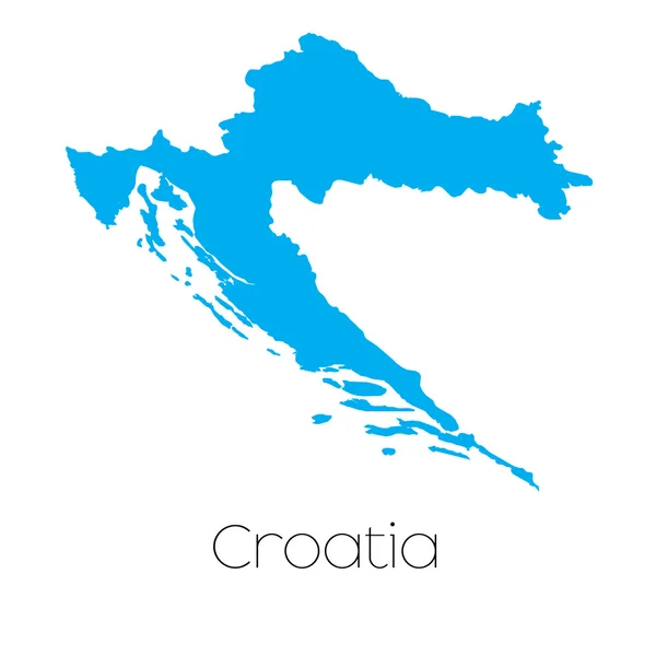
Blue shape with name of the country of Croatia
Blue shape with name of the country of Croatia — Stock Photo, Image
Map illustration of Croatia
Map illustration of Croatia — Stock Photo, Image
A soccer ball on a France map with a Slovakia Slovakian flag
A soccer ball on a France map with a Slovakia Slovakian flag — Stock Photo, Image
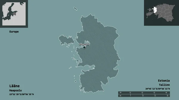
Shape of Laane, county of Estonia, and its capital. Distance scale, previews and labels. Colored elevation map. 3D rendering
Shape Laane County Estonia Its Capital Distance Scale Previews Labels — Stock Photo, Image
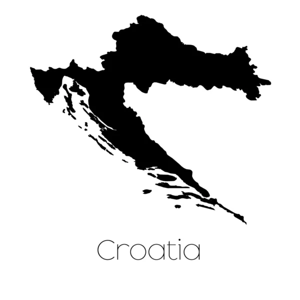
A Map of the country of Croatia
Map Country Croatia — Stock Photo, Image
Croatia flag raster
Croatia flag raster — Stock Photo, Image
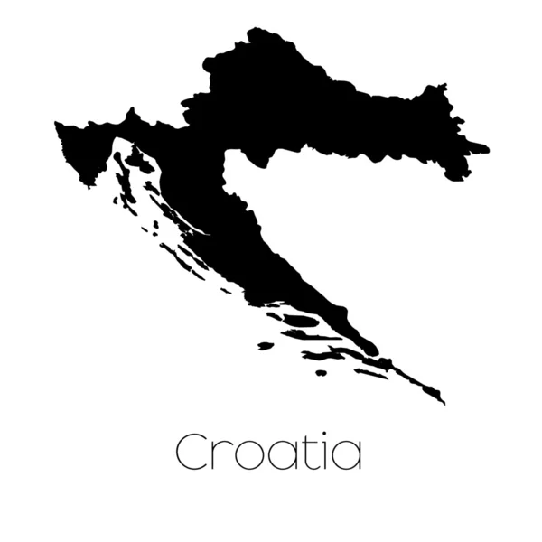
A Map of the country of Croatia
Map Country Croatia — Stock Photo, Image
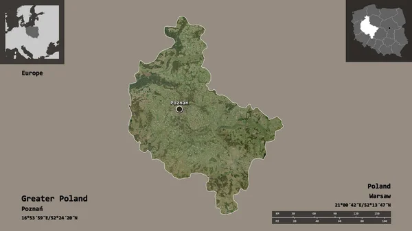
Shape of Greater Poland, voivodeship of Poland, and its capital. Distance scale, previews and labels. Satellite imagery. 3D rendering
Shape Greater Poland Voivodeship Poland Its Capital Distance Scale Previews — Stock Photo, Image
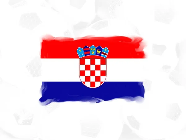
Flag of Croatia. 3d illustration
Flag Croatia Illustration — Stock Photo, Image
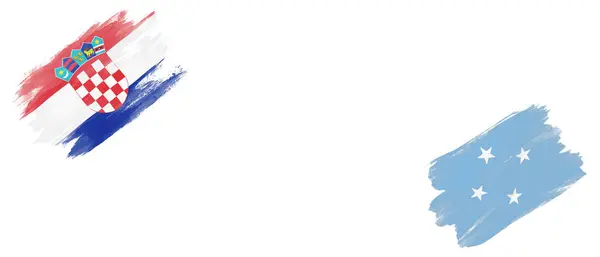
Croatia and Micronesia Flags on White Background
Croatia Micronesia Flags White Background — Stock Photo, Image
Map of Croatia
Map of Croatia — Stock Photo, Image
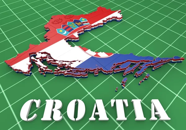
Map with flag of croatia
Map with flag of croatia — Stock Photo, Image
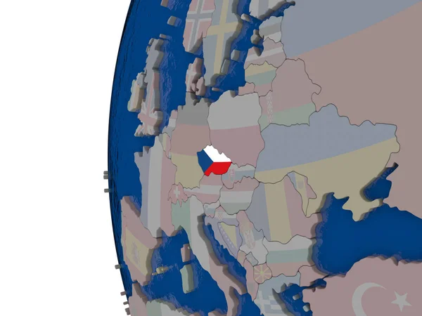
Czech republic with national flag
Czech republic with national flag — Stock Photo, Image
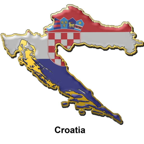
Croatia metal pin badge
Croatia metal pin badge — Stock Photo, Image
Flag of the united states of america
Flag United States America — Stock Photo, Image
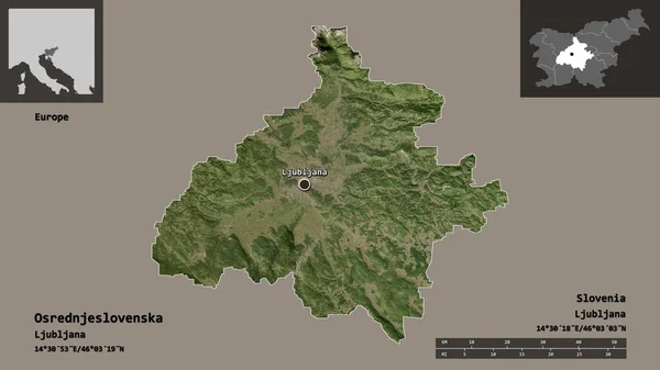
Shape of Osrednjeslovenska, statistical region of Slovenia, and its capital. Distance scale, previews and labels. Satellite imagery. 3D rendering
Shape Osrednjeslovenska Statistical Region Slovenia Its Capital Distance Scale Previews — Stock Photo, Image
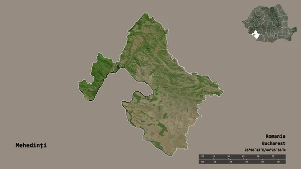
Shape of Mehedinti, county of Romania, with its capital isolated on solid background. Distance scale, region preview and labels. Satellite imagery. 3D rendering
Shape Mehedinti County Romania Its Capital Isolated Solid Background Distance — Stock Photo, Image
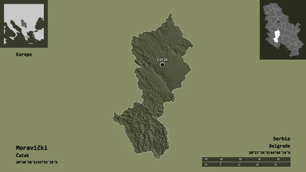
Shape of Moravicki, district of Serbia, and its capital. Distance scale, previews and labels. Colored elevation map. 3D rendering
Shape Moravicki District Serbia Its Capital Distance Scale Previews Labels — Stock Photo, Image
Croatia flag brush stroke, national flag on transparent background
Croatia Flag Brush Stroke National Flag Transparent Background — Stock Photo, Image
Aged paper texture can be used as background
Aged paper texture can be used as background — Stock Photo, Image
High detailed Outline of the country of Cyprus
High detailed Outline of the country of  Cyprus — Stock Photo, Image
Croatia and Liberia Flags on White Background
Croatia Liberia Flags White Background — Stock Photo, Image
3D flag of Croatia
3D flag of Croatia — Stock Photo, Image
The Croatian flag
The Croatian flag — Stock Photo, Image
Shape of Masovian, voivodeship of Poland, and its capital. Distance scale, previews and labels. Colored elevation map. 3D rendering
Shape Masovian Voivodeship Poland Its Capital Distance Scale Previews Labels — Stock Photo, Image
Austria Black Silhouette Map Outline Isolated on White 3D Illustration
Austria Black Silhouette Map Outline Isolated on White 3D Illustration — Stock Photo, Image
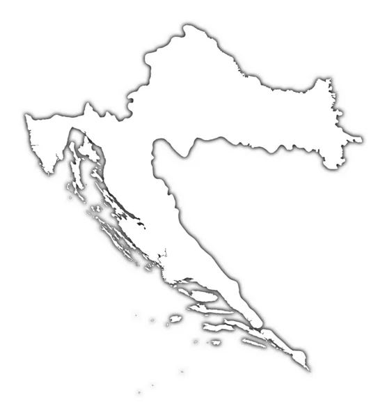
Croatia outline map with shadow
Croatia outline map with shadow — Stock Photo, Image
Croatia flag of silk with world map background-3D illustration
Croatia Flag Silk World Map Background Illustration — Stock Photo, Image
Croatia Flag Hexagon Background Croatian Flag honeycomb glossy reflective mosaic tiles 3D Render Hrvatska zastava
Croatia Flag Hexagon Background Croatian Flag Honeycomb Glossy Reflective Mosaic — Stock Photo, Image
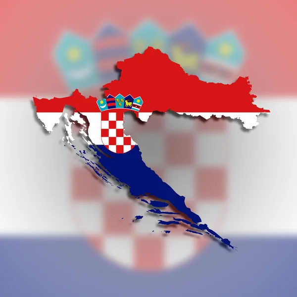
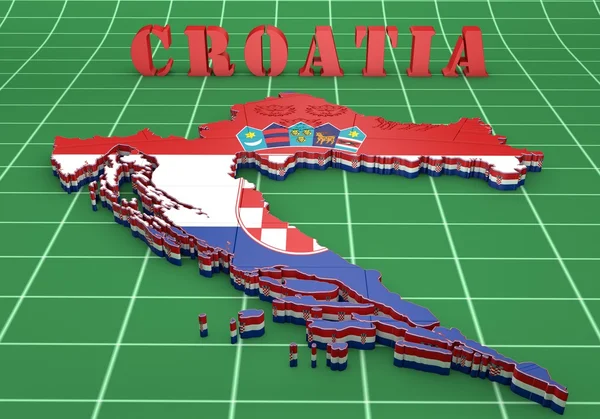
Map of Croatia filled with flag
Map of Croatia filled with flag — Stock Photo, Image
Shape of Wien, state of Austria, and its capital. Distance scale, previews and labels. Composition of patterned textures. 3D rendering
Shape Wien State Austria Its Capital Distance Scale Previews Labels — Stock Photo, Image
Photo from grunge flag
Photo from grunge flag — Stock Photo, Image
Croatia and Marshall Islands Flags on White Background
Croatia Marshall Islands Flags White Background — Stock Photo, Image
Croatia flag icon
Croatia flag icon — Stock Photo, Image
A Neon outline of Croatia
Neon Outline Croatia — Stock Photo, Image
Country Shape isolated on chalk board with the name and shape of
Country Shape isolated on chalk board with the name and shape of — Stock Photo, Image
Country Shape isolated on chalk board with the name and shape of
Country Shape isolated on chalk board with the name and shape of — Stock Photo, Image
Slovakia flag on map, transparent background, Clipping path
Slovakia Flag Map Transparent Background Clipping Path — Stock Photo, Image
Shape of Orel, region of Russia, and its capital. Distance scale, previews and labels. Colored elevation map. 3D rendering
Shape Orel Region Russia Its Capital Distance Scale Previews Labels — Stock Photo, Image
Country Shape isolated on background of the country of Croatia
Country Shape isolated on background of the country of Croatia — Stock Photo, Image
Country Shape isolated on background of the country of Croatia
Country Shape isolated on background of the country of Croatia — Stock Photo, Image
Serbia and Croatia Flags on White Background
Serbia Croatia Flags White Background — Stock Photo, Image
Shape and national flag of Croatia, levitating, 3D computer graphics
Shape National Flag Croatia Levitating Computer Graphics — Stock Photo, Image
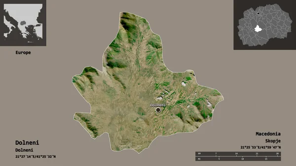
Shape of Dolneni, municipality of Macedonia, and its capital. Distance scale, previews and labels. Satellite imagery. 3D rendering
Shape Dolneni Municipality Macedonia Its Capital Distance Scale Previews Labels — Stock Photo, Image
Croatian flag waving animation. Closeup cropped view of a fluttering national flag of Croatia. Seamless Loopable Flag of Croatia
Croatian flag waving animation. Closeup cropped view of a fluttering national flag of Croatia. Seamless Loopable Flag of Croatia — Stock Photo, Image
Photo of Croatia flag with fabric texture
Photo Croatia Flag Fabric Texture — Stock Photo, Image
A Neon outline of Croatia
Neon Outline Croatia — Stock Photo, Image
Croatia flag on the background texture. Concept for designer solutions.
Croatia Flag Background Texture Concept Designer Solutions — Stock Photo, Image
Croatia flag - realistic waving fabric flag
Croatia Flag Realistic Waving Fabric Flag — Stock Photo, Image
Map of the country of Croatia
Map of the country of Croatia — Stock Photo, Image
A Neon outline of Croatia
Neon Outline Croatia — Stock Photo, Image
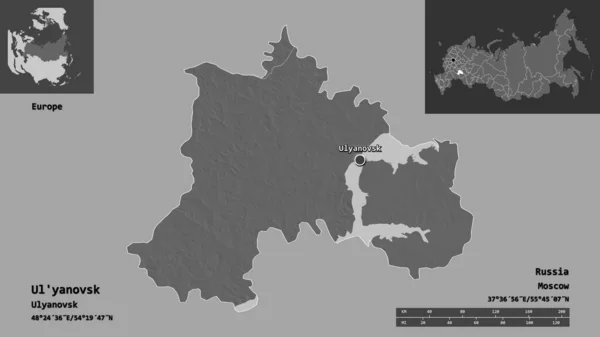
Shape of Ul'yanovsk, region of Russia, and its capital. Distance scale, previews and labels. Bilevel elevation map. 3D rendering
Shape Yanovsk Region Russia Its Capital Distance Scale Previews Labels — Stock Photo, Image
Grunge Croatia flag. Croatian flag with grunge texture. Brush stroke.
Grunge Croatia Flag Croatian Flag Grunge Texture Brush Stroke — Stock Photo, Image
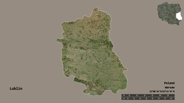
Shape of Lublin, voivodeship of Poland, with its capital isolated on solid background. Distance scale, region preview and labels. Satellite imagery. 3D rendering
Shape Lublin Voivodeship Poland Its Capital Isolated Solid Background Distance — Stock Photo, Image
Map illustration of Croatia
Map illustration of Croatia — Stock Photo, Image
Croatia grunge flag
Croatia grunge flag — Stock Photo, Image
A Map of the country of Croatia
Map Country Croatia — Stock Photo, Image
Croatia travel concept map background with planes, tickets. Visit Croatia travel and tourism destination concept. Croatia flag on map. Planes and flights to Croatian holidays to Zagreb,Spli
Croatia Travel Concept Map Background Planes Tickets Visit Croatia Travel — Stock Photo, Image
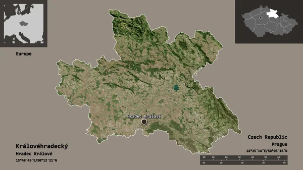
Shape of Kralovehradecky, region of Czech Republic, and its capital. Distance scale, previews and labels. Satellite imagery. 3D rendering
Shape Kralovehradecky Region Czech Republic Its Capital Distance Scale Previews — Stock Photo, Image
Flags of Croatia and Kosovo on White Background
Flags of Croatia and Kosovo on White Background — Stock Photo, Image
Flag Illustration inside a pointed of the country of Yugoslavia
Flag Illustration inside a pointed of the country of Yugoslavia — Stock Photo, Image
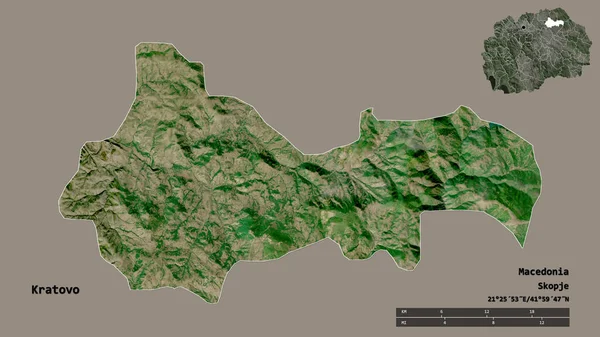
Shape of Kratovo, municipality of Macedonia, with its capital isolated on solid background. Distance scale, region preview and labels. Satellite imagery. 3D rendering
Shape Kratovo Municipality Macedonia Its Capital Isolated Solid Background Distance — Stock Photo, Image
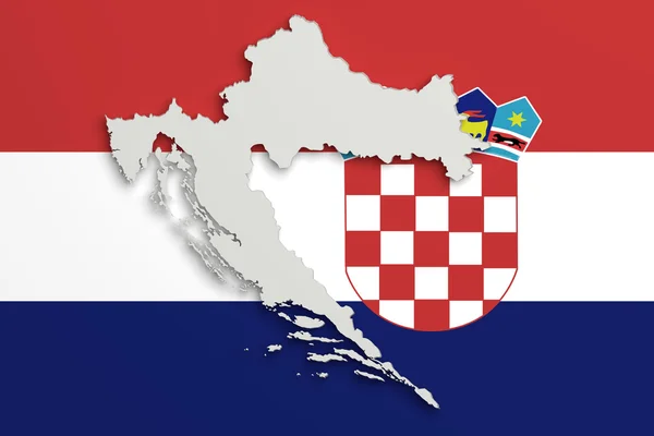
Silhouette of Croatia map with flag
Silhouette of Croatia map with flag — Stock Photo, Image
Croatia
Croatia — Stock Photo, Image
Hiiu, county of Estonia. High resolution satellite map. Corner auxiliary location maps
Hiiu County Estonia High Resolution Satellite Map Corner Auxiliary Location — Stock Photo, Image
Croatia - Stamp
Croatia - Stamp — Stock Photo, Image
Square icon with flag of croatia
Square icon with flag of croatia — Stock Photo, Image
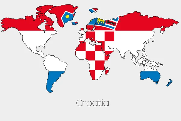
Flag Illustration inside the shape of a world map of the country
Flag Illustration inside the shape of a world map of the country — Stock Photo, Image
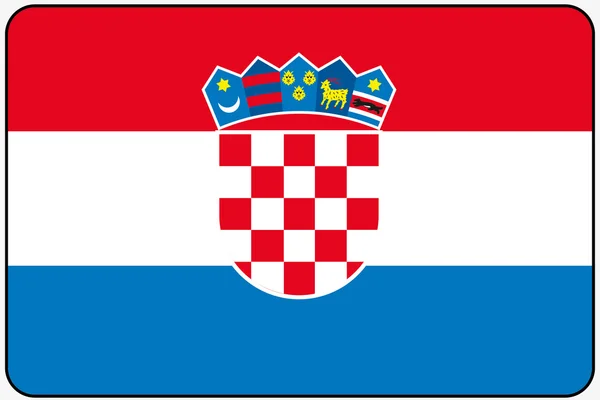
Flat Design Flag Illustration with Rounded Corners and Black Out
Flat Design Flag Illustration with Rounded Corners and Black Out — Stock Photo, Image
Croatia flag raster
Croatia flag raster — Stock Photo, Image
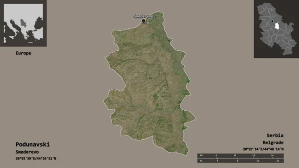
Shape of Podunavski, district of Serbia, and its capital. Distance scale, previews and labels. Satellite imagery. 3D rendering
Shape Podunavski District Serbia Its Capital Distance Scale Previews Labels — Stock Photo, Image
Shape of Swietokrzyskie, voivodeship of Poland, and its capital. Distance scale, previews and labels. Satellite imagery. 3D rendering
Shape Swietokrzyskie Voivodeship Poland Its Capital Distance Scale Previews Labels — Stock Photo, Image
Croatia and Nauru Flags on White Background
Croatia Nauru Flags White Background — Stock Photo, Image
Italy and Croatia Flags on White Background
Italy Croatia Flags White Background — Stock Photo, Image
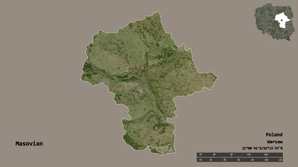
Shape of Masovian, voivodeship of Poland, with its capital isolated on solid background. Distance scale, region preview and labels. Satellite imagery. 3D rendering
Shape Masovian Voivodeship Poland Its Capital Isolated Solid Background Distance — Stock Photo, Image
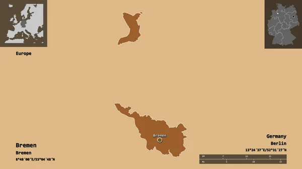
Shape of Bremen, state of Germany, and its capital. Distance scale, previews and labels. Composition of patterned textures. 3D rendering
Shape Bremen State Germany Its Capital Distance Scale Previews Labels — Stock Photo, Image
Malta and Croatia Flags on White Background
Malta Croatia Flags White Background — Stock Photo, Image
Map illustration of Croatia
Map illustration of Croatia — Stock Photo, Image
Map of the country of Croatia
Map of the country of Croatia — Stock Photo, Image
Croatia 3D button on white background
Croatia 3D button on white background — Stock Photo, Image
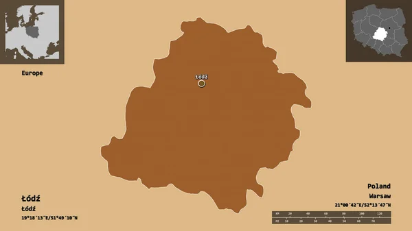
Shape of odz, voivodeship of Poland, and its capital. Distance scale, previews and labels. Composition of regularly patterned textures. 3D rendering
Shape Odz Voivodeship Poland Its Capital Distance Scale Previews Labels — Stock Photo, Image
A Map of the country of Croatia
Map Country Croatia — Stock Photo, Image
Map of Croatia.
Map of Croatia. — Stock Photo, Image
European Football Championship 2020. Schedule for football matches Slovakia - Croatia. Flags of countries and soccer ball. 3D illustration.
European Football Championship 2020 Schedule Football Matches Slovakia Croatia Flags — Stock Photo, Image
3D map on blue water background of Croatia
3D map on blue water background of Croatia — Stock Photo, Image
Flag of croatia, mosaic background
Flag of croatia, mosaic background — Stock Photo, Image
Flag of Croatia.
Flag of Croatia. — Stock Photo, Image
Serbia flag of silk with world map background-3D illustration
Serbia Flag Silk World Map Background Illustration — Stock Photo, Image
Square pin with flag of croatia on the map
Square pin with flag of croatia on the map — Stock Photo, Image
Frame with flag of croatia
Frame with flag of croatia — Stock Photo, Image
A Flag Illustration With a Neon Outline of Croatia
Flag Illustration Neon Outline Croatia — Stock Photo, Image

Croatia Map Images - The Ultimate Resource for Your Next Project

Are you planning a project that requires maps of Croatia? Look no further than our collection of stock images featuring high-quality Croatia maps!

Types of Images Available

Our Croatia map images are available in JPG, AI, and EPS formats, making them easily accessible for all types of projects and software applications. They feature detailed maps of Croatia, including information about major cities, towns, rivers, lakes, and national parks. We also offer a variety of options, including physical, political, and road maps.

Our maps are ideal for designers, illustrators, and content creators who want to add accurate, professional-looking maps to their work. They can be used in a range of projects, from travel brochures and educational materials to websites and graphic design projects.

Practical Applications

Our Croatia map images can be used for a variety of purposes. For example, if you're a travel blogger, you can use a map to highlight the Croatian destinations you're writing about. If you're creating an educational resource, you can use a map to help students understand the geography of Croatia. A marketing campaign promoting Croatian tourism can also benefit significantly by employing well-designed Croatia map images in its visuals.

It is essential to note that there are different types of maps, and each serves a particular purpose. Physical maps show the terrain and natural features of an area, whereas political maps outline administrative and political boundaries, including countries, states, and cities. On the other hand, road maps provide detailed information on the road networks and their connectivity. Depending on the nature of your project, you can choose the right type of image to convey the necessary information.
Choosing the Right Image

When selecting an image, it's essential to consider the purpose of your project and the audience you are trying to reach. If your project is promoting Croatian tourism, you'll want to choose a map that highlights key travel destinations. Suppose you're creating an educational resource on the geography of Croatia, highlighting different cities, rivers, and major natural features like the islands, national parks and mainland highlights is a better fit.

Additionally, selecting a high-quality image can make a significant difference in the outcome of your project. High-quality image resolution, color, and accuracy are all critical elements in creating visually dynamic and effective projects.

Conclusion

Our collection of Croatia map images is an excellent resource for designers, illustrators, and content creators looking for high-quality maps for their projects. With different types of maps and formats available, our images can be used in an extensive range of applications, from education to marketing.

When selecting an image, always consider the purpose of your project and the type of map that best fits your needs. Choosing an accurate and visually dynamic image can make all the difference in the success of your project.