Indiana map Stock Photos

100,000 Indiana map pictures are available under a royalty-free license

  • Best Match
  • Fresh
  • Popular
1-100 of 100,000
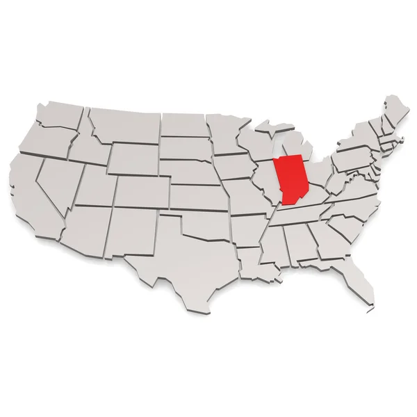
State of Indiana map
State of Indiana map — Stock Photo, Image
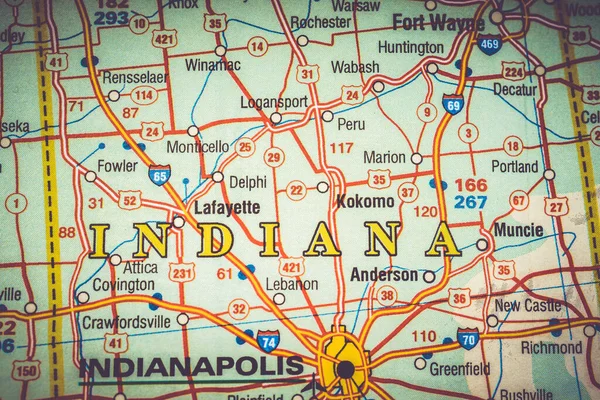
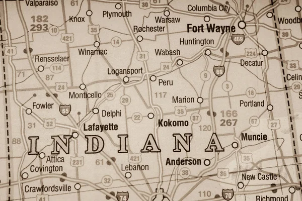
Indiana map
Indiana map — Stock Photo, Image
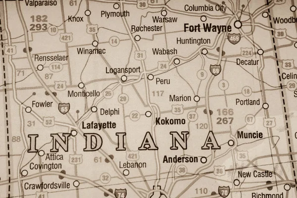
Indiana USA map background
Indiana Usa Map Background — Stock Photo, Image
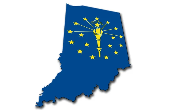
Indiana
Indiana — Stock Photo, Image
Shaanxi, province of China. Open Street Map. Corner auxiliary location maps
Shaanxi Province China Open Street Map Corner Auxiliary Location Maps — Stock Photo, Image
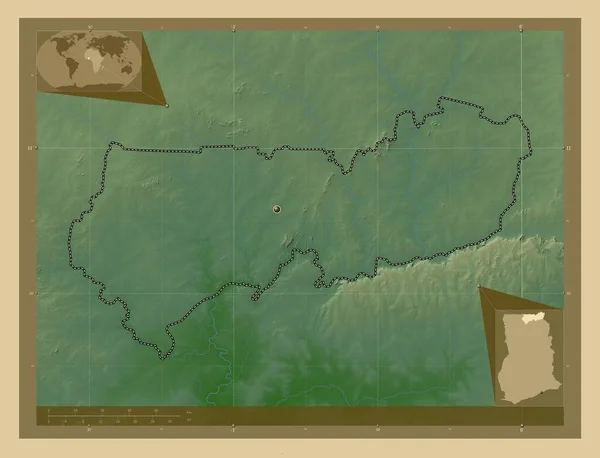
Upper East, region of Ghana. Colored elevation map with lakes and rivers. Corner auxiliary location maps
Upper East Region Ghana Colored Elevation Map Lakes Rivers Corner — Stock Photo, Image
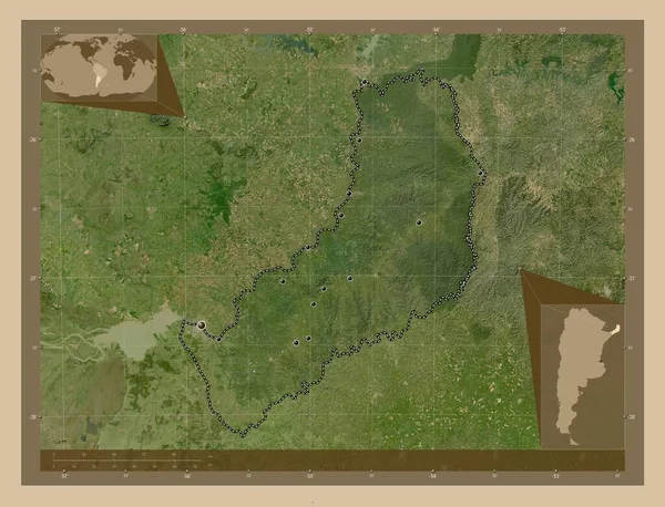
Misiones, province of Argentina. Low resolution satellite map. Locations of major cities of the region. Corner auxiliary location maps
Misiones Province Argentina Low Resolution Satellite Map Locations Major Cities — Stock Photo, Image
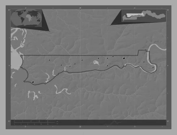
North Bank, division of Gambia. Bilevel elevation map with lakes and rivers. Locations of major cities of the region. Corner auxiliary location maps
North Bank Division Gambia Bilevel Elevation Map Lakes Rivers Locations — Stock Photo, Image
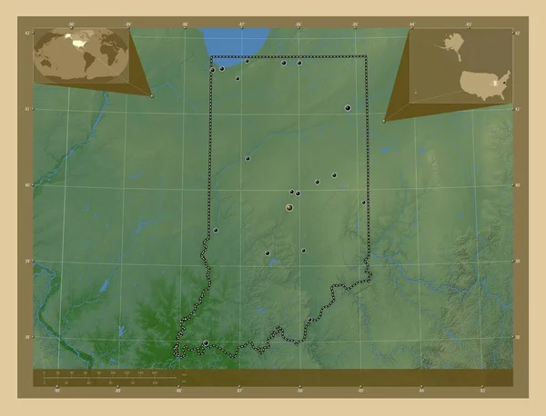
Indiana, state of United States of America. Colored elevation map with lakes and rivers. Locations of major cities of the region. Corner auxiliary location maps
Indiana State United States America Colored Elevation Map Lakes Rivers — Stock Photo, Image
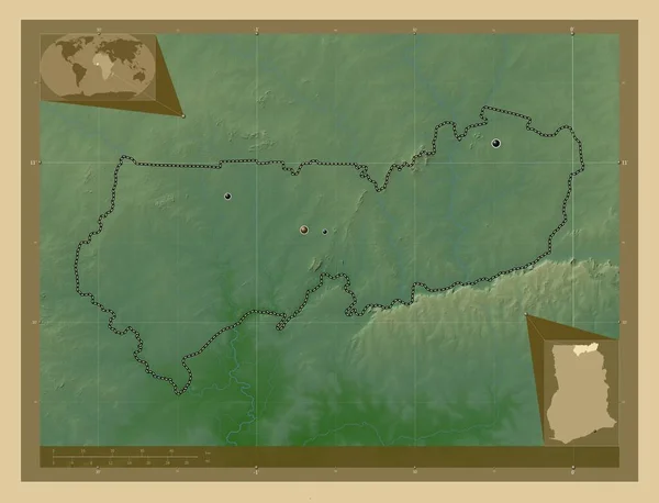
Upper East, region of Ghana. Colored elevation map with lakes and rivers. Locations of major cities of the region. Corner auxiliary location maps
Upper East Region Ghana Colored Elevation Map Lakes Rivers Locations — Stock Photo, Image
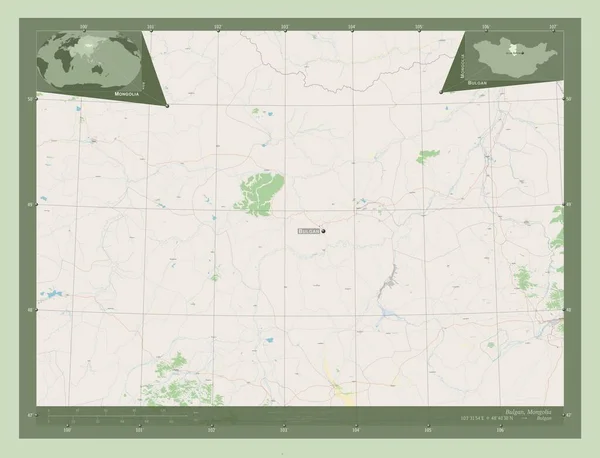
Bulgan, province of Mongolia. Open Street Map. Locations and names of major cities of the region. Corner auxiliary location maps
Bulgan Province Mongolia Open Street Map Locations Names Major Cities — Stock Photo, Image
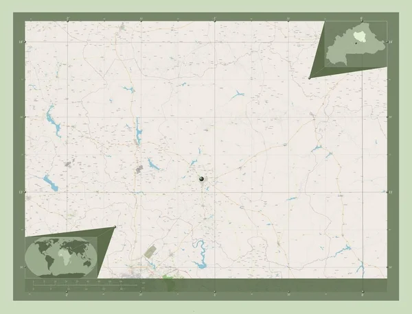
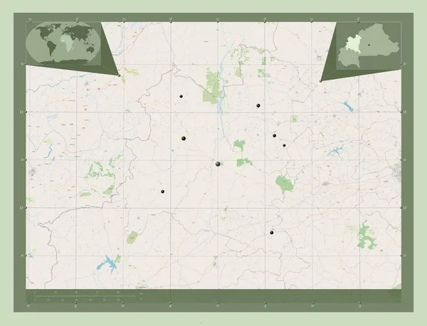
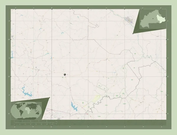
Centre-Nord, region of Burkina Faso. Open Street Map. Corner auxiliary location maps
Centre Nord Region Burkina Faso Open Street Map Corner Auxiliary — Stock Photo, Image
Segou, region of Mali. Elevation map colored in sepia tones with lakes and rivers. Corner auxiliary location maps
Segou Region Mali Elevation Map Colored Sepia Tones Lakes Rivers — Stock Photo, Image
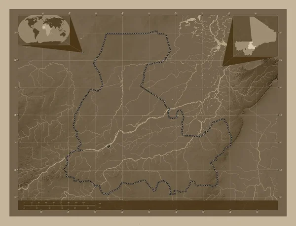
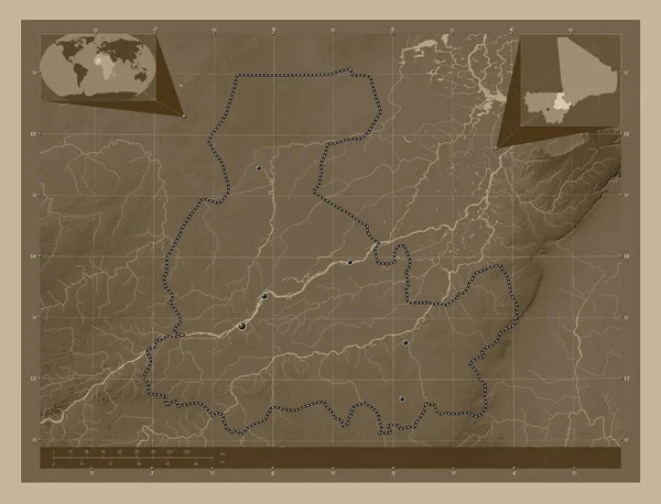
Segou, region of Mali. Elevation map colored in sepia tones with lakes and rivers. Locations of major cities of the region. Corner auxiliary location maps
Segou Region Mali Elevation Map Colored Sepia Tones Lakes Rivers — Stock Photo, Image
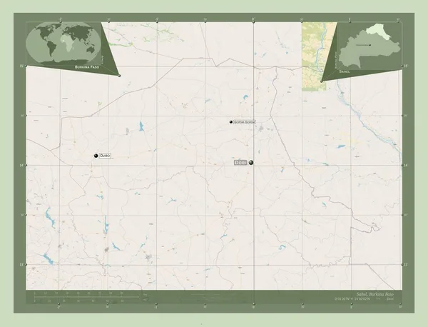
Sahel, region of Burkina Faso. Open Street Map. Corner auxiliary location maps
Sahel Region Burkina Faso Open Street Map Corner Auxiliary Location — Stock Photo, Image
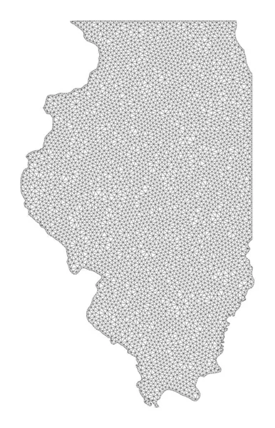
Polygonal Wire Frame Mesh High Detail Raster Map of Illinois State Abstractions
Polygonal Wire Frame Mesh High Detail Raster Map of Illinois State Abstractions — Stock Photo, Image
North Bank, division of Gambia. Elevation map colored in sepia tones with lakes and rivers. Corner auxiliary location maps
North Bank Division Gambia Elevation Map Colored Sepia Tones Lakes — Stock Photo, Image
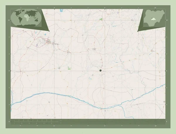
Nassarawa, state of Nigeria. Open Street Map. Corner auxiliary location maps
Nassarawa State Nigeria Open Street Map Corner Auxiliary Location Maps — Stock Photo, Image
Boucle du Mouhoun, region of Burkina Faso. Open Street Map. Locations of major cities of the region. Corner auxiliary location maps
Boucle Mouhoun Region Burkina Faso Open Street Map Locations Major — Stock Photo, Image
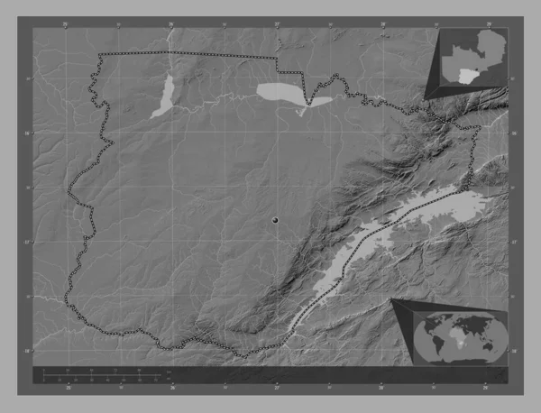
Southern, region of Zambia. Bilevel elevation map with lakes and rivers. Corner auxiliary location maps
Southern Region Zambia Bilevel Elevation Map Lakes Rivers Corner Auxiliary — Stock Photo, Image
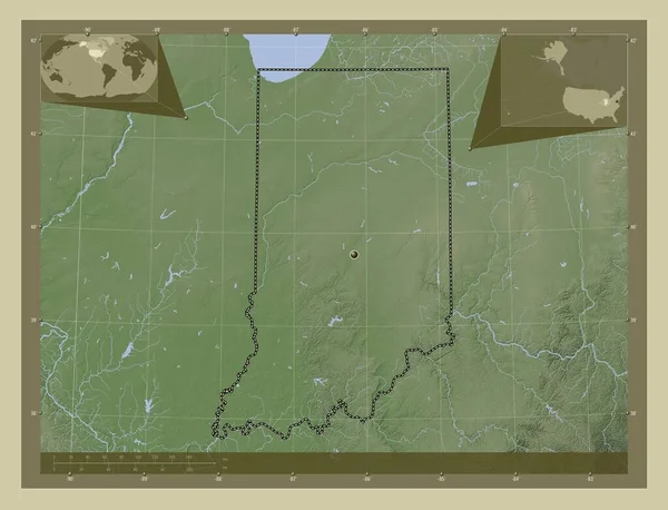
Indiana, state of United States of America. Elevation map colored in wiki style with lakes and rivers. Corner auxiliary location maps
Indiana State United States America Elevation Map Colored Wiki Style — Stock Photo, Image
Misiones, province of Argentina. Low resolution satellite map. Corner auxiliary location maps
Misiones Province Argentina Low Resolution Satellite Map Corner Auxiliary Location — Stock Photo, Image
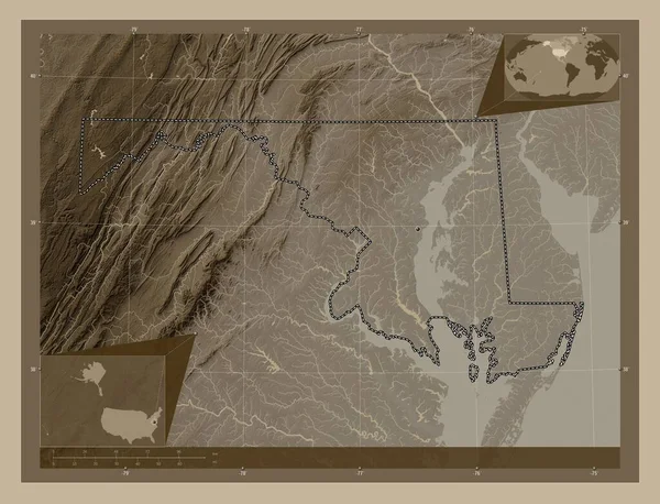
Maryland, state of United States of America. Elevation map colored in sepia tones with lakes and rivers. Corner auxiliary location maps
Maryland State United States America Elevation Map Colored Sepia Tones — Stock Photo, Image
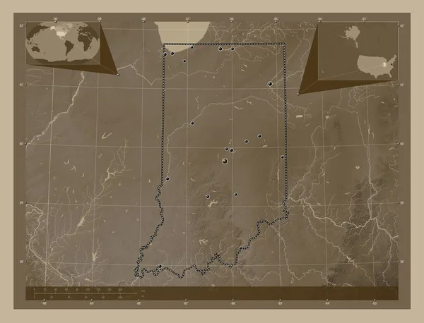
Indiana, state of United States of America. Elevation map colored in sepia tones with lakes and rivers. Locations of major cities of the region. Corner auxiliary location maps
Indiana State United States America Elevation Map Colored Sepia Tones — Stock Photo, Image
Centre-Nord, region of Burkina Faso. Open Street Map. Locations and names of major cities of the region. Corner auxiliary location maps
Centre Nord Region Burkina Faso Open Street Map Locations Names — Stock Photo, Image
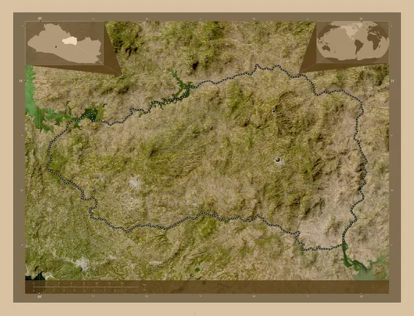
Cabanas, department of El Salvador. Low resolution satellite map. Corner auxiliary location maps
Cabanas Department Salvador Low Resolution Satellite Map Corner Auxiliary Location — Stock Photo, Image
Upper East, region of Ghana. Elevation map colored in wiki style with lakes and rivers. Corner auxiliary location maps
Upper East Region Ghana Elevation Map Colored Wiki Style Lakes — Stock Photo, Image
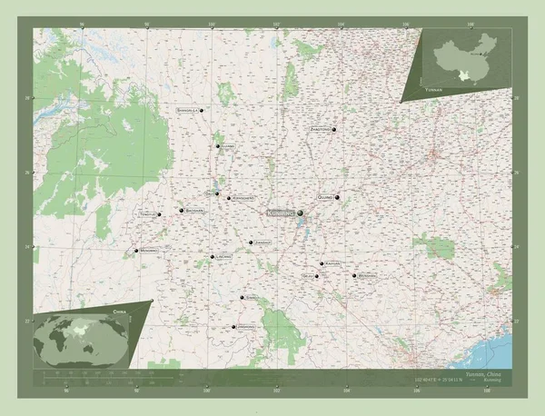
Yunnan, province of China. Open Street Map. Locations and names of major cities of the region. Corner auxiliary location maps
Yunnan Province China Open Street Map Locations Names Major Cities — Stock Photo, Image
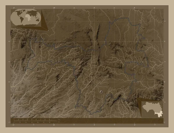
Nzerekore, region of Guinea. Elevation map colored in sepia tones with lakes and rivers. Corner auxiliary location maps
Nzerekore Region Guinea Elevation Map Colored Sepia Tones Lakes Rivers — Stock Photo, Image
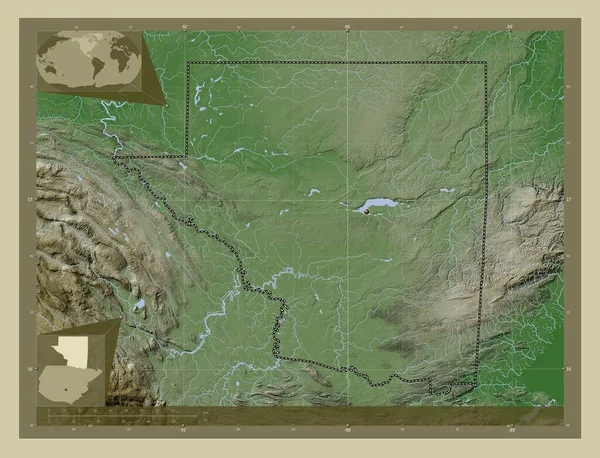
Peten, department of Guatemala. Elevation map colored in wiki style with lakes and rivers. Corner auxiliary location maps
Peten Department Guatemala Elevation Map Colored Wiki Style Lakes Rivers — Stock Photo, Image
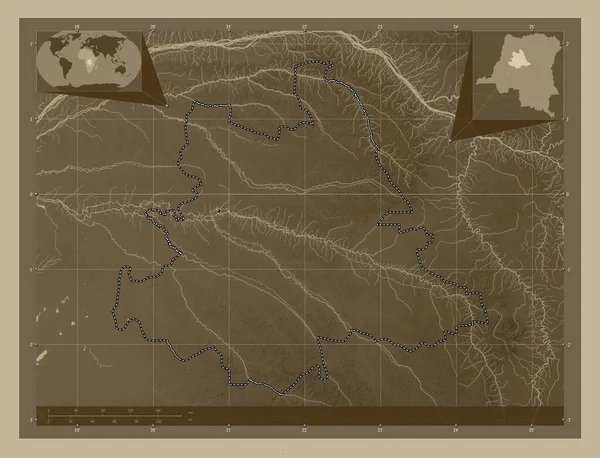
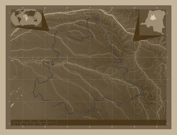
Tshuapa, province of Democratic Republic of the Congo. Elevation map colored in sepia tones with lakes and rivers. Corner auxiliary location maps
Tshuapa Province Democratic Republic Congo Elevation Map Colored Sepia Tones — Stock Photo, Image
Tshuapa, province of Democratic Republic of the Congo. Elevation map colored in sepia tones with lakes and rivers. Locations of major cities of the region. Corner auxiliary location maps
Tshuapa Province Democratic Republic Congo Elevation Map Colored Sepia Tones — Stock Photo, Image
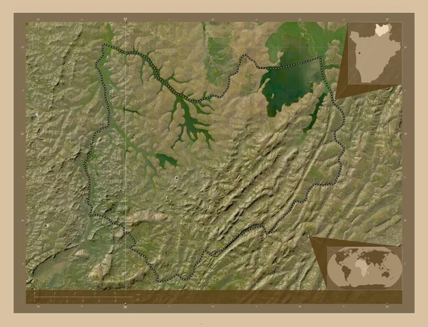
Kirundo, province of Burundi. Low resolution satellite map. Corner auxiliary location maps
Kirundo Province Burundi Low Resolution Satellite Map Corner Auxiliary Location — Stock Photo, Image
Kirundo, province of Burundi. Low resolution satellite map. Locations of major cities of the region. Corner auxiliary location maps
Kirundo Province Burundi Low Resolution Satellite Map Locations Major Cities — Stock Photo, Image
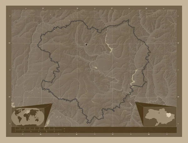
Kharkiv, region of Ukraine. Elevation map colored in sepia tones with lakes and rivers. Corner auxiliary location maps
Kharkiv Region Ukraine Elevation Map Colored Sepia Tones Lakes Rivers — Stock Photo, Image
East Kazakhstan, region of Kazakhstan. Solid color shape. Locations and names of major cities of the region. Corner auxiliary location maps
East Kazakhstan Region Kazakhstan Solid Color Shape Locations Names Major — Stock Photo, Image
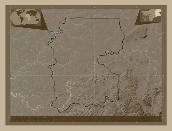
Gabu, region of Guinea-Bissau. Elevation map colored in sepia tones with lakes and rivers. Locations of major cities of the region. Corner auxiliary location maps
Gabu Region Guinea Bissau Elevation Map Colored Sepia Tones Lakes — Stock Photo, Image
Gabu, region of Guinea-Bissau. Elevation map colored in sepia tones with lakes and rivers. Corner auxiliary location maps
Gabu Region Guinea Bissau Elevation Map Colored Sepia Tones Lakes — Stock Photo, Image
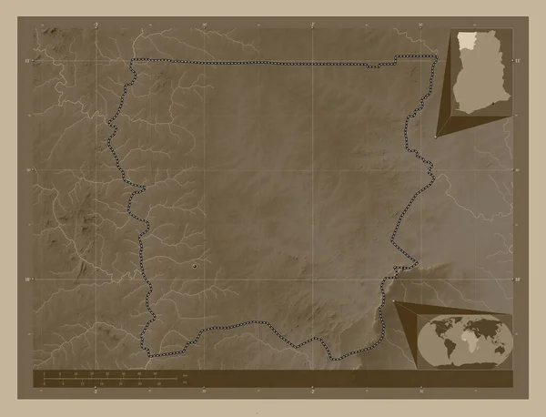
Upper West, region of Ghana. Elevation map colored in sepia tones with lakes and rivers. Locations of major cities of the region. Corner auxiliary location maps
Upper West Region Ghana Elevation Map Colored Sepia Tones Lakes — Stock Photo, Image
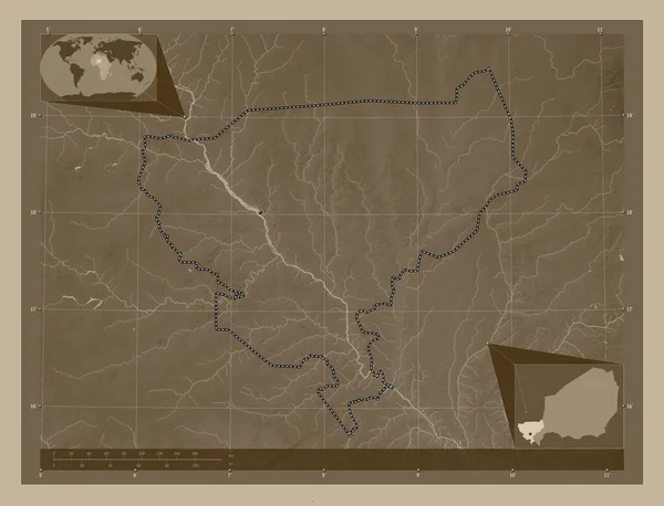
Tillabery, department of Niger. Elevation map colored in sepia tones with lakes and rivers. Corner auxiliary location maps
Tillabery Department Niger Elevation Map Colored Sepia Tones Lakes Rivers — Stock Photo, Image
Cabanas, department of El Salvador. Low resolution satellite map. Locations of major cities of the region. Corner auxiliary location maps
Cabanas Department Salvador Low Resolution Satellite Map Locations Major Cities — Stock Photo, Image
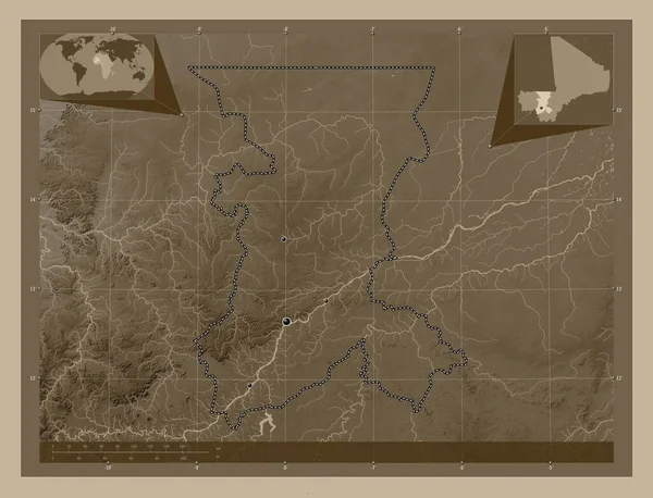
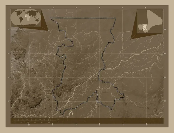
Koulikoro, region of Mali. Elevation map colored in sepia tones with lakes and rivers. Locations of major cities of the region. Corner auxiliary location maps
Koulikoro Region Mali Elevation Map Colored Sepia Tones Lakes Rivers — Stock Photo, Image
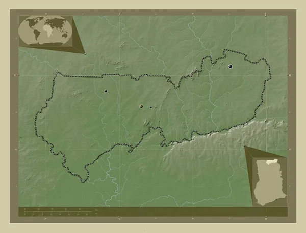
Upper East, region of Ghana. Elevation map colored in wiki style with lakes and rivers. Locations of major cities of the region. Corner auxiliary location maps
Upper East Region Ghana Elevation Map Colored Wiki Style Lakes — Stock Photo, Image
Nzerekore, region of Guinea. Elevation map colored in sepia tones with lakes and rivers. Locations of major cities of the region. Corner auxiliary location maps
Nzerekore Region Guinea Elevation Map Colored Sepia Tones Lakes Rivers — Stock Photo, Image
Koulikoro, region of Mali. Elevation map colored in sepia tones with lakes and rivers. Corner auxiliary location maps
Koulikoro Region Mali Elevation Map Colored Sepia Tones Lakes Rivers — Stock Photo, Image
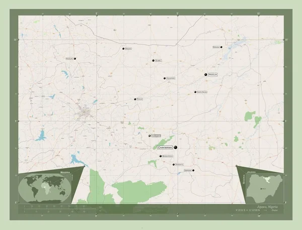
Jigawa, state of Nigeria. Open Street Map. Locations and names of major cities of the region. Corner auxiliary location maps
Jigawa State Nigeria Open Street Map Locations Names Major Cities — Stock Photo, Image
Kirundo, province of Burundi. Low resolution satellite map. Locations and names of major cities of the region. Corner auxiliary location maps
Kirundo Province Burundi Low Resolution Satellite Map Locations Names Major — Stock Photo, Image
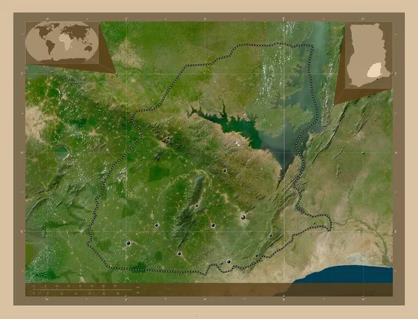
Eastern, region of Ghana. Low resolution satellite map. Locations of major cities of the region. Corner auxiliary location maps
Eastern Region Ghana Low Resolution Satellite Map Locations Major Cities — Stock Photo, Image
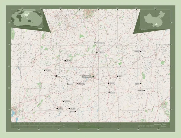
Guizhou, province of China. Open Street Map. Locations and names of major cities of the region. Corner auxiliary location maps
Guizhou Province China Open Street Map Locations Names Major Cities — Stock Photo, Image
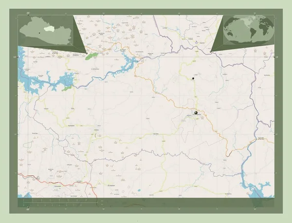
Cabanas, department of El Salvador. Open Street Map. Locations of major cities of the region. Corner auxiliary location maps
Cabanas Department Salvador Open Street Map Locations Major Cities Region — Stock Photo, Image
Est, region of Burkina Faso. Open Street Map. Corner auxiliary location maps
Est Region Burkina Faso Open Street Map Corner Auxiliary Location — Stock Photo, Image
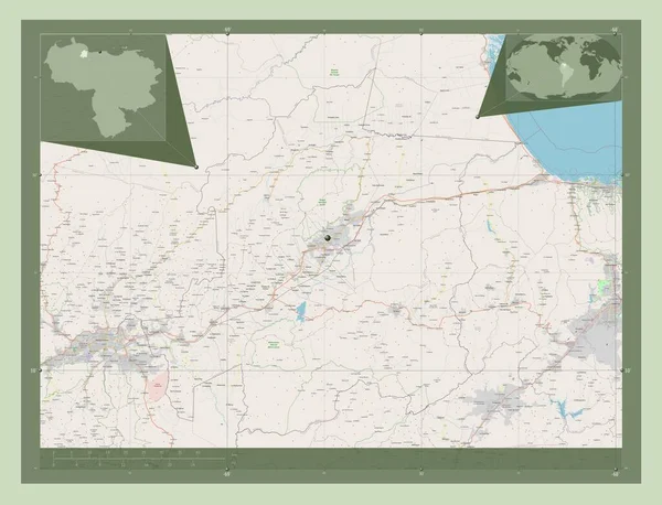
Yaracuy, state of Venezuela. Open Street Map. Corner auxiliary location maps
Yaracuy State Venezuela Open Street Map Corner Auxiliary Location Maps — Stock Photo, Image
Indiana USA map background
Indiana Usa Map Background — Stock Photo, Image
Indiana USA map background
Indiana Usa Map Background — Stock Photo, Image
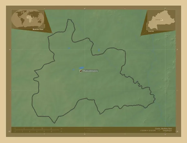
Centre, region of Burkina Faso. Colored elevation map with lakes and rivers. Locations and names of major cities of the region. Corner auxiliary location maps
Centre Region Burkina Faso Colored Elevation Map Lakes Rivers Locations — Stock Photo, Image
Lunda Norte, province of Angola. Low resolution satellite map. Corner auxiliary location maps
Lunda Norte Province Angola Low Resolution Satellite Map Corner Auxiliary — Stock Photo, Image
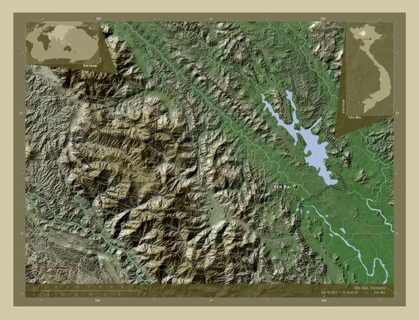
Yen Bai, province of Vietnam. Elevation map colored in wiki style with lakes and rivers. Locations and names of major cities of the region. Corner auxiliary location maps
Yen Bai Province Vietnam Elevation Map Colored Wiki Style Lakes — Stock Photo, Image
Upper West, region of Ghana. Elevation map colored in sepia tones with lakes and rivers. Corner auxiliary location maps
Upper West Region Ghana Elevation Map Colored Sepia Tones Lakes — Stock Photo, Image
Vinnytsya, region of Ukraine. Elevation map colored in sepia tones with lakes and rivers. Corner auxiliary location maps
Vinnytsya Region Ukraine Elevation Map Colored Sepia Tones Lakes Rivers — Stock Photo, Image
Jigawa, state of Nigeria. Open Street Map. Corner auxiliary location maps
Jigawa State Nigeria Open Street Map Corner Auxiliary Location Maps — Stock Photo, Image
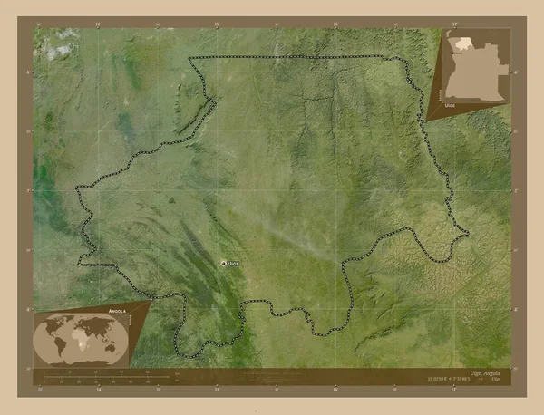
Uige, province of Angola. Low resolution satellite map. Locations and names of major cities of the region. Corner auxiliary location maps
Uige Province Angola Low Resolution Satellite Map Locations Names Major — Stock Photo, Image
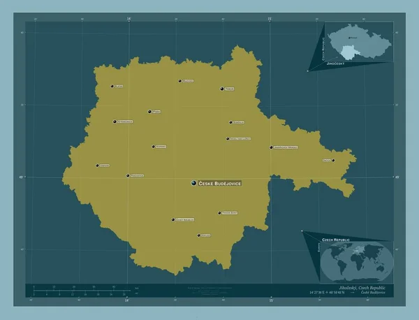
Jihocesky, region of Czech Republic. Solid color shape. Locations and names of major cities of the region. Corner auxiliary location maps
Jihocesky Region Czech Republic Solid Color Shape Locations Names Major — Stock Photo, Image
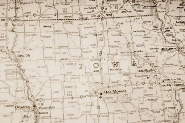
Iowa state on the map
Iowa State Map — Stock Photo, Image
Iowa state on the map
Iowa State Map — Stock Photo, Image
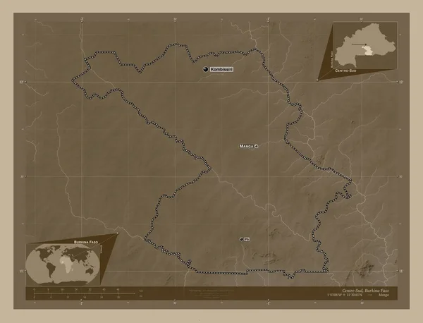
Centre-Sud, region of Burkina Faso. Elevation map colored in sepia tones with lakes and rivers. Locations and names of major cities of the region. Corner auxiliary location maps
Centre Sud Region Burkina Faso Elevation Map Colored Sepia Tones — Stock Photo, Image
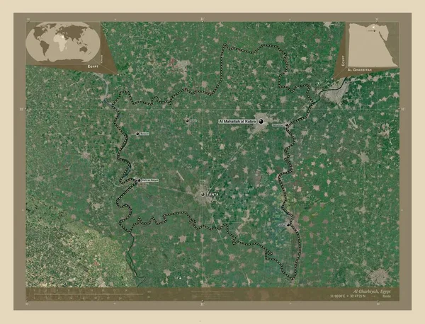
Al Gharbiyah, governorate of Egypt. High resolution satellite map. Locations and names of major cities of the region. Corner auxiliary location maps
Gharbiyah Governorate Egypt High Resolution Satellite Map Locations Names Major — Stock Photo, Image
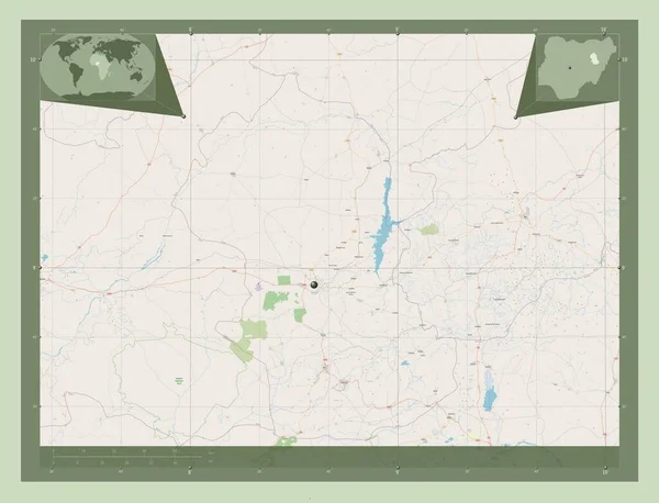
Gombe, state of Nigeria. Open Street Map. Corner auxiliary location maps
Gombe State Nigeria Open Street Map Corner Auxiliary Location Maps — Stock Photo, Image
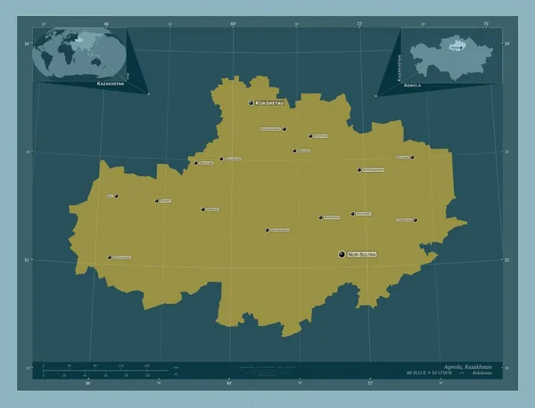
Aqmola, region of Kazakhstan. Solid color shape. Locations and names of major cities of the region. Corner auxiliary location maps
Aqmola Region Kazakhstan Solid Color Shape Locations Names Major Cities — Stock Photo, Image
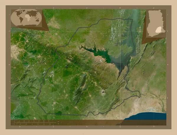
Eastern, region of Ghana. Low resolution satellite map. Corner auxiliary location maps
Eastern Region Ghana Low Resolution Satellite Map Corner Auxiliary Location — Stock Photo, Image
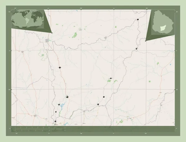
Florida, department of Uruguay. Open Street Map. Locations of major cities of the region. Corner auxiliary location maps
Florida Department Uruguay Open Street Map Locations Major Cities Region — Stock Photo, Image
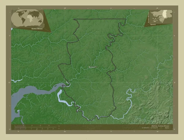
Bafata, region of Guinea-Bissau. Elevation map colored in wiki style with lakes and rivers. Locations and names of major cities of the region. Corner auxiliary location maps
Bafata Region Guinea Bissau Elevation Map Colored Wiki Style Lakes — Stock Photo, Image
Kermanshah, province of Iran. Open Street Map. Locations and names of major cities of the region. Corner auxiliary location maps
Kermanshah Province Iran Open Street Map Locations Names Major Cities — Stock Photo, Image
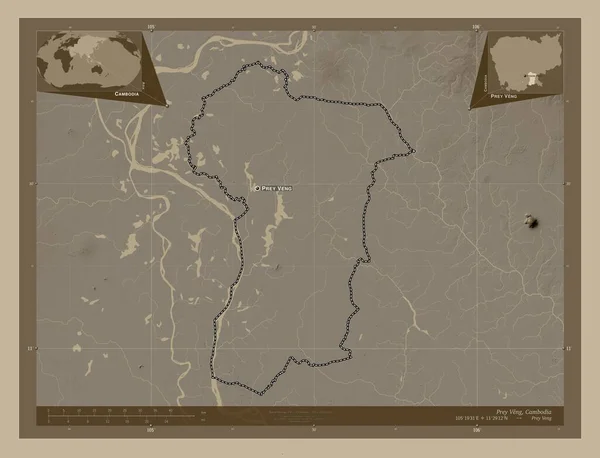
Prey Veng, province of Cambodia. Elevation map colored in sepia tones with lakes and rivers. Locations and names of major cities of the region. Corner auxiliary location maps
Prey Veng Province Cambodia Elevation Map Colored Sepia Tones Lakes — Stock Photo, Image
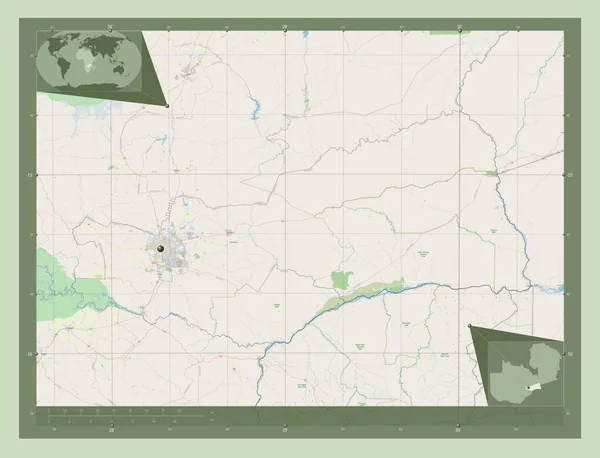
Lusaka, province of Zambia. Open Street Map. Corner auxiliary location maps
Lusaka Province Zambia Open Street Map Corner Auxiliary Location Maps — Stock Photo, Image
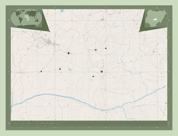
Nassarawa, state of Nigeria. Open Street Map. Locations of major cities of the region. Corner auxiliary location maps
Nassarawa State Nigeria Open Street Map Locations Major Cities Region — Stock Photo, Image
Rajasthan, state of India. Open Street Map. Corner auxiliary location maps
Rajasthan State India Open Street Map Corner Auxiliary Location Maps — Stock Photo, Image
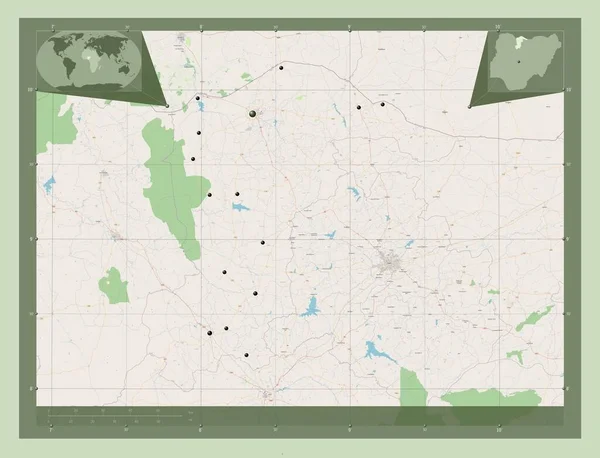
Katsina, state of Nigeria. Open Street Map. Locations of major cities of the region. Corner auxiliary location maps
Katsina State Nigeria Open Street Map Locations Major Cities Region — Stock Photo, Image
Al Gharbiyah, governorate of Egypt. Elevation map colored in sepia tones with lakes and rivers. Corner auxiliary location maps
Gharbiyah Governorate Egypt Elevation Map Colored Sepia Tones Lakes Rivers — Stock Photo, Image
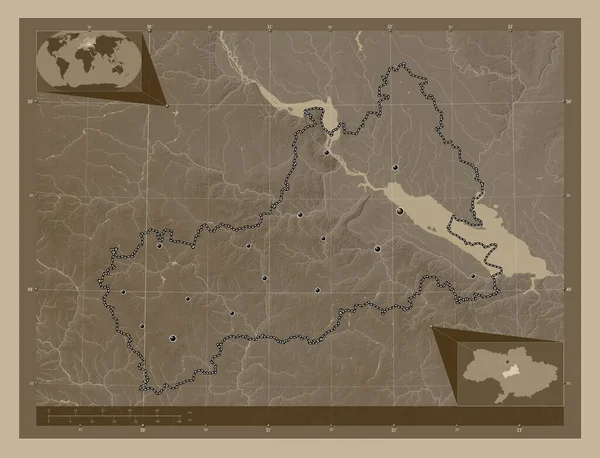
Cherkasy, region of Ukraine. Elevation map colored in sepia tones with lakes and rivers. Locations of major cities of the region. Corner auxiliary location maps
Cherkasy Region Ukraine Elevation Map Colored Sepia Tones Lakes Rivers — Stock Photo, Image
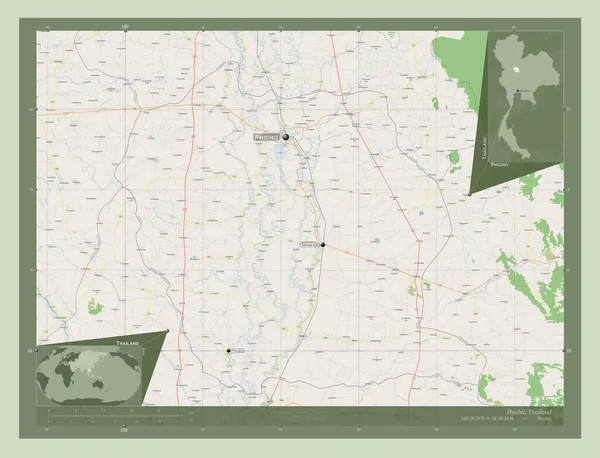
Phichit, province of Thailand. Open Street Map. Locations and names of major cities of the region. Corner auxiliary location maps
Phichit Province Thailand Open Street Map Locations Names Major Cities — Stock Photo, Image
Sahel, region of Burkina Faso. Open Street Map. Locations and names of major cities of the region. Corner auxiliary location maps
Sahel Region Burkina Faso Open Street Map Locations Names Major — Stock Photo, Image
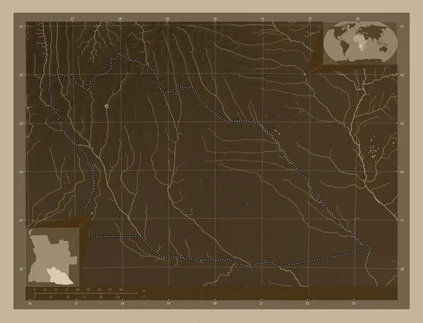
Cuando Cubango, province of Angola. Elevation map colored in sepia tones with lakes and rivers. Locations of major cities of the region. Corner auxiliary location maps
Cuando Cubango Province Angola Elevation Map Colored Sepia Tones Lakes — Stock Photo, Image
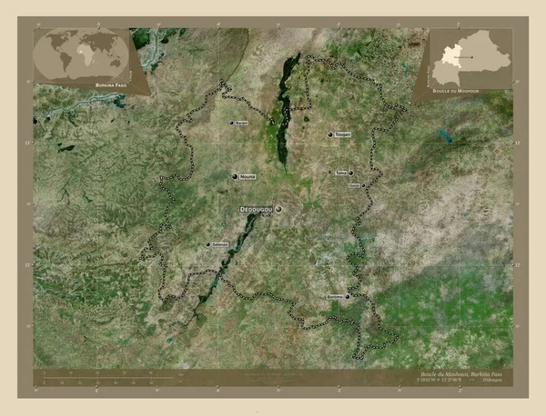
Boucle du Mouhoun, region of Burkina Faso. High resolution satellite map. Locations and names of major cities of the region. Corner auxiliary location maps
Boucle Mouhoun Region Burkina Faso High Resolution Satellite Map Locations — Stock Photo, Image
Lunda Norte, province of Angola. Low resolution satellite map. Locations of major cities of the region. Corner auxiliary location maps
Lunda Norte Province Angola Low Resolution Satellite Map Locations Major — Stock Photo, Image
Sahel, region of Burkina Faso. Open Street Map. Locations of major cities of the region. Corner auxiliary location maps
Sahel Region Burkina Faso Open Street Map Locations Major Cities — Stock Photo, Image
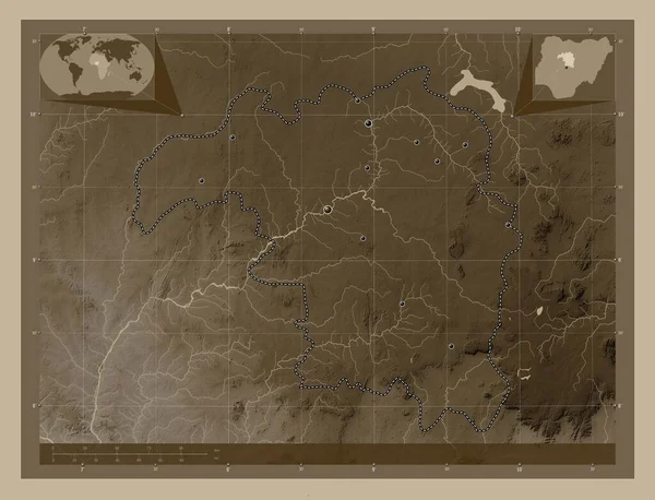
Kaduna, state of Nigeria. Elevation map colored in sepia tones with lakes and rivers. Locations of major cities of the region. Corner auxiliary location maps
Kaduna State Nigeria Elevation Map Colored Sepia Tones Lakes Rivers — Stock Photo, Image
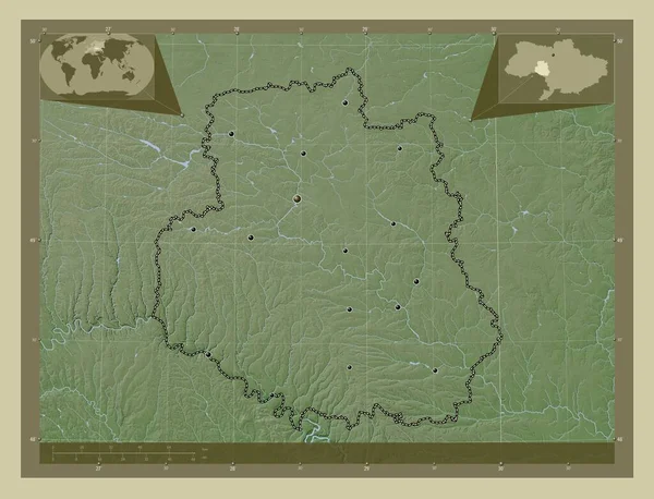
Vinnytsya, region of Ukraine. Elevation map colored in wiki style with lakes and rivers. Locations of major cities of the region. Corner auxiliary location maps
Vinnytsya Region Ukraine Elevation Map Colored Wiki Style Lakes Rivers — Stock Photo, Image
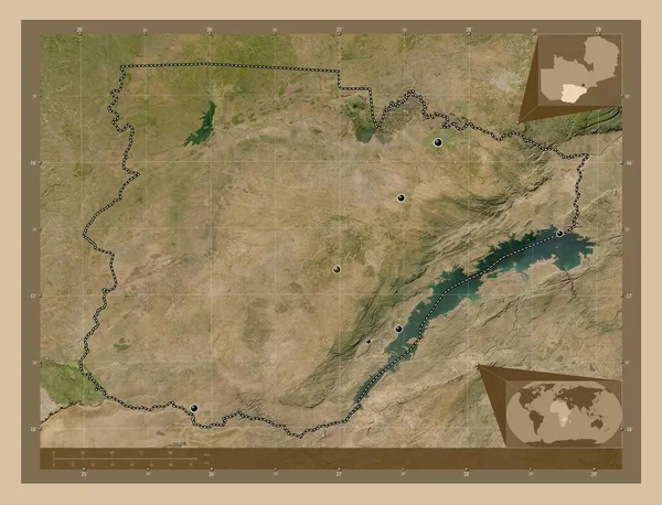
Southern, region of Zambia. Low resolution satellite map. Locations of major cities of the region. Corner auxiliary location maps
Southern Region Zambia Low Resolution Satellite Map Locations Major Cities — Stock Photo, Image
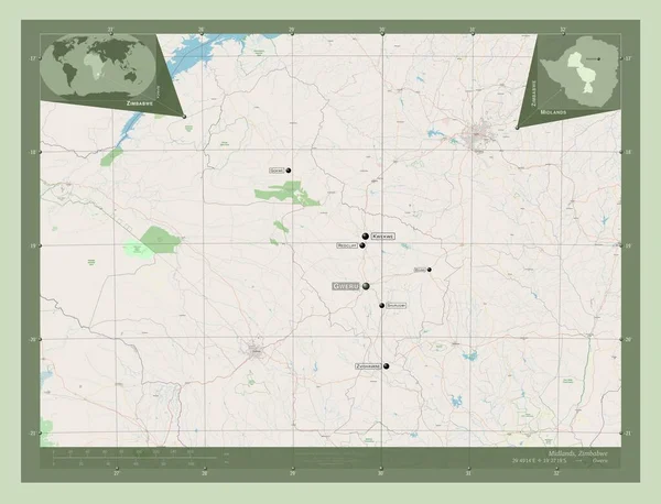
Midlands, province of Zimbabwe. Open Street Map. Locations and names of major cities of the region. Corner auxiliary location maps
Midlands Province Zimbabwe Open Street Map Locations Names Major Cities — Stock Photo, Image
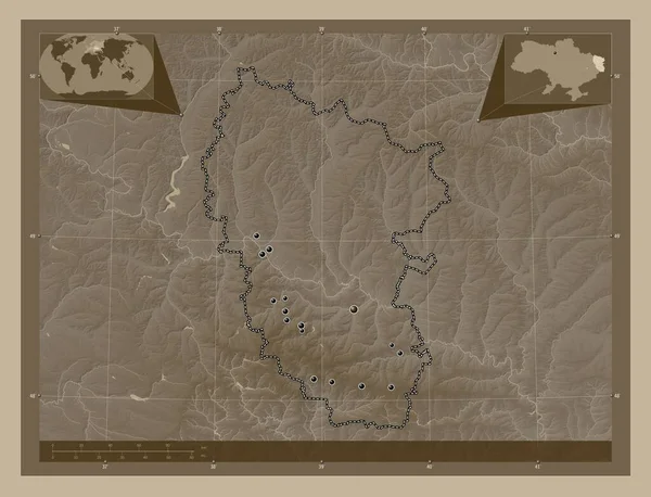
Luhans'k, region of Ukraine. Elevation map colored in sepia tones with lakes and rivers. Locations of major cities of the region. Corner auxiliary location maps
Luhans Region Ukraine Elevation Map Colored Sepia Tones Lakes Rivers — Stock Photo, Image
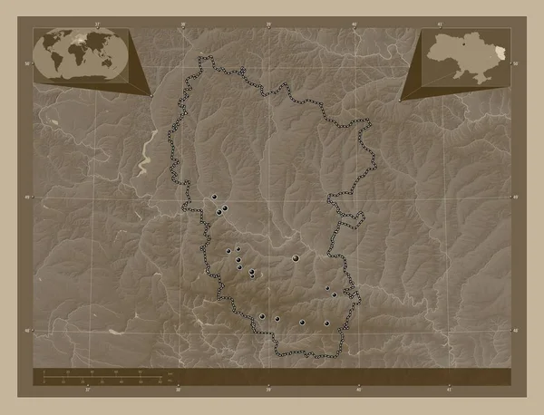
Luhans'k, region of Ukraine. Elevation map colored in sepia tones with lakes and rivers. Locations of major cities of the region. Corner auxiliary location maps
Luhans Region Ukraine Elevation Map Colored Sepia Tones Lakes Rivers — Stock Photo, Image
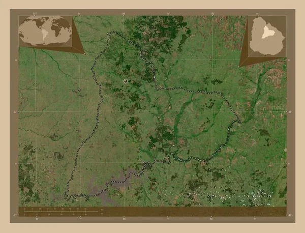
Tacuarembo, department of Uruguay. Low resolution satellite map. Corner auxiliary location maps
Tacuarembo Department Uruguay Low Resolution Satellite Map Corner Auxiliary Location — Stock Photo, Image
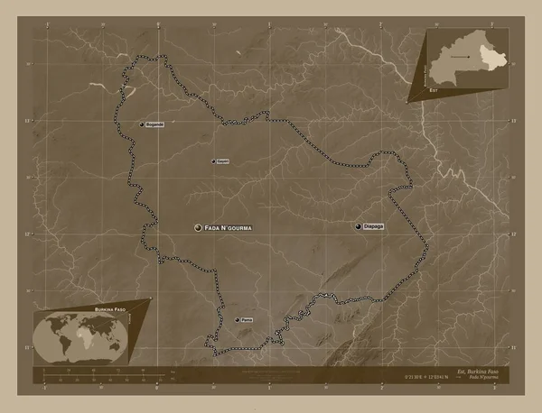
Est, region of Burkina Faso. Elevation map colored in sepia tones with lakes and rivers. Locations and names of major cities of the region. Corner auxiliary location maps
Est Region Burkina Faso Elevation Map Colored Sepia Tones Lakes — Stock Photo, Image
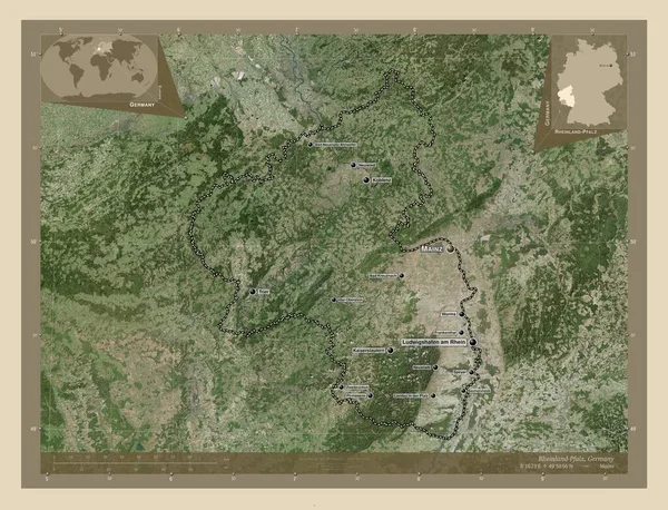
Rheinland-Pfalz, state of Germany. High resolution satellite map. Locations and names of major cities of the region. Corner auxiliary location maps
Rheinland Pfalz State Germany High Resolution Satellite Map Locations Names — Stock Photo, Image
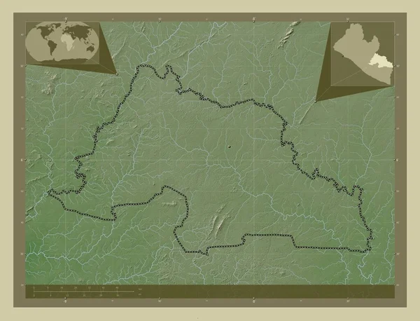
Grand Gedeh, county of Liberia. Elevation map colored in wiki style with lakes and rivers. Corner auxiliary location maps
Grand Gedeh County Liberia Elevation Map Colored Wiki Style Lakes — Stock Photo, Image
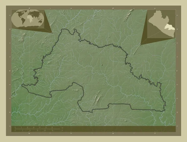
Grand Gedeh, county of Liberia. Elevation map colored in wiki style with lakes and rivers. Locations of major cities of the region. Corner auxiliary location maps
Grand Gedeh County Liberia Elevation Map Colored Wiki Style Lakes — Stock Photo, Image
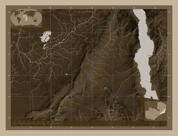
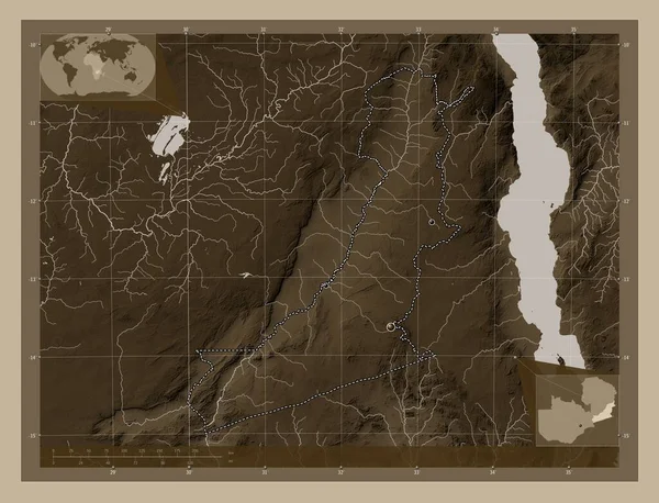
Eastern, region of Zambia. Elevation map colored in sepia tones with lakes and rivers. Corner auxiliary location maps
Eastern Region Zambia Elevation Map Colored Sepia Tones Lakes Rivers — Stock Photo, Image
Eastern, region of Zambia. Elevation map colored in sepia tones with lakes and rivers. Locations of major cities of the region. Corner auxiliary location maps
Eastern Region Zambia Elevation Map Colored Sepia Tones Lakes Rivers — Stock Photo, Image
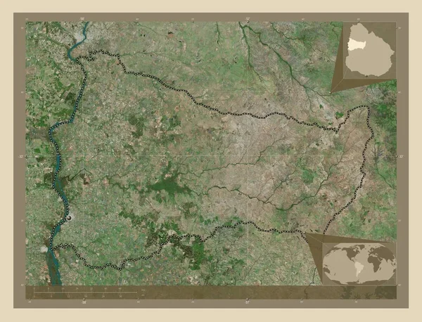
Paysandu, department of Uruguay. High resolution satellite map. Corner auxiliary location maps
Paysandu Department Uruguay High Resolution Satellite Map Corner Auxiliary Location — Stock Photo, Image

Find High-Quality Indiana Map Images on Our Site

If you need Indiana map images for your next project, you’ve come to the right place. Our stock images feature detailed maps of Indiana, including cities, highways, and topographical maps. You can find images in various formats, including JPG, AI, and EPS. These images are perfect for graphic designers, marketers, and anyone else who needs to use Indiana map images in their work.

Types of Indiana Map Images Available

We offer a wide variety of Indiana map images, including:

  • City maps of Indianapolis, Fort Wayne, Gary, and other major cities in Indiana.
  • Highway maps of Indiana, showing major interstates and highways.
  • Topographical maps of Indiana, showing the terrain and elevation of different regions.
  • Satellite maps of Indiana, providing a bird’s eye view of the state.

All of our Indiana map images are high-quality and can be used for a variety of purposes, including website design, marketing materials, and presentations.

How to Choose the Right Indiana Map Image for Your Project

When selecting an Indiana map image for your project, it’s important to consider the purpose of the image and the tone of your project. A satellite map, for example, might be suitable for a travel website, while a topographical map might be more appropriate for an outdoor gear company. Keep in mind that the image should be high-quality and fit in with the overall design of your project.
When using Indiana map images, it’s also important to make sure you have the right to use the image. Be sure to check the licensing terms before you download any images, and avoid using images that you don’t have the right to use.

Where to Use Indiana Map Images

Indiana map images can be used in a variety of settings, including:

  • Website design
  • Marketing materials
  • Presentations
  • Research papers and reports
  • Education materials

No matter where you use them, make sure the images enhance your project and fit in with the overall tone and design.
Buy Indiana Map Images Today

If you need Indiana map images for your next project, you can find a wide selection of high-quality images on our site. Our images are available in various formats and can be used in a variety of settings. Choose the right image for your project, and get started today!