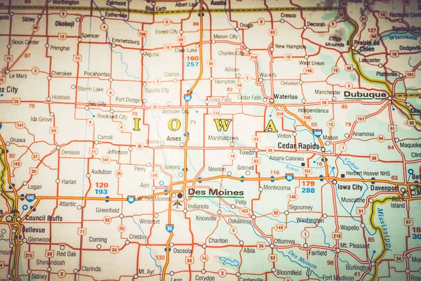
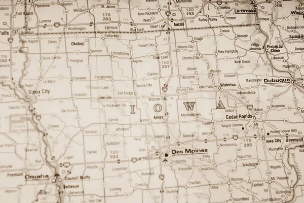
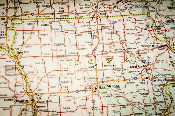
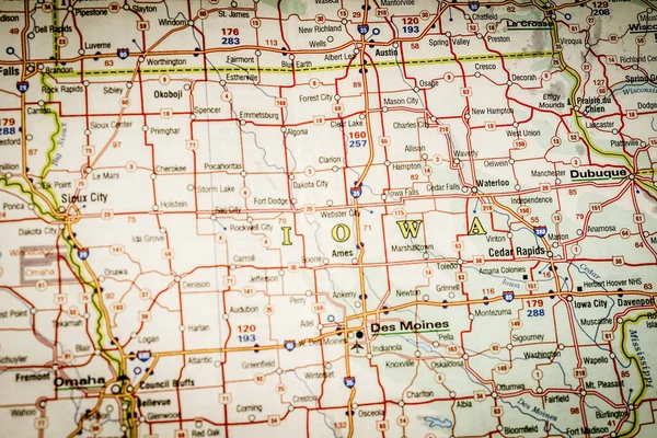
Iowa state on the map
Iowa State Map — Stock Photo, Image
Three-dimensional map of Iowa. USA.
Three-dimensional map of Iowa. USA. — Stock Photo, Image
Neon shining outline map of the state on usa national flag backdrop
Neon shining outline map of the state on usa national flag backdrop — Stock Photo, Image
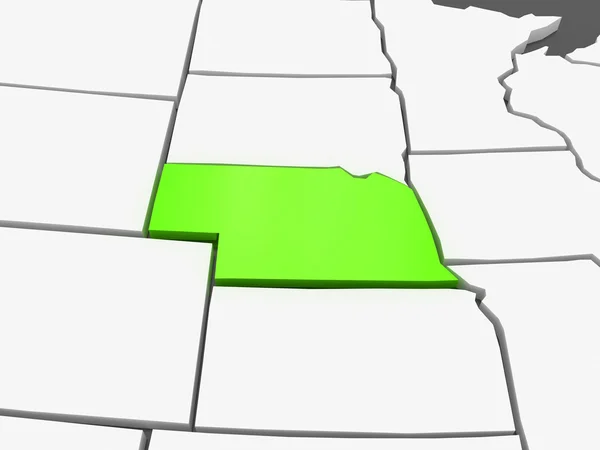
Three-dimensional map of Nebraska. USA.
Three-dimensional map of Nebraska. USA. — Stock Photo, Image
Map of iowa, geographical map illustration
Map Iowa Geographical Map Illustration — Stock Photo, Image
Three-dimensional map of Nebraska. USA.
Three-dimensional map of Nebraska. USA. — Stock Photo, Image
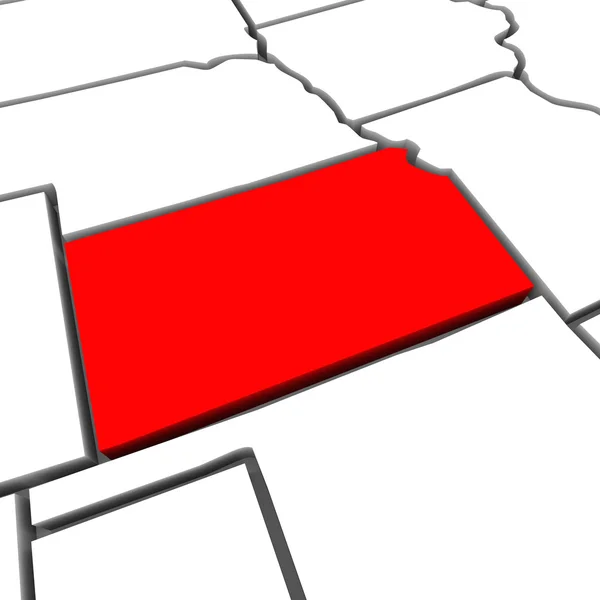
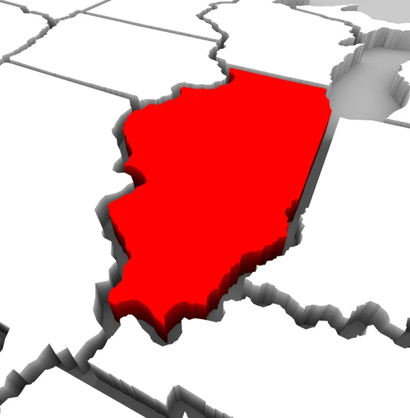
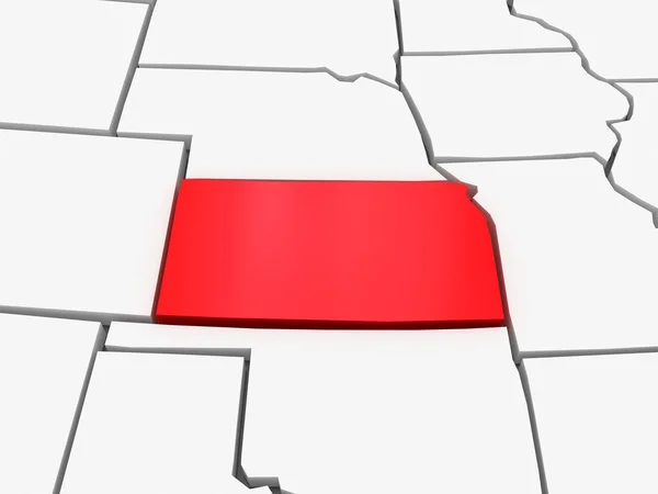
Kansas Red Abstract 3D State Map United States America
Kansas Red Abstract 3D State Map United States America — Stock Photo, Image
3d Render of the United States Highlighting Michigan
3d Render of the United States Highlighting Michigan — Stock Photo, Image
Nebraska Red Abstract 3D State Map United States America
Nebraska Red Abstract 3D State Map United States America — Stock Photo, Image
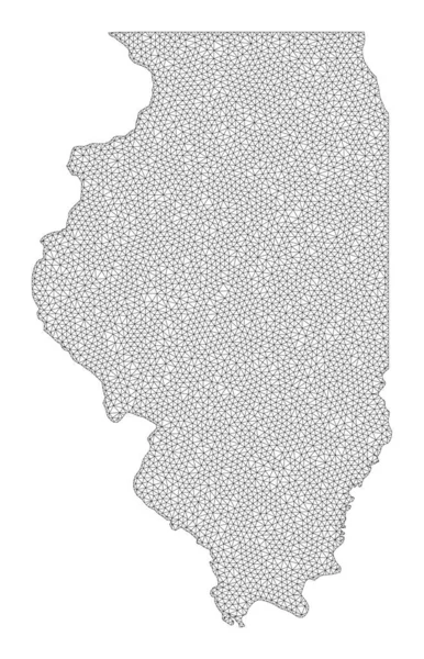
Polygonal Wire Frame Mesh High Detail Raster Map of Illinois State Abstractions
Polygonal Wire Frame Mesh High Detail Raster Map of Illinois State Abstractions — Stock Photo, Image
Iowa state on the map
Iowa State Map — Stock Photo, Image
Iowa state on the map
Iowa State Map — Stock Photo, Image
An illustration of the 18th century map of Pennsylvania
Illustration 18Th Century Map Pennsylvania — Stock Photo, Image
Wisconsin
Wisconsin — Stock Photo, Image
State of Illinois on black background
State of Illinois on black background — Stock Photo, Image
Minnesota, state of United States of America. Elevation map colored in wiki style with lakes and rivers
Minnesota State United States America Elevation Map Colored Wiki Style — Stock Photo, Image
Illinois State Map - 3d Illustration
Illinois State Map - 3d Illustration — Stock Photo, Image
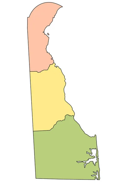
Delaware administrative map. counties map of Delaware with different colours, blank Map, empty map of Delaware
Delaware Administrative Map Counties Map Delaware Different Colours Blank Map — Stock Photo, Image
Illinois map
Illinois map — Stock Photo, Image
One piece of torn paper on white
One Piece Torn Paper White — Stock Photo, Image
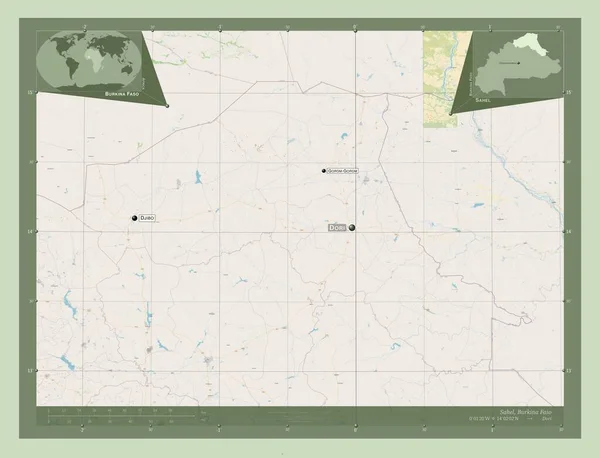
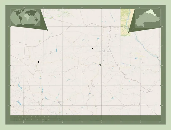
Sahel, region of Burkina Faso. Open Street Map. Corner auxiliary location maps
Sahel Region Burkina Faso Open Street Map Corner Auxiliary Location — Stock Photo, Image
Map of Olomouc. Czech Republic.
Map of Olomouc. Czech Republic. — Stock Photo, Image
Shape of Distrito Federal, federal district of Brazil, with its capital isolated on a solid color background. Composition of patterned textures. 3D rendering
Shape Distrito Federal Federal District Brazil Its Capital Isolated Solid — Stock Photo, Image
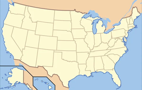
USA Map
USA Map — Stock Photo, Image
Chubut, province of Argentina. Solid color shape. Corner auxiliary location maps
Chubut Province Argentina Solid Color Shape Corner Auxiliary Location Maps — Stock Photo, Image
Map South Sudan. Isolated Illustration. Black on White background.
Map South Sudan Isolated Illustration Black White Background — Stock Photo, Image
Map of Crete on weathered concrete
Map Crete Weathered Concrete — Stock Photo, Image
Sahel, region of Burkina Faso. Open Street Map. Locations and names of major cities of the region. Corner auxiliary location maps
Sahel Region Burkina Faso Open Street Map Locations Names Major — Stock Photo, Image
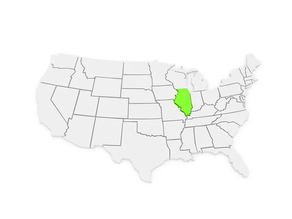
Three-dimensional map of Illinois. USA.
Three-dimensional map of Illinois. USA. — Stock Photo, Image
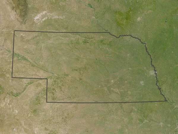
Nebraska, state of United States of America. Low resolution satellite map
Nebraska State United States America Low Resolution Satellite Map — Stock Photo, Image
Map of Rondonia on dark slate
Map Rondonia Dark Slate — Stock Photo, Image
Map of Manitoba
Map of Manitoba — Stock Photo, Image
Sahel, region of Burkina Faso. Open Street Map. Locations of major cities of the region. Corner auxiliary location maps
Sahel Region Burkina Faso Open Street Map Locations Major Cities — Stock Photo, Image
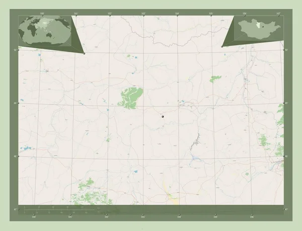
Bulgan, province of Mongolia. Open Street Map. Corner auxiliary location maps
Bulgan Province Mongolia Open Street Map Corner Auxiliary Location Maps — Stock Photo, Image
Bulgan, province of Mongolia. Open Street Map. Locations of major cities of the region. Corner auxiliary location maps
Bulgan Province Mongolia Open Street Map Locations Major Cities Region — Stock Photo, Image
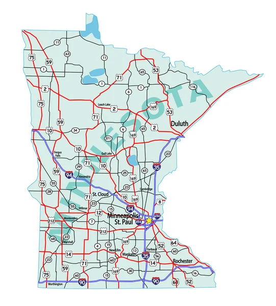
Minnesota State Interstate Map
Minnesota State Interstate Map — Stock Photo, Image
Shape of Alberta, province of Canada, with its capital isolated on a solid color background. Composition of patterned textures. 3D rendering
Shape Alberta Province Canada Its Capital Isolated Solid Color Background — Stock Photo, Image
Republic of Hungary
Republic of Hungary — Stock Photo, Image
Three-dimensional map of Kentucky. USA.
Three-dimensional map of Kentucky. USA. — Stock Photo, Image
Iowa state on the map
Iowa State Map — Stock Photo, Image
Iowa state on the map
Iowa State Map — Stock Photo, Image
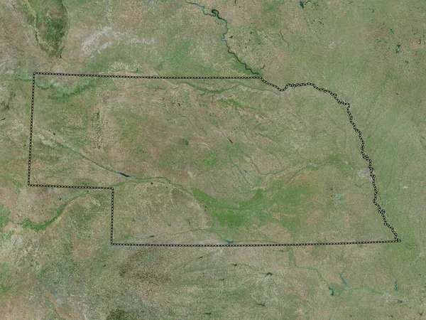
Nebraska, state of United States of America. High resolution satellite map
Nebraska State United States America High Resolution Satellite Map — Stock Photo, Image
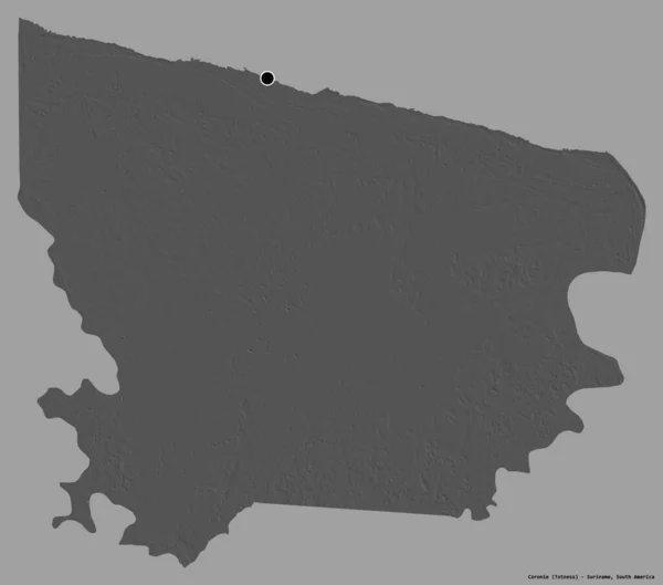
Shape of Coronie, district of Suriname, with its capital isolated on a solid color background. Bilevel elevation map. 3D rendering
Shape Coronie District Suriname Its Capital Isolated Solid Color Background — Stock Photo, Image
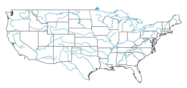
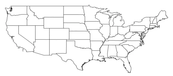
United States States Map
United States States Map — Stock Photo, Image
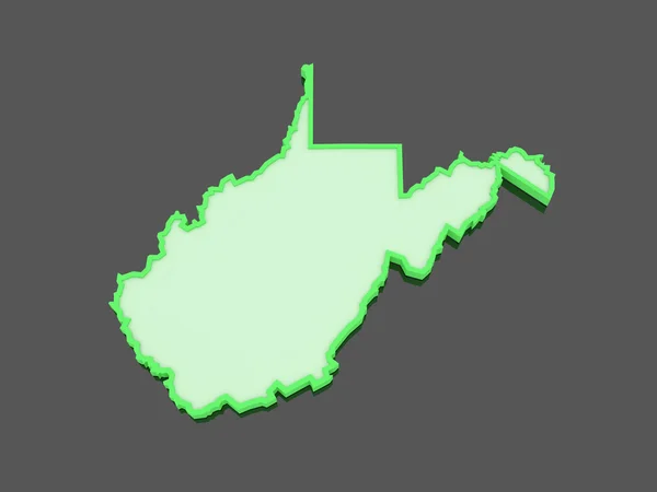
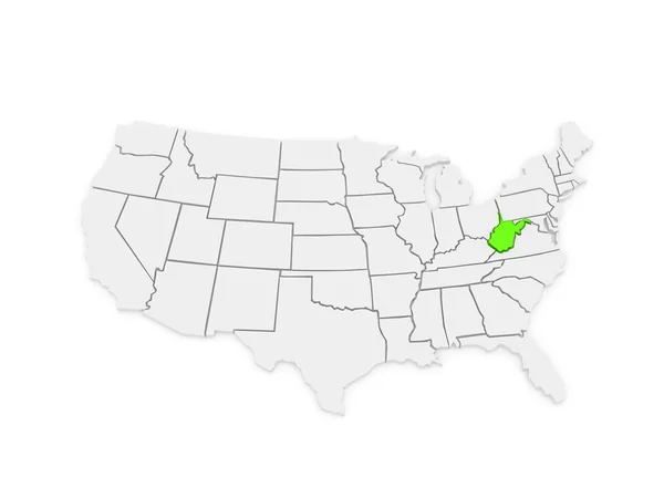
Three-dimensional map of West Virginia. USA.
Three-dimensional map of West Virginia. USA. — Stock Photo, Image
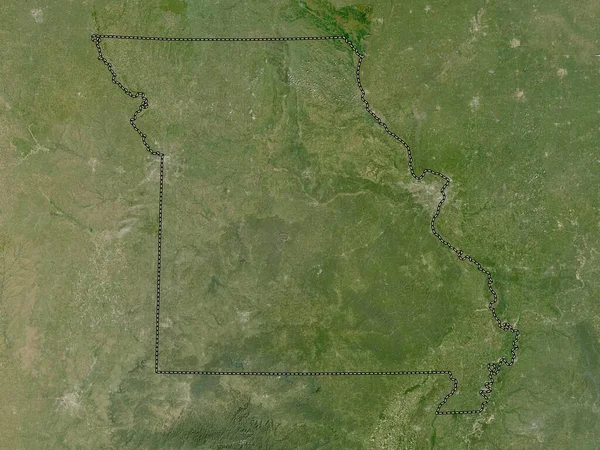
Missouri, state of United States of America. Low resolution satellite map
Missouri State United States America Low Resolution Satellite Map — Stock Photo, Image
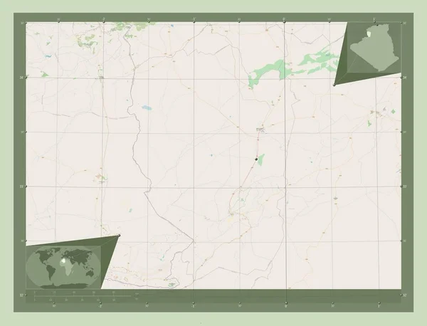
Naama, province of Algeria. Open Street Map. Corner auxiliary location maps
Naama Province Algeria Open Street Map Corner Auxiliary Location Maps — Stock Photo, Image
Republic of Guatemala map
Republic of Guatemala map — Stock Photo, Image
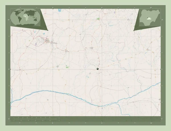
Nassarawa, state of Nigeria. Open Street Map. Corner auxiliary location maps
Nassarawa State Nigeria Open Street Map Corner Auxiliary Location Maps — Stock Photo, Image
Illinois IL State USA
Illinois IL State USA — Stock Photo, Image
Political map of Austria with the several states.
Political Map Austria Several States — Stock Photo, Image
Detailed and accurate illustration of map of Montana
Detailed and accurate illustration of map of Montana — Stock Photo, Image
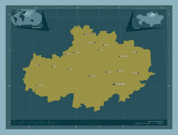
Aqmola, region of Kazakhstan. Solid color shape. Locations and names of major cities of the region. Corner auxiliary location maps
Aqmola Region Kazakhstan Solid Color Shape Locations Names Major Cities — Stock Photo, Image
Three-dimensional map of Kentucky. USA.
Three-dimensional map of Kentucky. USA. — Stock Photo, Image
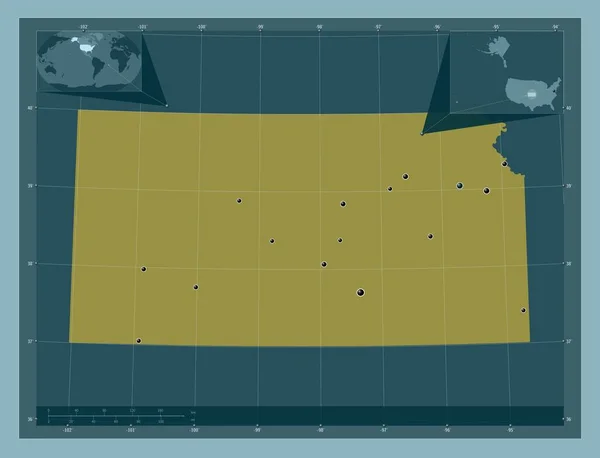
Kansas, state of United States of America. Solid color shape. Locations of major cities of the region. Corner auxiliary location maps
Kansas State United States America Solid Color Shape Locations Major — Stock Photo, Image
Illinois IL State Map Chicago Travel Business Destination Location 3d Illustration
Illinois State Map Chicago Travel Business Destination Location Illustration — Stock Photo, Image
One piece of ripped paper on white
One Piece Ripped Paper White — Stock Photo, Image
3d Render of the United States Highlighting Utah
3d Render of the United States Highlighting Utah — Stock Photo, Image
Squared Paper with the Shape of the Country of Paraguay
Squared Paper with the Shape of the Country of  Paraguay — Stock Photo, Image
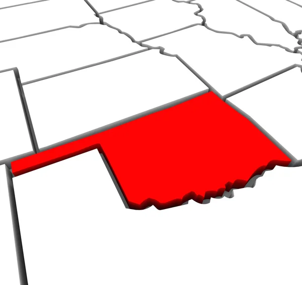
Oklahoma Red Abstract 3D State Map United States America
Oklahoma Red Abstract 3D State Map United States America — Stock Photo, Image
A sheet of paper torn to pieces isolated on white background
Sheet Paper Torn Pieces Isolated White Background — Stock Photo, Image
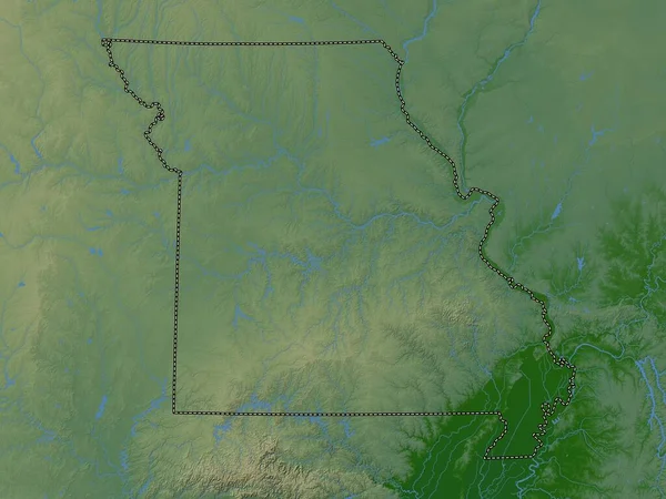
Missouri, state of United States of America. Colored elevation map with lakes and rivers
Missouri State United States America Colored Elevation Map Lakes Rivers — Stock Photo, Image
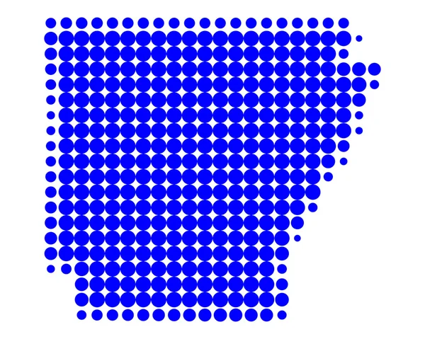
Map of Arkansas
Map of Arkansas — Stock Photo, Image
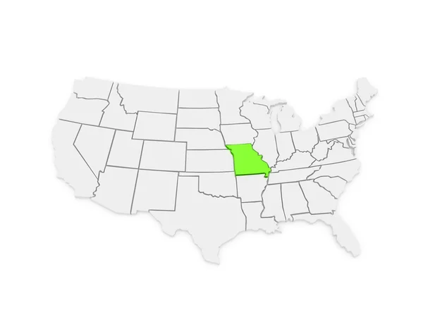
Three-dimensional map of Missouri. USA.
Three-dimensional map of Missouri. USA. — Stock Photo, Image
East Kazakhstan, region of Kazakhstan. Solid color shape. Locations and names of major cities of the region. Corner auxiliary location maps
East Kazakhstan Region Kazakhstan Solid Color Shape Locations Names Major — Stock Photo, Image
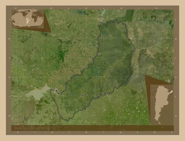
Misiones, province of Argentina. Low resolution satellite map. Locations of major cities of the region. Corner auxiliary location maps
Misiones Province Argentina Low Resolution Satellite Map Locations Major Cities — Stock Photo, Image
Gabu, region of Guinea-Bissau. High resolution satellite map
Gabu Region Guinea Bissau High Resolution Satellite Map — Stock Photo, Image
3d Render of the United States Highlighting Wyoming
3d Render of the United States Highlighting Wyoming — Stock Photo, Image
Luhans'k, region of Ukraine. Solid color shape
Luhans Region Ukraine Solid Color Shape — Stock Photo, Image
Luhans'k, region of Ukraine. Solid color shape
Luhans Region Ukraine Solid Color Shape — Stock Photo, Image
Shape of Kansas, state of Mainland United States, with its capital isolated on solid background. Distance scale, region preview and labels. Topographic relief map. 3D rendering
Shape Kansas State Mainland United States Its Capital Isolated Solid — Stock Photo, Image
3d Render of the United States Highlighting Illinois
3d Render of the United States Highlighting Illinois — Stock Photo, Image
Political map of United States with the several states where Wisconsin is highlighted.
Political Map United States Several States Wisconsin Highlighted — Stock Photo, Image
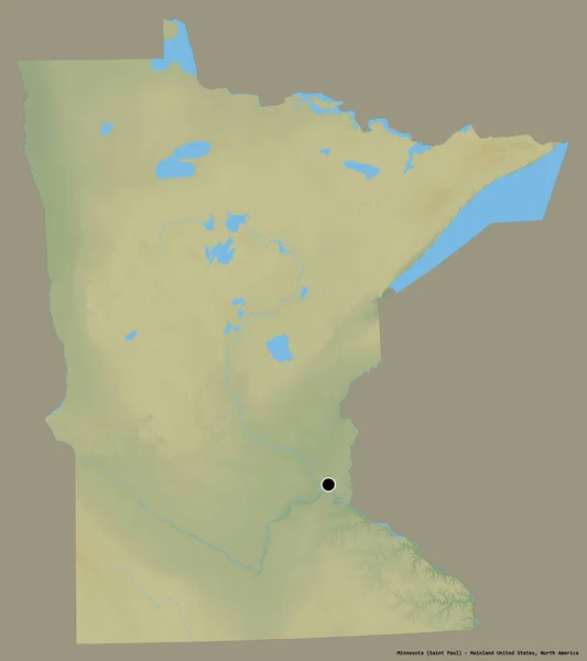
Shape of Minnesota, state of Mainland United States, with its capital isolated on a solid color background. Topographic relief map. 3D rendering
Shape Minnesota State Mainland United States Its Capital Isolated Solid — Stock Photo, Image
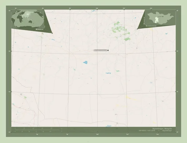
Bayanhongor, province of Mongolia. Open Street Map. Locations and names of major cities of the region. Corner auxiliary location maps
Bayanhongor Province Mongolia Open Street Map Locations Names Major Cities — Stock Photo, Image
Three-dimensional map of Kansas. USA.
Three-dimensional map of Kansas. USA. — Stock Photo, Image
Three-dimensional map of Wisconsin. USA.
Three-dimensional map of Wisconsin. USA. — Stock Photo, Image
Es Semara, province of Western Sahara. Solid color shape
Semara Province Western Sahara Solid Color Shape — Stock Photo, Image
Es Semara, province of Western Sahara. Solid color shape
Semara Province Western Sahara Solid Color Shape — Stock Photo, Image
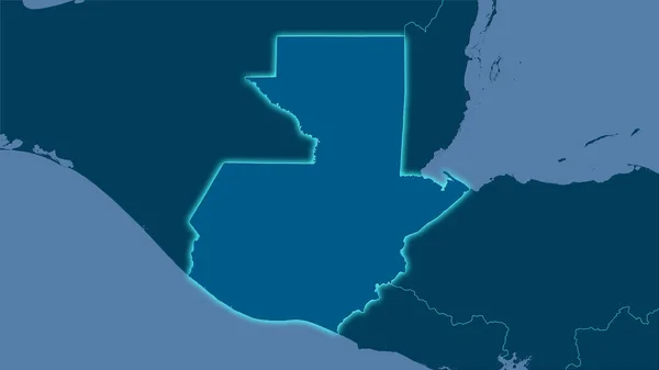
Guatemala area on the solid map in the stereographic projection - raw composition of raster layers with light glowing outline
Guatemala Area Solid Map Stereographic Projection Raw Composition Raster Layers — Stock Photo, Image
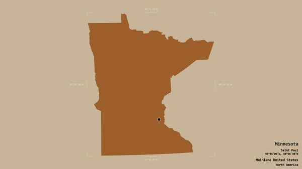
Area of Minnesota, state of Mainland United States, isolated on a solid background in a georeferenced bounding box. Labels. Composition of patterned textures. 3D rendering
Area Minnesota State Mainland United States Isolated Solid Background Georeferenced — Stock Photo, Image
Three-dimensional map of West Virginia. USA.
Three-dimensional map of West Virginia. USA. — Stock Photo, Image
Upper West, region of Ghana. Low resolution satellite map
Upper West Region Ghana Low Resolution Satellite Map — Stock Photo, Image
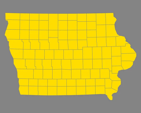
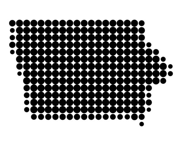
Map of Iowa
Map of Iowa — Stock Photo, Image
Detailed and accurate illustration of map of New Mexico
Detailed and accurate illustration of map of New Mexico — Stock Photo, Image
Map of Rhode Island
Map of Rhode Island — Stock Photo, Image
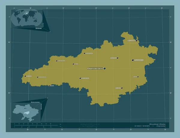
Kirovohrad, region of Ukraine. Solid color shape. Locations and names of major cities of the region. Corner auxiliary location maps
Kirovohrad Region Ukraine Solid Color Shape Locations Names Major Cities — Stock Photo, Image
3d Render of the United States Highlighting Indiana
3d Render of the United States Highlighting Indiana — Stock Photo, Image
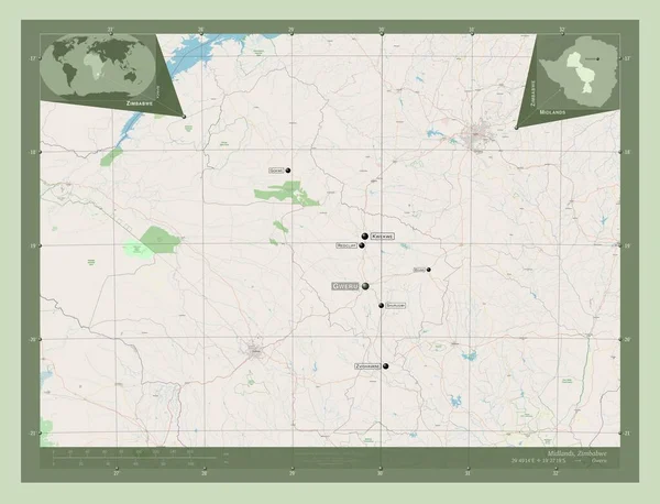
Midlands, province of Zimbabwe. Open Street Map. Locations and names of major cities of the region. Corner auxiliary location maps
Midlands Province Zimbabwe Open Street Map Locations Names Major Cities — Stock Photo, Image
Political map of United States with the several states where Utah is highlighted.
Political Map United States Several States Utah Highlighted — Stock Photo, Image
Abstract modern dynamic stylish decorative pattern wave banner background.
Abstract Modern Dynamic Stylish Decorative Pattern Wave Banner Background — Stock Photo, Image
United States
United States — Stock Photo, Image
The 2D State of Kansaoutline map on white background
State Kansaoutline Map White Background — Stock Photo, Image
Map of the country of Botswana
Map of the country of Botswana — Stock Photo, Image
Gray paint texture, digital wallpaper
Gray Paint Texture Digital Wallpaper — Stock Photo, Image
Dosso, department of Niger. Open Street Map. Corner auxiliary location maps
Dosso Department Niger Open Street Map Corner Auxiliary Location Maps — Stock Photo, Image
Three-dimensional map of Mississippi. USA.
Three-dimensional map of Mississippi. USA. — Stock Photo, Image

Iowa Map Images: The Perfect Visual for Your Project

Searching for the right images to use for your next project can be overwhelming. But if you're looking for something that can help you showcase the beauty and diversity of Iowa, then Iowa map images are the way to go. These images are perfect for use in a wide range of projects, from tourism brochures to educational materials, and they come in a variety of formats that make them easy to use. Here's what you need to know about the available Iowa map images.

Types of Images

Iowa map images come in different styles and formats, making them versatile and customizable according to your needs. You can choose from digital maps, hand-drawn maps, satellite maps, topographical maps, and many more. You can download these images in high-resolution JPEG, AI, and EPS formats. Each type of image has its own unique style and purpose, so it's important to choose the right one for your project.

Where to Use Iowa Map Images

There are many ways to use Iowa map images in your projects. For instance, if you're working on a tourism brochure, you can use a map image that shows the major tourist attractions in Iowa. Or if you're creating an educational material about the state, you can use a map that showcases the major rivers, lakes, and mountains in the state. You can also use these images in websites, presentations, and videos to add context and visual interest.

Tips for Choosing the Right Iowa Map Image

Choosing the right Iowa map image can be challenging, especially if you're not familiar with the state's geography. To make the task easier, consider the purpose of your project and the audience you're targeting. If you're creating a brochure for tourists, use an image that highlights the state's most popular attractions. If you're creating a poster for an educational event, use an image that shows the state's diverse landscapes. Also, consider the color scheme of the image and make sure it complements the overall design of your project.
Where to Find Iowa Map Images

Finding high-quality Iowa map images is easy. You can search for them online on stock image websites like Shutterstock, Getty Images, and iStock. You can also find them on websites that specialize in maps and cartography. Some of these websites offer free images, but be sure to check the licensing terms to avoid copyright issues. If you're looking for a more personalized map image, you can also hire a graphic designer to create one for you.

In conclusion, Iowa map images are a great visual asset that can add value to your projects. They are versatile, customizable, and easy to use. With the right image, you can showcase the state's beauty and diversity and create a lasting impression on your audience. Use the tips and resources mentioned in this article to choose the right Iowa map image for your project.